Map of Hartly town

Map of Hartly town

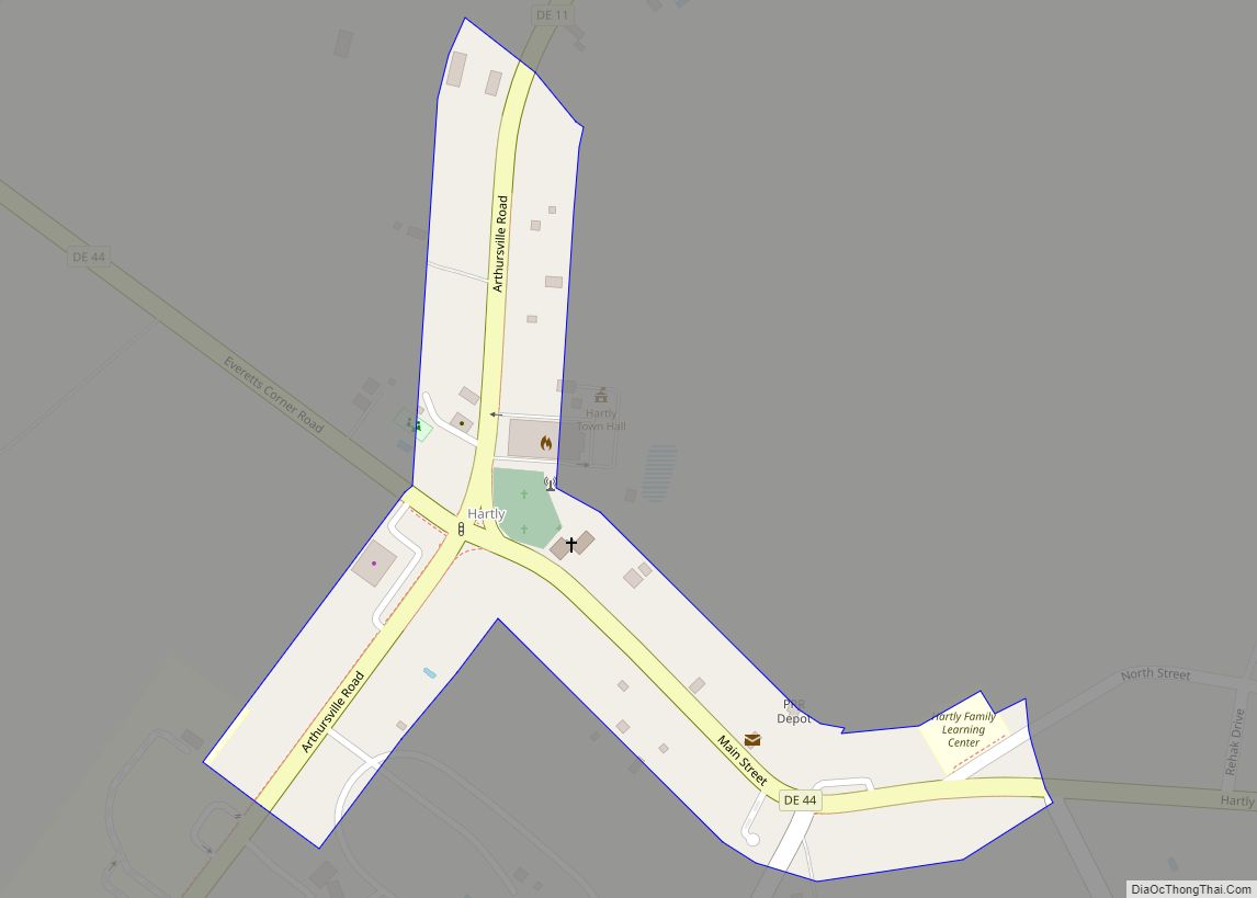
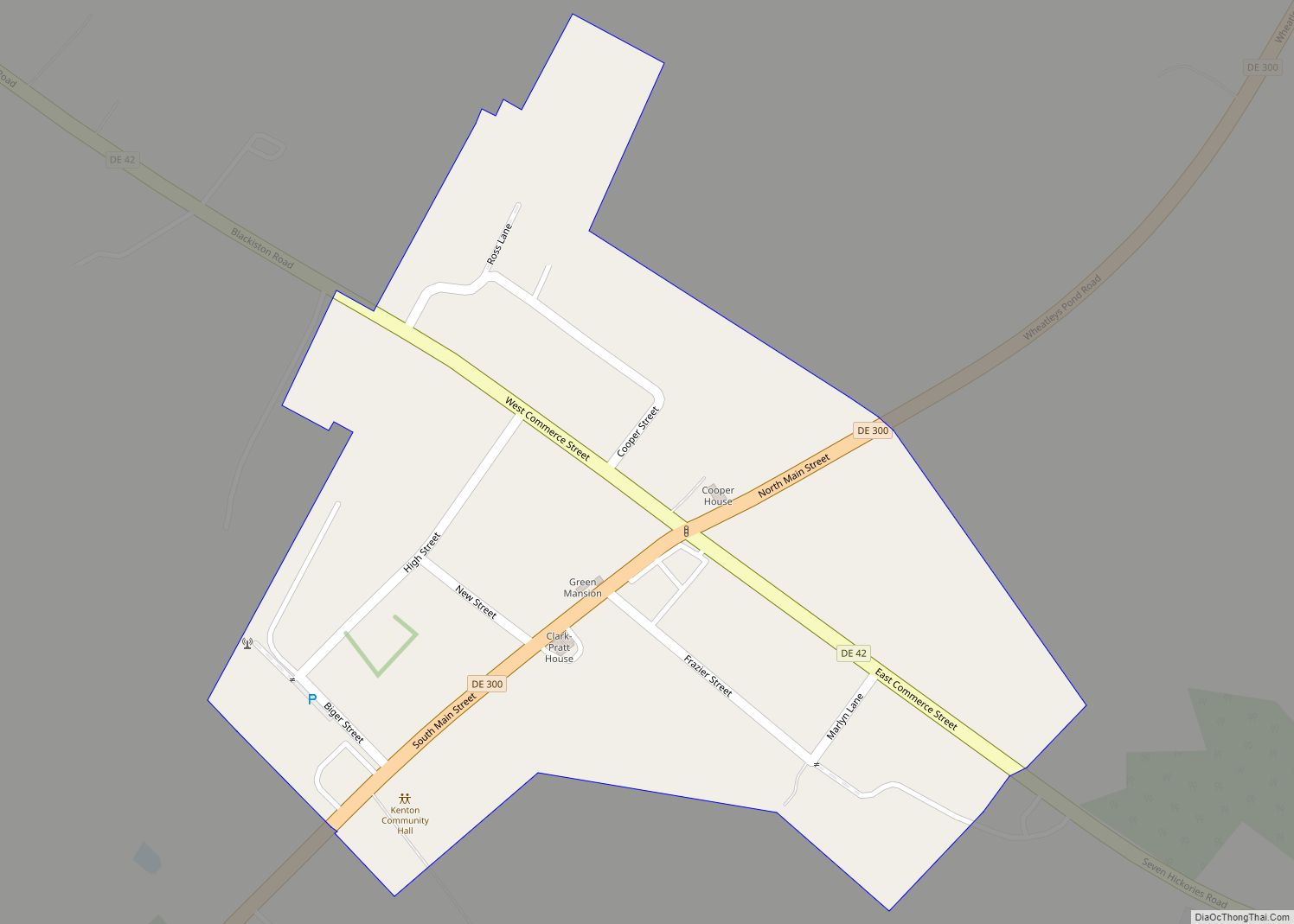
Hartly is a town in Kent County, Delaware, United States. It is part of the Dover, Delaware Metropolitan Statistical Area. The population was 73 in 2020, making it the least populous municipality in Delaware. Hartly town overview: Name: Hartly town LSAD Code: 43 LSAD Description: town (suffix) State: Delaware County: Kent County Elevation: 69 ft (21 m) … Read more

Map of Harrington city

Map of Harrington city, Delaware

Harrington is a city in Kent County, Delaware, United States. It is part of the Dover metropolitan statistical area. Harrington hosts the annual Delaware State Fair each July. The population was 3,774 in 2020. Harrington city overview: Name: Harrington city LSAD Code: 25 LSAD Description: city (suffix) State: Delaware County: Kent County Elevation: 59 ft (18 m) … Read more

Map of Greenwood town, Delaware

Map of Greenwood town, Delaware

Greenwood is a town in Sussex County, Delaware, United States. The population was 973 at the 2010 census, an increase of 16.2% over the previous decade. It is part of the Salisbury, Maryland-Delaware Metropolitan Statistical Area. Greenwood town overview: Name: Greenwood town LSAD Code: 43 LSAD Description: town (suffix) State: Delaware County: Sussex County Founded: … Read more

Map of Hockessin CDP

Map of Hockessin CDP

Hockessin (/ˈhoʊkɛsɪn/) is a census-designated place (CDP) in New Castle County, Delaware, United States. The population was 13,478 at the 2020 Census. Hockessin CDP overview: Name: Hockessin CDP LSAD Code: 57 LSAD Description: CDP (suffix) State: Delaware County: New Castle County Elevation: 259 ft (79 m) Total Area: 10.05 sq mi (26.02 km²) Land Area: 10.04 sq mi (26.01 km²) Water Area: 0.01 sq mi … Read more

Map of Highland Acres CDP

Map of Highland Acres CDP

Highland Acres is a census-designated place (CDP) in Kent County, Delaware, United States. It is part of the Dover, Delaware Metropolitan Statistical Area. The population was 3,459 at the 2010 census. Highland Acres CDP overview: Name: Highland Acres CDP LSAD Code: 57 LSAD Description: CDP (suffix) State: Delaware County: Kent County Elevation: 46 ft (14 m) Total … Read more

Map of Henlopen Acres town

Map of Henlopen Acres town

Henlopen Acres is a municipality north of Rehoboth Beach in Sussex County, Delaware, United States, and is the third smallest incorporated town in Delaware. According to 2010 census figures, the population of the town is 122, a 12.2% decrease from the 2000 census. It is part of the Salisbury, Maryland-Delaware Metropolitan Statistical Area. Henlopen Acres … Read more

Map of Kenton town

Map of Kenton town, Delaware

Kenton is a town in Kent County, Delaware, United States. It is part of the Dover metropolitan statistical area. The population was 215 in 2020. Kenton town overview: Name: Kenton town LSAD Code: 43 LSAD Description: town (suffix) State: Delaware County: Kent County Elevation: 59 ft (18 m) Total Area: 0.18 sq mi (0.46 km²) Land Area: 0.18 sq mi (0.46 km²) Water … Read more

Map of Kent Acres CDP

Map of Kent Acres CDP

Kent Acres is a census-designated place (CDP) in Kent County, Delaware, United States. It is part of the Dover, Delaware Metropolitan Statistical Area. The population was 1,890 at the 2010 census. Kent Acres CDP overview: Name: Kent Acres CDP LSAD Code: 57 LSAD Description: CDP (suffix) State: Delaware County: Kent County Elevation: 33 ft (10 m) Total … Read more

Map of Houston town, Delaware

Map of Houston town, Delaware

Houston (/ˈhaʊstən/ HOW-stən) is a town in Kent County, Delaware, United States. It is part of the Dover metropolitan area. The population was 381 in 2020. It was named for John W. Houston. Houston town overview: Name: Houston town LSAD Code: 43 LSAD Description: town (suffix) State: Delaware County: Kent County Elevation: 52 ft (16 m) Total … Read more

Map of Lewes city

Map of Lewes city

Lewes (/luː.əs/ LOO-iss) is an incorporated city on the Delaware Bay in eastern Sussex County, Delaware, United States. According to the 2020 census, its population was 3,303. Along with neighboring Rehoboth Beach, Lewes is one of the principal cities of Delaware’s rapidly growing Cape Region. The city lies within the Salisbury, Maryland–Delaware Metropolitan Statistical Area. … Read more

Map of Leipsic town

Map of Leipsic town, Delaware

Leipsic is a town in Kent County, Delaware, United States. It is part of the Dover, Delaware Metropolitan Statistical Area. The population was 178 in 2020. Leipsic town overview: Name: Leipsic town LSAD Code: 43 LSAD Description: town (suffix) State: Delaware County: Kent County Elevation: 7 ft (2 m) Total Area: 0.32 sq mi (0.84 km²) Land Area: 0.30 sq mi (0.77 km²) … Read more

Map of Laurel town

Map of Laurel town, Delaware

Laurel is a town in Sussex County, Delaware, United States. The population was 3,708 at the time of the 2010 census. Laurel is part of the Salisbury, Maryland-Delaware Metropolitan Statistical Area. It once hosted the Laurel Blue Hens of the Eastern Shore Baseball League. Laurel town overview: Name: Laurel town LSAD Code: 43 LSAD Description: … Read more