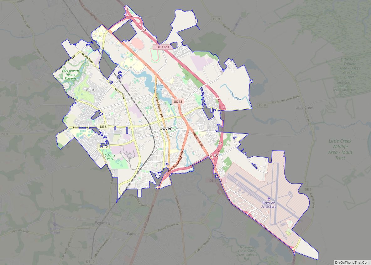
Harrington is a city in Kent County, Delaware, United States. It is part of the Dover metropolitan statistical area. Harrington hosts the annual Delaware State Fair each July. The population was 3,774 in 2020.
| Name: | Harrington city |
|---|---|
| LSAD Code: | 25 |
| LSAD Description: | city (suffix) |
| State: | Delaware |
| County: | Kent County |
| Elevation: | 59 ft (18 m) |
| Total Area: | 2.73 sq mi (7.07 km²) |
| Land Area: | 2.72 sq mi (7.05 km²) |
| Water Area: | 0.01 sq mi (0.02 km²) |
| Total Population: | 3,774 |
| Population Density: | 1,385.46/sq mi (534.95/km²) |
| ZIP code: | 19952 |
| Area code: | 302 |
| FIPS code: | 1033120 |
| GNISfeature ID: | 214060 |
| Website: | harrington.delaware.gov |
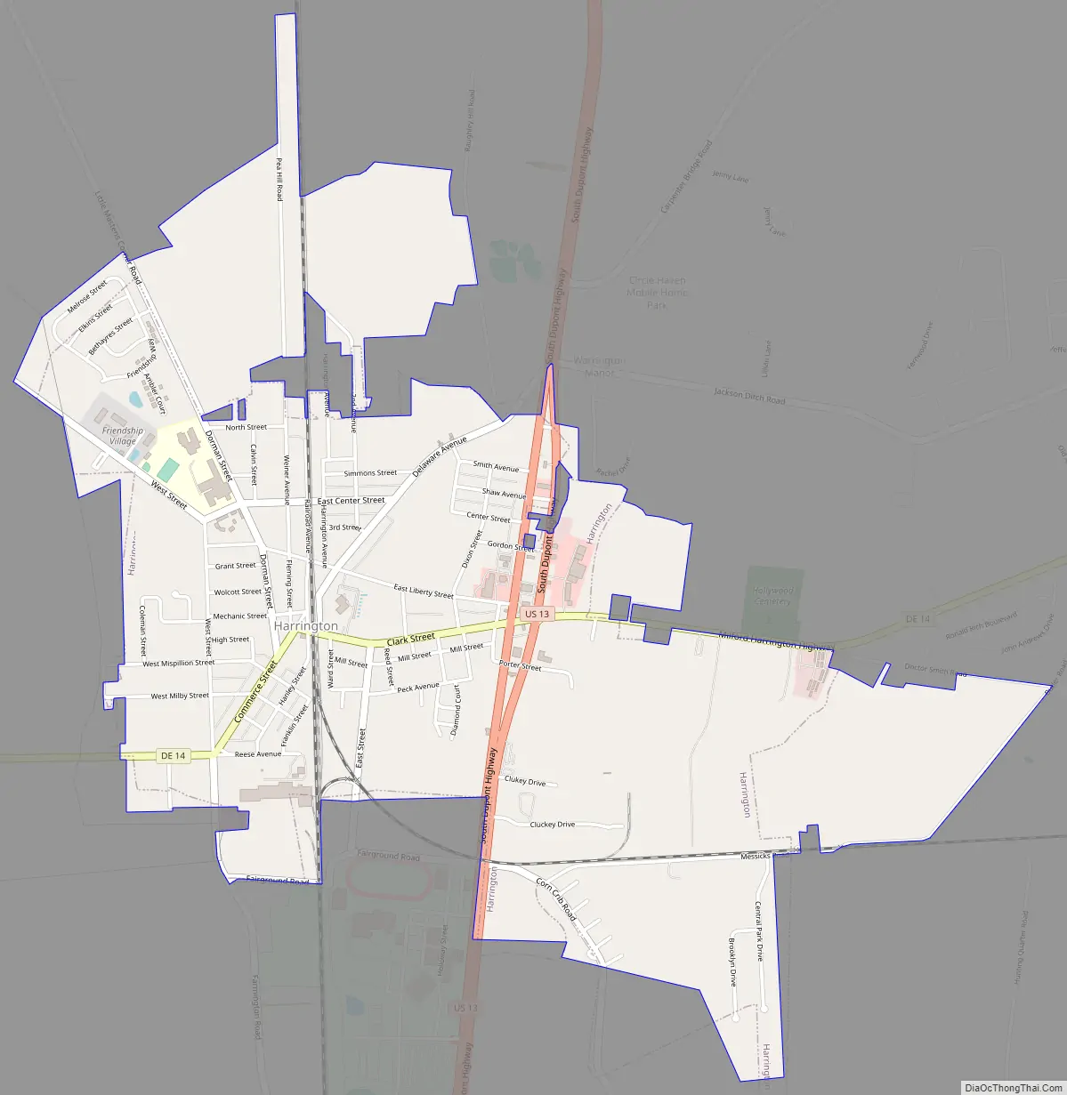
Online Interactive Map
Click on ![]() to view map in "full screen" mode.
to view map in "full screen" mode.
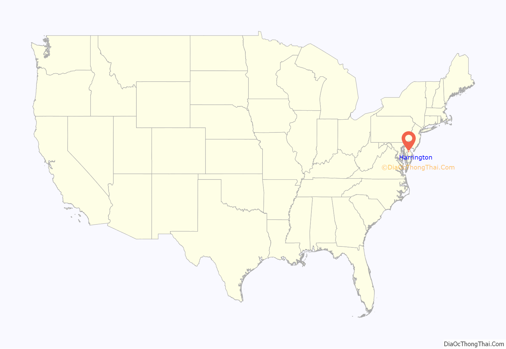
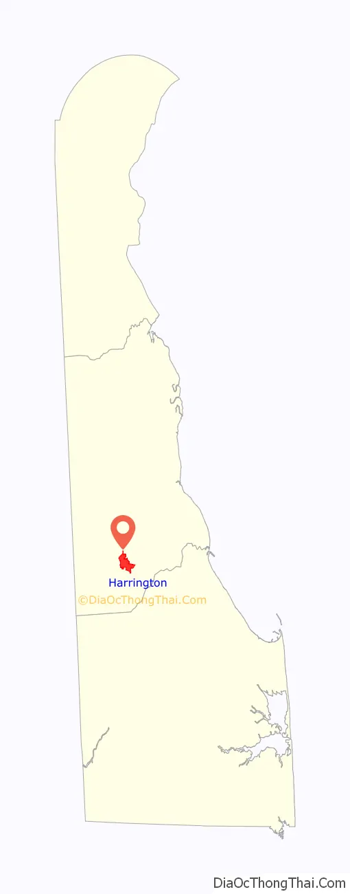
Harrington location map. Where is Harrington city?
History
Harrington was named for Hon. Samuel Maxwell Harrington, a former chancellor of the state. The town developed at a railroad junction along the Delaware Railroad and served as a rural trading center.
Harrington Road Map
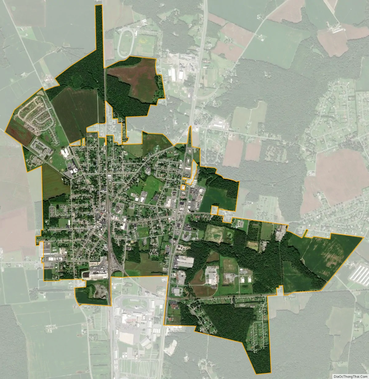
Harrington city Satellite Map
Geography
Harrington is located at 38°55′25″N 75°34′40″W / 38.92361°N 75.57778°W / 38.92361; -75.57778 (38.9237244, –75.5777033).
According to the United States Census Bureau, the city has a total area of 2.0 square miles (5.2 km), of which 2.0 square miles (5.2 km) is land and 0.04 square miles (0.10 km) (1.48%) is water.
See also
Map of Delaware State and its subdivision: Map of other states:- Alabama
- Alaska
- Arizona
- Arkansas
- California
- Colorado
- Connecticut
- Delaware
- District of Columbia
- Florida
- Georgia
- Hawaii
- Idaho
- Illinois
- Indiana
- Iowa
- Kansas
- Kentucky
- Louisiana
- Maine
- Maryland
- Massachusetts
- Michigan
- Minnesota
- Mississippi
- Missouri
- Montana
- Nebraska
- Nevada
- New Hampshire
- New Jersey
- New Mexico
- New York
- North Carolina
- North Dakota
- Ohio
- Oklahoma
- Oregon
- Pennsylvania
- Rhode Island
- South Carolina
- South Dakota
- Tennessee
- Texas
- Utah
- Vermont
- Virginia
- Washington
- West Virginia
- Wisconsin
- Wyoming