Hartly is a town in Kent County, Delaware, United States. It is part of the Dover, Delaware Metropolitan Statistical Area. The population was 73 in 2020, making it the least populous municipality in Delaware.
| Name: | Hartly town |
|---|---|
| LSAD Code: | 43 |
| LSAD Description: | town (suffix) |
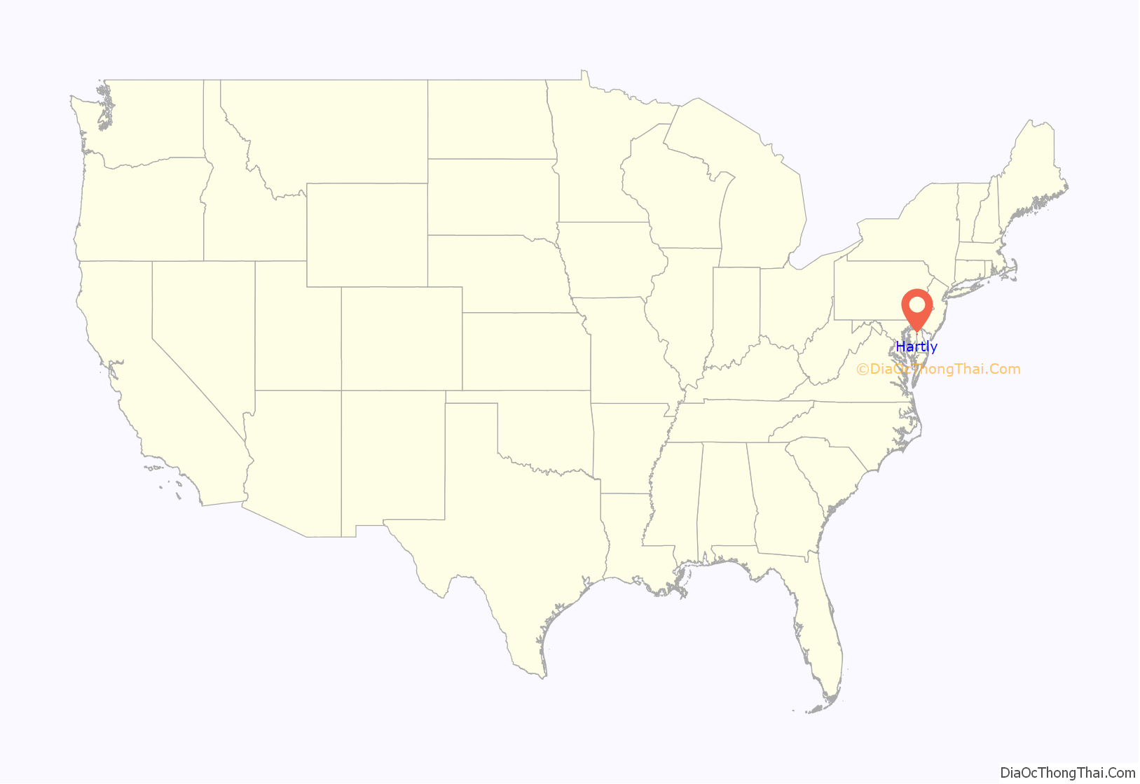
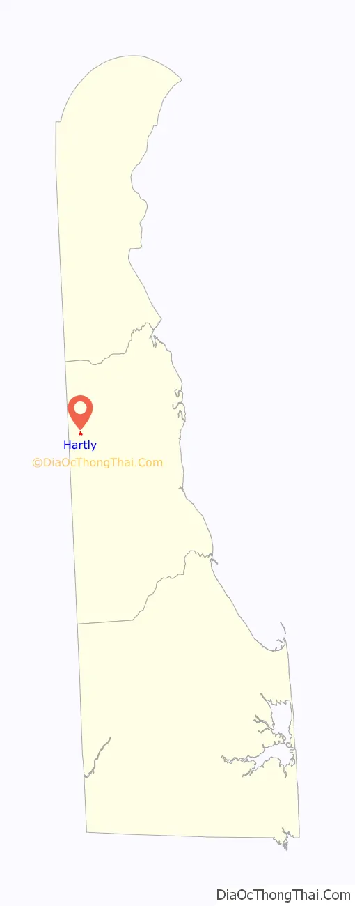
| State: | Delaware |
| County: | Kent County |
| Elevation: | 69 ft (21 m) |
| Total Area: | 0.06 sq mi (0.15 km²) |
| Land Area: | 0.06 sq mi (0.15 km²) |
| Water Area: | 0.00 sq mi (0.00 km²) |
| Total Population: | 73 |
| Population Density: | 1,280.70/sq mi (497.90/km²) |
| ZIP code: | 19953 |
| Area code: | 302 |
| FIPS code: | 1033250 |
| GNISfeature ID: | 214061 |
| Website: | hartly.delaware.gov |
Online Interactive Map
Click on ![]() to view map in "full screen" mode.
to view map in "full screen" mode.
Hartly location map. Where is Hartly town?
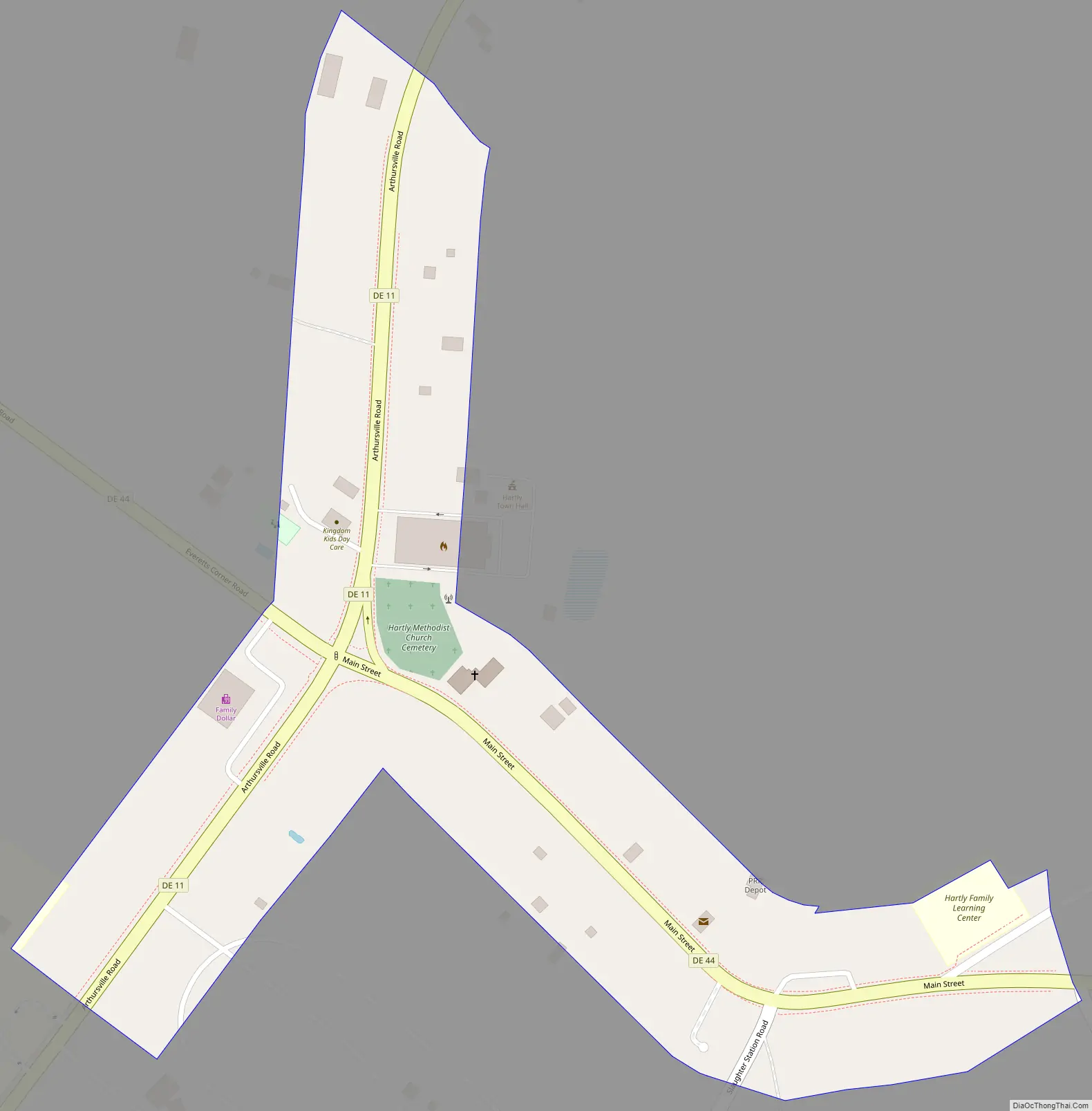
Hartly Road Map
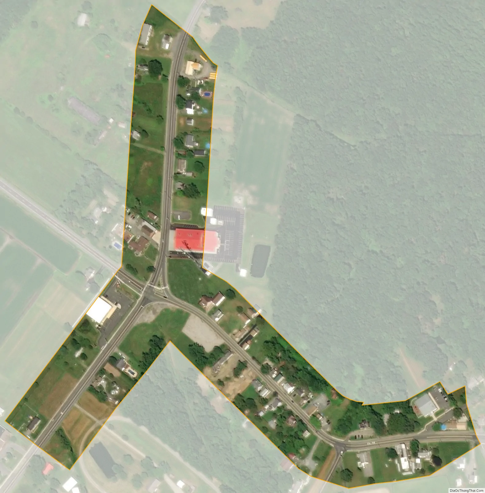
Hartly city Satellite Map
Geography
Hartly is located at 39°10′07″N 75°42′48″W / 39.1687230°N 75.7132641°W / 39.1687230; -75.7132641.
According to the United States Census Bureau, the town has a total area of 0.1 square miles (0.26 km), all land.
Hartly is located at the intersection of Delaware Route 11 and Delaware Route 44. The town is home to approximately 31 residences, the Hartly Volunteer Fire Company, a post office, Hartly Elementary School, two daycares, Hartly Feed and Hardware, and a Family Dollar store. There are several vacant and abandoned buildings along with empty lots in Hartly.
See also
Map of Delaware State and its subdivision: Map of other states:- Alabama
- Alaska
- Arizona
- Arkansas
- California
- Colorado
- Connecticut
- Delaware
- District of Columbia
- Florida
- Georgia
- Hawaii
- Idaho
- Illinois
- Indiana
- Iowa
- Kansas
- Kentucky
- Louisiana
- Maine
- Maryland
- Massachusetts
- Michigan
- Minnesota
- Mississippi
- Missouri
- Montana
- Nebraska
- Nevada
- New Hampshire
- New Jersey
- New Mexico
- New York
- North Carolina
- North Dakota
- Ohio
- Oklahoma
- Oregon
- Pennsylvania
- Rhode Island
- South Carolina
- South Dakota
- Tennessee
- Texas
- Utah
- Vermont
- Virginia
- Washington
- West Virginia
- Wisconsin
- Wyoming