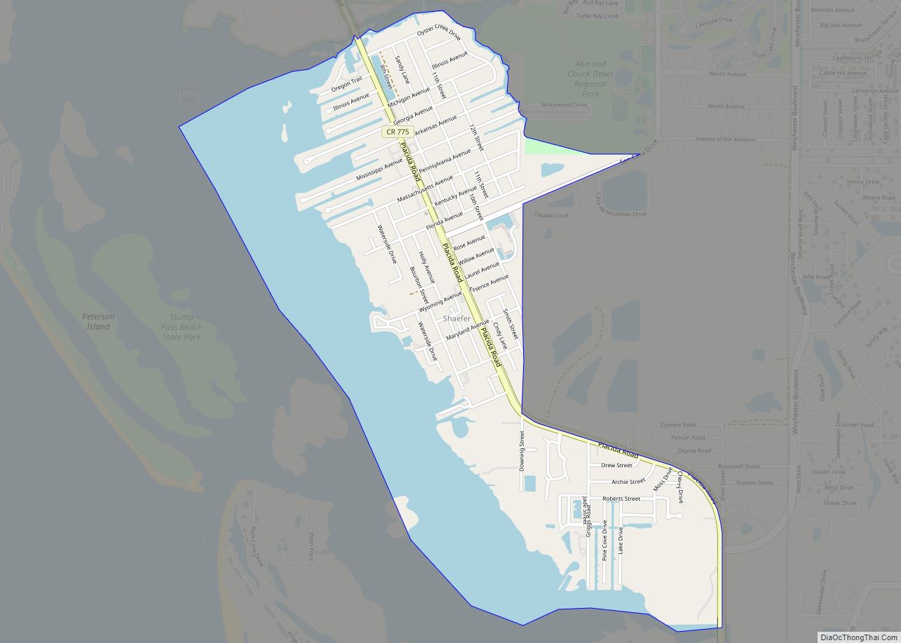
Grove City is an unincorporated community and census-designated place (CDP) in Charlotte County, Florida, United States. The population was 2,174 at the 2020 census. It is part of the Sarasota-Bradenton-Punta Gorda Combined Statistical Area. Grove City CDP overview: Name: Grove City CDP LSAD Code: 57 LSAD Description: CDP (suffix) State: Florida County: Charlotte County Elevation: ... Read more
Florida Cities and Places
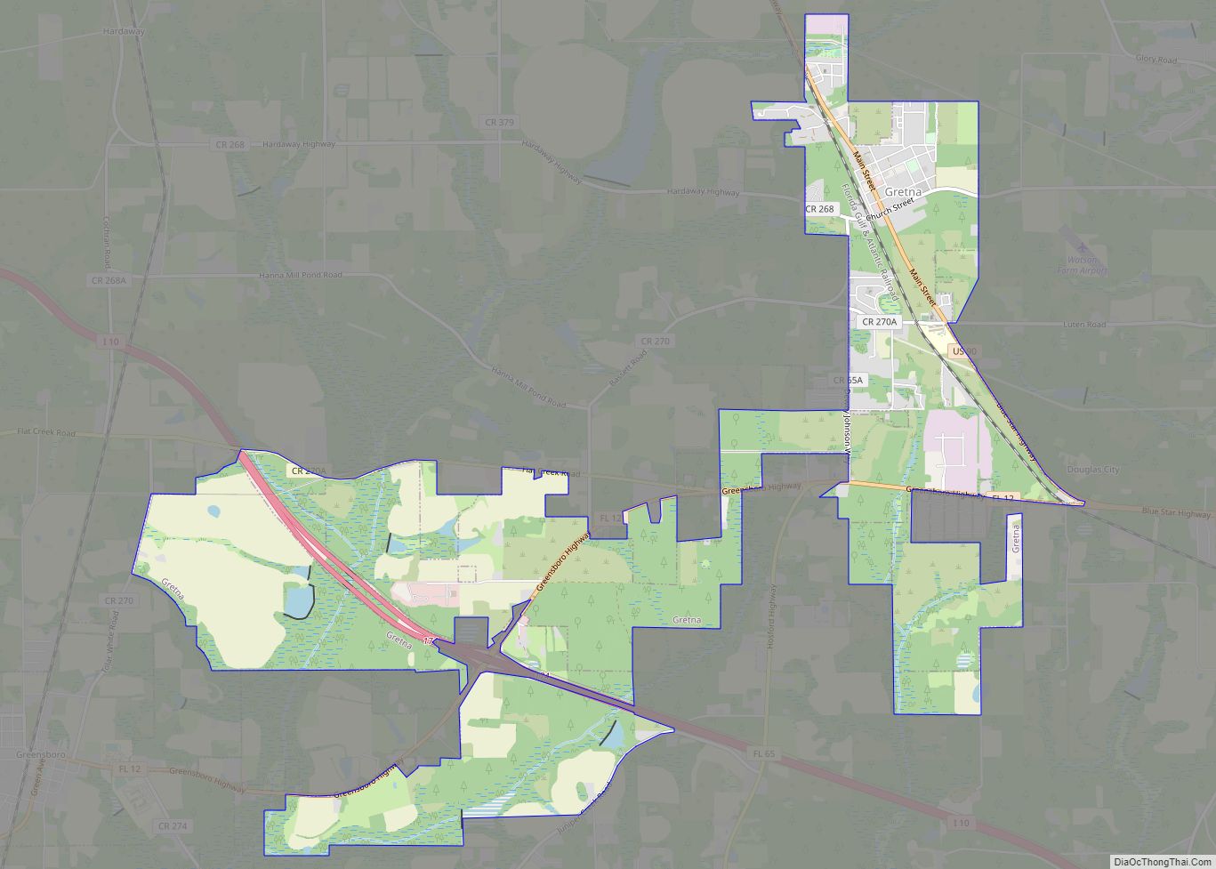
Gretna is a city in Gadsden County, Florida, United States. The population was 1,460 as of the 2010 census, down from 1,709 at the 2000 census. It is on U.S. 90 approximately 8 miles (13 km) south of the Florida-Georgia border. Gretna is part of the Tallahassee, Florida Metropolitan Statistical Area. Gretna city overview: Name: Gretna ... Read more
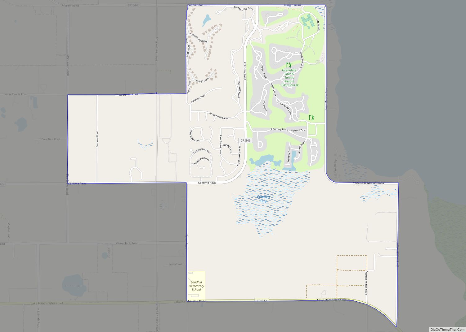
Grenelefe is an unincorporated community and census-designated place located in Polk County, Florida, United States. Its population was 2,495 as of the 2020 census. Grenelefe CDP overview: Name: Grenelefe CDP LSAD Code: 57 LSAD Description: CDP (suffix) State: Florida County: Polk County Elevation: 79 ft (24 m) Total Area: 4.33 sq mi (11.22 km²) Land Area: 4.25 sq mi (11.01 km²) Water Area: ... Read more
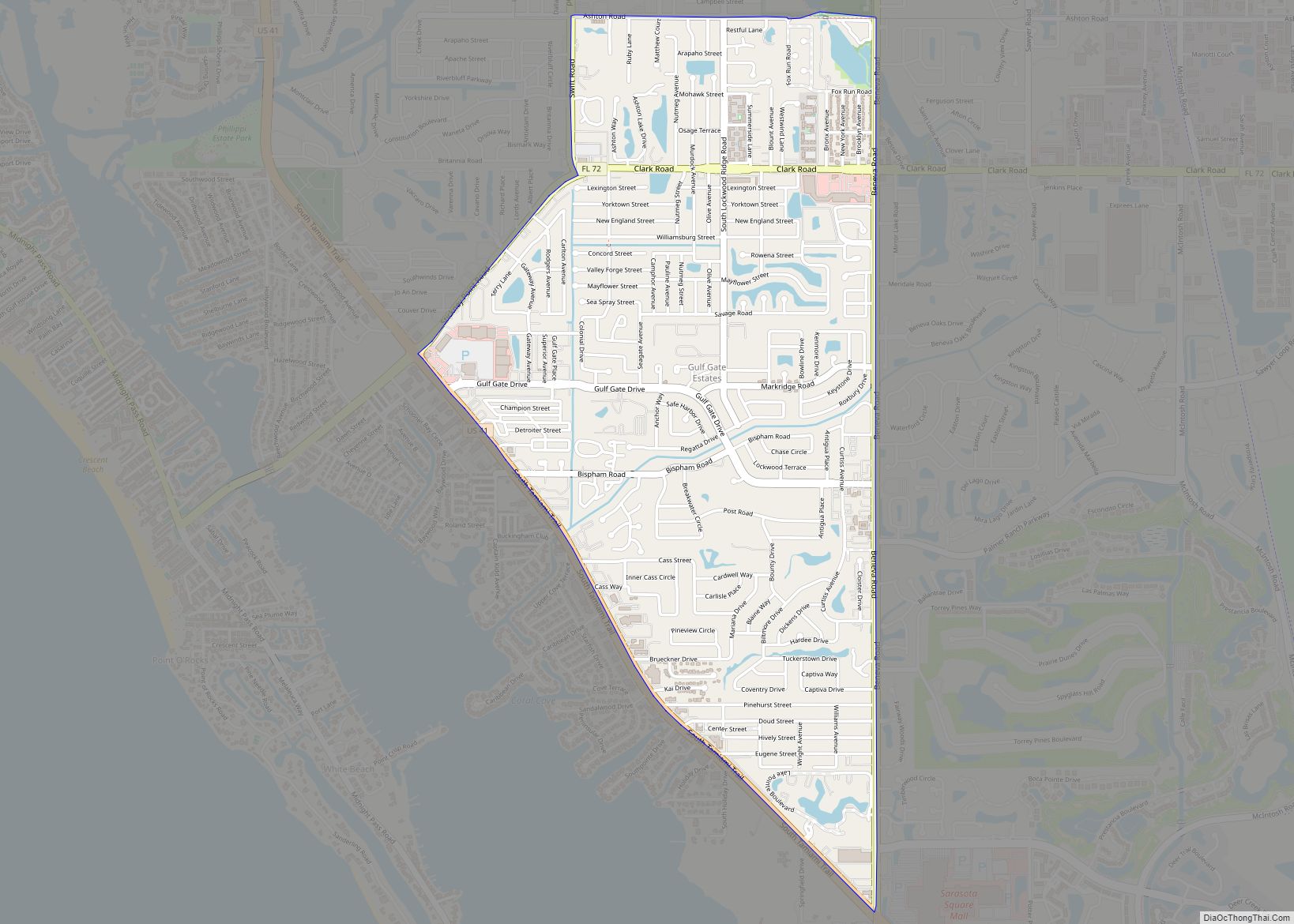
Gulf Gate Estates CDP overview: Name: Gulf Gate Estates CDP LSAD Code: 57 LSAD Description: CDP (suffix) State: Florida County: Sarasota County FIPS code: 1228050 Online Interactive Map Gulf Gate Estates online map. Source: Basemap layers from Google Map, Open Street Map (OSM), Arcgisonline, Wmflabs. Boundary Data from Database of Global Administrative Areas. Gulf Gate ... Read more
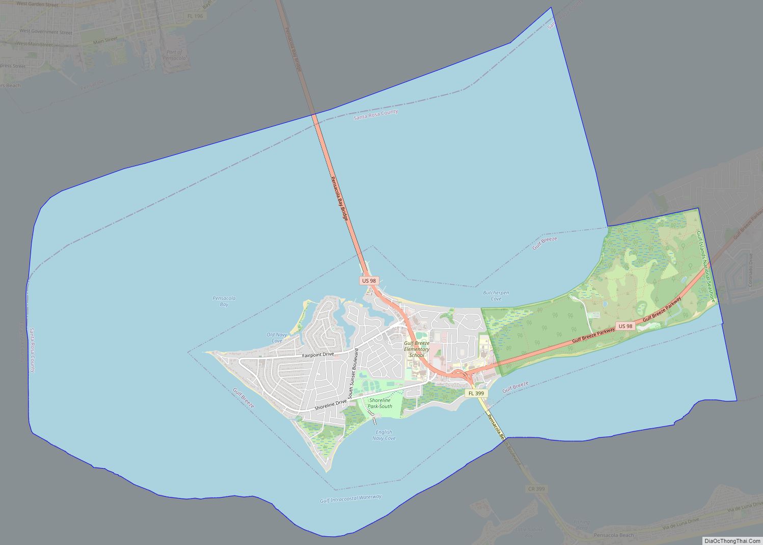
Gulf Breeze is a city in Santa Rosa County, Florida. It is a suburb of Pensacola, and is in the Pensacola Metropolitan Area. The population estimate was 6,900 in 2020. Gulf Breeze is located just north of Pensacola Beach, and south of Pensacola. Gulf Breeze is on the Fairpoint Peninsula, and is bordered by Navarre ... Read more
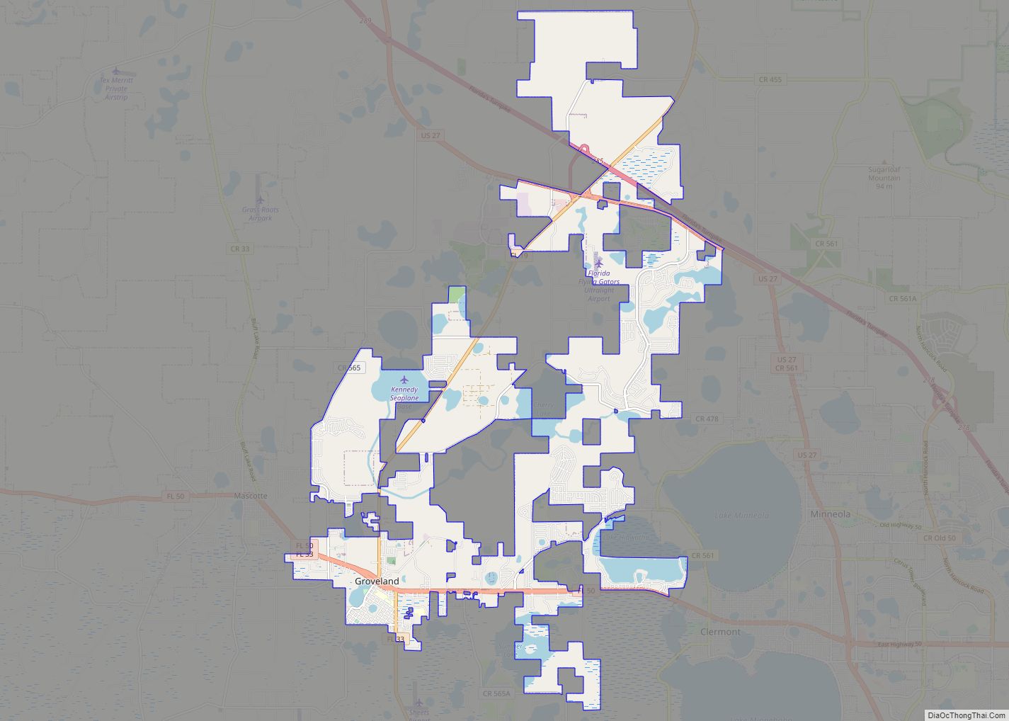
Groveland is a city in Lake County, Florida, United States. The population was 18,505 at the 2020 census. It is located at the intersection of State Road 19 and State Road 33/50. Groveland is part of the Orlando–Kissimmee–Sanford Metropolitan Statistical Area. Groveland city overview: Name: Groveland city LSAD Code: 25 LSAD Description: city (suffix) State: ... Read more
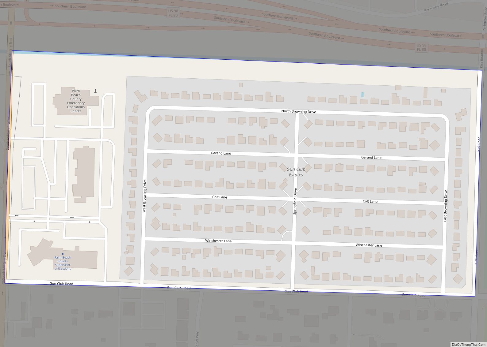
Gun Club Estates is a census-designated place (CDP) in Palm Beach County, Florida, United States. The population was 816 at the 2020 census. The CDP is located in an unincorporated area near the southwest corner of the Palm Beach International Airport (PBI) and is bounded by West Palm Beach Canal on the north, Kirk Road ... Read more
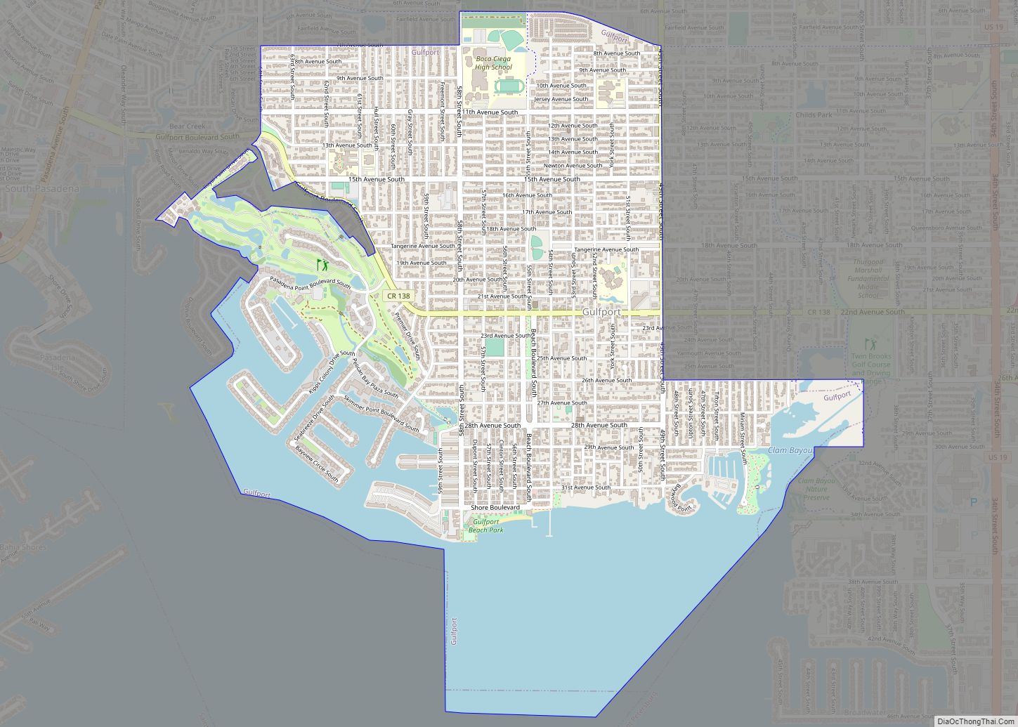
Gulfport is a city in Pinellas County, Florida, United States, bordering St. Petersburg, South Pasadena, and Boca Ciega Bay. The population of Gulfport was 12,029 at the 2010 census. Gulfport is part of the Tampa–St. Petersburg–Clearwater metropolitan statistical area. Gulfport city overview: Name: Gulfport city LSAD Code: 25 LSAD Description: city (suffix) State: Florida County: ... Read more
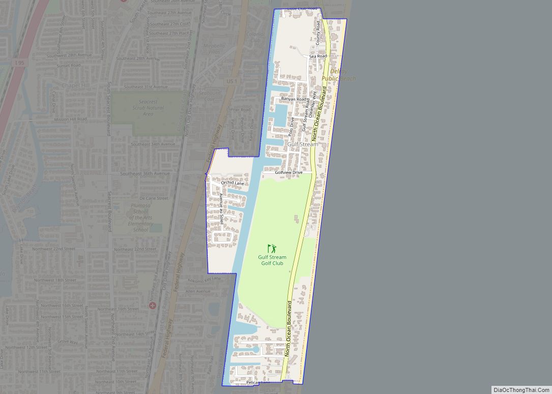
Gulf Stream is a town in Palm Beach County, Florida, United States. The population was 786 at the 2010 census. Gulf Stream ranked as the eleventh highest-income place in the United States. As of 2018, the population recorded by the U.S. Census Bureau was 880. Gulf Stream town overview: Name: Gulf Stream town LSAD Code: ... Read more
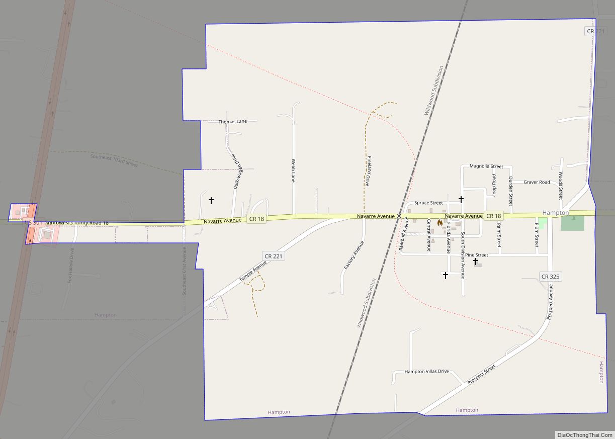
Hampton is a city in Bradford County, Florida, United States. The population was 500 at the 2010 census. Hampton city overview: Name: Hampton city LSAD Code: 25 LSAD Description: city (suffix) State: Florida County: Bradford County Incorporated: 1925 Elevation: 151 ft (46 m) Total Area: 1.05 sq mi (2.73 km²) Land Area: 1.05 sq mi (2.73 km²) Water Area: 0.00 sq mi (0.00 km²) Total Population: ... Read more
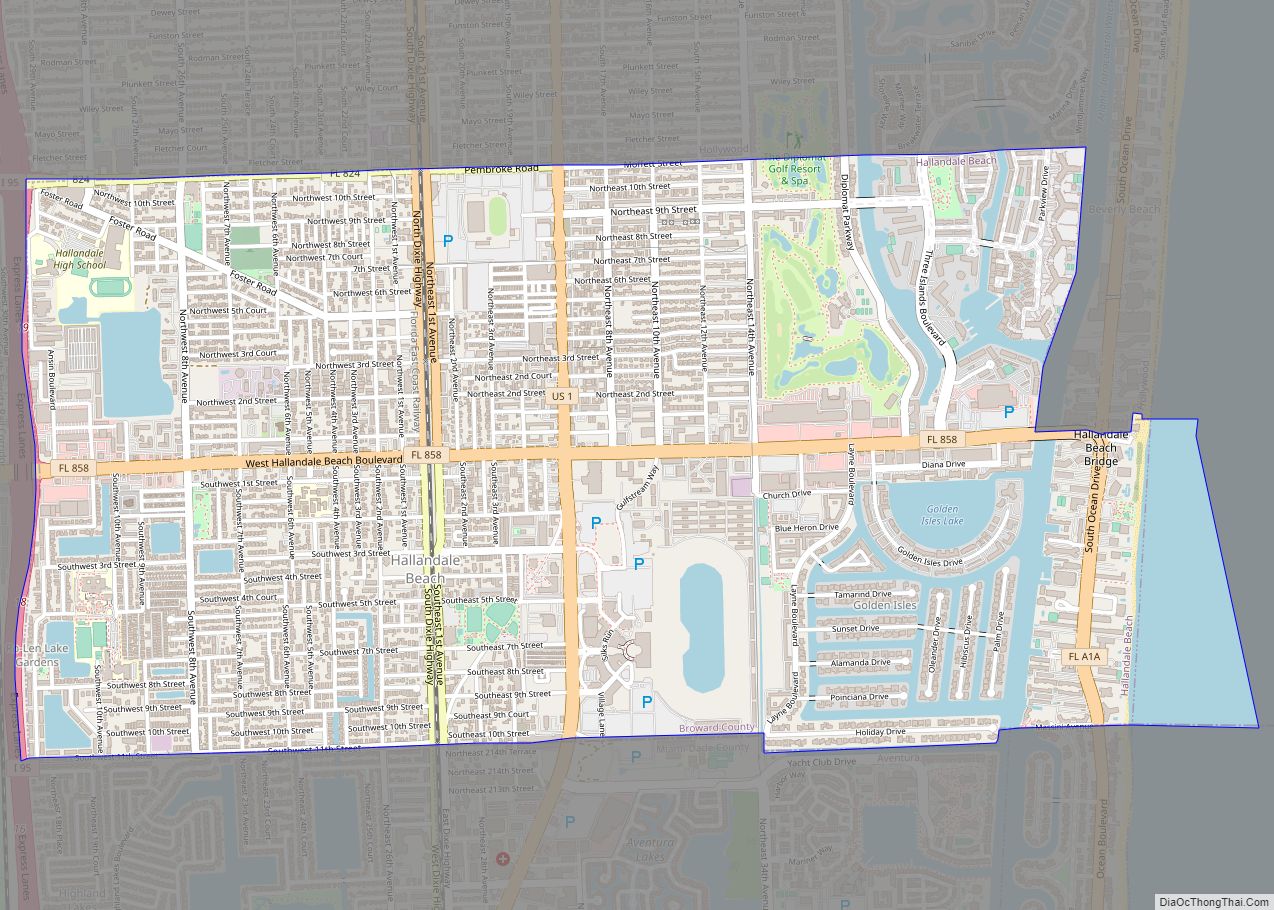
Hallandale Beach (formerly known simply as Hallandale) is a city in southern Broward County, Florida, United States. The city is named after Luther Halland, the son of a Swedish worker for Henry Flagler’s Florida East Coast Railroad. As of the 2010 census, the population was 37,113. The city is known as the home of Gulfstream ... Read more
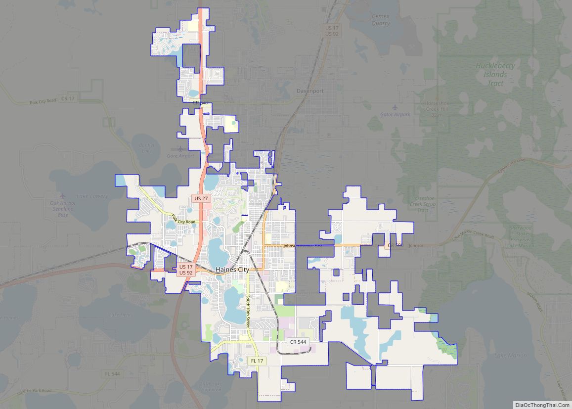
Haines City is a city in Polk County, Florida, United States. Its population was 13,174 at the 2000 census and 20,535 at the 2010 census. It is the third most populous city in Polk County. It is part of the Lakeland–Winter Haven Metropolitan Statistical Area, which, in turn, is considered part of the Tampa Bay ... Read more
