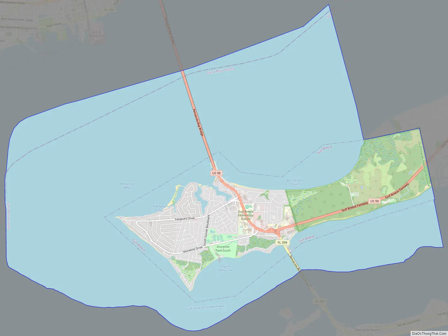
Gulf Breeze is a city in Santa Rosa County, Florida. It is a suburb of Pensacola, and is in the Pensacola Metropolitan Area. The population estimate was 6,900 in 2020. Gulf Breeze is located just north of Pensacola Beach, and south of Pensacola. Gulf Breeze is on the Fairpoint Peninsula, and is bordered by Navarre to the east.
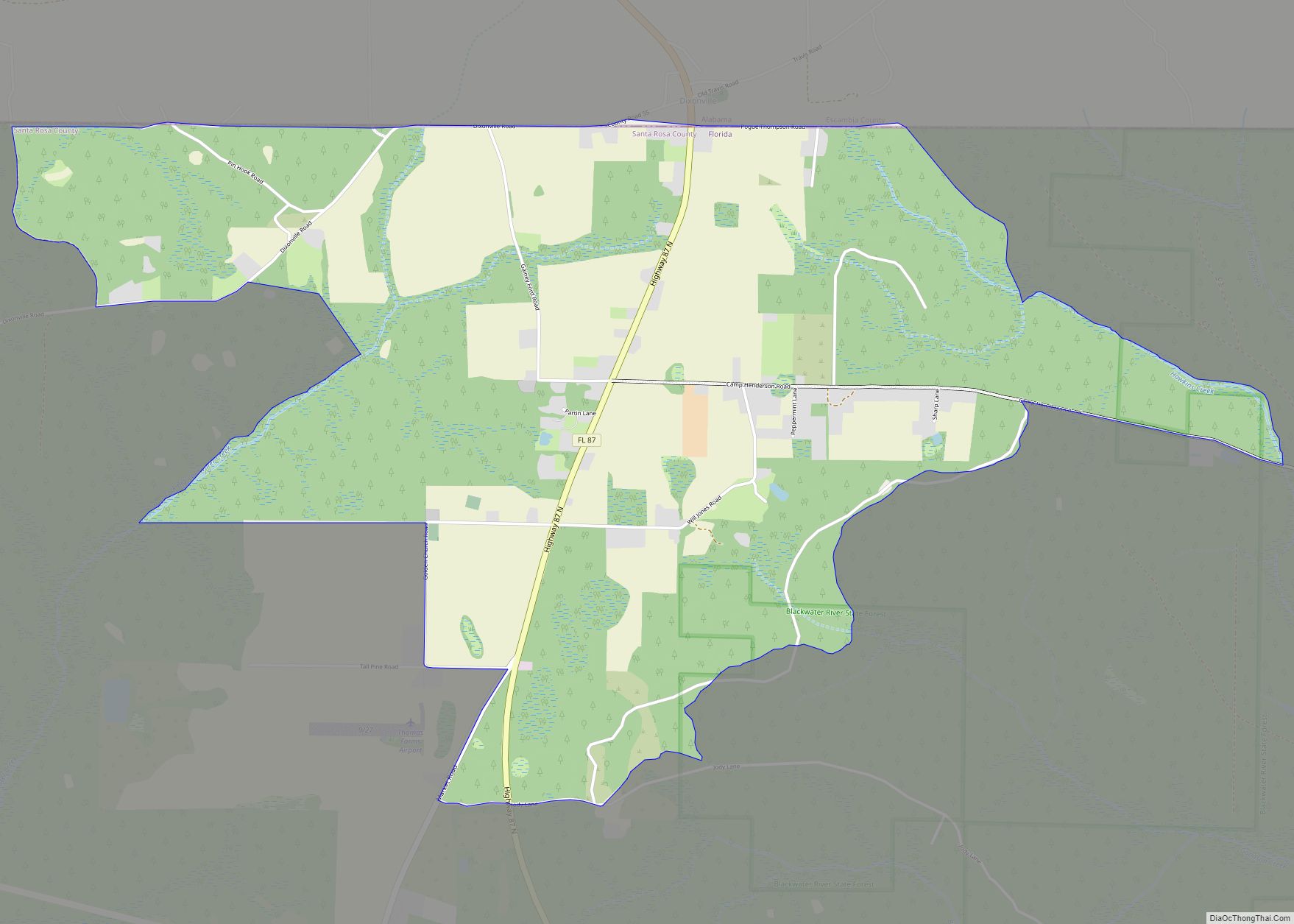
Gulf Breeze provides utility services to South Santa Rosa County and Pensacola Beach over 33 square miles. The surrounding unincorporated area is known as Greater Gulf Breeze.
| Name: | Gulf Breeze city |
|---|---|
| LSAD Code: | 25 |
| LSAD Description: | city (suffix) |
| State: | Florida |
| County: | Santa Rosa County |
| Elevation: | 16 ft (5 m) |
| Land Area: | 4.68 sq mi (12.12 km²) |
| Water Area: | 17.46 sq mi (45.22 km²) |
| Population Density: | 1,346.29/sq mi (519.84/km²) |
| Area code: | 850 |
| FIPS code: | 1228000 |
| GNISfeature ID: | 283485 |
| Website: | http://www.cityofgulfbreeze.com |
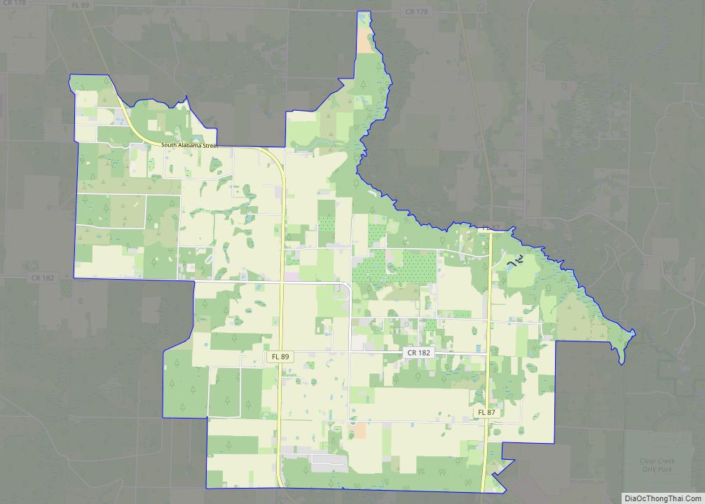
Online Interactive Map
Click on ![]() to view map in "full screen" mode.
to view map in "full screen" mode.
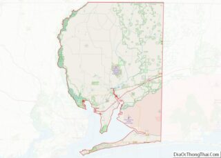
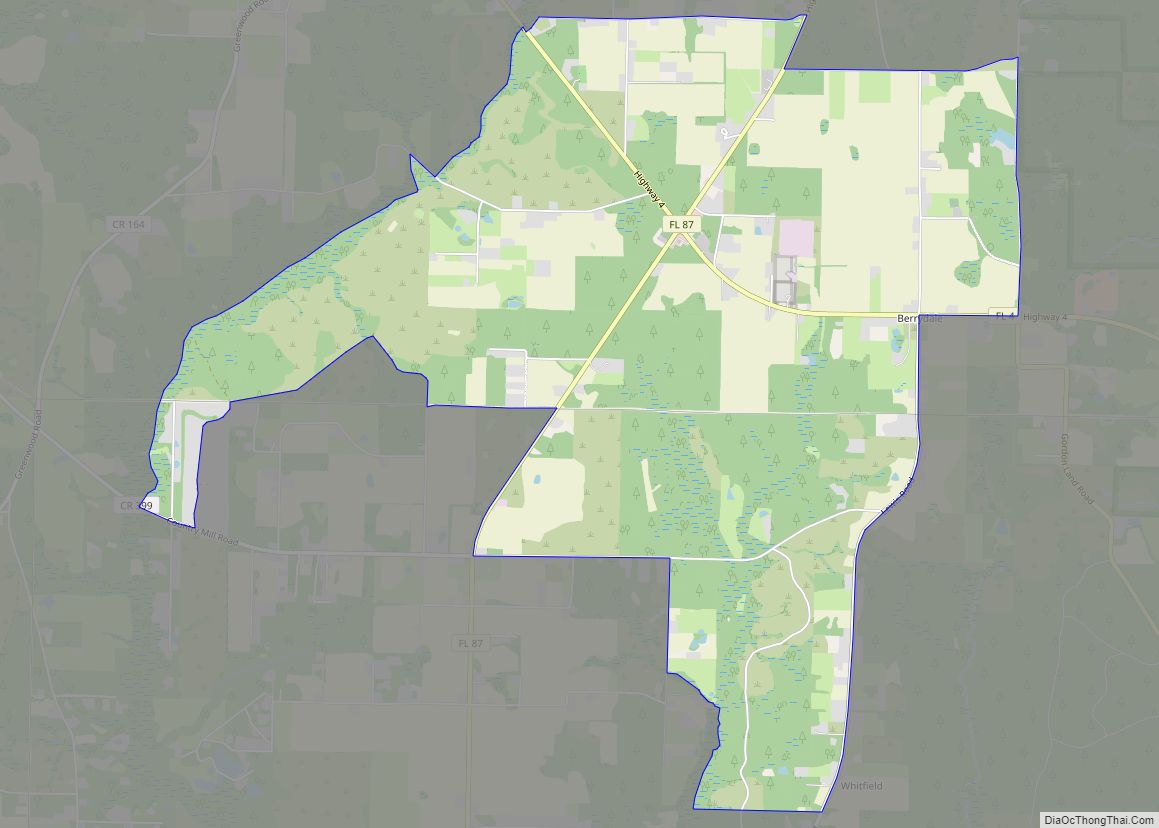
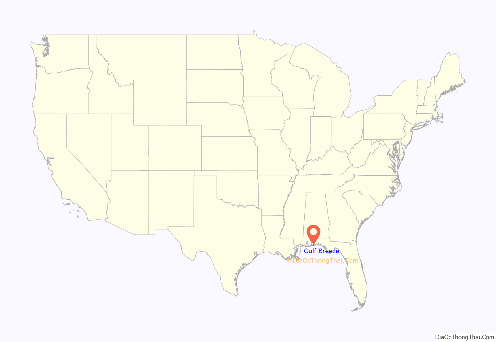
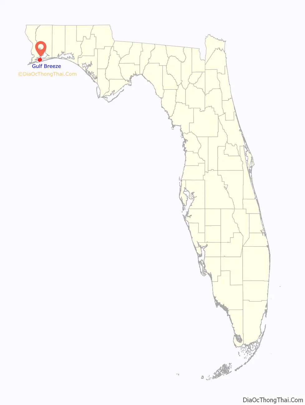
Gulf Breeze location map. Where is Gulf Breeze city?
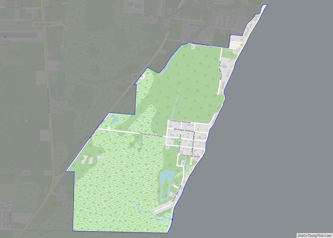
Gulf Breeze Road Map
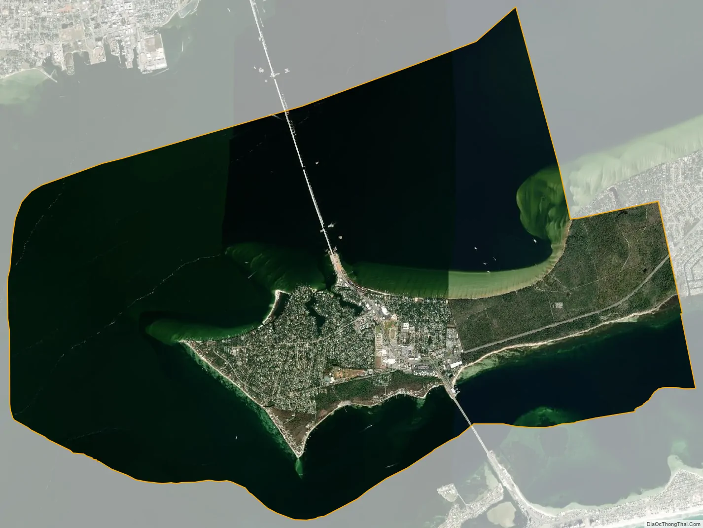
Gulf Breeze city Satellite Map
Geography
The city has a total area of 23.56 square miles (61.0 km), of which 4.68 square miles (12.1 km) is land and 18.88 square miles (48.9 km) is water.
Growth of the city itself is geographically restricted, surrounded by major water bodies on three sides; the eastern portion of Gulf Breeze is occupied by the Naval Live Oaks Reservation. As a result, new growth takes place east of the city limits along U.S. Highway 98.
Climate
See also
Map of Florida State and its subdivision:- Alachua
- Baker
- Bay
- Bradford
- Brevard
- Broward
- Calhoun
- Charlotte
- Citrus
- Clay
- Collier
- Columbia
- Desoto
- Dixie
- Duval
- Escambia
- Flagler
- Franklin
- Gadsden
- Gilchrist
- Glades
- Gulf
- Hamilton
- Hardee
- Hendry
- Hernando
- Highlands
- Hillsborough
- Holmes
- Indian River
- Jackson
- Jefferson
- Lafayette
- Lake
- Lee
- Leon
- Levy
- Liberty
- Madison
- Manatee
- Marion
- Martin
- Miami-Dade
- Monroe
- Nassau
- Okaloosa
- Okeechobee
- Orange
- Osceola
- Palm Beach
- Pasco
- Pinellas
- Polk
- Putnam
- Saint Johns
- Saint Lucie
- Santa Rosa
- Sarasota
- Seminole
- Sumter
- Suwannee
- Taylor
- Union
- Volusia
- Wakulla
- Walton
- Washington
- Alabama
- Alaska
- Arizona
- Arkansas
- California
- Colorado
- Connecticut
- Delaware
- District of Columbia
- Florida
- Georgia
- Hawaii
- Idaho
- Illinois
- Indiana
- Iowa
- Kansas
- Kentucky
- Louisiana
- Maine
- Maryland
- Massachusetts
- Michigan
- Minnesota
- Mississippi
- Missouri
- Montana
- Nebraska
- Nevada
- New Hampshire
- New Jersey
- New Mexico
- New York
- North Carolina
- North Dakota
- Ohio
- Oklahoma
- Oregon
- Pennsylvania
- Rhode Island
- South Carolina
- South Dakota
- Tennessee
- Texas
- Utah
- Vermont
- Virginia
- Washington
- West Virginia
- Wisconsin
- Wyoming