Map of McGregor CDP

Map of McGregor CDP, Florida

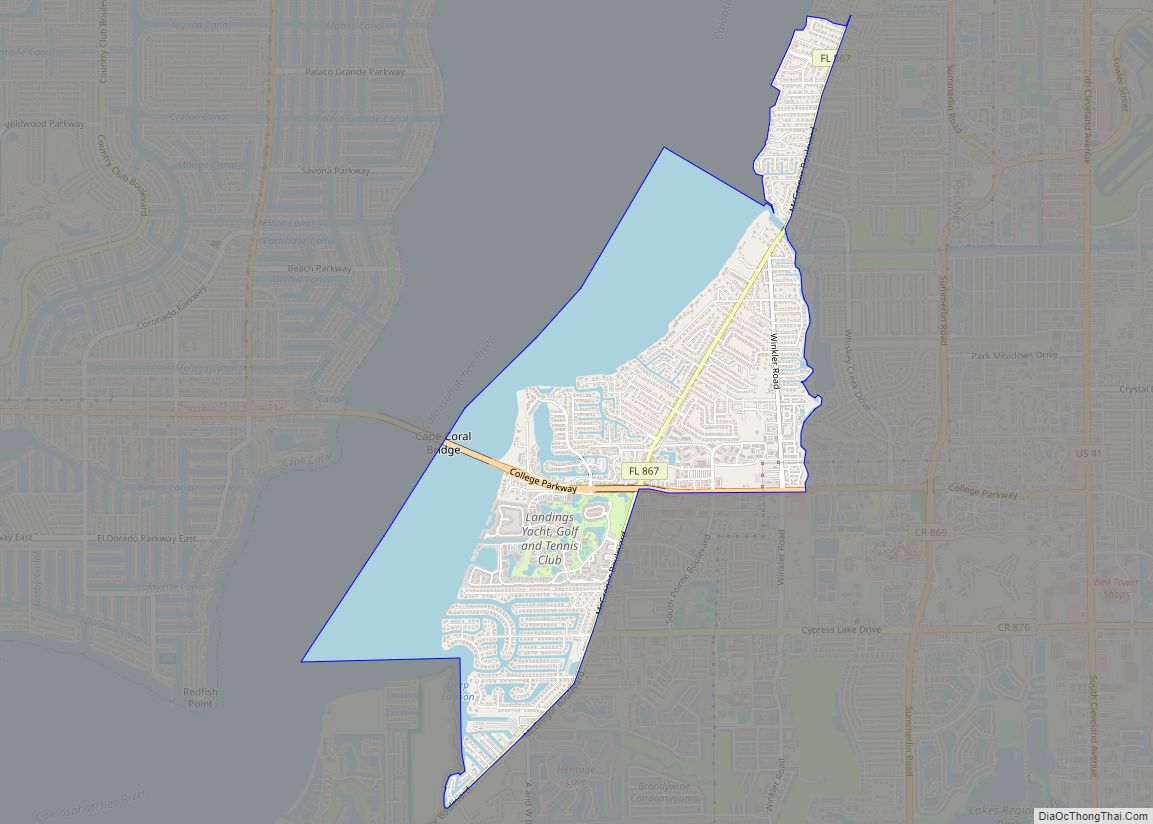
McGregor is a census-designated place (CDP) in Lee County, Florida, United States. The population was 7,976 at the 2020 census. It is part of the Cape Coral-Fort Myers, Florida Metropolitan Statistical Area. A strong EF2 tornado struck the town on January 16, 2022, causing major damage. McGregor CDP overview: Name: McGregor CDP LSAD Code: 57 … Read more

Map of Mayo town

Map of Mayo town, Florida

Mayo, Florida is a town and the only municipality in Lafayette County, Florida, United States. The population was 1,237 at the 2010 census. It is the county seat of Lafayette County. In August 2018, Mayo temporarily changed its name to Miracle Whip as an advertising stunt with Kraft’s Miracle Whip brand. Mayo town overview: Name: … Read more

Map of Matlacha CDP

Map of Matlacha CDP

Matlacha ( /ˈmætləʃeɪ/ (listen) MAT-lə-shay “MAT-la-shay”) is a census-designated place (CDP) in Lee County, Florida, United States. As of the 2020 census, the CDP had a population of 598. It is part of the Cape Coral-Fort Myers, Florida Metropolitan Statistical Area. Matlacha is an “Old Florida” fishing village, home to many brightly colored art galleries, … Read more

Map of Meadow Woods CDP

Map of Meadow Woods CDP

Meadow Woods is a census-designated place and an unincorporated suburban development area located in southern Orange County, Florida, United States, between Orlando International Airport and Kissimmee. The population was 25,558 at the 2010 census, up from 11,286 in 2000. It is part of the Orlando–Kissimmee–Sanford, Florida Metropolitan Statistical Area. Meadow Woods CDP overview: Name: Meadow … Read more

Map of Meadow Oaks CDP

Map of Meadow Oaks CDP

Meadow Oaks is an unincorporated community and census-designated place (CDP) in Pasco County, Florida, United States. Located north of Florida State Road 52 inland from Hudson, it is within the Tampa–St. Petersburg–Clearwater Metropolitan Statistical Area (MSA) and the Southwest Florida Water Management District. The community was first planned in 1983 to include homes and eponymous … Read more

Map of McIntosh town, Florida

Map of McIntosh town, Florida

McIntosh is a town in Marion County, Florida, United States. As of the 2020 census, the town population was 463. It is part of the Ocala Metropolitan Statistical Area. McIntosh town overview: Name: McIntosh town LSAD Code: 43 LSAD Description: town (suffix) State: Florida County: Marion County Elevation: 108 ft (33 m) Total Area: 0.71 sq mi (1.84 km²) Land … Read more

Map of Melbourne Beach town

Map of Melbourne Beach town

Melbourne Beach is a town in Brevard County, Florida. The population was 3,101 at the 2010 United States Census. It is part of the Palm Bay–Melbourne–Titusville Metropolitan Statistical Area. Melbourne Beach town overview: Name: Melbourne Beach town LSAD Code: 43 LSAD Description: town (suffix) State: Florida County: Brevard County Elevation: 10 ft (3 m) Total Area: 1.40 sq mi … Read more

Map of Medulla CDP

Map of Medulla CDP

Medulla is an unincorporated community and census-designated place (CDP) in western Polk County, Florida, United States. It is part of the Lakeland–Winter Haven Metropolitan Statistical Area. Medulla is an affluent residential community located south of the Lakeland city limits, and north of the Mulberry city limits. Medulla neighbors Lakeland Highlands, and together the two communities … Read more

Map of Medley town

Map of Medley town

Medley is a town in Miami-Dade County, Florida, United States. The community was named after its founder, Sylvester Medley. The town was incorporated in 1949, but Sylvester settled the current town in 1905 and farmed there until his death in 1950. Located in the western part of the county, its primary tax base is industrial … Read more

Map of Memphis CDP, Florida

Map of Memphis CDP, Florida

Memphis is an unincorporated community and census-designated place (CDP) in Manatee County, Florida, United States. The population was 9,024 as of the 2020 census, up from 7,848 in 2010. It is part of the Bradenton–Sarasota–Venice Metropolitan Statistical Area. Memphis CDP overview: Name: Memphis CDP LSAD Code: 57 LSAD Description: CDP (suffix) State: Florida County: Manatee … Read more

Map of Melbourne city, Florida

Map of Melbourne city, Florida

Melbourne /ˈmɛlbərn/ is a city in Brevard County, Florida, United States. It is located 72 mi (116 km) southeast of Orlando. As of the 2020 Decennial Census, there was a population of 84,678. The municipality is the second-largest in the county by both size and population. Melbourne is a principal city of the Palm Bay – Melbourne … Read more

Map of Melbourne Village town

Map of Melbourne Village town

Melbourne Village is a town in Brevard County, Florida. The population was 662 at the 2010 United States Census. It is part of the Palm Bay–Melbourne–Titusville Metropolitan Statistical Area, and is the smallest incorporated municipality (by population) in Brevard County. Melbourne Village town overview: Name: Melbourne Village town LSAD Code: 43 LSAD Description: town (suffix) … Read more