Melbourne Beach is a town in Brevard County, Florida. The population was 3,101 at the 2010 United States Census. It is part of the Palm Bay–Melbourne–Titusville Metropolitan Statistical Area.
| Name: | Melbourne Beach town |
|---|---|
| LSAD Code: | 43 |
| LSAD Description: | town (suffix) |
| State: | Florida |
| County: | Brevard County |
| Elevation: | 10 ft (3 m) |
| Total Area: | 1.40 sq mi (3.63 km²) |
| Land Area: | 0.99 sq mi (2.56 km²) |
| Water Area: | 0.41 sq mi (1.07 km²) |
| Total Population: | 3,231 |
| Population Density: | 3,270.24/sq mi (1,263.18/km²) |
| ZIP code: | 32951 |
| Area code: | 321 |
| FIPS code: | 1244000 |
| GNISfeature ID: | 0286684 |
| Website: | www.MelbourneBeachFL.org |
Online Interactive Map
Click on ![]() to view map in "full screen" mode.
to view map in "full screen" mode.
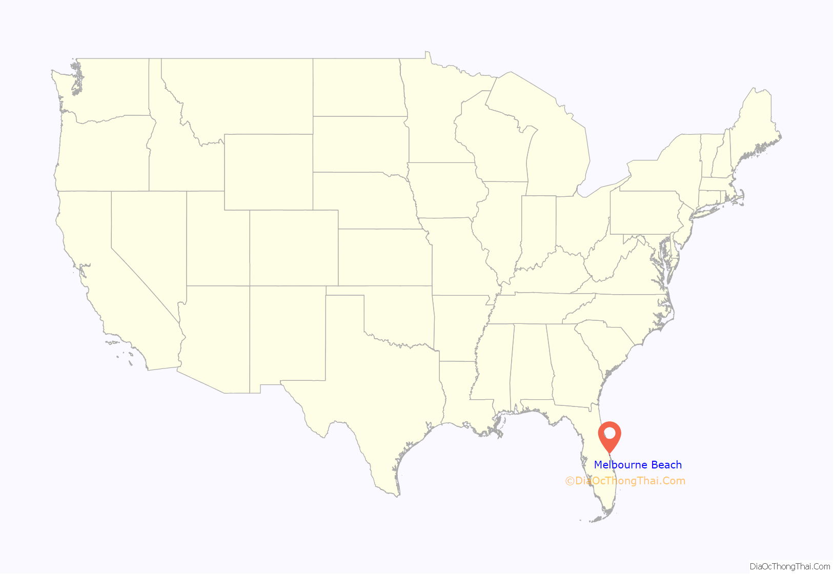
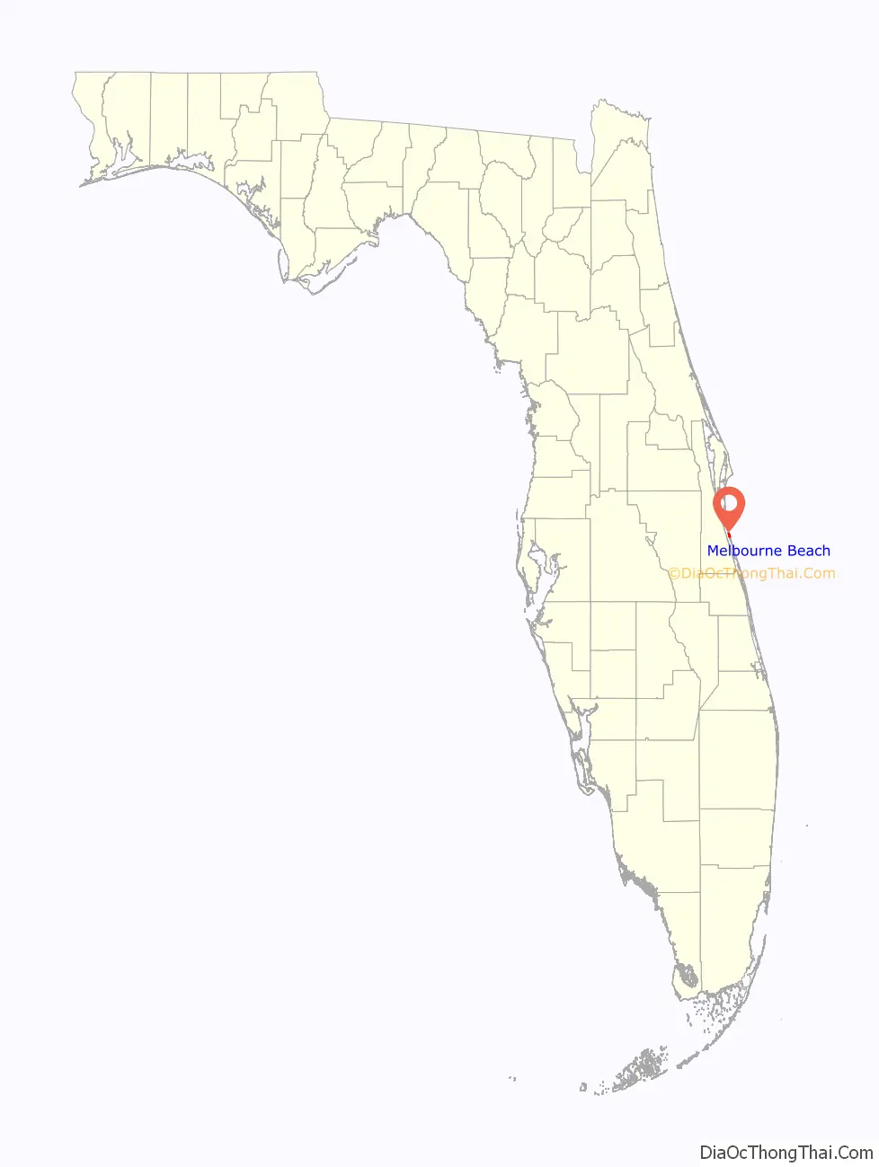
Melbourne Beach location map. Where is Melbourne Beach town?
History
The Ais Indians resided in the area in pre-Columbian times. In 2010, a midden near Aquarina included a burial ground for a chief and two handmaidens.
It has been suggested that Juan Ponce de León landed near Melbourne Beach in 1513, where he then became the first European to set foot in Florida. A determination of this was made by a historian in the 1990s, who believed that the spot was “within five to eight nautical miles” on the barrier island with a proposed name of Ponce de León Island. However, this suggestion has not been met with wide acceptance from historians who state that de Leon’s landing place cannot be known within a leeway of less than a hundred miles or so. A statue of Ponce de León was erected at “Juan Ponce de León Landing” in Melbourne Beach to commemorate his discovery.
Melbourne Beach is Brevard County’s oldest beach community.
In 1879, a hotel, the Oak Lodge, was built for researchers and naturalists on a 164-acre (66 ha) location near Aquarina.
In 1921, the Melbourne Causeway was built, connecting Melbourne Beach to the mainland via the town of Indialantic. In 1923 it was incorporated as a town.
In 1928, Harry J. Brooks, attempting to set a long distance record, crashed a Ford Flivver off the coast of Melbourne Beach, resulting in his death.
The town’s population oscillated until World War II, when it began growing steadily. Currently, it is largely residential, with an elementary school, some businesses, and many condominiums in the unincorporated areas to the north and south.
In 2007, it was voted one of ten best bargain retirement spots in America.
In 2016, a Publix located four miles south of Melbourne Beach sold one of the winning tickets in the $1.3 billion Powerball.
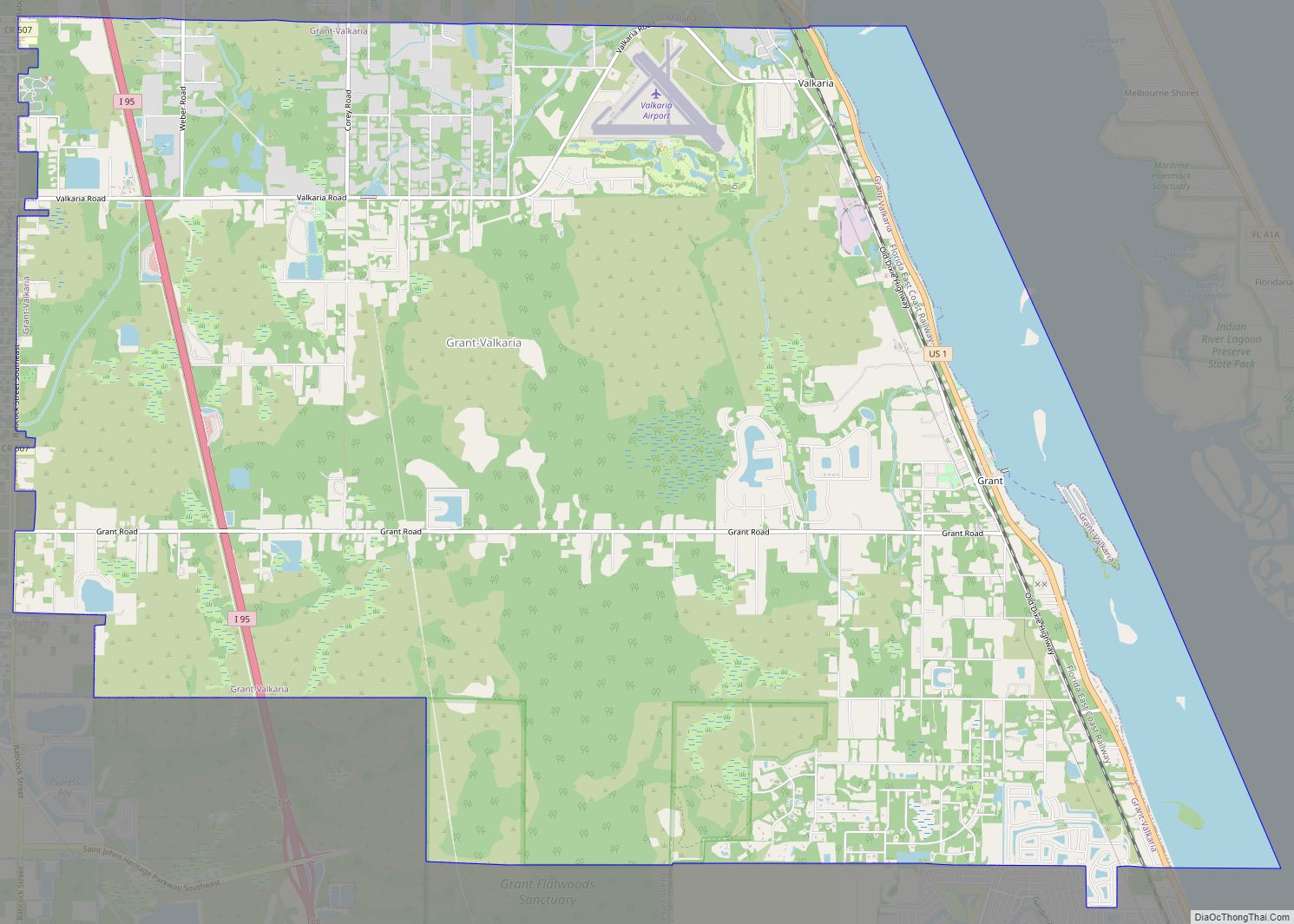
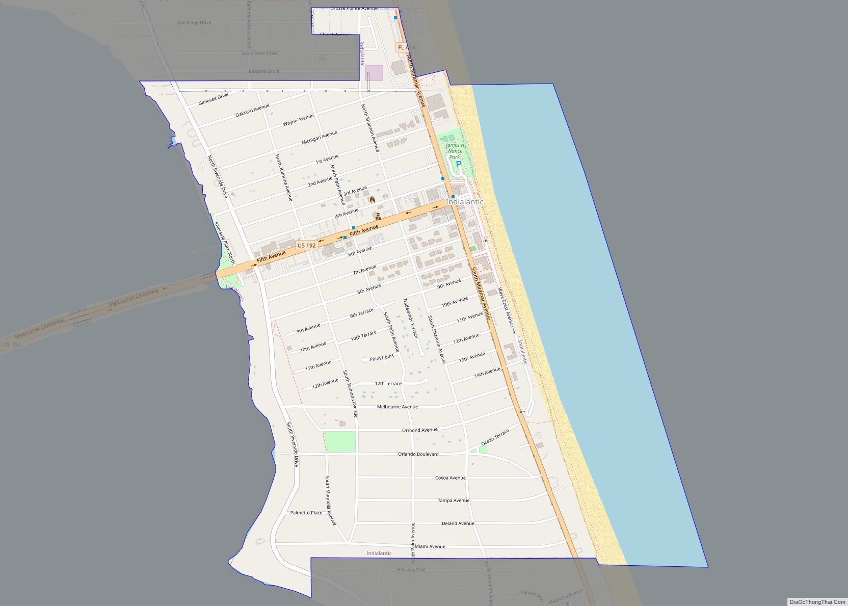
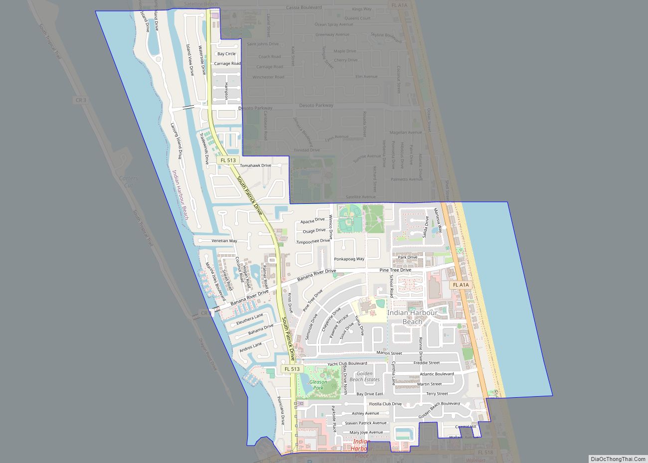
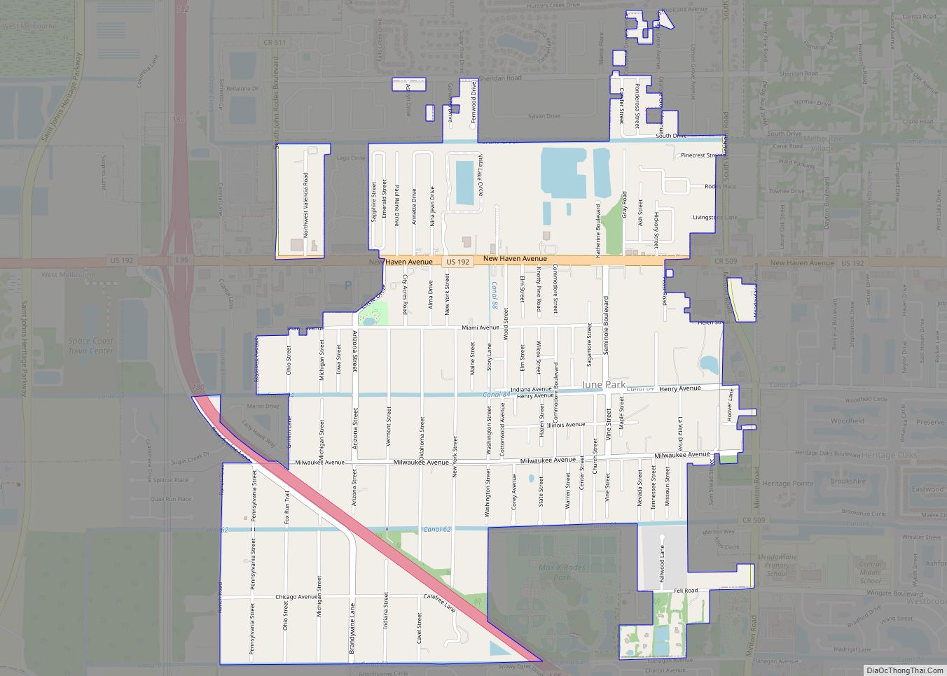
Melbourne Beach Road Map
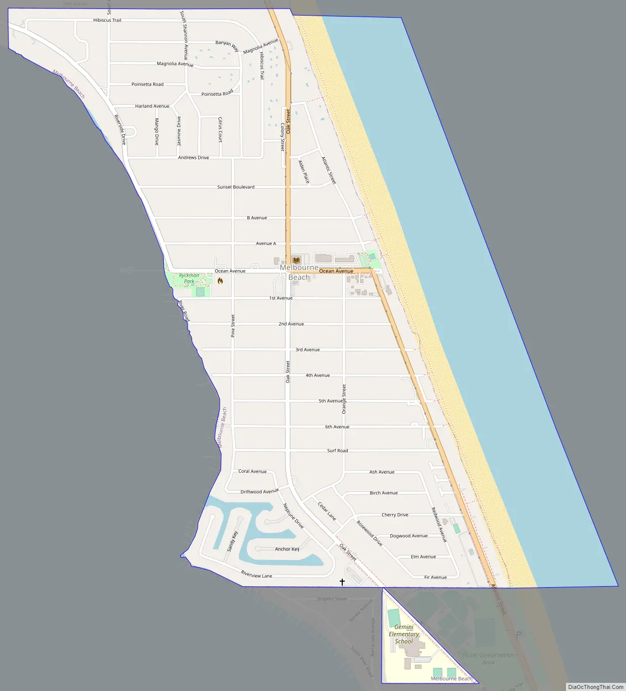
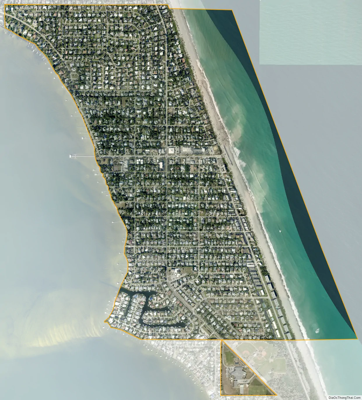
Melbourne Beach city Satellite Map
Geography
Melbourne Beach is located at 28°04′04″N 80°33′42″W / 28.067745°N 80.561724°W / 28.067745; -80.561724. It is situated on the barrier island that separates the Indian River Lagoon from the Atlantic Ocean. This island, approximately 45 miles (72 km) in length, stretches from Cape Canaveral to the north to the Sebastian Inlet to the south. Melbourne Beach is bordered by the town of Indialantic to the north.
According to the United States Census Bureau, the town has a total area of 1.3 square miles (3.3 km). 1.0 square miles (2.7 km) of it is land and 0.2 square miles (0.6 km) of it (19.53%) is water.
Climate
Fauna
Shorebirds include black-bellied plovers, red knots (winter), gannets, seabirds (offshore), and red-throated loons (winter).
See also
Map of Florida State and its subdivision:- Alachua
- Baker
- Bay
- Bradford
- Brevard
- Broward
- Calhoun
- Charlotte
- Citrus
- Clay
- Collier
- Columbia
- Desoto
- Dixie
- Duval
- Escambia
- Flagler
- Franklin
- Gadsden
- Gilchrist
- Glades
- Gulf
- Hamilton
- Hardee
- Hendry
- Hernando
- Highlands
- Hillsborough
- Holmes
- Indian River
- Jackson
- Jefferson
- Lafayette
- Lake
- Lee
- Leon
- Levy
- Liberty
- Madison
- Manatee
- Marion
- Martin
- Miami-Dade
- Monroe
- Nassau
- Okaloosa
- Okeechobee
- Orange
- Osceola
- Palm Beach
- Pasco
- Pinellas
- Polk
- Putnam
- Saint Johns
- Saint Lucie
- Santa Rosa
- Sarasota
- Seminole
- Sumter
- Suwannee
- Taylor
- Union
- Volusia
- Wakulla
- Walton
- Washington
- Alabama
- Alaska
- Arizona
- Arkansas
- California
- Colorado
- Connecticut
- Delaware
- District of Columbia
- Florida
- Georgia
- Hawaii
- Idaho
- Illinois
- Indiana
- Iowa
- Kansas
- Kentucky
- Louisiana
- Maine
- Maryland
- Massachusetts
- Michigan
- Minnesota
- Mississippi
- Missouri
- Montana
- Nebraska
- Nevada
- New Hampshire
- New Jersey
- New Mexico
- New York
- North Carolina
- North Dakota
- Ohio
- Oklahoma
- Oregon
- Pennsylvania
- Rhode Island
- South Carolina
- South Dakota
- Tennessee
- Texas
- Utah
- Vermont
- Virginia
- Washington
- West Virginia
- Wisconsin
- Wyoming