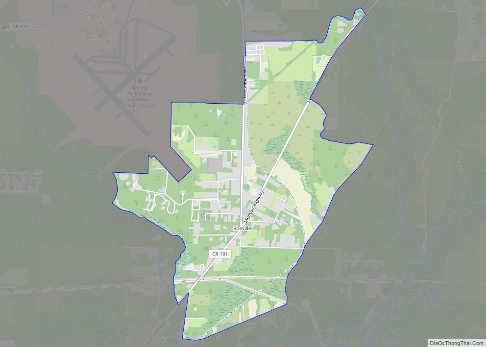
Roeville is an unincorporated community and census-designated place in Santa Rosa County, Florida, United States. Its population was 608 as of the 2010 census. Roeville CDP overview: Name: Roeville CDP LSAD Code: 57 LSAD Description: CDP (suffix) State: Florida County: Santa Rosa County Elevation: 39 ft (12 m) Total Area: 4.581 sq mi (11.86 km²) Land Area: 4.570 sq mi (11.84 km²) Water ... Read more
Florida Cities and Places
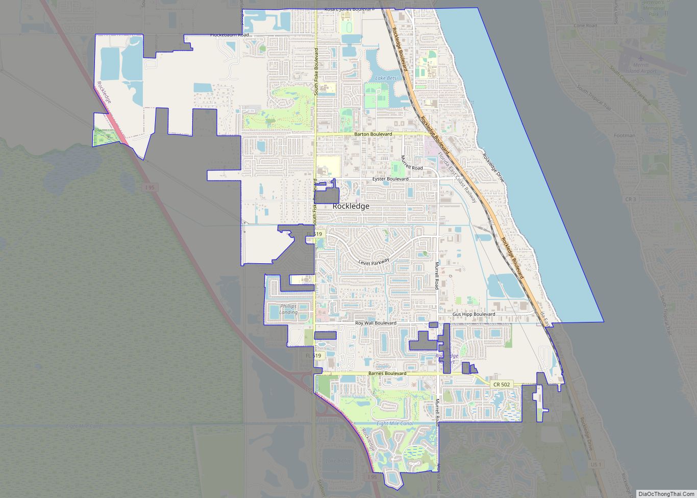
Rockledge /ˈrɒklɪdʒ, -ˌlɛdʒ/ is the oldest city in Brevard County, Florida. The city’s population was 24,926 at the 2010 United States Census, and is part of the Palm Bay−Melbourne−Titusville Metropolitan Statistical Area. Rockledge city overview: Name: Rockledge city LSAD Code: 25 LSAD Description: city (suffix) State: Florida County: Brevard County Founded: August 7, 1887 Elevation: ... Read more
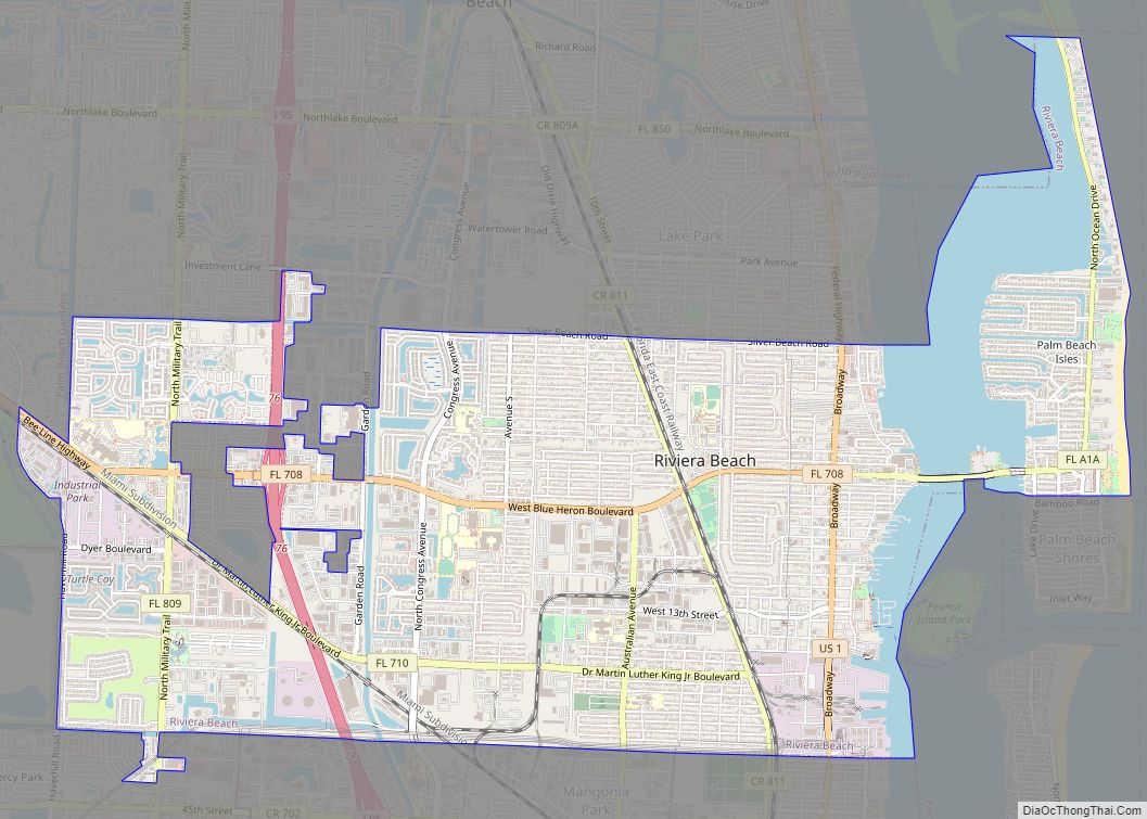
Riviera Beach is a city in Palm Beach County, Florida, United States, which was incorporated September 29, 1922. Due to the location of its eastern boundary, it is also the easternmost municipality in the Miami metropolitan area, which was home to an estimated 6,012,331 people in 2015. In the 2020 U.S. Census, the total population ... Read more
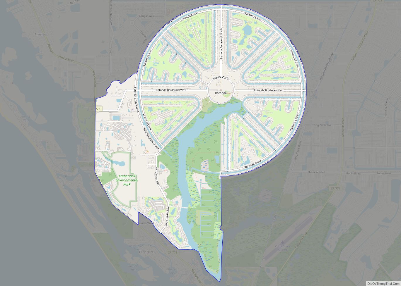
Rotonda West is an unincorporated, deed-restricted community situated in Charlotte County, Florida, United States. The 2020 U.S. Census Bureau lists it as the Rotonda census-designated place, with a population of 10,114. It is part of the Sarasota-Bradenton-Punta Gorda Combined Statistical Area. It was developed and named Rotonda West by Cavanagh Communities Corporation, which purchased the ... Read more
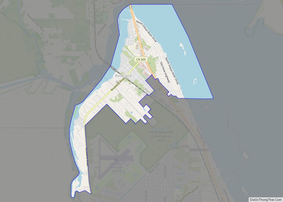
Roseland is an unincorporated community and census-designated place (CDP) in Indian River County, Florida, United States. The population was 1,472 at the 2010 census, down from 1,775 at the 2000 census. It is part of the Sebastian–Vero Beach Metropolitan Statistical Area. Roseland CDP overview: Name: Roseland CDP LSAD Code: 57 LSAD Description: CDP (suffix) State: ... Read more
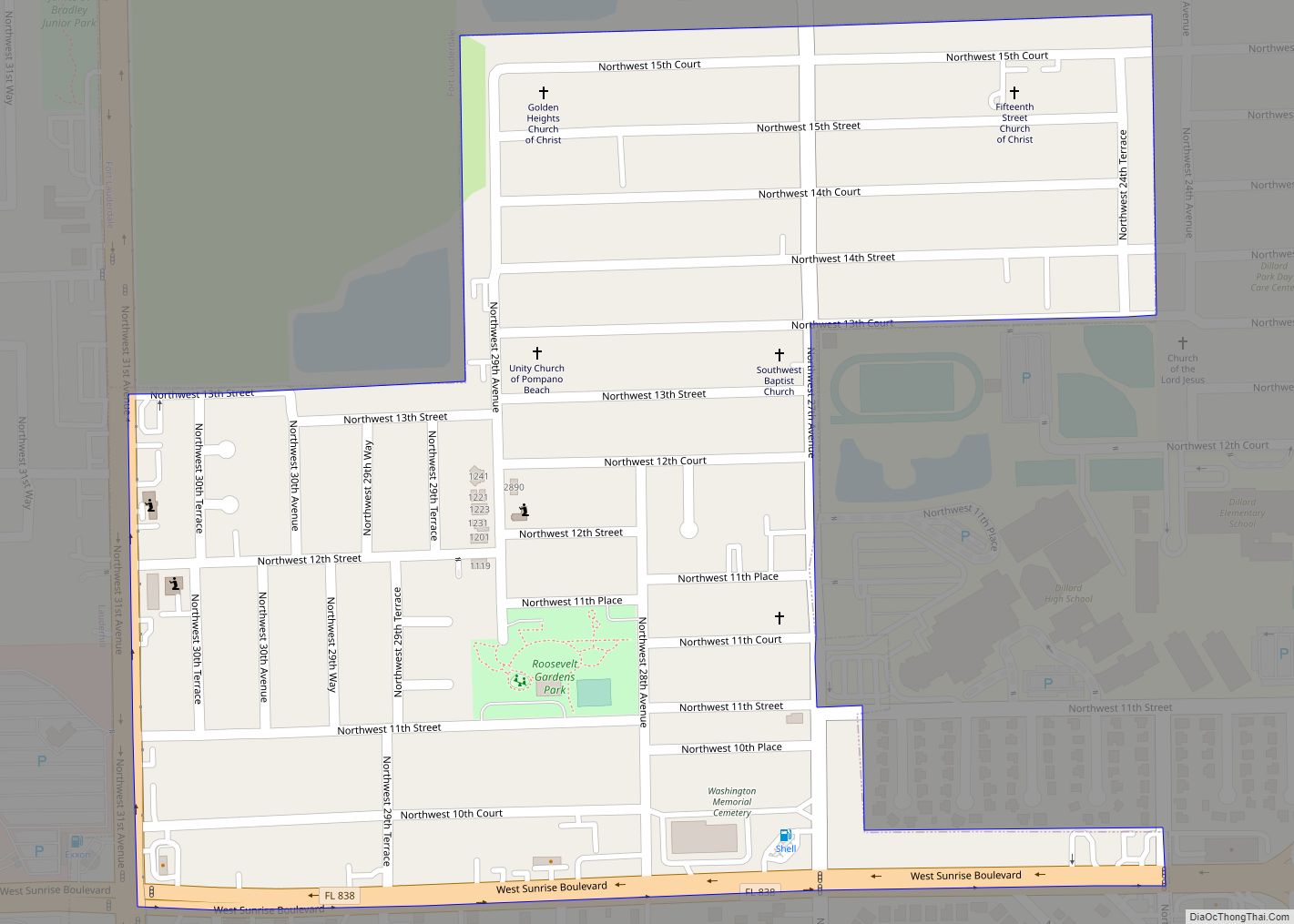
Roosevelt Gardens is a census-designated place (CDP) in Broward County, Florida, United States. The population was 2,456 at the 2010 census. Roosevelt Gardens CDP overview: Name: Roosevelt Gardens CDP LSAD Code: 57 LSAD Description: CDP (suffix) State: Florida County: Broward County Total Area: 0.32 sq mi (0.83 km²) Land Area: 0.32 sq mi (0.83 km²) Water Area: 0.00 sq mi (0.00 km²) Total Population: ... Read more
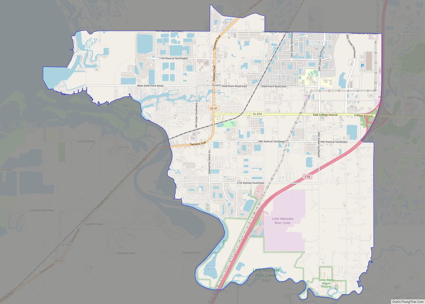
Ruskin is an unincorporated census-designated place in Hillsborough County, Florida. The area was part of the chiefdom of the Uzita at the time of the Hernando de Soto expedition in 1539. The community was founded August 7, 1908, on the shores of the Little Manatee River. It was developed by Dr. George McAnelly Miller, an ... Read more
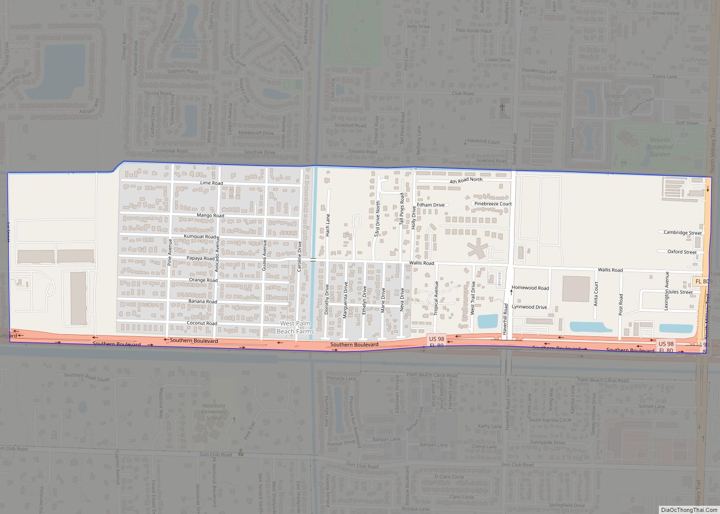
Royal Palm Estates is a census-designated place (CDP) in Palm Beach County, Florida, United States. The population was 1,974 at the 2020 census. Royal Palm Estates CDP overview: Name: Royal Palm Estates CDP LSAD Code: 57 LSAD Description: CDP (suffix) State: Florida County: Palm Beach County Elevation: 16 ft (5 m) Total Area: 0.25 sq mi (0.65 km²) Land Area: ... Read more
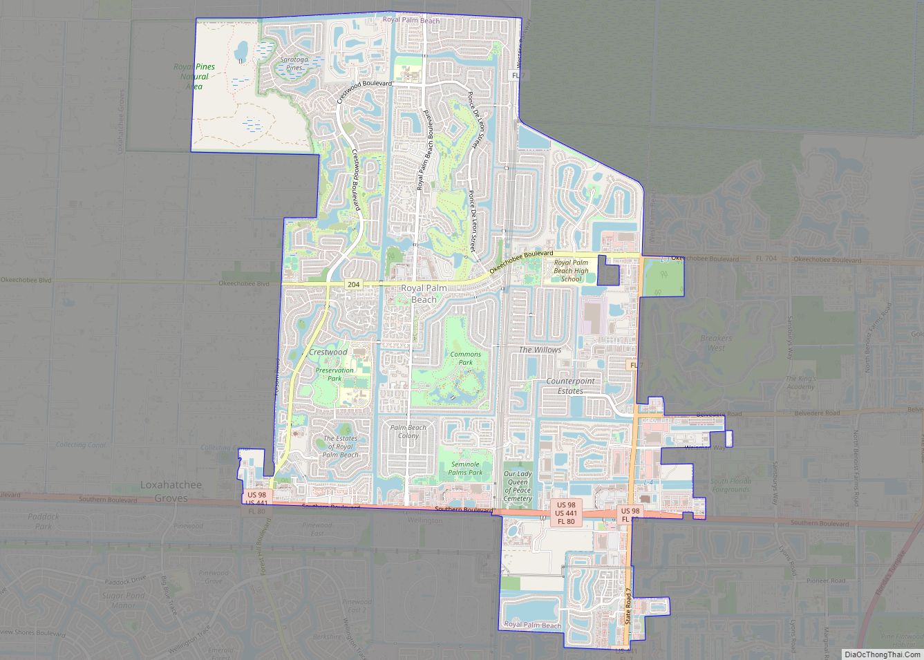
Royal Palm Beach is a village in southeast Florida, located within Palm Beach County. The population was measured at 34,140 in the 2010 census. It is part of the Miami Metropolitan Area. Despite its name, the village is located approximately fifteen miles inland from the Atlantic Ocean. Royal Palm Beach is known for its many ... Read more
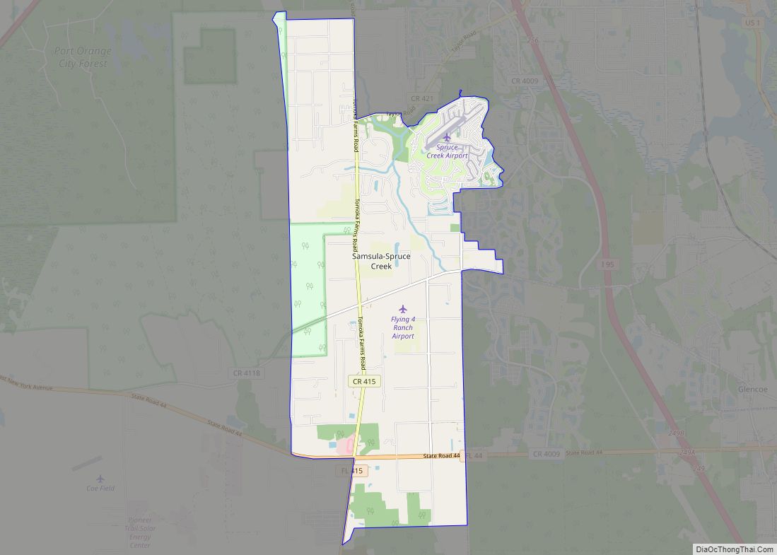
Samsula-Spruce Creek is a census-designated place (CDP) in Volusia County, Florida, United States. The population was 5,047 at the 2010 census. While many households reside here, it is principally an agricultural area west of the cities of Port Orange and New Smyrna Beach. Samsula-Spruce Creek CDP overview: Name: Samsula-Spruce Creek CDP LSAD Code: 57 LSAD ... Read more
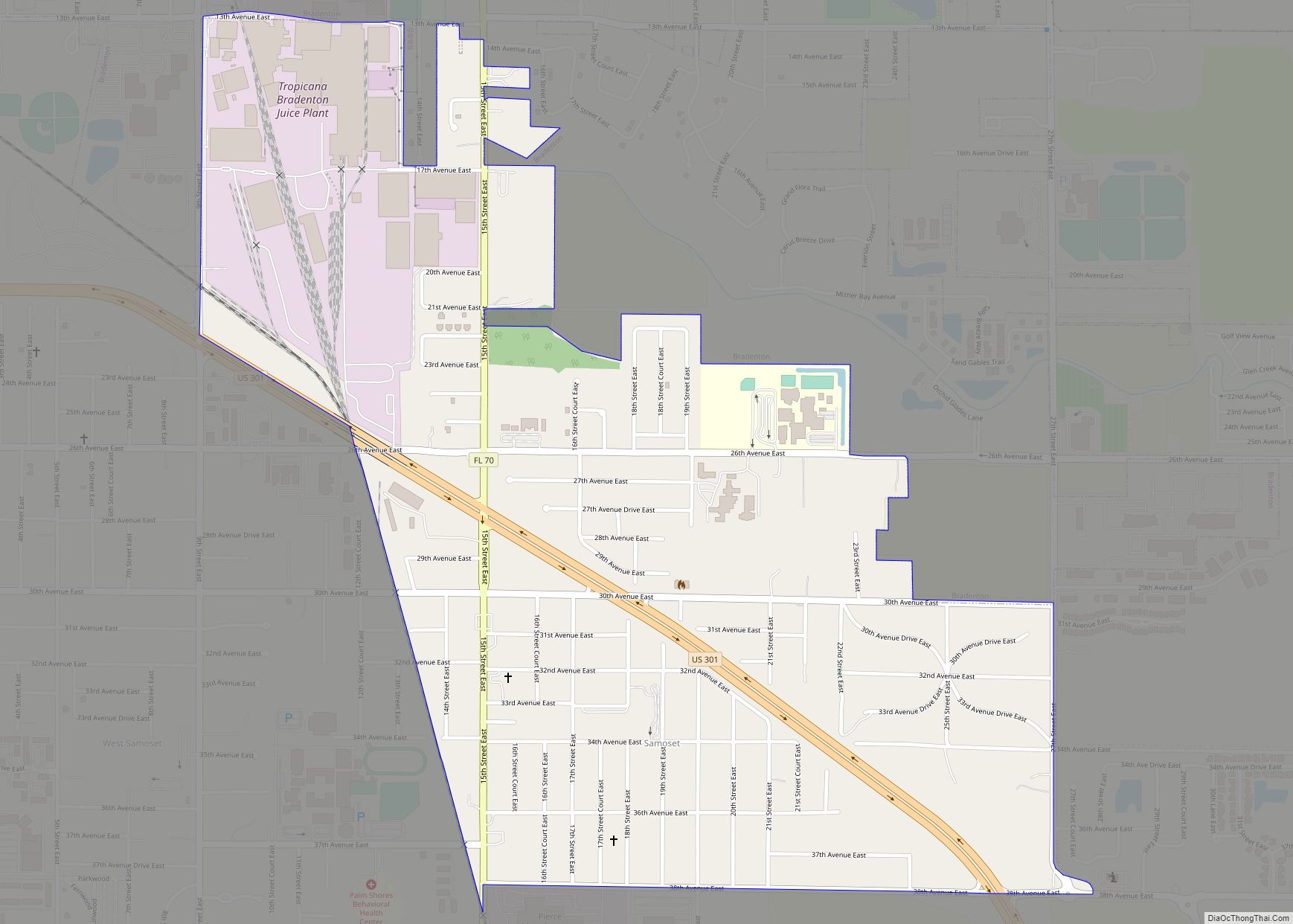
Samoset is an unincorporated community and census-designated place (CDP) in Manatee County, Florida, United States. The population was 4,146 at the 2020 census, up from 3,854 in 2010. It is part of the Bradenton–Sarasota–Venice Metropolitan Statistical Area. Samoset CDP overview: Name: Samoset CDP LSAD Code: 57 LSAD Description: CDP (suffix) State: Florida County: Manatee County ... Read more
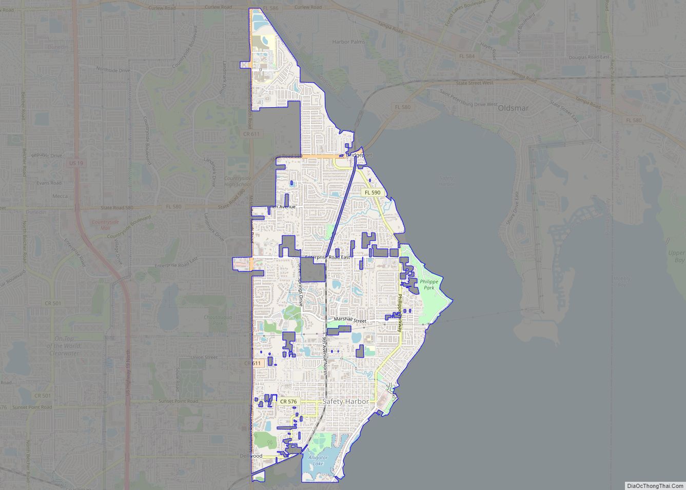
Safety Harbor is a city on the west shore of Tampa Bay in Pinellas County, Florida, United States. It was settled in 1823 and incorporated in 1917. The population was 16,884 at the 2010 census. Safety Harbor city overview: Name: Safety Harbor city LSAD Code: 25 LSAD Description: city (suffix) State: Florida County: Pinellas County ... Read more
