Rockledge /ˈrɒklɪdʒ, -ˌlɛdʒ/ is the oldest city in Brevard County, Florida. The city’s population was 24,926 at the 2010 United States Census, and is part of the Palm Bay−Melbourne−Titusville Metropolitan Statistical Area.
| Name: | Rockledge city |
|---|---|
| LSAD Code: | 25 |
| LSAD Description: | city (suffix) |
| State: | Florida |
| County: | Brevard County |
| Founded: | August 7, 1887 |
| Elevation: | 23 ft (7 m) |
| Total Area: | 14.93 sq mi (38.68 km²) |
| Land Area: | 13.22 sq mi (34.24 km²) |
| Water Area: | 1.72 sq mi (4.44 km²) |
| Total Population: | 27,678 |
| Population Density: | 2,093.80/sq mi (808.44/km²) |
| ZIP code: | 32955-32956 |
| Area code: | 321 |
| FIPS code: | 1261500 |
| GNISfeature ID: | 0294132 |
| Website: | www.CityofRockledge |
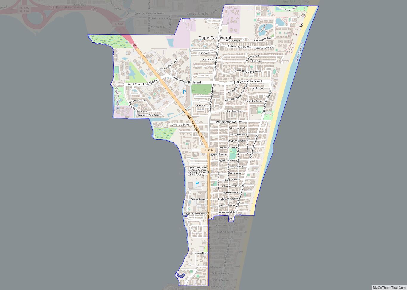
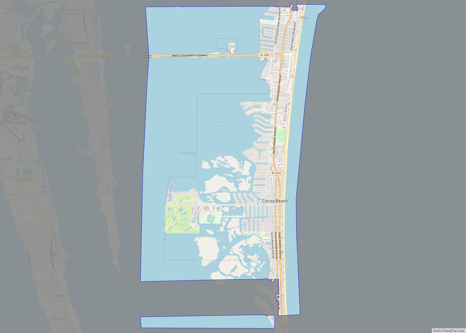
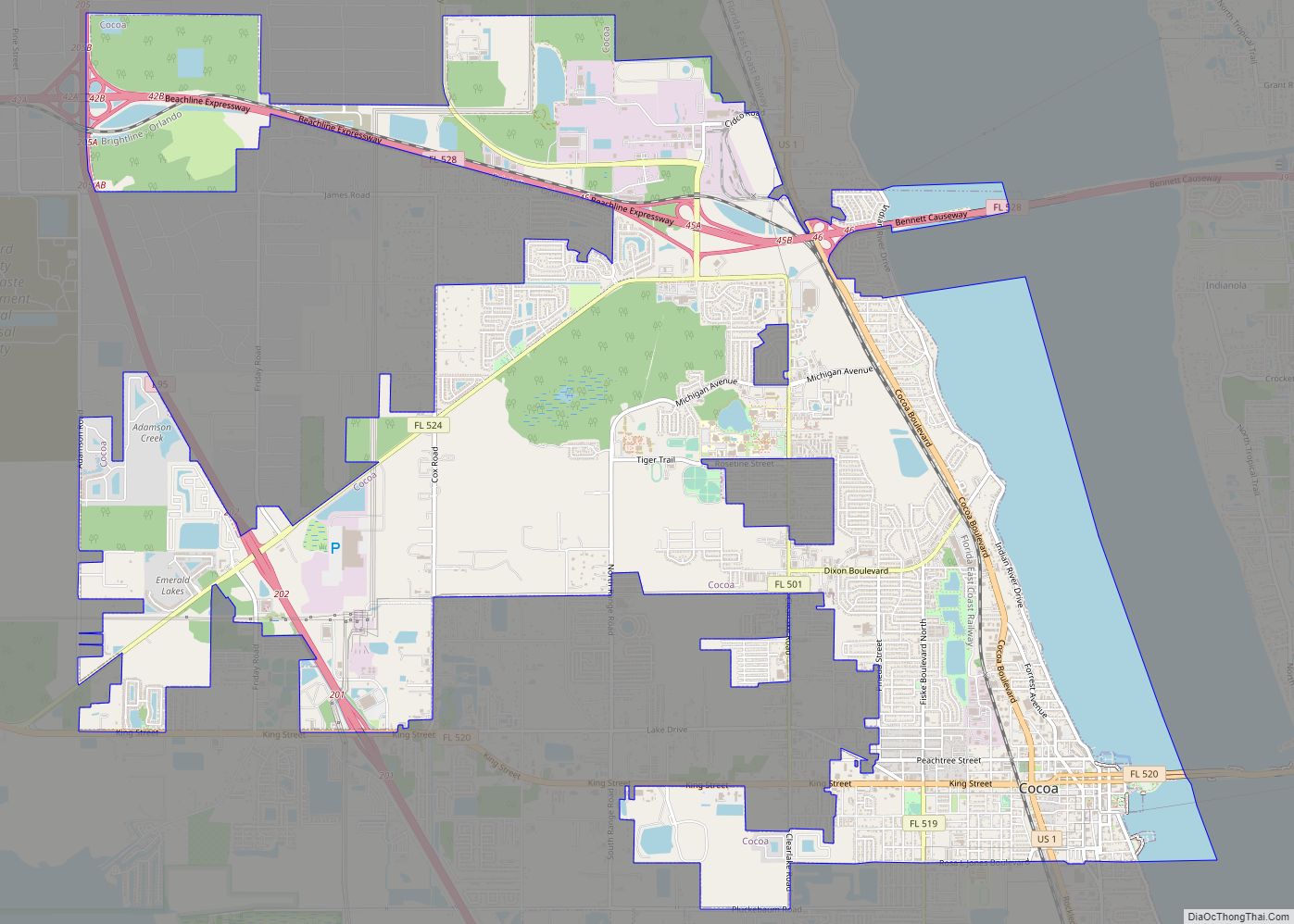
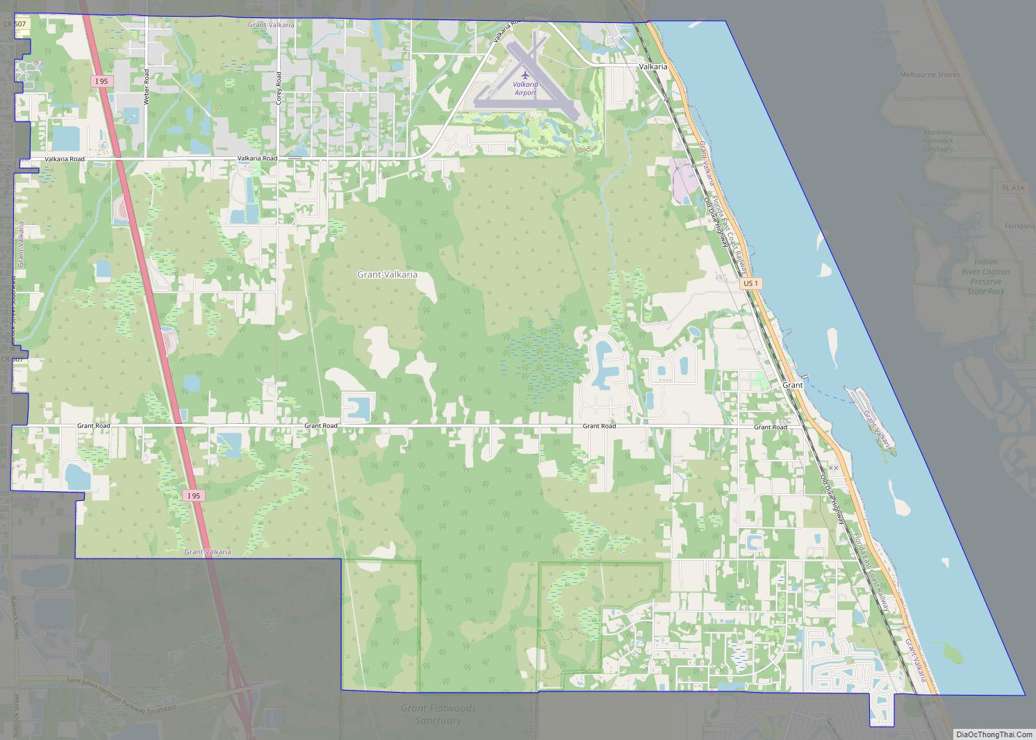
Online Interactive Map
Click on ![]() to view map in "full screen" mode.
to view map in "full screen" mode.
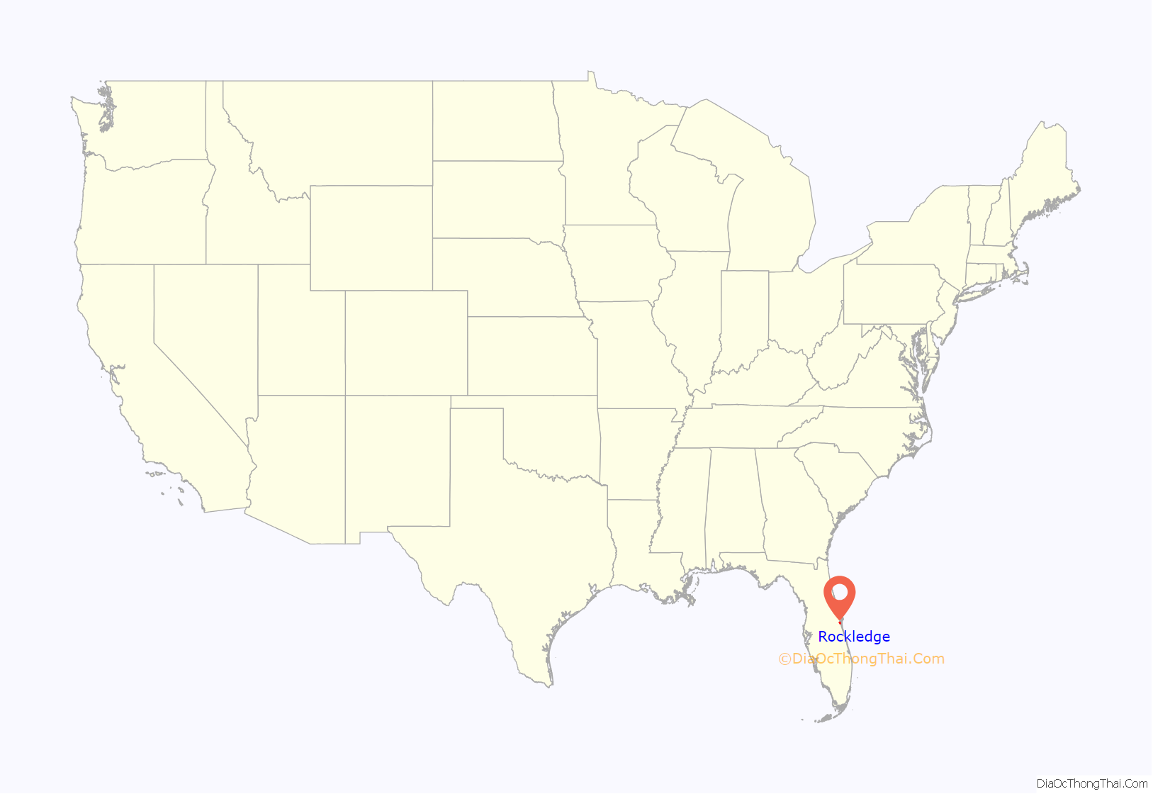
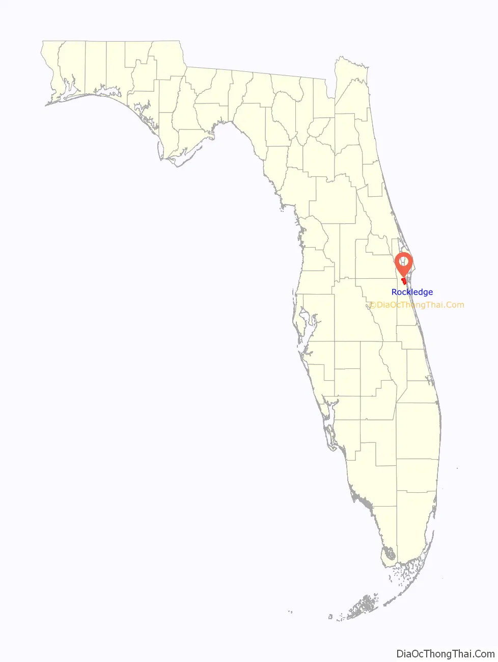
Rockledge location map. Where is Rockledge city?
History
Rockledge was officially founded on August 7, 1887, making it the oldest incorporated municipality in Brevard County. The name Rockledge, attributed to Gardner S. Hardee, an early settler, comes from the many ledges of coquina rock that line the Indian River. Other sources refer to a man named Cephas Bailey Magruder, who built his home after settling in the area in 1876 near the Indian River. Magruder called his home “the rockledge home” and the name was eventually attributed to the whole town. It was originally referred to as Rock Ledge; the two-word name persisted through the 19th century. Early industry in the area was based on the citrus trade and accommodation for tourists traveling to South Florida via the Atlantic Intracoastal Waterway of the Indian River.
President Grover Cleveland and his wife visited the city in 1888.
The town had several large hotels in the late 19th century to the early 20th century that catered to Northern tourists escaping cold winters. These included the Hotel Indian River, the Plaza, and the Rockledge Hotel, all located north of Barton Avenue, looking out over the river.
Towards the early part of the 20th century, Rockledge was known as a resort town. In the winter months, the population would rise from 200 to almost 2,000 people. Up until about 1911, access to Rockledge was via boat and rail. Steamboats in the Indian River connected with Henry Flagler’s trains to bring people to the North. Small boats, sailboats, and small launches frequently stopped to unload freight and passengers. Most of the tourists in this time were wealthy and would use the boats to connect to the rail system at that time. After World War I, the automobile allowed the average person to travel to the area and their encampments dotted the area. The Dixie Highway was completed in 1915 and spanned most of Florida. In the 1920s, US1 was paved and replaced the Dixie Highway.
In 1939–1940, a winter visitor donated the money to construct a hospital. The mayor convinced the council to donate land from the former golf course that had belonged to the defunct Indian River Hotel for the hospital.
Rockledge underwent an expansion further west and south in the 1960s when it became a bedroom community for the nearby Kennedy Space Center. Several hundred families from all over the United States settled in the city with the advent of the Apollo missions and the space shuttle program.
Barton Boulevard replaced US 1 as the town’s economic center as new subdivisions spread south along Fiske Boulevard. By the 1970s, the bulk of Rockledge’s population lived between US 1 and I-95.
Developments stretched north to south from the late 1950s to the 1990s. Virginia Park, Marlin Manor, Fairway Estates, Rockledge Country Club Estates, Golfview Estates, Kings Grant, Georgetown, Levitt Park and Woodsmere had all been established by the 1960s–1980s
Levitt Park and Woodsmere were built atop a gladiola farm and an orange grove. The huge Australian Pine trees at the southernmost points of Fiske Boulevard are all that remain of the grove’s windbreaks. The subdivision of Silver Pines, while part of unincorporated Brevard County outside the city limit, was also built during this period and is identified by citizens as a part of the city.
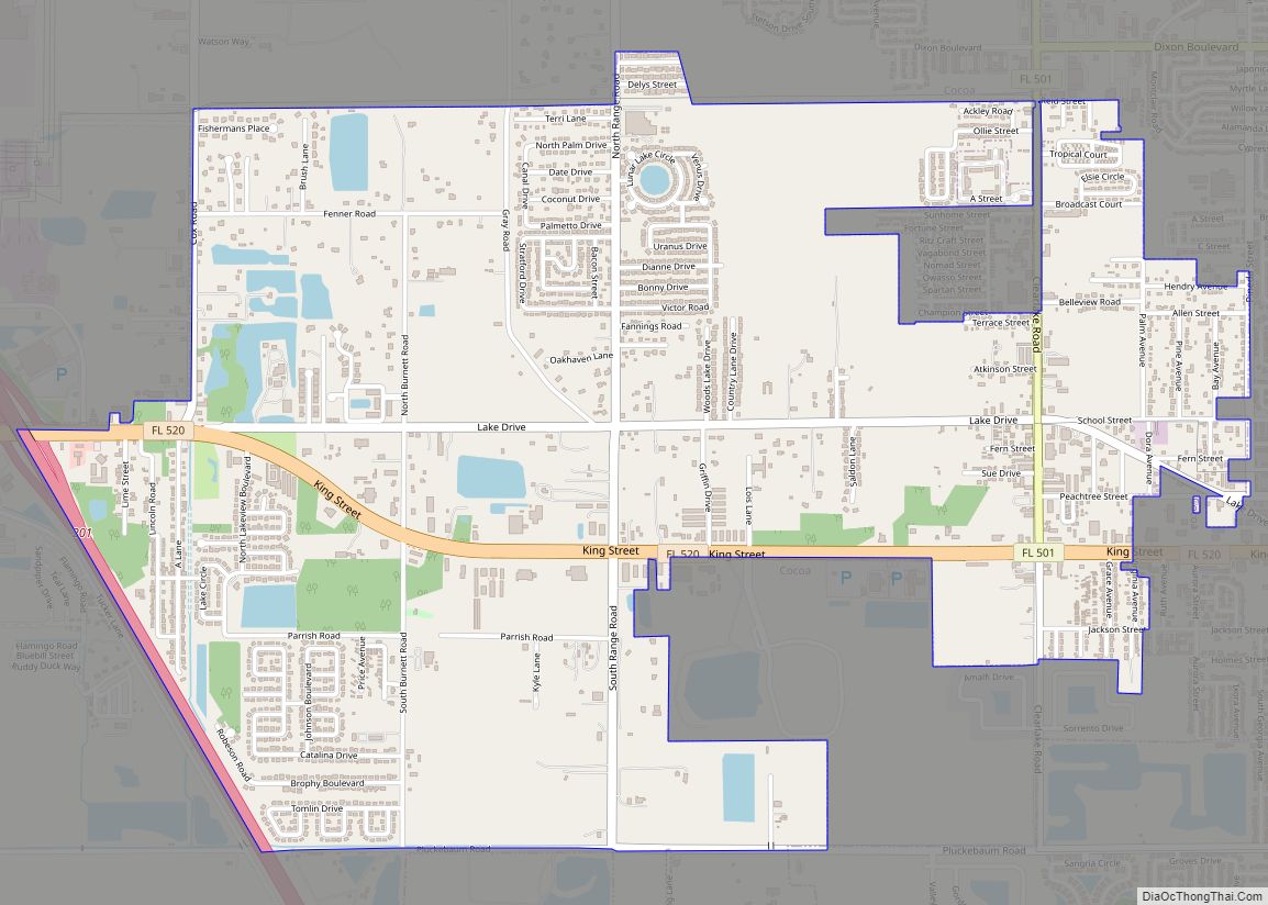
Rockledge Road Map
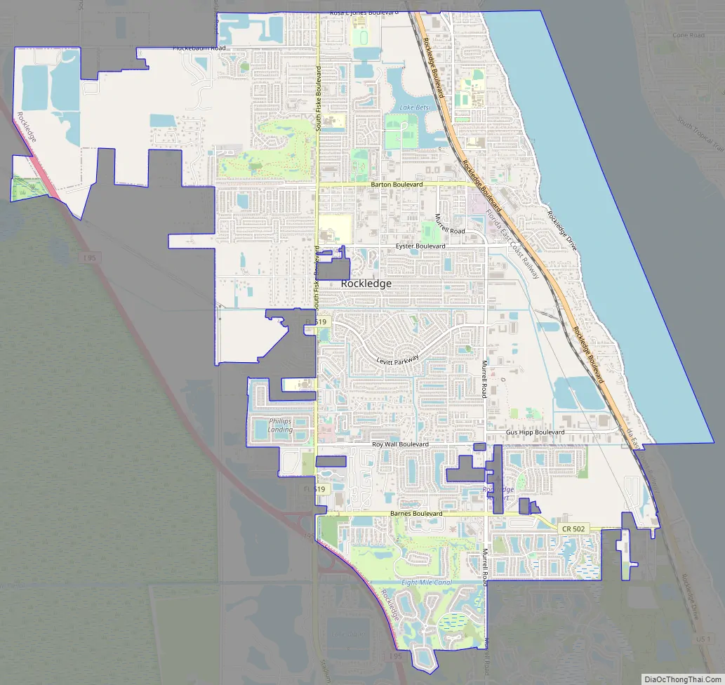
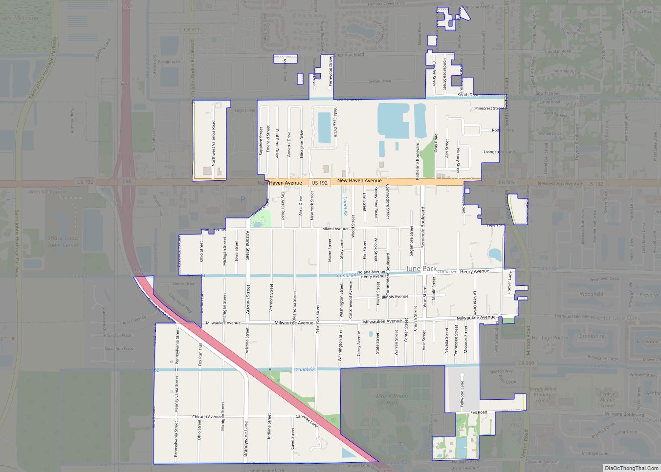
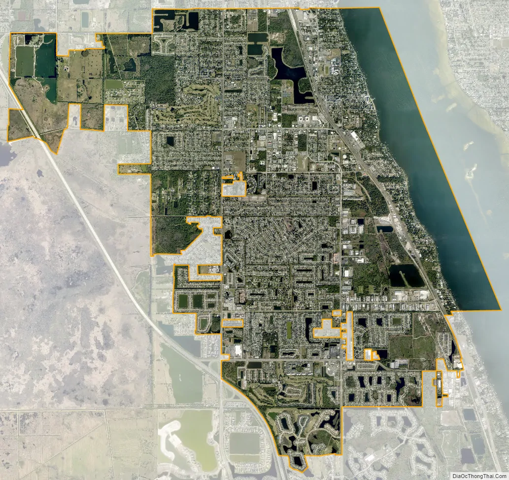
Rockledge city Satellite Map
Geography
According to the United States Census Bureau, the city has a total area of 13.4 square miles (34.8 km), of which 11.9 square miles (30.9 km) is land and 1.5 square miles (3.8 km) (11.03%) is water.
It is bounded on the north by Cocoa, on the west by the St. Johns River and scrubland, to the south by Viera (unincorporated) and Melbourne, and to the east by the Indian River Lagoon and Merritt Island (unincorporated) on the opposite shore.
Climate
Rockledge has a humid subtropical climate, Köppen climate classification Cfa. The area’s warm and humid climate is caused primarily by its proximity to the Gulf Stream, which flows off the east coast of Florida. There are two major seasons which characterize the area. One is hot and rainy, lasting from June until late September. The other is the dry season, October through May, brings more moderate temperatures and less frequent rainfall.
Environment
Rainfall can run off from the city into the Indian River Lagoon, with resultant pollution. As a result, the city has banned fertilizing from June 1 to September 30 annually.
See also
Map of Florida State and its subdivision:- Alachua
- Baker
- Bay
- Bradford
- Brevard
- Broward
- Calhoun
- Charlotte
- Citrus
- Clay
- Collier
- Columbia
- Desoto
- Dixie
- Duval
- Escambia
- Flagler
- Franklin
- Gadsden
- Gilchrist
- Glades
- Gulf
- Hamilton
- Hardee
- Hendry
- Hernando
- Highlands
- Hillsborough
- Holmes
- Indian River
- Jackson
- Jefferson
- Lafayette
- Lake
- Lee
- Leon
- Levy
- Liberty
- Madison
- Manatee
- Marion
- Martin
- Miami-Dade
- Monroe
- Nassau
- Okaloosa
- Okeechobee
- Orange
- Osceola
- Palm Beach
- Pasco
- Pinellas
- Polk
- Putnam
- Saint Johns
- Saint Lucie
- Santa Rosa
- Sarasota
- Seminole
- Sumter
- Suwannee
- Taylor
- Union
- Volusia
- Wakulla
- Walton
- Washington
- Alabama
- Alaska
- Arizona
- Arkansas
- California
- Colorado
- Connecticut
- Delaware
- District of Columbia
- Florida
- Georgia
- Hawaii
- Idaho
- Illinois
- Indiana
- Iowa
- Kansas
- Kentucky
- Louisiana
- Maine
- Maryland
- Massachusetts
- Michigan
- Minnesota
- Mississippi
- Missouri
- Montana
- Nebraska
- Nevada
- New Hampshire
- New Jersey
- New Mexico
- New York
- North Carolina
- North Dakota
- Ohio
- Oklahoma
- Oregon
- Pennsylvania
- Rhode Island
- South Carolina
- South Dakota
- Tennessee
- Texas
- Utah
- Vermont
- Virginia
- Washington
- West Virginia
- Wisconsin
- Wyoming