Safety Harbor is a city on the west shore of Tampa Bay in Pinellas County, Florida, United States. It was settled in 1823 and incorporated in 1917. The population was 16,884 at the 2010 census.
| Name: | Safety Harbor city |
|---|---|
| LSAD Code: | 25 |
| LSAD Description: | city (suffix) |
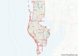
| State: | Florida |
| County: | Pinellas County |
| Incorporated: | 1917 |
| Elevation: | 20 ft (6 m) |
| Total Area: | 5.10 sq mi (13.21 km²) |
| Land Area: | 4.92 sq mi (12.75 km²) |
| Water Area: | 0.18 sq mi (0.46 km²) |
| Total Population: | 17,072 |
| Population Density: | 3,467.10/sq mi (1,338.66/km²) |
| ZIP code: | 34695 |
| Area code: | 727 |
| FIPS code: | 1262425 |
| GNISfeature ID: | 0290124 |
| Website: | www.cityofsafetyharbor.com |
Online Interactive Map
Click on ![]() to view map in "full screen" mode.
to view map in "full screen" mode.
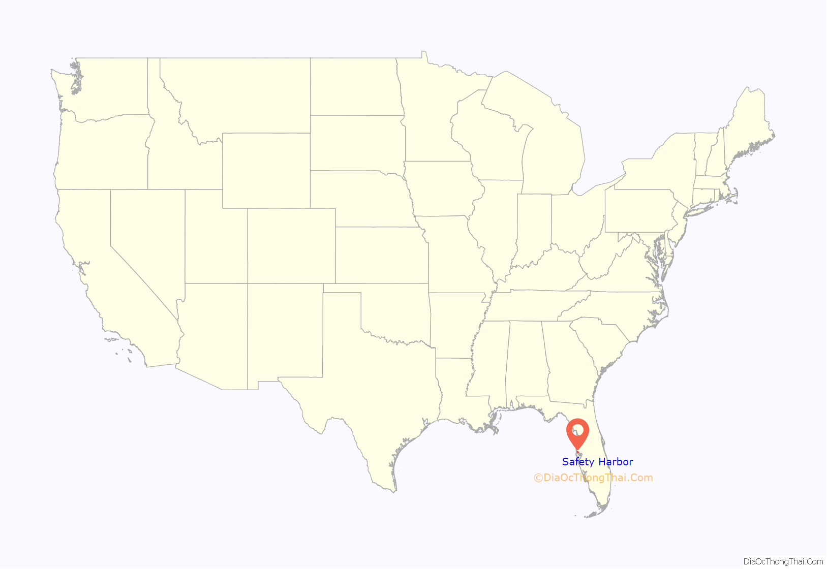
Safety Harbor location map. Where is Safety Harbor city?

History
The area has been inhabited since the Stone Age. In June 2008, a 6,000-year-old spearhead was found at Marshall Street Park. The inhabitants of the area at the time of Spanish exploration were the Tocobaga people, who lived in villages around Tampa Bay. The adaptation of this culture relied on wild resources. Safety Harbor sites have yielded pottery, and artifacts of copper, shell, and stone. The Tocobaga were known for constructing various ceremonial and communal mounds to bury the dead. Most of these mounds were destroyed in the early 1900s due to development. However, one of these ceremonial mounds is still visible in Safety Harbor’s Phillippe Park (see photo). Shells found in these mounds were used to pave city streets.
In 1528 Spanish explorer Pánfilo de Narváez landed in the area, followed by Hernando de Soto in 1539. Safety Harbor (formerly known as Worth’s Harbor and Green’s Springs) was first homesteaded by Count Odet Philippe, a French nobleman who is credited with introducing the grapefruit to Florida in 1823. The name Safety Harbor originated from the early 18th century, when pirates were a substantial influence in the area. Once ships reached this area of the bay, all threats from pirates were gone, and it was commonly referred to as a “Safe Harbor”.
Springs
Safety Harbor is the home of the historic Espiritu Santo Springs, or “Springs of the Holy Spirit”, a natural mineral spring. Its waters were given this name in 1539 by the Spanish explorer Hernando de Soto, who was supposedly searching for the mythical “Fountain of Youth”. Prior to the Spanish exploration of Florida, the Tocobaga and Timuquan tribes are believed to have fished and bathed in the spring’s waters.
In the twentieth century, Espiritu Santo water was bottled and sold commercially, and later a health spa and hotel were built over the springs. The Safety Harbor Resort and Spa, as it is now known, continues to be a prominent visitor attraction in Pinellas County. In 1964, the site was designated a Historical Landmark by the U.S. Department of the Interior and, in 1997, a Florida Heritage Landmark.
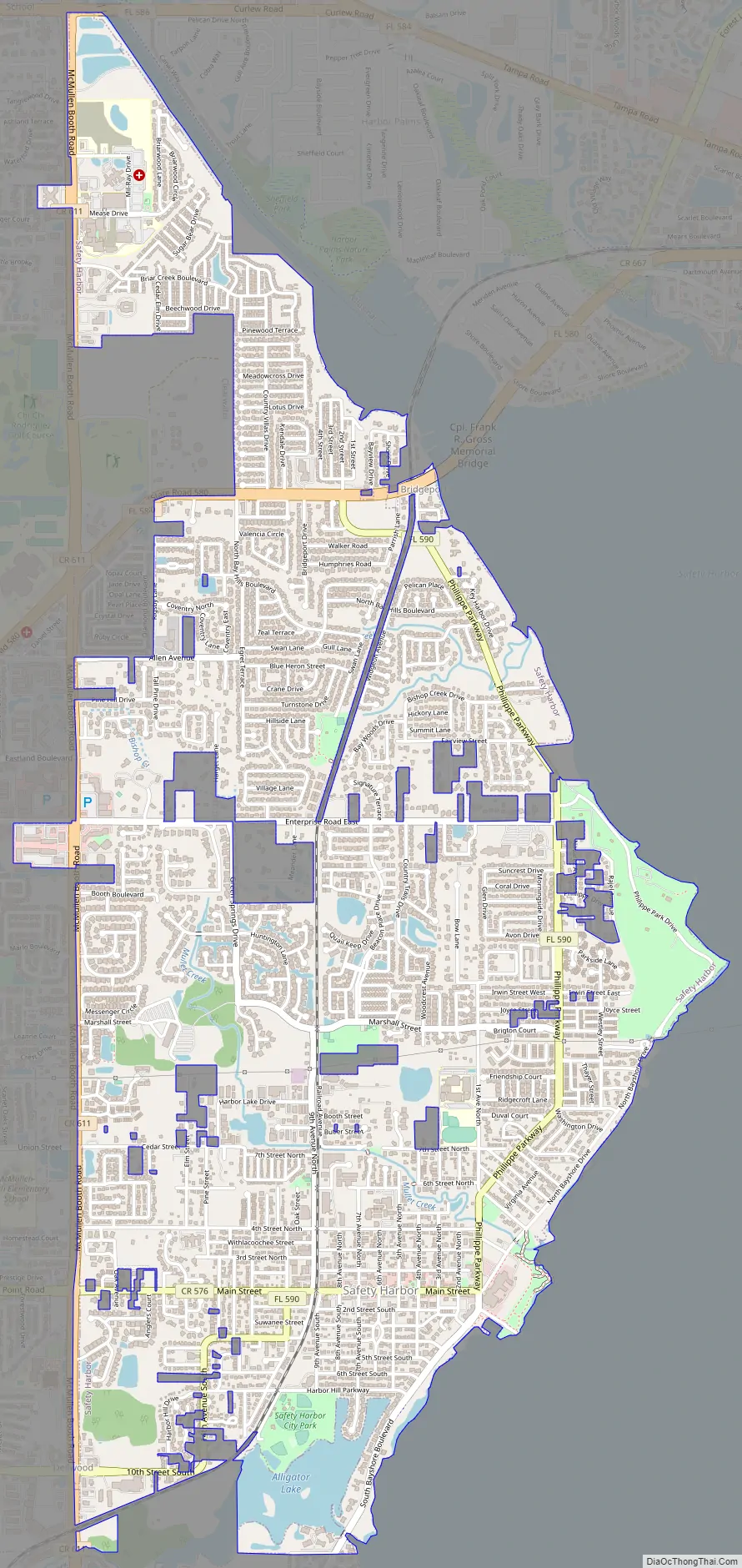
Safety Harbor Road Map
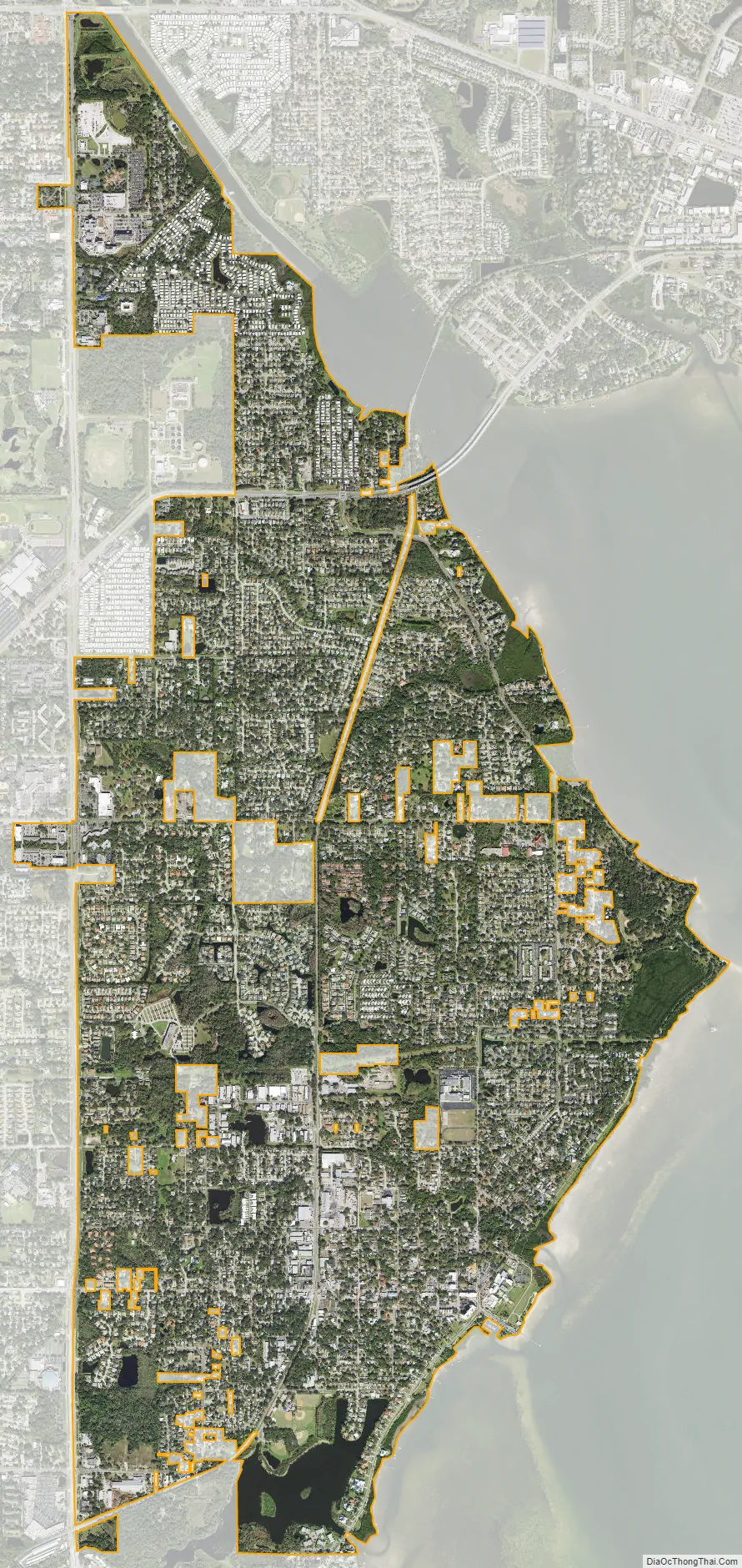
Safety Harbor city Satellite Map
Geography
The city is located on the west side of Safety Harbor, a waterway connected to Tampa Bay.
According to the U.S. Census Bureau, the city has a total area of 5.1 square miles (13 km), of which 4.9 square miles (13 km) is land and 0.1 square miles (0.26 km) (2.57%) is water.
See also
Map of Florida State and its subdivision:- Alachua
- Baker
- Bay
- Bradford
- Brevard
- Broward
- Calhoun
- Charlotte
- Citrus
- Clay
- Collier
- Columbia
- Desoto
- Dixie
- Duval
- Escambia
- Flagler
- Franklin
- Gadsden
- Gilchrist
- Glades
- Gulf
- Hamilton
- Hardee
- Hendry
- Hernando
- Highlands
- Hillsborough
- Holmes
- Indian River
- Jackson
- Jefferson
- Lafayette
- Lake
- Lee
- Leon
- Levy
- Liberty
- Madison
- Manatee
- Marion
- Martin
- Miami-Dade
- Monroe
- Nassau
- Okaloosa
- Okeechobee
- Orange
- Osceola
- Palm Beach
- Pasco
- Pinellas
- Polk
- Putnam
- Saint Johns
- Saint Lucie
- Santa Rosa
- Sarasota
- Seminole
- Sumter
- Suwannee
- Taylor
- Union
- Volusia
- Wakulla
- Walton
- Washington
- Alabama
- Alaska
- Arizona
- Arkansas
- California
- Colorado
- Connecticut
- Delaware
- District of Columbia
- Florida
- Georgia
- Hawaii
- Idaho
- Illinois
- Indiana
- Iowa
- Kansas
- Kentucky
- Louisiana
- Maine
- Maryland
- Massachusetts
- Michigan
- Minnesota
- Mississippi
- Missouri
- Montana
- Nebraska
- Nevada
- New Hampshire
- New Jersey
- New Mexico
- New York
- North Carolina
- North Dakota
- Ohio
- Oklahoma
- Oregon
- Pennsylvania
- Rhode Island
- South Carolina
- South Dakota
- Tennessee
- Texas
- Utah
- Vermont
- Virginia
- Washington
- West Virginia
- Wisconsin
- Wyoming