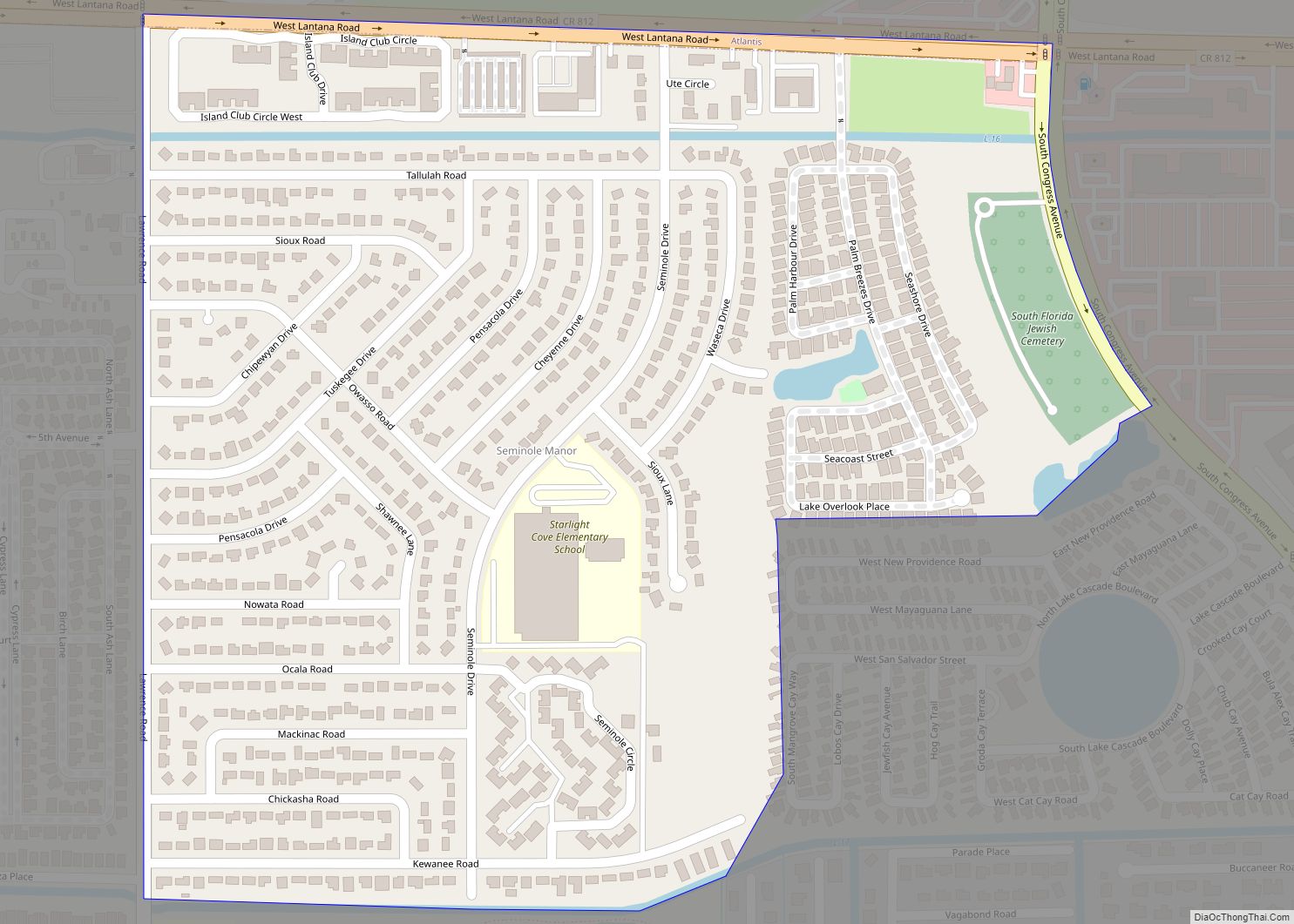
Seminole Manor is a census-designated place (CDP) in Palm Beach County, Florida, United States. The population was 2,562 at the 2020 census. The neighborhood was developed in the late 1950s, with the majority of houses built in 1958 and 1959. Seminole Manor CDP overview: Name: Seminole Manor CDP LSAD Code: 57 LSAD Description: CDP (suffix) ... Read more
Florida Cities and Places
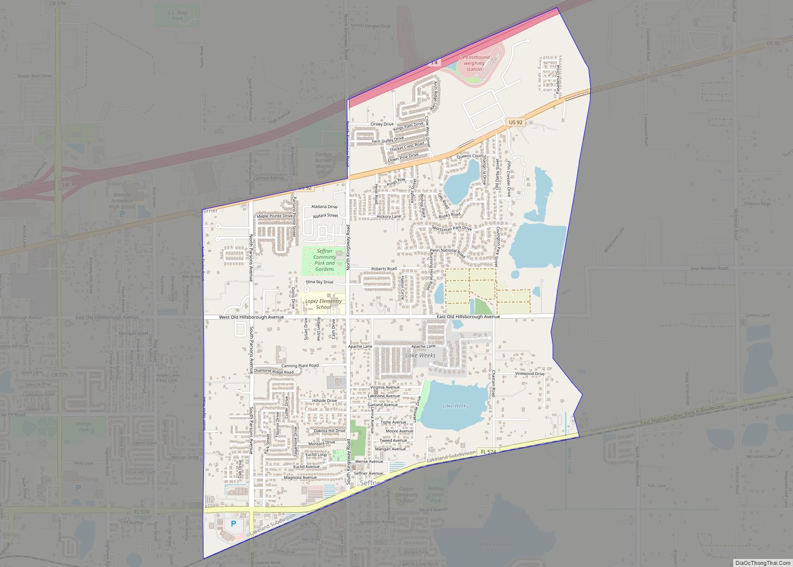
Seffner is a census-designated place (CDP) in Hillsborough County, Florida, United States. The population at the 2020 census was 8,362, up from 7,579 at the 2010 census. Located approximately 13 miles (21 km) east of downtown Tampa, Seffner is considered a suburb. Though still characterized by towering live oak trees, strawberry farms and lakes, Seffner has ... Read more
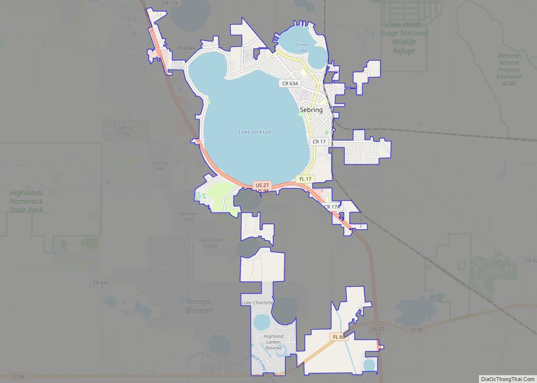
Sebring (/ˈsiːbrɪŋ/ SEE-bring) is a city in south-central Florida and is the county seat of Highlands County, Florida, United States, nicknamed “The City on the Circle”, in reference to Circle Drive, the center of the Sebring Downtown Historic District. It is the county seat of Highlands County, and is the principal city of the Sebring ... Read more
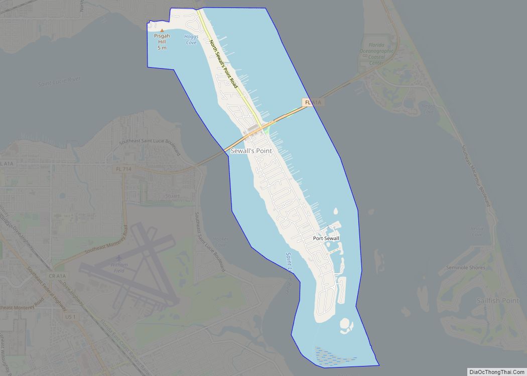
Sewall’s Point is a town located on the peninsula of the same name in Martin County, Florida, United States. The population was 1,991 at the 2020 census. Both the town and the peninsula are named for Capt. Henry Edwin Sewall (August 22, 1848 – August 1, 1925). It is an eastern suburb of Stuart, the ... Read more
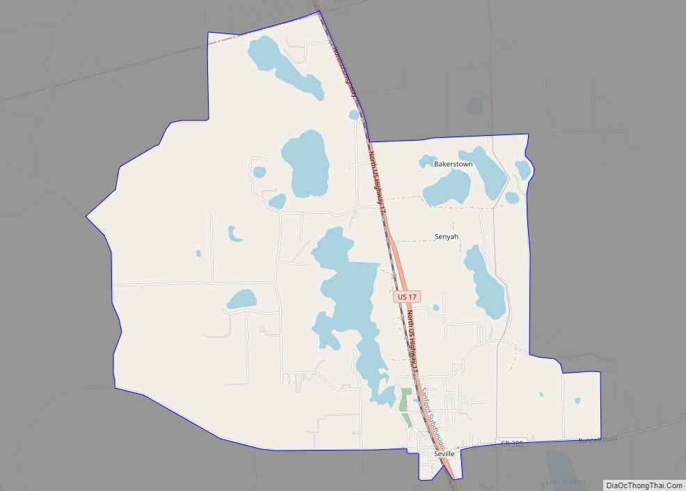
Seville is an unincorporated community and census-designated place in Volusia County, Florida, United States, founded in 1882. As of the 2010 census it had a population of 614. Seville CDP overview: Name: Seville CDP LSAD Code: 57 LSAD Description: CDP (suffix) State: Florida County: Volusia County ZIP code: 32190 Area code: 386 FIPS code: 1265200 ... Read more
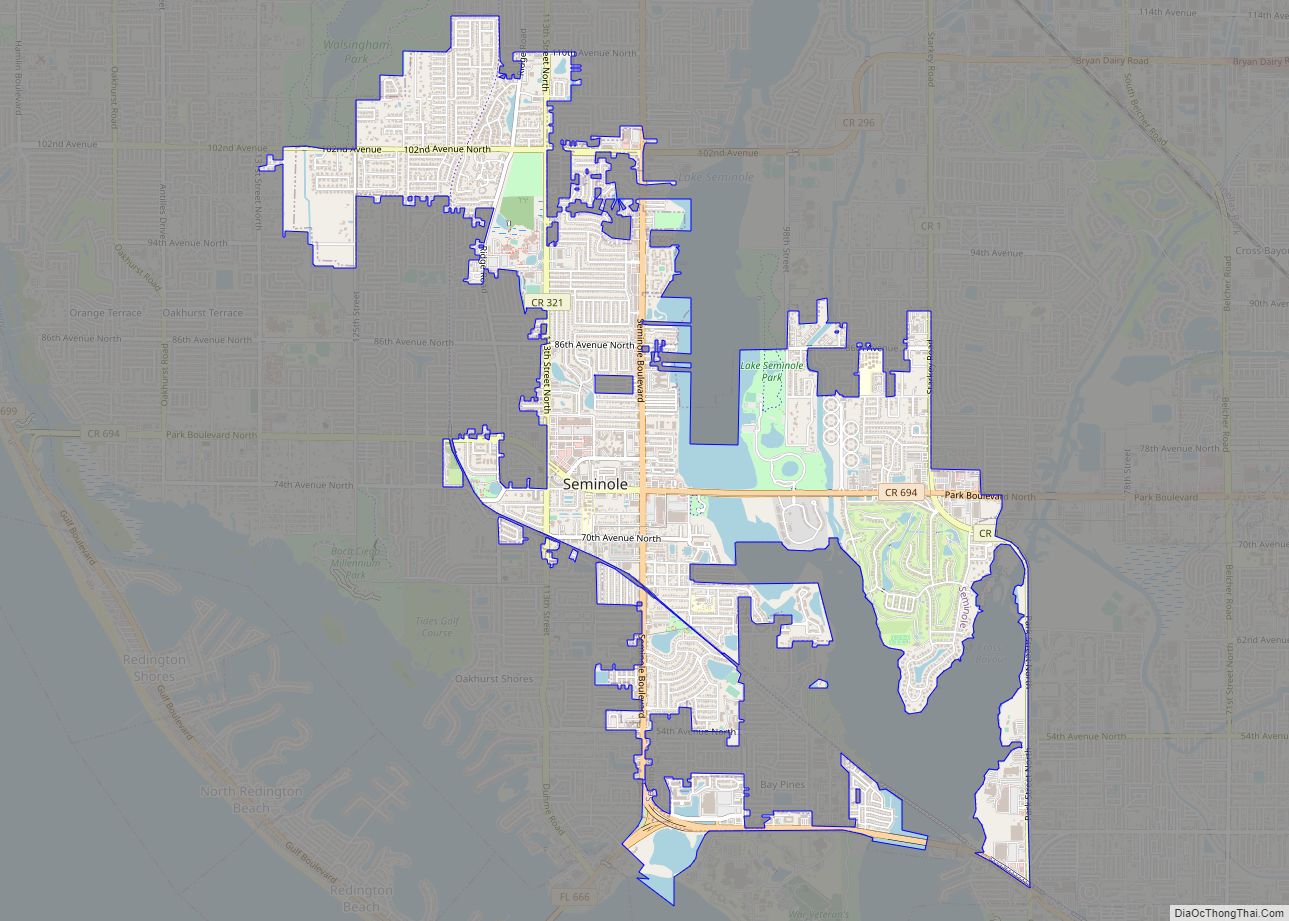
Seminole is a city in Pinellas County, Florida, United States. The population was 19,364 at the 2020 census. Seminole city overview: Name: Seminole city LSAD Code: 25 LSAD Description: city (suffix) State: Florida County: Pinellas County Elevation: 36 ft (11 m) Total Area: 5.68 sq mi (14.71 km²) Land Area: 5.18 sq mi (13.42 km²) Water Area: 0.50 sq mi (1.29 km²) Total Population: 19,364 Population ... Read more
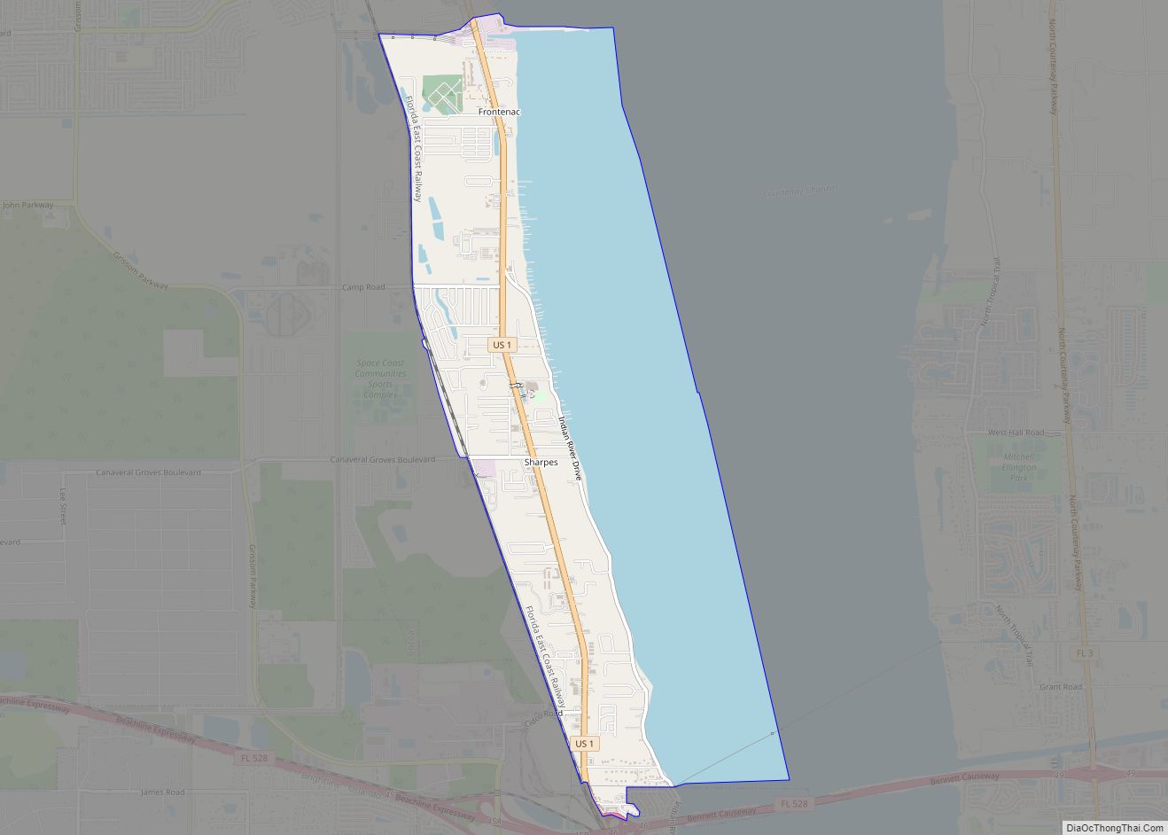
Sharpes is a census-designated place (CDP) in Brevard County, Florida. The population was 3,411 at the 2010 United States Census. It is part of the Palm Bay–Melbourne–Titusville Metropolitan Statistical Area. Sharpes CDP overview: Name: Sharpes CDP LSAD Code: 57 LSAD Description: CDP (suffix) State: Florida County: Brevard County Elevation: 20 ft (6 m) Total Area: 5.86 sq mi (15.17 km²) ... Read more
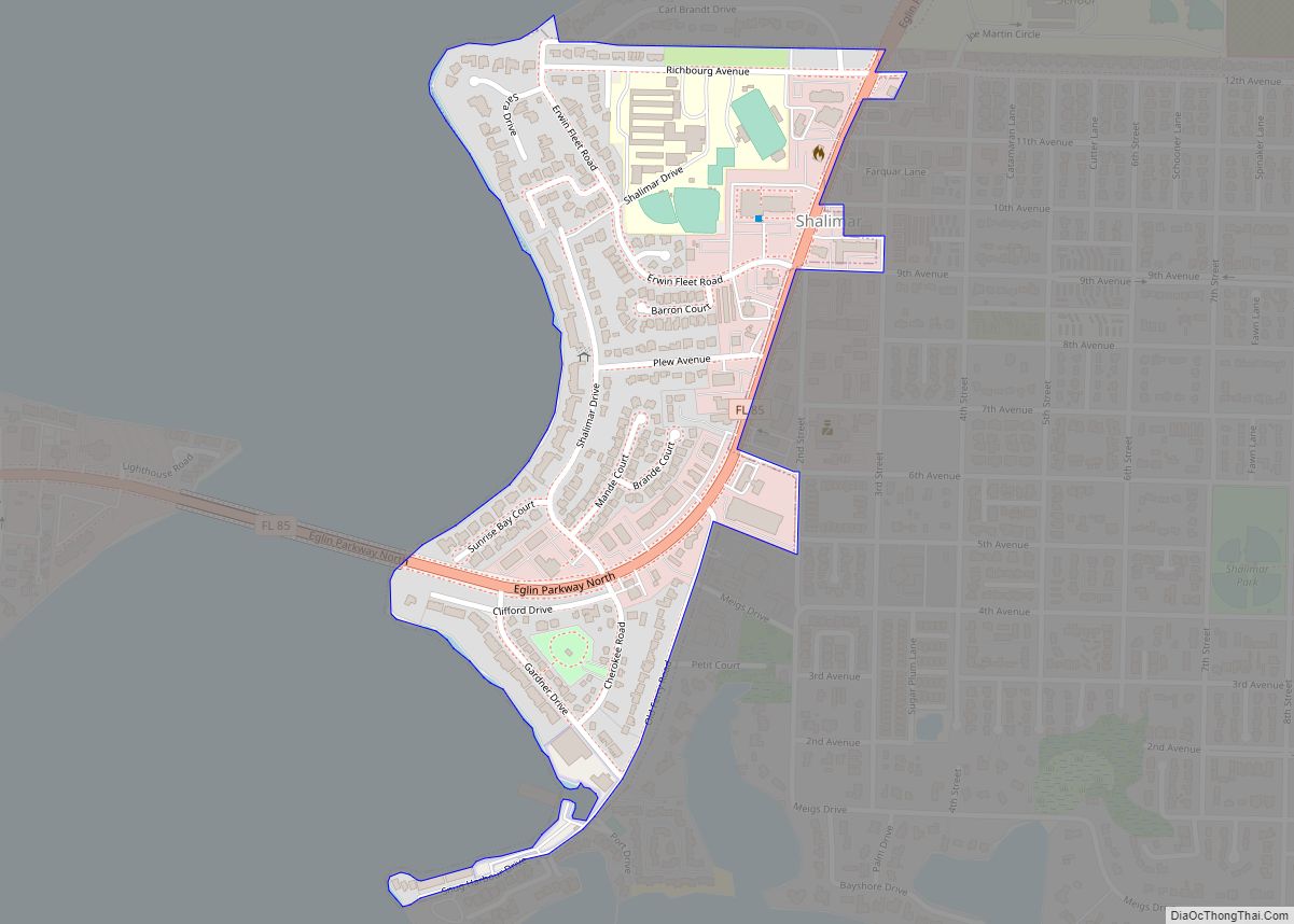
Shalimar is a town in Okaloosa County, Florida, United States. The population was 717 at the 2010 census. It is part of the Fort Walton Beach–Crestview–Destin Metropolitan Statistical Area. Shalimar town overview: Name: Shalimar town LSAD Code: 43 LSAD Description: town (suffix) State: Florida County: Okaloosa County Elevation: 13 ft (4 m) Total Area: 0.29 sq mi (0.75 km²) Land ... Read more
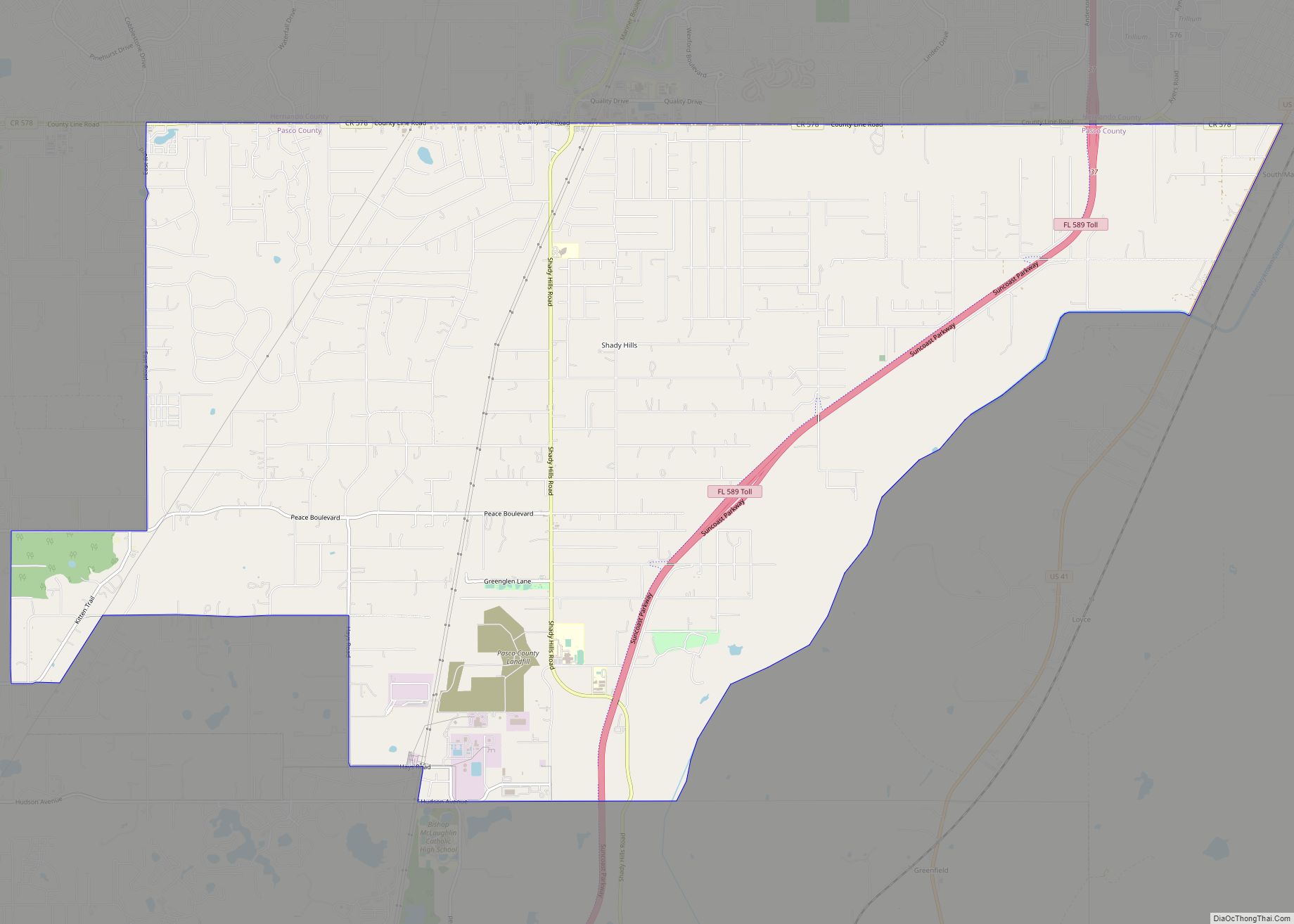
Shady Hills is a census-designated place (CDP) in Pasco County, Florida, United States. The population was 7,798 at the 2000 census. It is in the Tampa-St. Petersburg-Clearwater, Florida Metropolitan Statistical Area. It is home to an active pigeon racing group. Shady Hills CDP overview: Name: Shady Hills CDP LSAD Code: 57 LSAD Description: CDP (suffix) ... Read more
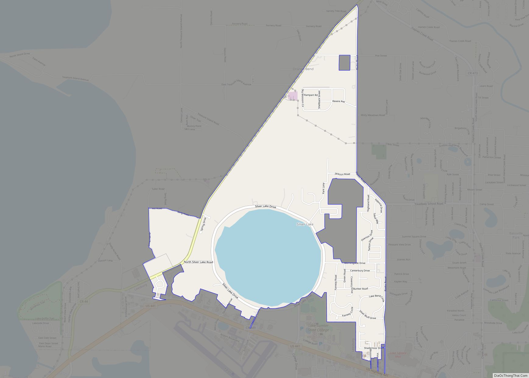
Silver Lake is a census-designated place (CDP) in Lake County, Florida, United States. The population was 1,879 at the 2010 census. It is part of the Orlando–Kissimmee Metropolitan Statistical Area. Silver Lake CDP overview: Name: Silver Lake CDP LSAD Code: 57 LSAD Description: CDP (suffix) State: Florida County: Lake County Elevation: 66 ft (20 m) Total Area: ... Read more
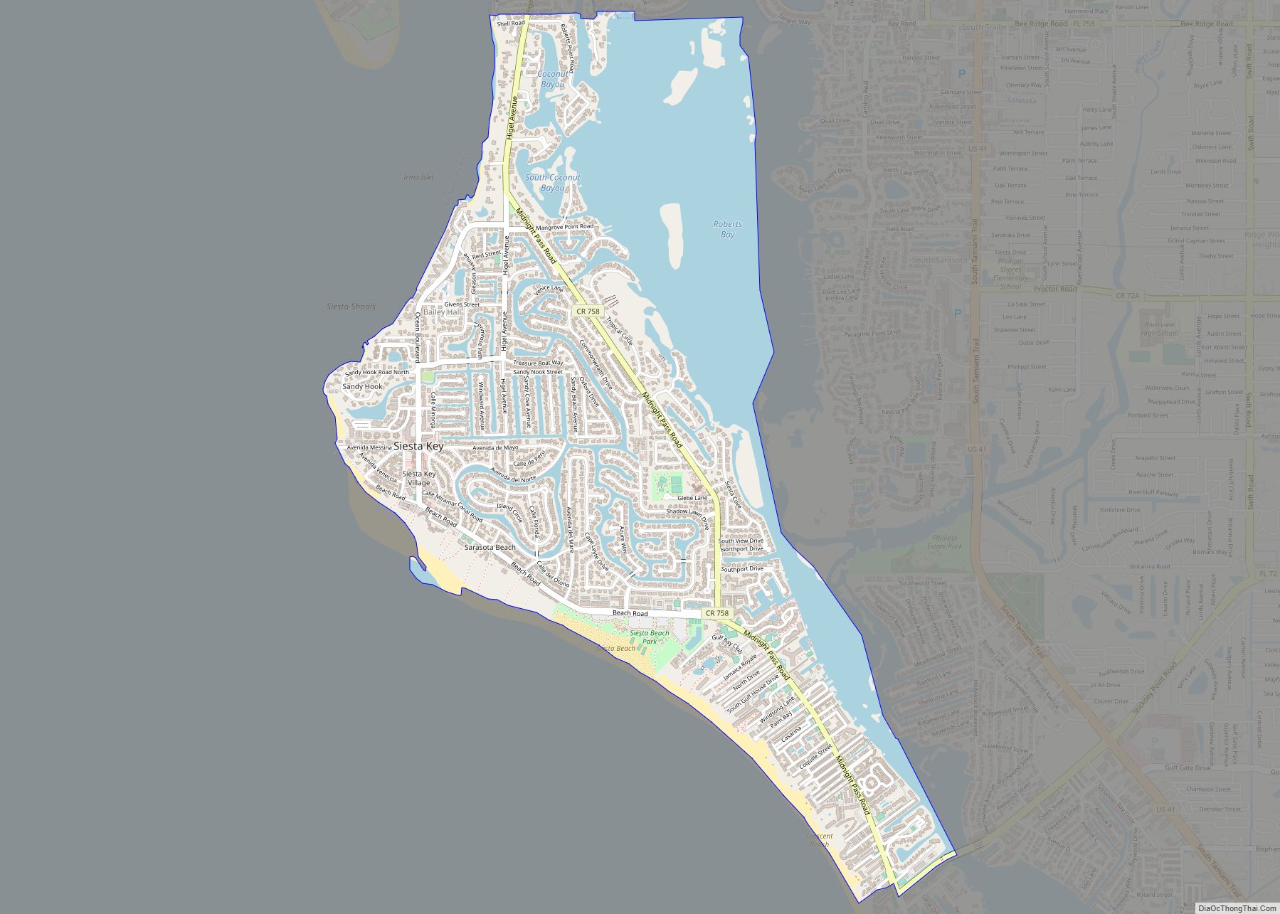
Siesta Key is a barrier island off the southwest coast of the U.S. state of Florida, located between Roberts Bay and the Gulf of Mexico. A portion of it lies within the city boundary of Sarasota, but the majority of the key is a census-designated place (CDP) in Sarasota County. Siesta Key is part of ... Read more
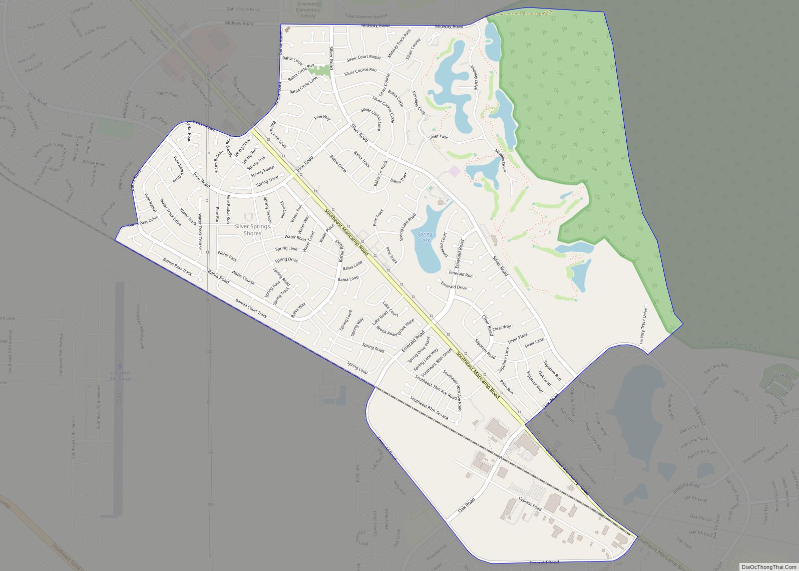
Silver Springs Shores is a census-designated place (CDP) in Marion County, Florida, United States. The population was 24,846 at the 2020 census. It is part of the Ocala Metropolitan Statistical Area. The community, often referred to by locals as simply “the shores”, serves primarily as a bedroom community for Ocala. It is the largest community ... Read more
