Seville is an unincorporated community and census-designated place in Volusia County, Florida, United States, founded in 1882. As of the 2010 census it had a population of 614.
| Name: | Seville CDP |
|---|---|
| LSAD Code: | 57 |
| LSAD Description: | CDP (suffix) |
| State: | Florida |
| County: | Volusia County |
| ZIP code: | 32190 |
| Area code: | 386 |
| FIPS code: | 1265200 |
Online Interactive Map
Click on ![]() to view map in "full screen" mode.
to view map in "full screen" mode.
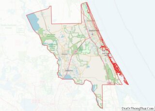
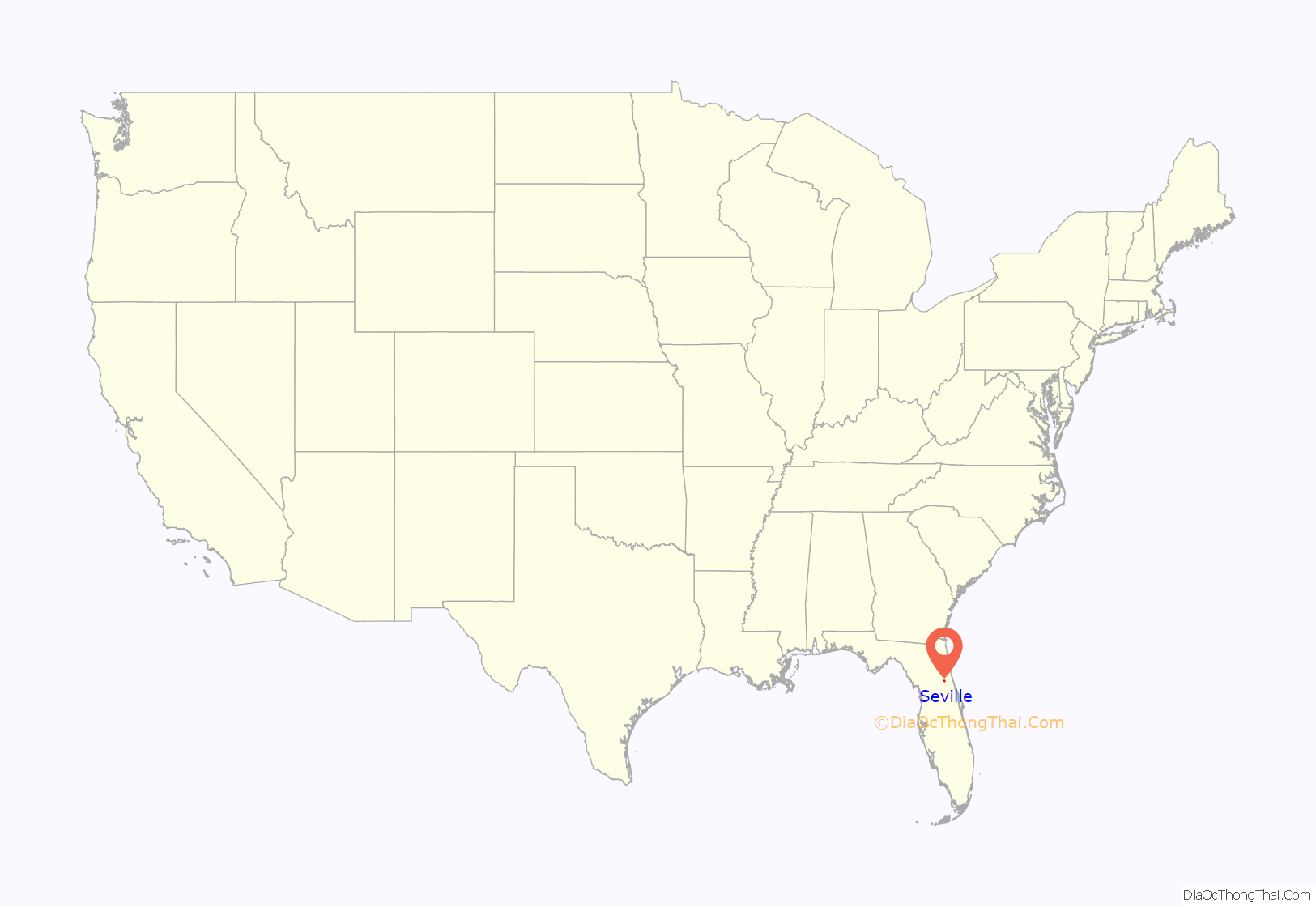
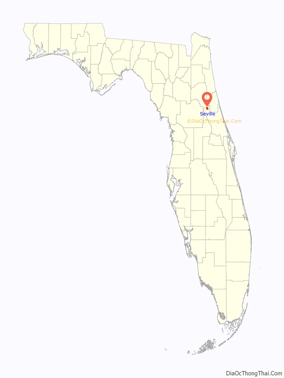
Seville location map. Where is Seville CDP?
History
William Kemble Lente, a vice president of the Jacksonville, Tampa and Key West Railway, founded the town of Seville in 1882 along the railroad right of way. Taking advantage of the location, he set about to build a community. He founded the Bank of Seville and built a large brick residence for himself. Teaming up with some northern investors, they started work on a grand hotel. Next the group built a complex water system costing $60,000. The relationship between Lente and his backers became strained and then bitter, and Lente killed himself at his Seville home in 1889. Today with limited commercial development and a largely rural/agricultural base, Seville is a quiet community just north of Pierson along U.S. Route 17.
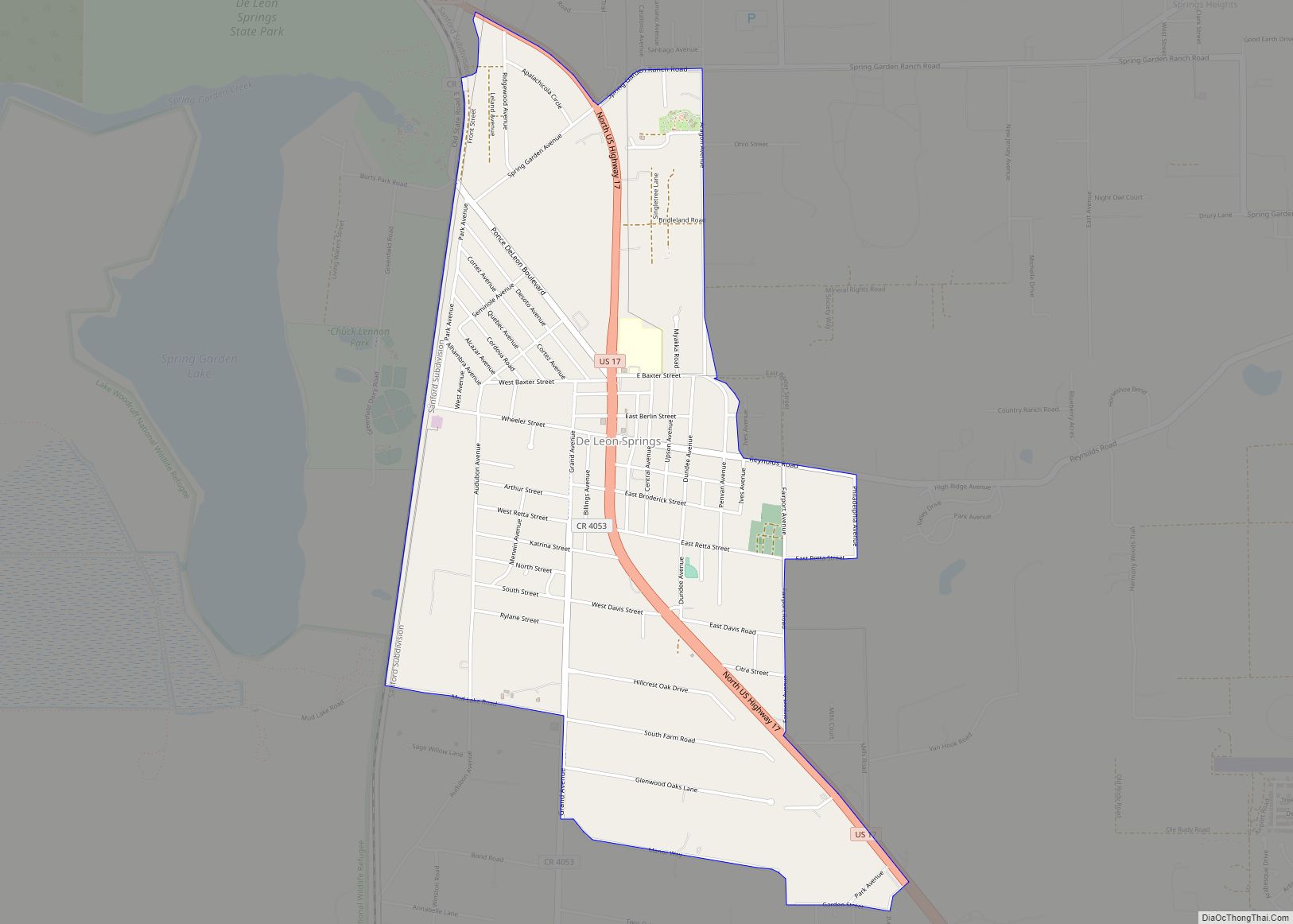
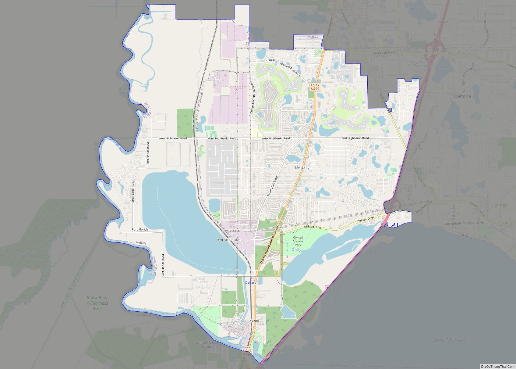
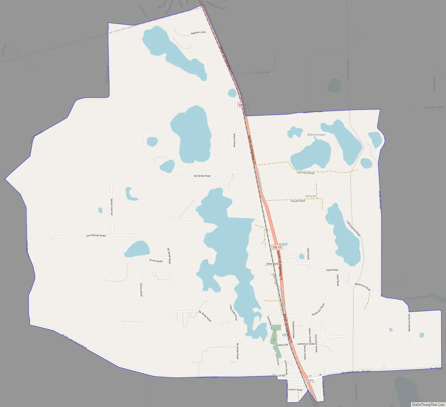
Seville Road Map
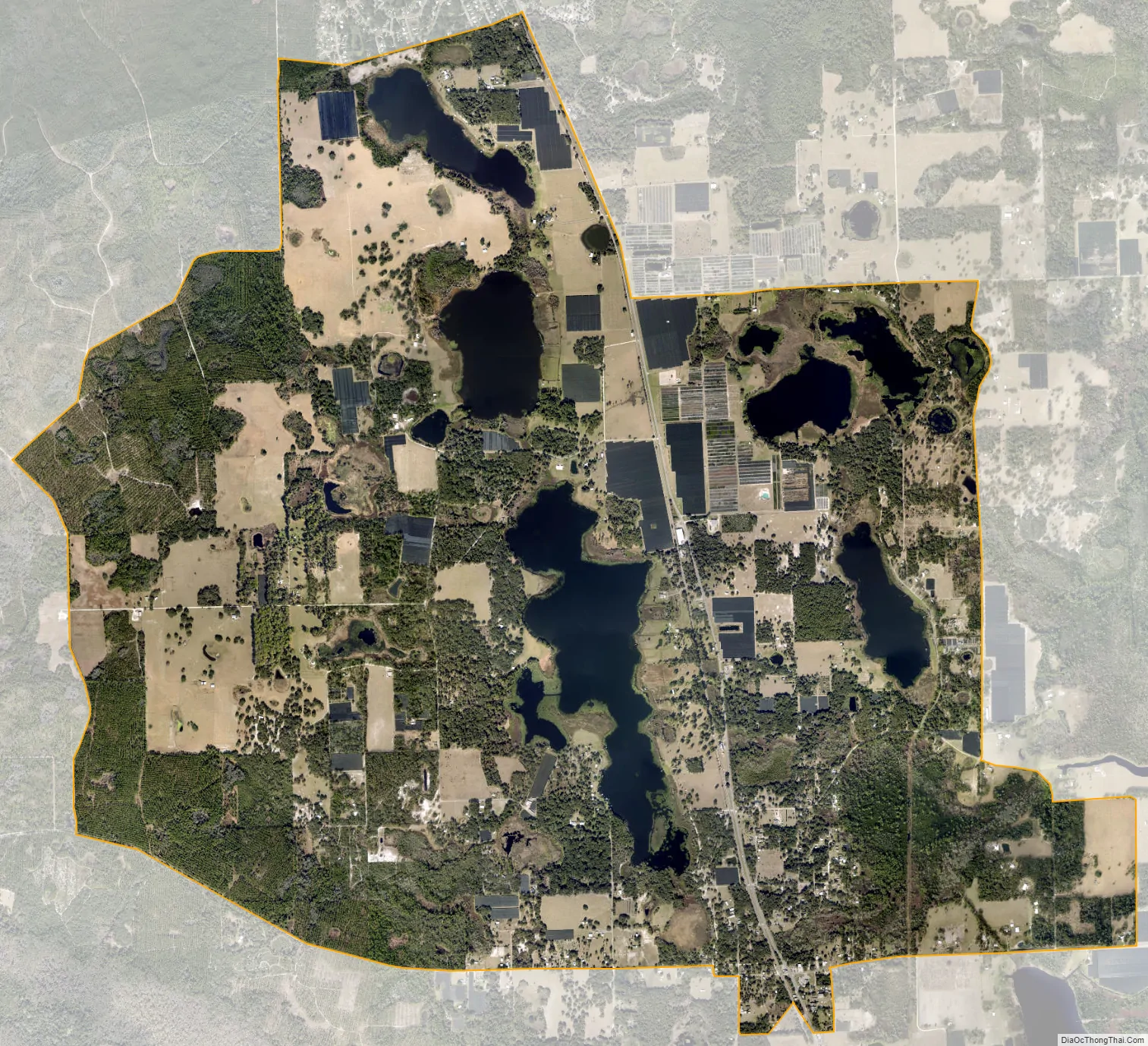
Seville city Satellite Map
See also
Map of Florida State and its subdivision:- Alachua
- Baker
- Bay
- Bradford
- Brevard
- Broward
- Calhoun
- Charlotte
- Citrus
- Clay
- Collier
- Columbia
- Desoto
- Dixie
- Duval
- Escambia
- Flagler
- Franklin
- Gadsden
- Gilchrist
- Glades
- Gulf
- Hamilton
- Hardee
- Hendry
- Hernando
- Highlands
- Hillsborough
- Holmes
- Indian River
- Jackson
- Jefferson
- Lafayette
- Lake
- Lee
- Leon
- Levy
- Liberty
- Madison
- Manatee
- Marion
- Martin
- Miami-Dade
- Monroe
- Nassau
- Okaloosa
- Okeechobee
- Orange
- Osceola
- Palm Beach
- Pasco
- Pinellas
- Polk
- Putnam
- Saint Johns
- Saint Lucie
- Santa Rosa
- Sarasota
- Seminole
- Sumter
- Suwannee
- Taylor
- Union
- Volusia
- Wakulla
- Walton
- Washington
- Alabama
- Alaska
- Arizona
- Arkansas
- California
- Colorado
- Connecticut
- Delaware
- District of Columbia
- Florida
- Georgia
- Hawaii
- Idaho
- Illinois
- Indiana
- Iowa
- Kansas
- Kentucky
- Louisiana
- Maine
- Maryland
- Massachusetts
- Michigan
- Minnesota
- Mississippi
- Missouri
- Montana
- Nebraska
- Nevada
- New Hampshire
- New Jersey
- New Mexico
- New York
- North Carolina
- North Dakota
- Ohio
- Oklahoma
- Oregon
- Pennsylvania
- Rhode Island
- South Carolina
- South Dakota
- Tennessee
- Texas
- Utah
- Vermont
- Virginia
- Washington
- West Virginia
- Wisconsin
- Wyoming