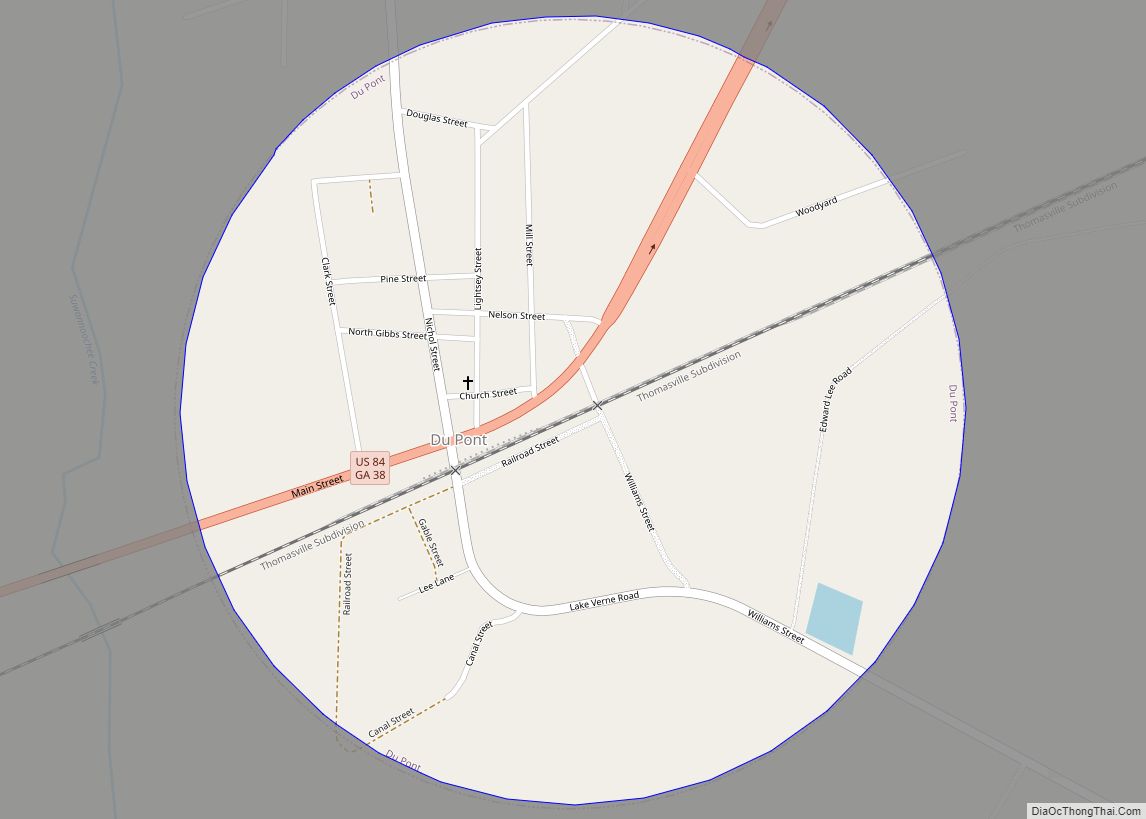
Du Pont is a town in Clinch County, Georgia, United States. The population was 120 at the 2010 census. According to the 1916 History of Clinch County the town was first settled around 1856 as Lawton, on the route of the newly chartered Atlantic and Gulf Railroad. During the Civil War, a branch line from ... Read more
Georgia Cities and Places
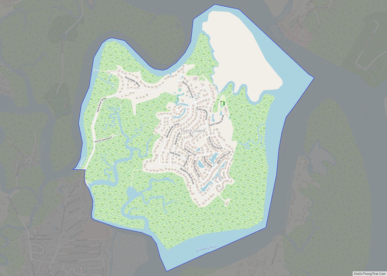
Dutch Island is a census-designated place (CDP) in Chatham County, Georgia, United States. It is part of the Savannah Metropolitan Statistical Area, and at the 2020 census, its population was 1,238. Dutch Island CDP overview: Name: Dutch Island CDP LSAD Code: 57 LSAD Description: CDP (suffix) State: Georgia County: Chatham County Elevation: 10 ft (3 m) Total ... Read more
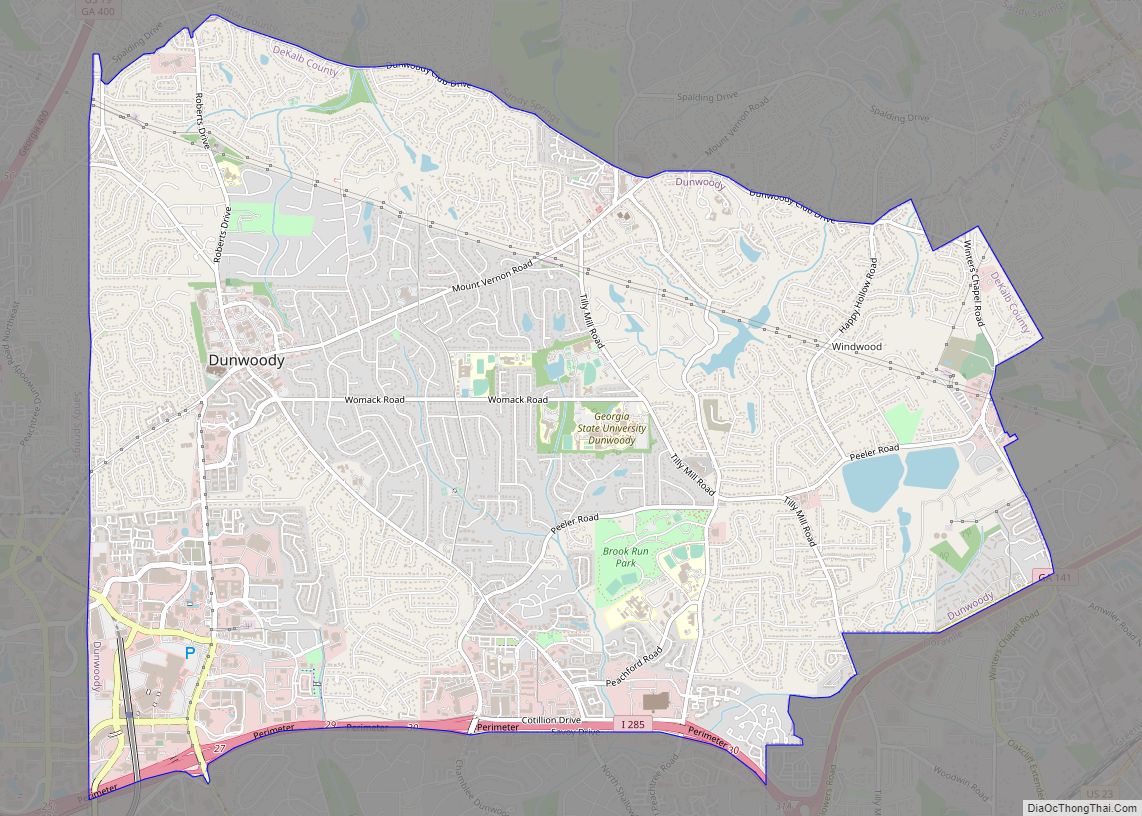
Dunwoody is a city located in DeKalb County, Georgia, United States. As a northern suburb of Atlanta, Dunwoody is part of the Atlanta metropolitan area. It was incorporated as a city on December 1, 2008 but its area establishment dates back to the early 1830s. As of 2019, the city has a population of 49,356, ... Read more
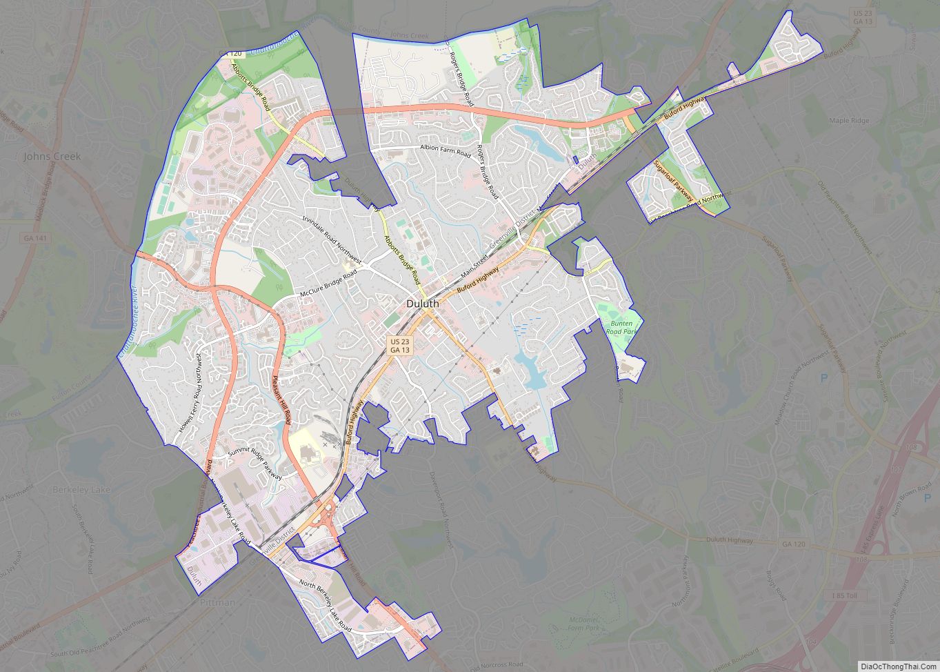
Duluth is a city in Gwinnett County, Georgia, United States. Located north of Interstate 85, it is approximately 22 miles (35 km) northeast of Atlanta. As of the 2020 census, Duluth had a population of 31,873, and the United States Census Bureau estimated the population to be 31,864 as of 2021. This Atlanta suburb is home ... Read more
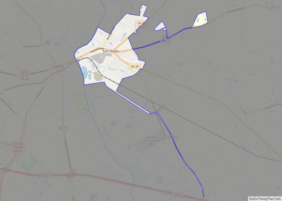
East Dublin is a city in Laurens County, Georgia, United States. The population was 2,441 at the 2010 census. It is part of the Dublin Micropolitan Statistical Area. East Dublin city overview: Name: East Dublin city LSAD Code: 25 LSAD Description: city (suffix) State: Georgia County: Laurens County Elevation: 249 ft (76 m) Total Area: 4.41 sq mi (11.43 km²) ... Read more
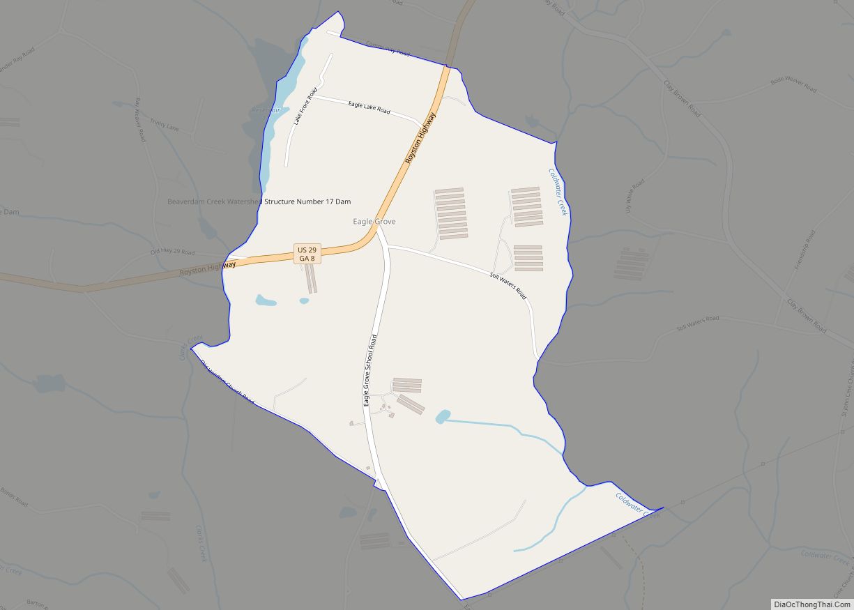
Eagle Grove is a census-designated place and unincorporated community in Hart County, Georgia, United States. Its population was 139 as of the 2020 census. U.S. Route 29 passes through the community. Eagle Grove CDP overview: Name: Eagle Grove CDP LSAD Code: 57 LSAD Description: CDP (suffix) State: Georgia County: Hart County Elevation: 823 ft (251 m) Total ... Read more
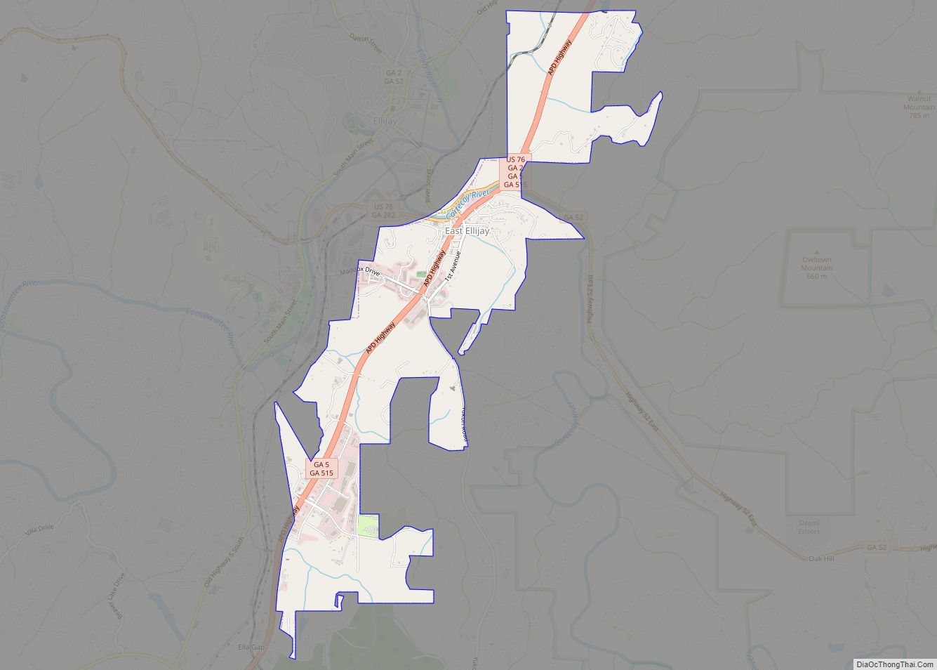
East Ellijay is a city in Gilmer County, Georgia, United States. The population was 546 at the 2010 census, down from 707 in 2000. East Ellijay was originally the location of Fort Hetzel, one of the Cherokee removal forts built in 1838 to house the Cherokee people before sending them on the “Trail of Tears”. ... Read more
East Point is a suburban city located southwest of Atlanta in Fulton County, Georgia, United States. As of the 2020 census, the city had a population of 38,358. The city name is derived from being at the opposite end of the former Atlanta & West Point Railroad from West Point. East Point city overview: Name: ... Read more
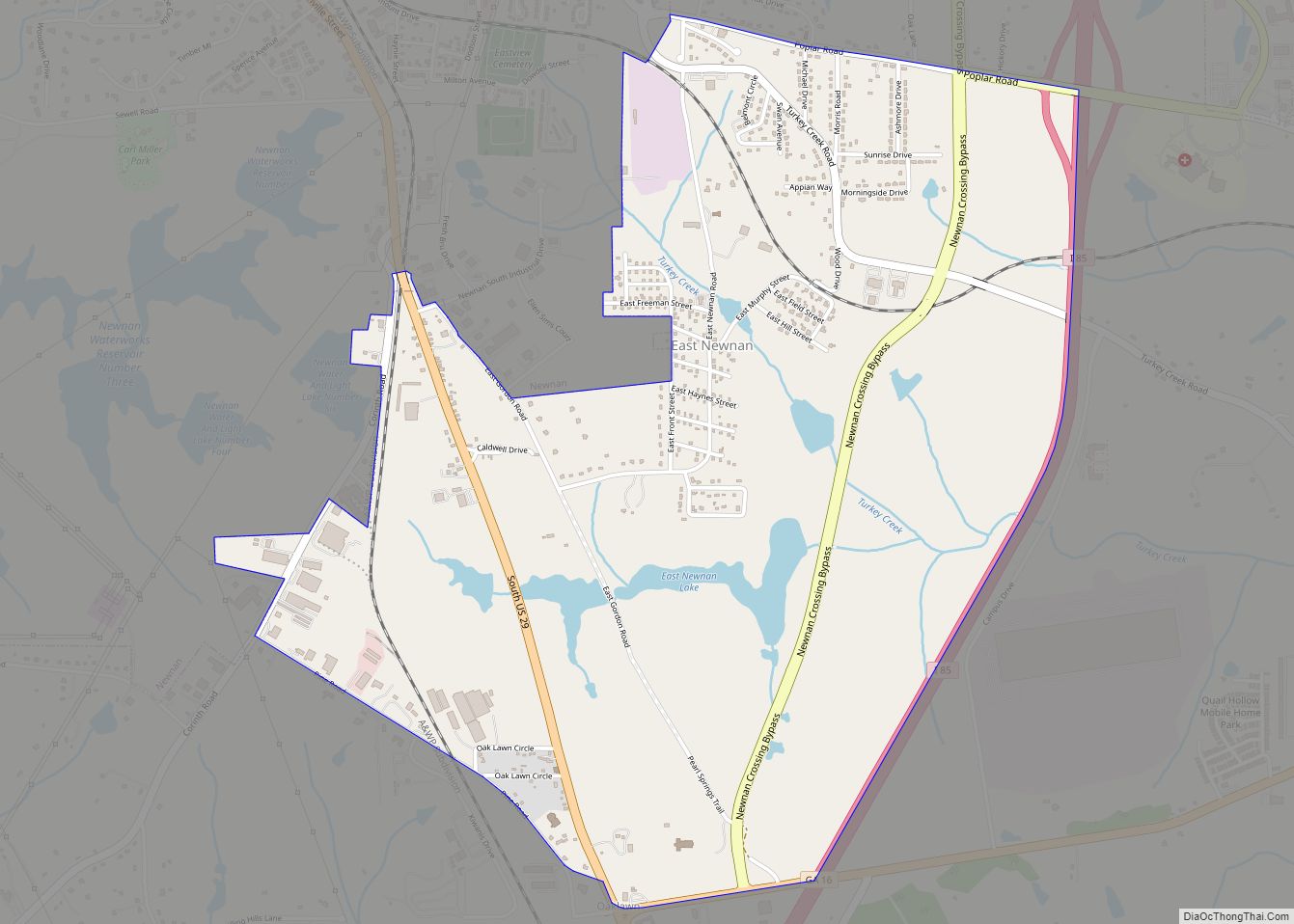
East Newnan is a census-designated place (CDP) in Coweta County, Georgia, United States. The population was 1,321 at the 2010 census. East Newnan CDP overview: Name: East Newnan CDP LSAD Code: 57 LSAD Description: CDP (suffix) State: Georgia County: Coweta County Elevation: 906 ft (276 m) Total Area: 2.92 sq mi (7.56 km²) Land Area: 2.83 sq mi (7.32 km²) Water Area: 0.09 sq mi ... Read more
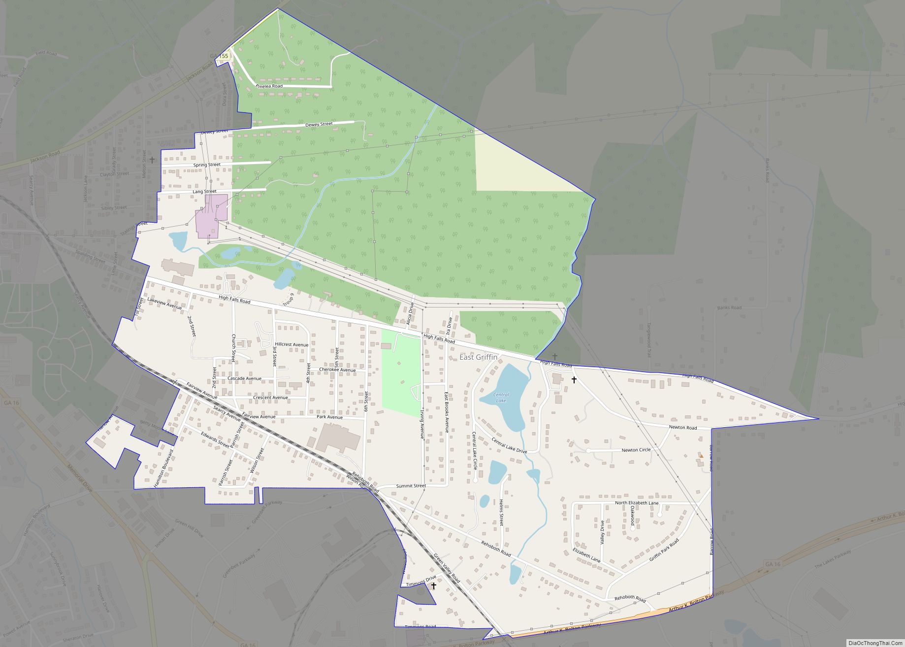
East Griffin is a census-designated place (CDP) in Spalding County, Georgia, United States. The population was 1,635 at the 2000 census. East Griffin CDP overview: Name: East Griffin CDP LSAD Code: 57 LSAD Description: CDP (suffix) State: Georgia County: Spalding County Elevation: 873 ft (266 m) Total Area: 1.45 sq mi (3.76 km²) Land Area: 1.43 sq mi (3.70 km²) Water Area: 0.02 sq mi ... Read more
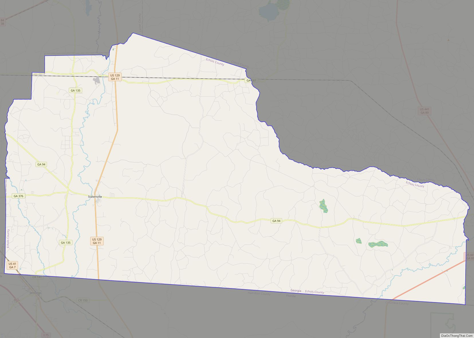
Echols County (/ˈɛkʊz/) is a county located in the southeastern part of the U.S. state of Georgia. As of the 2020 census, the population was 3,697. The county seat is Statenville. Statenville is a disincorporated municipality. Echols and Webster counties are the only two counties in Georgia to currently have no incorporated municipalities. The county ... Read more
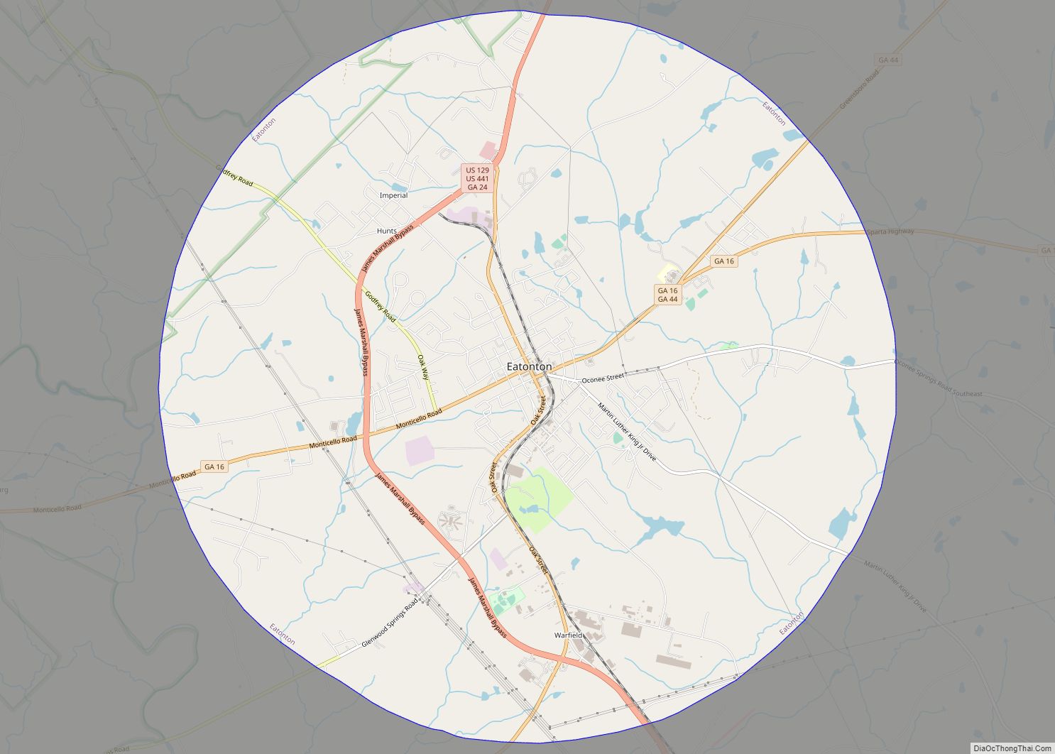
Eatonton is a city in and county seat of Putnam County, Georgia, United States. As of the 2020 census, the city had a population of 6,307. It was named after William Eaton, an officer and diplomat involved in the First Barbary War. The name consists of his surname with the English suffix “ton,” meaning “town”. ... Read more
