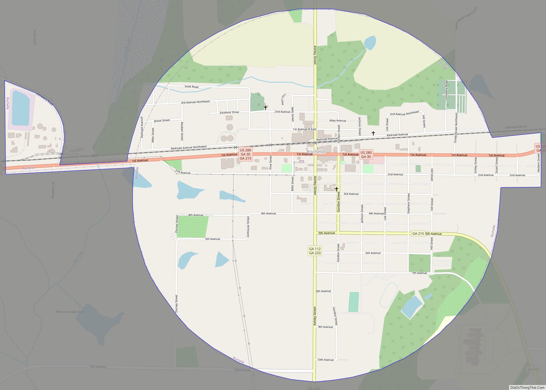
Rochelle is a city in Wilcox County, Georgia, United States. Per the 2020 census, the population was 1,167. Rochelle city overview: Name: Rochelle city LSAD Code: 25 LSAD Description: city (suffix) State: Georgia County: Wilcox County Elevation: 367 ft (112 m) Total Area: 1.91 sq mi (4.94 km²) Land Area: 1.91 sq mi (4.94 km²) Water Area: 0.00 sq mi (0.00 km²) Total Population: 1,167 Population ... Read more
Georgia Cities and Places
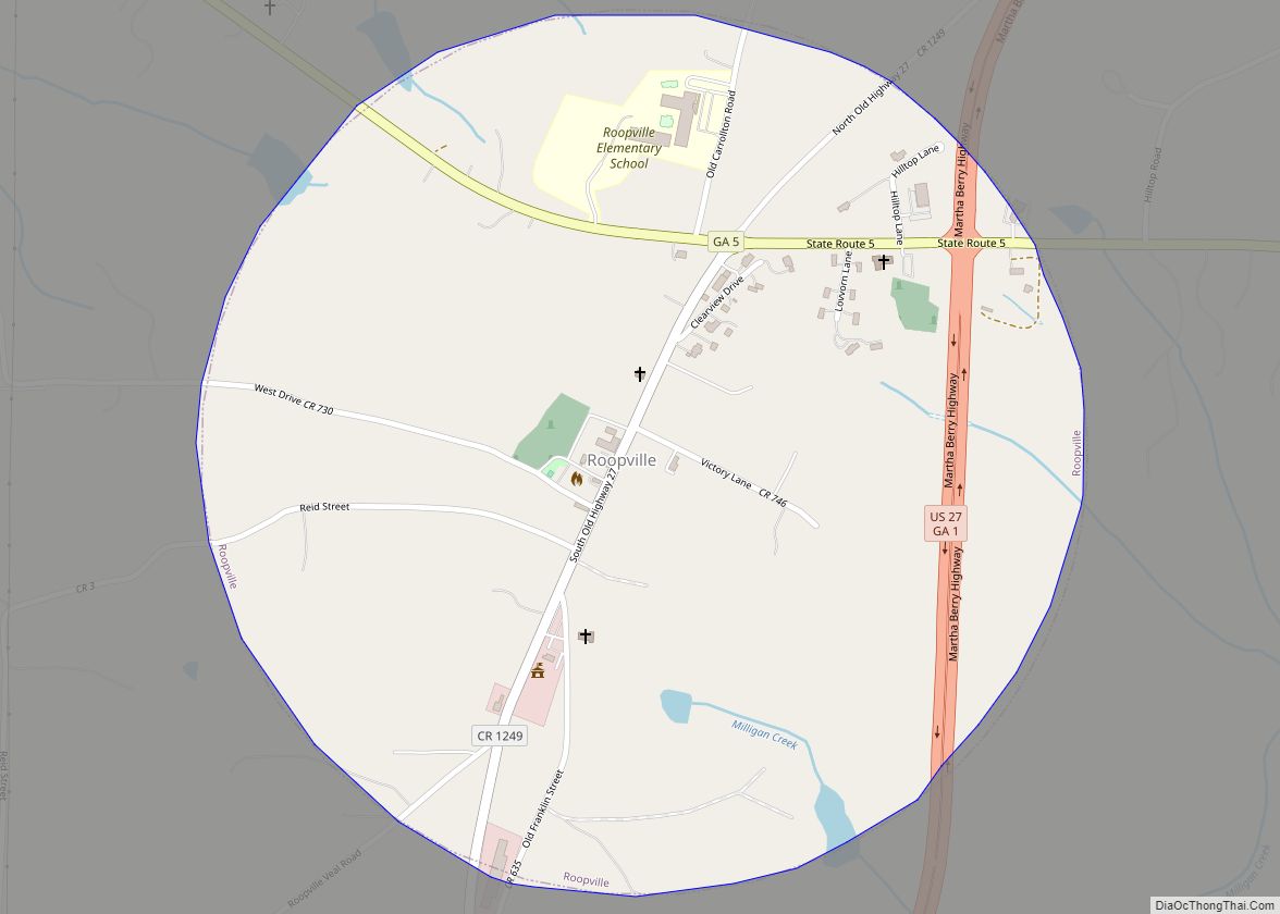
Roopville is a town in Carroll County, Georgia, United States. The population was 218 at the 2010 census. Roopville town overview: Name: Roopville town LSAD Code: 43 LSAD Description: town (suffix) State: Georgia County: Carroll County Elevation: 1,247 ft (380 m) Total Area: 0.79 sq mi (2.05 km²) Land Area: 0.79 sq mi (2.05 km²) Water Area: 0.00 sq mi (0.00 km²) Total Population: 231 Population ... Read more
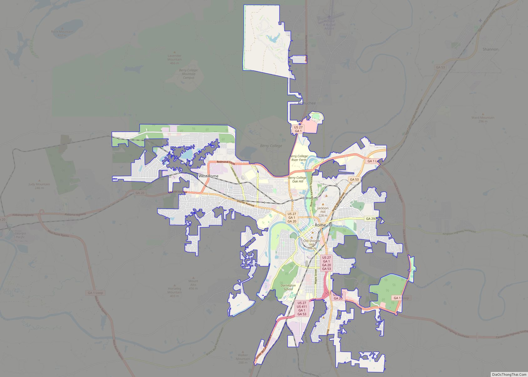
Rome is the largest city in and the county seat of Floyd County, Georgia, United States. Located in the foothills of the Appalachian Mountains, it is the principal city of the Rome, Georgia, metropolitan statistical area, which encompasses all of Floyd County. At the 2020 census, the city had a population of 37,713. It is ... Read more
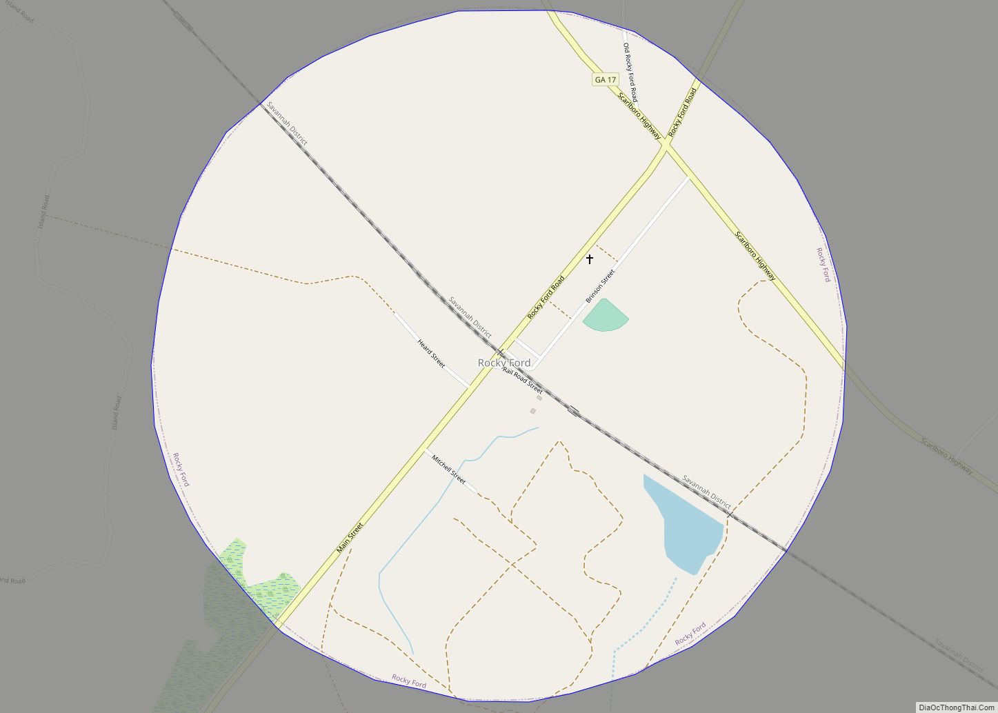
Rocky Ford is a town in Screven County, Georgia, United States. The population was 167 at the 2020 census. Rocky Ford town overview: Name: Rocky Ford town LSAD Code: 43 LSAD Description: town (suffix) State: Georgia County: Screven County Elevation: 131 ft (40 m) Total Area: 1.24 sq mi (3.21 km²) Land Area: 1.21 sq mi (3.14 km²) Water Area: 0.03 sq mi (0.07 km²) Total ... Read more
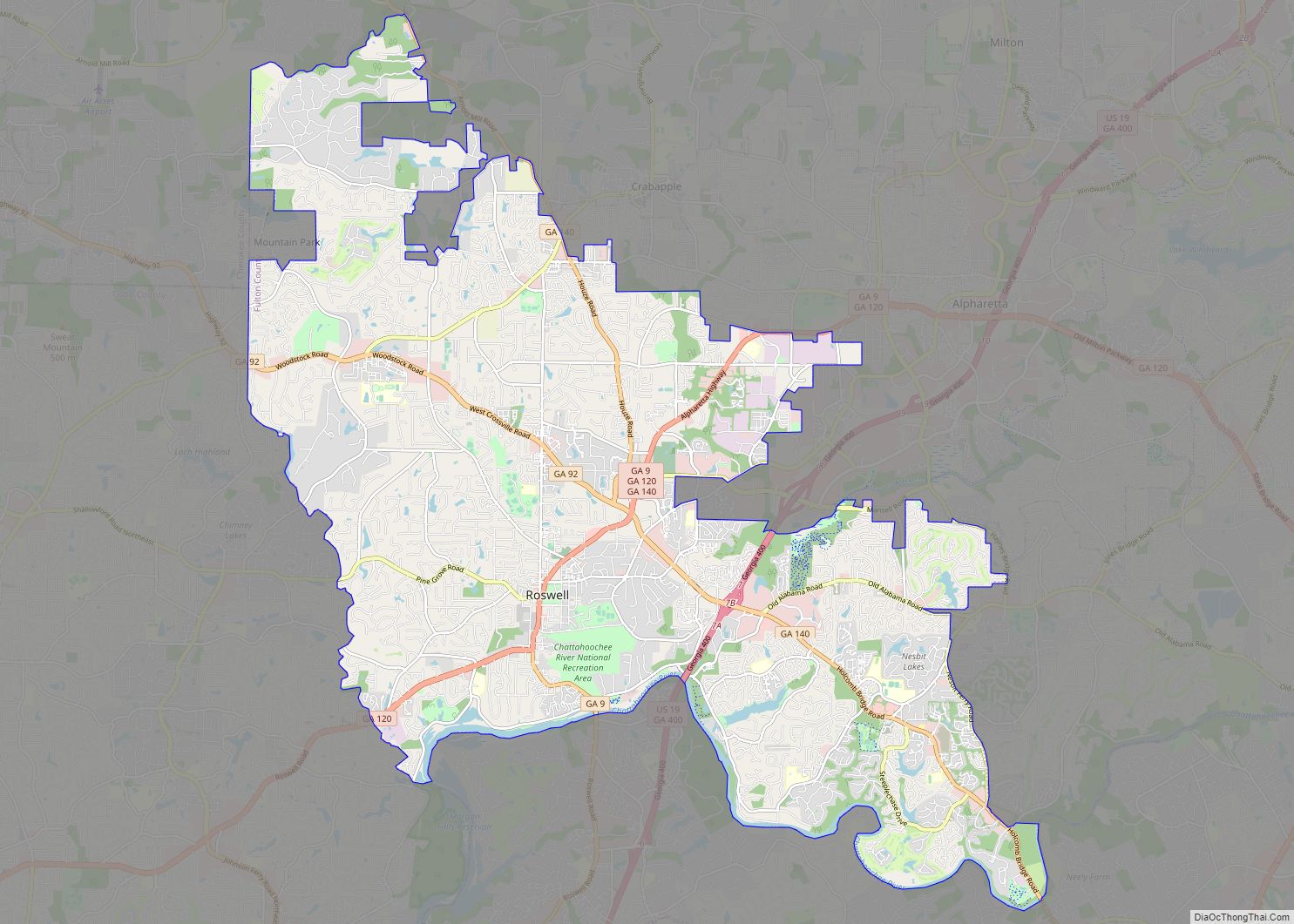
Roswell is a city in northern Fulton County, Georgia, United States. At the official 2010 census, the city had a population of 88,346. The 2020 estimated population was 94,884, making Roswell the state’s ninth largest city. A close suburb of Atlanta, Roswell has an affluent historic district. Roswell city overview: Name: Roswell city LSAD Code: ... Read more
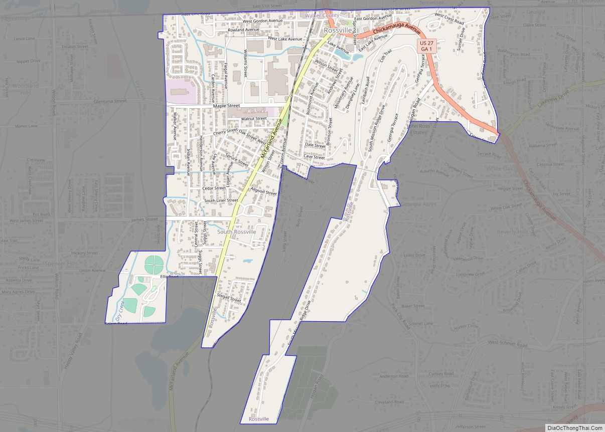
Rossville is a city in Walker County, Georgia, United States. The population was 3,980 at the 2020 census. It is part of the Chattanooga, TN–GA Metropolitan Statistical Area. Rossville city overview: Name: Rossville city LSAD Code: 25 LSAD Description: city (suffix) State: Georgia County: Walker County Elevation: 699 ft (213 m) Total Area: 1.81 sq mi (4.68 km²) Land Area: ... Read more
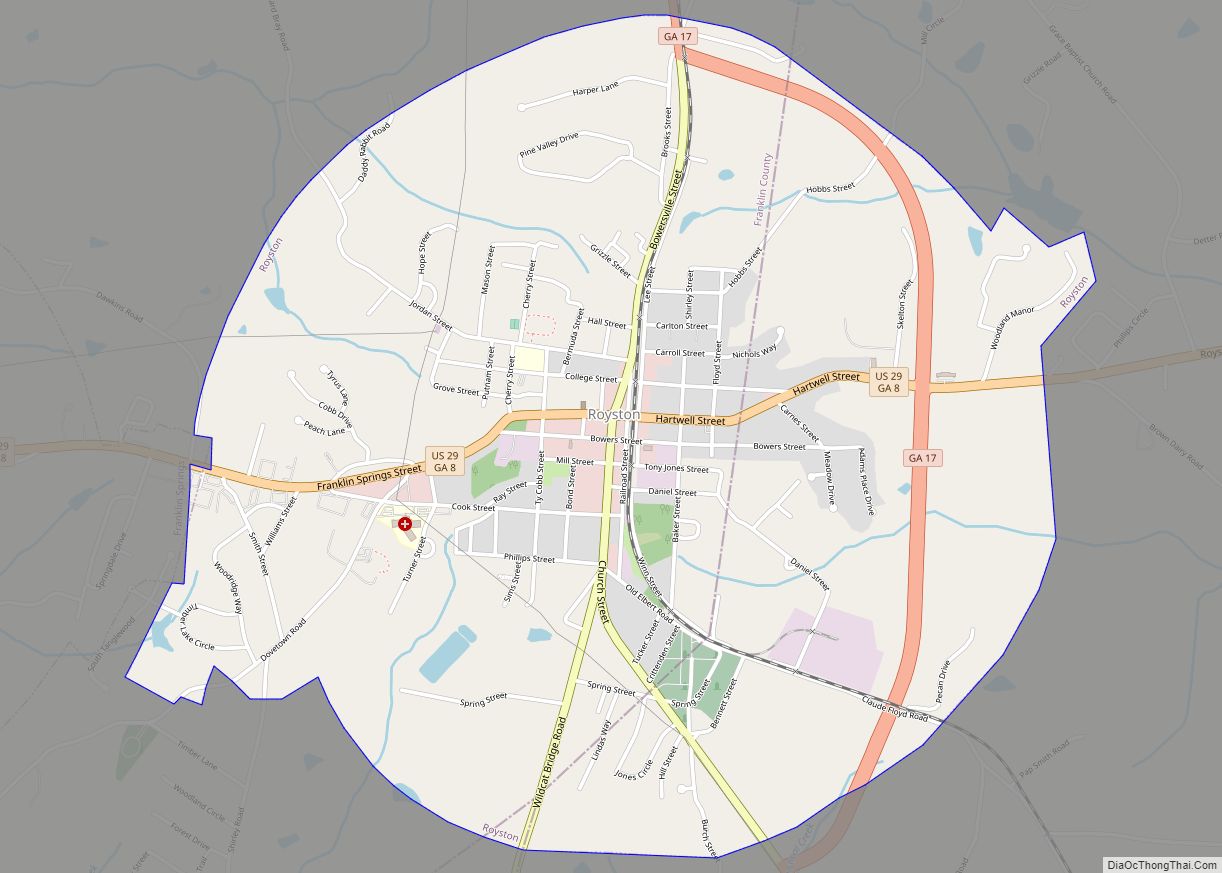
Royston is a city in Franklin, Hart, and Madison counties in the U.S. state of Georgia. The population was 2,649 at the 2020 census. Royston city overview: Name: Royston city LSAD Code: 25 LSAD Description: city (suffix) State: Georgia County: Franklin County, Hart County, Madison County Elevation: 899 ft (274 m) Total Area: 3.30 sq mi (8.54 km²) Land Area: ... Read more
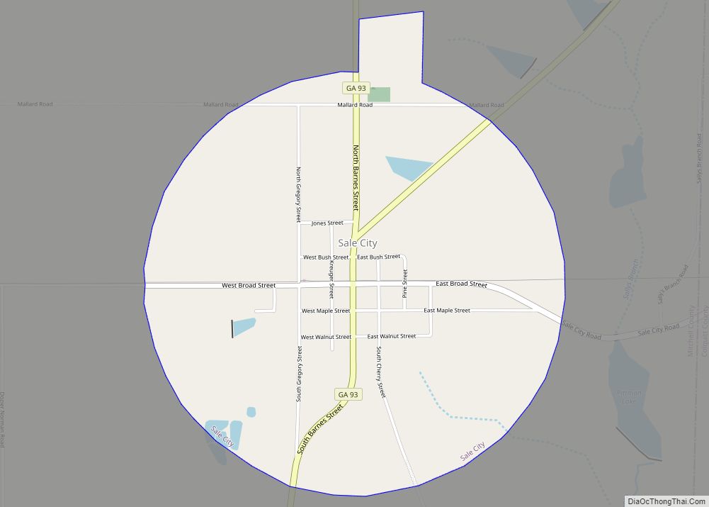
Sale City is a town in Mitchell County, Georgia, United States. The population was 354 at the 2020 census. Sale City city overview: Name: Sale City city LSAD Code: 25 LSAD Description: city (suffix) State: Georgia County: Mitchell County Elevation: 358 ft (109 m) Total Area: 1.84 sq mi (4.75 km²) Land Area: 1.83 sq mi (4.75 km²) Water Area: 0.00 sq mi (0.00 km²) Total ... Read more
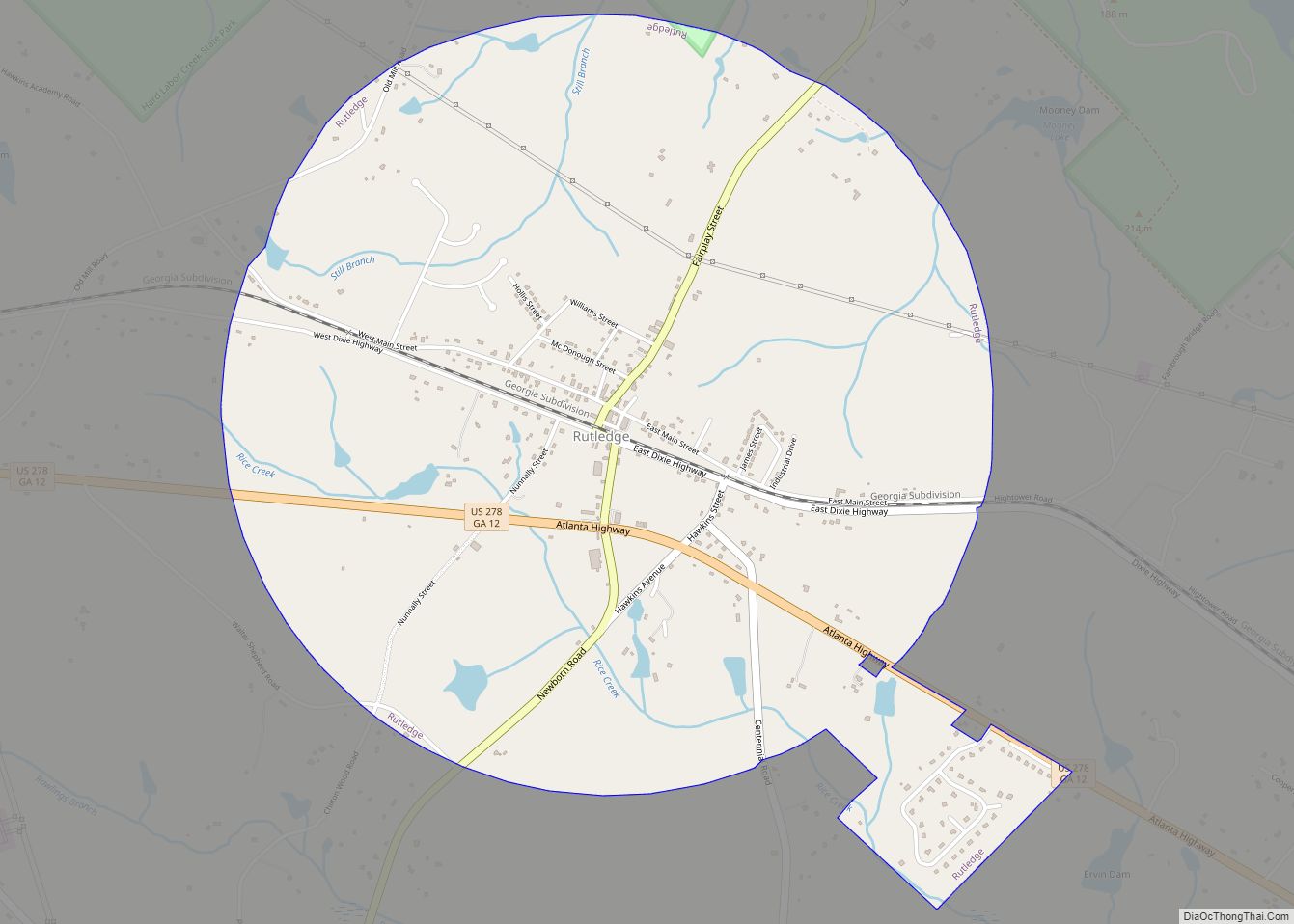
Rutledge is a city in Morgan County, Georgia, United States. Founded in 1871, the city had a population of 871 at the 2020 census, up from 781 in 2010. Rutledge city overview: Name: Rutledge city LSAD Code: 25 LSAD Description: city (suffix) State: Georgia County: Morgan County Elevation: 712 ft (217 m) Total Area: 3.32 sq mi (8.60 km²) Land ... Read more
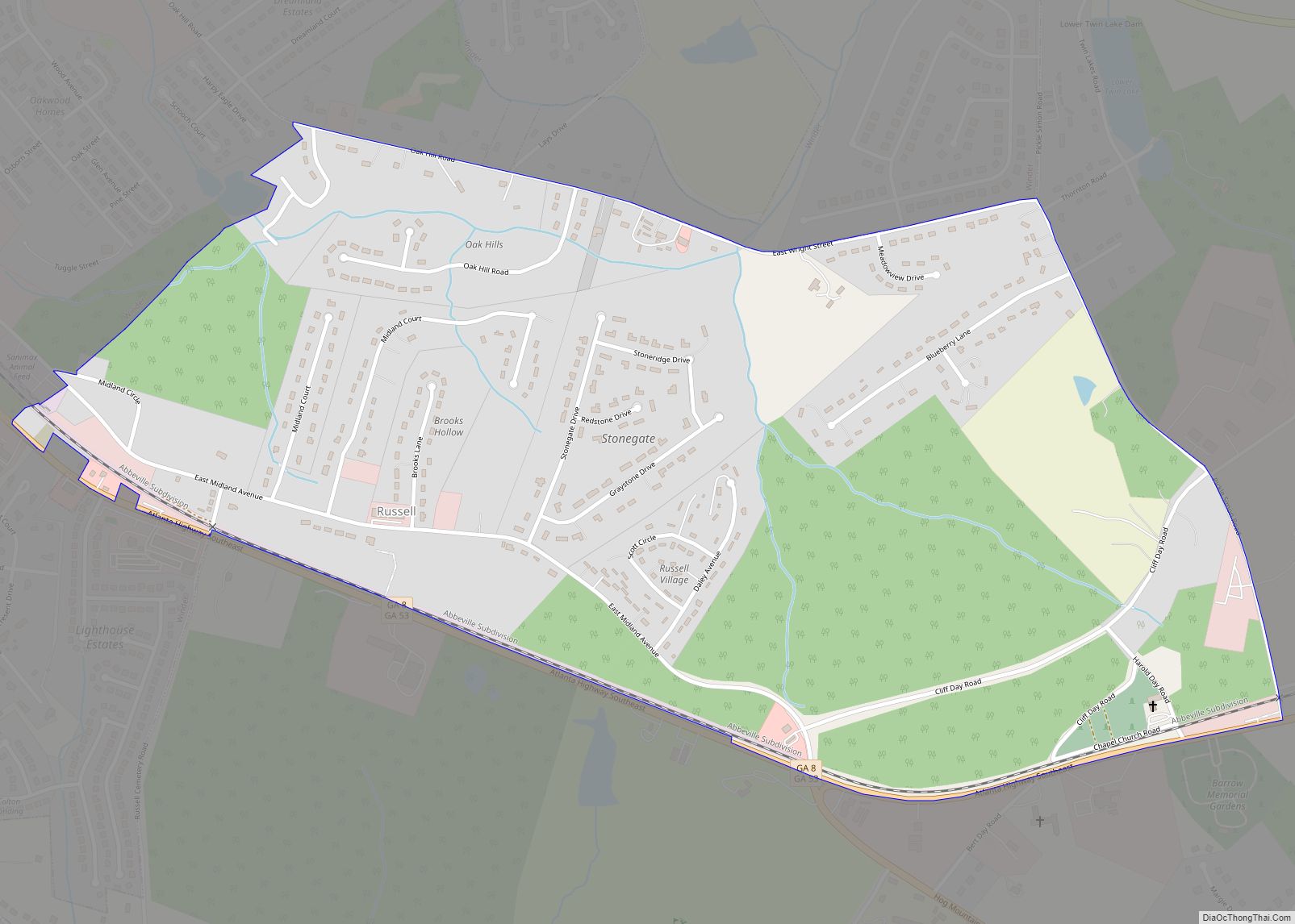
Russell is an unincorporated community and census-designated place in Barrow County, Georgia, United States. The population was 1,203 at the 2010 census. Russell CDP overview: Name: Russell CDP LSAD Code: 57 LSAD Description: CDP (suffix) State: Georgia County: Barrow County Elevation: 980 ft (300 m) Total Area: 1.16 sq mi (3.01 km²) Land Area: 1.16 sq mi (3.01 km²) Water Area: 0.00 sq mi (0.00 km²) ... Read more
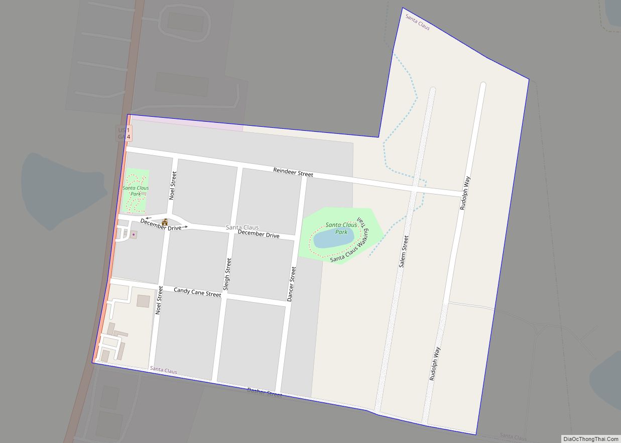
Santa Claus is a city in Toombs County, Georgia, United States. The population was 165 at the 2010 census. It is part of the Vidalia Micropolitan Statistical Area. The city has several Christmas-themed street names: Candy Cane Road, December Drive, Rudolph Way, Dancer Street, Prancer Street, and Sleigh Street. Santa Claus city overview: Name: Santa ... Read more
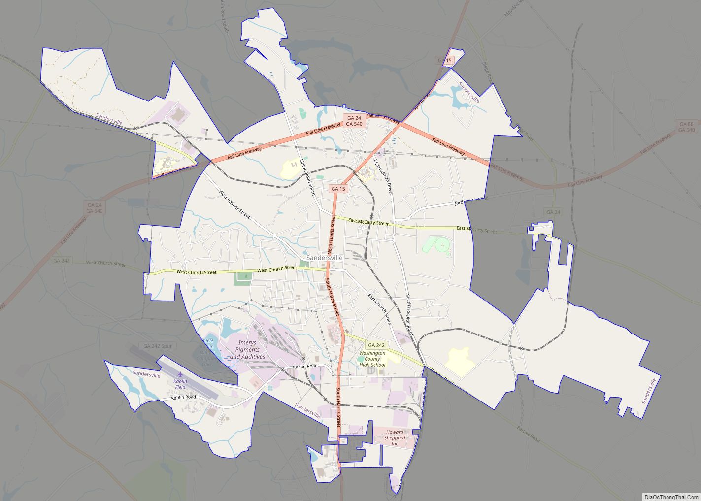
The city of Sandersville is the county seat of Washington County, Georgia, United States. The population was 5,912 at the 2010 census. It is also a part of the Central Savannah River Area. Sandersville is known as the “Kaolin Capital of the World” due to its abundance of kaolin. Sandersville city overview: Name: Sandersville city ... Read more
