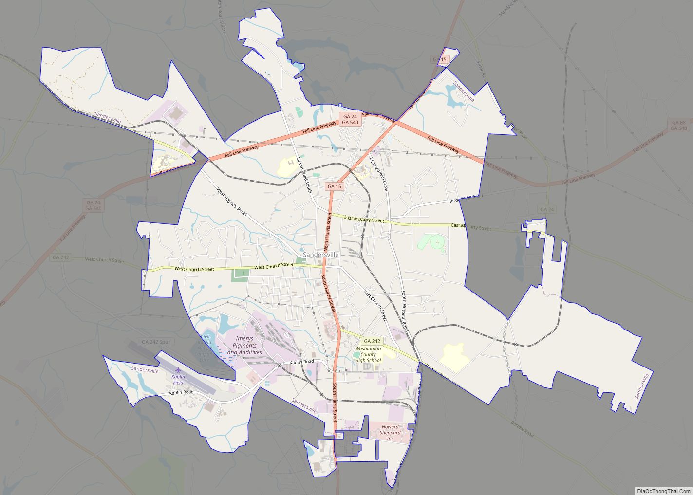
The city of Sandersville is the county seat of Washington County, Georgia, United States. The population was 5,912 at the 2010 census. It is also a part of the Central Savannah River Area.
Sandersville is known as the “Kaolin Capital of the World” due to its abundance of kaolin.
| Name: | Sandersville city |
|---|---|
| LSAD Code: | 25 |
| LSAD Description: | city (suffix) |
| State: | Georgia |
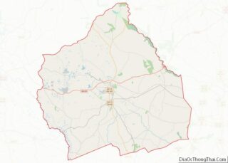
| County: | Washington County |
| Founded: | 1796 |
| Incorporated: | 1812 |
| Elevation: | 446 ft (136 m) |
| Total Area: | 12.99 sq mi (33.65 km²) |
| Land Area: | 12.87 sq mi (33.34 km²) |
| Water Area: | 0.12 sq mi (0.32 km²) |
| Total Population: | 5,813 |
| Population Density: | 451.64/sq mi (174.38/km²) |
| ZIP code: | 31082 |
| Area code: | 478 |
| FIPS code: | 1368208 |
| GNISfeature ID: | 0322445 |
| Website: | www.sandersville.net |
Online Interactive Map
Click on ![]() to view map in "full screen" mode.
to view map in "full screen" mode.
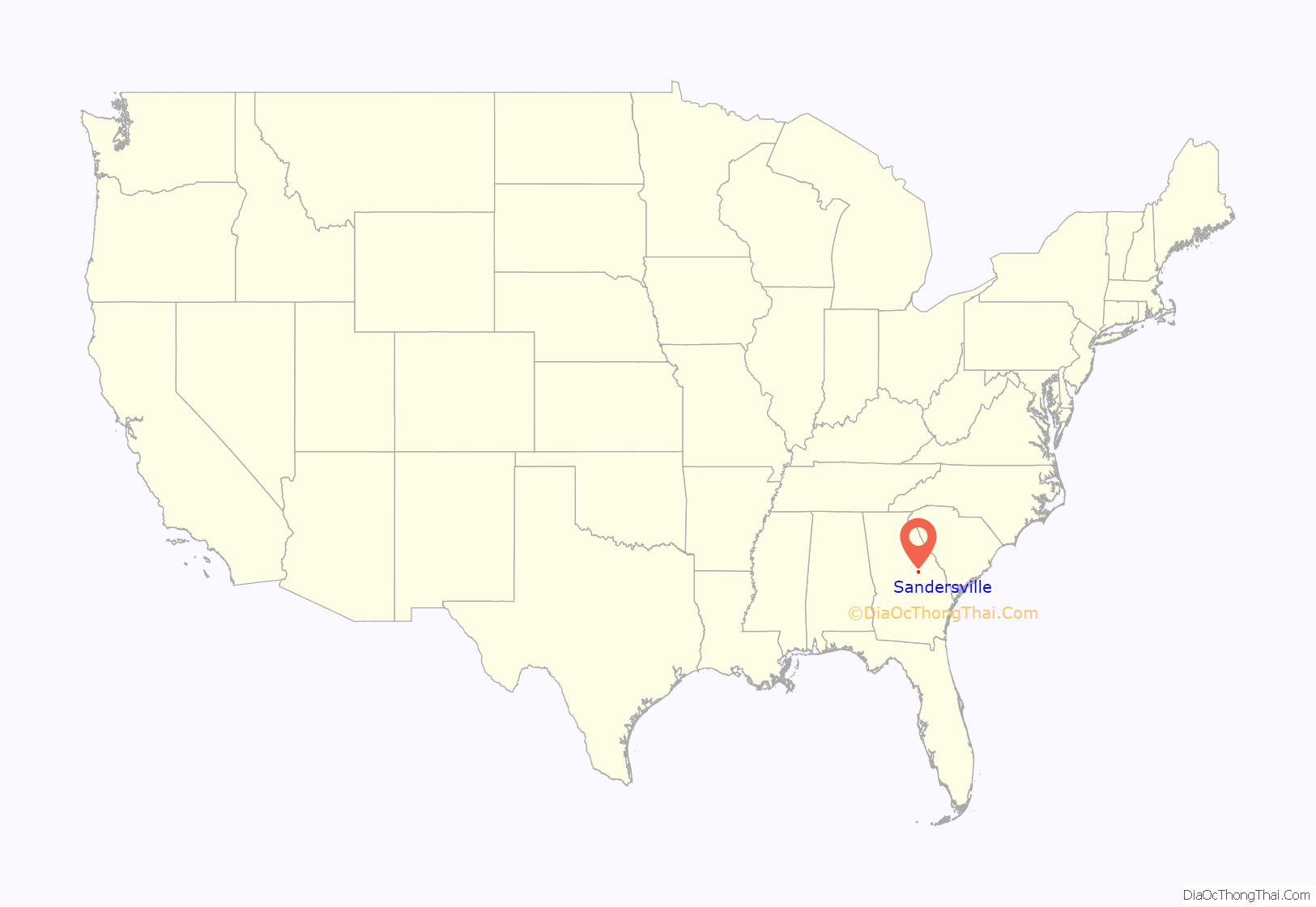
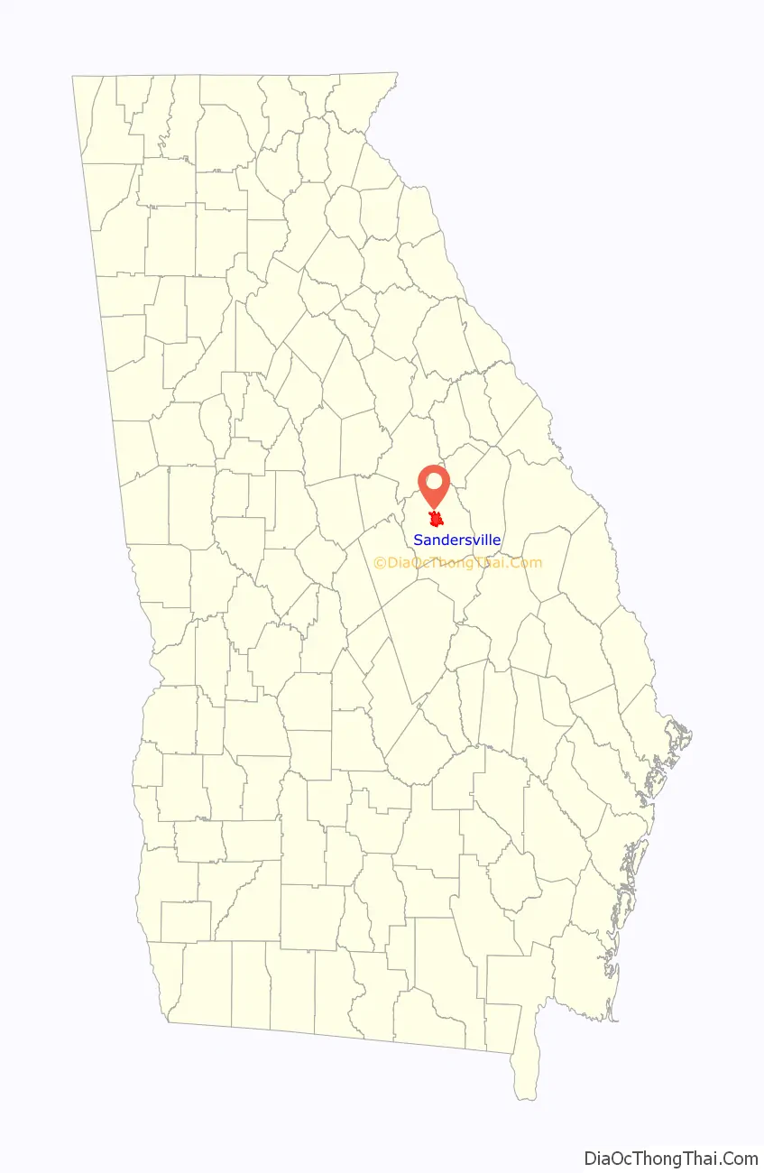
Sandersville location map. Where is Sandersville city?
History
Established by British settlers in Creek territory in the 18th century, shortly after the American Revolution, the town of Sandersville became the county seat of Washington County in 1796. Creek leaders had not yet ceded their territory when Sandersville was settled. According to a book on Georgia place-names, the city was named after M. Saunders, a local store owner. The settlement was located at an intersection of Native American Indian trails, and later the site of Saunders’ general store.
The town appears on Anthony Finley’s 1827 map of Georgia.
In 1864, during the Civil War, General William T. Sherman skirmished and then paused in Sandersville during his March to the Sea. Brief resistance to the advancing Union forces was centered on the courthouse. As they left, Sherman’s troops burned both it and jail, but left the rest of the town intact. A new Washington County Courthouse was built in 1869.
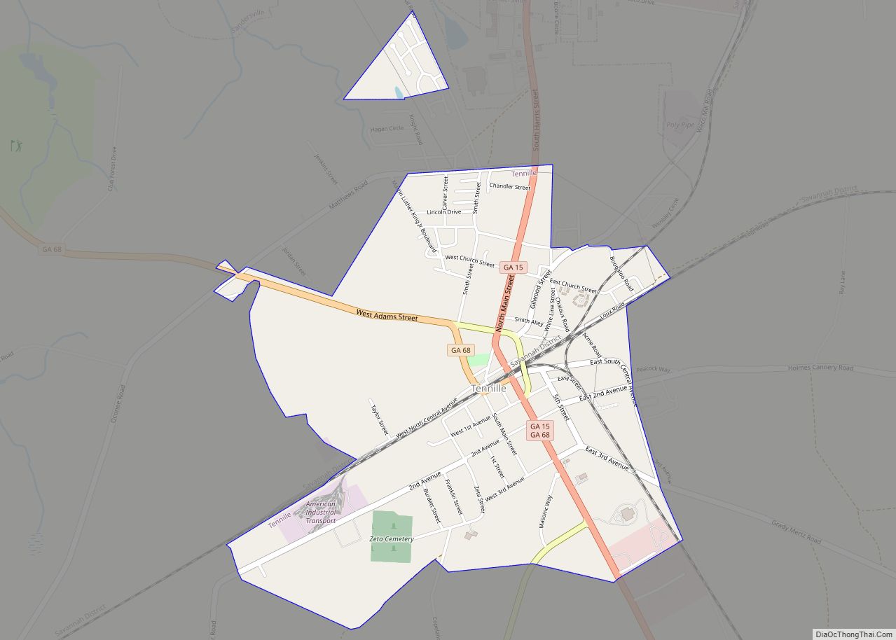
The Sandersville Railroad was built in 1893 as a part of the Central of Georgia Railway, but still operates today as a private owned shortline that connects to Norfolk Southern Railway’s Georgia Division Savannah District at Tennille, Georgia 4 miles to the South.
According to the U.S. National Archive, Nation of Islam leader Elijah Mohammad grew up in Sandersville in the 1890s and 1900s. He is reported to have said that, in Sandersville, he witnessed three lynchings before the age of 10.
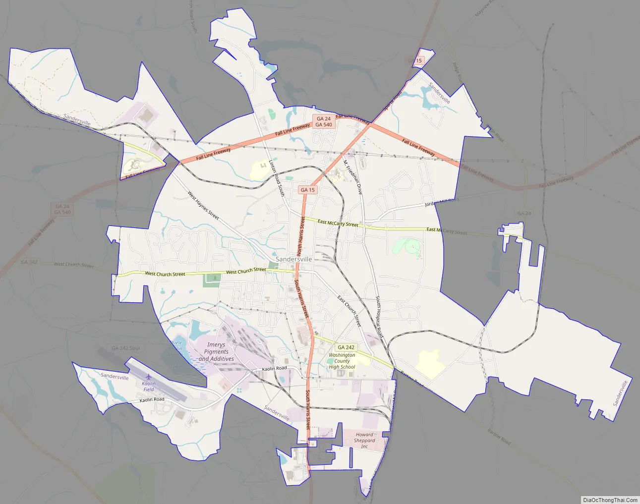
Sandersville Road Map
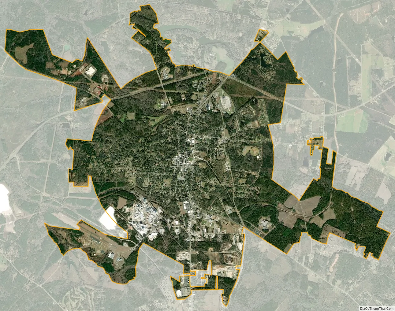
Sandersville city Satellite Map
Geography
According to the United States Census Bureau, the city has a total area of 10.45 square kilometres (4.03 sq mi), of which 9.1 square miles (24 km) is land and 0.1 square miles (0.26 km) (0.87%) is water. The area is along the “Fall Line” that separates the Piedmont Plateau and the Atlantic Coastal Plain and is characterized by rolling hills, red clay, pine and hardwood forest, swamplands, and sand beds. The area tapers off from North to South and becomes more flat. Heading north it becomes more hilly with higher elevations.
Climate
See also
Map of Georgia State and its subdivision:- Appling
- Atkinson
- Bacon
- Baker
- Baldwin
- Banks
- Barrow
- Bartow
- Ben Hill
- Berrien
- Bibb
- Bleckley
- Brantley
- Brooks
- Bryan
- Bulloch
- Burke
- Butts
- Calhoun
- Camden
- Candler
- Carroll
- Catoosa
- Charlton
- Chatham
- Chattahoochee
- Chattooga
- Cherokee
- Clarke
- Clay
- Clayton
- Clinch
- Cobb
- Coffee
- Colquitt
- Columbia
- Cook
- Coweta
- Crawford
- Crisp
- Dade
- Dawson
- Decatur
- DeKalb
- Dodge
- Dooly
- Dougherty
- Douglas
- Early
- Echols
- Effingham
- Elbert
- Emanuel
- Evans
- Fannin
- Fayette
- Floyd
- Forsyth
- Franklin
- Fulton
- Gilmer
- Glascock
- Glynn
- Gordon
- Grady
- Greene
- Gwinnett
- Habersham
- Hall
- Hancock
- Haralson
- Harris
- Hart
- Heard
- Henry
- Houston
- Irwin
- Jackson
- Jasper
- Jeff Davis
- Jefferson
- Jenkins
- Johnson
- Jones
- Lamar
- Lanier
- Laurens
- Lee
- Liberty
- Lincoln
- Long
- Lowndes
- Lumpkin
- Macon
- Madison
- Marion
- McDuffie
- McIntosh
- Meriwether
- Miller
- Mitchell
- Monroe
- Montgomery
- Morgan
- Murray
- Muscogee
- Newton
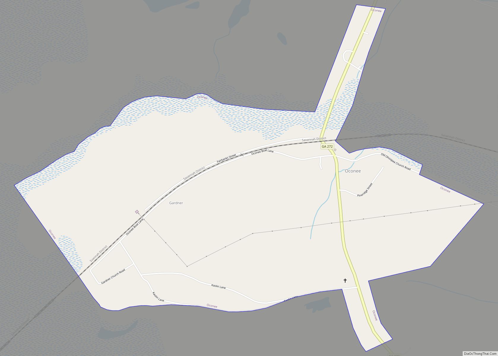
- Oconee
- Oglethorpe
- Paulding
- Peach
- Pickens
- Pierce
- Pike
- Polk
- Pulaski
- Putnam
- Quitman
- Rabun
- Randolph
- Richmond
- Rockdale
- Schley
- Screven
- Seminole
- Spalding
- Stephens
- Stewart
- Sumter
- Talbot
- Taliaferro
- Tattnall
- Taylor
- Telfair
- Terrell
- Thomas
- Tift
- Toombs
- Towns
- Treutlen
- Troup
- Turner
- Twiggs
- Union
- Upson
- Walker
- Walton
- Ware
- Warren
- Washington
- Wayne
- Webster
- Wheeler
- White
- Whitfield
- Wilcox
- Wilkes
- Wilkinson
- Worth
- Alabama
- Alaska
- Arizona
- Arkansas
- California
- Colorado
- Connecticut
- Delaware
- District of Columbia
- Florida
- Georgia
- Hawaii
- Idaho
- Illinois
- Indiana
- Iowa
- Kansas
- Kentucky
- Louisiana
- Maine
- Maryland
- Massachusetts
- Michigan
- Minnesota
- Mississippi
- Missouri
- Montana
- Nebraska
- Nevada
- New Hampshire
- New Jersey
- New Mexico
- New York
- North Carolina
- North Dakota
- Ohio
- Oklahoma
- Oregon
- Pennsylvania
- Rhode Island
- South Carolina
- South Dakota
- Tennessee
- Texas
- Utah
- Vermont
- Virginia
- Washington
- West Virginia
- Wisconsin
- Wyoming