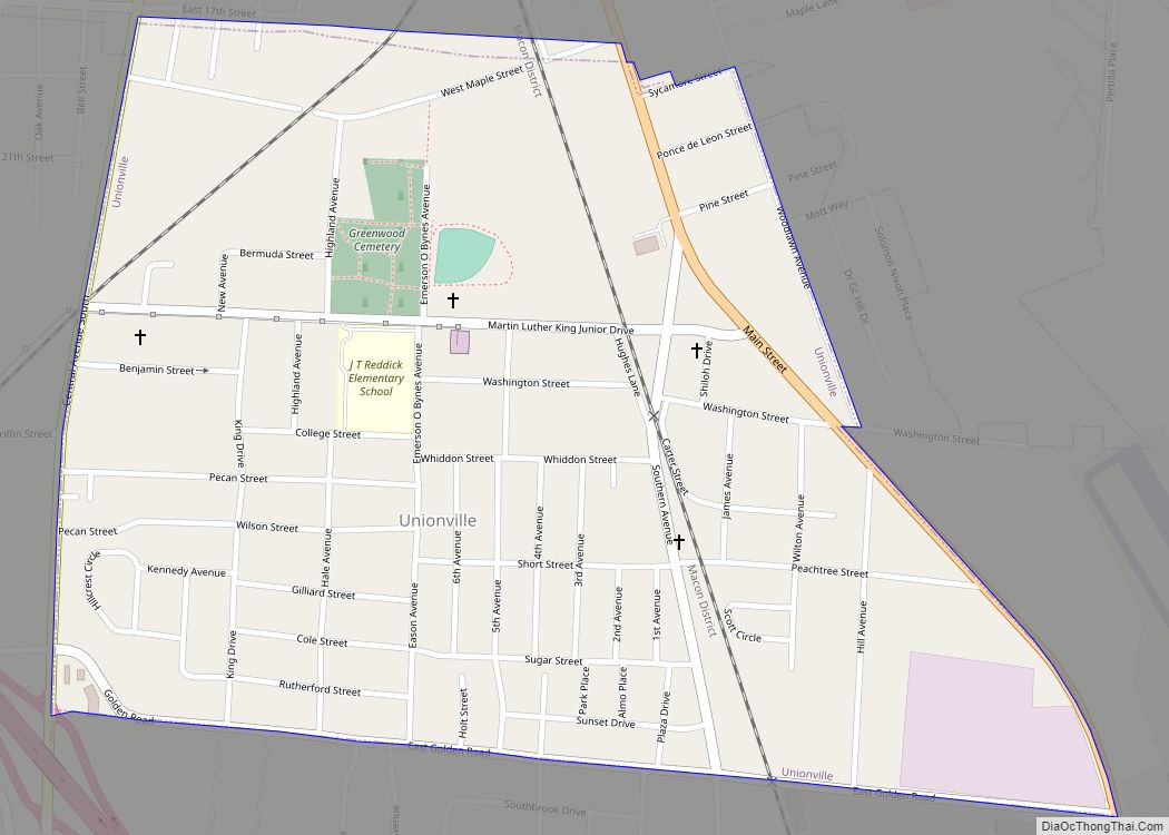
Unionville is a census-designated place (CDP) in Tift County, Georgia, United States. The population was 2,074 at the 2000 census. Unionville CDP overview: Name: Unionville CDP LSAD Code: 57 LSAD Description: CDP (suffix) State: Georgia County: Tift County Elevation: 351 ft (107 m) Total Area: 0.75 sq mi (1.95 km²) Land Area: 0.75 sq mi (1.95 km²) Water Area: 0.00 sq mi (0.00 km²) Total Population: ... Read more
Georgia Cities and Places
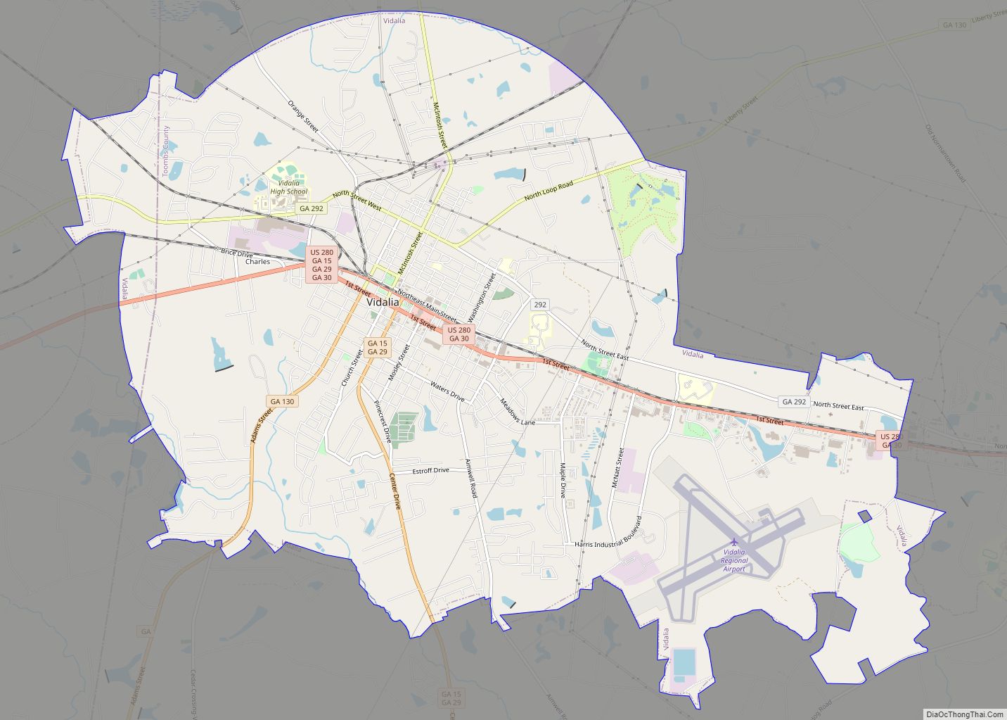
Vidalia (/vaɪˈdeɪliə/ vye-DAYL-yə , locally /-ˈdeɪjə/ -DAY-yə) is a city located primarily in Toombs County, Georgia, United States. The city also extends very slightly into Montgomery County. As of the 2020 census, the city population was 10,785. Vidalia is the principal city of the Vidalia Micropolitan Statistical Area, a micropolitan area that covers Montgomery and ... Read more
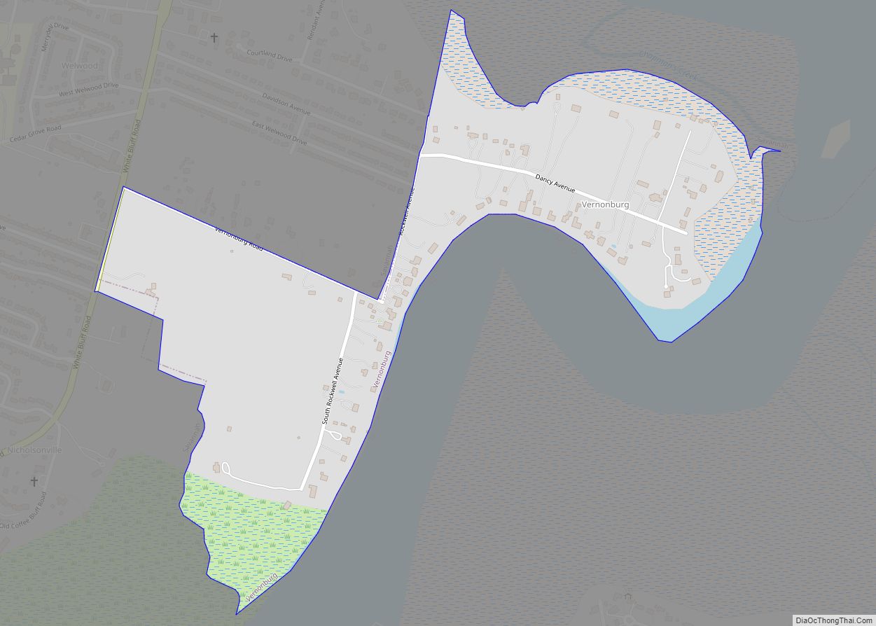
Vernonburg is a town in Chatham County, Georgia, United States, about 10 miles south of downtown Savannah. It is located at a sharp curve along the Vernon River, a tidal creek. The population was 139 at the 2020 census. Vernonburg is part of the Savannah Metropolitan Statistical Area. Vernonburg town overview: Name: Vernonburg town LSAD ... Read more
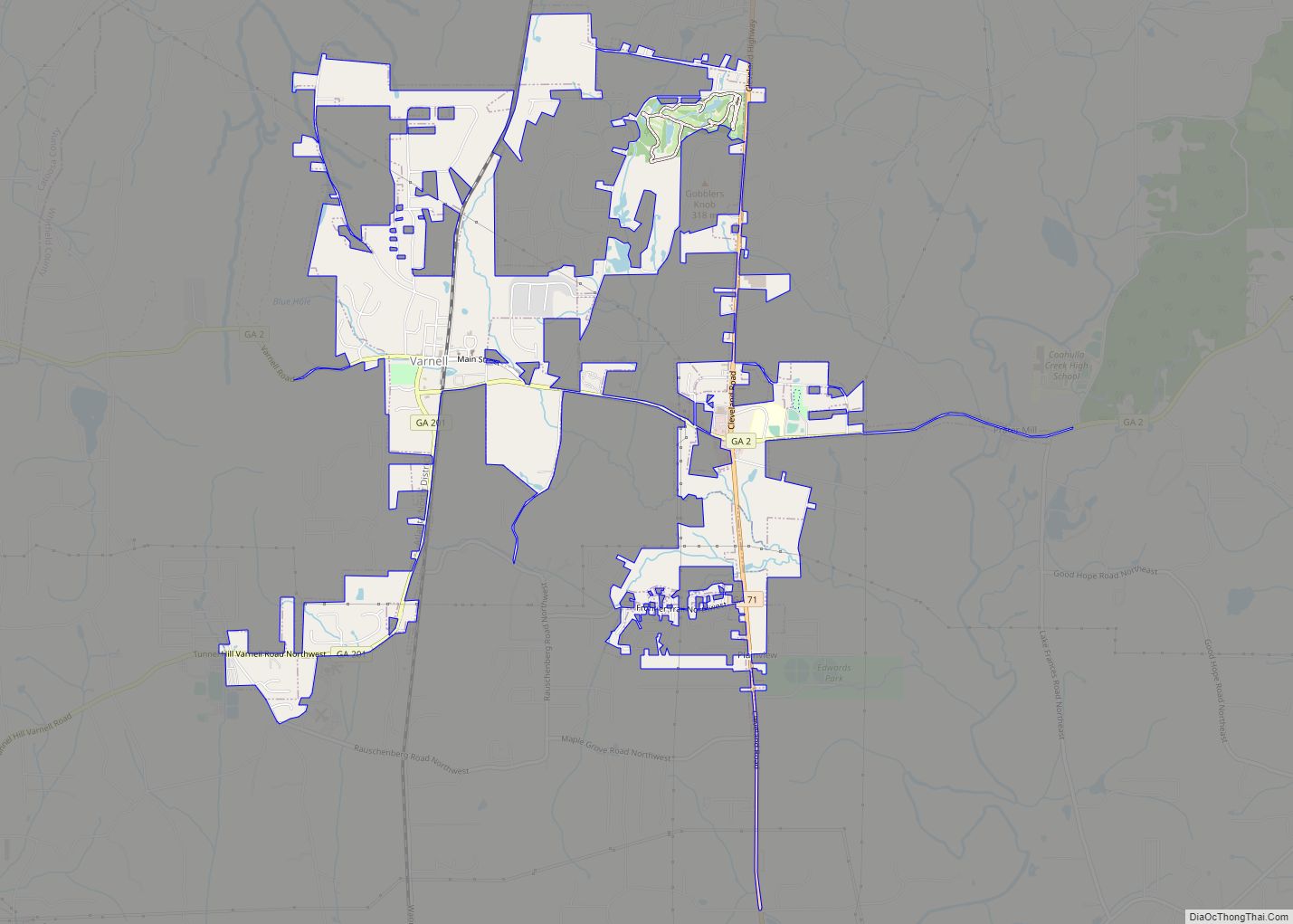
Varnell is a city in Whitfield County, Georgia, United States. It is part of the Dalton, Georgia Metropolitan Statistical Area. The population was 2,179 at the 2020 census. Varnell city overview: Name: Varnell city LSAD Code: 25 LSAD Description: city (suffix) State: Georgia County: Whitfield County Elevation: 807 ft (246 m) Total Area: 3.83 sq mi (9.92 km²) Land Area: ... Read more
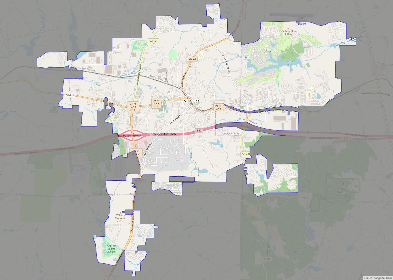
Villa Rica /ˌvɪlə ˈrɪkə/ (Spanish, Italian, and Portuguese translation: Rich Village) is a city in Carroll and Douglas counties in the U.S. state of Georgia. Located roughly 30 miles west of Atlanta, a decision to develop housing on a large tract of land led to a major population boom at the turn of the 21st ... Read more
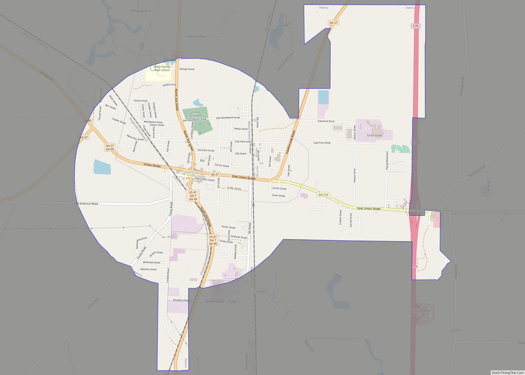
The city of Vienna (/vaɪˈɛnə/) is the county seat of Dooly County, Georgia, United States. The population was 4,011 at the 2010 census, up from 2,973 in 2000. Vienna is situated on the Flint River. It was established as Berrien in 1826. In 1833, its name was changed to Drayton. In 1841, it was renamed ... Read more
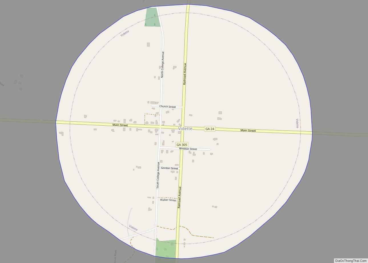
Vidette is a city in Burke County, Georgia, United States. The population was 112 at the 2010 census. It is part of the Augusta, Georgia metropolitan area. Vidette city overview: Name: Vidette city LSAD Code: 25 LSAD Description: city (suffix) State: Georgia County: Burke County Elevation: 351 ft (107 m) Total Area: 0.97 sq mi (2.52 km²) Land Area: 0.97 sq mi ... Read more
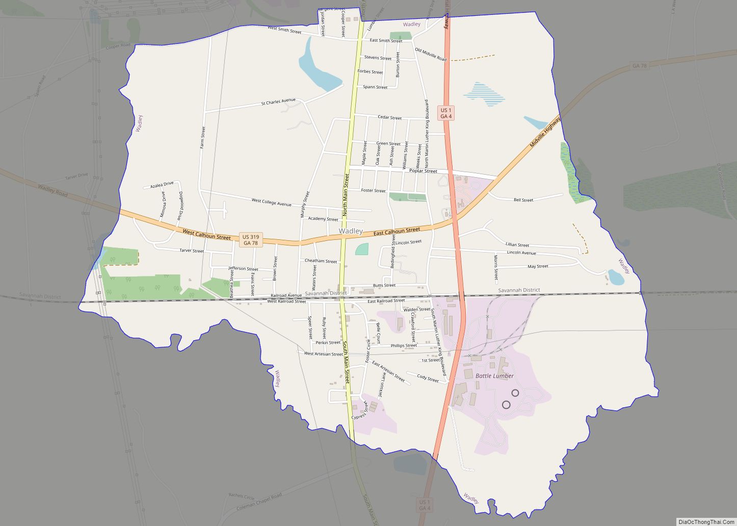
Wadley is a city in Jefferson County, Georgia, United States. The population was 2,061 at the 2010 census. Wadley city overview: Name: Wadley city LSAD Code: 25 LSAD Description: city (suffix) State: Georgia County: Jefferson County Elevation: 253 ft (77 m) Total Area: 4.60 sq mi (11.91 km²) Land Area: 4.56 sq mi (11.80 km²) Water Area: 0.04 sq mi (0.11 km²) Total Population: 1,643 Population ... Read more
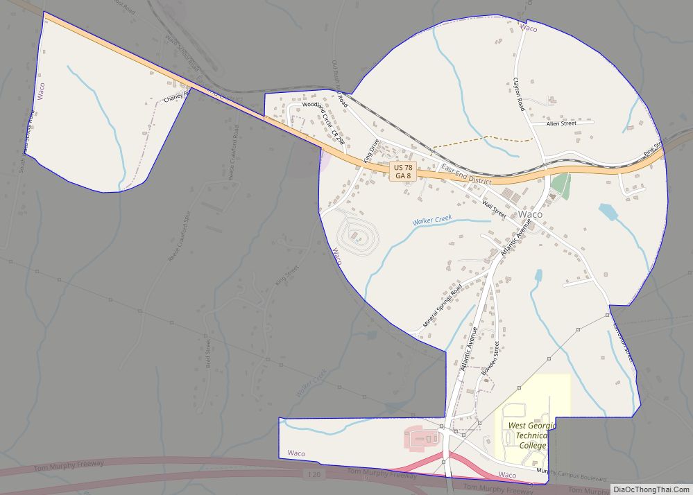
Waco is a city in Haralson County, Georgia, United States, located near the Alabama state line. The population was 516 at the 2010 census, up from 469 at the 2000 census. Waco city overview: Name: Waco city LSAD Code: 25 LSAD Description: city (suffix) State: Georgia County: Haralson County Elevation: 1,389 ft (423 m) Total Area: 1.83 sq mi ... Read more
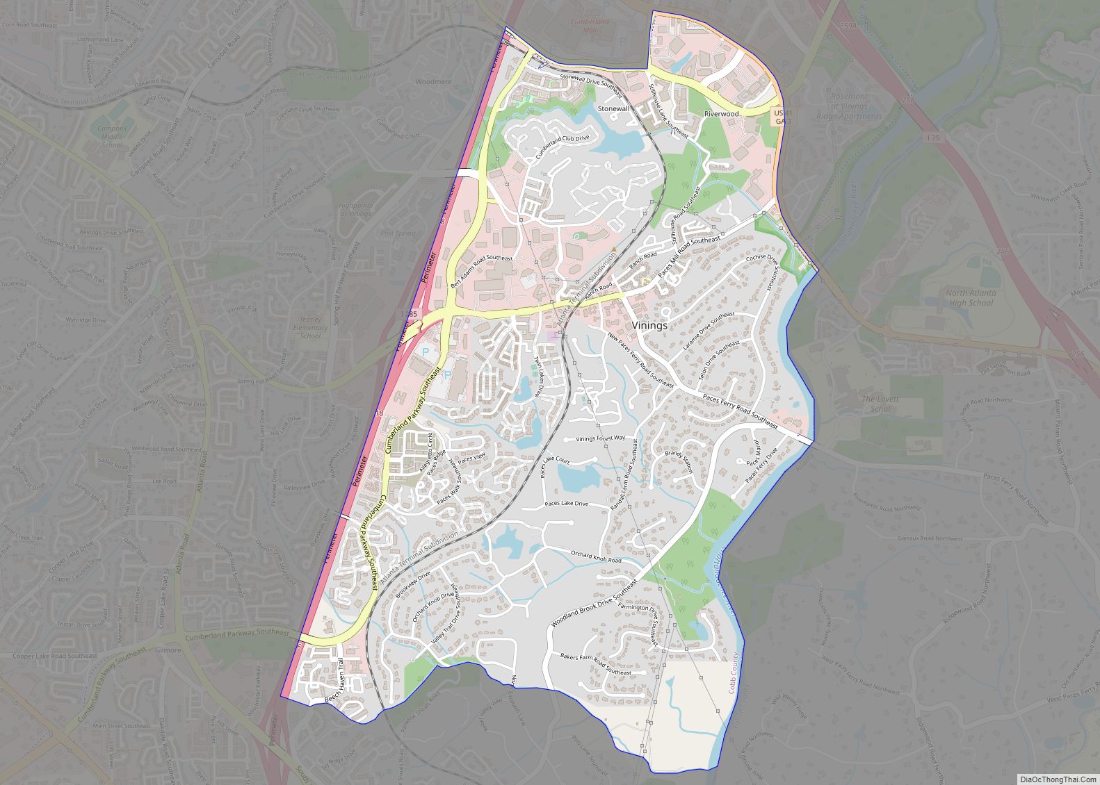
Vinings is a census-designated place (CDP) in Cobb County, Georgia, United States that runs along the Chattahoochee River bank across from Buckhead. As of the 2020 census, the CDP had a total population of 12,581. Located next to the affluent Paces section of Buckhead in northwest Atlanta, Vinings is known for its historic sites, shopping ... Read more
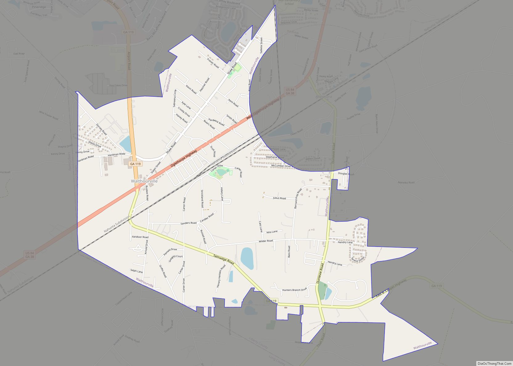
Walthourville /ˈwɔːltaʊərvɪl/ is a city in Liberty County, Georgia, United States. When it was incorporated in 1974, it had a government entirely composed of women; and in 1978 it elected Carrie Kent, the first African-American woman mayor in Georgia history. Walthourville is a part of the Hinesville-Fort Stewart metropolitan statistical area. The population was 4,111 ... Read more
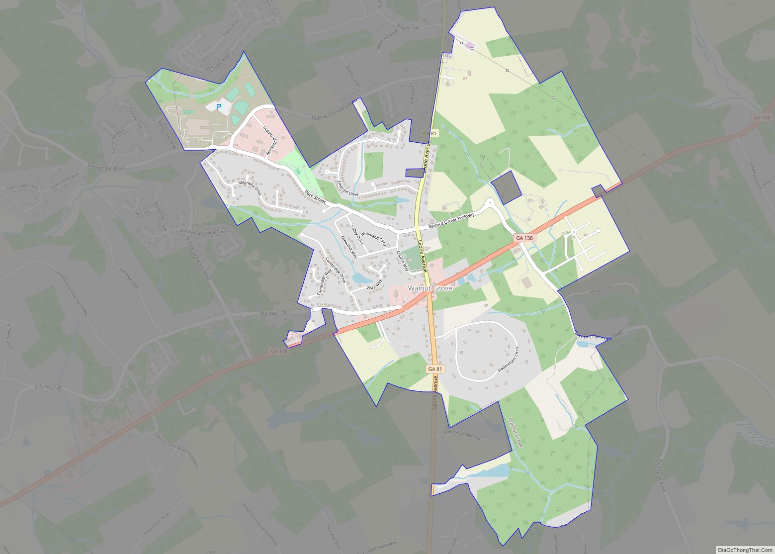
Walnut Grove is a town in Walton County, Georgia, United States. The population was 1,330 according to the 2010 census. Walnut Grove city overview: Name: Walnut Grove city LSAD Code: 25 LSAD Description: city (suffix) State: Georgia County: Walton County Elevation: 922 ft (281 m) Total Area: 2.87 sq mi (7.45 km²) Land Area: 2.84 sq mi (7.36 km²) Water Area: 0.03 sq mi (0.09 km²) ... Read more
