The city of Vienna (/vaɪˈɛnə/) is the county seat of Dooly County, Georgia, United States. The population was 4,011 at the 2010 census, up from 2,973 in 2000. Vienna is situated on the Flint River. It was established as Berrien in 1826. In 1833, its name was changed to Drayton. In 1841, it was renamed Vienna. Vienna was disincorporated at the time they changed the city’s name to Vienna. The present name is after Vienna, in Austria.
| Name: | Vienna city |
|---|---|
| LSAD Code: | 25 |
| LSAD Description: | city (suffix) |
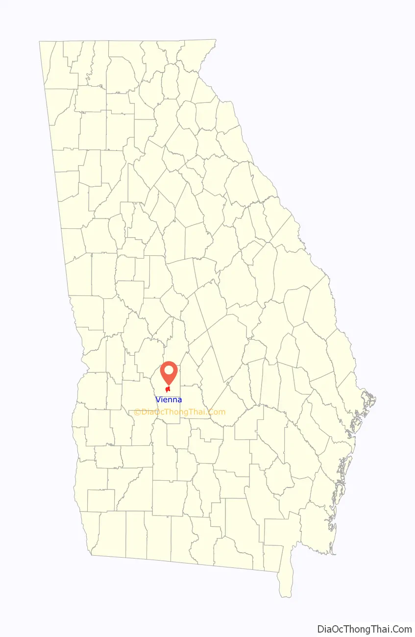
| State: | Georgia |
| County: | Dooly County |
| Elevation: | 331 ft (101 m) |
| Total Area: | 5.57 sq mi (14.44 km²) |
| Land Area: | 5.55 sq mi (14.37 km²) |
| Water Area: | 0.03 sq mi (0.07 km²) |
| Total Population: | 2,928 |
| Population Density: | 527.66/sq mi (203.72/km²) |
| ZIP code: | 31092 |
| Area code: | 229 |
| FIPS code: | 1379444 |
| GNISfeature ID: | 0324707 |
| Website: | www.cityofvienna.org |
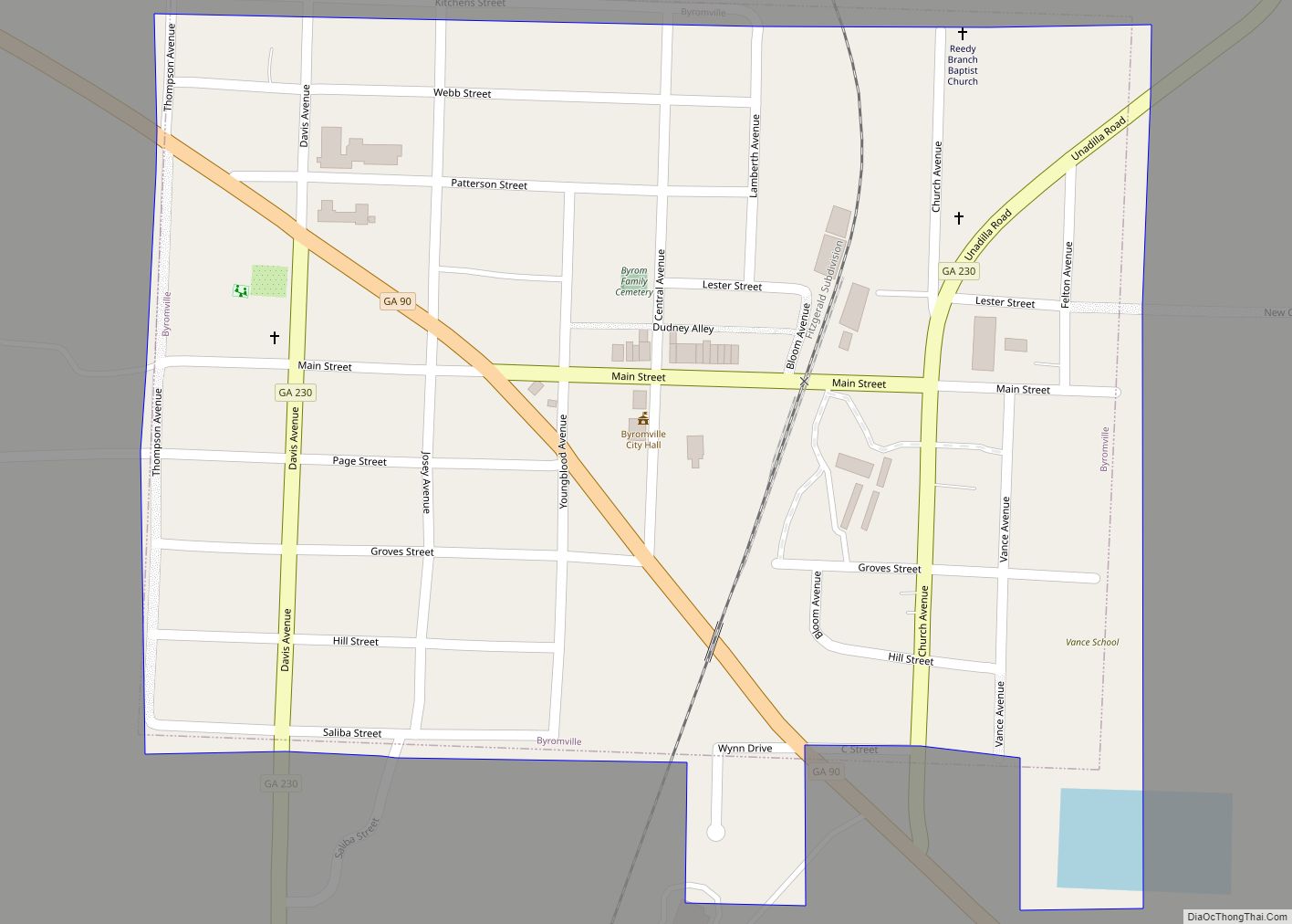
Online Interactive Map
Click on ![]() to view map in "full screen" mode.
to view map in "full screen" mode.
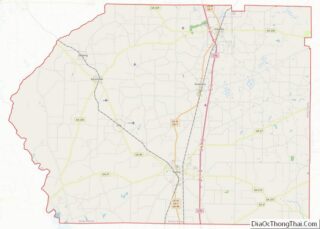
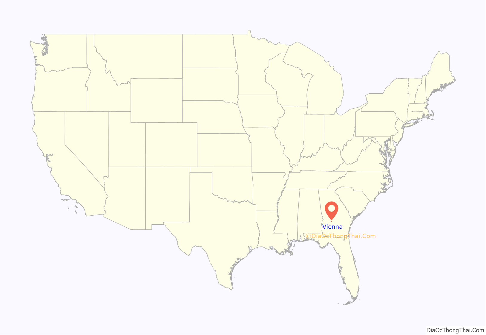
Vienna location map. Where is Vienna city?
History
Vienna was founded in 1826 as the seat of Dooly County as Berrien. Its name was later changed to Drayton. The county seat moved to Drayton (it retained the same name), Georgia along the Flint River (Georgia) in 1836. It was later re-designated county seat in 1841. It was incorporated as a town in 1854 and as a city in 1901.
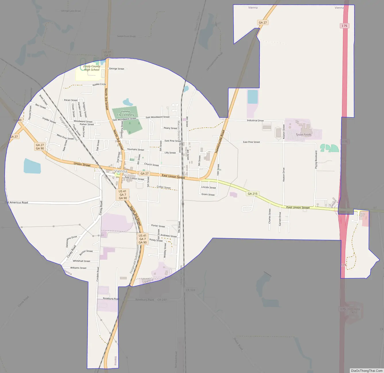
Vienna Road Map
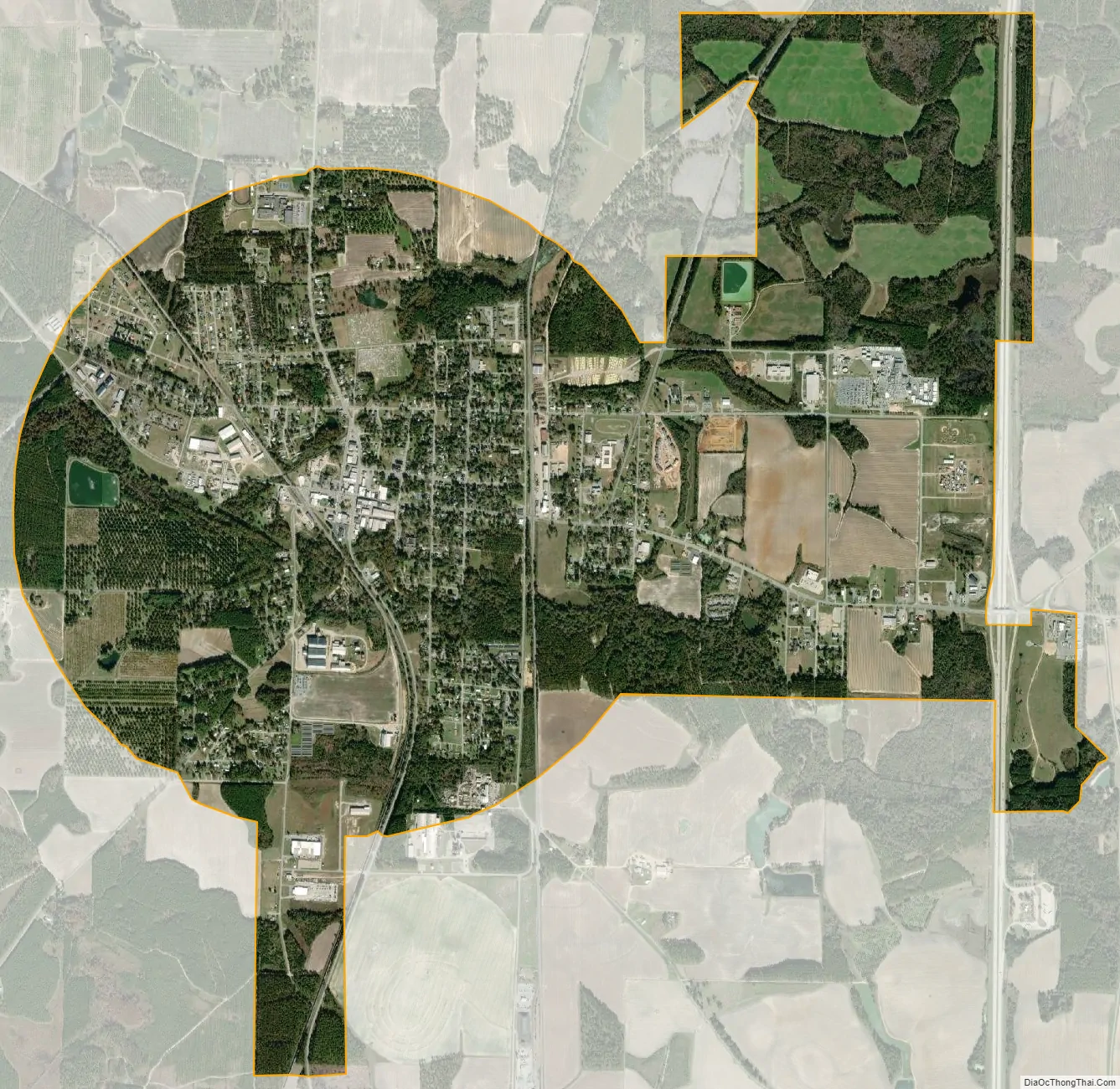
Vienna city Satellite Map
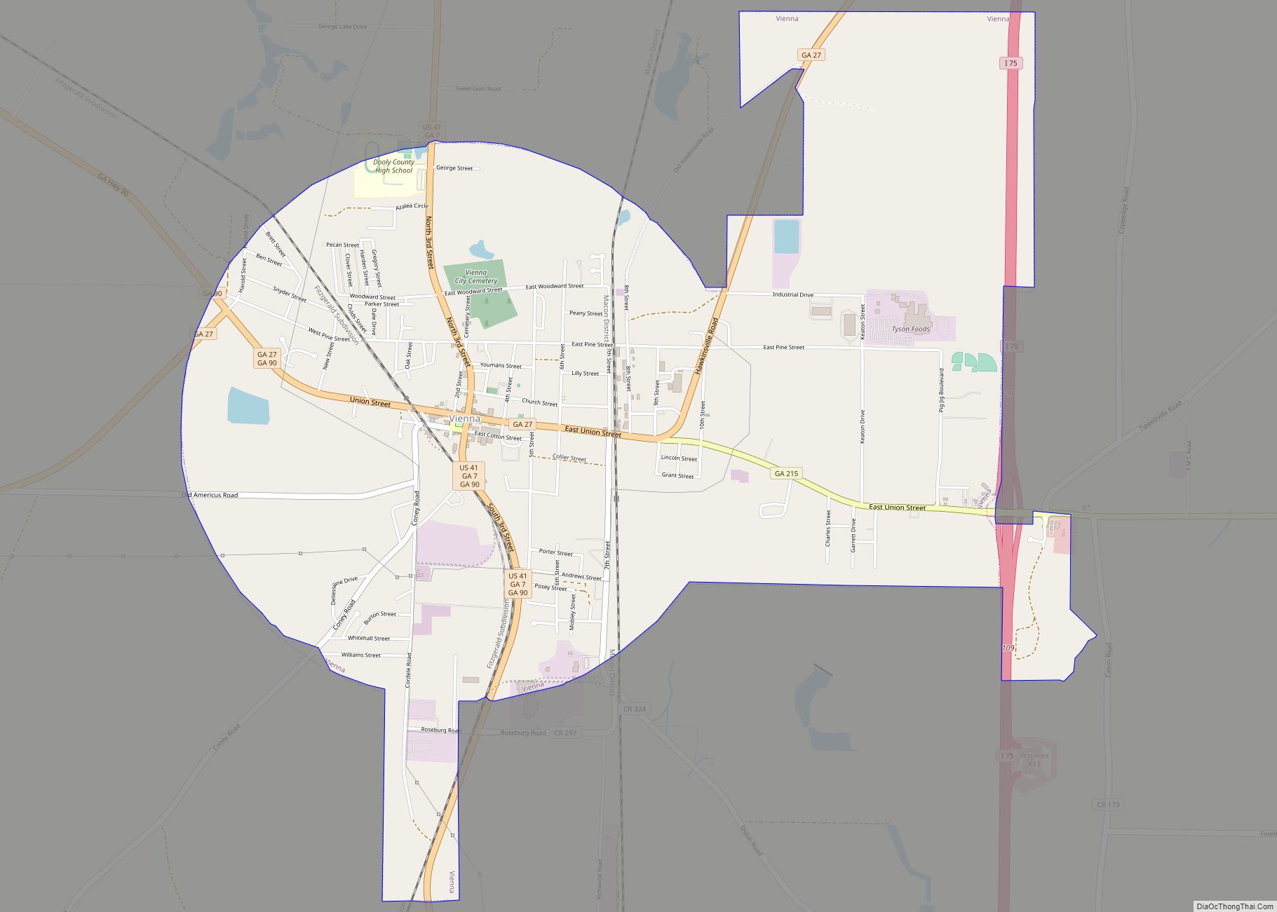
Geography
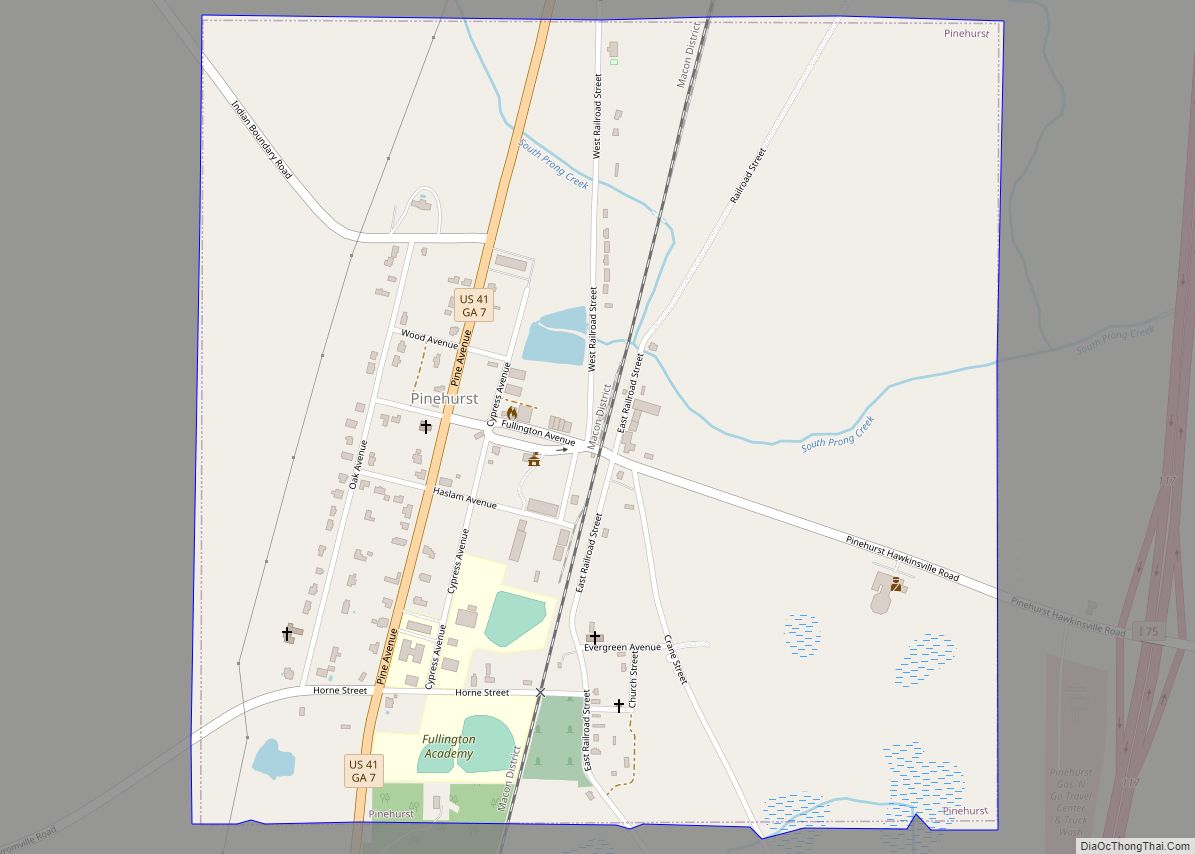
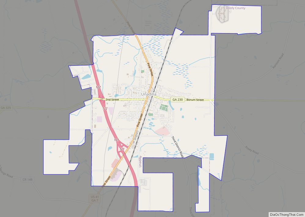
Vienna is located in southern Dooly County. U.S. Route 41 passes through the center of town as Third Street, leading north 13 miles (21 km) to Unadilla and south 9 miles (14 km) to Cordele. Interstate 75 passes 2 miles (3 km) east of the center of town (and forms the eastern border of the city), with access from Exits 109 and 112. I-75 leads north 55 miles (89 km) to Macon and south 49 miles (79 km) to Tifton.
According to the United States Census Bureau, Vienna has a total area of 5.5 square miles (14.2 km), of which 0.03 square miles (0.07 km), or 0.46%, is water.
Climate
The climate in this area is characterized by relatively high temperatures and evenly distributed precipitation throughout the year. According to the Köppen Climate Classification system, Vienna has a humid subtropical climate, abbreviated “Cfa” on climate maps.
See also
Map of Georgia State and its subdivision:- Appling
- Atkinson
- Bacon
- Baker
- Baldwin
- Banks
- Barrow
- Bartow
- Ben Hill
- Berrien
- Bibb
- Bleckley
- Brantley
- Brooks
- Bryan
- Bulloch
- Burke
- Butts
- Calhoun
- Camden
- Candler
- Carroll
- Catoosa
- Charlton
- Chatham
- Chattahoochee
- Chattooga
- Cherokee
- Clarke
- Clay
- Clayton
- Clinch
- Cobb
- Coffee
- Colquitt
- Columbia
- Cook
- Coweta
- Crawford
- Crisp
- Dade
- Dawson
- Decatur
- DeKalb
- Dodge
- Dooly
- Dougherty
- Douglas
- Early
- Echols
- Effingham
- Elbert
- Emanuel
- Evans
- Fannin
- Fayette
- Floyd
- Forsyth
- Franklin
- Fulton
- Gilmer
- Glascock
- Glynn
- Gordon
- Grady
- Greene
- Gwinnett
- Habersham
- Hall
- Hancock
- Haralson
- Harris
- Hart
- Heard
- Henry
- Houston
- Irwin
- Jackson
- Jasper
- Jeff Davis
- Jefferson
- Jenkins
- Johnson
- Jones
- Lamar
- Lanier
- Laurens
- Lee
- Liberty
- Lincoln
- Long
- Lowndes
- Lumpkin
- Macon
- Madison
- Marion
- McDuffie
- McIntosh
- Meriwether
- Miller
- Mitchell
- Monroe
- Montgomery
- Morgan
- Murray
- Muscogee
- Newton
- Oconee
- Oglethorpe
- Paulding
- Peach
- Pickens
- Pierce
- Pike
- Polk
- Pulaski
- Putnam
- Quitman
- Rabun
- Randolph
- Richmond
- Rockdale
- Schley
- Screven
- Seminole
- Spalding
- Stephens
- Stewart
- Sumter
- Talbot
- Taliaferro
- Tattnall
- Taylor
- Telfair
- Terrell
- Thomas
- Tift
- Toombs
- Towns
- Treutlen
- Troup
- Turner
- Twiggs
- Union
- Upson
- Walker
- Walton
- Ware
- Warren
- Washington
- Wayne
- Webster
- Wheeler
- White
- Whitfield
- Wilcox
- Wilkes
- Wilkinson
- Worth
- Alabama
- Alaska
- Arizona
- Arkansas
- California
- Colorado
- Connecticut
- Delaware
- District of Columbia
- Florida
- Georgia
- Hawaii
- Idaho
- Illinois
- Indiana
- Iowa
- Kansas
- Kentucky
- Louisiana
- Maine
- Maryland
- Massachusetts
- Michigan
- Minnesota
- Mississippi
- Missouri
- Montana
- Nebraska
- Nevada
- New Hampshire
- New Jersey
- New Mexico
- New York
- North Carolina
- North Dakota
- Ohio
- Oklahoma
- Oregon
- Pennsylvania
- Rhode Island
- South Carolina
- South Dakota
- Tennessee
- Texas
- Utah
- Vermont
- Virginia
- Washington
- West Virginia
- Wisconsin
- Wyoming