Walthourville /ˈwɔːltaʊərvɪl/ is a city in Liberty County, Georgia, United States. When it was incorporated in 1974, it had a government entirely composed of women; and in 1978 it elected Carrie Kent, the first African-American woman mayor in Georgia history. Walthourville is a part of the Hinesville-Fort Stewart metropolitan statistical area. The population was 4,111 at the 2010 census.
| Name: | Walthourville city |
|---|---|
| LSAD Code: | 25 |
| LSAD Description: | city (suffix) |
| State: | Georgia |
| County: | Liberty County |
| Elevation: | 89 ft (27 m) |
| Total Area: | 3.84 sq mi (9.96 km²) |
| Land Area: | 3.84 sq mi (9.96 km²) |
| Water Area: | 0.00 sq mi (0.00 km²) |
| Total Population: | 3,680 |
| Population Density: | 957.34/sq mi (369.63/km²) |
| ZIP code: | 31333 |
| Area code: | 912 |
| FIPS code: | 1380256 |
| GNISfeature ID: | 0356617 |
| Website: | cityofwalthourville.com |
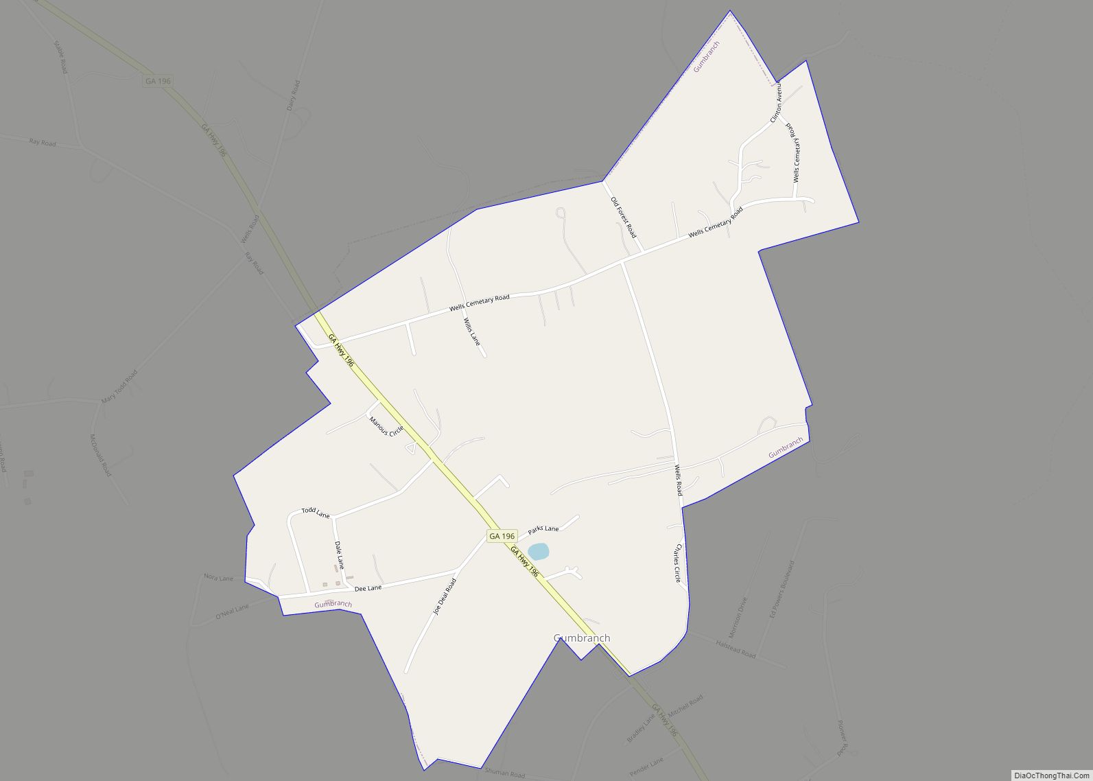
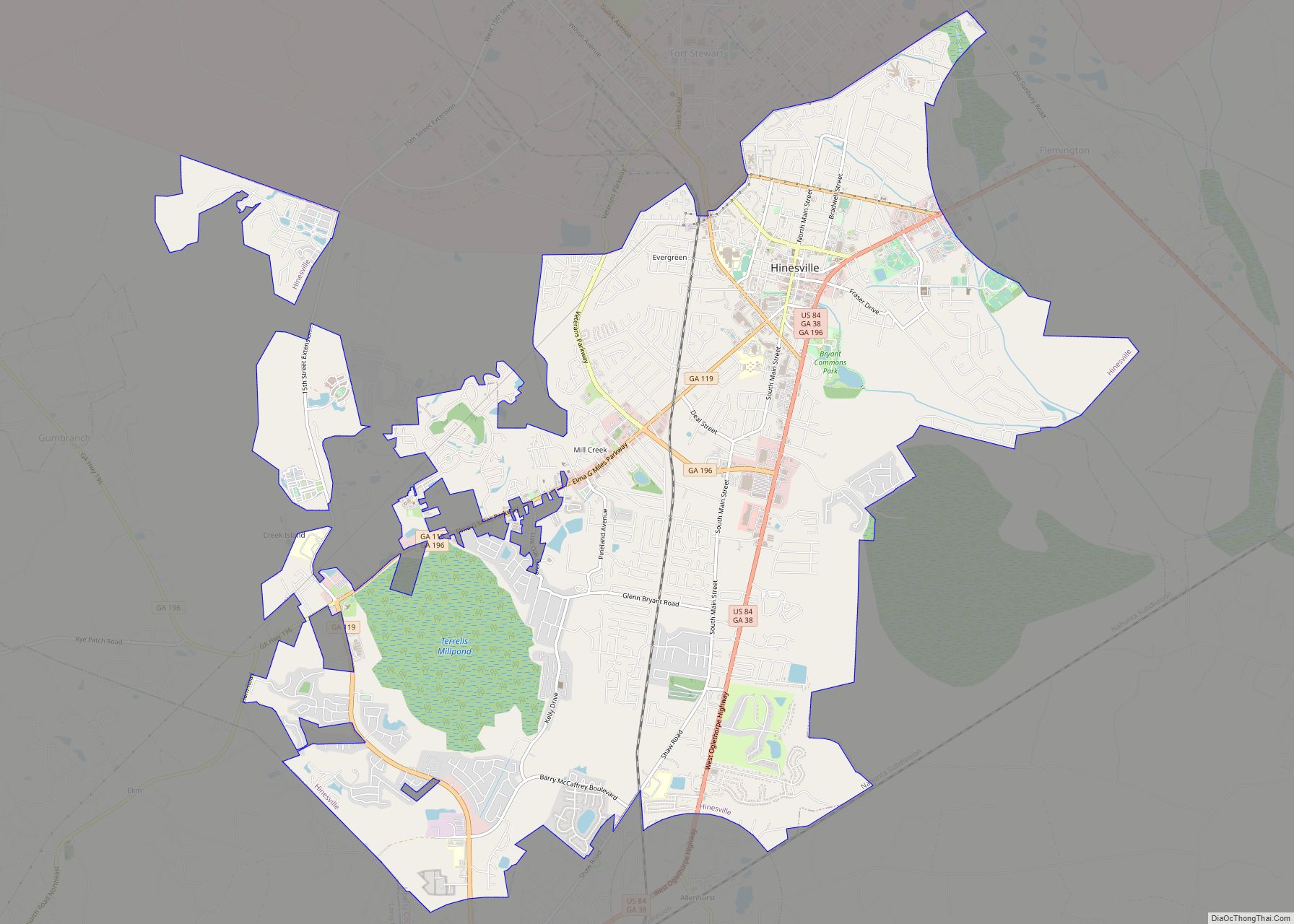
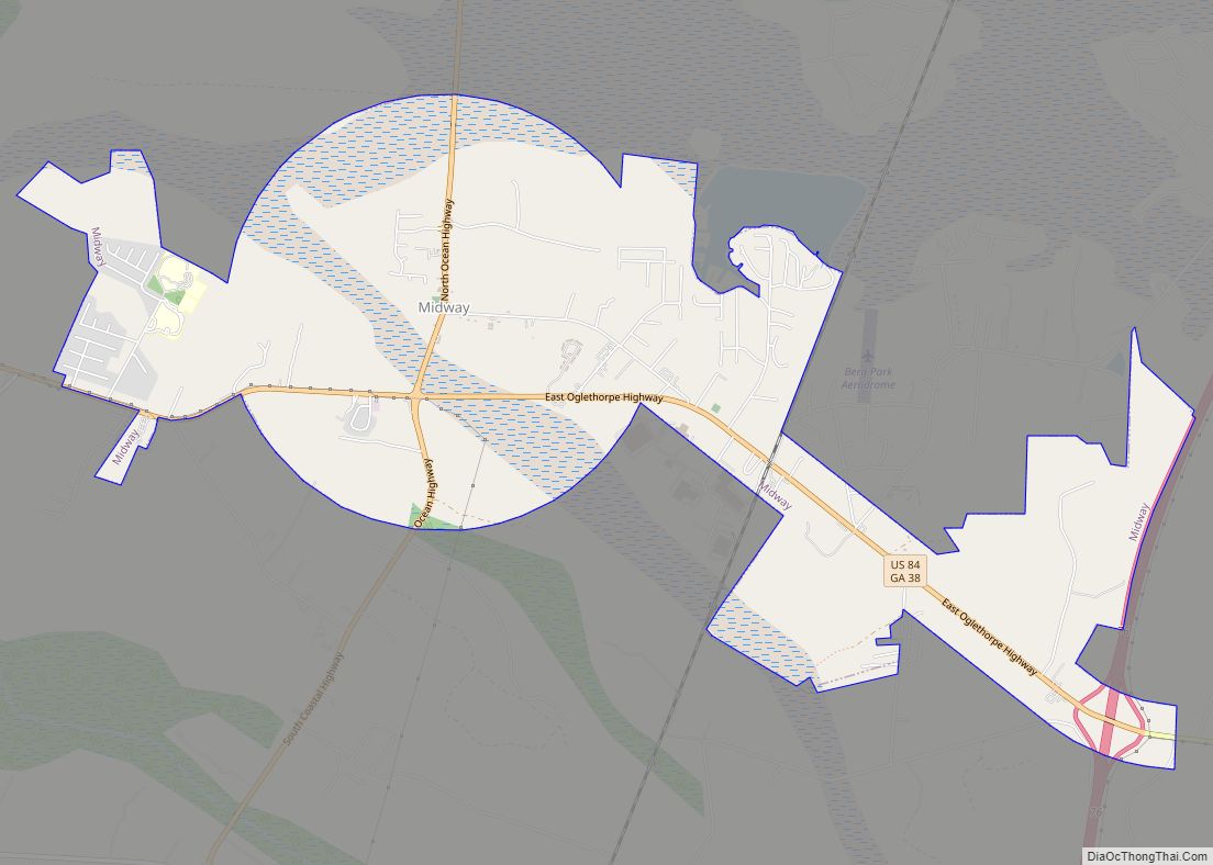
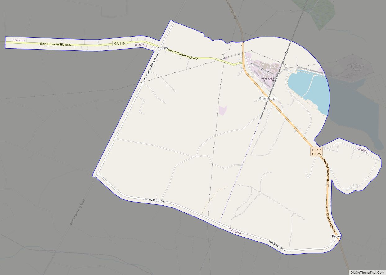
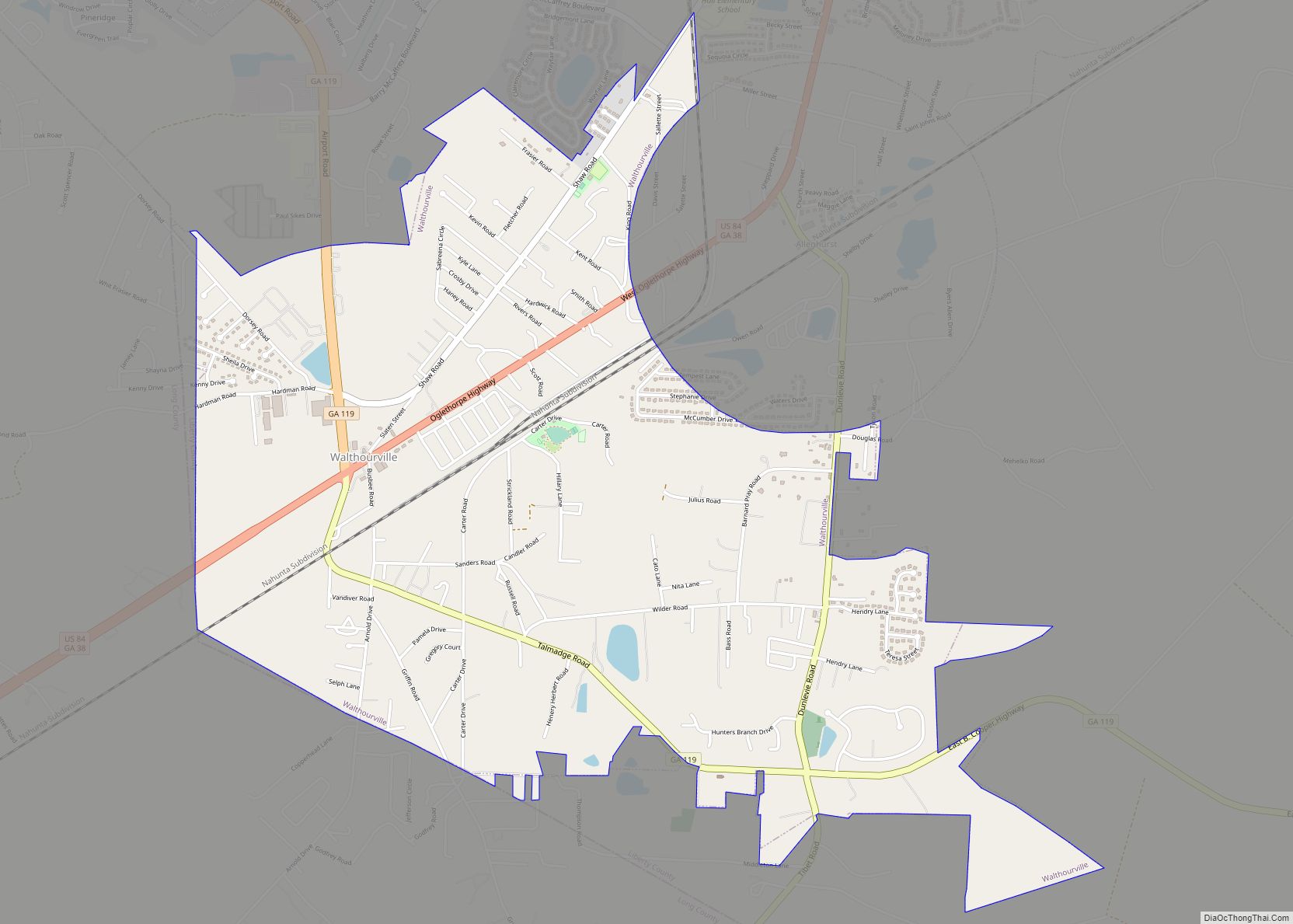
Online Interactive Map
Click on ![]() to view map in "full screen" mode.
to view map in "full screen" mode.
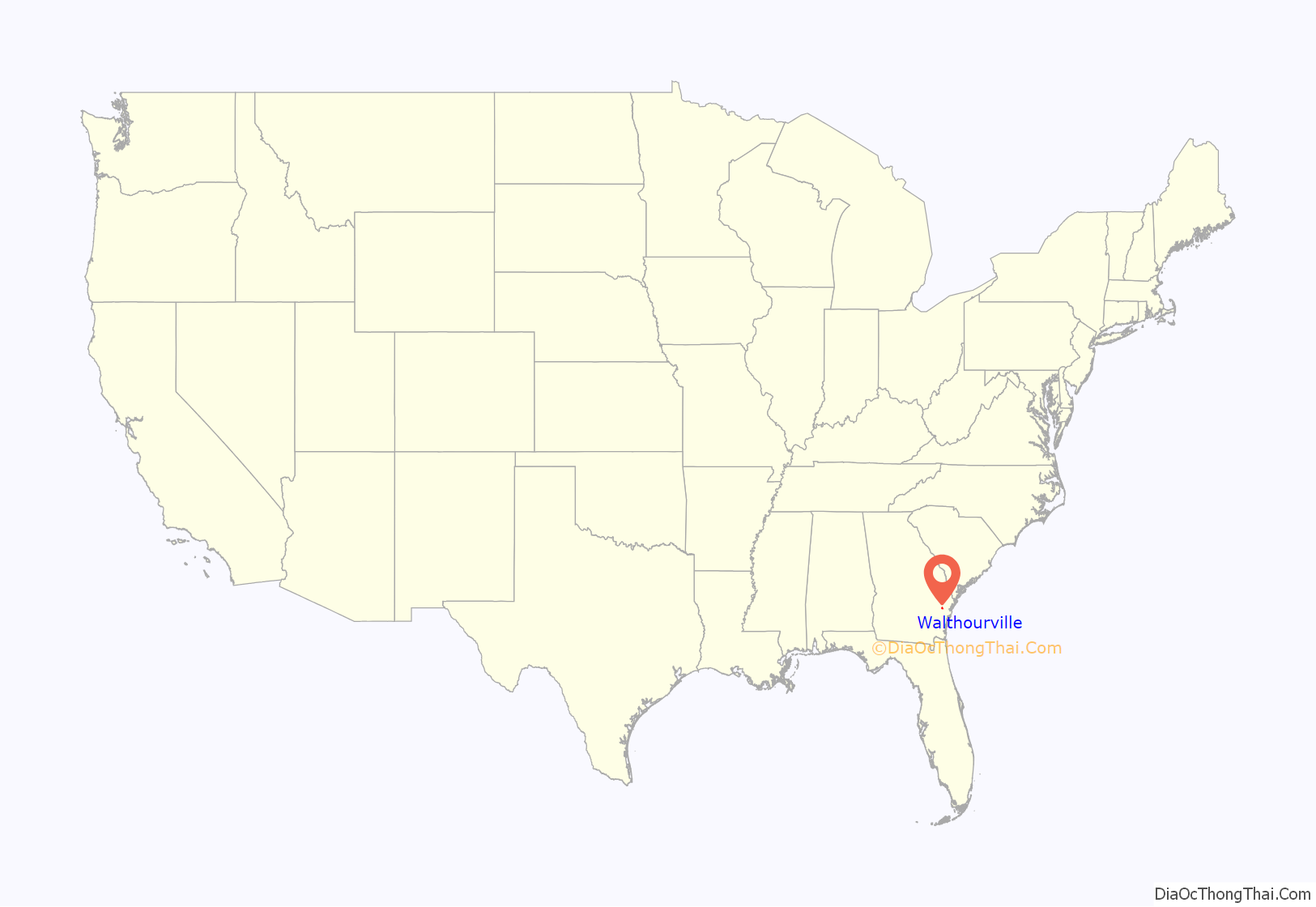
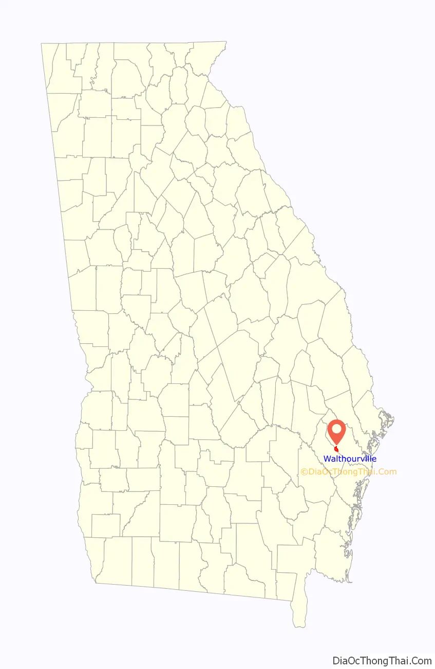
Walthourville location map. Where is Walthourville city?
History
Walthourville draws its name from Andrew Walthour, a revolutionary soldier and a physician who established a plantation in the area circa 1795. The Walthourville Presbyterian Church was originally housed in a structure, erected in 1820, which served as a meeting place for both Baptists and Presbyterians. In 1845 a Presbyterian church was erected, which was destroyed by fire in 1877. The following year a new church was completed, with that structure being destroyed in a storm in 1881. The present church was dedicated in July 1884.
The Walthourville Academy, a non-sectarian co-educational school, was founded in 1823. A post office was established on July 3, 1837
By the 1840s the town was one of the most prosperous towns in south Georgia. In 1854 the North Newport Church moved to Walthourville.
The tracks of the Savannah, Albany & Gulf Railroad reached Walthourville in 1857. The railroad merged with the Atlantic & Gulf Railroad and traversed south Georgia from Savannah to Bainbridge. The Walthourville depot was Station No. 4, the fourth to be constructed on the line from Savannah.
An 1862 guide to Confederate railroads provided the following description of Walthourville, “a post-town in Liberty county, Georgia, forty miles South-west of Savannah, is the largest place in the county. It contains two flourishing academies, and about 400 inhabitants.”
By 1974 the town had an airstrip and an industrial park, and there was some concern the area might be annexed by nearby Hinesville, Georgia. Although the town was 179 years old, it was not officially chartered by the state. An attempt to do so by the male leaders of the town some 12 years earlier had failed due in part to “bickering.”
A committee entirely composed of women completed the necessary census and circulated a petition as required, getting 300 signatures. When they filed the paperwork with the Georgia General Assembly for approval they named themselves the incorporating officers. “We thought it was all just on paper”, said Mayor Lyndol Anderson. But when the approved papers arrived (signed by then-Governor Jimmy Carter) they realized they were required to serve as town government until the first election in December.
They were sworn into office in April 1974 becoming the one of the first all-woman governments of a municipality in Georgia history. (The first known instance was Oak Park in 1934). Coming as it did at the height of the women’s liberation movement, the all-woman government of the town attracted much attention including national coverage by A.P., UPI, NBC Nightly News with John Chancellor and CBS Evening News with Walter Cronkite. The women of Walthourville, however, reportedly rejected the label of “women’s libbers”.
In December 1974 the all-woman slate ran in its first election, and were challenged by a slate of male candidates, none of whom succeeded. The women had proven themselves good campaigners as well as good governors. They had gotten streetlights installed in the town and put up street signs, and had not only levied no new taxes, but they had donated their own (nominal) official salaries back to the town.
Four years later, one man did join the council in the 1978 election. In the same election, council member Carrie Kent was elected mayor – the first African-american woman to be elected mayor in Georgia. In 2007 the town erected a historical marker commemorating the history of its incorporation (see photo).
Walthourville Road Map
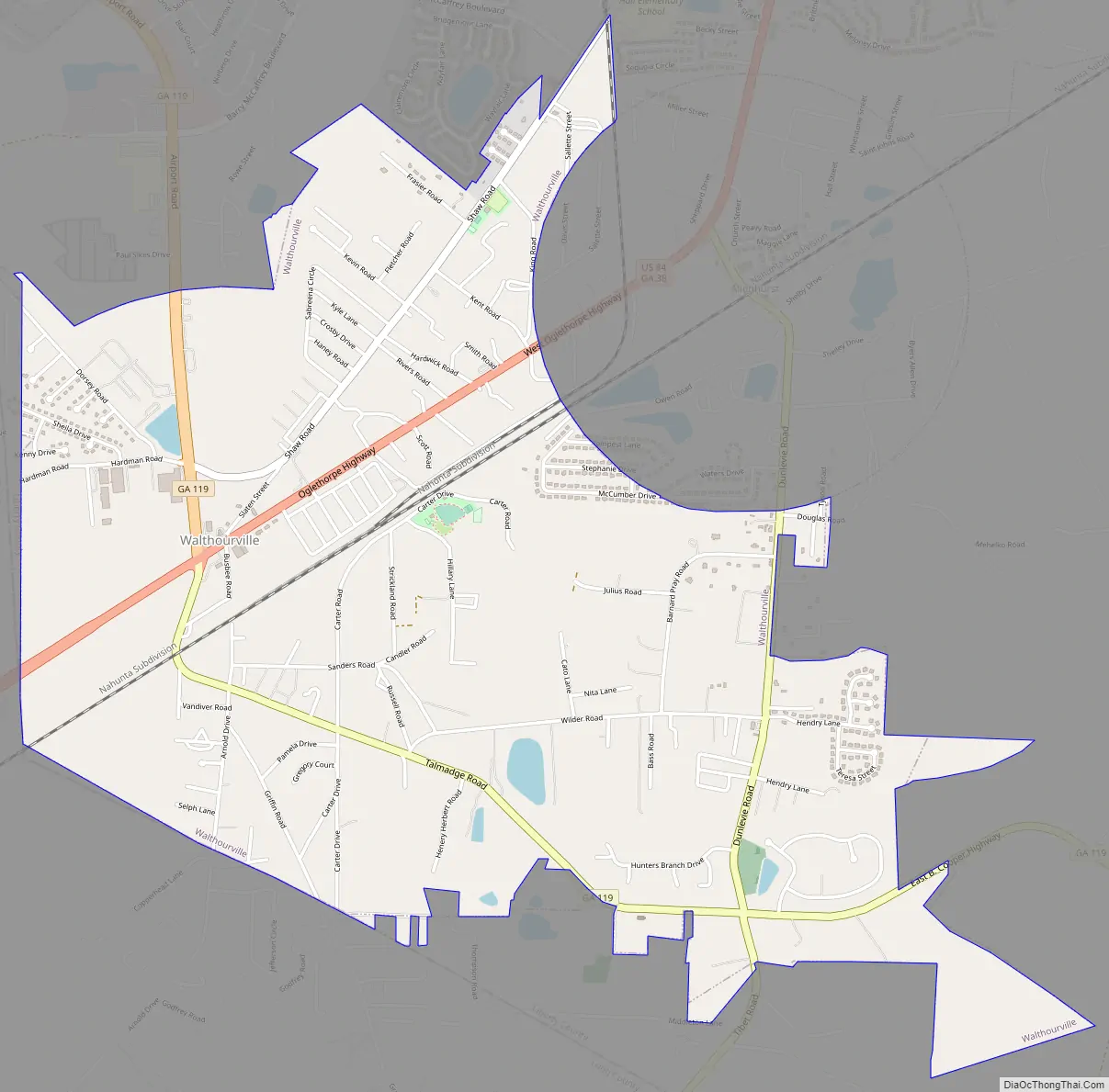
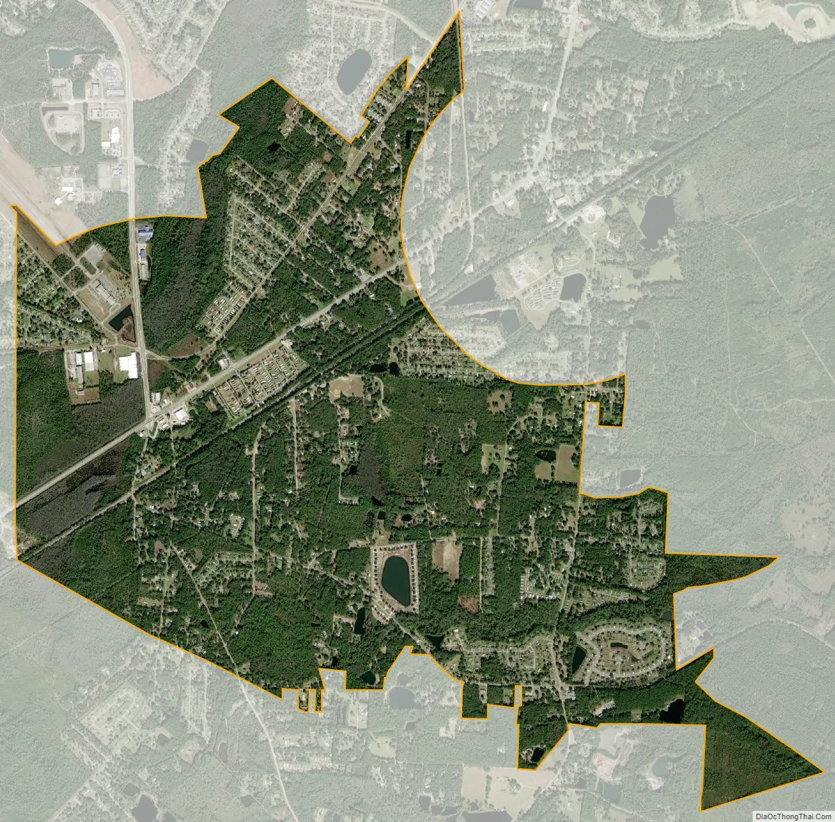
Walthourville city Satellite Map
Geography
Walthourville is located at 31°46′34″N 81°37′27″W / 31.77611°N 81.62417°W / 31.77611; -81.62417 (31.776124, -81.624229).
According to the United States Census Bureau, the city has a total area of 3.8 square miles (9.8 km), all land.
See also
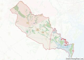
Map of Georgia State and its subdivision:- Appling
- Atkinson
- Bacon
- Baker
- Baldwin
- Banks
- Barrow
- Bartow
- Ben Hill
- Berrien
- Bibb
- Bleckley
- Brantley
- Brooks
- Bryan
- Bulloch
- Burke
- Butts
- Calhoun
- Camden
- Candler
- Carroll
- Catoosa
- Charlton
- Chatham
- Chattahoochee
- Chattooga
- Cherokee
- Clarke
- Clay
- Clayton
- Clinch
- Cobb
- Coffee
- Colquitt
- Columbia
- Cook
- Coweta
- Crawford
- Crisp
- Dade
- Dawson
- Decatur
- DeKalb
- Dodge
- Dooly
- Dougherty
- Douglas
- Early
- Echols
- Effingham
- Elbert
- Emanuel
- Evans
- Fannin
- Fayette
- Floyd
- Forsyth
- Franklin
- Fulton
- Gilmer
- Glascock
- Glynn
- Gordon
- Grady
- Greene
- Gwinnett
- Habersham
- Hall
- Hancock
- Haralson
- Harris
- Hart
- Heard
- Henry
- Houston
- Irwin
- Jackson
- Jasper
- Jeff Davis
- Jefferson
- Jenkins
- Johnson
- Jones
- Lamar
- Lanier
- Laurens
- Lee
- Liberty
- Lincoln
- Long
- Lowndes
- Lumpkin
- Macon
- Madison
- Marion
- McDuffie
- McIntosh
- Meriwether
- Miller
- Mitchell
- Monroe
- Montgomery
- Morgan
- Murray
- Muscogee
- Newton
- Oconee
- Oglethorpe
- Paulding
- Peach
- Pickens
- Pierce
- Pike
- Polk
- Pulaski
- Putnam
- Quitman
- Rabun
- Randolph
- Richmond
- Rockdale
- Schley
- Screven
- Seminole
- Spalding
- Stephens
- Stewart
- Sumter
- Talbot
- Taliaferro
- Tattnall
- Taylor
- Telfair
- Terrell
- Thomas
- Tift
- Toombs
- Towns
- Treutlen
- Troup
- Turner
- Twiggs
- Union
- Upson
- Walker
- Walton
- Ware
- Warren
- Washington
- Wayne
- Webster
- Wheeler
- White
- Whitfield
- Wilcox
- Wilkes
- Wilkinson
- Worth
- Alabama
- Alaska
- Arizona
- Arkansas
- California
- Colorado
- Connecticut
- Delaware
- District of Columbia
- Florida
- Georgia
- Hawaii
- Idaho
- Illinois
- Indiana
- Iowa
- Kansas
- Kentucky
- Louisiana
- Maine
- Maryland
- Massachusetts
- Michigan
- Minnesota
- Mississippi
- Missouri
- Montana
- Nebraska
- Nevada
- New Hampshire
- New Jersey
- New Mexico
- New York
- North Carolina
- North Dakota
- Ohio
- Oklahoma
- Oregon
- Pennsylvania
- Rhode Island
- South Carolina
- South Dakota
- Tennessee
- Texas
- Utah
- Vermont
- Virginia
- Washington
- West Virginia
- Wisconsin
- Wyoming