Bloomingdale is a city in Chatham County, Georgia, United States. As of the 2020 census, the city had a population of 2,790. It is part of the Savannah Metropolitan Statistical Area. Bloomingdale city overview: Name: Bloomingdale city LSAD Code: 25 LSAD Description: city (suffix) State: Georgia County: Chatham County Elevation: 20 ft (6 m) Total Area: 14.05 sq mi ... Read more
Georgia Cities and Places
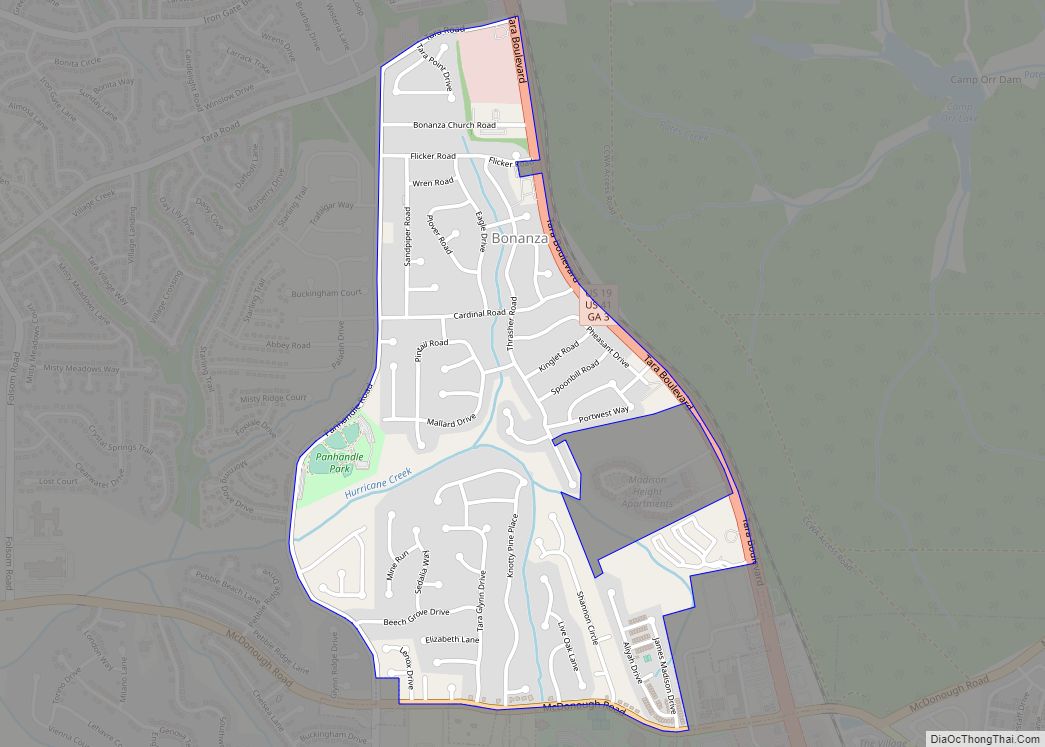
Bonanza is a census-designated place (CDP) in Clayton County, Georgia, United States. The population was 3,135 at the 2010 census. Bonanza CDP overview: Name: Bonanza CDP LSAD Code: 57 LSAD Description: CDP (suffix) State: Georgia County: Clayton County Elevation: 876 ft (267 m) Total Area: 1.05 sq mi (2.72 km²) Land Area: 1.05 sq mi (2.72 km²) Water Area: 0.00 sq mi (0.00 km²) Total Population: ... Read more
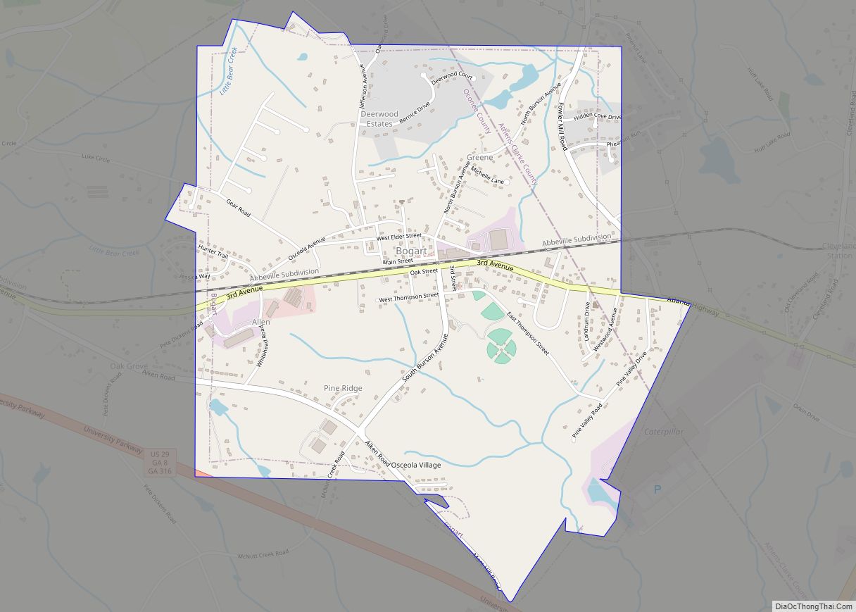
Bogart is a town in Clarke and Oconee counties in the U.S. state of Georgia. The town is mostly in Oconee County, with a portion extending into Clarke County. As of the 2020 census, the city had a population of 1,326. The 30622 ZIP code extends outside the boundary of Bogart into the western portion ... Read more
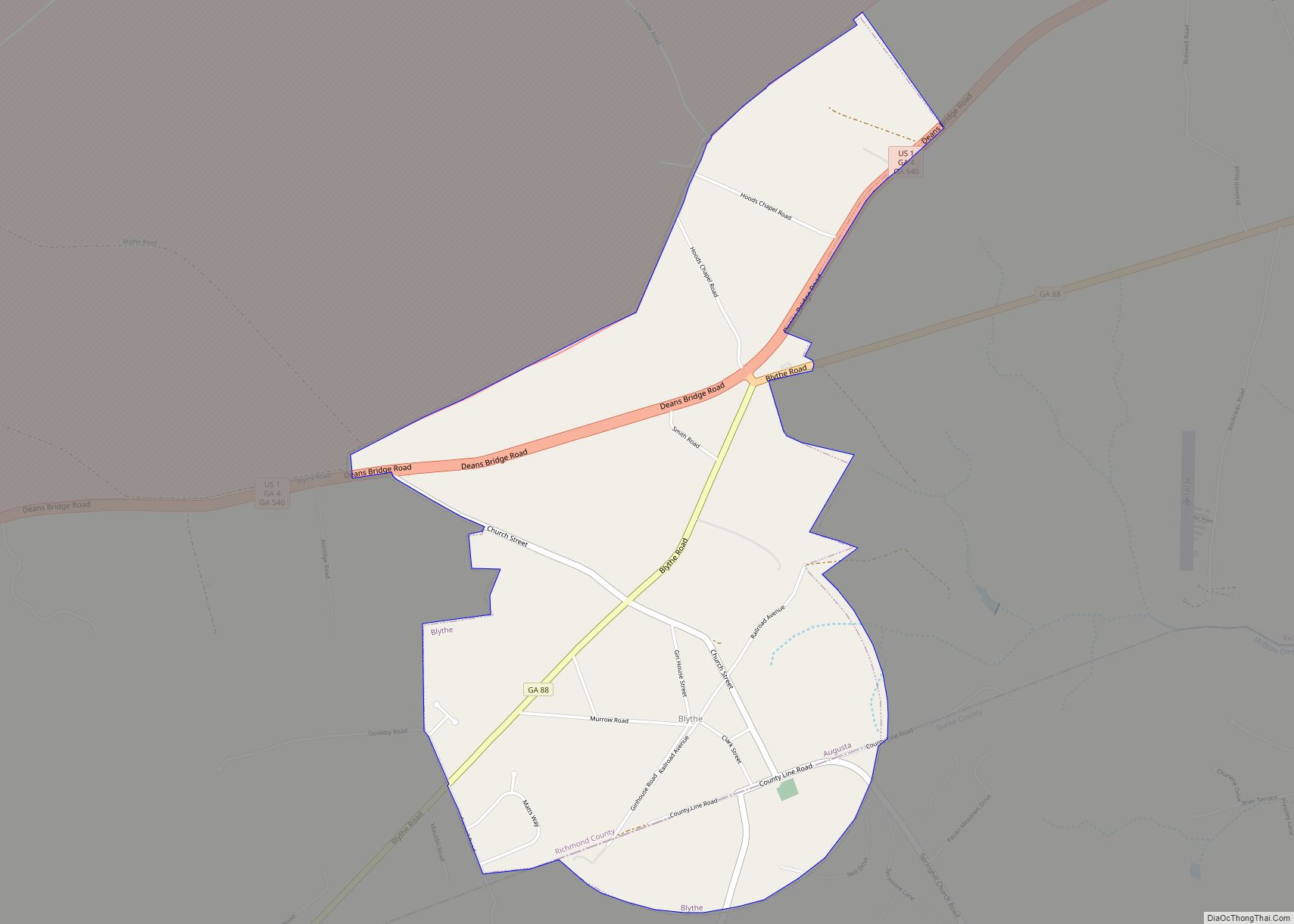
Blythe is a city in Richmond County in the U.S. state of Georgia. As of the 2020 census, the city had a population of 744. It is part of the Augusta, Georgia metropolitan area. Blythe city overview: Name: Blythe city LSAD Code: 25 LSAD Description: city (suffix) State: Georgia County: Burke County, Richmond County Elevation: ... Read more
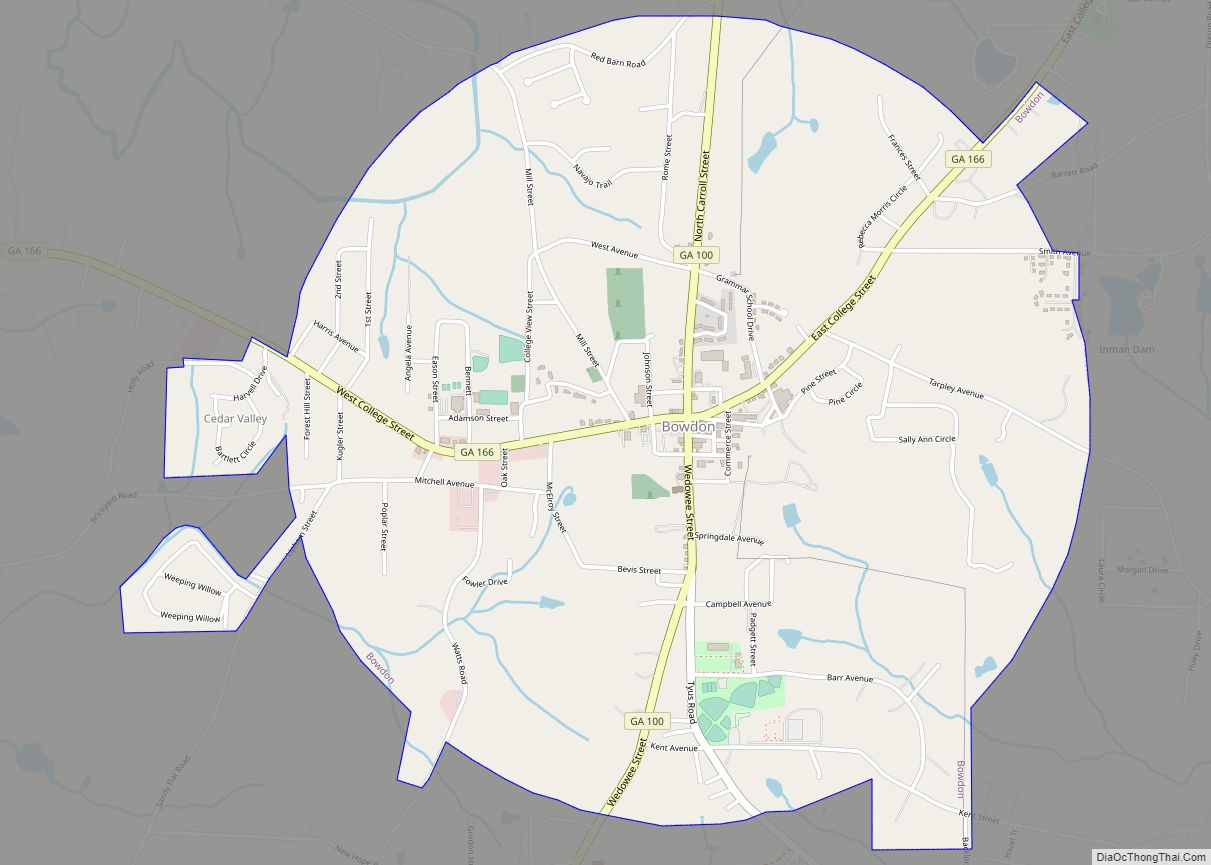
Bowdon is a city in Carroll County, Georgia, United States. As of the 2020 census, the city had a population of 2,161. Bowdon city overview: Name: Bowdon city LSAD Code: 25 LSAD Description: city (suffix) State: Georgia County: Carroll County Elevation: 1,079 ft (329 m) Total Area: 3.40 sq mi (8.80 km²) Land Area: 3.40 sq mi (8.80 km²) Water Area: 0.00 sq mi (0.00 km²) ... Read more
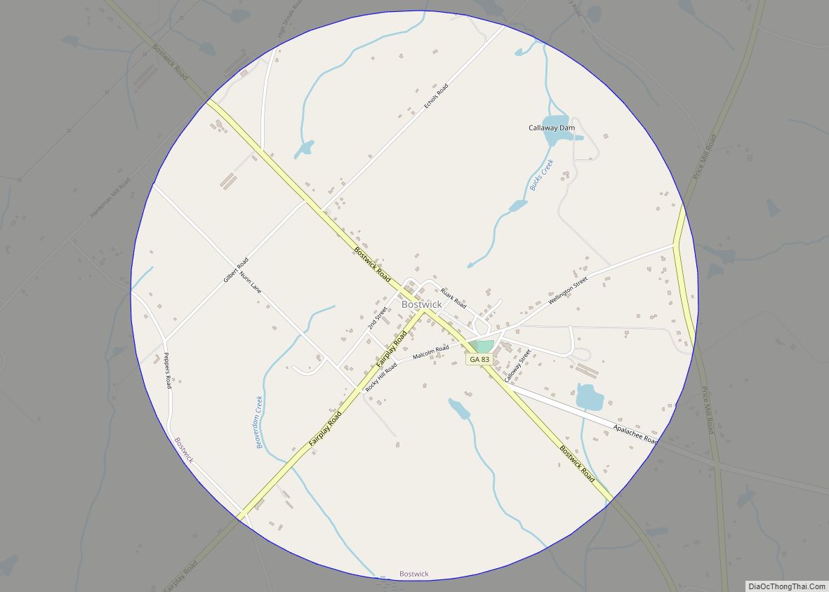
Bostwick is a town in Morgan County, Georgia, United States. As of the 2020 census, the city had a population of 378. Bostwick city overview: Name: Bostwick city LSAD Code: 25 LSAD Description: city (suffix) State: Georgia County: Morgan County Elevation: 761 ft (232 m) Total Area: 2.92 sq mi (7.56 km²) Land Area: 2.90 sq mi (7.52 km²) Water Area: 0.01 sq mi (0.04 km²) ... Read more
Boston is a city in Thomas County, Georgia, United States. As of the 2020 census, the city had a population of 1,207. Boston city overview: Name: Boston city LSAD Code: 25 LSAD Description: city (suffix) State: Georgia County: Thomas County Elevation: 207 ft (63 m) Total Area: 2.26 sq mi (5.85 km²) Land Area: 2.25 sq mi (5.84 km²) Water Area: 0.00 sq mi (0.01 km²) ... Read more
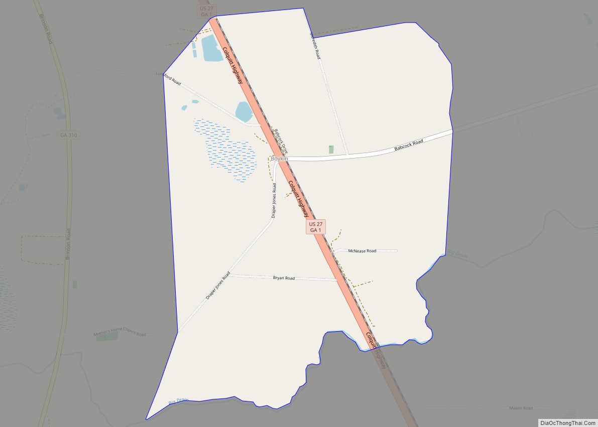
Boykin is an unincorporated community and census-designated place (CDP) in Miller County, Georgia, United States. As of the 2020 census it had a population of 151. Boykin CDP overview: Name: Boykin CDP LSAD Code: 57 LSAD Description: CDP (suffix) State: Georgia County: Miller County Elevation: 136 ft (41 m) Total Area: 2.425 sq mi (6.28 km²) Land Area: 2.421 sq mi (6.27 km²) ... Read more
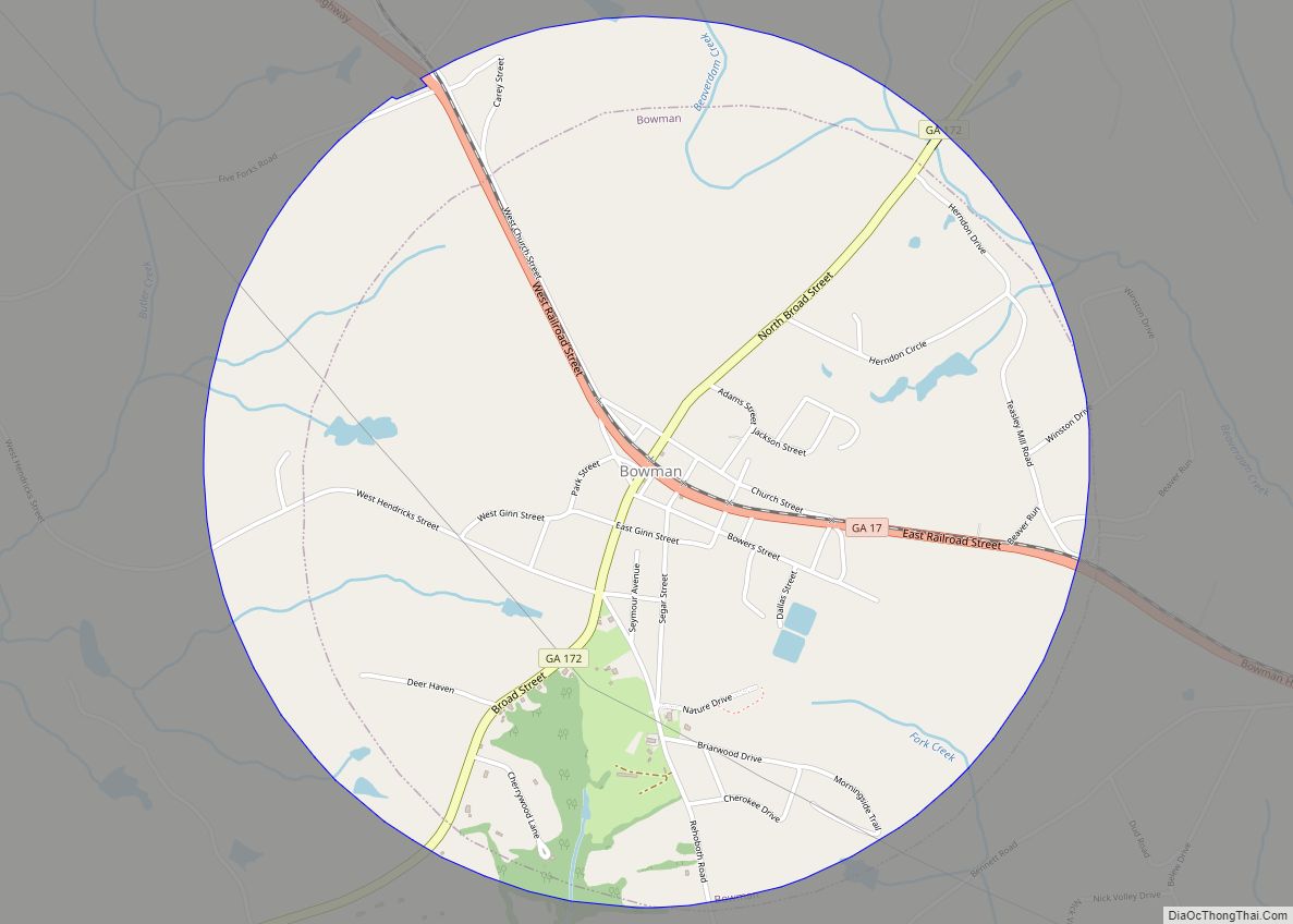
Bowman is a city in Elbert County, Georgia, United States. As of the 2020 census, the city had a population of 872. Bowman city overview: Name: Bowman city LSAD Code: 25 LSAD Description: city (suffix) State: Georgia County: Elbert County Elevation: 781 ft (238 m) Total Area: 3.14 sq mi (8.13 km²) Land Area: 3.12 sq mi (8.07 km²) Water Area: 0.02 sq mi (0.06 km²) ... Read more
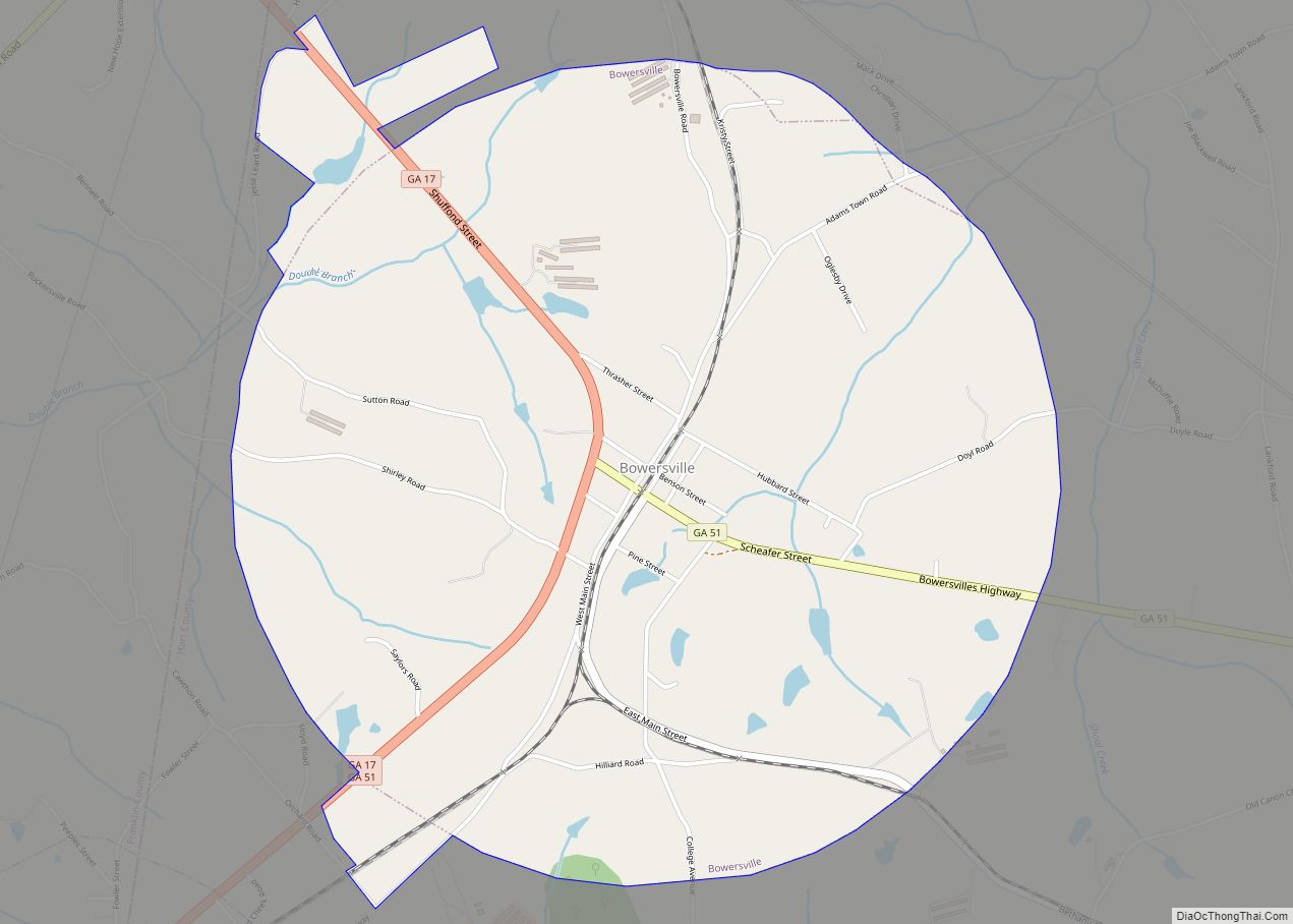
Bowersville is a town in Hart County, Georgia, United States. As of the 2020 census, the town had a population of 444. Bowersville town overview: Name: Bowersville town LSAD Code: 43 LSAD Description: town (suffix) State: Georgia County: Hart County Elevation: 919 ft (280 m) Total Area: 3.28 sq mi (8.50 km²) Land Area: 3.25 sq mi (8.42 km²) Water Area: 0.03 sq mi (0.08 km²) ... Read more
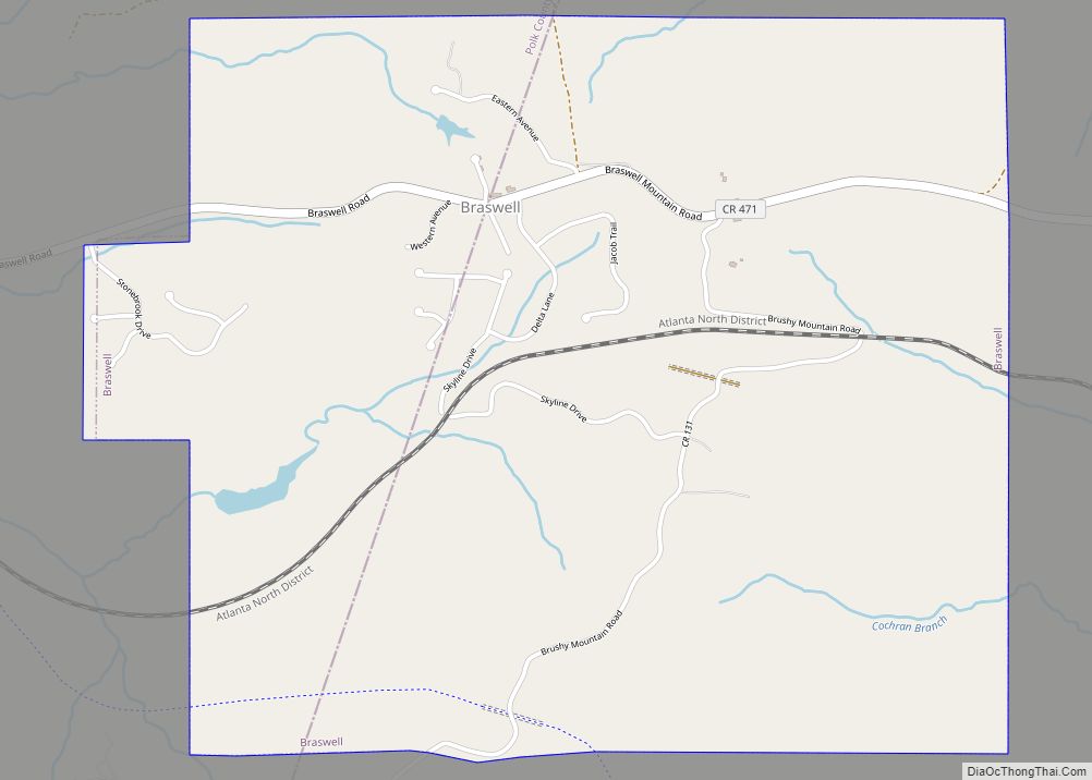
Braswell is a city in Polk and Paulding counties in the U.S. state of Georgia. As of the 2020 census, the city had a population of 355. Braswell town overview: Name: Braswell town LSAD Code: 43 LSAD Description: town (suffix) State: Georgia County: Paulding County, Polk County Elevation: 1,161 ft (354 m) Total Area: 3.18 sq mi (8.23 km²) Land ... Read more
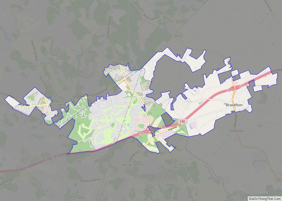
Braselton (/ˈbræzəltən/ BRAZ-əl-tən) is a town in Barrow, Gwinnett, Hall, and Jackson counties in the U.S. state of Georgia, approximately 43 miles (69 km) northeast of Atlanta. As of the 2010 census, the town had a population of 7,511, and in 2018 the estimated population was 11,652. The Gwinnett and Barrow County portions of Braselton are ... Read more

