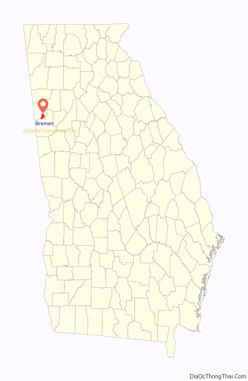
Bremen (/ˈbriːmən/ BREE-mən) is a city in Haralson and Carroll counties, Georgia, United States. As of the 2010 census, the city had a population of 6,227, up from 4,579 at the 2000 census. Most of the city is in Haralson County, with a small portion in Carroll County.
| Name: | Bremen city |
|---|---|
| LSAD Code: | 25 |
| LSAD Description: | city (suffix) |
| State: | Georgia |
| County: | Carroll County, Haralson County |
| Elevation: | 1,394 ft (425 m) |
| Total Area: | 10.64 sq mi (27.56 km²) |
| Land Area: | 10.61 sq mi (27.48 km²) |
| Water Area: | 0.03 sq mi (0.07 km²) |
| Total Population: | 7,185 |
| Population Density: | 677.06/sq mi (261.43/km²) |
| Area code: | 770 |
| FIPS code: | 1310132 |
| GNISfeature ID: | 0354845 |
| Website: | www.bremenga.gov |
Online Interactive Map
Click on ![]() to view map in "full screen" mode.
to view map in "full screen" mode.
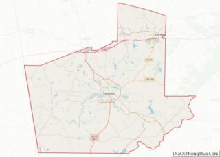
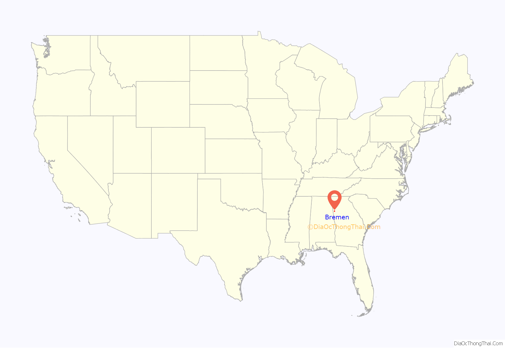
Bremen location map. Where is Bremen city?
History
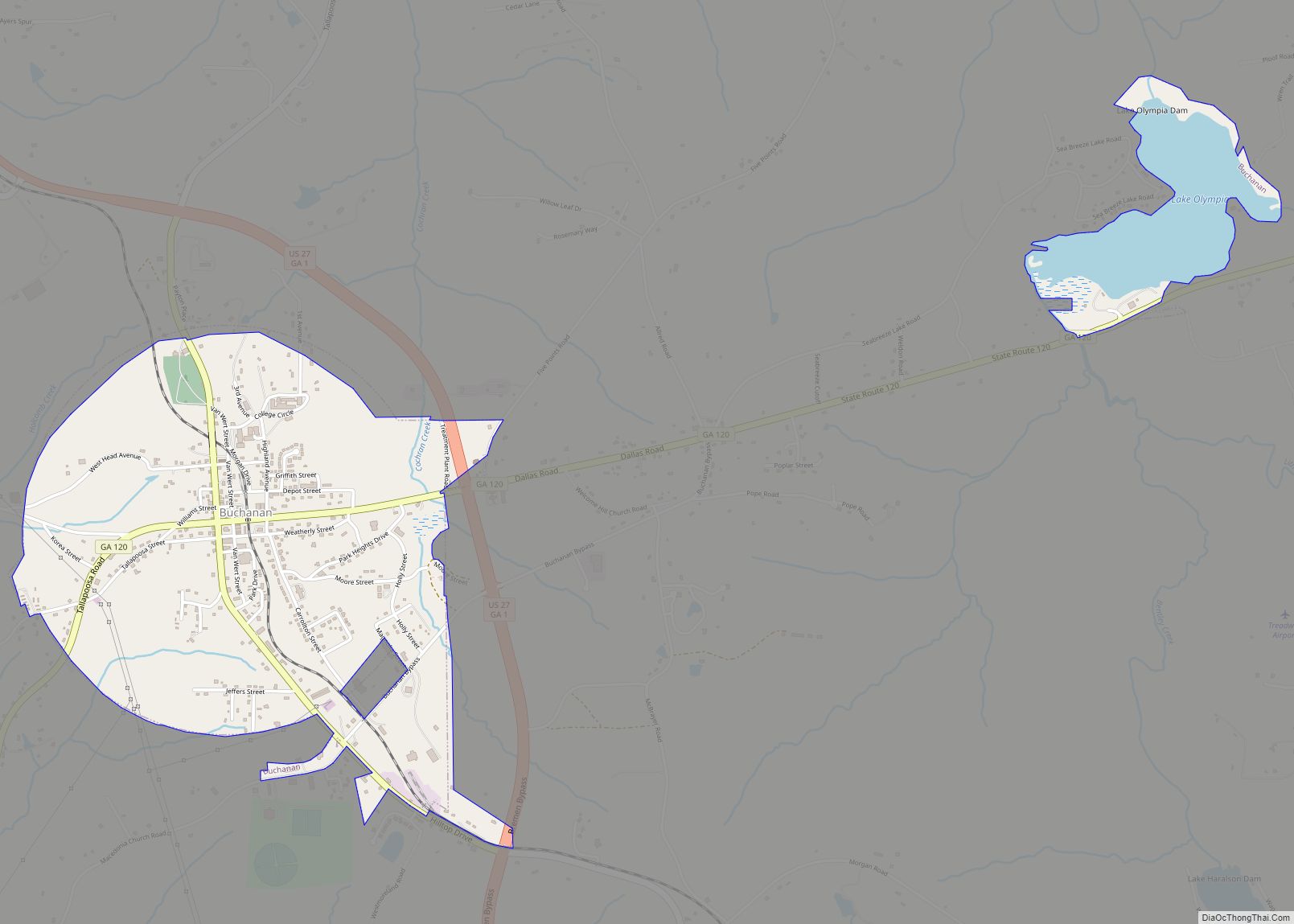
The town of Kramer was incorporated on September 5, 1883, and given the name Bremen. It was originally named for a German immigrant who owned a local vineyard but the name was changed at Kramer’s request to honor the city of Bremen, Germany.
Bremen’s economy was given a significant boost when the Chattanooga, Rome and Columbus Railroad was built, intersecting the Georgia Pacific at Bremen. This and other circumstances have helped Bremen to grow from a simple railroad junction settled by German immigrants to the largest town in Haralson County.
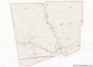
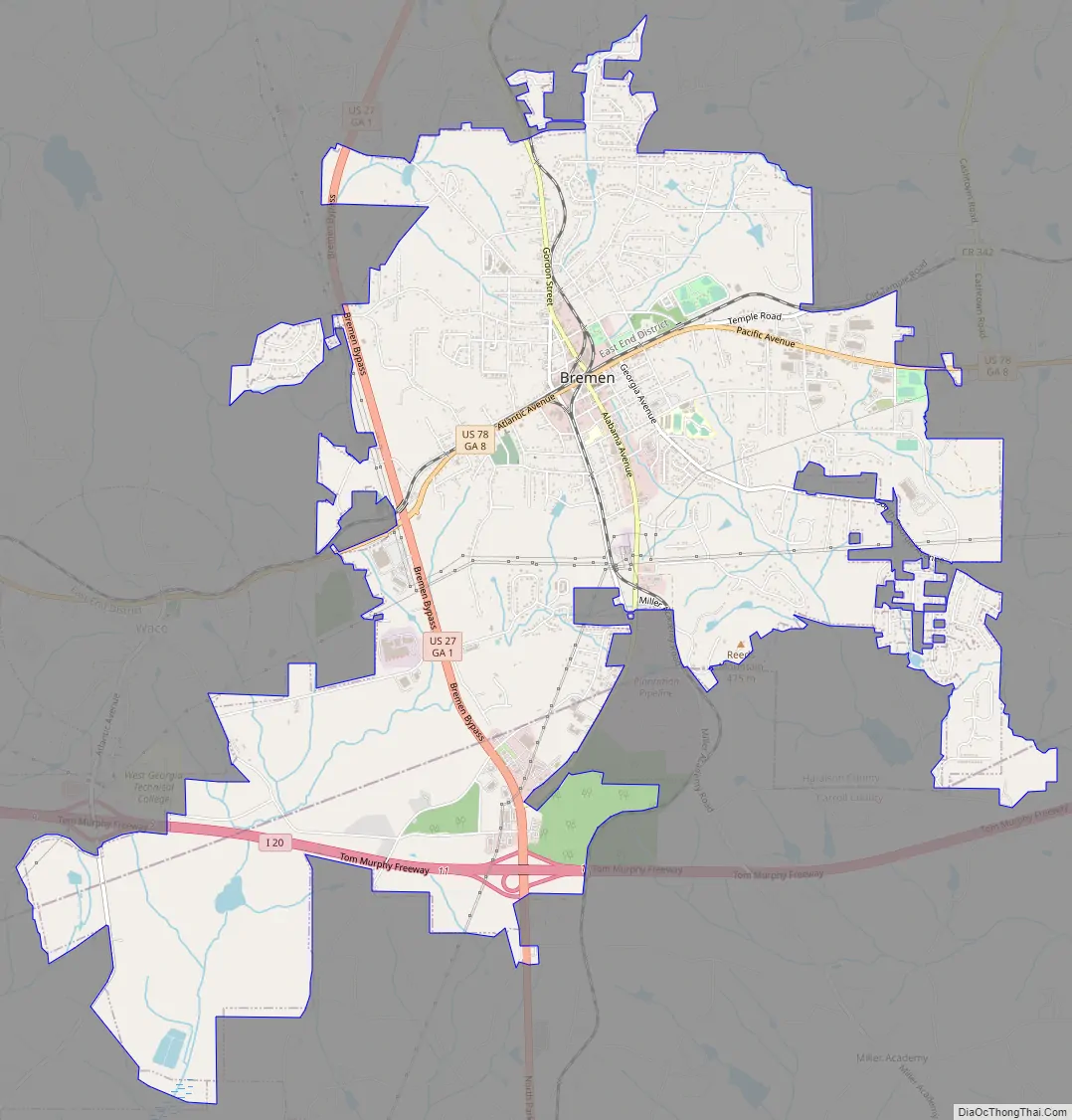
Bremen Road Map
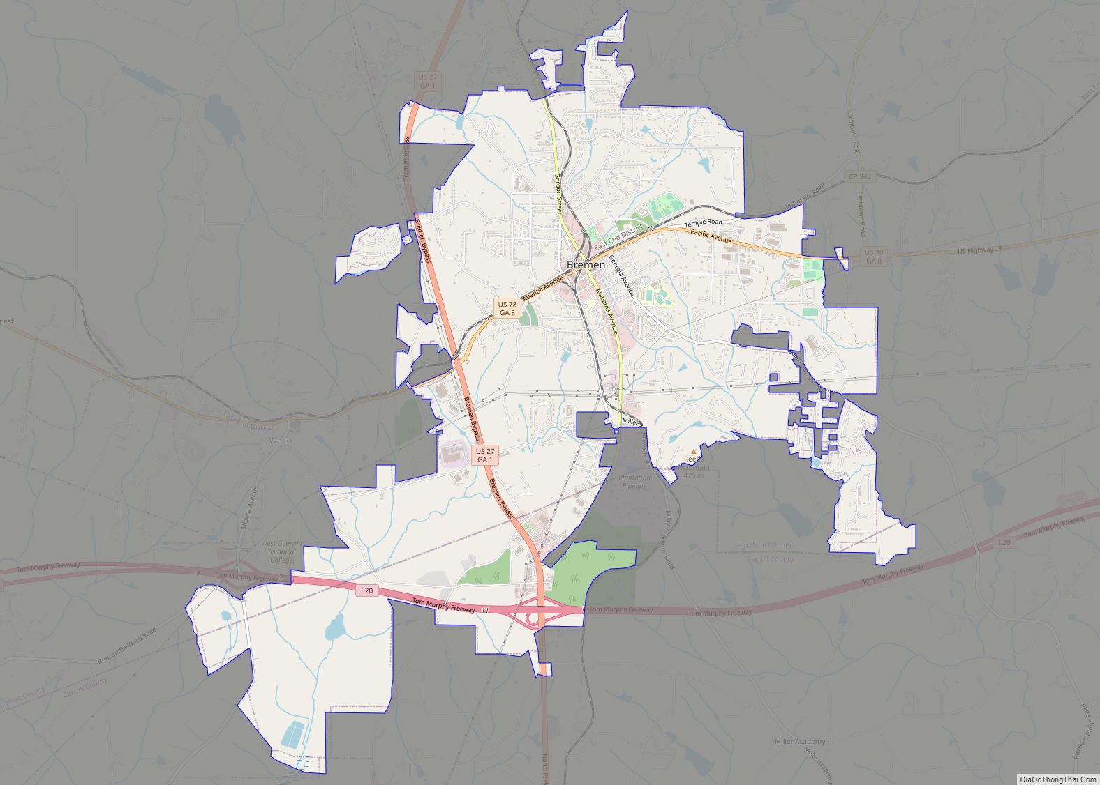
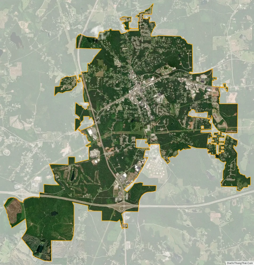
Bremen city Satellite Map
Geography
Bremen is located in southern Haralson County and northern Carroll County at 33°42′57″N 85°8′50″W / 33.71583°N 85.14722°W / 33.71583; -85.14722 (33.715933, -85.147213). U.S. Route 78 passes through the center of the city, leading east 6 miles (10 km) to Temple and west 9 miles (14 km) to Tallapoosa. U.S. Route 27 passes through the western part of the city, leading north 45 miles (72 km) to Rome and south 53 miles (85 km) to LaGrange. Interstate 20 passes through the southern part of the city, leading east 46 miles (74 km) to Atlanta and west 100 miles (160 km) to Birmingham, Alabama.
According to the United States Census Bureau, Bremen has a total area of 10.5 square miles (27.3 km), of which 0.027 square miles (0.07 km), or 0.27%, is water.
See also
Map of Georgia State and its subdivision:- Appling
- Atkinson
- Bacon
- Baker
- Baldwin
- Banks
- Barrow
- Bartow
- Ben Hill
- Berrien
- Bibb
- Bleckley
- Brantley
- Brooks
- Bryan
- Bulloch
- Burke
- Butts
- Calhoun
- Camden
- Candler
- Carroll
- Catoosa
- Charlton
- Chatham
- Chattahoochee
- Chattooga
- Cherokee
- Clarke
- Clay
- Clayton
- Clinch
- Cobb
- Coffee
- Colquitt
- Columbia
- Cook
- Coweta
- Crawford
- Crisp
- Dade
- Dawson
- Decatur
- DeKalb
- Dodge
- Dooly
- Dougherty
- Douglas
- Early
- Echols
- Effingham
- Elbert
- Emanuel
- Evans
- Fannin
- Fayette
- Floyd
- Forsyth
- Franklin
- Fulton
- Gilmer
- Glascock
- Glynn
- Gordon
- Grady
- Greene
- Gwinnett
- Habersham
- Hall
- Hancock
- Haralson
- Harris
- Hart
- Heard
- Henry
- Houston
- Irwin
- Jackson
- Jasper
- Jeff Davis
- Jefferson
- Jenkins
- Johnson
- Jones
- Lamar
- Lanier
- Laurens
- Lee
- Liberty
- Lincoln
- Long
- Lowndes
- Lumpkin
- Macon
- Madison
- Marion
- McDuffie
- McIntosh
- Meriwether
- Miller
- Mitchell
- Monroe
- Montgomery
- Morgan
- Murray
- Muscogee
- Newton
- Oconee
- Oglethorpe
- Paulding
- Peach
- Pickens
- Pierce
- Pike
- Polk
- Pulaski
- Putnam
- Quitman
- Rabun
- Randolph
- Richmond
- Rockdale
- Schley
- Screven
- Seminole
- Spalding
- Stephens
- Stewart
- Sumter
- Talbot
- Taliaferro
- Tattnall
- Taylor
- Telfair
- Terrell
- Thomas
- Tift
- Toombs
- Towns
- Treutlen
- Troup
- Turner
- Twiggs
- Union
- Upson
- Walker
- Walton
- Ware
- Warren
- Washington
- Wayne
- Webster
- Wheeler
- White
- Whitfield
- Wilcox
- Wilkes
- Wilkinson
- Worth
- Alabama
- Alaska
- Arizona
- Arkansas
- California
- Colorado
- Connecticut
- Delaware
- District of Columbia
- Florida
- Georgia
- Hawaii
- Idaho
- Illinois
- Indiana
- Iowa
- Kansas
- Kentucky
- Louisiana
- Maine
- Maryland
- Massachusetts
- Michigan
- Minnesota
- Mississippi
- Missouri
- Montana
- Nebraska
- Nevada
- New Hampshire
- New Jersey
- New Mexico
- New York
- North Carolina
- North Dakota
- Ohio
- Oklahoma
- Oregon
- Pennsylvania
- Rhode Island
- South Carolina
- South Dakota
- Tennessee
- Texas
- Utah
- Vermont
- Virginia
- Washington
- West Virginia
- Wisconsin
- Wyoming