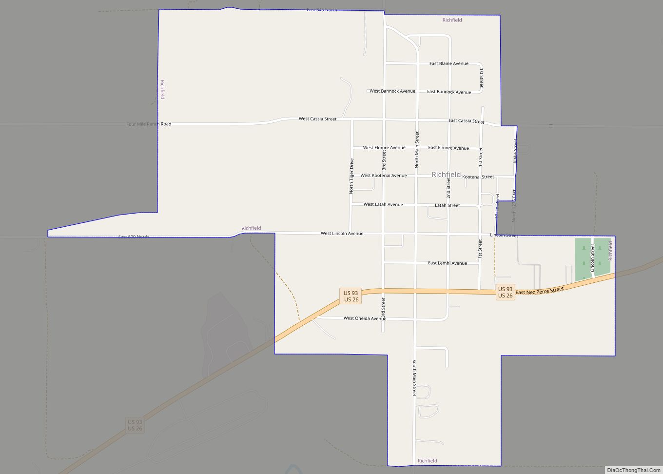
Richfield is a city in Lincoln County, Idaho, in the United States. The population was 482 at the 2010 census. Richfield city overview: Name: Richfield city LSAD Code: 25 LSAD Description: city (suffix) State: Idaho County: Lincoln County Elevation: 4,298 ft (1,310 m) Total Area: 0.66 sq mi (1.70 km²) Land Area: 0.66 sq mi (1.70 km²) Water Area: 0.00 sq mi (0.00 km²) Total Population: ... Read more
Idaho Cities and Places
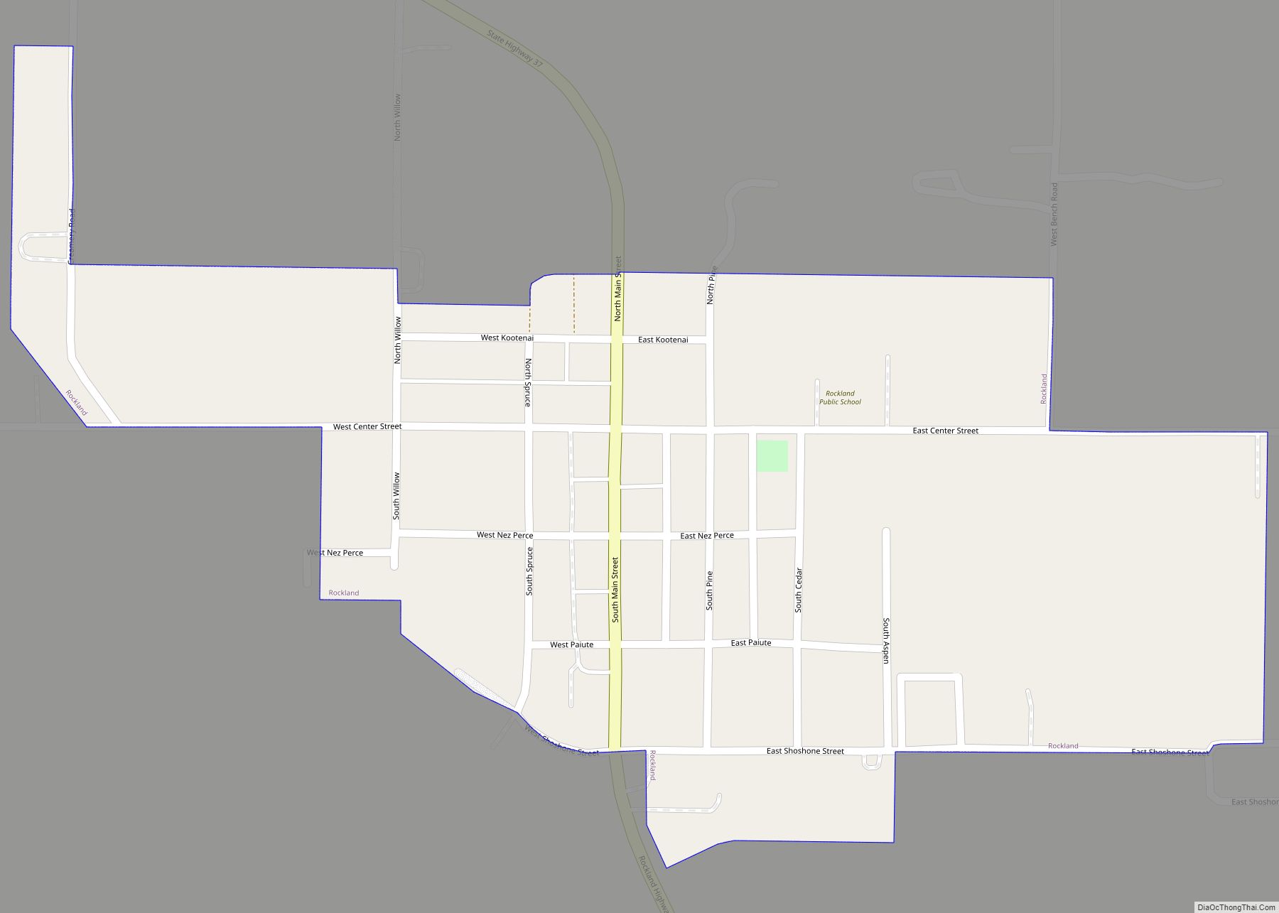
Rockland is a city in Power County, Idaho, United States. The population was 295 at the 2010 census. Rockland city overview: Name: Rockland city LSAD Code: 25 LSAD Description: city (suffix) State: Idaho County: Power County Elevation: 4,649 ft (1,417 m) Total Area: 0.28 sq mi (0.73 km²) Land Area: 0.28 sq mi (0.73 km²) Water Area: 0.00 sq mi (0.00 km²) Total Population: 295 Population ... Read more
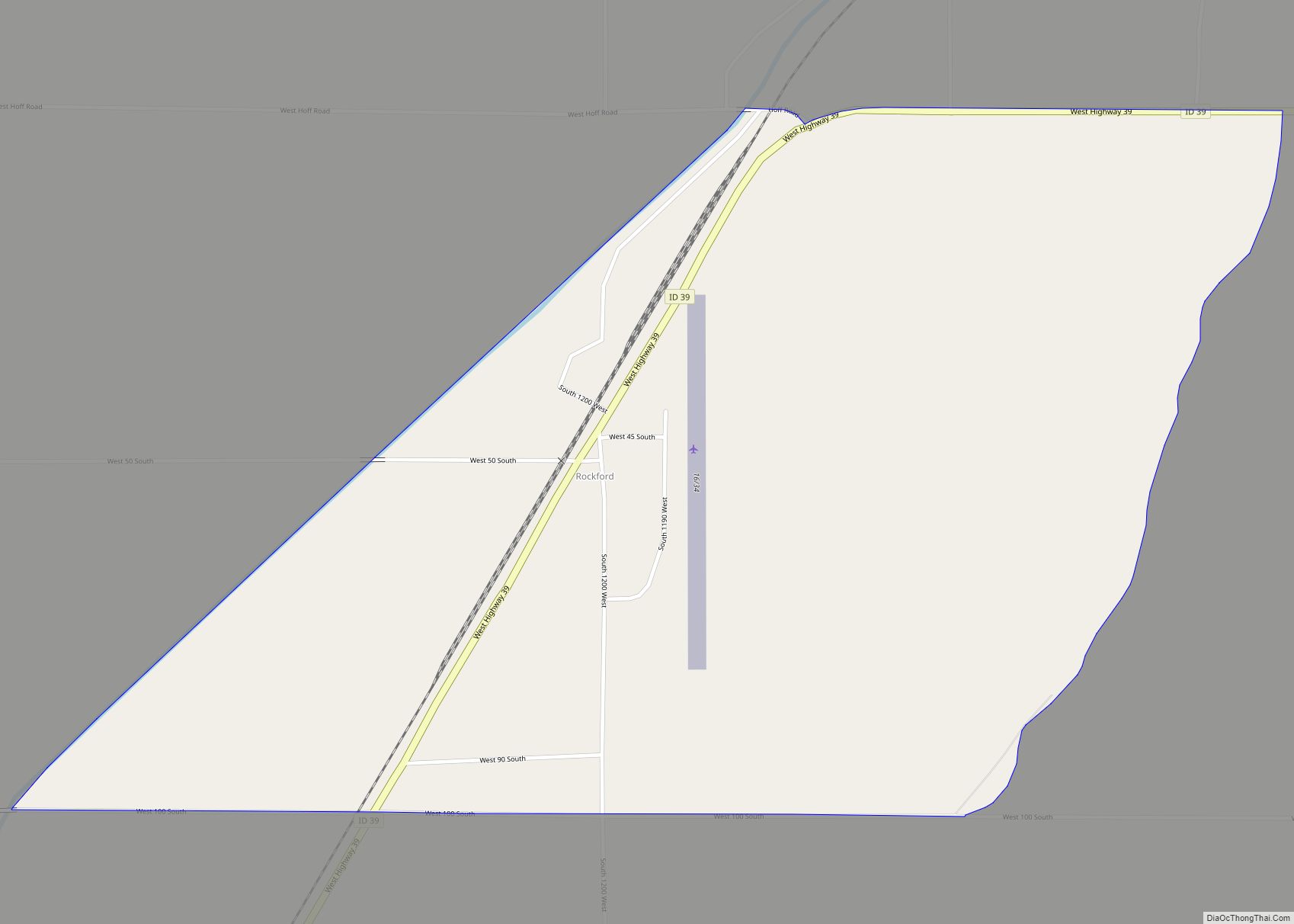
Rockford is a census-designated place in Bingham County, Idaho, United States. Its population was 276 as of the 2010 census. Rockford CDP overview: Name: Rockford CDP LSAD Code: 57 LSAD Description: CDP (suffix) State: Idaho County: Bingham County Elevation: 4,465 ft (1,361 m) Total Area: 1.110 sq mi (2.87 km²) Land Area: 1.110 sq mi (2.87 km²) Water Area: 0 sq mi (0 km²) Total Population: ... Read more
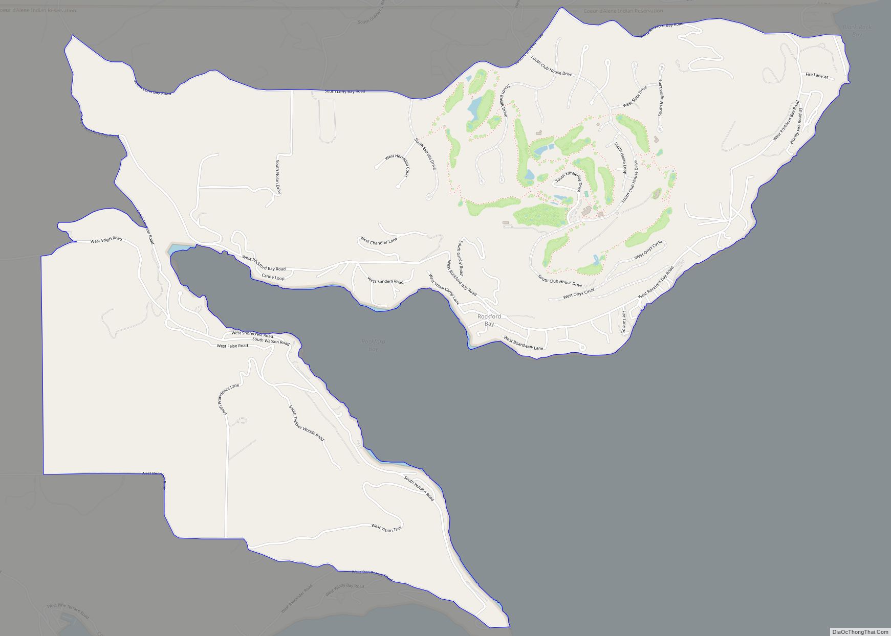
Rockford Bay is an unincorporated census-designated place in Kootenai County, Idaho, United States. Rockford Bay is located on Rockford Bay of Coeur d’Alene Lake, 12.5 miles (20.1 km) south-southwest of Coeur d’Alene. As of the 2010 census, its population was 184. Rockford Bay CDP overview: Name: Rockford Bay CDP LSAD Code: 57 LSAD Description: CDP (suffix) ... Read more
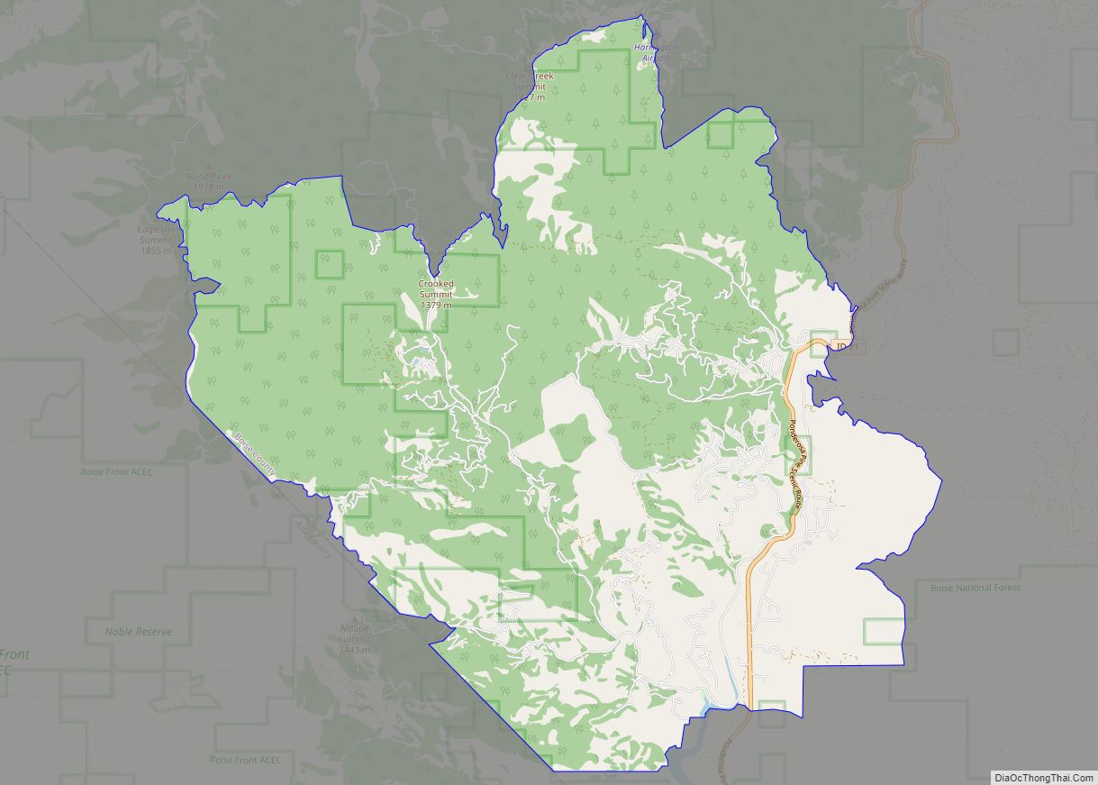
Robie Creek is a census-designated place in Boise County, Idaho, United States. Its population was 1,162 as of the 2010 census. Robie Creek offers a recreation area with swimming, children’s play area and a boat launch and dock Robie Creek Park. Vault toilets are available however cell phone service is not. Robie Creek CDP overview: ... Read more
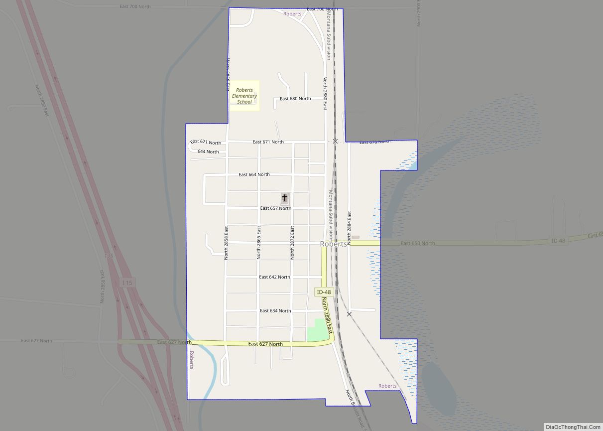
Roberts is a city in Jefferson County, Idaho, United States. It is part of the Idaho Falls, Idaho Metropolitan Statistical Area. The population was 580 at the 2010 census. Roberts city overview: Name: Roberts city LSAD Code: 25 LSAD Description: city (suffix) State: Idaho County: Jefferson County Elevation: 4,777 ft (1,456 m) Total Area: 0.32 sq mi (0.84 km²) Land ... Read more
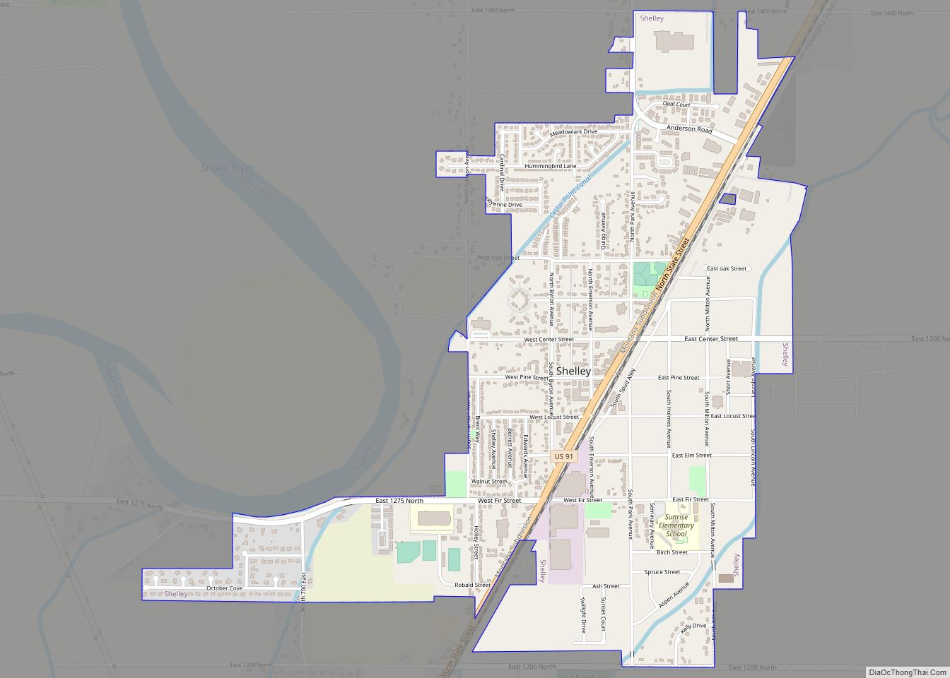
Shelley is a city in Bingham County, Idaho. The population was 4,409 at the 2010 census. The mascot for the city’s high school is a Russet Burbank potato that wears a crown, robe and scepter. Since 1927 Shelley has been home to the “Idaho Annual Spud Day”, which is celebrated on the 3rd Saturday of ... Read more
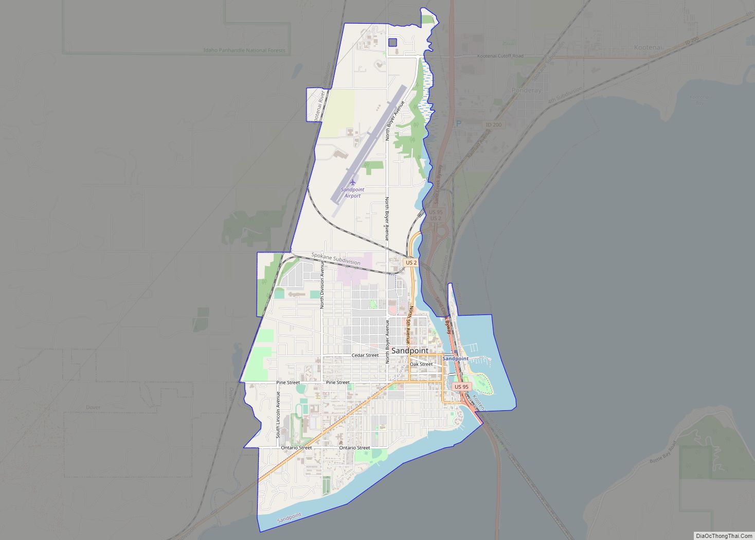
Sandpoint (Kutenai language: kamanqukuⱡ) is the largest city in, and the county seat of, Bonner County, Idaho. Its population was 8,639 at the 2020 census. Sandpoint’s major economic contributors include forest products, light manufacturing, tourism, recreation and government services. As the largest service center in the two northern Idaho counties (Bonner and Boundary), as well ... Read more
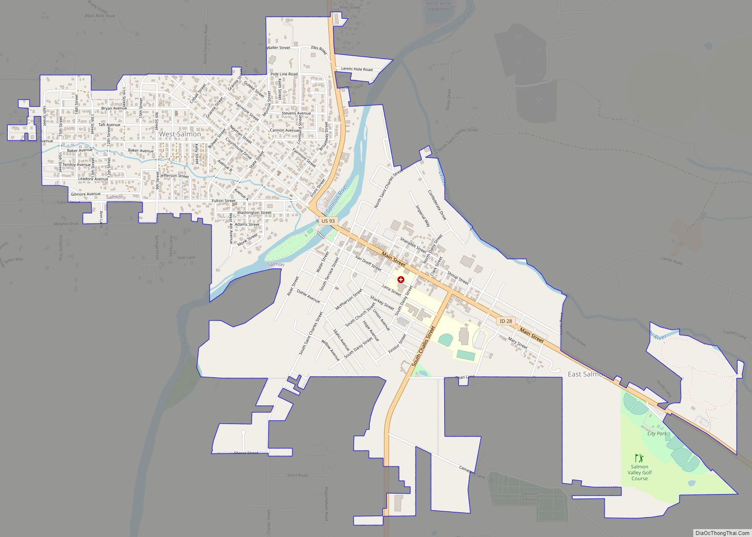
Salmon is a city in Lemhi County, Idaho. The population was 3,112 at the 2010 census. The city is the county seat of Lemhi County. Salmon city overview: Name: Salmon city LSAD Code: 25 LSAD Description: city (suffix) State: Idaho County: Lemhi County Elevation: 3,944 ft (1,202 m) Total Area: 2.54 sq mi (6.59 km²) Land Area: 2.51 sq mi (6.49 km²) Water ... Read more
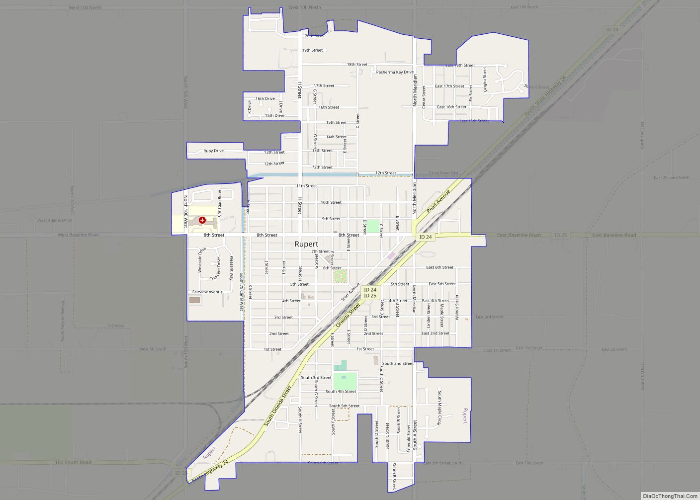
Rupert is the county seat and largest city of Minidoka County, Idaho,. It is part of the Burley Micropolitan Statistical Area. The population was 6,082 at the 2020 census, up from 5,554 in 2010. Rupert, founded in 1906, sprang up after the announcement of the Minidoka Reclamation Project, which provided irrigation and electricity following the ... Read more
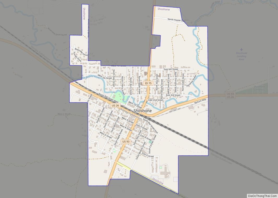
Shoshone (/ʃoʊˈʃoʊn/) is the county seat and largest city of Lincoln County, Idaho, United States. The population was 1,461 at the 2010 census. In contrast to the Shoshone Native American tribe for which it is named, the city’s name is correctly pronounced “Show-shown”, with a silent “e”. Shoshone city overview: Name: Shoshone city LSAD Code: ... Read more
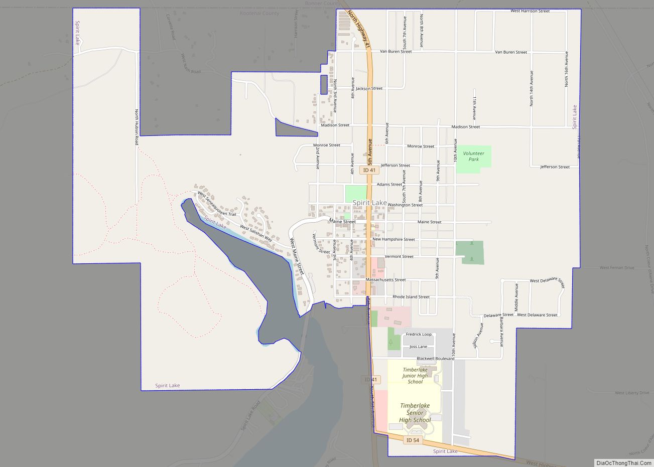
Spirit Lake is a city in Kootenai County, Idaho. The population was 1,945 at the time of the 2010 census, up from 1,376 in 2000. It is part of the Coeur d’Alene Metropolitan Statistical Area, which includes the entire county. Spirit Lake city overview: Name: Spirit Lake city LSAD Code: 25 LSAD Description: city (suffix) ... Read more
