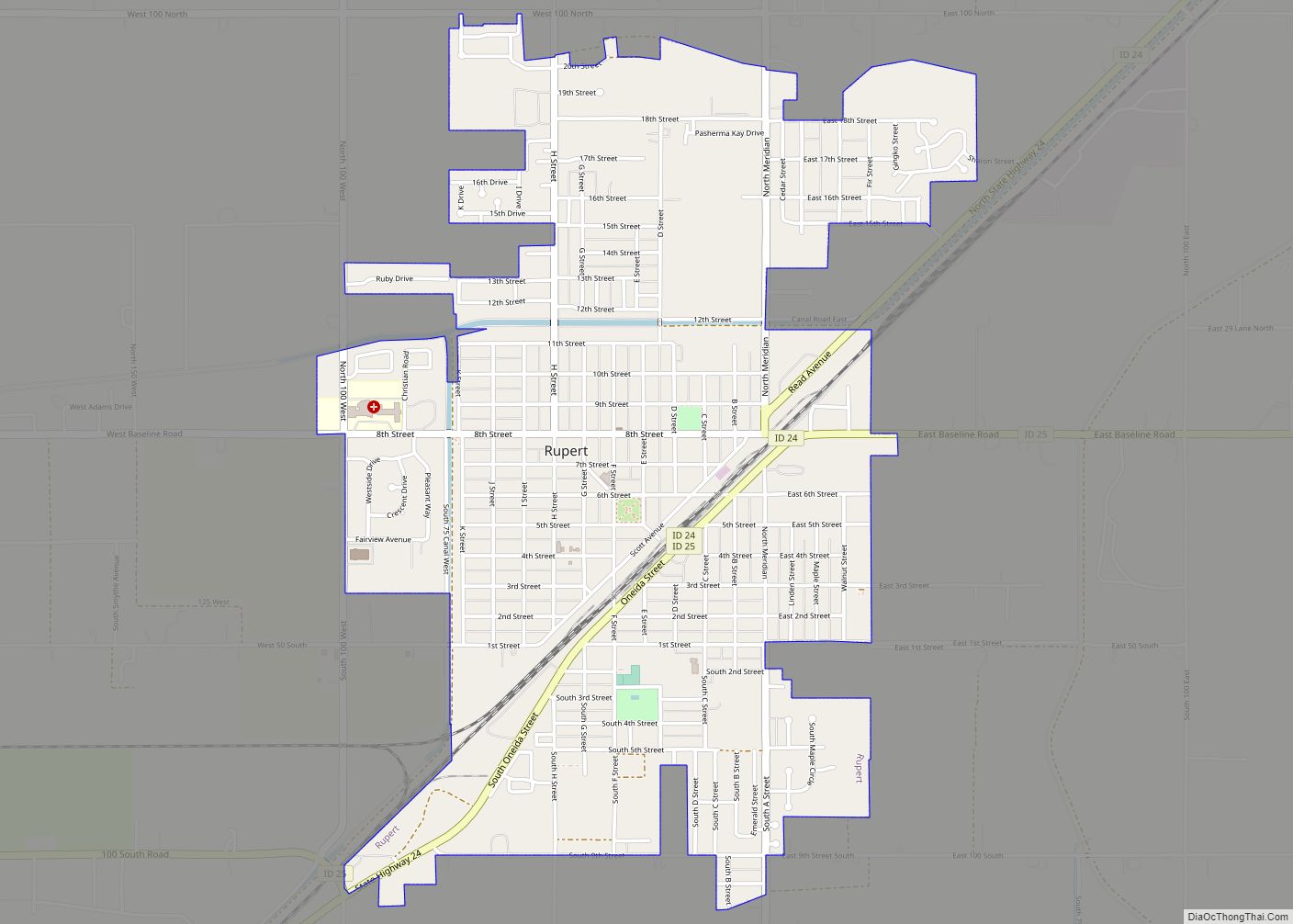
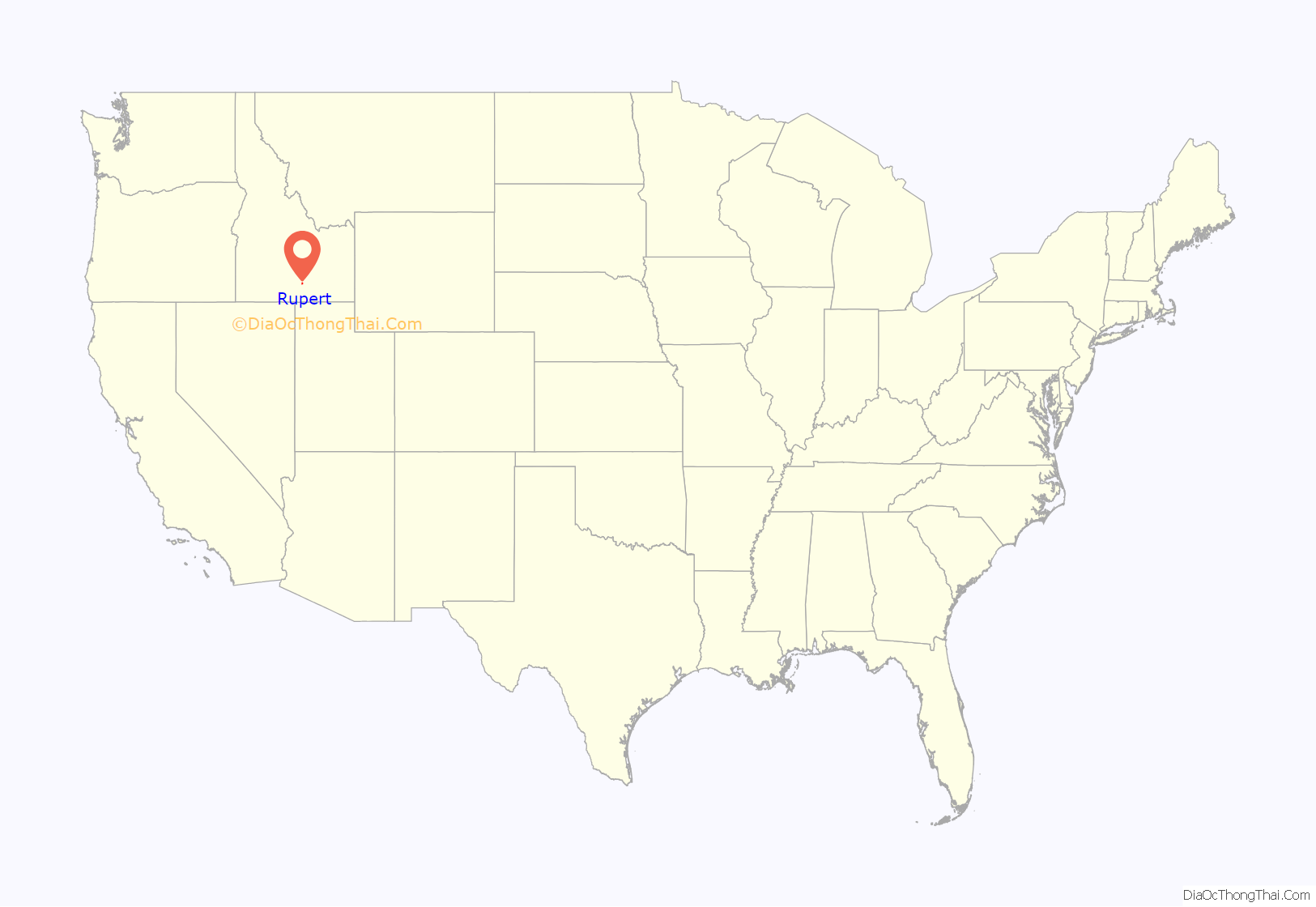
Rupert is the county seat and largest city of Minidoka County, Idaho,. It is part of the Burley Micropolitan Statistical Area. The population was 6,082 at the 2020 census, up from 5,554 in 2010.
Rupert, founded in 1906, sprang up after the announcement of the Minidoka Reclamation Project, which provided irrigation and electricity following the completion of the Minidoka Dam on the Snake River in 1906. After the dam was built, Rupert became one of the first cities in the world to have its streets lit by electricity.
| Name: | Rupert city |
|---|---|
| LSAD Code: | 25 |
| LSAD Description: | city (suffix) |
| State: | Idaho |
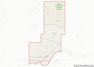
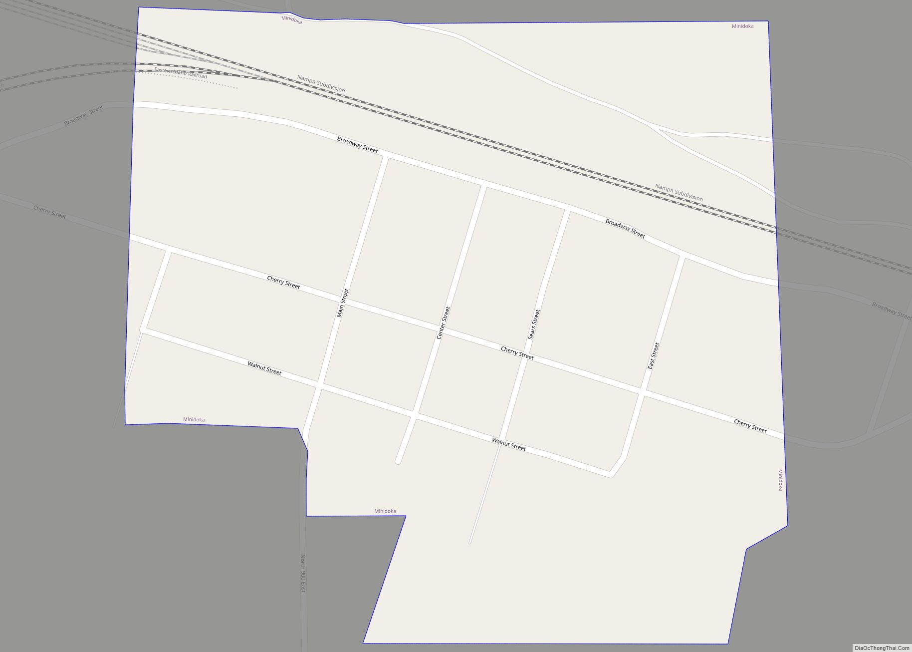
| County: | Minidoka County |
| Elevation: | 4,157 ft (1,267 m) |
| Total Area: | 2.06 sq mi (5.33 km²) |
| Land Area: | 2.06 sq mi (5.33 km²) |
| Water Area: | 0.00 sq mi (0.00 km²) |
| Total Population: | 6,082 |
| Population Density: | 2,953.9/sq mi (1,140.5/km²) |
| ZIP code: | 83343, 83350 |
| Area code: | 208, 986 |
| FIPS code: | 1670660 |
| GNISfeature ID: | 0374811 |
| Website: | www.rupert-idaho.com |
Online Interactive Map
Click on ![]() to view map in "full screen" mode.
to view map in "full screen" mode.
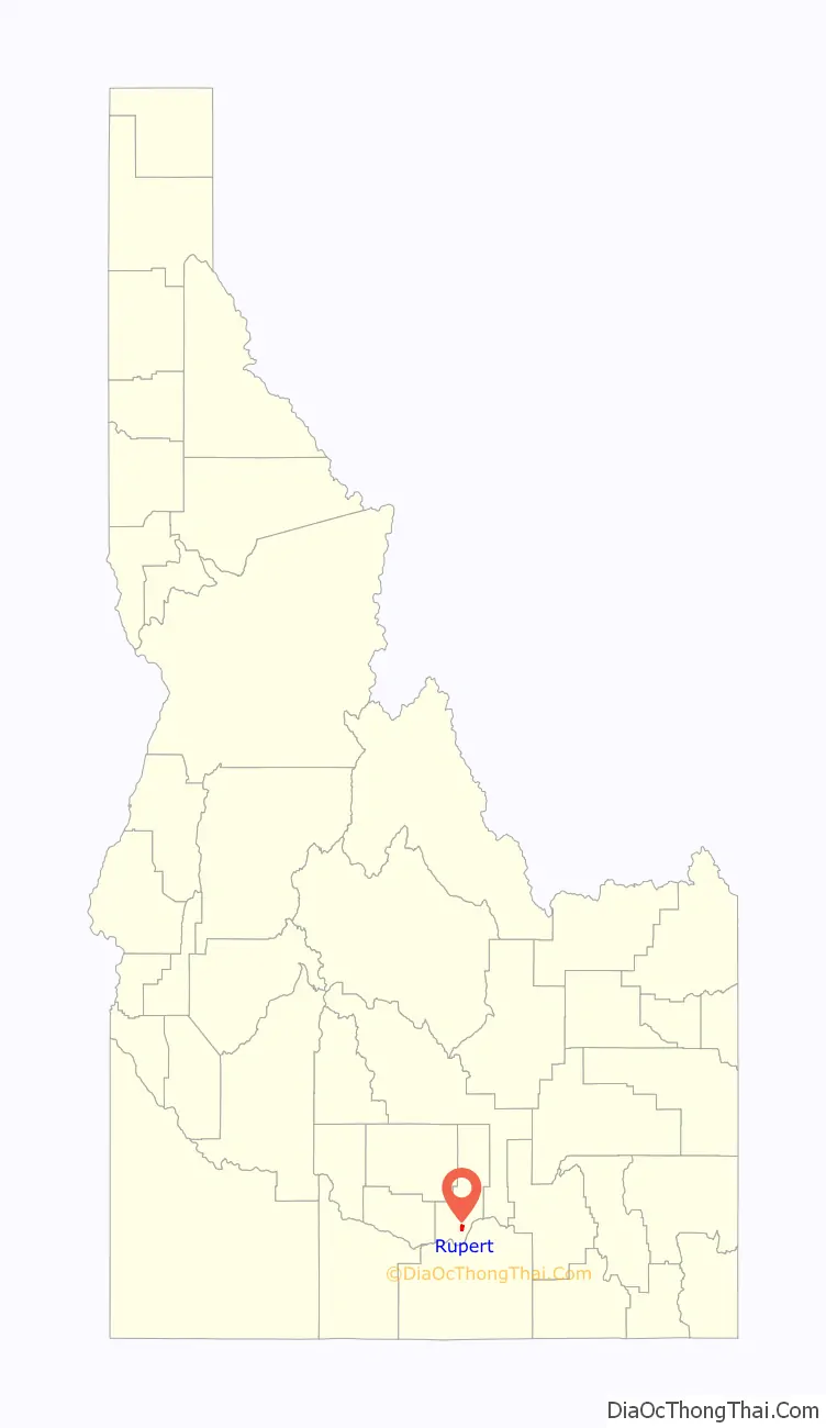
Rupert location map. Where is Rupert city?
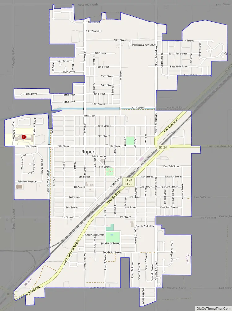
Rupert Road Map
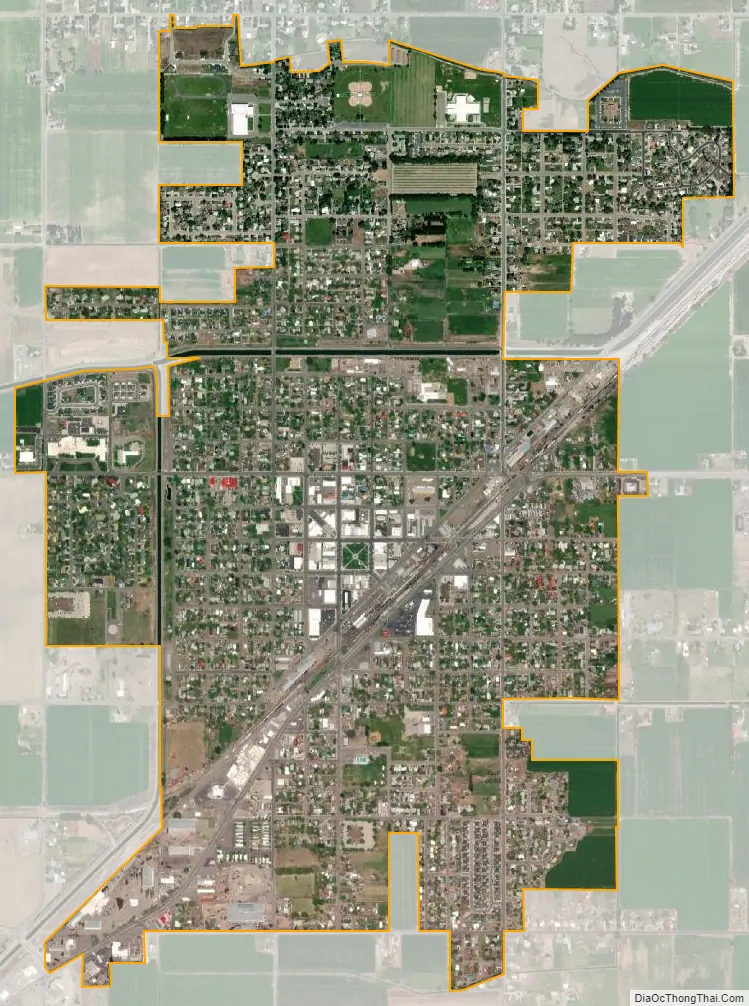
Rupert city Satellite Map
Geography
Rupert is located in southern Minidoka County at an elevation of 4,157 feet (1,267 m) above sea level. It is part of the agricultural region of the Snake River Plain known as Magic Valley, and is 3 miles (5 km) northwest of the Snake River. Interstate 84 passes 5 miles (8 km) to the south, and before its construction, U.S. Route 30 passed through Rupert. Acequia lies about 5 miles (8 km) northeast of Rupert and Paul is about the same distance to the west.
According to the United States Census Bureau, Rupert has a total area of 2.06 square miles (5.34 km), all of it land.
Climate
These data are from the Western Regional Climate Center, compiled over the years 1906 to 2002.
See also
Map of Idaho State and its subdivision:- Ada
- Adams
- Bannock
- Bear Lake
- Benewah
- Bingham
- Blaine
- Boise
- Bonner
- Bonneville
- Boundary
- Butte
- Camas
- Canyon
- Caribou
- Cassia
- Clark
- Clearwater
- Custer
- Elmore
- Franklin
- Fremont
- Gem
- Gooding
- Idaho
- Jefferson
- Jerome
- Kootenai
- Latah
- Lemhi
- Lewis
- Lincoln
- Madison
- Minidoka
- Nez Perce
- Oneida
- Owyhee
- Payette
- Power
- Shoshone
- Teton
- Twin Falls
- Valley
- Washington
- Alabama
- Alaska
- Arizona
- Arkansas
- California
- Colorado
- Connecticut
- Delaware
- District of Columbia
- Florida
- Georgia
- Hawaii
- Idaho
- Illinois
- Indiana
- Iowa
- Kansas
- Kentucky
- Louisiana
- Maine
- Maryland
- Massachusetts
- Michigan
- Minnesota
- Mississippi
- Missouri
- Montana
- Nebraska
- Nevada
- New Hampshire
- New Jersey
- New Mexico
- New York
- North Carolina
- North Dakota
- Ohio
- Oklahoma
- Oregon
- Pennsylvania
- Rhode Island
- South Carolina
- South Dakota
- Tennessee
- Texas
- Utah
- Vermont
- Virginia
- Washington
- West Virginia
- Wisconsin
- Wyoming