Shoshone (/ʃoʊˈʃoʊn/) is the county seat and largest city of Lincoln County, Idaho, United States. The population was 1,461 at the 2010 census. In contrast to the Shoshone Native American tribe for which it is named, the city’s name is correctly pronounced “Show-shown”, with a silent “e”.
| Name: | Shoshone city |
|---|---|
| LSAD Code: | 25 |
| LSAD Description: | city (suffix) |
| State: | Idaho |
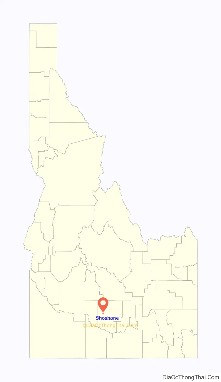
| County: | Lincoln County |
| Founded: | 1882, 141 years ago |
| Elevation: | 3,963 ft (1,208 m) |
| Total Area: | 1.20 sq mi (3.10 km²) |
| Land Area: | 1.17 sq mi (3.04 km²) |
| Water Area: | 0.02 sq mi (0.06 km²) |
| Total Population: | 1,461 |
| Population Density: | 1,280.48/sq mi (494.23/km²) |
| ZIP code: | 83324, 83352 |
| Area code: | 208, 986 |
| FIPS code: | 1673900 |
| GNISfeature ID: | 0400083 |
| Website: | www.shoshonecity.com |
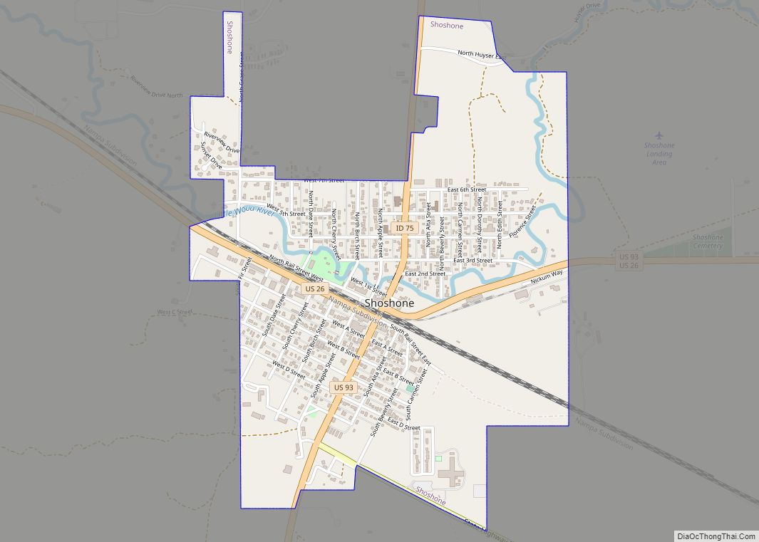
Online Interactive Map
Click on ![]() to view map in "full screen" mode.
to view map in "full screen" mode.
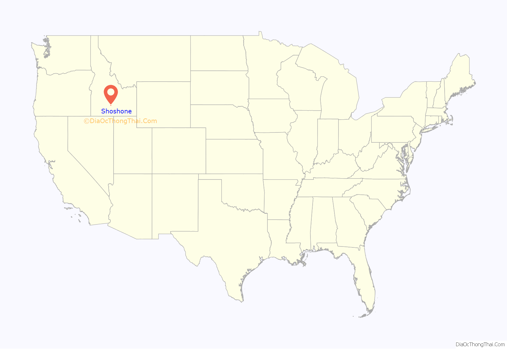
Shoshone location map. Where is Shoshone city?
History
Founded in 1882 during the construction of the Oregon Short Line, Shoshone has long been considered the main railroad station in south central Idaho’s Magic Valley region. The much larger community of Twin Falls 26 miles (42 km) to the south never developed a strong railroad presence due to the logistical issues presented by its location south of the Snake River Canyon. For many years, Shoshone was the only Amtrak stop in south central Idaho.
The Union Pacific Railroad opened the Sun Valley resort in 1936 (and owned it until 1964), and its pre-existing spur route to Ketchum connected here. The spur first headed northeast, following today’s US 93, to Richfield and Tikura, then peeled northwest to Picabo and on to Bellevue, Hailey, and Ketchum, so the distance was greater than today’s more direct 55-mile (90 km) drive north on Highway 75.
About 15 miles (25 km) north of Shoshone are the Shoshone Ice Caves. The caves are lava tubes that stay cool enough for the ice inside them to remain frozen throughout the summer. In the days before refrigeration, this feature, coupled with the railroad, made Shoshone popular with travelers as “the only place for hundreds of miles where one could get a cold beer.”
Shoshone Road Map

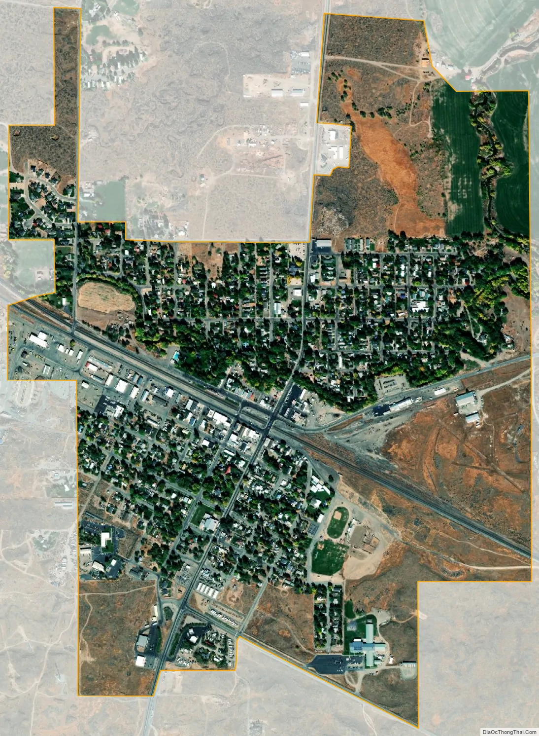
Shoshone city Satellite Map
Geography
Shoshone is located at 42°56′12″N 114°24′28″W / 42.93667°N 114.40778°W / 42.93667; -114.40778 (42.936, -114.406), at an elevation of 3,963 feet (1,208 m) above sea level.
According to the United States Census Bureau, the city has a total area of 1.16 square miles (3.00 km), of which, 1.14 square miles (2.95 km) is land and 0.02 square miles (0.05 km) is water. The Little Wood River runs through the town.
Much of the land around Shoshone is lava rock, which can make excavation for building problematic, and limits the amount of useful farmland.
Climate
These data below are from the Western Regional Climate Center, compiled over the years 1908 to 2016. Under the Köppen climate classification, Shoshone has a cold semi-arid climate (BSk).
See also
Map of Idaho State and its subdivision:- Ada
- Adams
- Bannock
- Bear Lake
- Benewah
- Bingham
- Blaine
- Boise
- Bonner
- Bonneville
- Boundary
- Butte
- Camas
- Canyon
- Caribou
- Cassia
- Clark
- Clearwater
- Custer
- Elmore
- Franklin
- Fremont
- Gem
- Gooding
- Idaho
- Jefferson
- Jerome
- Kootenai
- Latah
- Lemhi
- Lewis
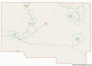
- Lincoln
- Madison
- Minidoka
- Nez Perce
- Oneida
- Owyhee
- Payette
- Power
- Shoshone
- Teton
- Twin Falls
- Valley
- Washington
- Alabama
- Alaska
- Arizona
- Arkansas
- California
- Colorado
- Connecticut
- Delaware
- District of Columbia
- Florida
- Georgia
- Hawaii
- Idaho
- Illinois
- Indiana
- Iowa
- Kansas
- Kentucky
- Louisiana
- Maine
- Maryland
- Massachusetts
- Michigan
- Minnesota
- Mississippi
- Missouri
- Montana
- Nebraska
- Nevada
- New Hampshire
- New Jersey
- New Mexico
- New York
- North Carolina
- North Dakota
- Ohio
- Oklahoma
- Oregon
- Pennsylvania
- Rhode Island
- South Carolina
- South Dakota
- Tennessee
- Texas
- Utah
- Vermont
- Virginia
- Washington
- West Virginia
- Wisconsin
- Wyoming