Weiser (/ˈwiːzər/ WEE-zər) is a city in the rural western part of the U.S. state of Idaho and the county seat of Washington County. With its mild climate, the city supports farm, orchard, and livestock endeavors in the vicinity. The city sits at the confluence of the Weiser River with the great Snake River, which marks the border with Oregon. The population was 5,507 at the 2010 census.
| Name: | Weiser city |
|---|---|
| LSAD Code: | 25 |
| LSAD Description: | city (suffix) |
| State: | Idaho |
| County: | Washington County |
| Elevation: | 2,129 ft (649 m) |
| Total Area: | 2.99 sq mi (7.75 km²) |
| Land Area: | 2.98 sq mi (7.72 km²) |
| Water Area: | 0.01 sq mi (0.03 km²) |
| Total Population: | 5,507 |
| Population Density: | 1,803.42/sq mi (696.22/km²) |
| ZIP code: | 83672 |
| Area code: | 208, 986 |
| FIPS code: | 1686140 |
| GNISfeature ID: | 0398330 |
| Website: | cityofweiser.net |
Online Interactive Map
Click on ![]() to view map in "full screen" mode.
to view map in "full screen" mode.
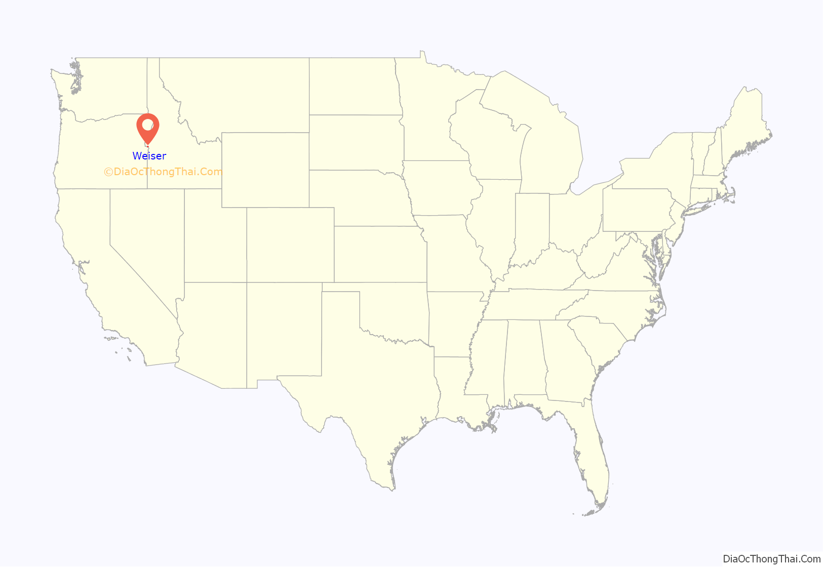
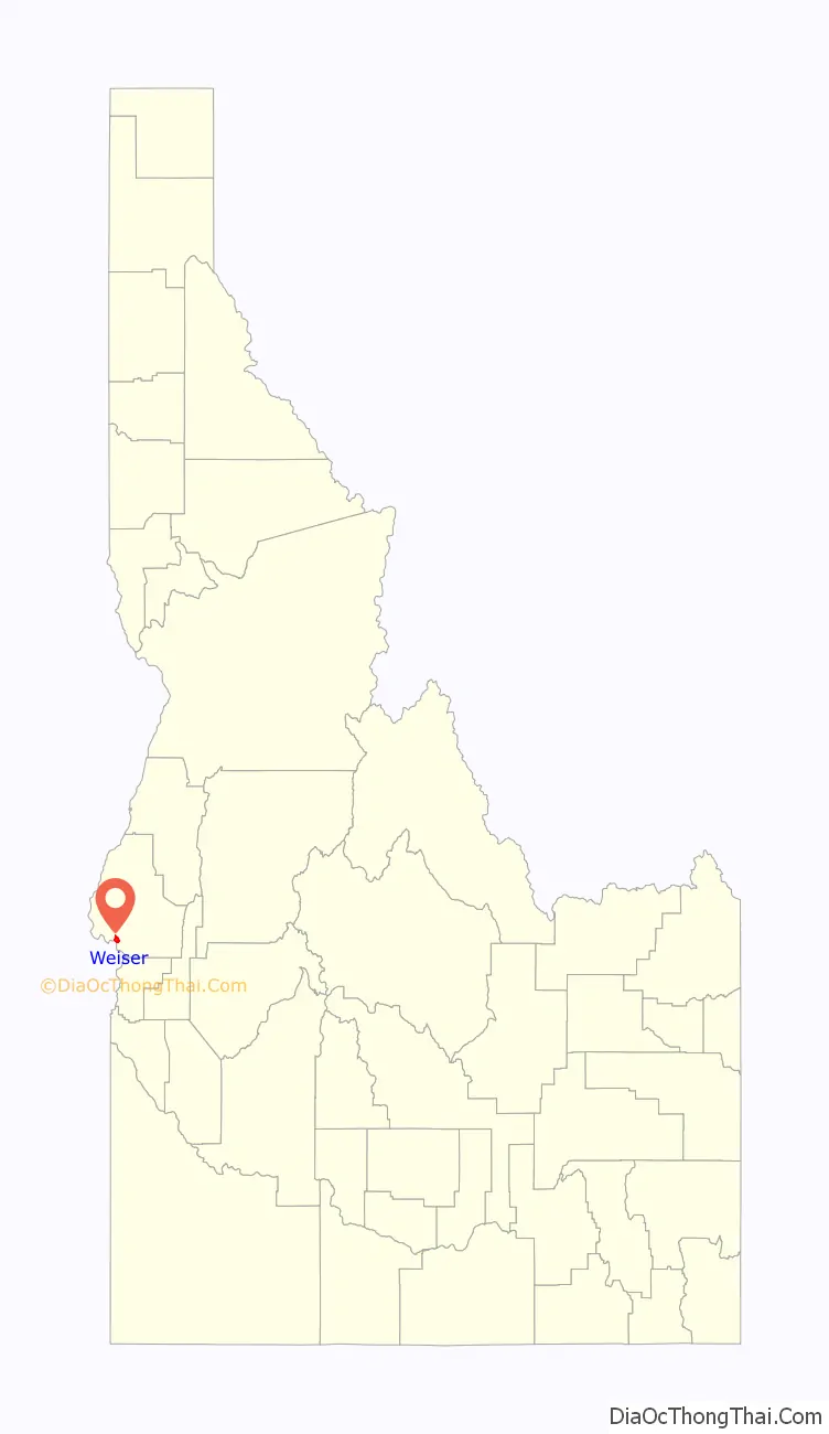
Weiser location map. Where is Weiser city?
History
The city was named after the nearby Weiser River, but exactly who that was named for is not precisely known. In one version it is for Peter M. Weiser, a soldier and member of the Lewis and Clark Expedition of 1804–1806. Another has it for Jacob Weiser, a trapper-turned-miner who struck it rich in Baboon Gulch in the Florence Basin of Idaho in 1861.
William Logan and his wife Nancy were the first white settlers in the vicinity of Weiser in 1863 building a roadhouse in anticipation of the opening of Olds Ferry west of them on the Snake River across from Farewell Bend. In 1863, Reuben Olds acquired a franchise from the Territorial Legislature and began operating Olds Ferry. Olds ferry business did well (as did Logan’s) as it diverted much of the traffic from the old Snake River crossing point at Old Fort Boise. Increasing settlement on the Weiser River valley increased Weiser’s population. A post office was established in 1866 as Weiser Ranch. In 1871, it was renamed Weiser.
Weiser reached its height of prosperity when a railroad way station was established and it became a transportation hub for travelers. Its history is well represented by the great number of original buildings from the 1890s and early 1900s that are on the National Register of Historic Places.
During the 1890s, the city had pretensions of becoming a major regional market and transportation center. The Idaho Northern Railroad was built up the Weiser River with the intention of reaching Lewiston and river transportation to the ocean. The dream ended among the lumber mills of central Idaho almost at the community of Meadows… not needing to actually go past the stock loading and lumber ponds outside the village, the terminus station was built there and a new city, New Meadows, came into being. Likewise the Union Pacific, after taking over the Oregon Short Line chose not to locate its major section yards in the flats west of Weiser—probably due to inflated prices asked by land speculators—and built at Huntington, Oregon at the western edge of the Snake River valley.
Hall of Fame pitcher Walter Johnson played semi-pro baseball for the Weiser Kids as a young man in 1906–1907. After high school in Fullerton, California, the “Big Train” was lured to Weiser to play baseball and work for the local telephone company. While in Weiser, he once pitched 84 consecutive scoreless innings. His skills drew the attention of the Washington Nationals, who sent scout Cliff Blankenship to offer Johnson a contract, and in July 1907 he departed Idaho for the major leagues at age nineteen.
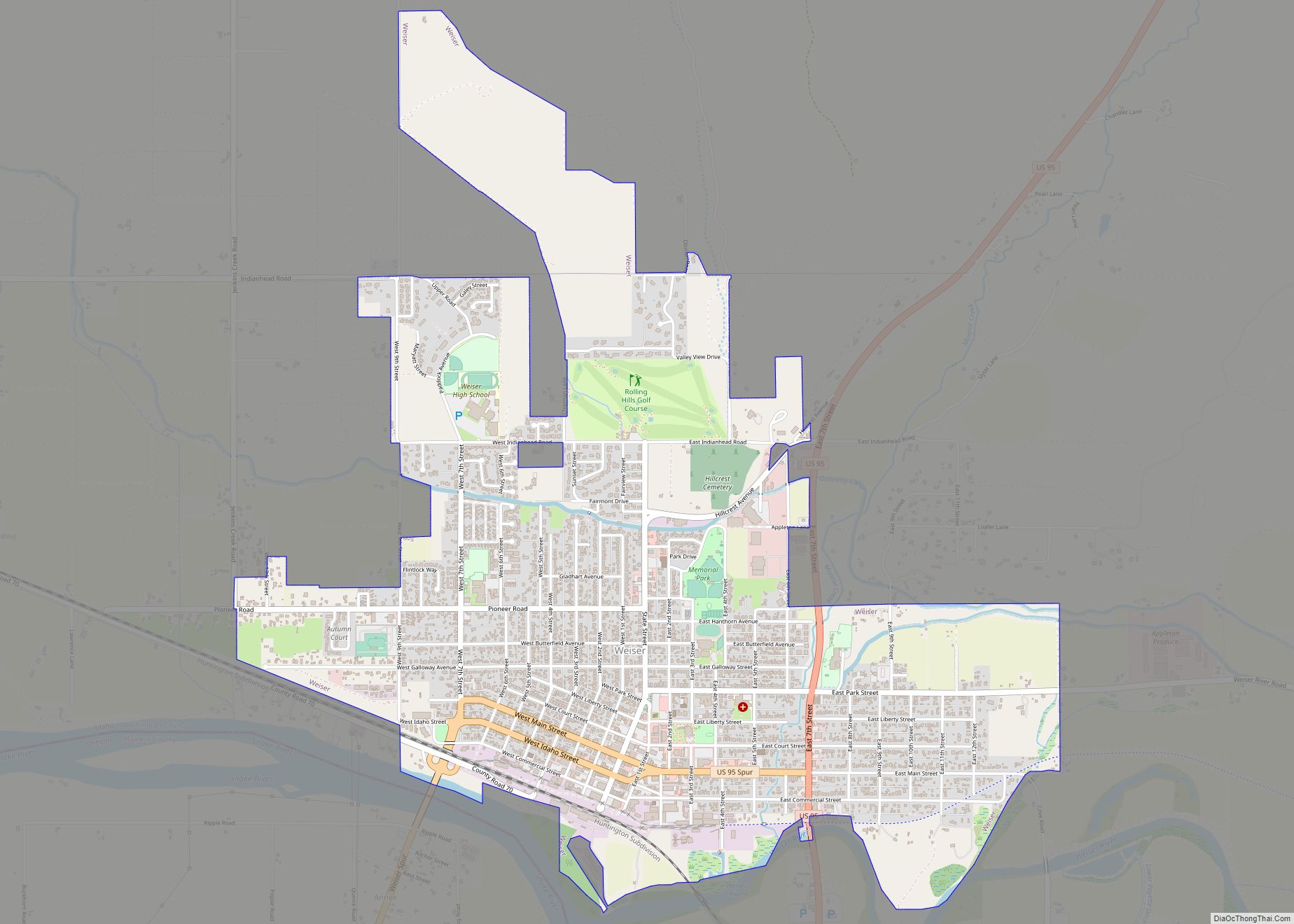
U.S. Route 95 runs through the city, connecting to Oregon and British Columbia.
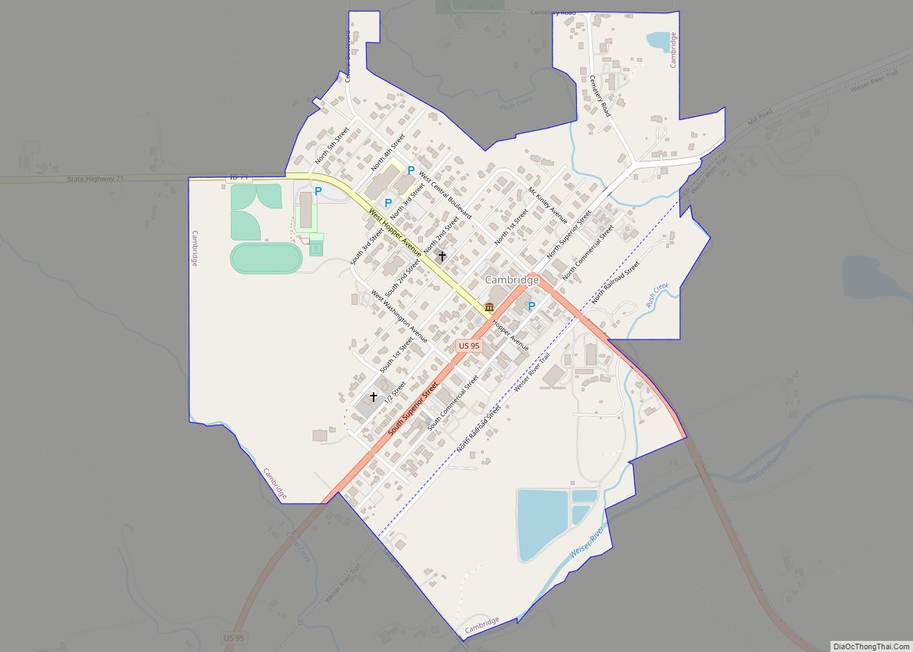
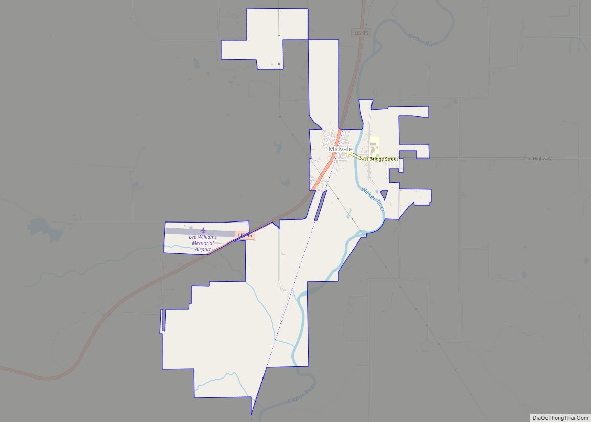
Weiser Road Map
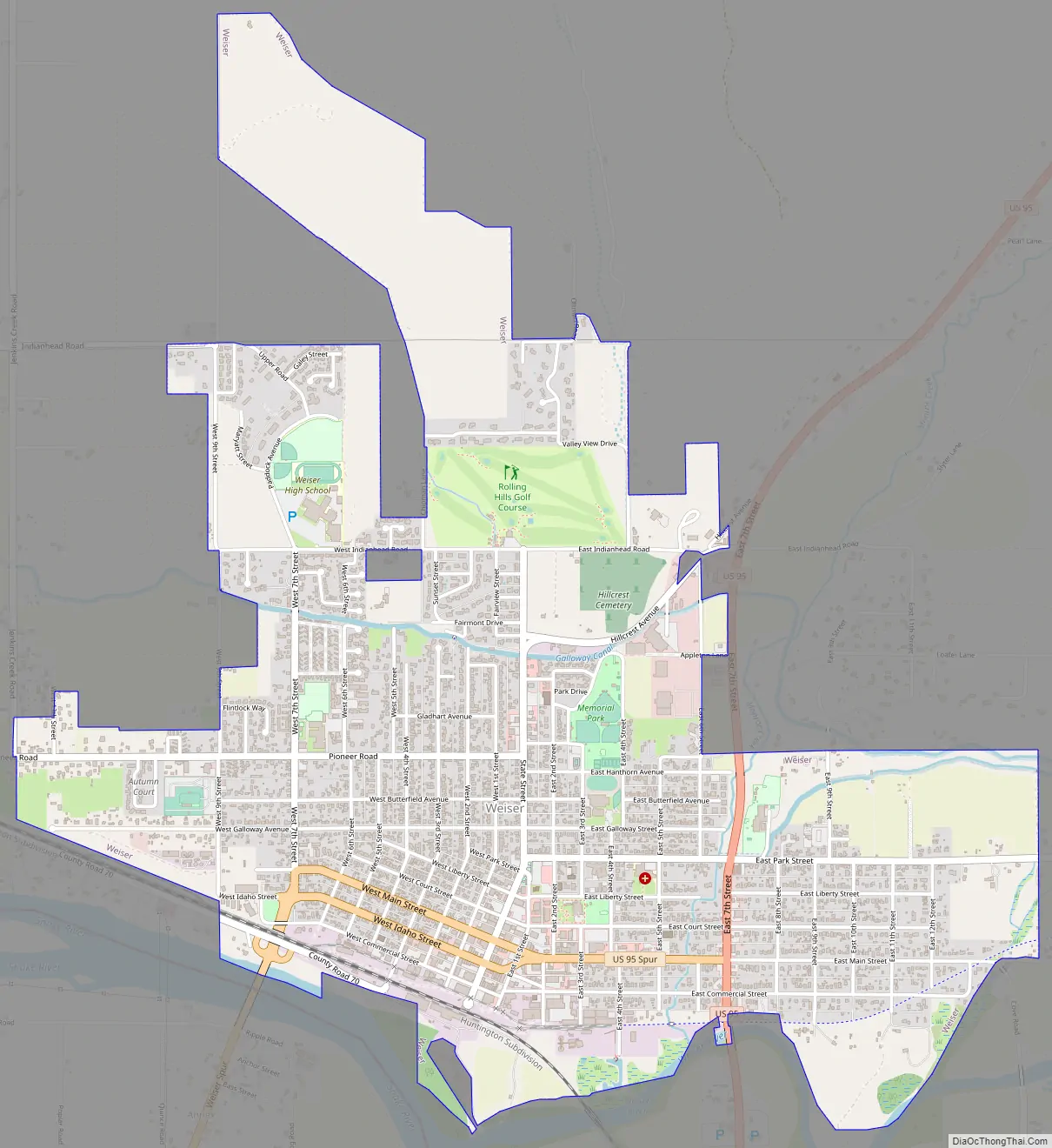
Weiser city Satellite Map

Geography
Weiser is located at 44°14′59″N 116°58′4″W / 44.24972°N 116.96778°W / 44.24972; -116.96778 (44.249712, -116.967799), at an elevation of 2,129 feet (649 m) above sea level.
According to the United States Census Bureau, the city has a total area of 3.38 square miles (8.75 km), all of it land.
Unincorporated Annex, Oregon, sits across the Snake River.
See also
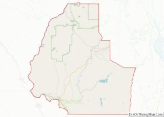
Map of Idaho State and its subdivision:- Ada
- Adams
- Bannock
- Bear Lake
- Benewah
- Bingham
- Blaine
- Boise
- Bonner
- Bonneville
- Boundary
- Butte
- Camas
- Canyon
- Caribou
- Cassia
- Clark
- Clearwater
- Custer
- Elmore
- Franklin
- Fremont
- Gem
- Gooding
- Idaho
- Jefferson
- Jerome
- Kootenai
- Latah
- Lemhi
- Lewis
- Lincoln
- Madison
- Minidoka
- Nez Perce
- Oneida
- Owyhee
- Payette
- Power
- Shoshone
- Teton
- Twin Falls
- Valley
- Washington
- Alabama
- Alaska
- Arizona
- Arkansas
- California
- Colorado
- Connecticut
- Delaware
- District of Columbia
- Florida
- Georgia
- Hawaii
- Idaho
- Illinois
- Indiana
- Iowa
- Kansas
- Kentucky
- Louisiana
- Maine
- Maryland
- Massachusetts
- Michigan
- Minnesota
- Mississippi
- Missouri
- Montana
- Nebraska
- Nevada
- New Hampshire
- New Jersey
- New Mexico
- New York
- North Carolina
- North Dakota
- Ohio
- Oklahoma
- Oregon
- Pennsylvania
- Rhode Island
- South Carolina
- South Dakota
- Tennessee
- Texas
- Utah
- Vermont
- Virginia
- Washington
- West Virginia
- Wisconsin
- Wyoming