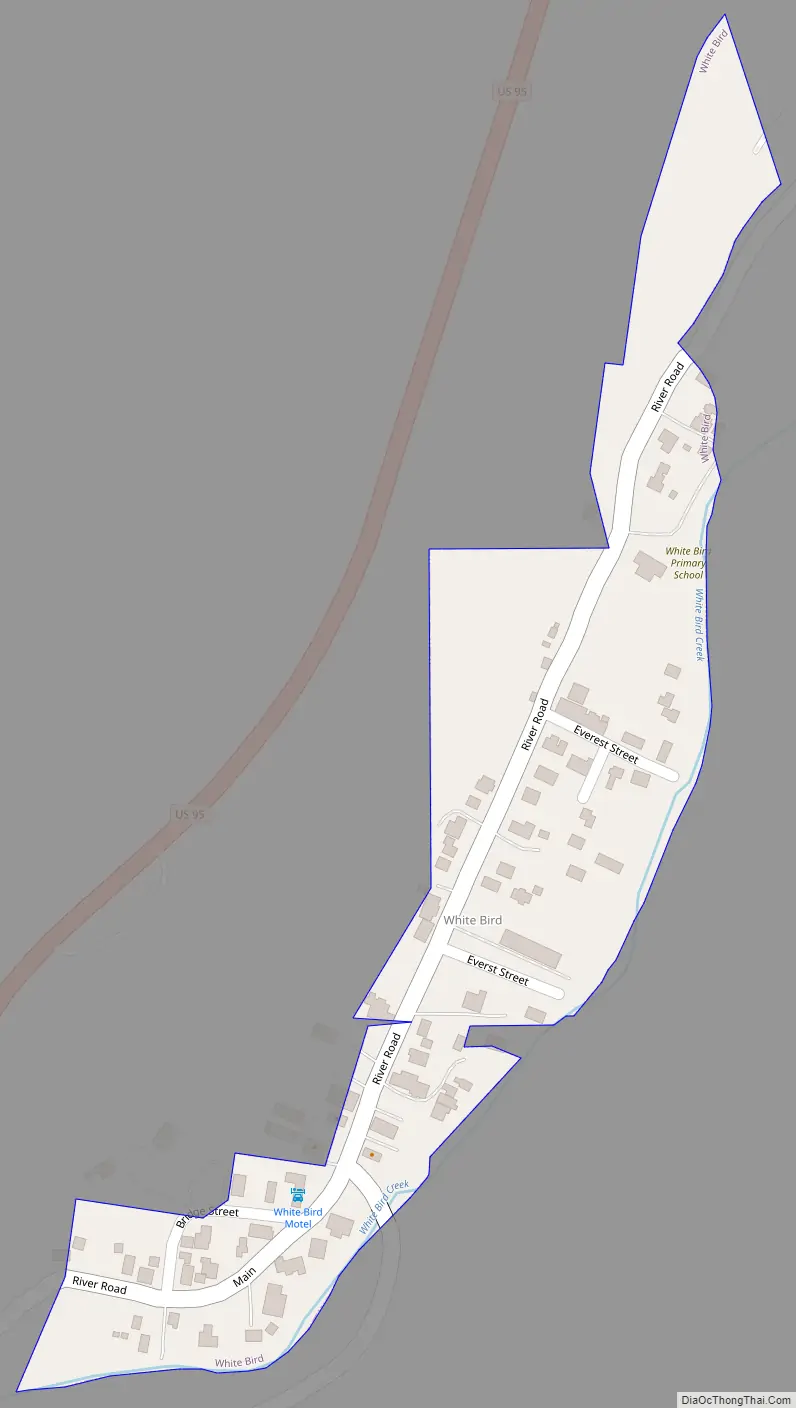
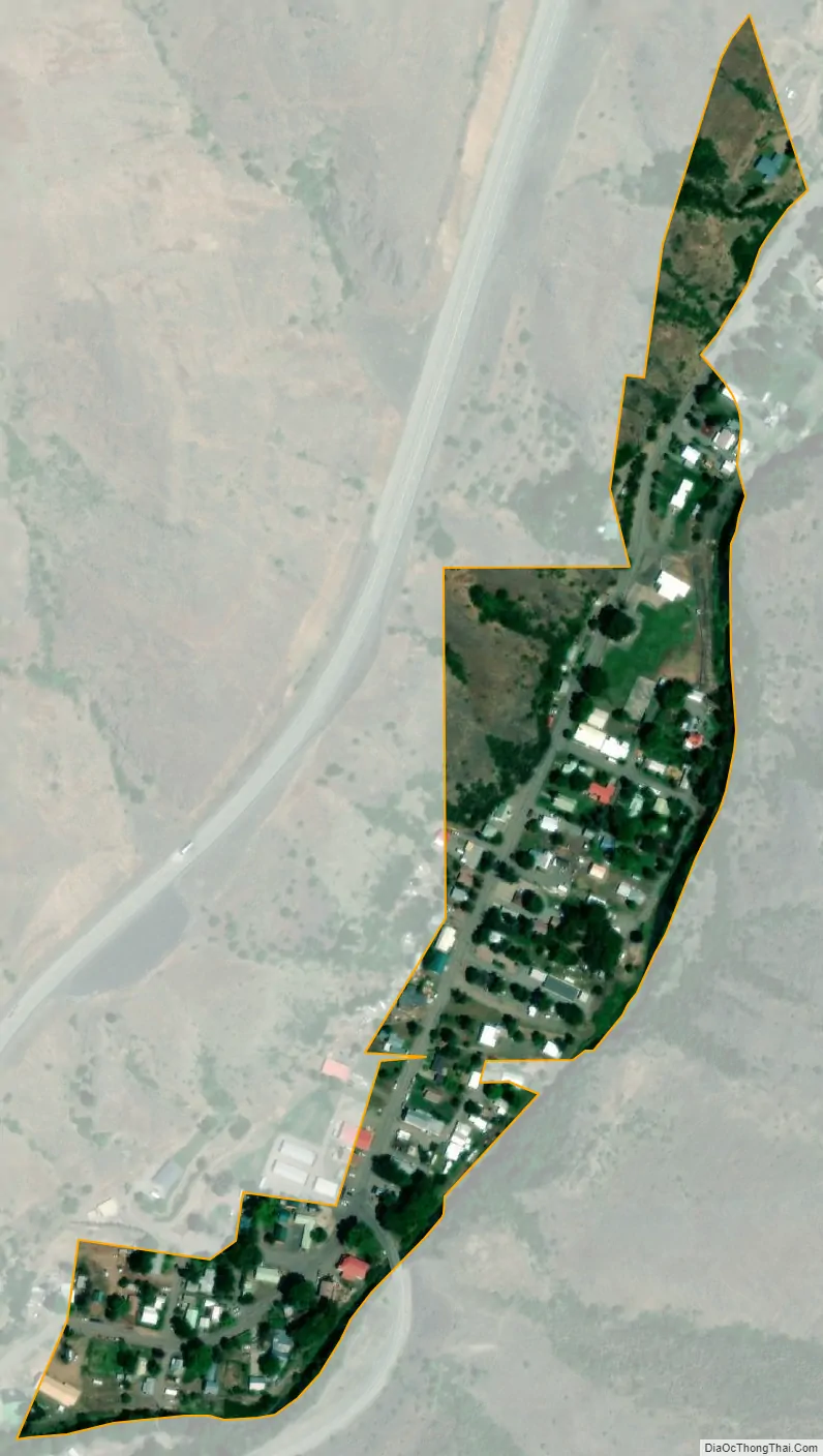
White Bird is a city in Idaho County, Idaho. The population was 91 at the time of the 2010 census, down from 106 in 2000.
| Name: | White Bird city |
|---|---|
| LSAD Code: | 25 |
| LSAD Description: | city (suffix) |
| State: | Idaho |
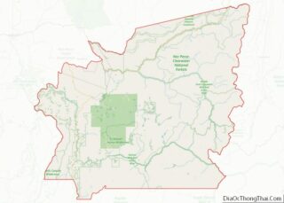
| County: | Idaho County |
| Elevation: | 1,581 ft (482 m) |
| Total Area: | 0.07 sq mi (0.17 km²) |
| Land Area: | 0.07 sq mi (0.17 km²) |
| Water Area: | 0.00 sq mi (0.00 km²) |
| Total Population: | 91 |
| Population Density: | 1,461.54/sq mi (566.62/km²) |
| ZIP code: | 83554 |
| Area code: | 208 |
| FIPS code: | 1687310 |
| GNISfeature ID: | 0398345 |
| Website: | www.visitwhitebird.com |
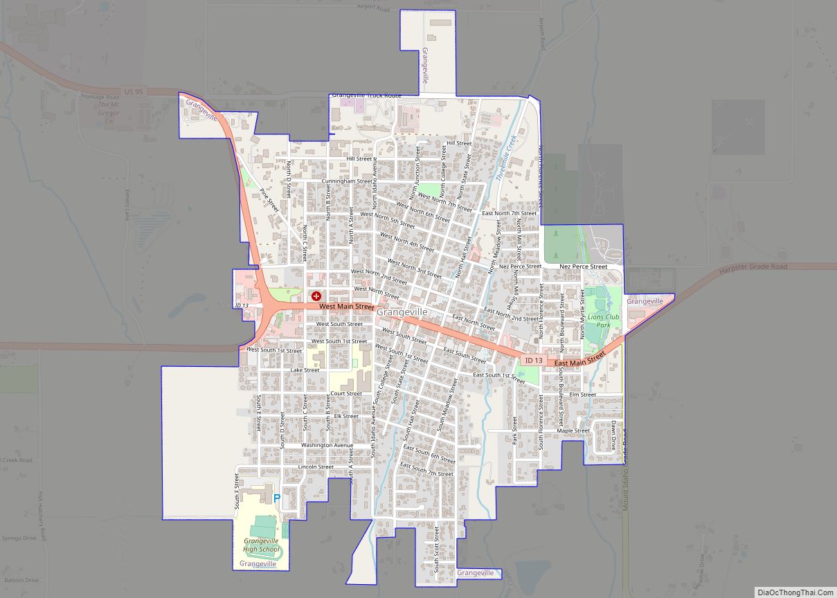
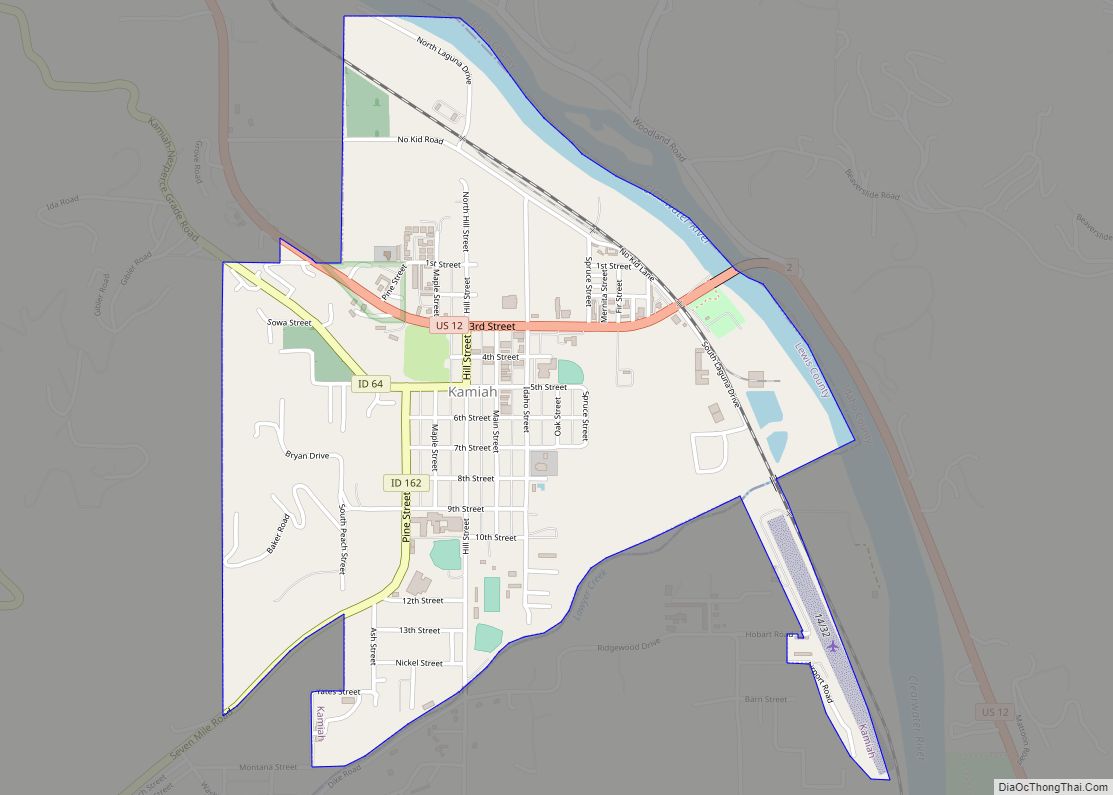
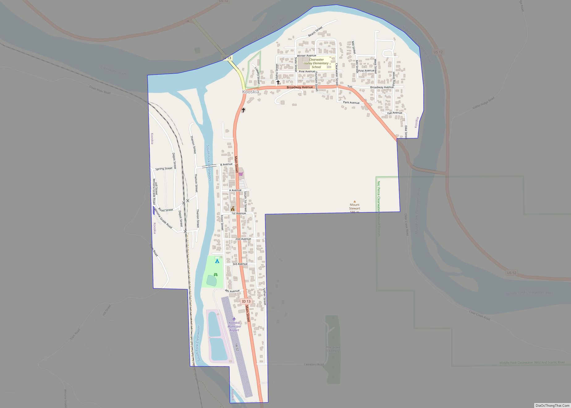
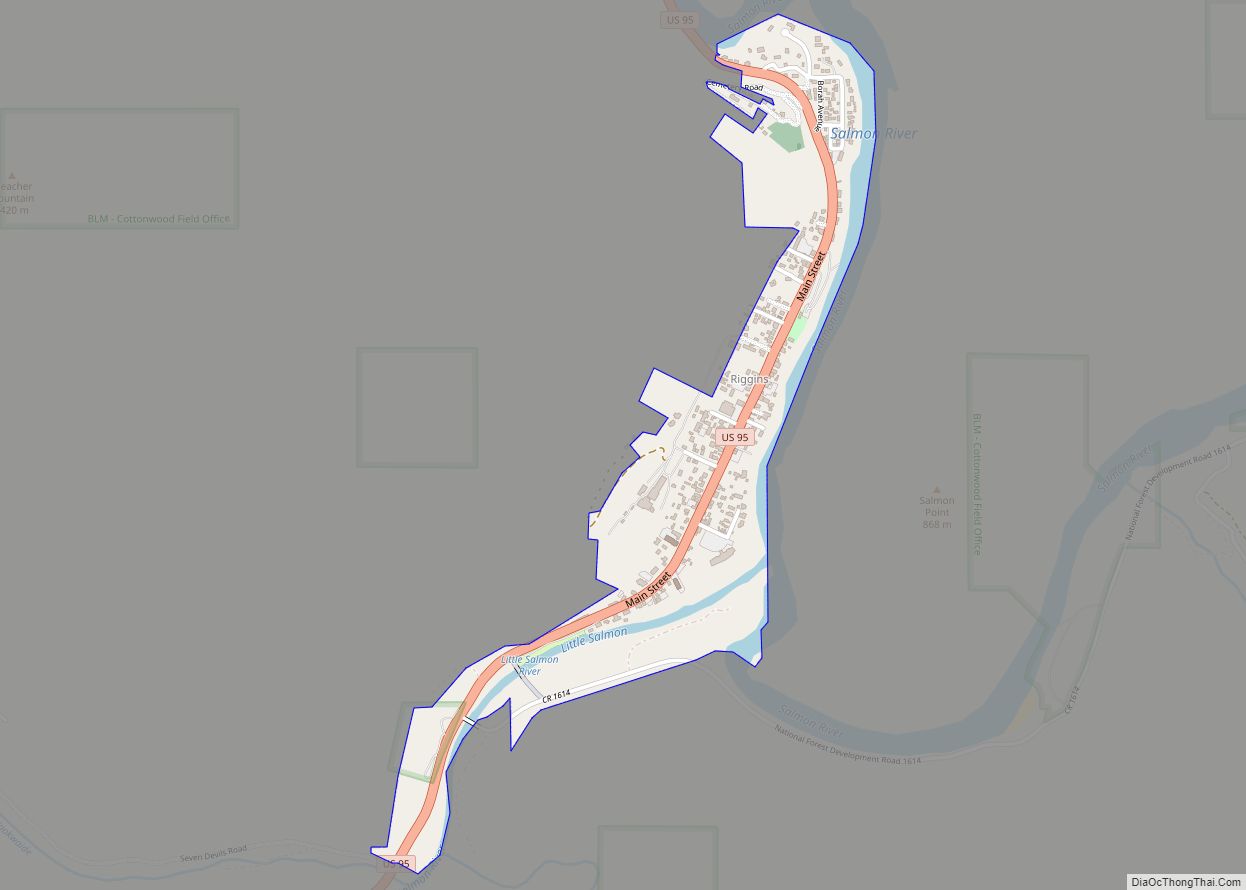
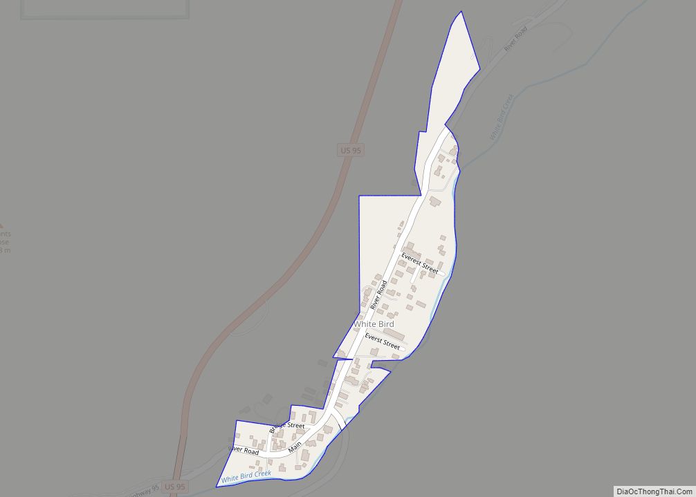
Online Interactive Map
Click on ![]() to view map in "full screen" mode.
to view map in "full screen" mode.
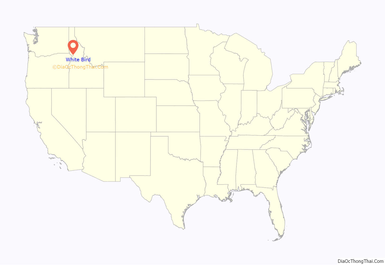
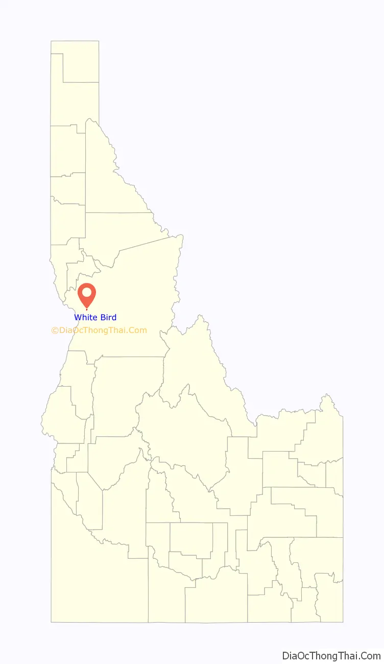
White Bird location map. Where is White Bird city?
History
At the southwest corner of the Camas Prairie, White Bird is near the Salmon River crossing point for the Lewis and Clark expedition. It is also the location of the Battle of White Bird Canyon in 1877, which was the first fight of the Nez Perce War and a significant defeat of the U.S. Army.
The summit of White Bird Hill is 2,700 feet (820 m) above the city, ascended via U.S. Highway 95. The steeper, straighter, and faster multi-lane grade of U.S. 95 was opened 48 years ago in 1975, after ten challenging years of construction. The two-lane road of 1921 to the east was first paved in 1938; it left the Salmon River at White Bird Creek, followed it up through White Bird, and then gradually climbed the grade in twice the distance, with multiple switchback curves to a higher summit, without a cut.
White Bird was established 132 years ago in 1891 and was named for Chief White Bird, a Nez Perce leader.
White Bird Road Map
White Bird city Satellite Map
Geography
White Bird is located at 45°45′40″N 116°18′6″W / 45.76111°N 116.30167°W / 45.76111; -116.30167 (45.761023, -116.301768).
According to the United States Census Bureau, the city has a total area of 0.07 square miles (0.18 km), all of it land.
See also
Map of Idaho State and its subdivision:- Ada
- Adams
- Bannock
- Bear Lake
- Benewah
- Bingham
- Blaine
- Boise
- Bonner
- Bonneville
- Boundary
- Butte
- Camas
- Canyon
- Caribou
- Cassia
- Clark
- Clearwater
- Custer
- Elmore
- Franklin
- Fremont
- Gem
- Gooding
- Idaho
- Jefferson
- Jerome
- Kootenai
- Latah
- Lemhi
- Lewis
- Lincoln
- Madison
- Minidoka
- Nez Perce
- Oneida
- Owyhee
- Payette
- Power
- Shoshone
- Teton
- Twin Falls
- Valley
- Washington
- Alabama
- Alaska
- Arizona
- Arkansas
- California
- Colorado
- Connecticut
- Delaware
- District of Columbia
- Florida
- Georgia
- Hawaii
- Idaho
- Illinois
- Indiana
- Iowa
- Kansas
- Kentucky
- Louisiana
- Maine
- Maryland
- Massachusetts
- Michigan
- Minnesota
- Mississippi
- Missouri
- Montana
- Nebraska
- Nevada
- New Hampshire
- New Jersey
- New Mexico
- New York
- North Carolina
- North Dakota
- Ohio
- Oklahoma
- Oregon
- Pennsylvania
- Rhode Island
- South Carolina
- South Dakota
- Tennessee
- Texas
- Utah
- Vermont
- Virginia
- Washington
- West Virginia
- Wisconsin
- Wyoming