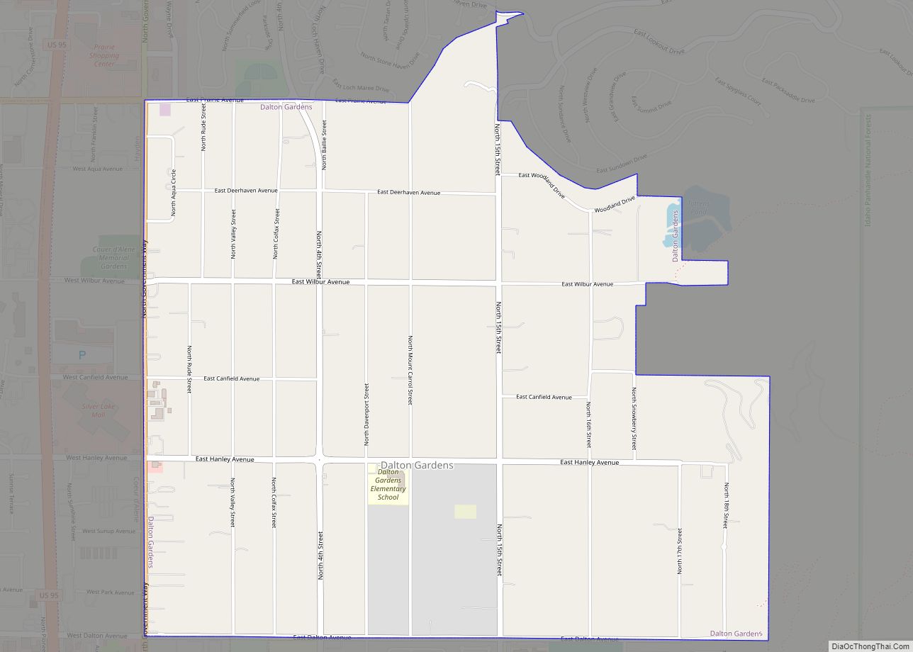
Dalton Gardens is a city in Kootenai County, Idaho, United States. It is considered a suburb of Coeur d’Alene and borders the city to the north and east. The city of Dalton Gardens is also part of the larger Spokane-Coeur d’Alene Combined Metropolitan Statistical Area which encompasses Kootenai County, Idaho. The population of Dalton Gardens ... Read more
Idaho Cities and Places
Dietrich is a city in Lincoln County, Idaho, United States. The population was 284 at the 2020 census. Dietrich city overview: Name: Dietrich city LSAD Code: 25 LSAD Description: city (suffix) State: Idaho County: Lincoln County Elevation: 1,246 ft (380 m) Total Area: 0.32 sq mi (0.84 km²) Land Area: 0.32 sq mi (0.84 km²) Water Area: 0.00 sq mi (0.00 km²) Total Population: 284 Population ... Read more
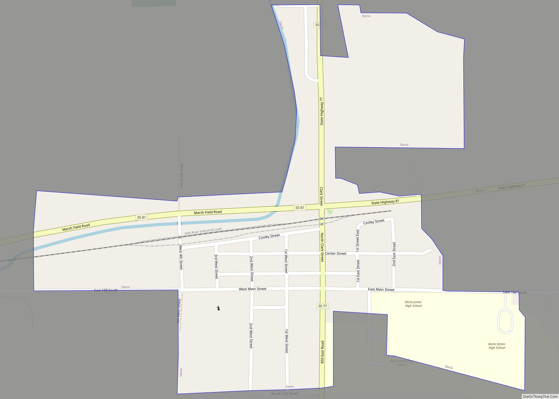
Declo is a city in Cassia County, Idaho, United States. It is part of the Burley, Idaho micropolitan area. The population was 338 at the time of the 2020 Census, down from 343 in 2010. Declo city overview: Name: Declo city LSAD Code: 25 LSAD Description: city (suffix) State: Idaho County: Cassia County Elevation: 4,219 ft ... Read more
Deary is a city in Latah County, Idaho. The population was 506 at the time of the 2010 census, down from 552 in 2000. It is located 24 miles (39 km) east of Moscow and 43 miles (69 km) northeast of Lewiston. Deary city overview: Name: Deary city LSAD Code: 25 LSAD Description: city (suffix) State: Idaho ... Read more
Downey is a city in the Marsh Valley in southern Bannock County, Idaho, United States. It is part of the Pocatello Metropolitan Statistical Area. The population was 625 at the 2010 census. The community was reportedly named after one Mr. Downey, a director of the Union Pacific Railroad. However, researchers have been unable verify existence ... Read more
Dover is a city in Bonner County, Idaho. The population was 556 at the 2010 census. Dover city overview: Name: Dover city LSAD Code: 25 LSAD Description: city (suffix) State: Idaho County: Bonner County Incorporated: July 26, 1988 Elevation: 2,070 ft (630 m) Total Area: 3.21 sq mi (8.31 km²) Land Area: 3.17 sq mi (8.21 km²) Water Area: 0.04 sq mi (0.10 km²) Total Population: ... Read more
Donnelly is a city in rural Valley County, Idaho, United States. The population was 152 at the 2010 census. Donnelly is in the Long Valley of Valley County, on the northeast shore of Lake Cascade (Cascade Reservoir), between the two major cities in the county. McCall is 13 miles (21 km) north, and Cascade is 16 ... Read more
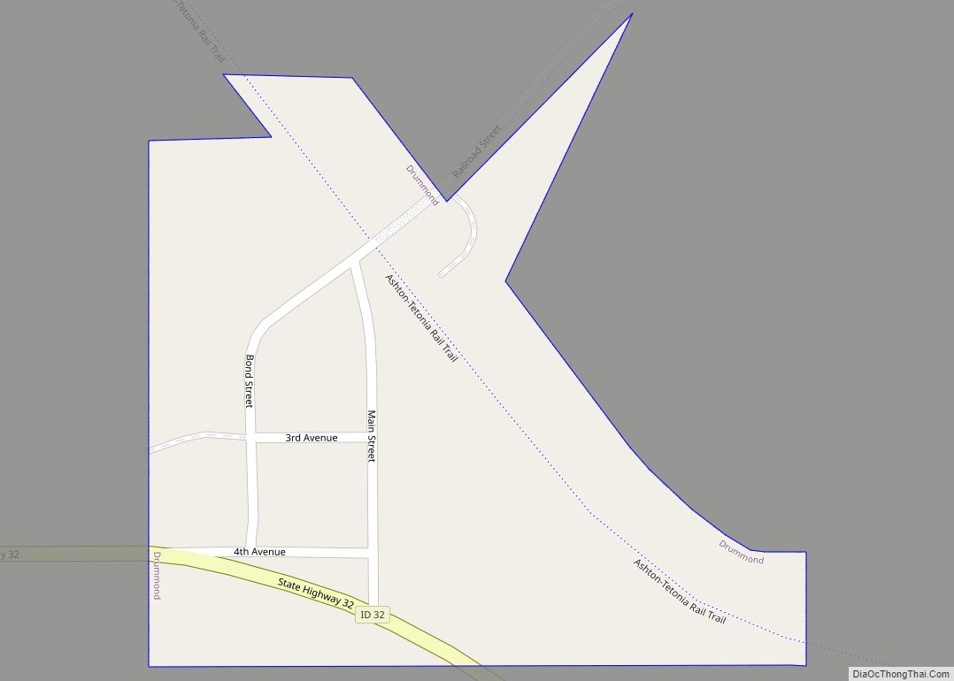
Drummond is a city in Fremont County, Idaho, United States. The population was 16 at the 2010 census. It is part of the Rexburg, Idaho Micropolitan Statistical Area. Drummond city overview: Name: Drummond city LSAD Code: 25 LSAD Description: city (suffix) State: Idaho County: Fremont County Elevation: 5,610 ft (1,710 m) Total Area: 0.10 sq mi (0.25 km²) Land Area: ... Read more
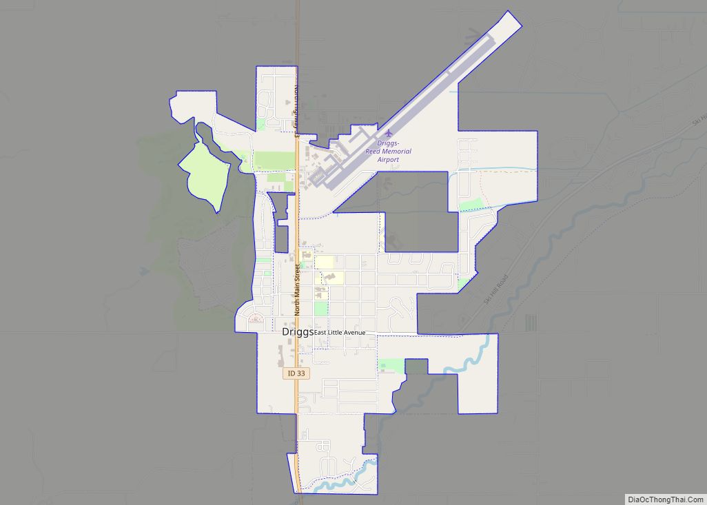
Driggs is a city in the western United States in eastern Idaho, and is the county seat of Teton County. Part of the Jackson, WY-ID Micropolitan Statistical Area, it is located in Teton Valley, the headwaters of the Teton River. The population was 1,660 at the 2010 census, up from 1,100 in 2000. Located within ... Read more
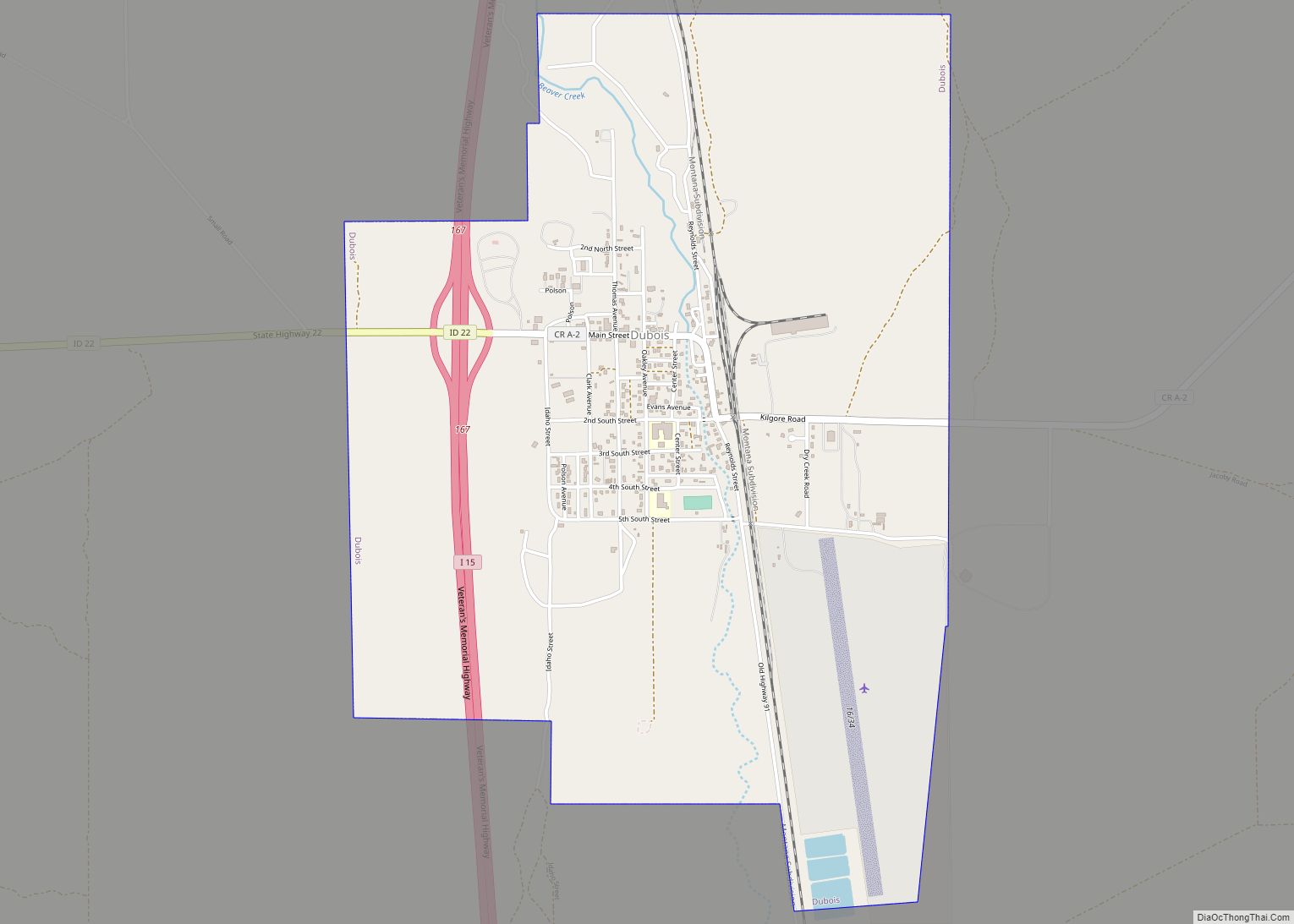
Dubois (/duːˌbɔɪs/, du-BOISS) is a city in Clark County, Idaho, United States. The population was 511 at the 2020 census. The city is the county seat of Clark County. The city was named in 1892 for Fred Dubois (1851−1930), a prominent politician in Idaho’s early years. He came to Idaho in 1880, later becoming the ... Read more
Eden is a city in Jerome County, Idaho, United States. The population was 405 at the 2010 census. It is part of the Twin Falls, Idaho Metropolitan Statistical Area. Eden city overview: Name: Eden city LSAD Code: 25 LSAD Description: city (suffix) State: Idaho County: Jerome County Elevation: 3,963 ft (1,208 m) Total Area: 0.31 sq mi (0.81 km²) Land ... Read more
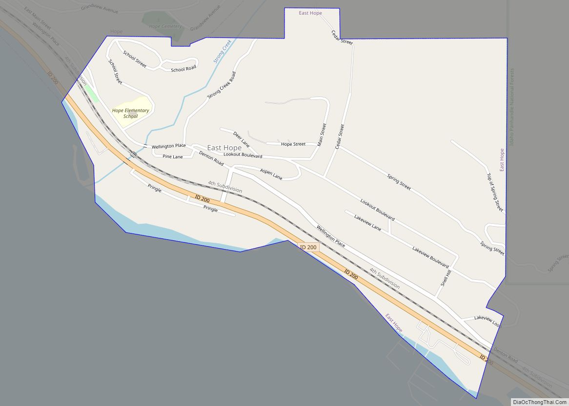
East Hope is a city in Bonner County, Idaho, United States. The population was 210 at the 2010 census. East Hope city overview: Name: East Hope city LSAD Code: 25 LSAD Description: city (suffix) State: Idaho County: Bonner County Elevation: 2,175 ft (663 m) Total Area: 0.43 sq mi (1.10 km²) Land Area: 0.42 sq mi (1.08 km²) Water Area: 0.01 sq mi (0.03 km²) Total ... Read more
