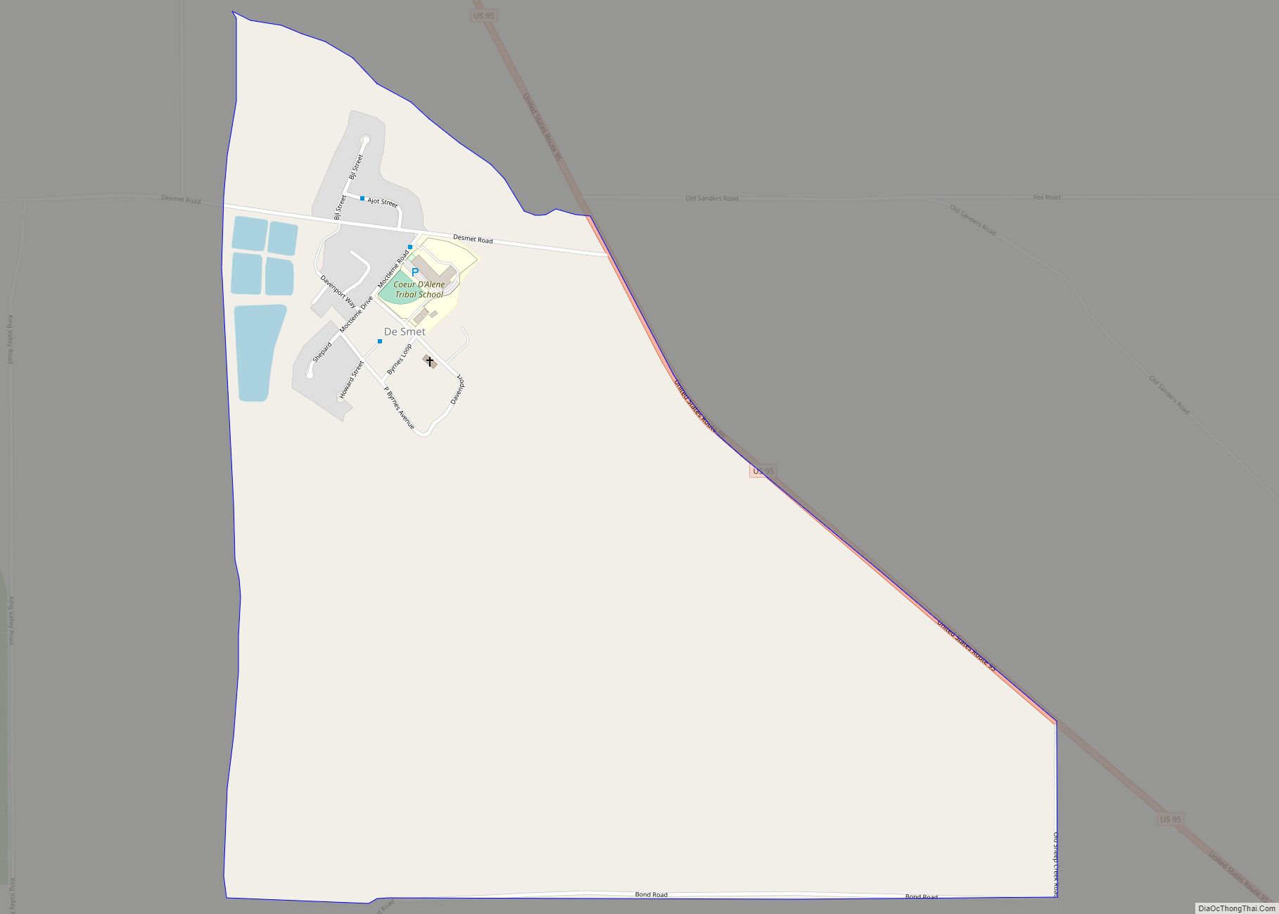
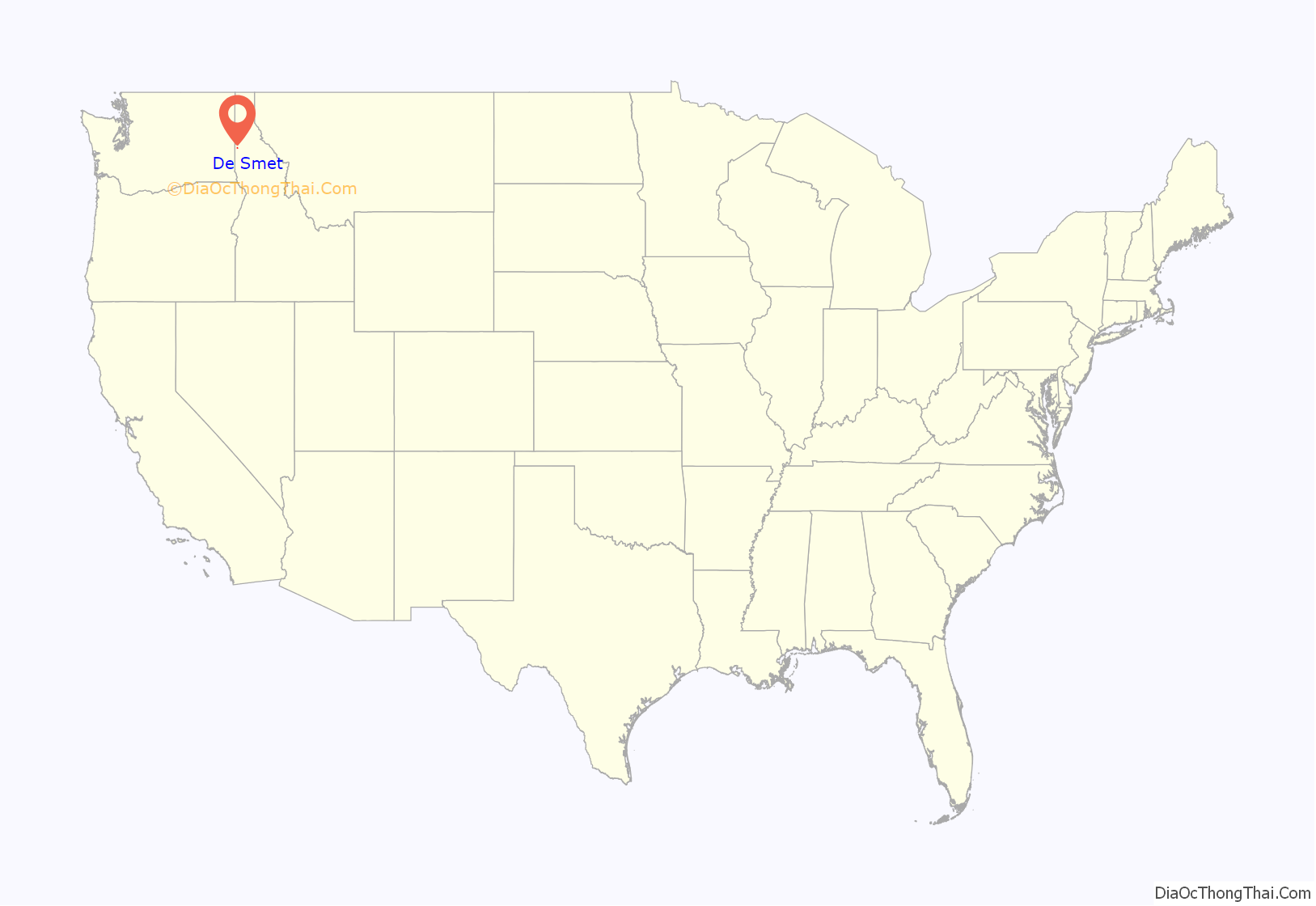
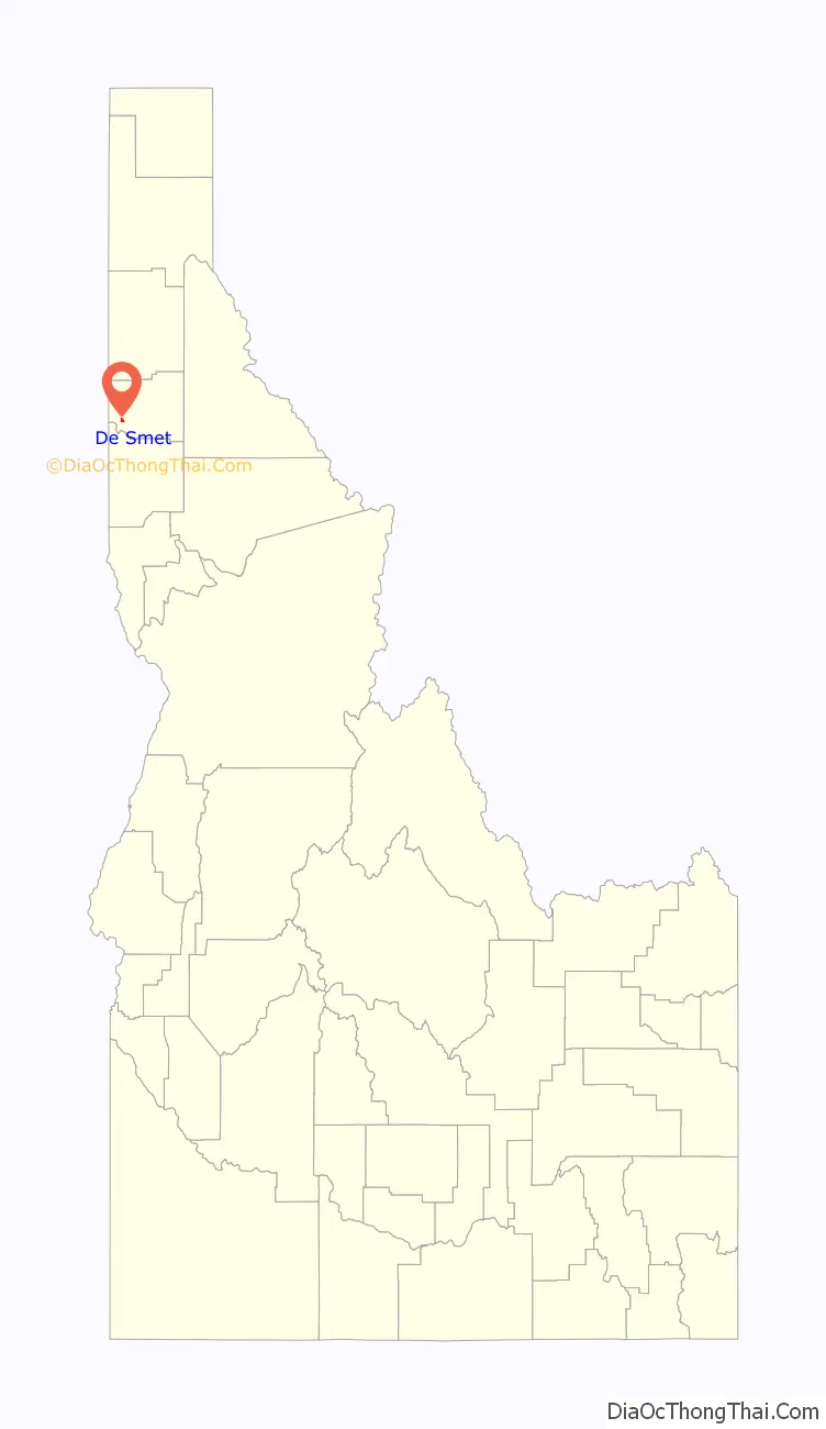
De Smet (also spelled Desmet) is an unincorporated census-designated place in the northwestern United States, located on the Coeur d’Alene Reservation in Benewah County, Idaho.
U.S. Route 95 passes nearby and the community is located about a mile (1.6 km) south of Tensed, which was originally also to be titled Desmet before the name was ordered to be reversed and was subsequently misspelled by the post office. Latah Creek flows between the two communities. De Smet has a post office with a ZIP code of 83824. As of the 2010 census, its population was 145, and its elevation is approximately 2,600 feet (790 m) above sea level.
| Name: | De Smet CDP |
|---|---|
| LSAD Code: | 57 |
| LSAD Description: | CDP (suffix) |
| State: | Idaho |
| County: | Benewah County |
| Elevation: | 2,598 ft (792 m) |
| Total Area: | 0.957 sq mi (2.48 km²) |
| Land Area: | 0.957 sq mi (2.48 km²) |
| Water Area: | 0 sq mi (0 km²) |
| Total Population: | 145 |
| Population Density: | 145.0/sq mi (55.98/km²) |
| ZIP code: | 83824 |
| Area code: | 208, 986 |
| FIPS code: | 1621520 |
| GNISfeature ID: | 397609 |
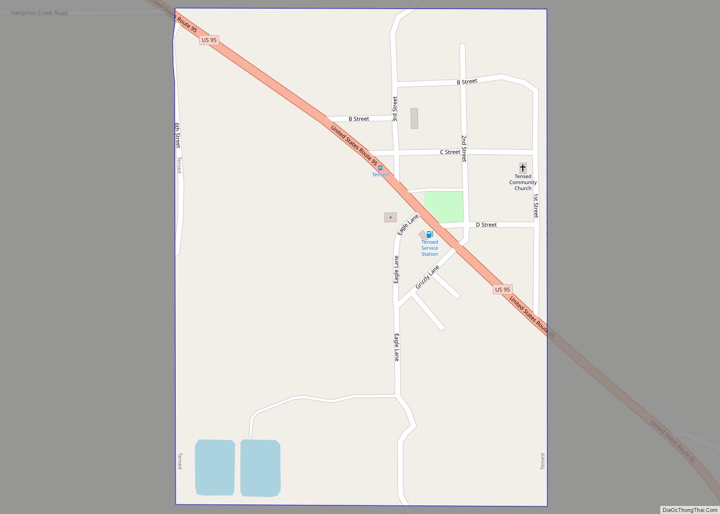
Online Interactive Map
Click on ![]() to view map in "full screen" mode.
to view map in "full screen" mode.
De Smet location map. Where is De Smet CDP?
History
De Smet was named for the Belgian Catholic priest Pierre De Smet, a 19th-century Jesuit missionary. He worked with the Coeur d’Alène and other native peoples of western North America for most of his life, periodically returning to his chapter based in St. Louis, Missouri.
De Smet’s population was estimated at 200 in 1909, and was 100 in 1960.
De Smet Road Map
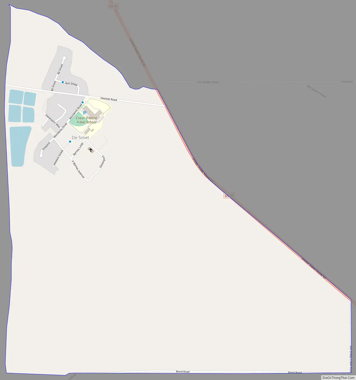
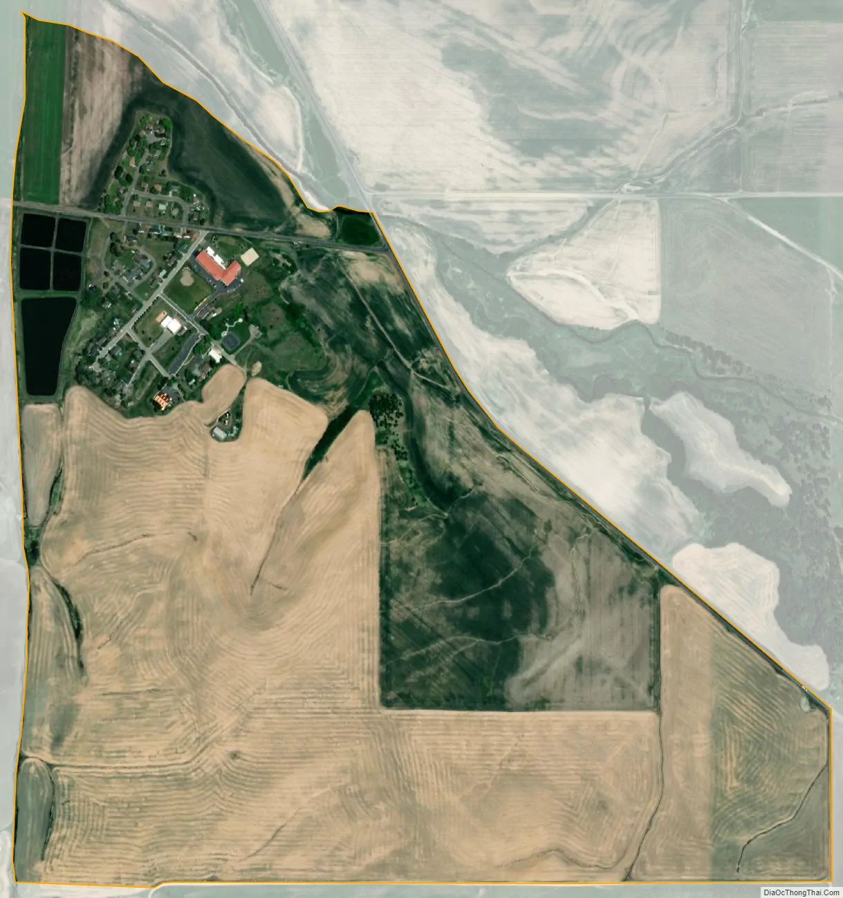
De Smet city Satellite Map
See also
Map of Idaho State and its subdivision:- Ada
- Adams
- Bannock
- Bear Lake
- Benewah
- Bingham
- Blaine
- Boise
- Bonner
- Bonneville
- Boundary
- Butte
- Camas
- Canyon
- Caribou
- Cassia
- Clark
- Clearwater
- Custer
- Elmore
- Franklin
- Fremont
- Gem
- Gooding
- Idaho
- Jefferson
- Jerome
- Kootenai
- Latah
- Lemhi
- Lewis
- Lincoln
- Madison
- Minidoka
- Nez Perce
- Oneida
- Owyhee
- Payette
- Power
- Shoshone
- Teton
- Twin Falls
- Valley
- Washington
- Alabama
- Alaska
- Arizona
- Arkansas
- California
- Colorado
- Connecticut
- Delaware
- District of Columbia
- Florida
- Georgia
- Hawaii
- Idaho
- Illinois
- Indiana
- Iowa
- Kansas
- Kentucky
- Louisiana
- Maine
- Maryland
- Massachusetts
- Michigan
- Minnesota
- Mississippi
- Missouri
- Montana
- Nebraska
- Nevada
- New Hampshire
- New Jersey
- New Mexico
- New York
- North Carolina
- North Dakota
- Ohio
- Oklahoma
- Oregon
- Pennsylvania
- Rhode Island
- South Carolina
- South Dakota
- Tennessee
- Texas
- Utah
- Vermont
- Virginia
- Washington
- West Virginia
- Wisconsin
- Wyoming