Bingham is a village in Fayette County, Illinois, United States. The population was 83 at the 2010 census, down from 117 at the 2000 census. The village was named after Judge Horatio Bingham. A post office was established in 1883. Bingham village overview: Name: Bingham village LSAD Code: 47 LSAD Description: village (suffix) State: Illinois ... Read more
Illinois Cities and Places
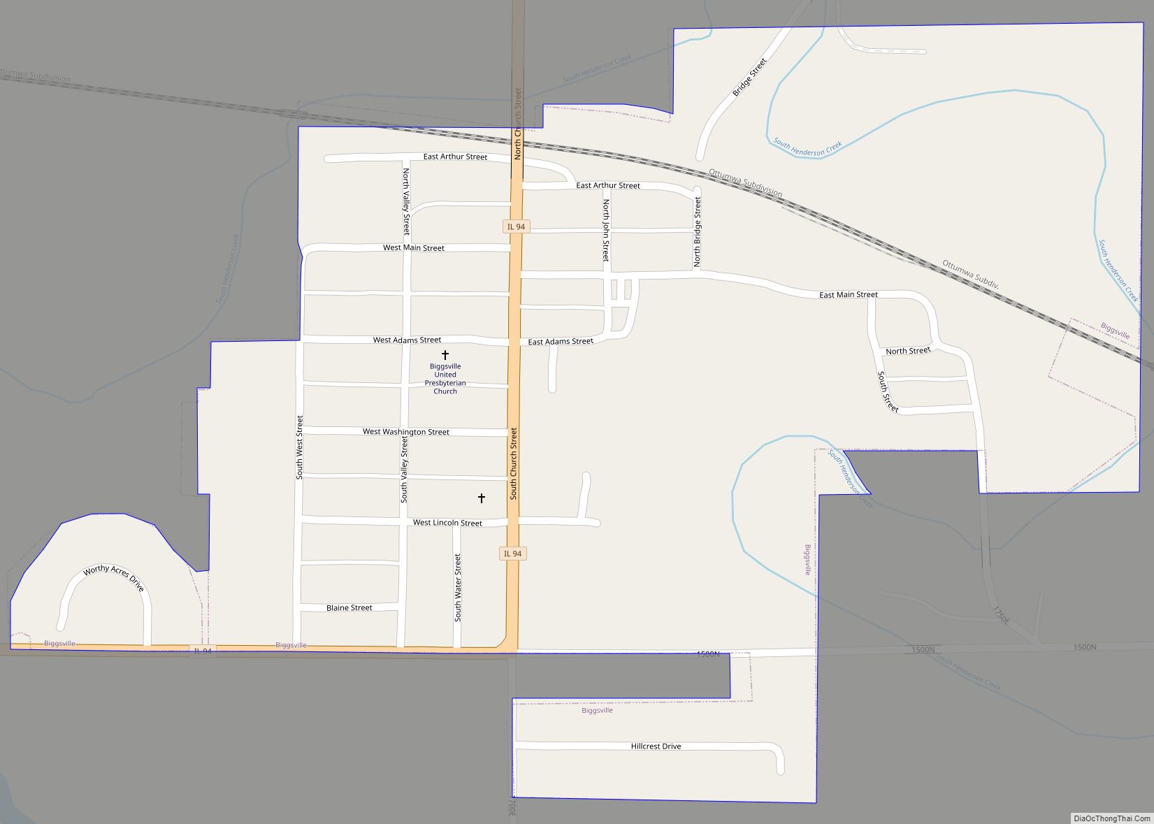
Biggsville is a village in Henderson County, Illinois, United States. The population was 304 at the 2010 census, down from 343 at the 2000 census. It is part of the Burlington, IA–IL Micropolitan Statistical Area. Biggsville village overview: Name: Biggsville village LSAD Code: 47 LSAD Description: village (suffix) State: Illinois County: Henderson County Elevation: 640 ft ... Read more
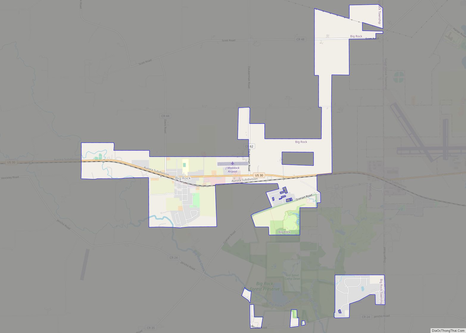
Big Rock is a village in Kane County, Illinois, United States. It is located approximately 50 miles (80 km) due west of Chicago. It is between the villages of Hinckley and Sugar Grove. The village was incorporated on July 26, 2001. As of the 2010 census it had a population of 1,126. Big Rock village overview: ... Read more
Bethany is a village in Moultrie County, Illinois, United States. The population was 1,255 at the 2020 census, down from 1,352 in 2010. Bethany village overview: Name: Bethany village LSAD Code: 47 LSAD Description: village (suffix) State: Illinois County: Moultrie County Elevation: 659 ft (201 m) Total Area: 0.98 sq mi (2.54 km²) Land Area: 0.98 sq mi (2.53 km²) Water Area: 0.00 sq mi ... Read more
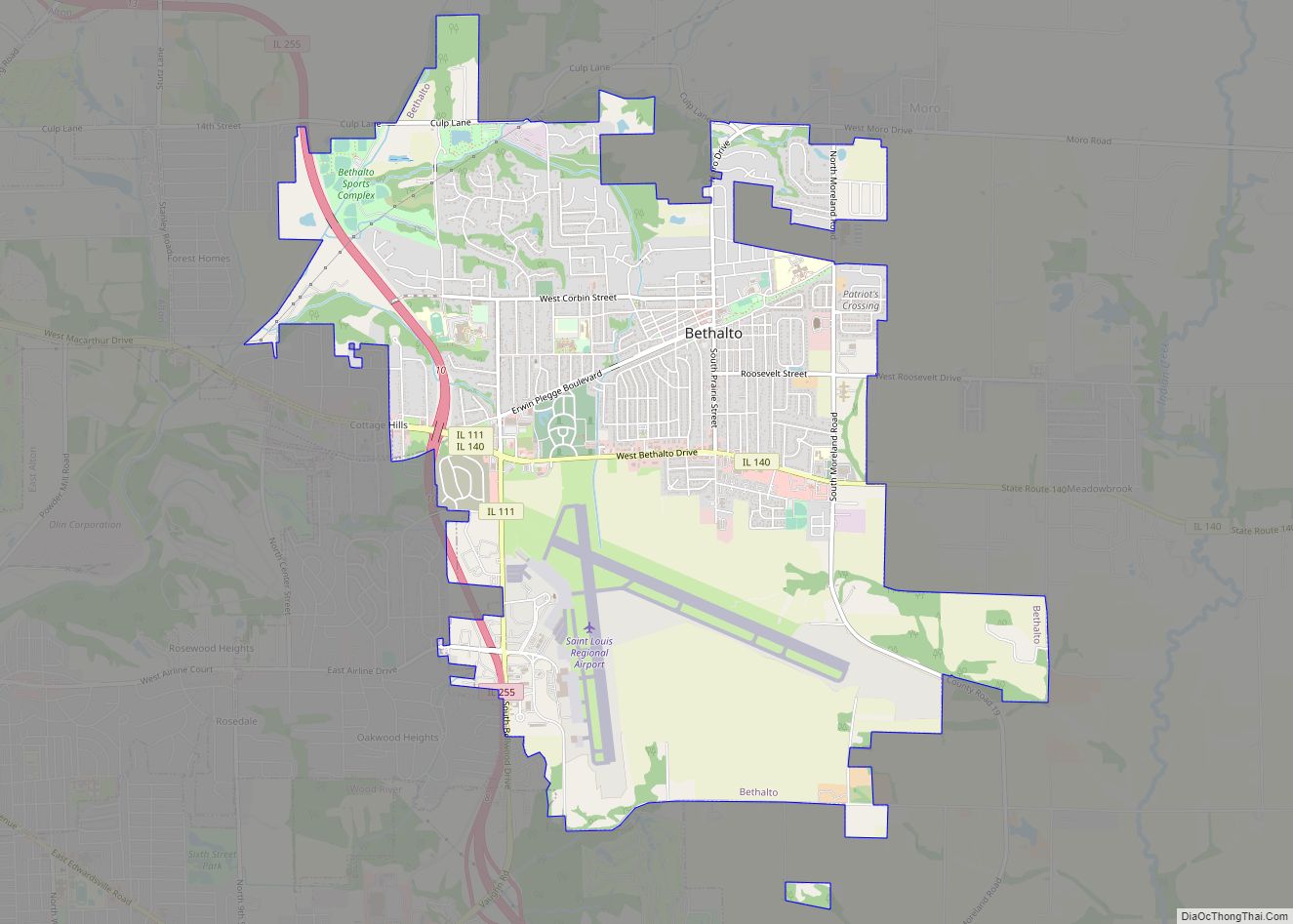
Bethalto is a village in Madison County, Illinois, United States. Bethalto, like the rest of Madison County, is part of the Illinois Metro East portion of the Greater St. Louis metropolitan area. Early in its history, the village was a railway town along the Terre Haute and Alton Railroad. In the 19th century, industry in ... Read more
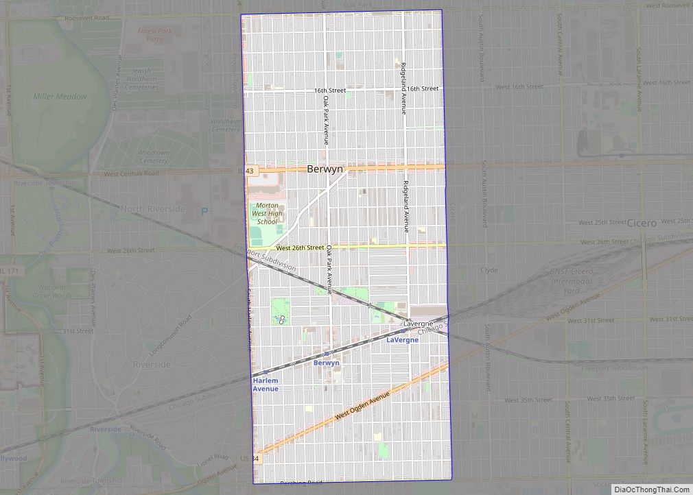
Berwyn /ˈbɜːrwɪn/ is a suburban city in Cook County, Illinois, coterminous with Berwyn Township, which was formed in 1908 after breaking off from Cicero Township. As of the 2020 census, the city had a total population of 57,250. Berwyn city overview: Name: Berwyn city LSAD Code: 25 LSAD Description: city (suffix) State: Illinois County: Cook ... Read more
Berlin is a village in Sangamon County, Illinois, United States. The population was 140 at the 2000 census. It is part of the Springfield, Illinois Metropolitan Statistical Area. It is also colloquially called “Old Berlin”, due to the larger village of New Berlin 1.4 miles south. Berlin village overview: Name: Berlin village LSAD Code: 47 ... Read more
Berkeley (pronounced BURK-lee) is a village located in Cook County, Illinois, United States. Incorporated in 1924, the population at the 2020 census was 5,338. The town has a commuter railroad station on Metra’s Union Pacific/West Line with service to downtown Chicago. Berkeley is situated fourteen miles west of the Chicago Loop in Cook County. Berkeley ... Read more
Benton is a city in and the county seat of Franklin County, Illinois. The population was 6,709 at the 2020 census. Benton city overview: Name: Benton city LSAD Code: 25 LSAD Description: city (suffix) State: Illinois County: Franklin County Elevation: 471 ft (144 m) Total Area: 5.66 sq mi (14.66 km²) Land Area: 5.48 sq mi (14.19 km²) Water Area: 0.18 sq mi (0.46 km²) Total ... Read more
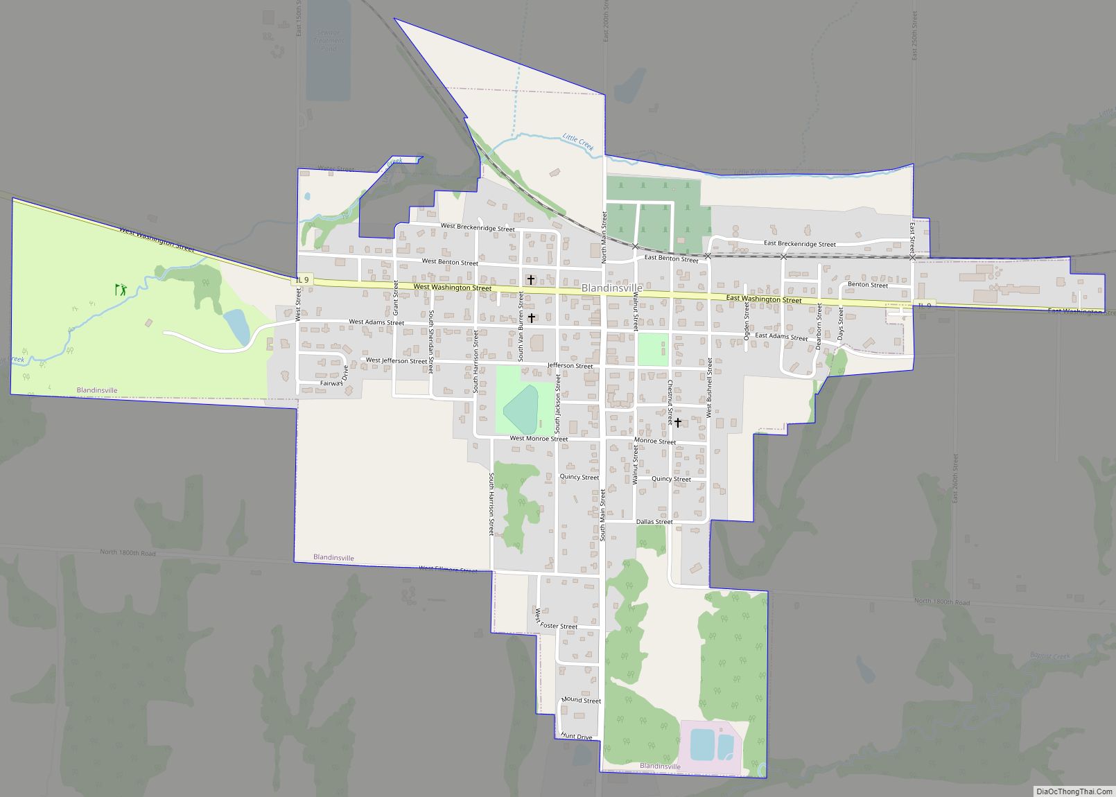
Blandinsville is a village in McDonough County, Illinois, United States. The population was 569 at the 2020 census, down from 651 in 2010. Blandinsville village overview: Name: Blandinsville village LSAD Code: 47 LSAD Description: village (suffix) State: Illinois County: McDonough County Elevation: 729 ft (222 m) Total Area: 0.88 sq mi (2.27 km²) Land Area: 0.88 sq mi (2.27 km²) Water Area: 0.00 sq mi ... Read more
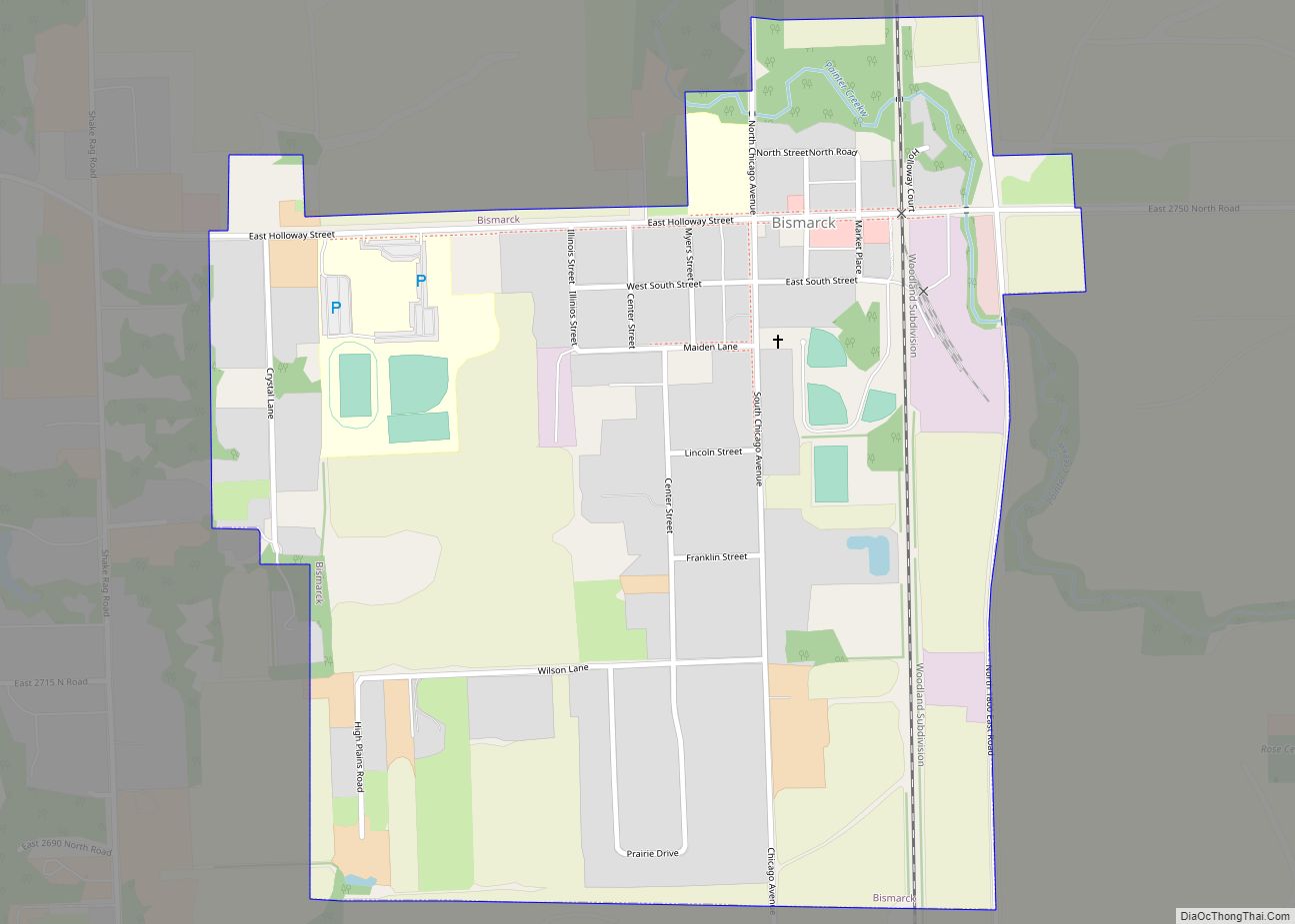
Bismarck is a village in Newell Township, Vermilion County, Illinois, United States. It is part of the Danville, Illinois Metropolitan Statistical Area. The population was 579 at the 2010 census. Bismarck village overview: Name: Bismarck village LSAD Code: 47 LSAD Description: village (suffix) State: Illinois County: Vermilion County Founded: c. 1873 Elevation: 679 ft (207 m) Total ... Read more
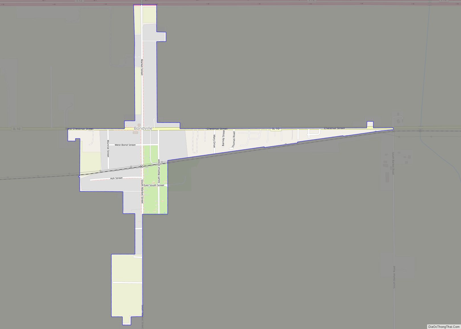
Bondville is a village in Champaign County, Illinois, United States. The population was 388 at the 2020 census. Bondville village overview: Name: Bondville village LSAD Code: 47 LSAD Description: village (suffix) State: Illinois County: Champaign County Elevation: 715 ft (218 m) Total Area: 0.25 sq mi (0.65 km²) Land Area: 0.25 sq mi (0.65 km²) Water Area: 0.00 sq mi (0.00 km²) Total Population: 388 Population ... Read more

