Berkeley (pronounced BURK-lee) is a village located in Cook County, Illinois, United States. Incorporated in 1924, the population at the 2020 census was 5,338.
The town has a commuter railroad station on Metra’s Union Pacific/West Line with service to downtown Chicago.
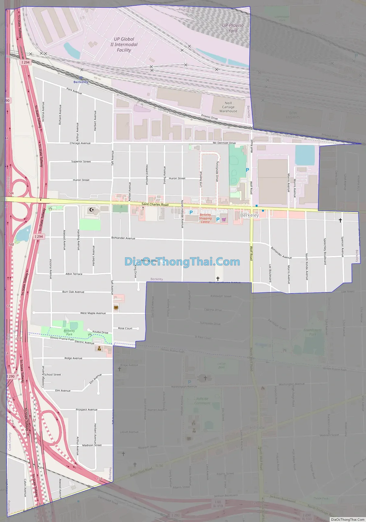
Berkeley is situated fourteen miles west of the Chicago Loop in Cook County. Berkeley is on the western edge of Cook County. Berkeley has instant access to the metropolitan area, with Interstates 290 and 294 comprising its western and part of its southern boundaries, and the Union Pacific Railroad (originally the Chicago & North Western) and the large Proviso classification yard to the north. However, the transit arteries that link Berkeley to separate locations also function to isolate the village from its close neighbors, providing it a small-town atmosphere.
| Name: | Berkeley village |
|---|---|
| LSAD Code: | 47 |
| LSAD Description: | village (suffix) |
| State: | Illinois |
| County: | Cook County |
| Incorporated: | 1924 |
| Total Area: | 1.40 sq mi (3.63 km²) |
| Land Area: | 1.40 sq mi (3.63 km²) |
| Water Area: | 0.00 sq mi (0.00 km²) 0% |
| Total Population: | 5,338 |
| Population Density: | 3,807.42/sq mi (1,470.57/km²) |
| Area code: | 708/464 |
| FIPS code: | 1705404 |
| Website: | www.berkeley.il.us |
Online Interactive Map
Click on ![]() to view map in "full screen" mode.
to view map in "full screen" mode.
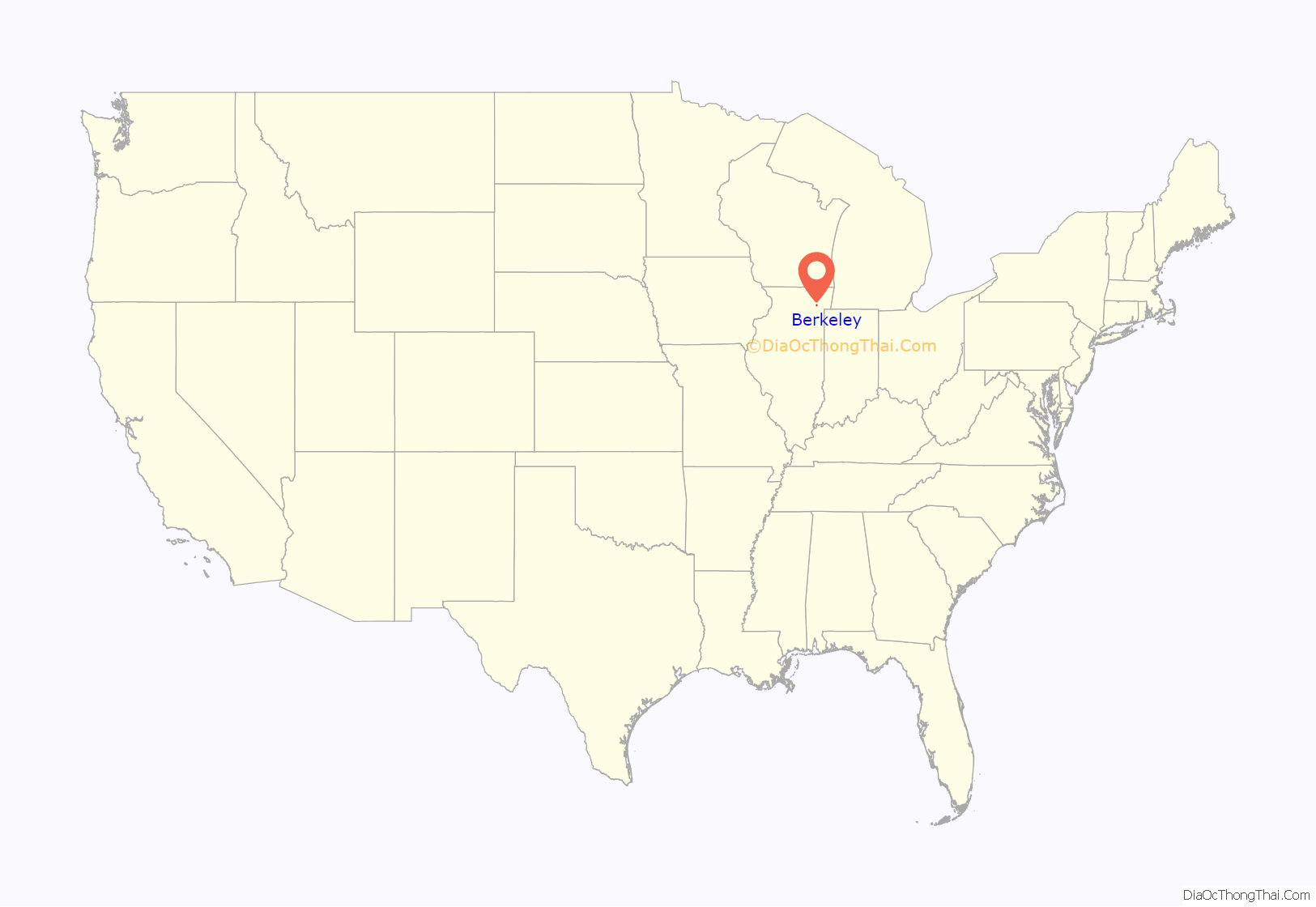
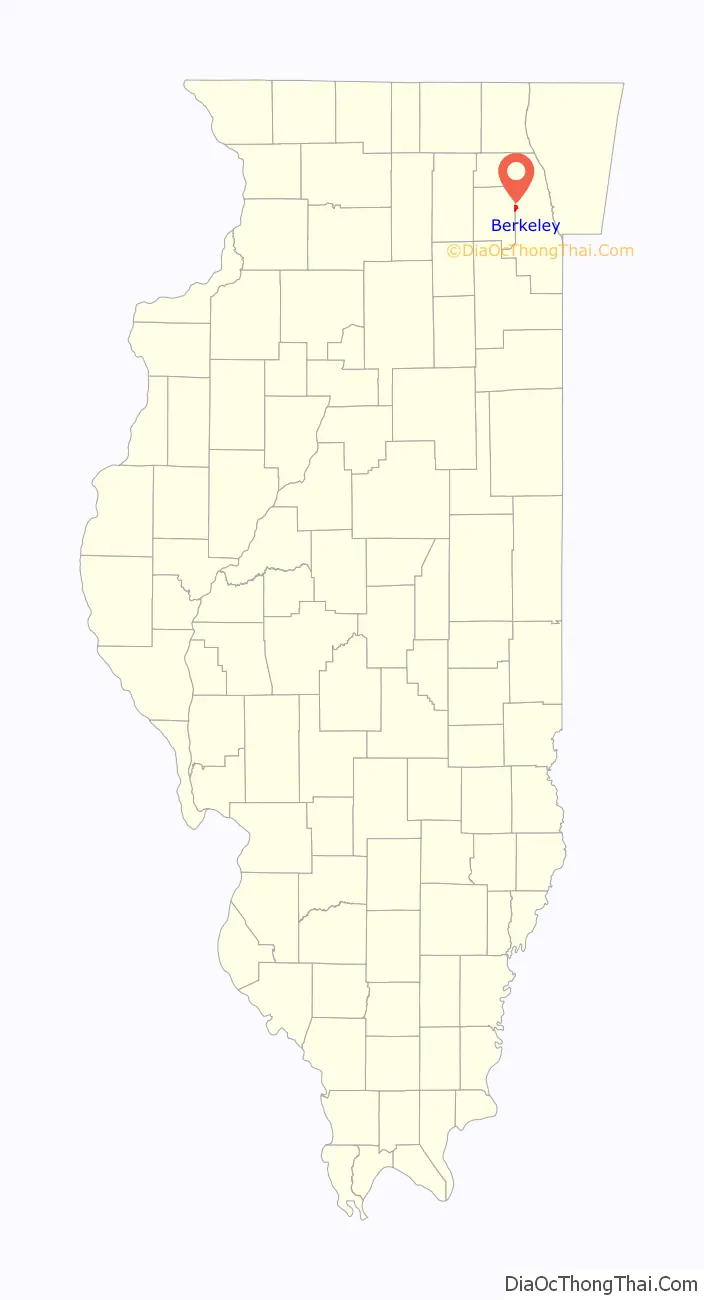
Berkeley location map. Where is Berkeley village?
History
Farmers, mostly of German and Dutch heritage, began to settle in the region that would become Berkeley around 1835. The Dutch sought to be truck farmers, dwelling on farms spanning from 40 to 160 acres, whereas the Germans conducted general farming. In 1848, a small group of farm families founded Sunnyside, a one-room school. Sunnyside Elementary School is still in operation today, however it is now located in a bigger and newer structure. Farmland was provided for what is now known as Old Settler’s Cemetery a short distance west on St. Charles Road (which was finished in 1836).
The Chicago, Aurora & Elgin Railroad (interurban) opened in 1902, providing the area with its first passenger rail service at Berkeley. Subdivisions were made in 1908 and again in 1914-1915 introduced new residential building and new inhabitants to the region, who were mostly English. Berkeley became a village in 1924, thanks to the efforts of these people.
The early 1900s population surge paled in comparison to the post-World War II population explosion in Berkeley, which saw the village population triple from 1,882 in 1950 to 5,792 in 1960. Berkeley also lost a number of homes when the Interstate 290 expansion was built in the late 1950s, cutting a north–south swath across the village’s western part. The Chicago, Aurora & Elgin Railway ceased passenger service in 1957 when traffic was transferred to the new expressway system, but its path is still preserved through the community by the Prairie Path for bicyclists.
Berkeley bought property from the railroad in the 1960s to stretch its northern borders, enabling for the development of a small industrial park. Electrical contractors, printing firms, warehouses, wholesalers, and the World Dryer Corporation, one of the world’s largest hand dryer manufacturers, were among the facility’s 12 light industries in 2000. Berkeley, on the other hand, has remained mostly a residential neighborhood. Many of the residents who bought houses in the village in the 1950s stayed into the 1990s. The village anticipated large residential turnover when these long-term homeowners sold their homes at the turn of the twenty-first century.
Berkeley Road Map
Berkeley city Satellite Map

Geography
Berkeley is located at 41°53′12″N 87°54′38″W / 41.88667°N 87.91056°W / 41.88667; -87.91056 (41.886794, -87.910528).
According to the 2021 census gazetteer files, Berkeley has a total area of 1.40 square miles (3.63 km), all land.
See also
Map of Illinois State and its subdivision:- Adams
- Alexander
- Bond
- Boone
- Brown
- Bureau
- Calhoun
- Carroll
- Cass
- Champaign
- Christian
- Clark
- Clay
- Clinton
- Coles
- Cook
- Crawford
- Cumberland
- De Kalb
- De Witt
- Douglas
- Dupage
- Edgar
- Edwards
- Effingham
- Fayette
- Ford
- Franklin
- Fulton
- Gallatin
- Greene
- Grundy
- Hamilton
- Hancock
- Hardin
- Henderson
- Henry
- Iroquois
- Jackson
- Jasper
- Jefferson
- Jersey
- Jo Daviess
- Johnson
- Kane
- Kankakee
- Kendall
- Knox
- La Salle
- Lake
- Lake Michigan
- Lawrence
- Lee
- Livingston
- Logan
- Macon
- Macoupin
- Madison
- Marion
- Marshall
- Mason
- Massac
- McDonough
- McHenry
- McLean
- Menard
- Mercer
- Monroe
- Montgomery
- Morgan
- Moultrie
- Ogle
- Peoria
- Perry
- Piatt
- Pike
- Pope
- Pulaski
- Putnam
- Randolph
- Richland
- Rock Island
- Saint Clair
- Saline
- Sangamon
- Schuyler
- Scott
- Shelby
- Stark
- Stephenson
- Tazewell
- Union
- Vermilion
- Wabash
- Warren
- Washington
- Wayne
- White
- Whiteside
- Will
- Williamson
- Winnebago
- Woodford
- Alabama
- Alaska
- Arizona
- Arkansas
- California
- Colorado
- Connecticut
- Delaware
- District of Columbia
- Florida
- Georgia
- Hawaii
- Idaho
- Illinois
- Indiana
- Iowa
- Kansas
- Kentucky
- Louisiana
- Maine
- Maryland
- Massachusetts
- Michigan
- Minnesota
- Mississippi
- Missouri
- Montana
- Nebraska
- Nevada
- New Hampshire
- New Jersey
- New Mexico
- New York
- North Carolina
- North Dakota
- Ohio
- Oklahoma
- Oregon
- Pennsylvania
- Rhode Island
- South Carolina
- South Dakota
- Tennessee
- Texas
- Utah
- Vermont
- Virginia
- Washington
- West Virginia
- Wisconsin
- Wyoming


