Bluford is a village in Jefferson County, Illinois, in the United States. As of the 2010 census the village population was 688, down from 785 at the 2000 census. It is part of the Mount Vernon Micropolitan Statistical Area.
| Name: | Bluford village |
|---|---|
| LSAD Code: | 47 |
| LSAD Description: | village (suffix) |
| State: | Illinois |
| County: | Jefferson County |
| Elevation: | 528 ft (161 m) |
| Total Area: | 1.56 sq mi (4.04 km²) |
| Land Area: | 1.56 sq mi (4.04 km²) |
| Water Area: | 0.00 sq mi (0.00 km²) |
| Total Population: | 630 |
| Population Density: | 403.59/sq mi (155.80/km²) |
| Area code: | 618 |
| FIPS code: | 1706964 |
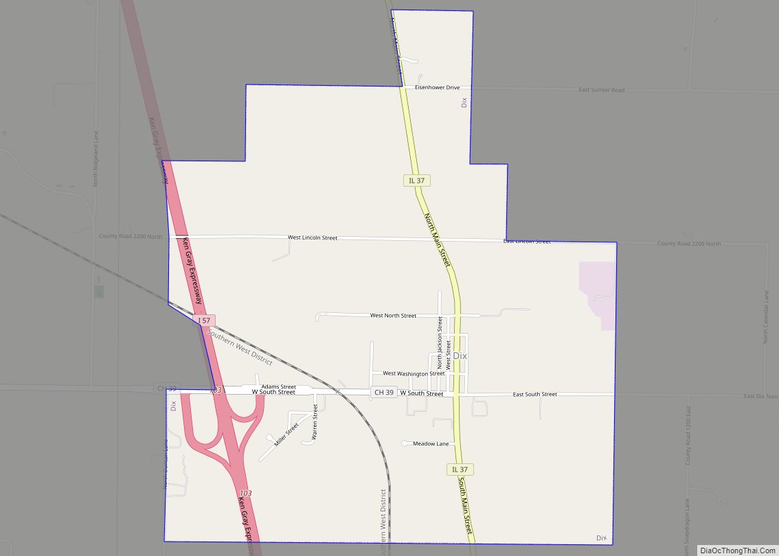
Online Interactive Map
Click on ![]() to view map in "full screen" mode.
to view map in "full screen" mode.
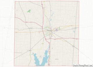
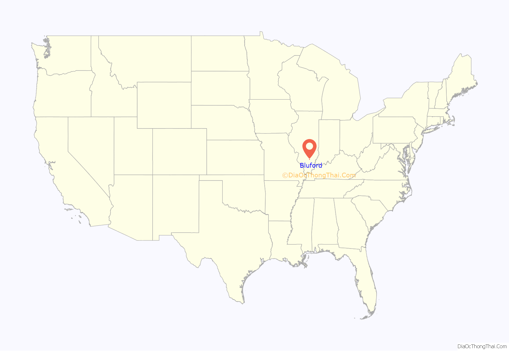
Bluford location map. Where is Bluford village?
History
The town of Bluford was named after Bluford “Bluf” Green (1868–1912) when he was a small boy by his father Wiley Green (1835–1878), who was the local justice of the peace.
An extended story about Bluford by Mrs. Opal H. Wood, follows:
In 1881, before there was a Bluford, construction was started on the Air Line Railroad, later the Southern Railroad. George Evans, Mt. Vernon banker, laid out the town on 40 acres of land bisected by the railroad. In 1882, Rev. Z. H. Byard, a United Brethren preacher, built the first store building and dwelling. Byard also was the first postmaster in Bluford, and the first railroad station agent. Bluford was incorporated in 1925. Dwight Bressler was its first mayor.
Bluford spread on both sides of the railroad. The south section unofficially was called Tilford, and the north, Bluford, both being names of the sons of Minerva (Flint) and Wiley Green. When son Tilford died, all the town became Bluford. No reason was given why the boys should have been so honored.
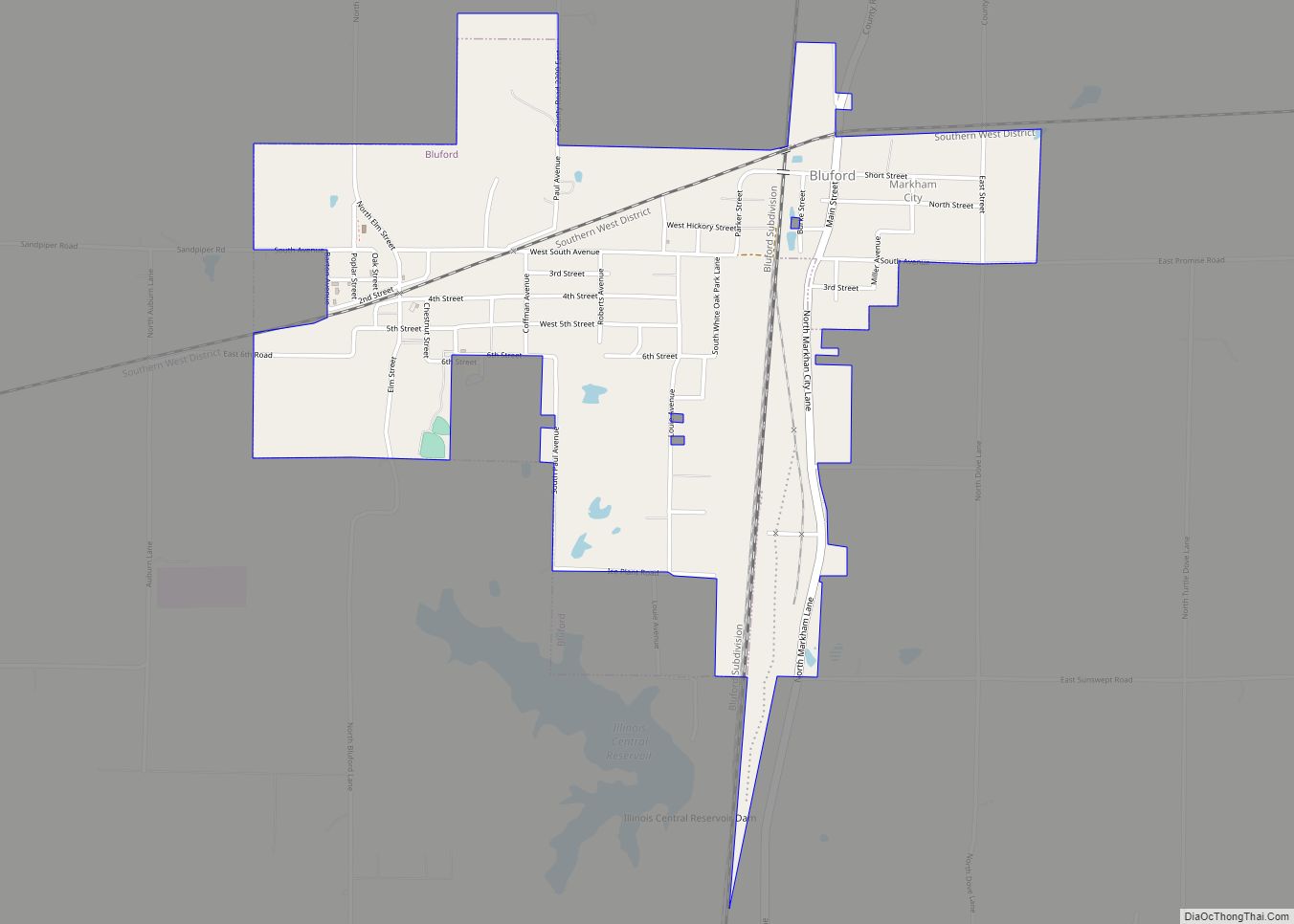
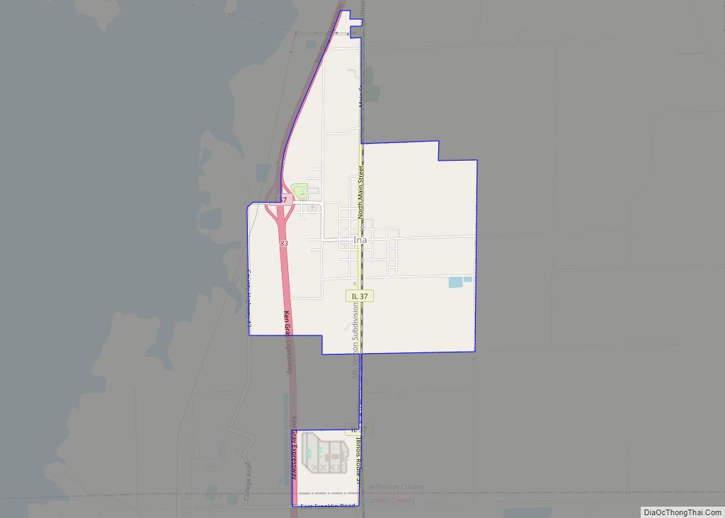
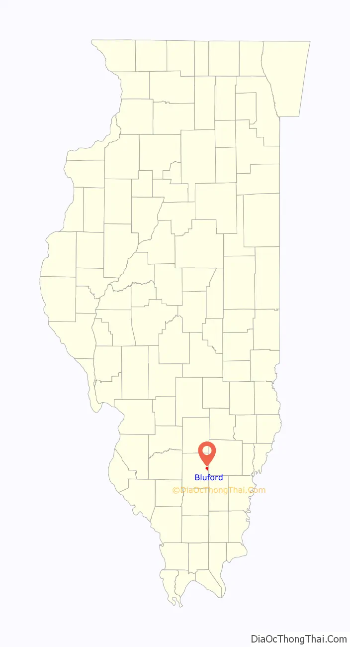
Bluford Road Map
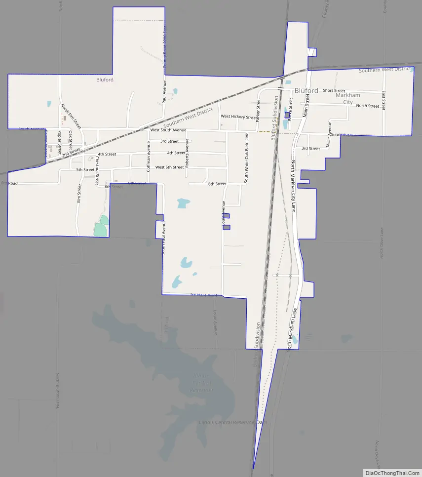
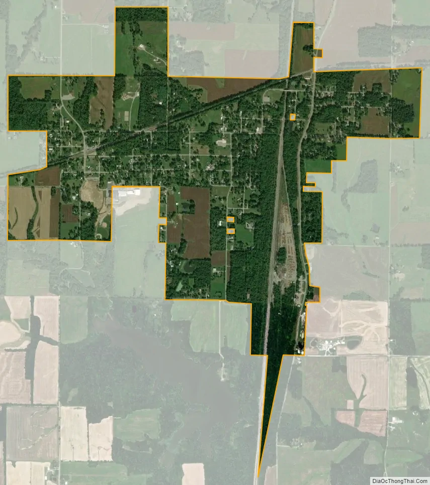
Bluford city Satellite Map
Geography
Bluford is in eastern Jefferson County, 1 mile (1.6 km) south of Illinois Route 15 and 9 miles (14 km) east of Mount Vernon, the county seat. According to the 2010 census, Bluford has a total area of 1.458 square miles (3.78 km), of which 1.45 square miles (3.76 km) (or 99.45%) is land and 0.008 square miles (0.02 km) (or 0.55%) is water.
See also
Map of Illinois State and its subdivision:- Adams
- Alexander
- Bond
- Boone
- Brown
- Bureau
- Calhoun
- Carroll
- Cass
- Champaign
- Christian
- Clark
- Clay
- Clinton
- Coles
- Cook
- Crawford
- Cumberland
- De Kalb
- De Witt
- Douglas
- Dupage
- Edgar
- Edwards
- Effingham
- Fayette
- Ford
- Franklin
- Fulton
- Gallatin
- Greene
- Grundy
- Hamilton
- Hancock
- Hardin
- Henderson
- Henry
- Iroquois
- Jackson
- Jasper
- Jefferson
- Jersey
- Jo Daviess
- Johnson
- Kane
- Kankakee
- Kendall
- Knox
- La Salle
- Lake
- Lake Michigan
- Lawrence
- Lee
- Livingston
- Logan
- Macon
- Macoupin
- Madison
- Marion
- Marshall
- Mason
- Massac
- McDonough
- McHenry
- McLean
- Menard
- Mercer
- Monroe
- Montgomery
- Morgan
- Moultrie
- Ogle
- Peoria
- Perry
- Piatt
- Pike
- Pope
- Pulaski
- Putnam
- Randolph
- Richland
- Rock Island
- Saint Clair
- Saline
- Sangamon
- Schuyler
- Scott
- Shelby
- Stark
- Stephenson
- Tazewell
- Union
- Vermilion
- Wabash
- Warren
- Washington
- Wayne
- White
- Whiteside
- Will
- Williamson
- Winnebago
- Woodford
- Alabama
- Alaska
- Arizona
- Arkansas
- California
- Colorado
- Connecticut
- Delaware
- District of Columbia
- Florida
- Georgia
- Hawaii
- Idaho
- Illinois
- Indiana
- Iowa
- Kansas
- Kentucky
- Louisiana
- Maine
- Maryland
- Massachusetts
- Michigan
- Minnesota
- Mississippi
- Missouri
- Montana
- Nebraska
- Nevada
- New Hampshire
- New Jersey
- New Mexico
- New York
- North Carolina
- North Dakota
- Ohio
- Oklahoma
- Oregon
- Pennsylvania
- Rhode Island
- South Carolina
- South Dakota
- Tennessee
- Texas
- Utah
- Vermont
- Virginia
- Washington
- West Virginia
- Wisconsin
- Wyoming