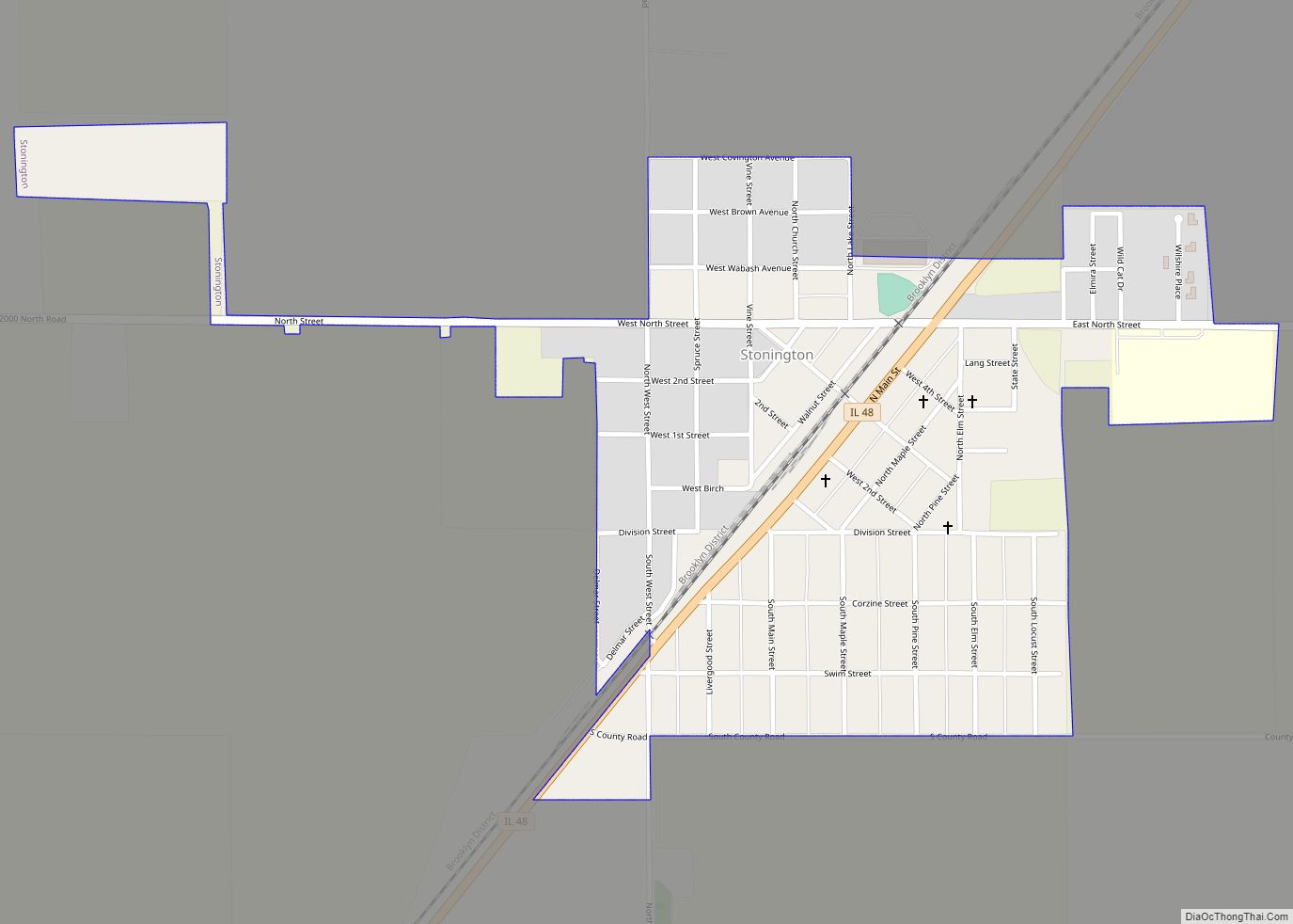
Stonington is a village in Christian County, Illinois, United States. The population was 837 at the 2020 census. Stonington village overview: Name: Stonington village LSAD Code: 47 LSAD Description: village (suffix) State: Illinois County: Christian County Elevation: 614 ft (187 m) Total Area: 0.46 sq mi (1.18 km²) Land Area: 0.46 sq mi (1.18 km²) Water Area: 0.00 sq mi (0.00 km²) Total Population: 837 Population ... Read more
Illinois Cities and Places
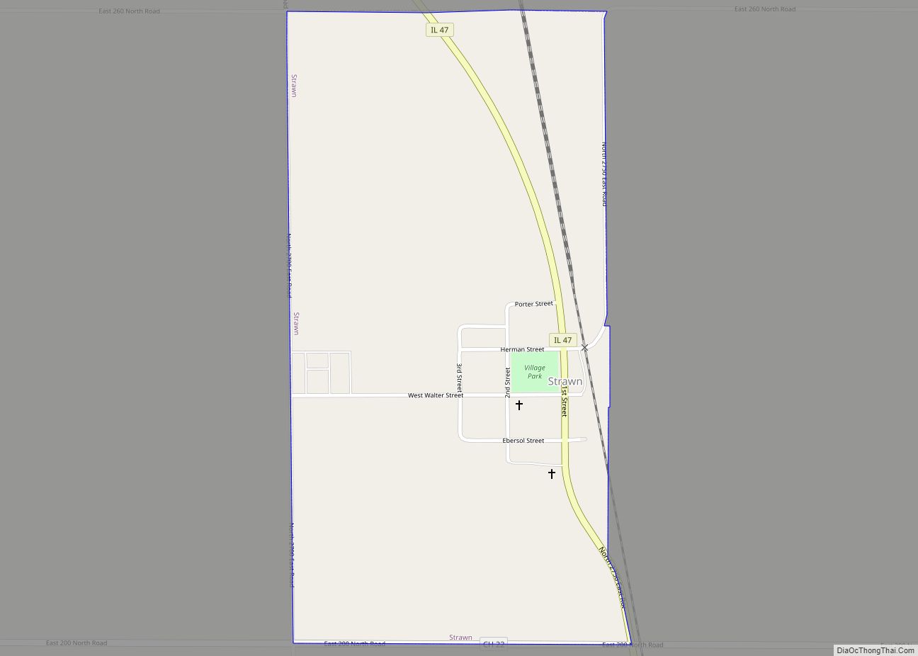
Strawn is a village in Livingston County, Illinois, United States. The population was 100 at the 2010 census. Strawn village overview: Name: Strawn village LSAD Code: 47 LSAD Description: village (suffix) State: Illinois County: Livingston County Elevation: 771 ft (235 m) Total Area: 0.51 sq mi (1.32 km²) Land Area: 0.51 sq mi (1.32 km²) Water Area: 0.00 sq mi (0.00 km²) Total Population: 101 Population ... Read more
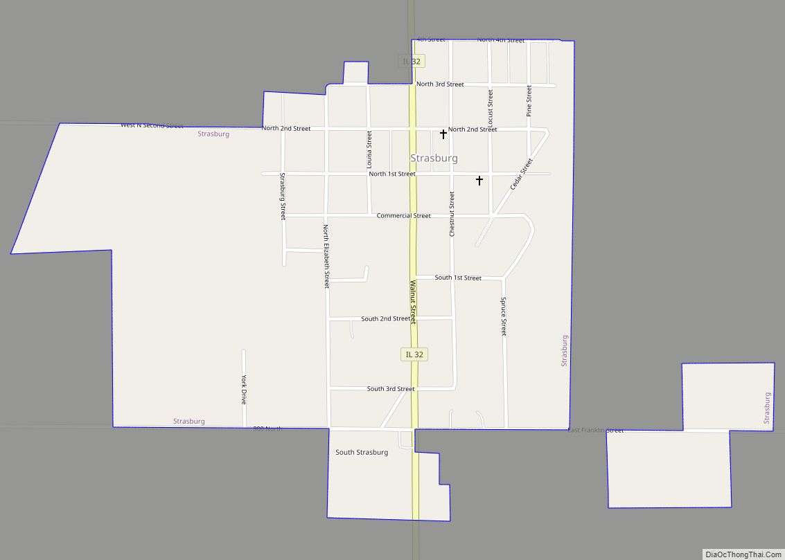
Strasburg is a village in Shelby County, Illinois, United States. The population was 531 at the 2020 census. Strasburg village overview: Name: Strasburg village LSAD Code: 47 LSAD Description: village (suffix) State: Illinois County: Shelby County Elevation: 633 ft (193 m) Total Area: 0.54 sq mi (1.40 km²) Land Area: 0.54 sq mi (1.40 km²) Water Area: 0.00 sq mi (0.00 km²) Total Population: 531 Population ... Read more
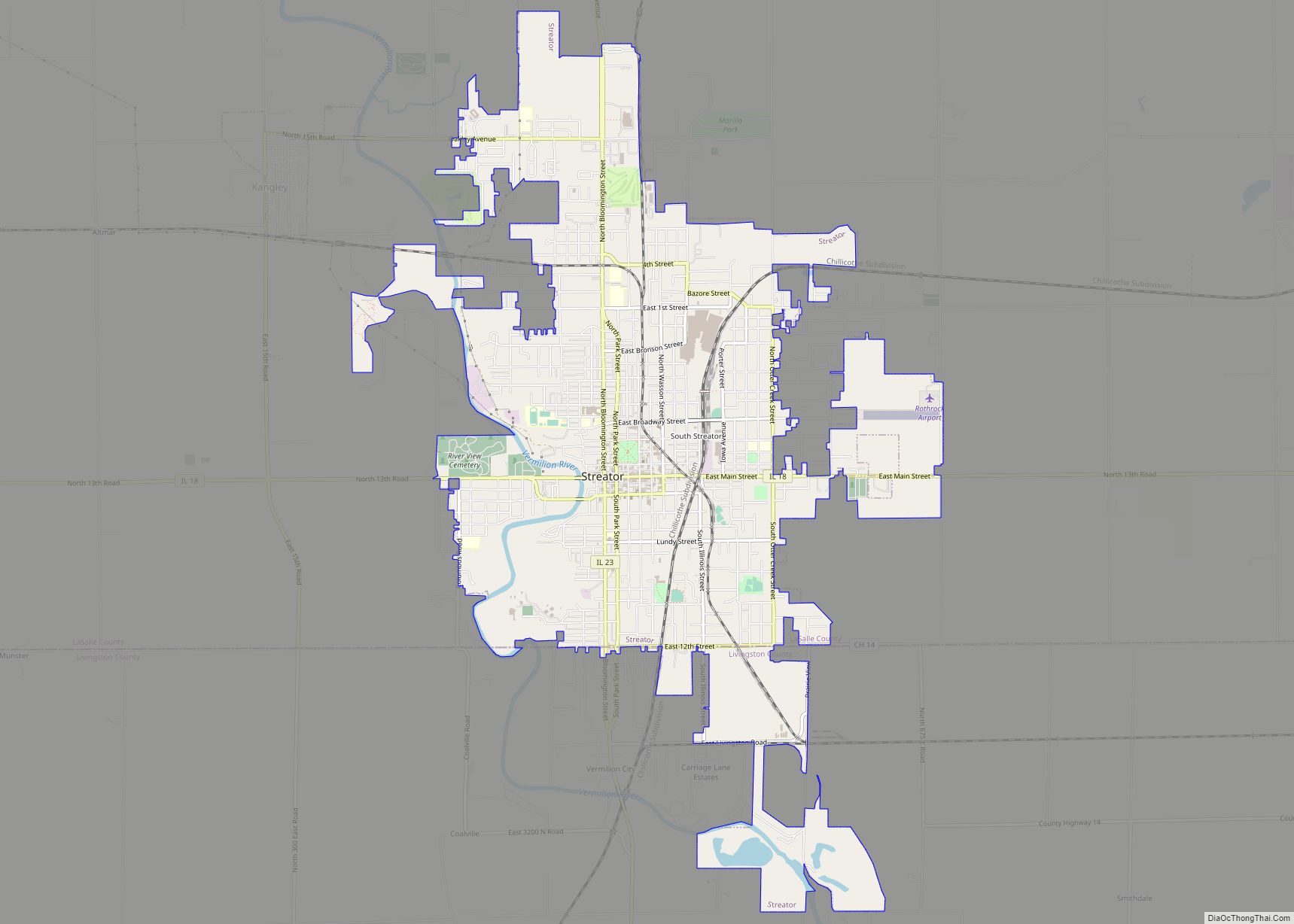
Streator /ˈstriːtər/ is a city in LaSalle and Livingston counties in the U.S. state of Illinois. The city is situated on the Vermilion River approximately 81 miles (130 km) southwest of Chicago in the prairie and farm land of north-central Illinois. As of the 2020 census, the population of Streator was 12,500. Streator city overview: Name: ... Read more
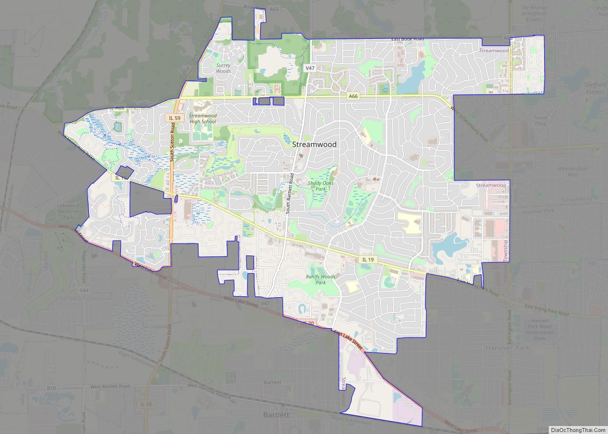
Streamwood is a village in Cook County, Illinois, United States. Per the 2020 census, the population was 39,577. It is a northwest suburb of Chicago, and is a part of the Chicago metropolitan area. Streamwood is one of the three communities that make up the so-called “Tri Village” area, along with Bartlett and Hanover Park. ... Read more
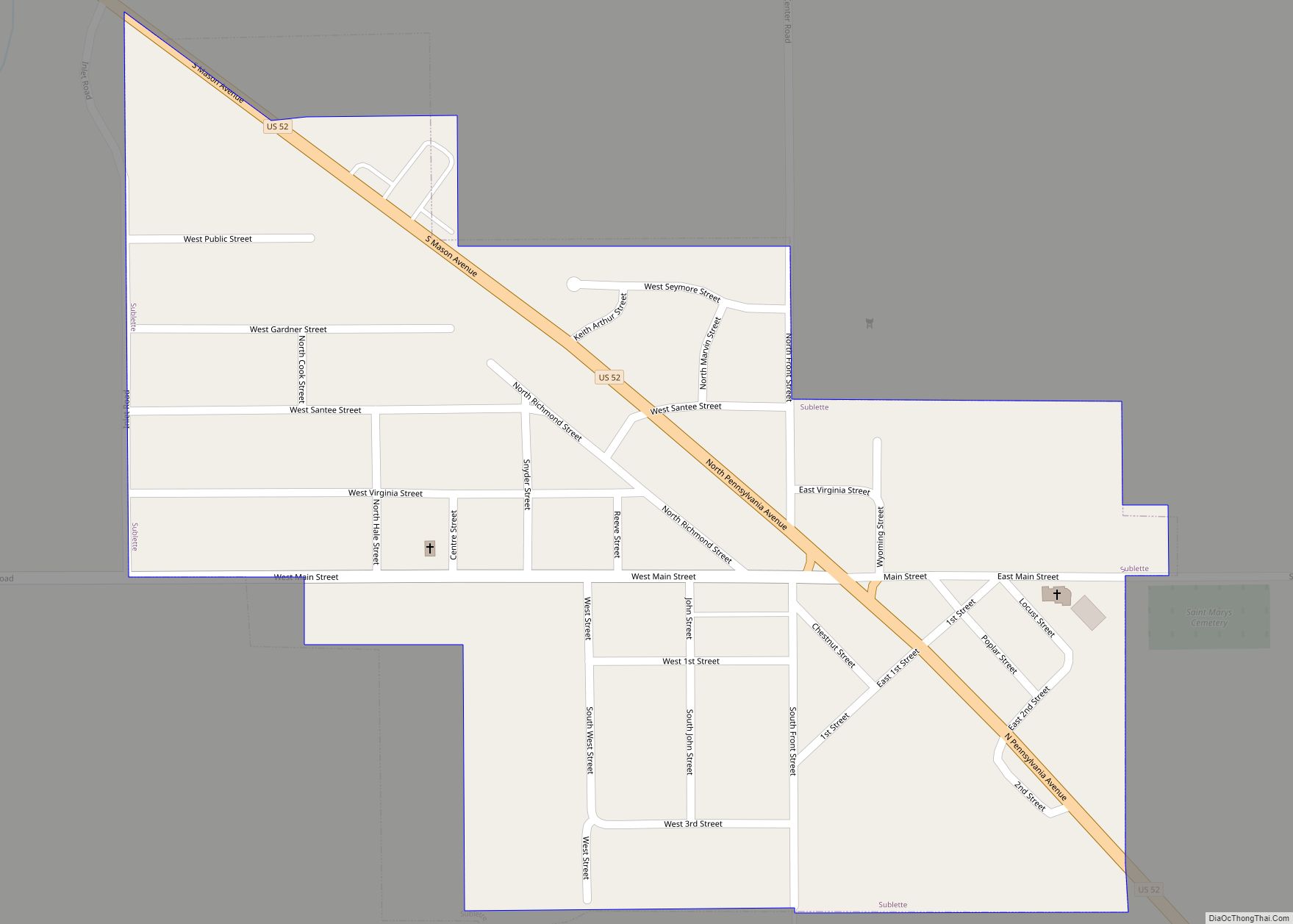
Sublette is a village in Lee County, Illinois, United States. The population was 449 at the 2010 census. Sublette village overview: Name: Sublette village LSAD Code: 47 LSAD Description: village (suffix) State: Illinois County: Lee County Incorporated: February 18, 1857 Elevation: 927 ft (283 m) Total Area: 0.40 sq mi (1.04 km²) Land Area: 0.40 sq mi (1.04 km²) Water Area: 0.00 sq mi (0.00 km²) ... Read more
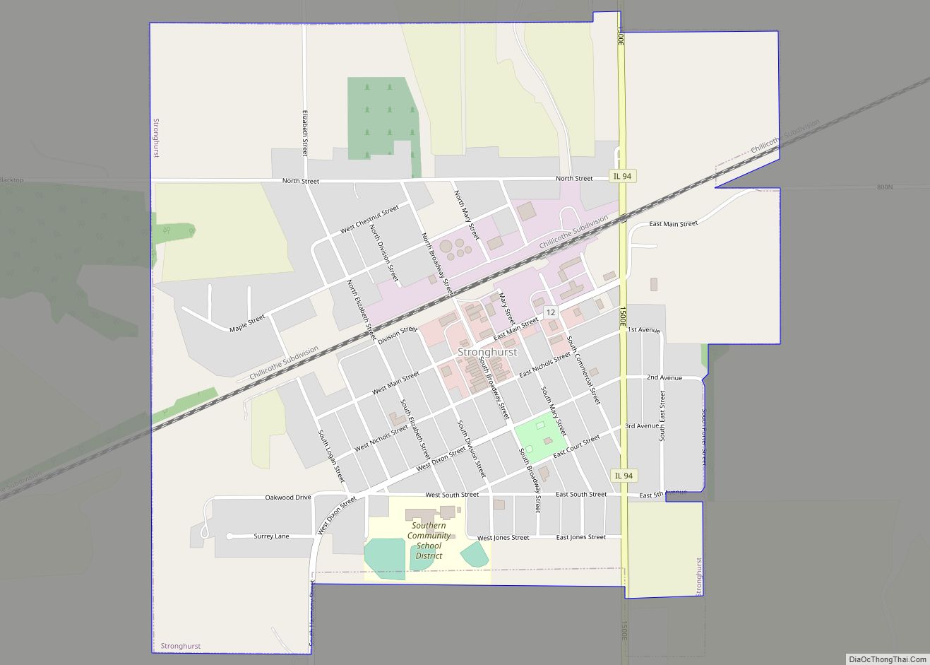
Stronghurst is a village in Henderson County, Illinois, United States. The population was 883 at the 2010 census. It is part of the Burlington, IA–IL Micropolitan Statistical Area. Stronghurst village overview: Name: Stronghurst village LSAD Code: 47 LSAD Description: village (suffix) State: Illinois County: Henderson County Elevation: 673 ft (205 m) Total Area: 0.87 sq mi (2.26 km²) Land Area: ... Read more
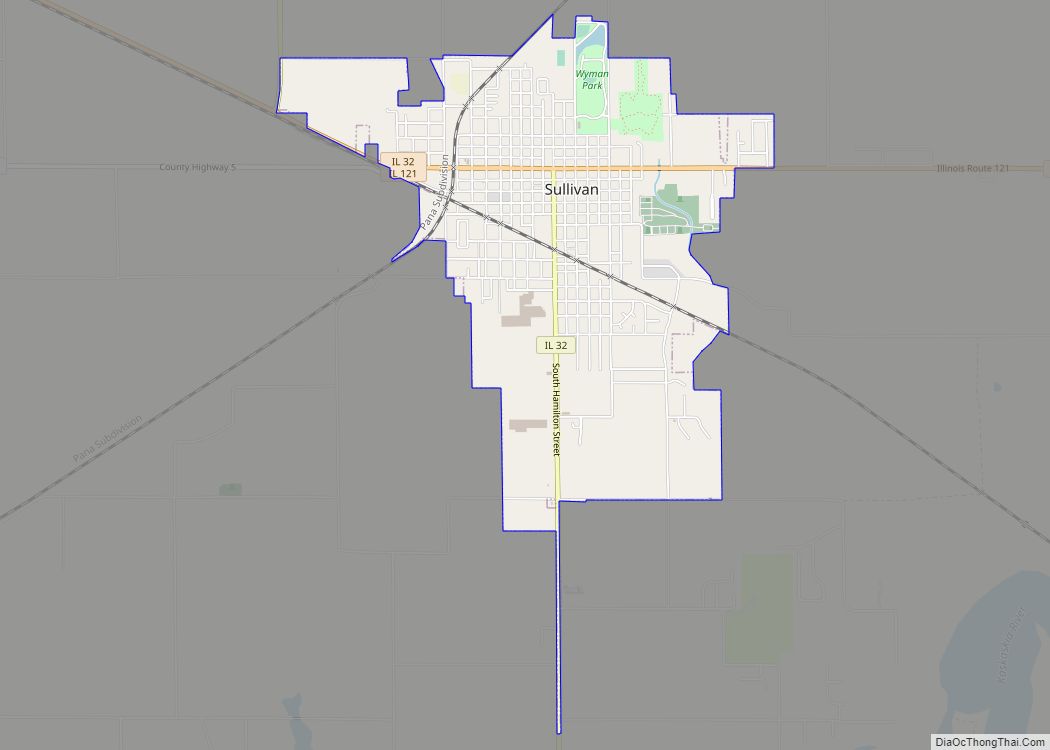
Sullivan is a city in Moultrie County, Illinois, United States. The population was 4,413 at the time of the 2020 census. It is the county seat and largest city of Moultrie County. Sullivan is named after Sullivan’s Island, South Carolina, where Fort Moultrie is located. Sullivan city overview: Name: Sullivan city LSAD Code: 25 LSAD ... Read more
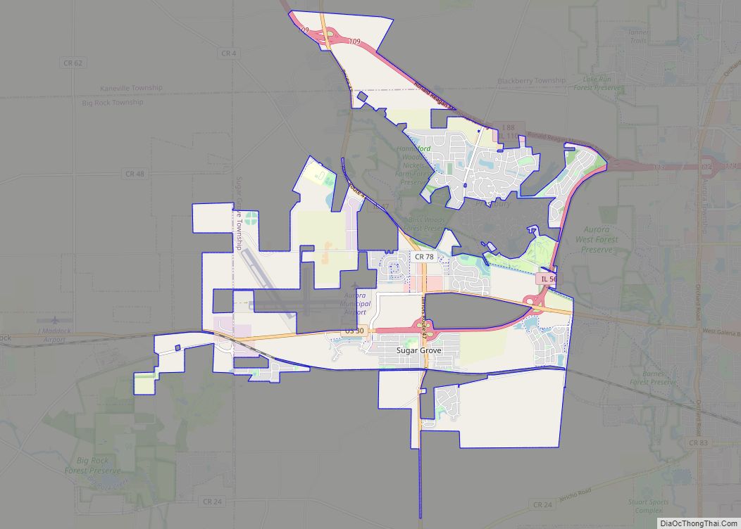
Sugar Grove is a village in Kane County, Illinois, United States. The population at the 2010 census was 8,997, and in 2018 the estimated population was 9,803. Sugar Grove village overview: Name: Sugar Grove village LSAD Code: 47 LSAD Description: village (suffix) State: Illinois County: Kane County Incorporated: 1957 Total Area: 10.56 sq mi (27.35 km²) Land Area: ... Read more
Summit is a village in Cook County, Illinois, United States. The population was 11,161 at the 2020 census. The name Summit, in use since 1836, refers to the highest point on the Chicago Portage between the northeast-flowing Chicago River and the southwest-flowing Des Plaines River located just north of the village. Argo is a subdivision ... Read more
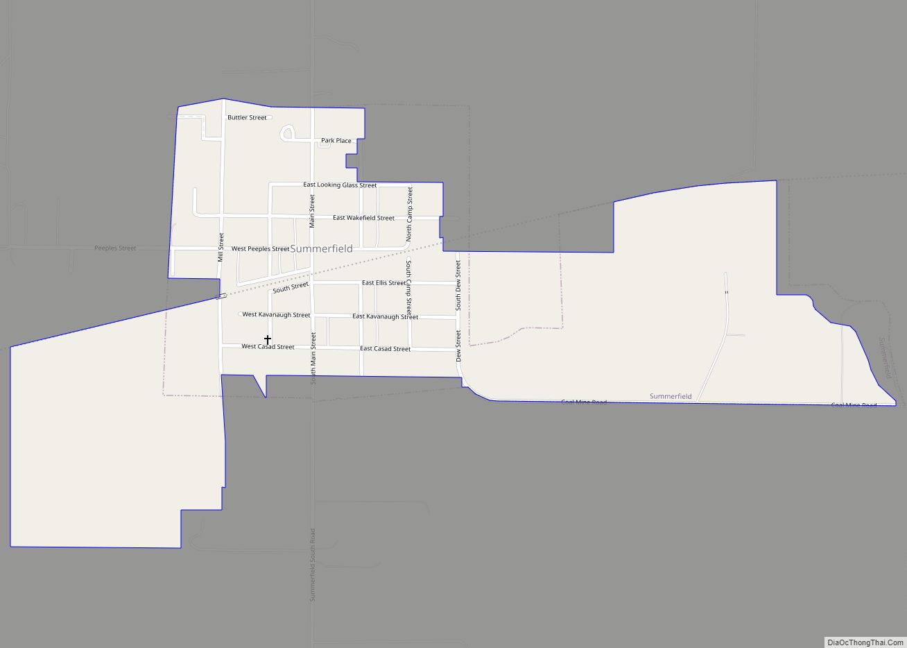
Summerfield is a village in St. Clair County, Illinois, United States. The population was 451 at the 2010 census. Summerfield village overview: Name: Summerfield village LSAD Code: 47 LSAD Description: village (suffix) State: Illinois County: St. Clair County Elevation: 496 ft (151 m) Total Area: 0.49 sq mi (1.28 km²) Land Area: 0.49 sq mi (1.28 km²) Water Area: 0.00 sq mi (0.00 km²) Total Population: ... Read more
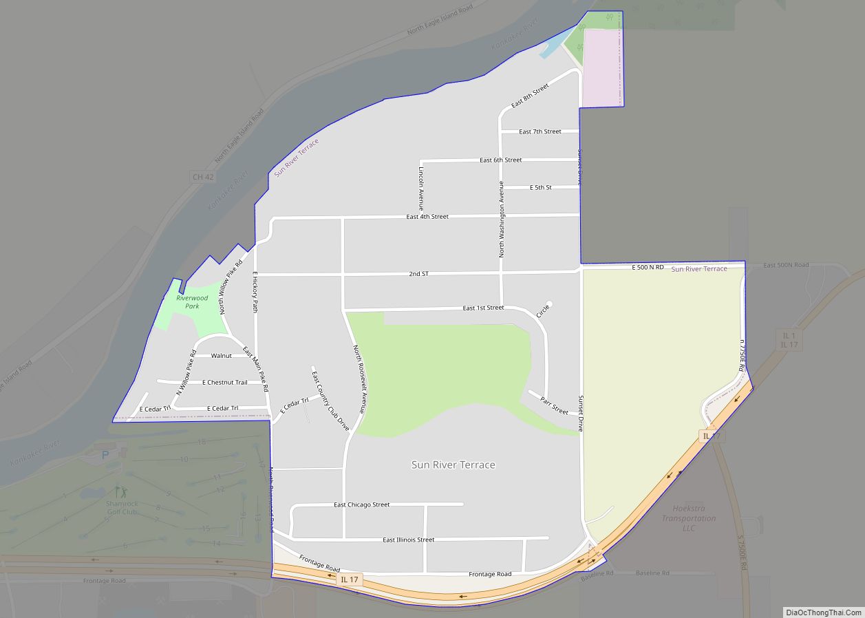
Sun River Terrace is a village in Kankakee County, Illinois, United States. The population was 455 at the 2020 census. It is included in the Kankakee–Bradley, Illinois Metropolitan Statistical Area. Sun River Terrace village overview: Name: Sun River Terrace village LSAD Code: 47 LSAD Description: village (suffix) State: Illinois County: Kankakee County Elevation: 622 ft (190 m) ... Read more
