Streator /ˈstriːtər/ is a city in LaSalle and Livingston counties in the U.S. state of Illinois. The city is situated on the Vermilion River approximately 81 miles (130 km) southwest of Chicago in the prairie and farm land of north-central Illinois. As of the 2020 census, the population of Streator was 12,500.
| Name: | Streator city |
|---|---|
| LSAD Code: | 25 |
| LSAD Description: | city (suffix) |
| State: | Illinois |
| County: | LaSalle County, Livingston County |
| Elevation: | 623 ft (190 m) |
| Total Area: | 7.38 sq mi (19.10 km²) |
| Land Area: | 7.31 sq mi (18.93 km²) |
| Water Area: | 0.07 sq mi (0.18 km²) |
| Total Population: | 12,500 |
| Population Density: | 1,694.69/sq mi (645.45/km²) |
| Area code: | 815, 779 |
| FIPS code: | 1773170 |
| GNISfeature ID: | 2395987 |
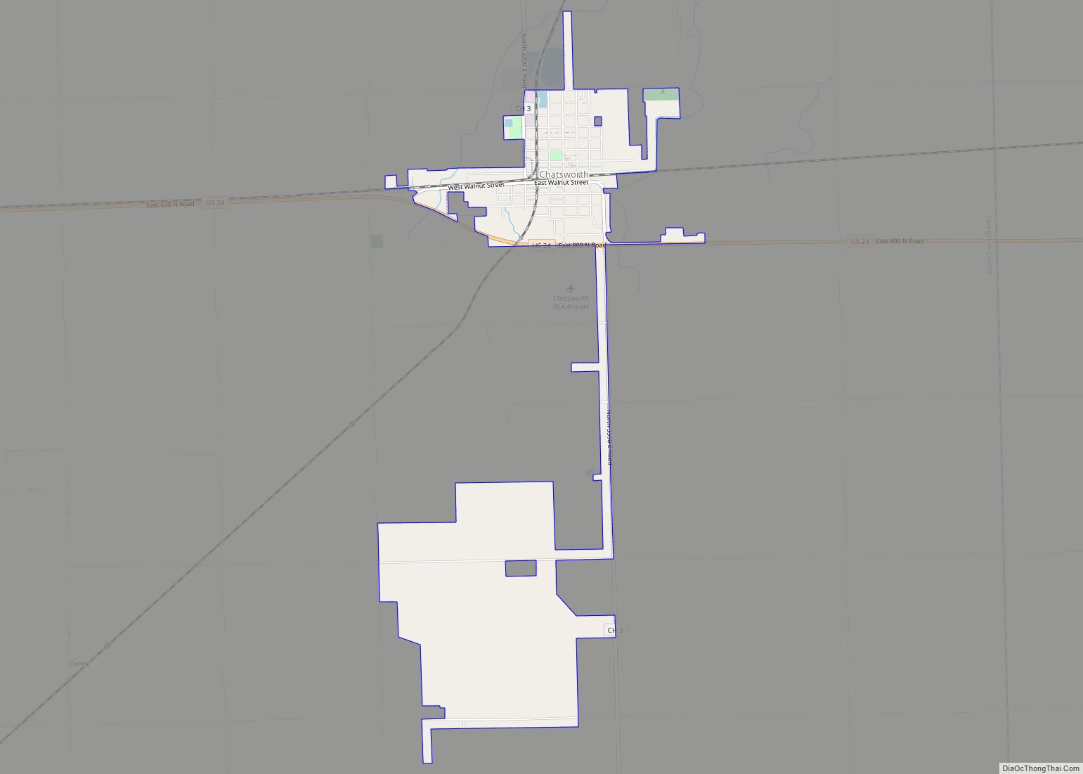
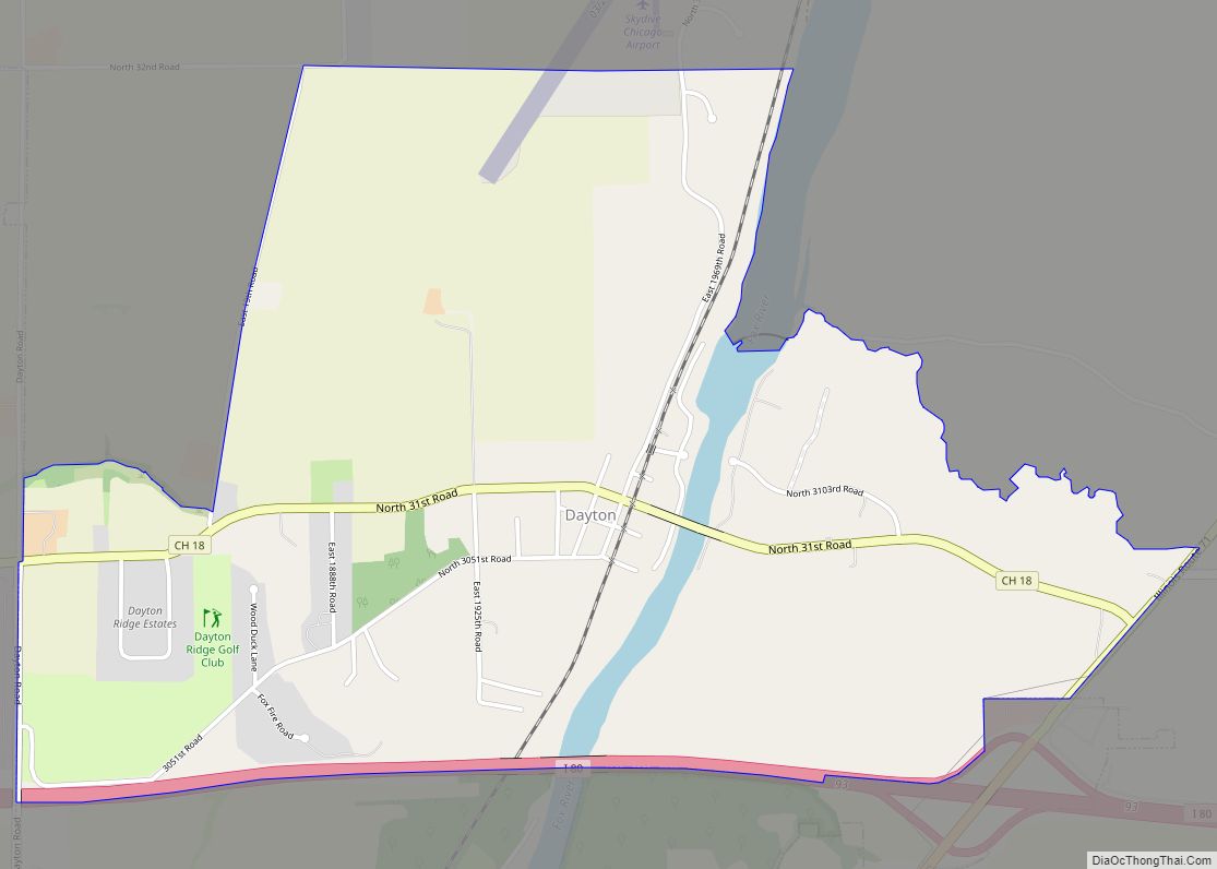
Online Interactive Map
Click on ![]() to view map in "full screen" mode.
to view map in "full screen" mode.
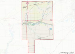
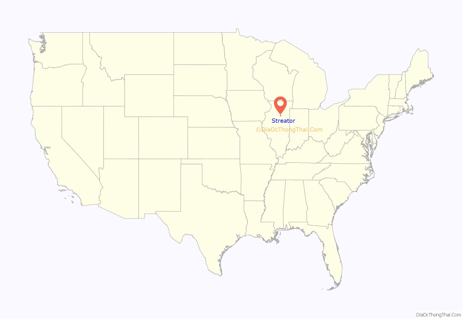
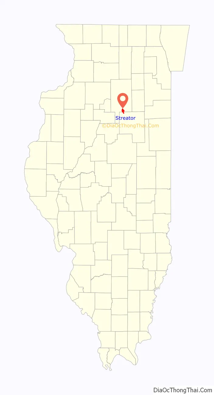
Streator location map. Where is Streator city?
History
Although settlements had occasionally existed in the area, they were not permanent. In 1824, surveyors for the Illinois and Michigan Canal which would extend from Chicago’s Bridgeport neighborhood to the Illinois River, a tributary of the Mississippi River, arrived in this area of the Vermillion River, followed by homesteaders by the 1830s. In 1861, miner John O’Neill established a trading post called “Hardscrabble” (ironically an early name for the Bridgeport neighborhood), supposedly because he watched loaded animals struggle up the river’s banks. Another name for the new settlement was “Unionville”.
Streator received its current name to honor Worthy S. Streator, an Ohio industrialist who financed the region’s first coal mining operation. Streator received a town charter in 1868 and incorporated as a city in 1882. In 1882 Col. Ralph Plumb was elected as its first mayor. Streator’s early growth was due to the coal mine, as well as a major glass manufacturer and its status as a midwestern railroad hub. Today Streator’s economy is led by heavy-equipment manufacturer Vactor, food distributor U.S. Foodservice and glass bottle manufacturer Owens-Illinois.
The city is the hometown of Clyde Tombaugh, who in 1930 discovered the dwarf planet Pluto, the first object to be discovered in what would later be identified as the Kuiper belt; and George “Honey Boy” Evans, who wrote “In the Good Old Summer Time.” Streator hosts annual events including Streator Park Fest; an Independence Day celebration, the Roamer Cruise Night and the Light Up Streator celebration. Streator is governed by a Manager–council style of government. It maintains police and fire departments as well as a public works system. Its current mayor is Jimmie Lansford.
Pre-settlement
Settlement in the region began with the Kaskaskia tribe of the Illiniwek Confederation. This Native American tribe’s Grand Village was located on the north bank of the Illinois River in nearby Utica, Illinois. The Kaskaskia “were hunters and gatherers, farmers, warriors and traders.” The Illiniwek were the last remnants of the Mississippian culture. French explorers Father Jacques Marquette and Louis Jolliet were the first Europeans to enter this region during a visit to the Grand Village in 1673. Marquette established a mission at the village in 1675. In 1679, French explorer Robert de LaSalle ordered a fortification to be built at the site that was later known as Starved Rock. Later that year Iroquois attacked the Kaskaskia village and the 8,000 villagers dispersed. The French and local tribes again fortified the village and created Fort St. Louis, but the Iroqouis continued to attack. The settlement was eventually abandoned by 1691.
In the years after the initial exploration, the French settled their newly claimed territory as La Louisiane. During much of the 18th century the region was sparsely populated by French, British and American fur traders. The French ceded control of the part of the La Louisiane territory east of the Mississippi River to the British at the end of the French and Indian War in 1763. Of this territory ceded by the French to Britain, the part extending down to the Ohio River was added to Britain’s Quebec Province when the British Parliament passed the Quebec Act in 1774. During the American Revolutionary War (1775–83), this region that had been added to Quebec was claimed by Virginia in 1778, after a victory over the British by George Rogers Clark at Kaskaskia; Virginia named the region Illinois County.
After the war, the area was included in the territory ceded by Britain to the United States under the Treaty of Paris (1783); in 1784, Virginia ceded its claim over Illinois County to the Congress of the Confederation of the United States. This area, south of what remained of Britain’s Quebec but north of the Ohio River, later became the Northwest Territory created by the Congress on July 13, 1787. From part of this Northwest Territory area, the Indiana Territory was formed by the United States Congress on July 4, 1800; from part of this Indiana Territory area, the Illinois Territory created by Congress on March 1, 1809; and from part of that Illinois Territory area, the state of Illinois was admitted to the union on December 3, 1818, by Congress.
The city of Chicago served as the main impetus of growth in the area throughout the early 19th century, and more importantly to the region around Streator was the development of the Illinois and Michigan Canal in 1821. This canal connected Lake Michigan to the Mississippi River, greatly increasing shipping traffic in the region. Land speculation in areas lining the canal and rivers ensued and towns sprouted quickly. Individual settlements in the Bruce Township region started as early as 1821. In 1861, John O’Neil established the first settlement in what was to become the city of Streator when he opened a small grocery and trading business.
Coal and cityhood
Streator began with coal. Vast beds of coal lie just beneath the surface throughout much of Illinois. The demand for coal was increasing in the mid-19th century, and East Coast capitalists were willing to invest in this region. The area was originally known as Hardscrabble, “because it was a hard scrabble to cross the Vermilion River and get up the hill to where the town was first located”. The town was renamed Unionville in honor of the local men who fought for the Union during the Civil War.
In 1866 Worthy S. Streator, a prominent railroad promoter from Cleveland, Ohio, financed the region’s first mining operation. Streator approached his nephew Col. Ralph Plumb at a railway station in December 1865 about overseeing a mining operation in central Illinois for him and several investors. Colonel Plumb agreed and arrived in the town then called Hardscrabble in February 1866. Success of the project required a rail line near the mines. Plumb and Streator “invited” Streator’s friend, then Ohio Congressman James A. Garfield to sign on as an investor. In return, Garfield was expected to work with Robert C. Schenck, then the president of the American Central railroad, in getting the railroad to “bend their lines” to Streator. Eventually the plan did not work. The Vermilion Company then made arrangements with the Fox River line for their needed rail service.
Included in Col. Plumb’s duties were overseeing the platting and incorporation of the quickly growing area. Plumb served as Streator’s first mayor serving two terms. Plumb’s mark on the early development of Streator was notable. The main hotel and the local opera house bore his name. He financed the construction of the city’s first high school. Earlier in his life he served as an Ohio state representative and as an officer in the Union Army. Later in life he served Illinois as a representative in Congress.
Streator grew rapidly due to a number of factors: the need for coal in Chicago, the desire of European immigrants to come to America, and the investments made by East Coast capitalists willing to invest in coal operations. Plumb needed laborers for his mines, but the Vermilion Coal Company was unable to afford European employment agents. Instead, it alerted steamship offices of the new job opportunities and convinced local railroads to carry notices of Streator’s promise. Land was sold to incoming miners at discounted prices as another enticement, but the company retained mineral rights to the land. In 1870, Streator’s population was 1,486, but by 1880 its population tripled. Scottish, English, Welsh, German and Irish immigrants came to the area first, followed later by scores of mostly Slovaks; Czechs, Austrians and Hungarians came in lesser numbers. Today many of the residents are direct descendants of these original miners.
The success of the local mining operations and the introduction of the new glass making industry allowed for improvements in the living conditions and personal wealth of its miners and laborers. An 1884 survey by the Illinois Bureau of Labor Statistics showed that 20 percent of Streator’s miners owned their houses. Labor movements like the Miners National Association and the United Mine Workers of America began to flourish, as did ethnic churches and social institutions such as the Masons and Knights of Pythias. In his 1877 History of LaSalle County, author H.F. Kett states:
In addition to coal, the area around Streator contained rich clay and shale, which gave rise to Streator’s brick, tile and pipe industries. In time, these supplanted coal as Streator’s leading exports, but Streator was best known for its glass bottle industry. In the early 20th century Streator held the title of “Glass Manufacturing Capital of the World.” Streator continued to flourish for much of the early 20th century. Ultimately the demand for coal was replaced with the growing needs for gas and oil. Many of the underground mines in Streator closed during the 1920s. The last of the mines shut down in 1958. While other areas of LaSalle County continued to grow, Streator’s population peaked at about 17,000 residents in 1960 and has since declined. Many of the original downtown buildings have been demolished, but few have been replaced. Another reason for static growth in Streator is its distance from any major Interstate Highway. When the federal highway system started in the 1950s and 1960s no interstate was built near the city. Streator is 23 miles (37 km) from Interstate 55, 16 miles (26 km) from Interstate 80 and Interstate 39.
2007 Comprehensive plan
Streator and the North Central Illinois Council of Governments (NCICG) finalized the Streator Comprehensive Plan in February 2007. The plan if approved is a roadmap for civic, transportation, housing, commercial and recreational improvements in the city through 2027.
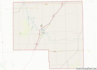
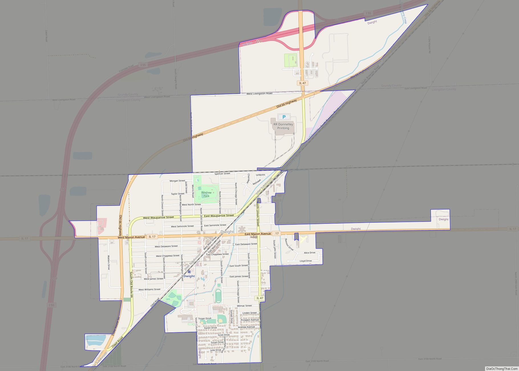
Streator Road Map

Streator city Satellite Map

Geography
As of 2021, Streator has a total area of 7.376 square miles (19.10 km), of which 7.308 square miles (18.93 km) (or 99.1%) is land and 0.068 square miles (0.18 km) (or 0.9%) is water.
Topography and geology
Streator lies within the Vermilion River/Illinois River Basin Assessment Area (VRAA) defined by the watershed of the Vermilion River, a major tributary to the Illinois River in Central Illinois, an area of mostly flat prairie. The topography of the basin is a complex collection of buried valleys, lowlands and uplands carved by repeated episodes of continental glaciation.
Underneath the topsoil, the region’s bedrock contains vast amounts of coal. About 68% of Illinois has coal-bearing strata of the Pennsylvanian geologic period. According to the Illinois State Geological Survey, 211 billion tons of bituminous coal are estimated to lie under the surface, having a total heating value greater than the estimated oil deposits in the Arabian Peninsula. However, this coal has a high sulfur content, which causes acid rain.
Streator’s coal mining history closely parallels Illinois’, with a great push in coal production from 1866 until the 1920s, when many of the mines closed. The low-sulfur coal of the Powder River Basin of Wyoming and the growing demands for oil caused a decline in demand for Streator’s high-sulfur coal.
The St. Peter Sandstone is an Ordovician formation in the Chazyan stage of the Champlainian series. This layer runs east–west from Illinois to South Dakota. The stone consists of 99.44% quartz or silicon dioxide (SiO2), which is used for the manufacture of glass. Its purity is especially important to glassmakers. Streator, which lies within outcrop area of the St. Peter sandstone formation, has mined this mineral since the late 19th century for use in its glass manufacturing industries.
Climate
Streator has a continental climate, influenced by the Great Lakes. Its average winter temperature is 25.0 °F (−3.9 °C) and its average summer temperature is 75.0 °F (23.9 °C). Streator has an average annual rainfall of 34.68 inches (88.09 cm), with an annual snowfall of 22.0 in (55.88 cm). The highest temperature recorded in Streator was 112 °F (44 °C) in July 1936. The lowest temperature recorded was −25 °F (−32 °C) in January 1985.
An F3 tornado hit the west side of Streator on July 17, 1903, killing six people and injuring 30. Five people died when the grandstand of a racetrack, where they had taken shelter, collapsed.
The worst flood in Streator’s history occurred in 1951. The Vermilion River reached a flood level of 18 feet (549 cm).
At approximately 8:50 pm (CST) on June 5, 2010, an EF2 tornado swept through southern Streator. The tornado initially touched down east of Magnolia, causing EF0 and EF1 damage as it traveled east. EF2 damage began as the tornado passed East 15th Road. No fatalities were reported, but there were reports of leveled houses and extensive damage throughout the area. The National Weather Service reported that there were two tornadoes. The second was reported to have touched down one mile west of Streator, with a base of 50 feet.
See also
Map of Illinois State and its subdivision:- Adams
- Alexander
- Bond
- Boone
- Brown
- Bureau
- Calhoun
- Carroll
- Cass
- Champaign
- Christian
- Clark
- Clay
- Clinton
- Coles
- Cook
- Crawford
- Cumberland
- De Kalb
- De Witt
- Douglas
- Dupage
- Edgar
- Edwards
- Effingham
- Fayette
- Ford
- Franklin
- Fulton
- Gallatin
- Greene
- Grundy
- Hamilton
- Hancock
- Hardin
- Henderson
- Henry
- Iroquois
- Jackson
- Jasper
- Jefferson
- Jersey
- Jo Daviess
- Johnson
- Kane
- Kankakee
- Kendall
- Knox
- La Salle
- Lake
- Lake Michigan
- Lawrence
- Lee
- Livingston
- Logan
- Macon
- Macoupin
- Madison
- Marion
- Marshall
- Mason
- Massac
- McDonough
- McHenry
- McLean
- Menard
- Mercer
- Monroe
- Montgomery
- Morgan
- Moultrie
- Ogle
- Peoria
- Perry
- Piatt
- Pike
- Pope
- Pulaski
- Putnam
- Randolph
- Richland
- Rock Island
- Saint Clair
- Saline
- Sangamon
- Schuyler
- Scott
- Shelby
- Stark
- Stephenson
- Tazewell
- Union
- Vermilion
- Wabash
- Warren
- Washington
- Wayne
- White
- Whiteside
- Will
- Williamson
- Winnebago
- Woodford
- Alabama
- Alaska
- Arizona
- Arkansas
- California
- Colorado
- Connecticut
- Delaware
- District of Columbia
- Florida
- Georgia
- Hawaii
- Idaho
- Illinois
- Indiana
- Iowa
- Kansas
- Kentucky
- Louisiana
- Maine
- Maryland
- Massachusetts
- Michigan
- Minnesota
- Mississippi
- Missouri
- Montana
- Nebraska
- Nevada
- New Hampshire
- New Jersey
- New Mexico
- New York
- North Carolina
- North Dakota
- Ohio
- Oklahoma
- Oregon
- Pennsylvania
- Rhode Island
- South Carolina
- South Dakota
- Tennessee
- Texas
- Utah
- Vermont
- Virginia
- Washington
- West Virginia
- Wisconsin
- Wyoming