Tennessee is a village in McDonough County, Illinois, United States. The population was 101 at the 2020 census. Tennessee village overview: Name: Tennessee village LSAD Code: 47 LSAD Description: village (suffix) State: Illinois County: McDonough County Elevation: 688 ft (210 m) Total Area: 0.42 sq mi (1.10 km²) Land Area: 0.42 sq mi (1.10 km²) Water Area: 0.00 sq mi (0.00 km²) Total Population: 101 Population ... Read more
Illinois Cities and Places
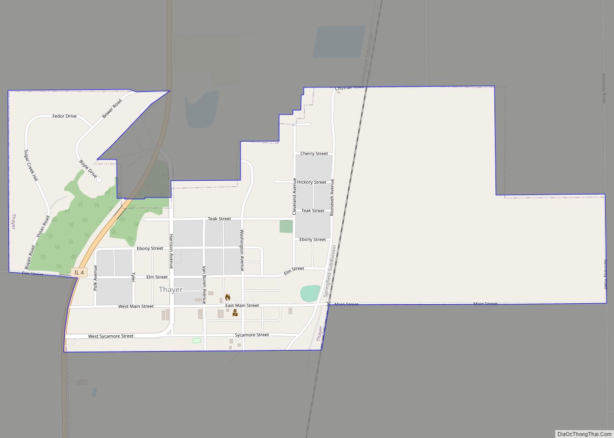
Thayer is a village in Sangamon County, Illinois, United States. The population was 693 at the 2010 census. It is part of the Springfield, Illinois Metropolitan Statistical Area. Thayer village overview: Name: Thayer village LSAD Code: 47 LSAD Description: village (suffix) State: Illinois County: Sangamon County Elevation: 645 ft (197 m) Total Area: 0.61 sq mi (1.58 km²) Land Area: ... Read more
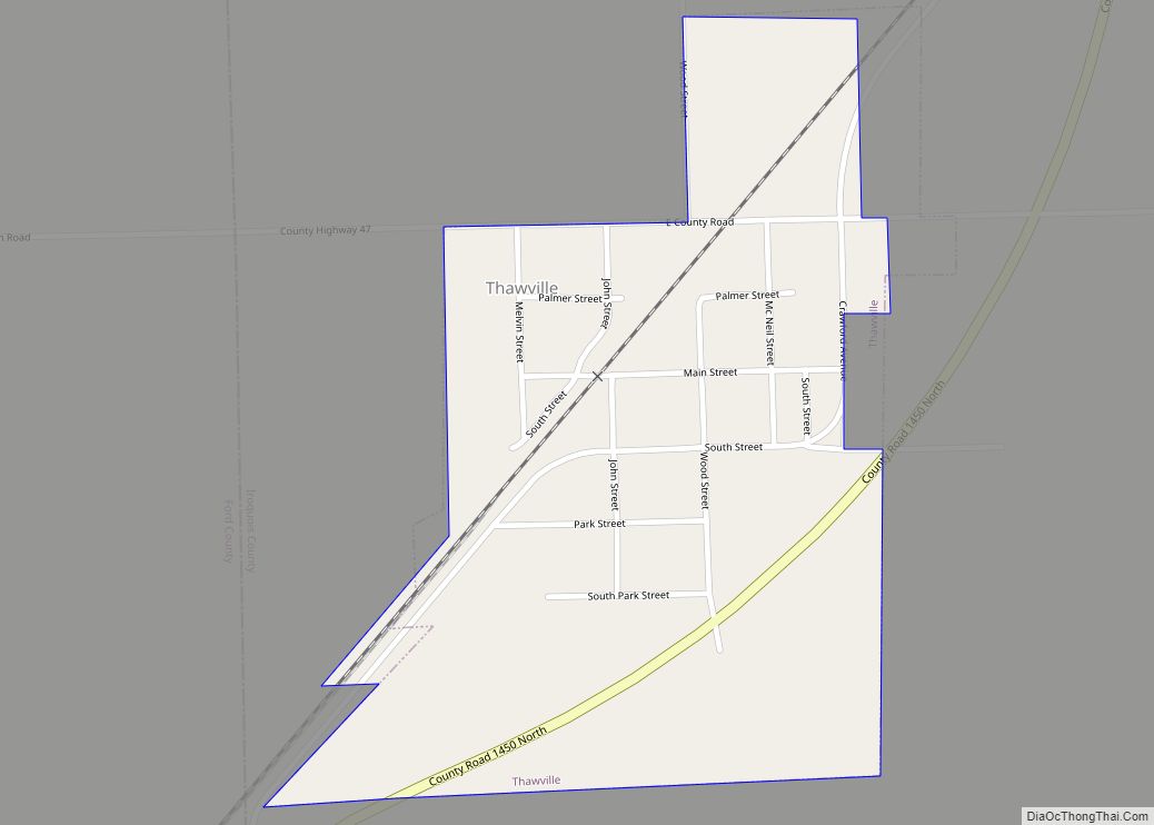
Thawville is a village in Ridgeland Township, Iroquois County, Illinois, United States. The population was 241 at the 2010 census. The town is 100 miles (160 km) south of Chicago. Thawville is named after Pittsburgh railroad magnate William Thaw Sr., who visited the town only once. Thawville village overview: Name: Thawville village LSAD Code: 47 LSAD ... Read more
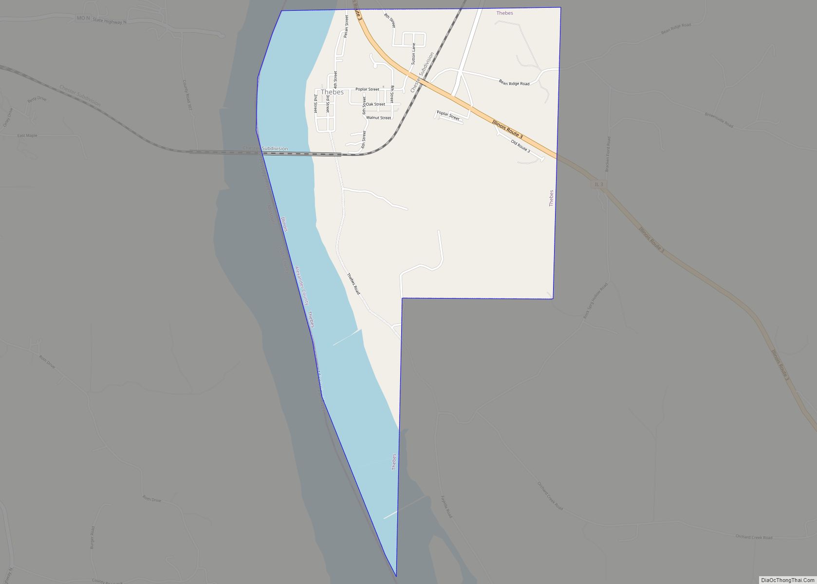
Thebes is a village in and the former county seat of Alexander County, Illinois, United States. The population was 208 at the 2020 census, down from 436 at the 2010 census. It is part of the Cape Girardeau–Jackson, MO-IL Metropolitan Statistical Area. In 1860 the county seat was moved to Cairo, Illinois, at the confluence ... Read more
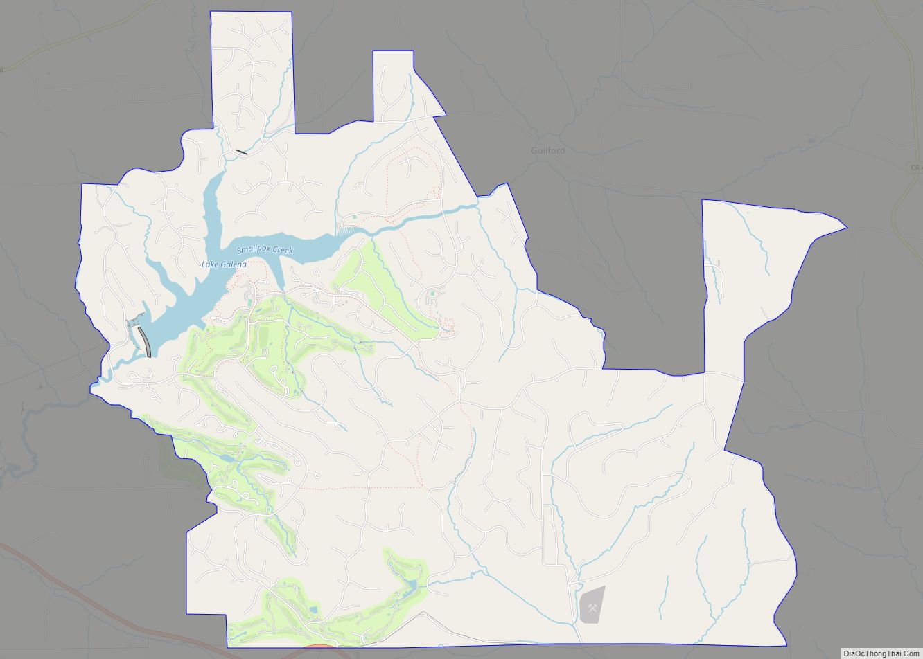
The Galena Territory is a census-designated place in Jo Daviess County, Illinois, United States. Its population was 1,058 as of the 2010 census. The territory was incorporated on July 26, 1973. The community consists of a private 6,800-acre (28 km) development located several miles southeast of downtown Galena. The Territory, which is managed by a homeowners ... Read more
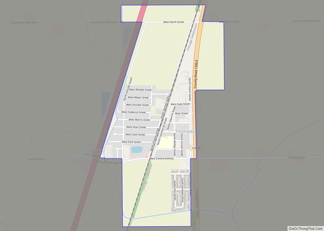
Thomasboro is a village in Champaign County, Illinois, United States. The population was 1,034 at the 2020 census. The village has the name of John Thomas, a pioneer settler. Thomasboro village overview: Name: Thomasboro village LSAD Code: 47 LSAD Description: village (suffix) State: Illinois County: Champaign County Founded: 1864 Total Area: 1.00 sq mi (2.59 km²) Land Area: ... Read more
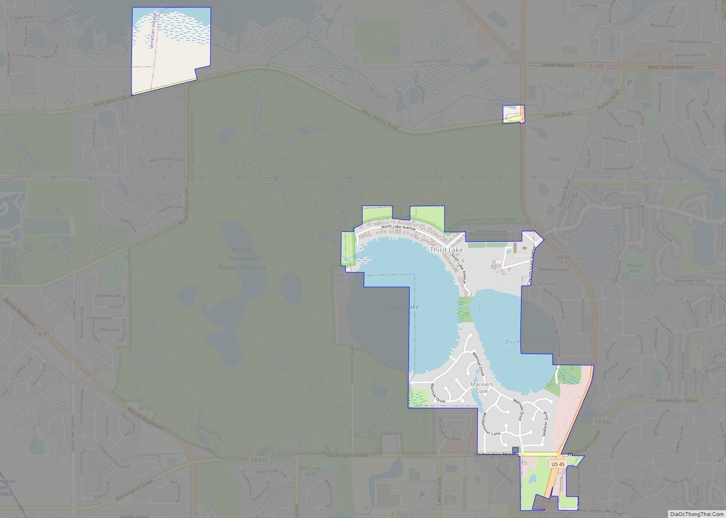
Third Lake is a village in Lake County, Illinois, United States. Per the 2020 census, the population was 1,111. Third Lake village overview: Name: Third Lake village LSAD Code: 47 LSAD Description: village (suffix) State: Illinois County: Lake County Total Area: 0.88 sq mi (2.27 km²) Land Area: 0.59 sq mi (1.52 km²) Water Area: 0.29 sq mi (0.75 km²) Total Population: 1,111 Population ... Read more
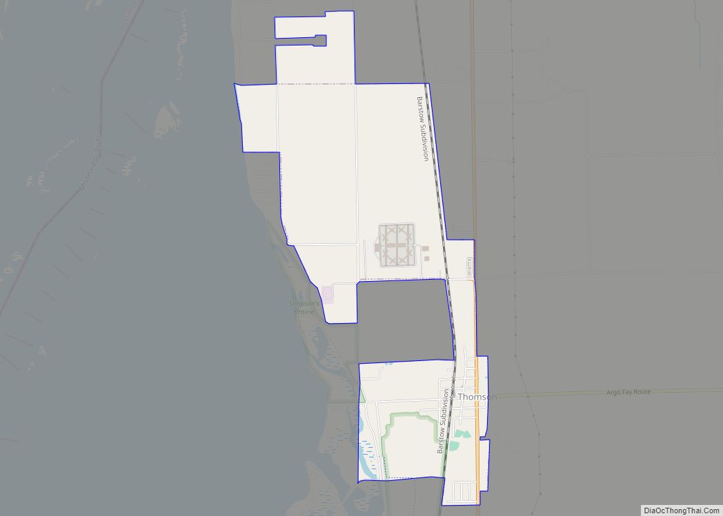
Thomson is a village along Illinois Route 84 near the Mississippi River in Carroll County, Illinois, United States. The population was 590 at the 2010 census, up from 559 at the 2000 census. Just north of the village is the United States Penitentiary, Thomson, a mostly-unused former state prison, purchased by the Federal Bureau of ... Read more
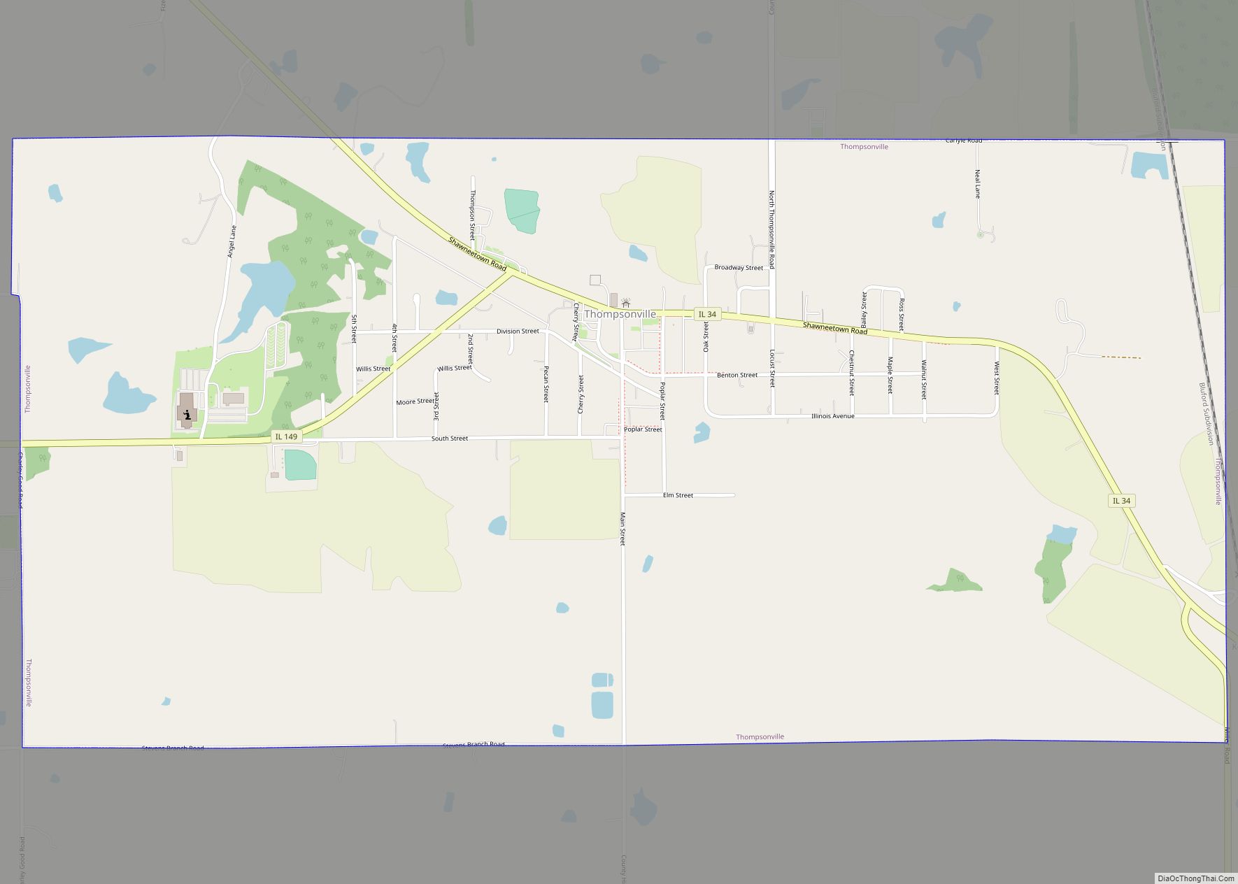
Thompsonville is a village in Cave Township, Franklin County, Illinois, United States. The population was 543 at the 2010 census. Thompsonville village overview: Name: Thompsonville village LSAD Code: 47 LSAD Description: village (suffix) State: Illinois County: Franklin County Elevation: 502 ft (153 m) Total Area: 2.05 sq mi (5.30 km²) Land Area: 2.03 sq mi (5.26 km²) Water Area: 0.02 sq mi (0.04 km²) Total Population: ... Read more
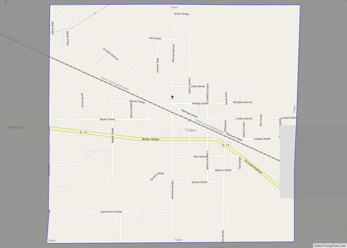
Tilden is a village in Randolph County, Illinois, United States. The population was 934 at the 2010 census. Tilden village overview: Name: Tilden village LSAD Code: 47 LSAD Description: village (suffix) State: Illinois County: Randolph County Elevation: 522 ft (159 m) Total Area: 0.99 sq mi (2.55 km²) Land Area: 0.97 sq mi (2.52 km²) Water Area: 0.01 sq mi (0.03 km²) Total Population: 750 Population ... Read more
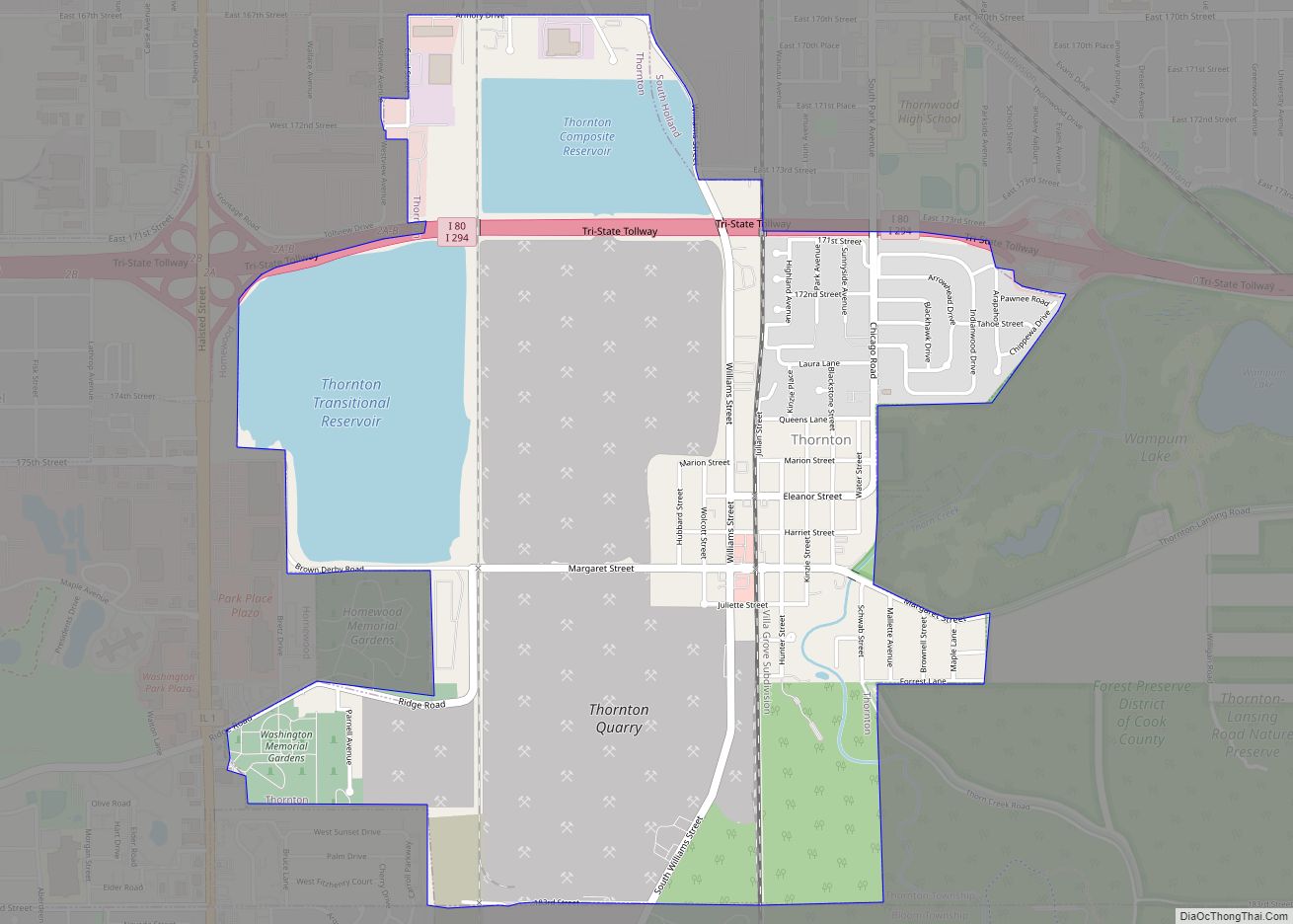
Thornton is a village in Cook County, Illinois, United States and a south suburb of Chicago. The population was 2,386 at the 2020 census. Thornton is home to the Thornton Quarry, one of the largest quarries in the world. Thornton village overview: Name: Thornton village LSAD Code: 47 LSAD Description: village (suffix) State: Illinois County: ... Read more
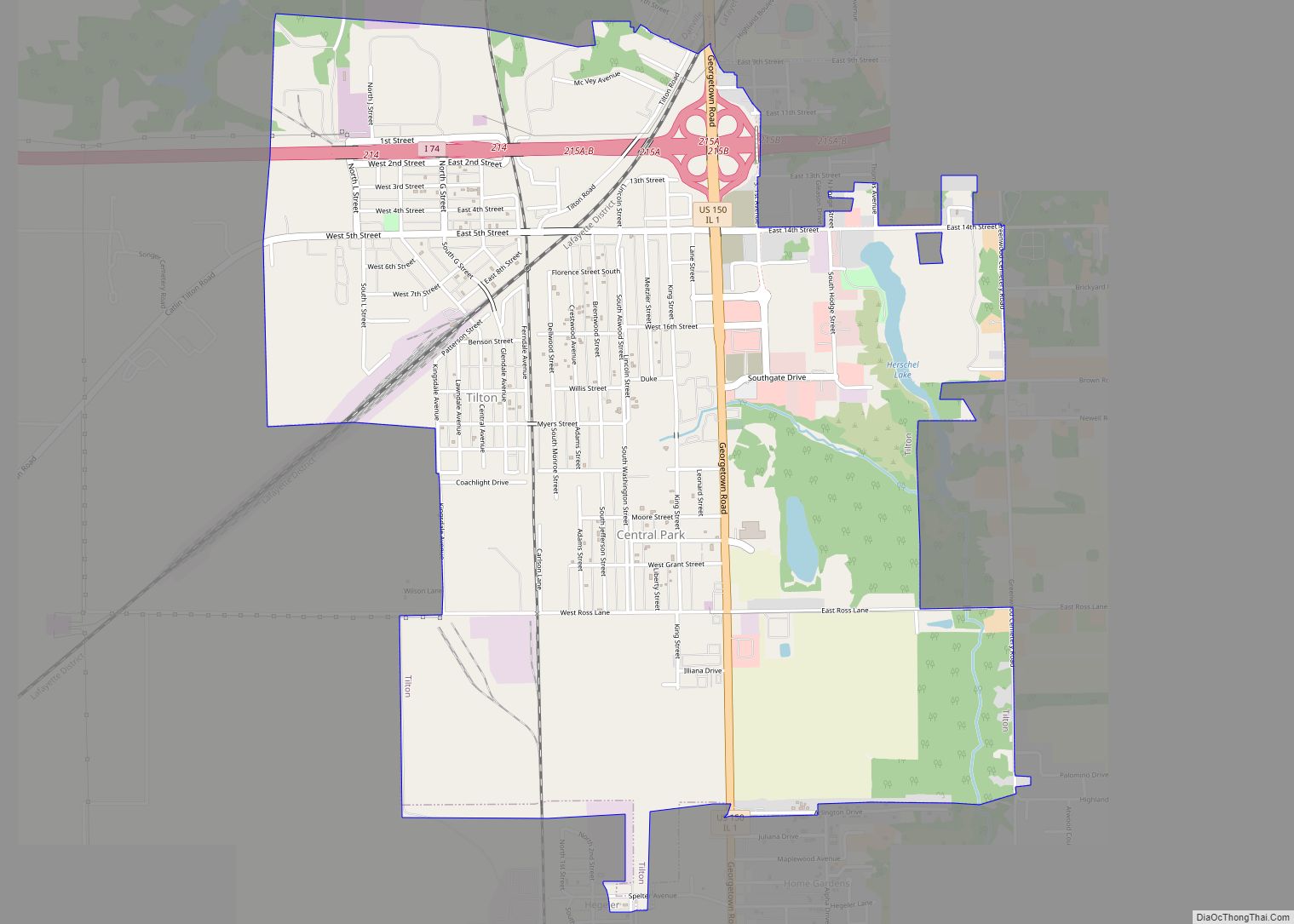
Tilton is a village in Danville Township, Vermilion County, Illinois, United States. It is part of the Danville, Illinois Metropolitan Statistical Area. The population is 3,300 in 2020. It is named after Charles Tilton, a friend of Abraham Lincoln, who worked for the railroads. Lincoln reputedly had Thanksgiving dinner at Tilton’s house in the village ... Read more

