Thompsonville is a village in Cave Township, Franklin County, Illinois, United States. The population was 543 at the 2010 census.
| Name: | Thompsonville village |
|---|---|
| LSAD Code: | 47 |
| LSAD Description: | village (suffix) |
| State: | Illinois |
| County: | Franklin County |
| Elevation: | 502 ft (153 m) |
| Total Area: | 2.05 sq mi (5.30 km²) |
| Land Area: | 2.03 sq mi (5.26 km²) |
| Water Area: | 0.02 sq mi (0.04 km²) |
| Total Population: | 486 |
| Population Density: | 239.29/sq mi (92.40/km²) |
| Area code: | 618 |
| FIPS code: | 1775159 |
| GNISfeature ID: | 419677 |
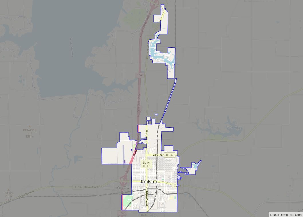
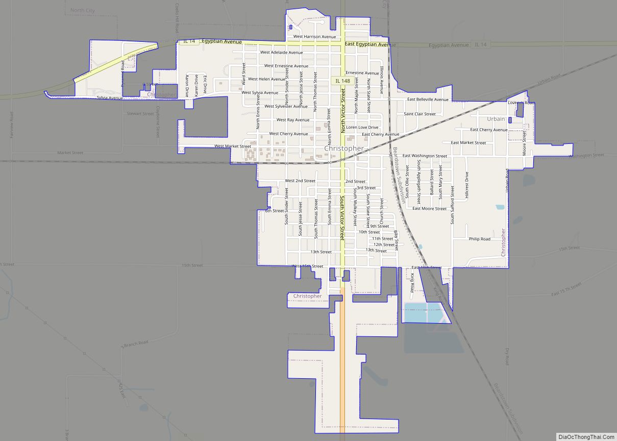
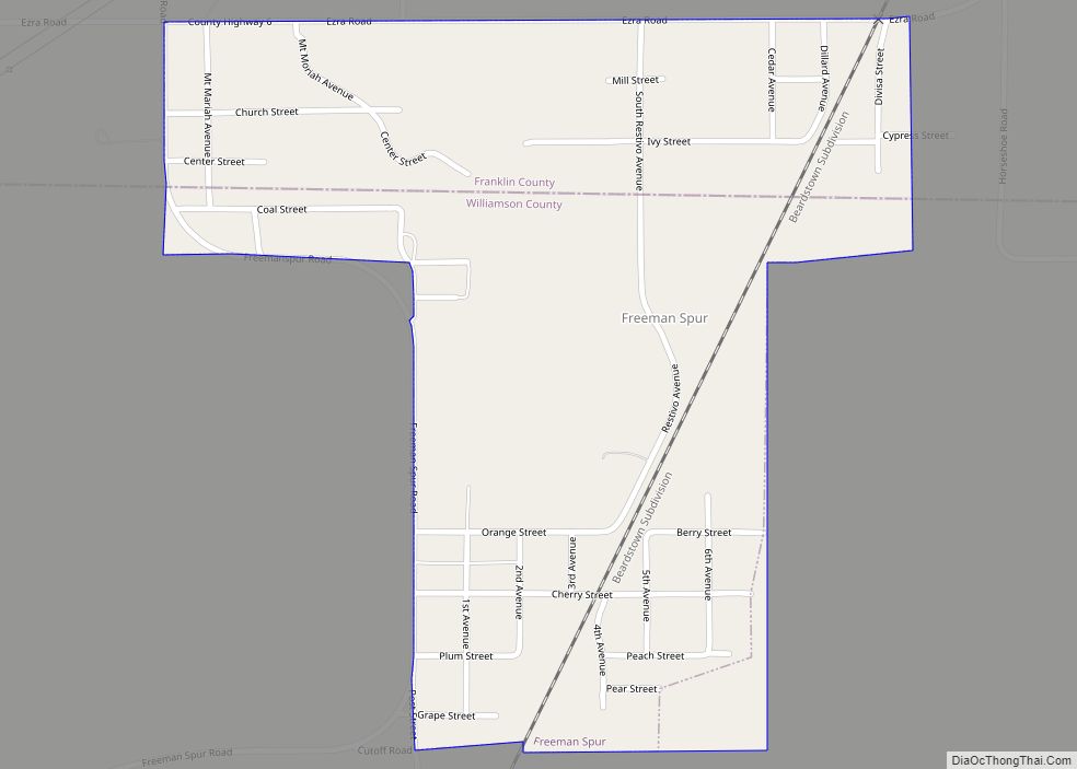
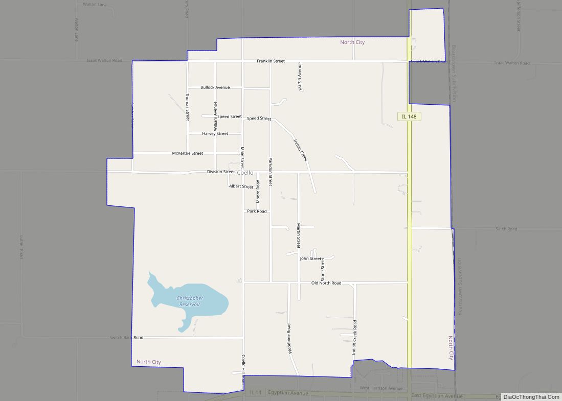
Online Interactive Map
Click on ![]() to view map in "full screen" mode.
to view map in "full screen" mode.
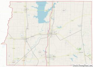
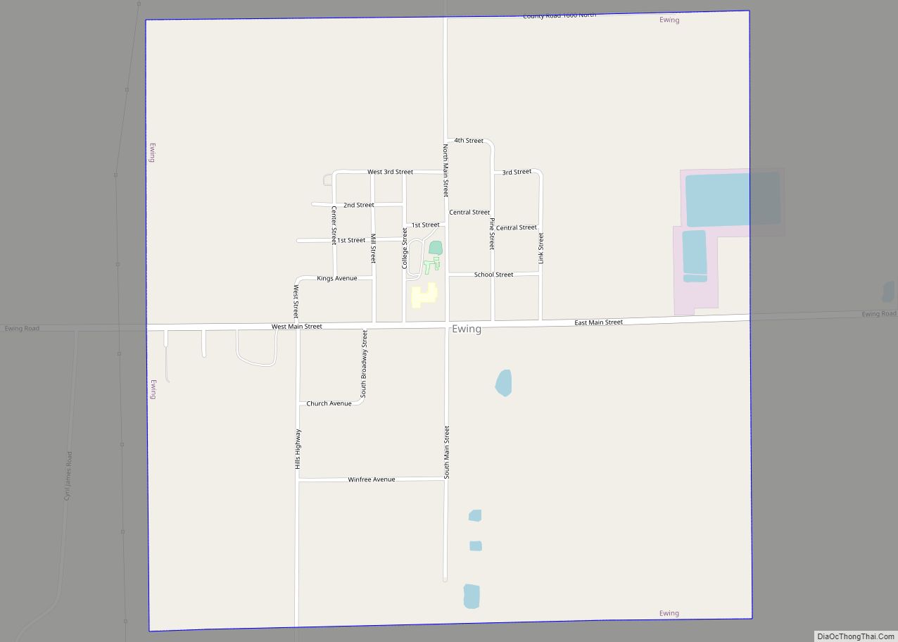
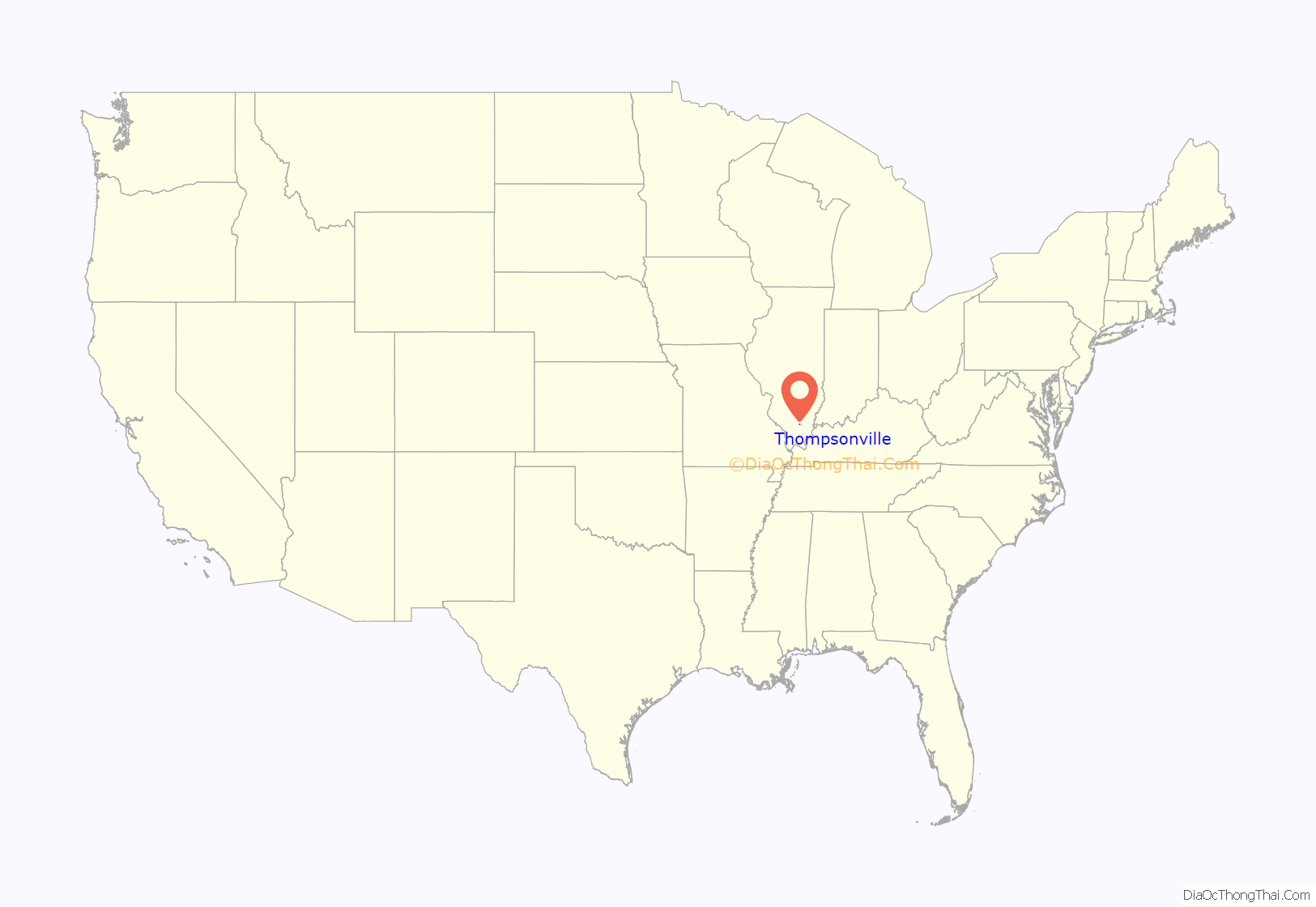
Thompsonville location map. Where is Thompsonville village?
History
There was an early settlement started in the general vicinity called “Jordan’s Settlement”. It was founded in 1811.
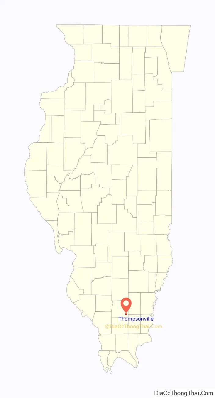
Thompsonville Road Map
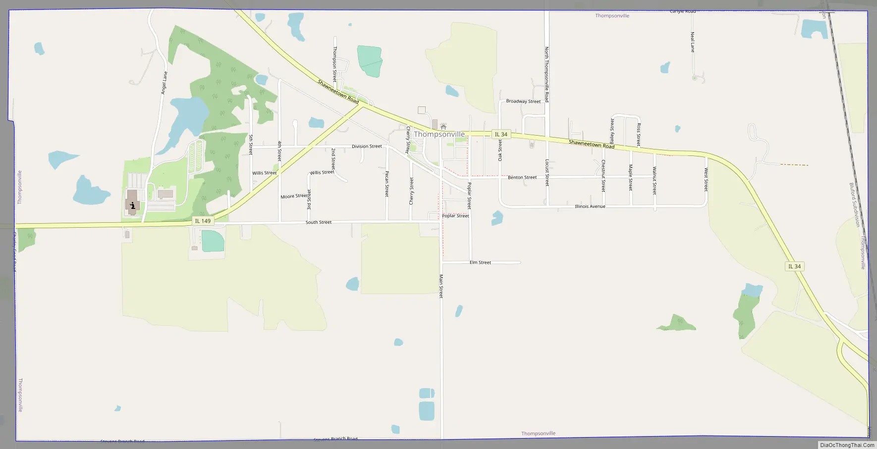
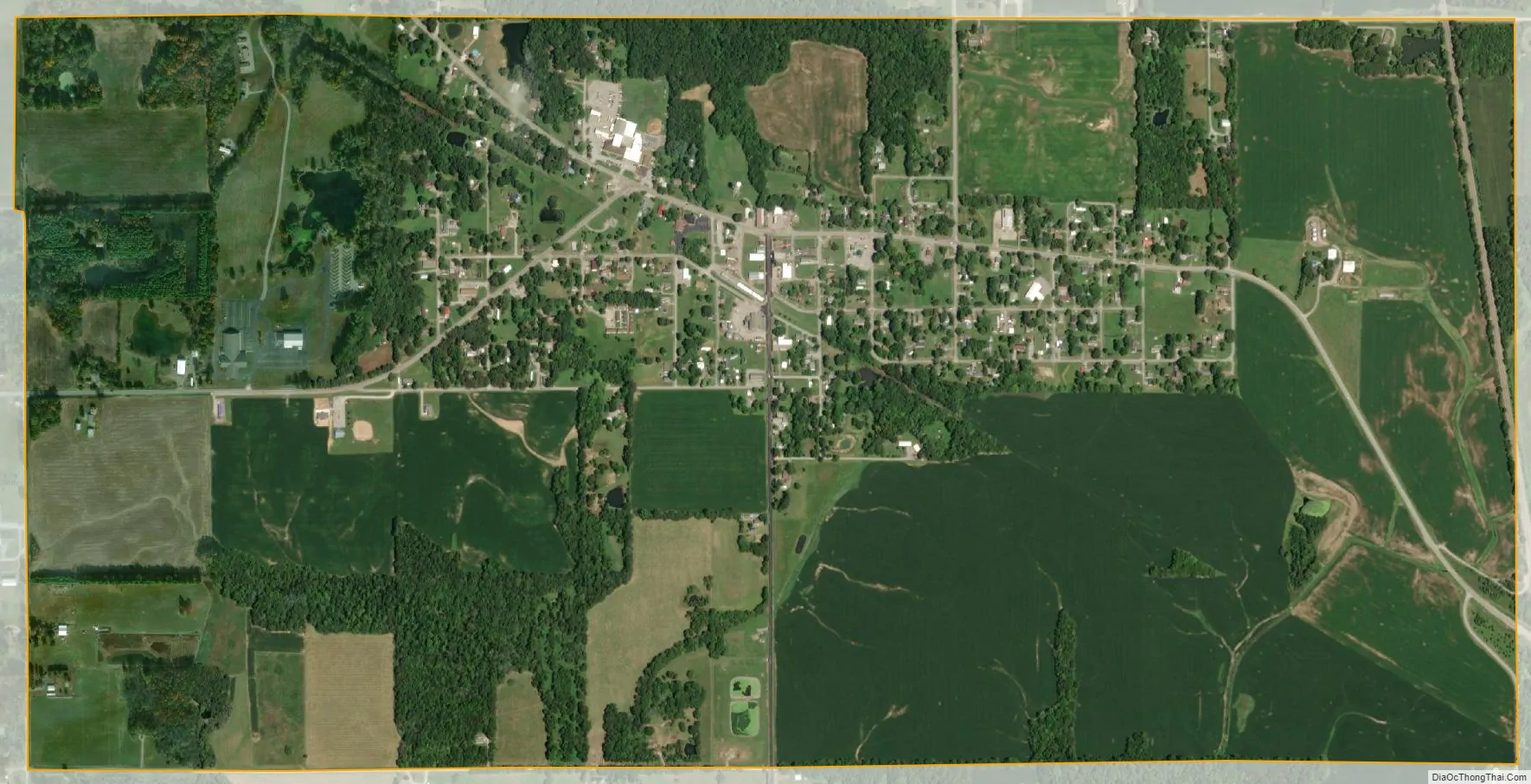
Thompsonville city Satellite Map
Geography
Thompsonville is located in southeastern Franklin County at 37°54′59″N 88°45′42″W / 37.91639°N 88.76167°W / 37.91639; -88.76167 (37.916443, -88.761564). Illinois Route 34 passes through the village, leading northwest 10 miles (16 km) to Benton, the county seat, and southeast 21 miles (34 km) to Harrisburg. Illinois Route 149 leads west from Thompsonville 9 miles (14 km) to West Frankfort.
According to the 2010 census, Thompsonville has a total area of 2.046 square miles (5.30 km), of which 2.03 square miles (5.26 km) (or 99.22%) is land and 0.016 square miles (0.04 km) (or 0.78%) is water.
See also
Map of Illinois State and its subdivision:- Adams
- Alexander
- Bond
- Boone
- Brown
- Bureau
- Calhoun
- Carroll
- Cass
- Champaign
- Christian
- Clark
- Clay
- Clinton
- Coles
- Cook
- Crawford
- Cumberland
- De Kalb
- De Witt
- Douglas
- Dupage
- Edgar
- Edwards
- Effingham
- Fayette
- Ford
- Franklin
- Fulton
- Gallatin
- Greene
- Grundy
- Hamilton
- Hancock
- Hardin
- Henderson
- Henry
- Iroquois
- Jackson
- Jasper
- Jefferson
- Jersey
- Jo Daviess
- Johnson
- Kane
- Kankakee
- Kendall
- Knox
- La Salle
- Lake
- Lake Michigan
- Lawrence
- Lee
- Livingston
- Logan
- Macon
- Macoupin
- Madison
- Marion
- Marshall
- Mason
- Massac
- McDonough
- McHenry
- McLean
- Menard
- Mercer
- Monroe
- Montgomery
- Morgan
- Moultrie
- Ogle
- Peoria
- Perry
- Piatt
- Pike
- Pope
- Pulaski
- Putnam
- Randolph
- Richland
- Rock Island
- Saint Clair
- Saline
- Sangamon
- Schuyler
- Scott
- Shelby
- Stark
- Stephenson
- Tazewell
- Union
- Vermilion
- Wabash
- Warren
- Washington
- Wayne
- White
- Whiteside
- Will
- Williamson
- Winnebago
- Woodford
- Alabama
- Alaska
- Arizona
- Arkansas
- California
- Colorado
- Connecticut
- Delaware
- District of Columbia
- Florida
- Georgia
- Hawaii
- Idaho
- Illinois
- Indiana
- Iowa
- Kansas
- Kentucky
- Louisiana
- Maine
- Maryland
- Massachusetts
- Michigan
- Minnesota
- Mississippi
- Missouri
- Montana
- Nebraska
- Nevada
- New Hampshire
- New Jersey
- New Mexico
- New York
- North Carolina
- North Dakota
- Ohio
- Oklahoma
- Oregon
- Pennsylvania
- Rhode Island
- South Carolina
- South Dakota
- Tennessee
- Texas
- Utah
- Vermont
- Virginia
- Washington
- West Virginia
- Wisconsin
- Wyoming