Map of West City village

Map of West City village

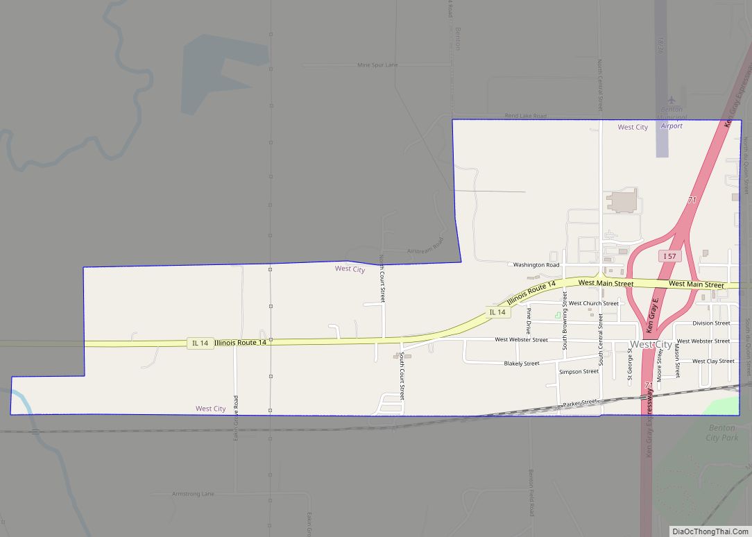
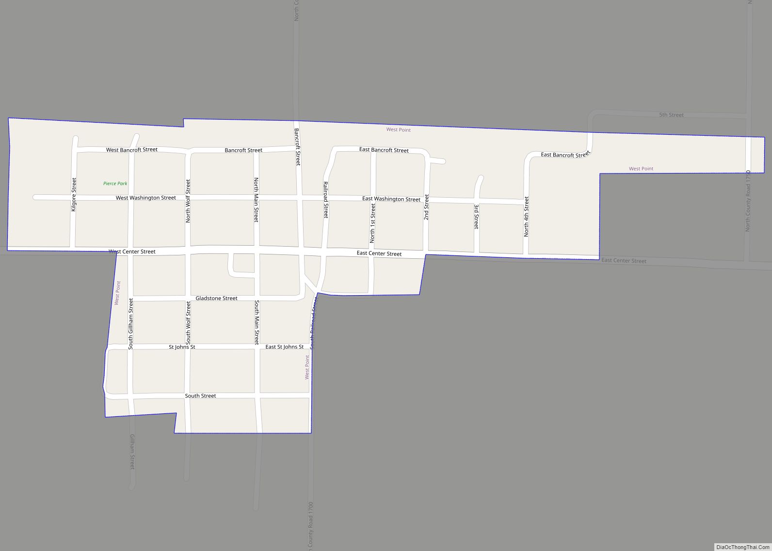
West City is a village in Franklin County, Illinois, adjacent to the county seat of Benton. The population was 661 at the 2010 census. West City village overview: Name: West City village LSAD Code: 47 LSAD Description: village (suffix) State: Illinois County: Franklin County Elevation: 440 ft (130 m) Total Area: 1.63 sq mi (4.21 km²) Land Area: 1.61 sq mi (4.16 km²) … Read more

Map of West Peoria city

Map of West Peoria city

West Peoria is a city in Peoria County, Illinois, United States. The population was 4,458 at the 2010 census. West Peoria is a suburb of Peoria and is part of the Peoria, Illinois Metropolitan Statistical Area. West Peoria city overview: Name: West Peoria city LSAD Code: 25 LSAD Description: city (suffix) State: Illinois County: Peoria … Read more

Map of West Frankfort city

Map of West Frankfort city

West Frankfort is a city in Franklin County, Illinois. The population was 8,182 at the 2010 census. The city is well known for its rich history of coal. The city is part of the Metro Lakeland area. West Frankfort city overview: Name: West Frankfort city LSAD Code: 25 LSAD Description: city (suffix) State: Illinois County: … Read more

Map of West Salem village

Map of West Salem village, Illinois

West Salem is a village in Edwards County, Illinois, United States. The population was 786 at the 2020 census, down from 897 at the 2010 census. West Salem village overview: Name: West Salem village LSAD Code: 47 LSAD Description: village (suffix) State: Illinois County: Edwards County Elevation: 518 ft (158 m) Total Area: 1.56 sq mi (4.04 km²) Land Area: … Read more

Map of West Point village, Illinois

Map of West Point village, Illinois

West Point is a village in Hancock County, Illinois, United States. The population was 178 at the 2010 census. West Point village overview: Name: West Point village LSAD Code: 47 LSAD Description: village (suffix) State: Illinois County: Hancock County Elevation: 669 ft (204 m) Total Area: 0.17 sq mi (0.43 km²) Land Area: 0.17 sq mi (0.43 km²) Water Area: 0.00 sq mi (0.00 km²) Total … Read more

Map of Westchester village, Illinois

Map of Westchester village, Illinois

Westchester is a village in Cook County, Illinois, United States. It is a western suburb of Chicago. The population was 16,892 at the 2020 census. The current Village President is Greg Hribal, serving a two year term following the temporary appointment of Nick Steker as acting president after the death of the previous elected president … Read more

Map of West York CDP

Map of West York CDP, Illinois

West York is an unincorporated census-designated place in Crawford County, Illinois, United States. West York is 4.5 miles (7.2 km) north of Hutsonville. West York has a post office with ZIP code 62478. As of the 2020 census, the population was 74. West York CDP overview: Name: West York CDP LSAD Code: 57 LSAD Description: CDP … Read more

Map of West Union CDP, Illinois

Map of West Union CDP, Illinois

West Union is an unincorporated census-designated place located in York Township in the southeast corner of Clark County, Illinois, on Illinois Route 1. Its postal zip code is 62477. As of the 2020 census, its population was 271. West Union CDP overview: Name: West Union CDP LSAD Code: 57 LSAD Description: CDP (suffix) State: Illinois … Read more

Map of Westfield village, Illinois

Map of Westfield village, Illinois

Westfield is a village in Westfield Township, Clark County, Illinois, United States. The population was 536 at the 2020 census, down from 601 at the 2010 census. Westfield village overview: Name: Westfield village LSAD Code: 47 LSAD Description: village (suffix) State: Illinois County: Clark County Elevation: 764 ft (233 m) Total Area: 0.98 sq mi (2.53 km²) Land Area: 0.98 sq mi … Read more

Map of Westervelt CDP

Map of Westervelt CDP

Westervelt is a census-designated place in Shelby County, Illinois, United States. Its population was 131 as of the 2020 census. Westervelt CDP overview: Name: Westervelt CDP LSAD Code: 57 LSAD Description: CDP (suffix) State: Illinois County: Shelby County Elevation: 650 ft (200 m) Total Area: 0.09 sq mi (0.22 km²) Land Area: 0.09 sq mi (0.22 km²) Water Area: 0.00 sq mi (0.00 km²) Total Population: … Read more

Map of Western Springs village

Map of Western Springs village

Western Springs is a village located in Cook County, Illinois, United States, and is a suburb of Chicago. As of the 2010 census, the village had a total population of 12,975. It is twinned with Rugeley, Staffordshire, United Kingdom. In July 1962, the towns made telephone history on national television when the chairman of Rugeley … Read more

Map of Wheaton city

Map of Wheaton city, Illinois

Wheaton is a city in Milton and Winfield Townships and is the county seat of DuPage County, Illinois. It is located approximately 25 miles (40 km) west of Chicago. As of the 2020 census, Wheaton’s population was 53,970, making it the 27th most populous municipality in Illinois. Wheaton city overview: Name: Wheaton city LSAD Code: 25 … Read more