West Frankfort is a city in Franklin County, Illinois. The population was 8,182 at the 2010 census. The city is well known for its rich history of coal. The city is part of the Metro Lakeland area.
| Name: | West Frankfort city |
|---|---|
| LSAD Code: | 25 |
| LSAD Description: | city (suffix) |
| State: | Illinois |
| County: | Franklin County |
| Founded: | 1810 |
| Elevation: | 404 ft (123 m) |
| Total Area: | 5.02 sq mi (12.99 km²) |
| Land Area: | 4.98 sq mi (12.90 km²) |
| Water Area: | 0.04 sq mi (0.10 km²) |
| Total Population: | 7,275 |
| Population Density: | 1,460.84/sq mi (564.05/km²) |
| Area code: | 618 |
| FIPS code: | 1780333 |
| GNISfeature ID: | 420843 |
| Website: | www.westfrankfort-il.com |
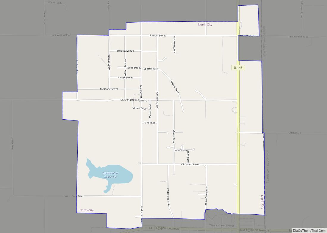
Online Interactive Map
Click on ![]() to view map in "full screen" mode.
to view map in "full screen" mode.
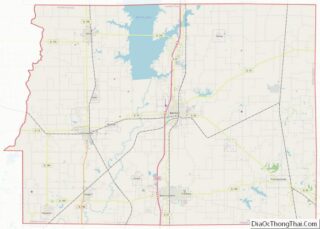
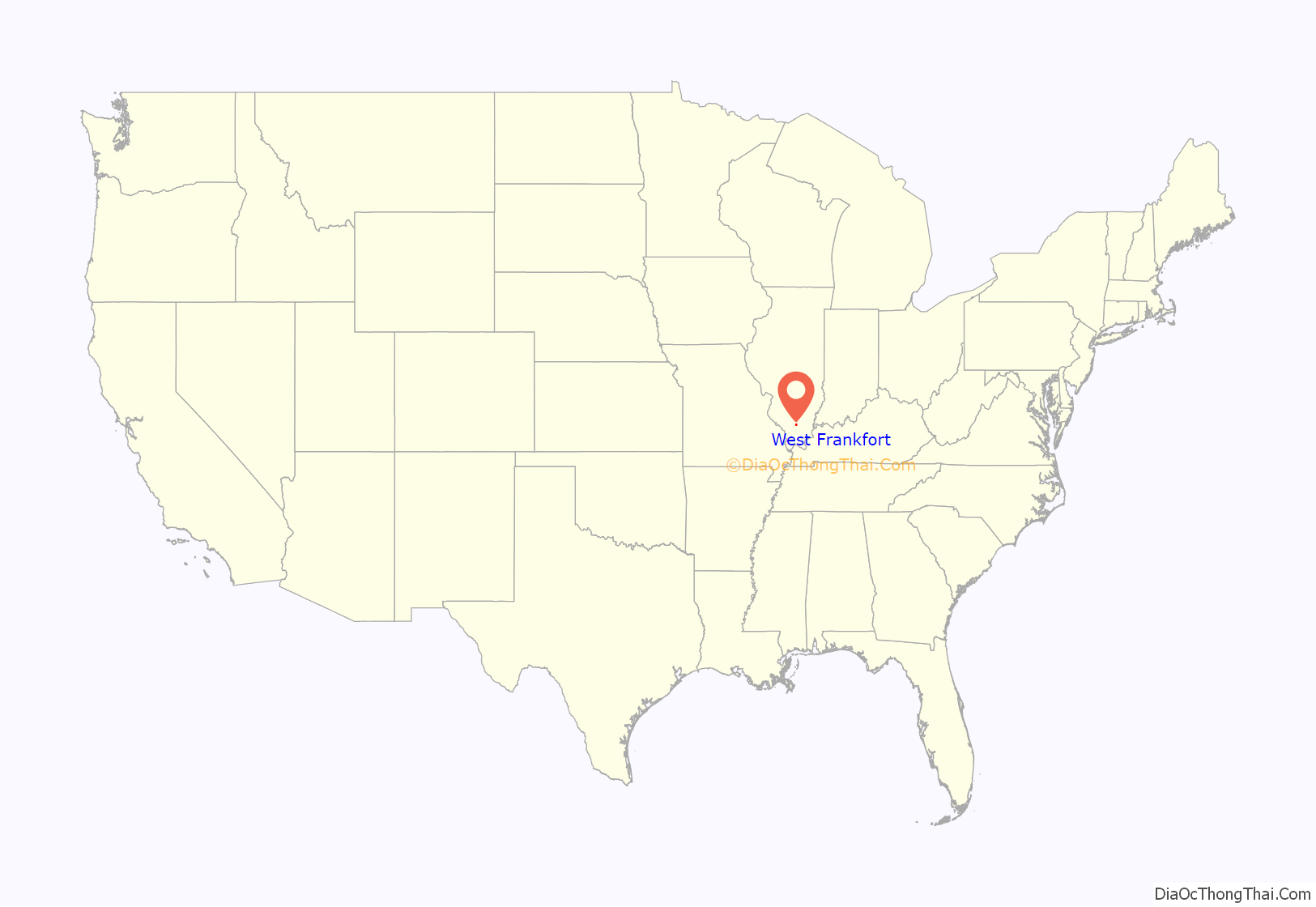
West Frankfort location map. Where is West Frankfort city?
History
Although one might associate the name “West Frankfort” with the city “Frankfurt” in Germany, or Frankfort in Kentucky, the truth is far more local. Around 1810, early Tennessee settler Francis (“Frank”) Jordan and his seven brothers began the construction of no fort atop a hill in present-day Franklin County. Completed in 1811, the fort was named “Frank’s Fort,” in Jordan’s honor.
Frank’s Fort was built in today’s Williamson County, Ill., near Corinth. A few miles to the east, Francis’ brother, Thomas Jordan, built “Jordan’s Fort” in Cave Township, Franklin County, Ill., near the town of Thompsonville.
The construction of these forts was in response to the danger of attack during Tecumseh’s War, which culminated in the Battle of Tippecanoe in 1811. Then-governor of the Illinois Territory, Ninian Edwards, actively encouraged the construction of these forts and offered the services of the Saline Militia in their erection. Thus, both Jordan family forts were built with the help of the Illinois Militia for safety of the civilians.
Since the Shawnee Trail, an important trading route linking Kaskaskia, Illinois and Old Shawneetown, Illinois, ran along the high ground in the vicinity of the fort, this area became an attractive destination for settlers in search of cheap land made available by the recently passed Bit Act of 1850. The resulting settlement took the name of the nearby fort, which was subsequently shortened to “Frankfort.” Frankfort grew quickly during this period, with its population rivaling that of Chicago, at the time.
Frankfort was Franklin County’s first county seat until 1839, when the lower half of the county was declared as Williamson County.
After railroad tracks linking Chicago, Paducah, and Memphis, were laid 4 miles (6 km) west of Frankfort, many businesses and residents migrated to the new commercial center forming near the tracks. This new community became known as West Frankfort, for its location to the west of Frankfort. The two cities eventually merged and retained the name West Frankfort.
The area of West Frankfort formerly known as Frankfort is still sometimes referred to locally as Frankfort Heights or, more commonly, simply as “The Heights”, due to its higher elevation relative to the rest of the city. A post office was maintained in Frankfort Heights until its destruction by fire in 2004, making West Frankfort one of the smallest cities in the United States to have two ZIP codes (the other zip code is designated as “Frankfort Heights, Illinois”).
Beginning in 1904, the Deering Coal Mine Company took Franklin County and West Frankfort from no coal production in 1900 to being the #1 coal producer in Illinois by 1917. Once the mines opened, the population increased 3,500 in seven years. By 1927, West Frankfort’s population had reached 19,896. In the late 1940s, four theatres and a minor league baseball team (see below) marked the downtown area.
Tri-State Tornado of 1925
1929 coal mine explosion
On December 1, 1929, an explosion at the Old Ben Coal Company’s Old Ben No. 8 Mine killed 7 people.
1947 coal mine explosion
The Old Ben No. 8 Mine exploded again on July 24, 1947, killing 27 people.
West Frankfort Cardinals
The West Frankfort Cardinals were a minor-league baseball team from 1947 to 1950, serving as a Class D affiliate of the St. Louis Cardinals.
1951 coal mine explosion
The Orient No. 2 coal mine exploded on December 21, 1951, killing 119 men. The mine, located outside of West Frankfort, was one of the area’s major employers. According to lifelong residents, everyone in West Frankfort was affected by this tragedy, including grade schoolers of the time who remember their own losses or the suffering of classmates. Many residents had even said they could never celebrate Christmas again. After the catastrophe, the West Frankfort Junior High School became a temporary morgue for identification of the bodies, with many calls going out for funeral directors. The explosion received national attention from the wire services, newspapers and Life Magazine. Illinois Governor Adlai Stevenson visited the site to support those mourning. The United States Bureau of Mines called the explosion “avoidable,” with the disaster resulting in Congress passing the Federal Coal Mine Safety Act of 1952. In 2020, after years of planning and funding, locals unveiled a new $40,000 memorial monument in Coal Miners Memorial Park, which reads the names of all 119 men killed in the disaster.
Eclipse crossroads of America
The area was in totality during the solar eclipse of August 21, 2017, with Giant City State Park, approximately 25 miles (40 km) to the southwest, experiencing the longest period of totality during the eclipse (approximately 2 minutes and 40 seconds). It will also be within the path of totality of the solar eclipse of April 8, 2024, making it one of only a handful of cities within the direct paths of both eclipses.
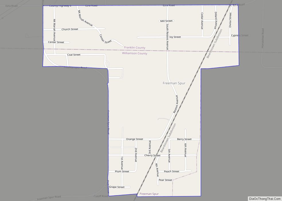
West Frankfort Road Map
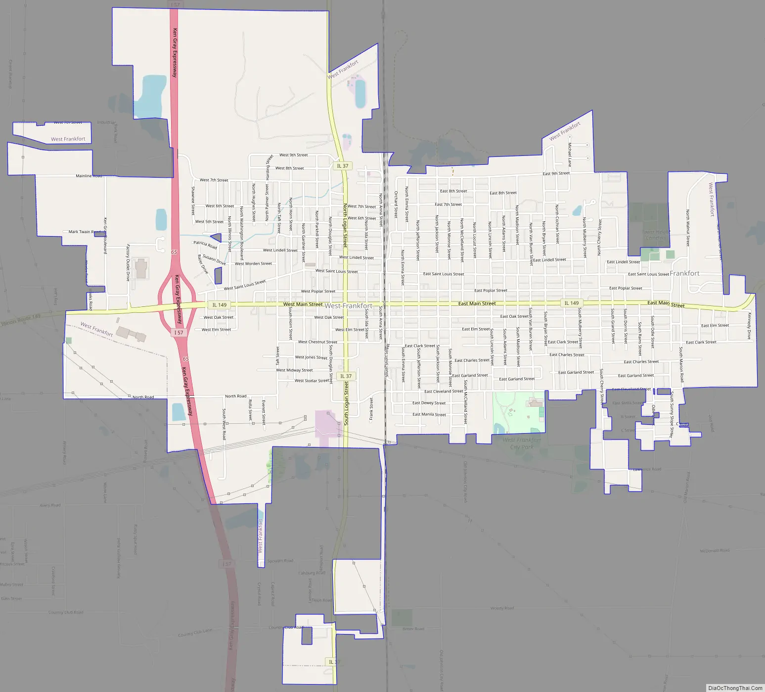
West Frankfort city Satellite Map

Geography
West Frankfort is located at 37°53′55″N 88°55′24″W / 37.89861°N 88.92333°W / 37.89861; -88.92333 (37.898545, -88.923315).
According to the 2010 census, West Frankfort has a total area of 5.011 square miles (12.98 km), of which 4.97 square miles (12.87 km) (or 99.18%) is land and 0.041 square miles (0.11 km) (or 0.82%) is water.
See also
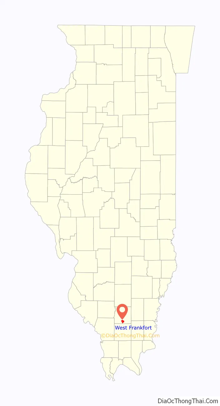
Map of Illinois State and its subdivision:- Adams
- Alexander
- Bond
- Boone
- Brown
- Bureau
- Calhoun
- Carroll
- Cass
- Champaign
- Christian
- Clark
- Clay
- Clinton
- Coles
- Cook
- Crawford
- Cumberland
- De Kalb
- De Witt
- Douglas
- Dupage
- Edgar
- Edwards
- Effingham
- Fayette
- Ford
- Franklin
- Fulton
- Gallatin
- Greene
- Grundy
- Hamilton
- Hancock
- Hardin
- Henderson
- Henry
- Iroquois
- Jackson
- Jasper
- Jefferson
- Jersey
- Jo Daviess
- Johnson
- Kane
- Kankakee
- Kendall
- Knox
- La Salle
- Lake
- Lake Michigan
- Lawrence
- Lee
- Livingston
- Logan
- Macon
- Macoupin
- Madison
- Marion
- Marshall
- Mason
- Massac
- McDonough
- McHenry
- McLean
- Menard
- Mercer
- Monroe
- Montgomery
- Morgan
- Moultrie
- Ogle
- Peoria
- Perry
- Piatt
- Pike
- Pope
- Pulaski
- Putnam
- Randolph
- Richland
- Rock Island
- Saint Clair
- Saline
- Sangamon
- Schuyler
- Scott
- Shelby
- Stark
- Stephenson
- Tazewell
- Union
- Vermilion
- Wabash
- Warren
- Washington
- Wayne
- White
- Whiteside
- Will
- Williamson
- Winnebago
- Woodford
- Alabama
- Alaska
- Arizona
- Arkansas
- California
- Colorado
- Connecticut
- Delaware
- District of Columbia
- Florida
- Georgia
- Hawaii
- Idaho
- Illinois
- Indiana
- Iowa
- Kansas
- Kentucky
- Louisiana
- Maine
- Maryland
- Massachusetts
- Michigan
- Minnesota
- Mississippi
- Missouri
- Montana
- Nebraska
- Nevada
- New Hampshire
- New Jersey
- New Mexico
- New York
- North Carolina
- North Dakota
- Ohio
- Oklahoma
- Oregon
- Pennsylvania
- Rhode Island
- South Carolina
- South Dakota
- Tennessee
- Texas
- Utah
- Vermont
- Virginia
- Washington
- West Virginia
- Wisconsin
- Wyoming