Wheaton is a city in Milton and Winfield Townships and is the county seat of DuPage County, Illinois. It is located approximately 25 miles (40 km) west of Chicago. As of the 2020 census, Wheaton’s population was 53,970, making it the 27th most populous municipality in Illinois.
| Name: | Wheaton city |
|---|---|
| LSAD Code: | 25 |
| LSAD Description: | city (suffix) |
| State: | Illinois |
| County: | DuPage County |
| Incorporated: | February 24, 1859 (village) April 24, 1890 (city) |
| Elevation: | 748 ft (228 m) |
| Total Area: | 11.48 sq mi (29.75 km²) |
| Land Area: | 11.32 sq mi (29.31 km²) |
| Water Area: | 0.17 sq mi (0.43 km²) |
| Total Population: | 53,970 |
| Population Density: | 4,768.51/sq mi (1,841.19/km²) |
| ZIP code: | 60187, 60189 |
| FIPS code: | 1781048 |
| GNISfeature ID: | 2397294 |
| Website: | www.wheaton.il.us |
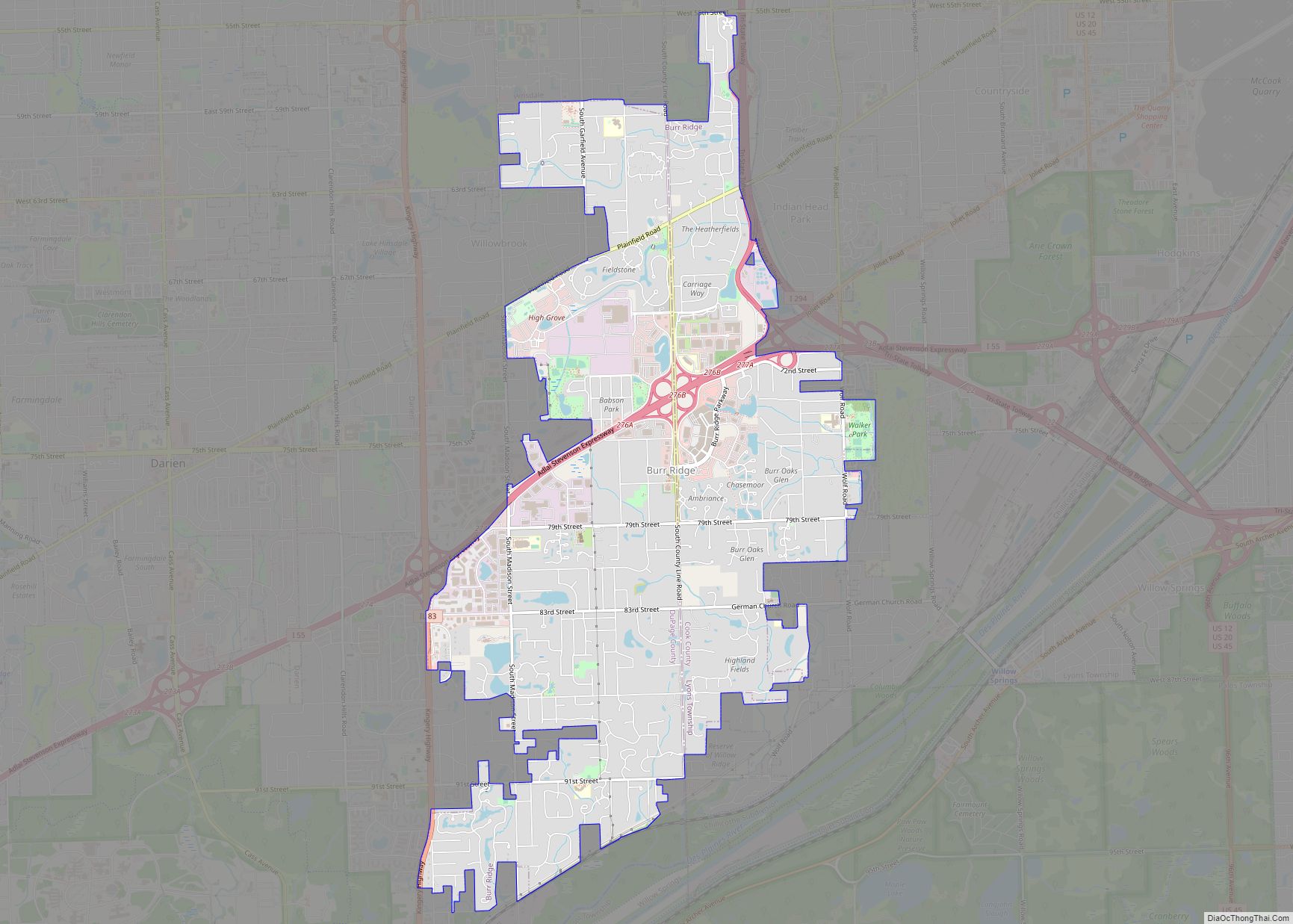
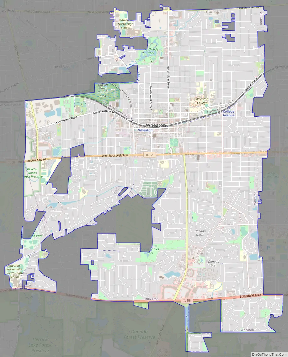
Online Interactive Map
Click on ![]() to view map in "full screen" mode.
to view map in "full screen" mode.
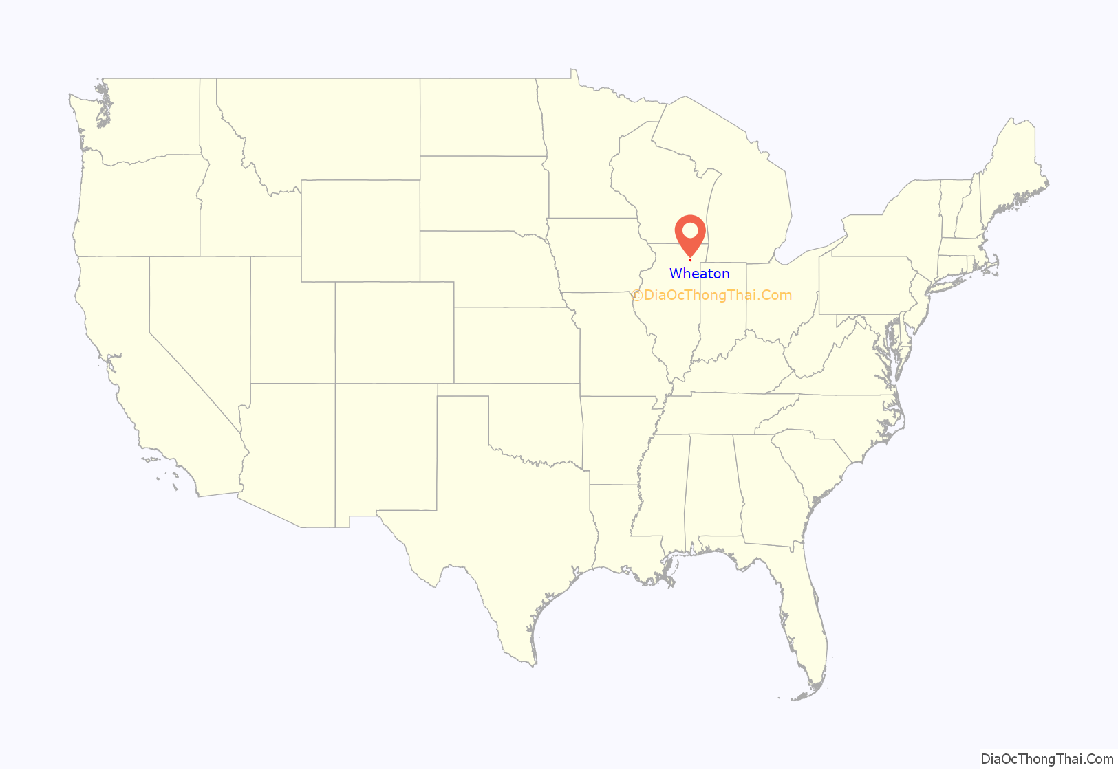
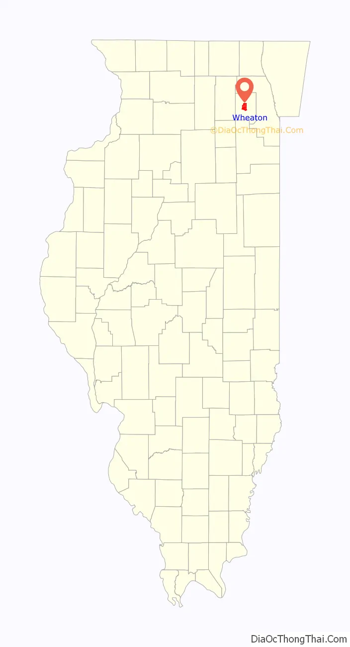
Wheaton location map. Where is Wheaton city?
History
Founding
The city dates its founding to the period between 1831 and 1837, following the Indian Removal Act, when Erastus Gary laid claim to 790 acres (320 ha) of land near present-day Warrenville. The Wheaton brothers arrived from Connecticut, and in 1837, Warren L. Wheaton laid claim to 640 acres (260 ha) of land in the center of town. Jesse Wheaton later made claim to 300 acres (120 ha) of land just west of Warren’s. It was not long before other settlers from New England joined them in the community. In 1848, they gave the Galena and Chicago Union Railroad three miles (5 km) of right-of-way, upon which railroad officials named the depot Wheaton. In 1850, ten blocks of land were platted and anyone who was willing to build immediately was granted free land. In 1853, the lots were surveyed and a formal plat for the community was filed with the county. The community was then incorporated as a village on February 24, 1859, with Warren serving as its first President. The village was later incorporated as a city on April 24, 1890, when the first mayor of the city was selected, Judge Elbert Gary, son of Erastus Gary and founder of Gary, Indiana.
Establishment as county seat
In 1857, the Illinois state legislature authorized an election to be held to decide the question of whether the DuPage county seat should remain in Naperville or be moved to the more centrally located Wheaton, which was on the Galena and Chicago Union Railroad. Naperville won the election by a vote of 1,542 to 762. Hostility between the two towns continued for the next decade and another election was held in 1867, in which Wheaton narrowly won by a vote of 1,686 to 1,635. At a cost of $20,000, the City of Wheaton quickly built a courthouse to house a courtroom, county offices, and a county jail. The building was dedicated on July 4, 1868.
However, animosity between the two towns continued, and in 1868, as records were moved from the old Naperville courthouse to the new courthouse in Wheaton, Naperville refused to turn over the remaining county records, prompting a band of Civil War veterans from Wheaton to conduct what came to be known as the “Midnight Raid” on the Naperville courthouse. As Wheatonites fled back on Wheaton-Naperville Road, Napervillians were able to secure some of the last remaining records, which were then taken to the Cook County Recorder in Chicago for safekeeping. During this time, Naperville was mounting a lawsuit against Wheaton accusing election judges of leaving their posts for lunch during the vote when duplicate ballot stuffing allegedly occurred. As the courts deliberated the fate of the county seat, the records were destroyed in the Great Chicago Fire of 1871. Shortly thereafter, Wheaton was officially proclaimed the county seat.
As demand for space increased, the courthouse was rebuilt in 1887 at a cost of $69,390, modeled after the courthouse in Aledo. This structure was used for the next 94 years until the county’s rapid growth prompted the building of a brand new complex. The old courthouse is listed on the National Register of Historic Places, and was formerly used by National Louis University until National Louis moved to Lisle in 2004. It is currently being developed into luxury condominiums.
On November 2, 1990, the courthouse moved to a building about two miles (3 km) west in a new 57-acre (230,000 m) complex at the corner of County Farm Road and Manchester Road. It was built at a cost of $52,500,000 and includes a 300,000-square-foot (30,000 m) judicial building. In 1992, the county sued the architect and contractor for $4 million after several employees became ill from the ventilation system. In the end, however, the county received only $120,000 for minor repairs and the jury sided with the defendants, finding that the alleged problems were caused, primarily, by the county’s negligent operation and maintenance of the ventilation system.
Expansion
Wheaton has rapidly expanded since the 1950s, although population growth has slowed since the early 1990s, as the city has become increasingly landlocked. Downtown lost much business after the county courthouse facility moved two miles (3 km) west in 1990, but in the decade since, the downtown has seen a renaissance of sorts, with the creation of several significant condominium and business developments. One of the most recognizable landmarks of the city is Wheaton Center, a 758-unit apartment complex on 14 acres (57,000 m) in downtown Wheaton. The six building complex includes two twenty-story high-rise buildings built in 1975.
In 1887, Wheaton prohibited the sale of alcoholic beverages, a ban which lasted until 1985 and applied to all supermarkets, convenience stores, restaurants, and other establishments.
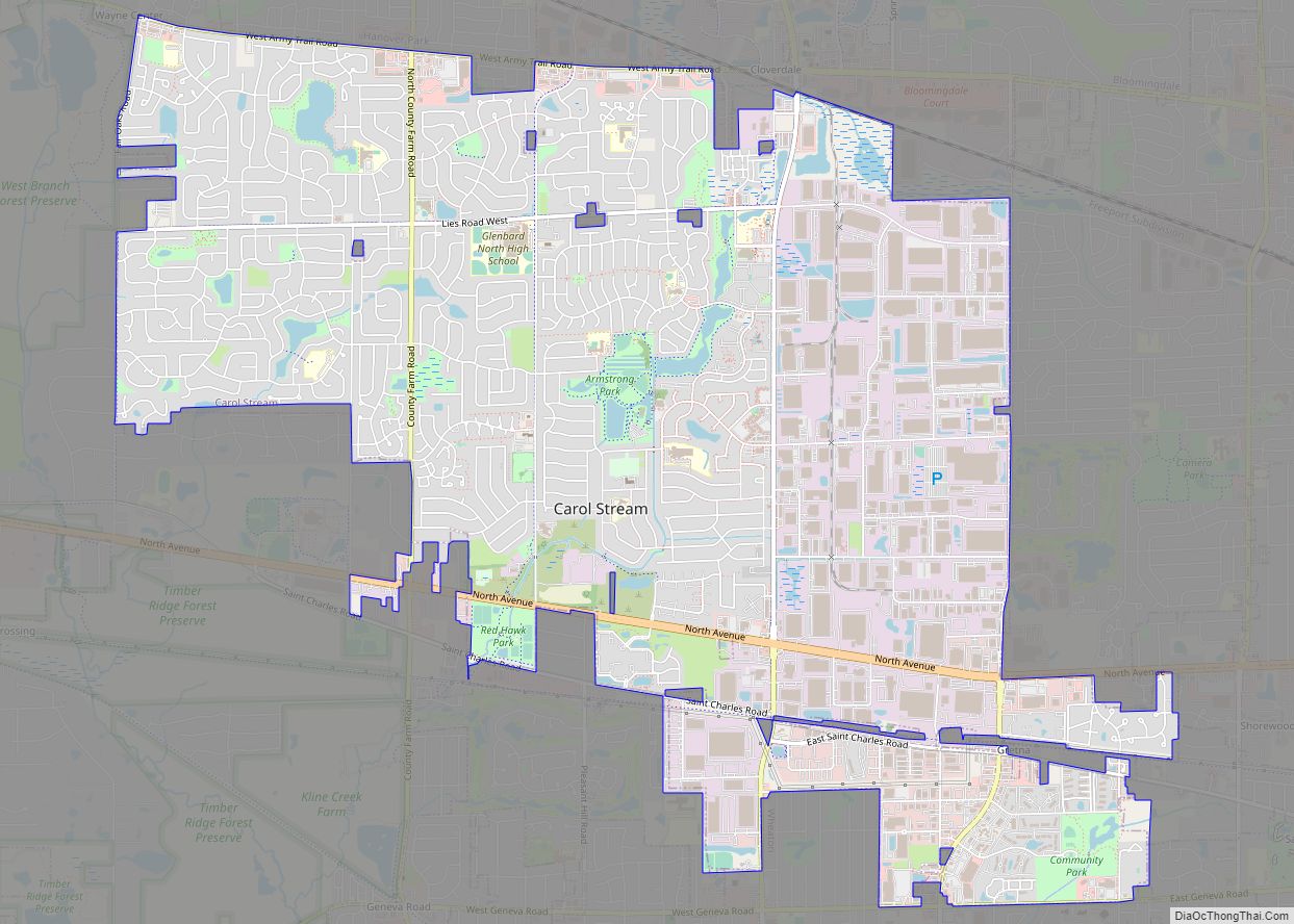
Wheaton Road Map
Wheaton city Satellite Map

Geography
Wheaton is located at 41°51′22″N 88°06′30″W / 41.85611°N 88.10833°W / 41.85611; -88.10833 (41.8560218, −88.1083010).
According to the 2021 census gazetteer files, Wheaton has a total area of 11.49 square miles (29.76 km), of which 11.32 square miles (29.32 km) (or 98.55%) is land and 0.17 square miles (0.44 km) (or 1.45%) is water.
Wheaton is the sister city of Karlskoga, Sweden. Karlskoga Street, located along the southern edge of Memorial Park in downtown Wheaton, is named after the Swedish City.
See also
Map of Illinois State and its subdivision:- Adams
- Alexander
- Bond
- Boone
- Brown
- Bureau
- Calhoun
- Carroll
- Cass
- Champaign
- Christian
- Clark
- Clay
- Clinton
- Coles
- Cook
- Crawford
- Cumberland
- De Kalb
- De Witt
- Douglas
- Dupage
- Edgar
- Edwards
- Effingham
- Fayette
- Ford
- Franklin
- Fulton
- Gallatin
- Greene
- Grundy
- Hamilton
- Hancock
- Hardin
- Henderson
- Henry
- Iroquois
- Jackson
- Jasper
- Jefferson
- Jersey
- Jo Daviess
- Johnson
- Kane
- Kankakee
- Kendall
- Knox
- La Salle
- Lake
- Lake Michigan
- Lawrence
- Lee
- Livingston
- Logan
- Macon
- Macoupin
- Madison
- Marion
- Marshall
- Mason
- Massac
- McDonough
- McHenry
- McLean
- Menard
- Mercer
- Monroe
- Montgomery
- Morgan
- Moultrie
- Ogle
- Peoria
- Perry
- Piatt
- Pike
- Pope
- Pulaski
- Putnam
- Randolph
- Richland
- Rock Island
- Saint Clair
- Saline
- Sangamon
- Schuyler
- Scott
- Shelby
- Stark
- Stephenson
- Tazewell
- Union
- Vermilion
- Wabash
- Warren
- Washington
- Wayne
- White
- Whiteside
- Will
- Williamson
- Winnebago
- Woodford
- Alabama
- Alaska
- Arizona
- Arkansas
- California
- Colorado
- Connecticut
- Delaware
- District of Columbia
- Florida
- Georgia
- Hawaii
- Idaho
- Illinois
- Indiana
- Iowa
- Kansas
- Kentucky
- Louisiana
- Maine
- Maryland
- Massachusetts
- Michigan
- Minnesota
- Mississippi
- Missouri
- Montana
- Nebraska
- Nevada
- New Hampshire
- New Jersey
- New Mexico
- New York
- North Carolina
- North Dakota
- Ohio
- Oklahoma
- Oregon
- Pennsylvania
- Rhode Island
- South Carolina
- South Dakota
- Tennessee
- Texas
- Utah
- Vermont
- Virginia
- Washington
- West Virginia
- Wisconsin
- Wyoming