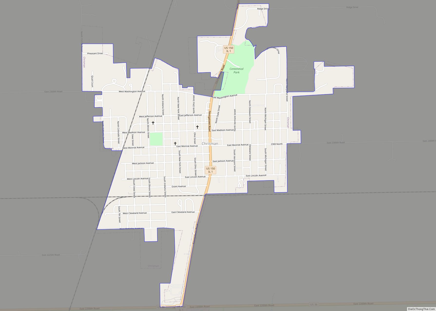
Chrisman is a city in Ross Township, Edgar County, Illinois, United States. The population was 1,312 at the 2020 census. Chrisman city overview: Name: Chrisman city LSAD Code: 25 LSAD Description: city (suffix) State: Illinois County: Edgar County Elevation: 643 ft (196 m) Total Area: 0.72 sq mi (1.86 km²) Land Area: 0.72 sq mi (1.86 km²) Water Area: 0.00 sq mi (0.00 km²) Total Population: ... Read more
Illinois Cities and Places
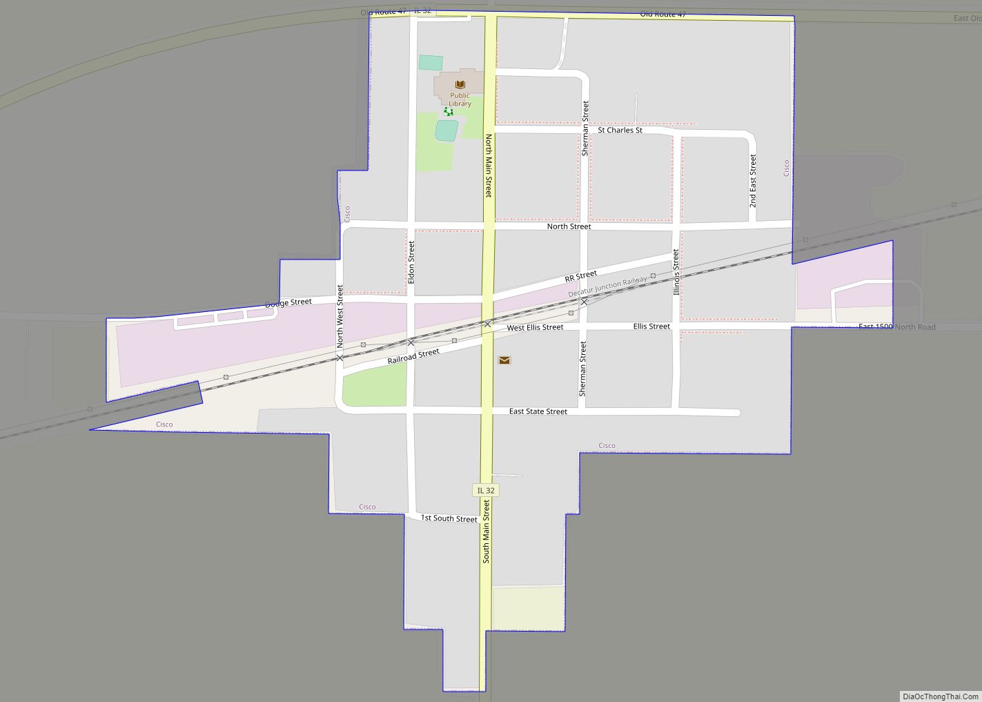
Cisco is a village in Piatt County, Illinois, United States. The population was 264 at the 2000 census. Cisco village overview: Name: Cisco village LSAD Code: 47 LSAD Description: village (suffix) State: Illinois County: Piatt County Elevation: 689 ft (210 m) Total Area: 0.18 sq mi (0.47 km²) Land Area: 0.18 sq mi (0.47 km²) Water Area: 0.00 sq mi (0.00 km²) Total Population: 254 Population ... Read more
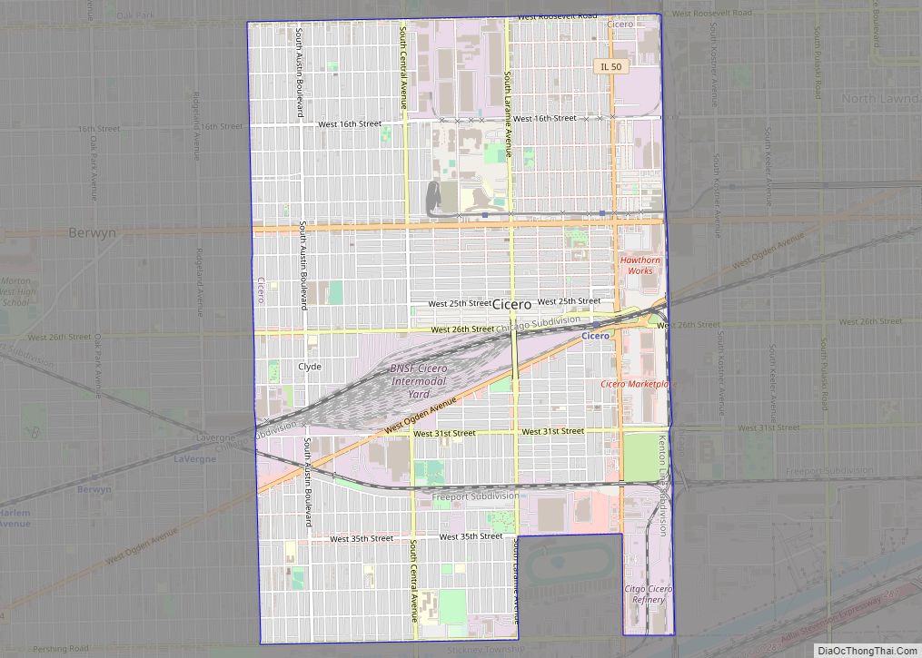
Cicero (originally known as Hawthorne) is a suburb of Chicago and an incorporated town in Cook County, Illinois, United States. Per the 2020 census, the population was 85,268, making it the 11th largest municipality in Illinois. The town of Cicero is named after Marcus Tullius Cicero, a Roman statesman and orator. Cicero town overview: Name: ... Read more
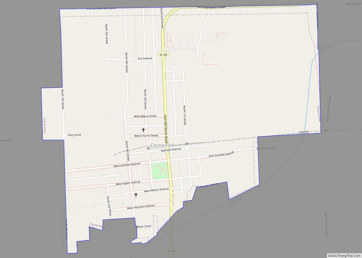
Cissna Park is a village in Pigeon Grove Township, Iroquois County, Illinois, United States. The population was 846 at the 2010 census. Cissna Park village overview: Name: Cissna Park village LSAD Code: 47 LSAD Description: village (suffix) State: Illinois County: Iroquois County Elevation: 666 ft (203 m) Total Area: 0.72 sq mi (1.88 km²) Land Area: 0.72 sq mi (1.88 km²) Water Area: ... Read more
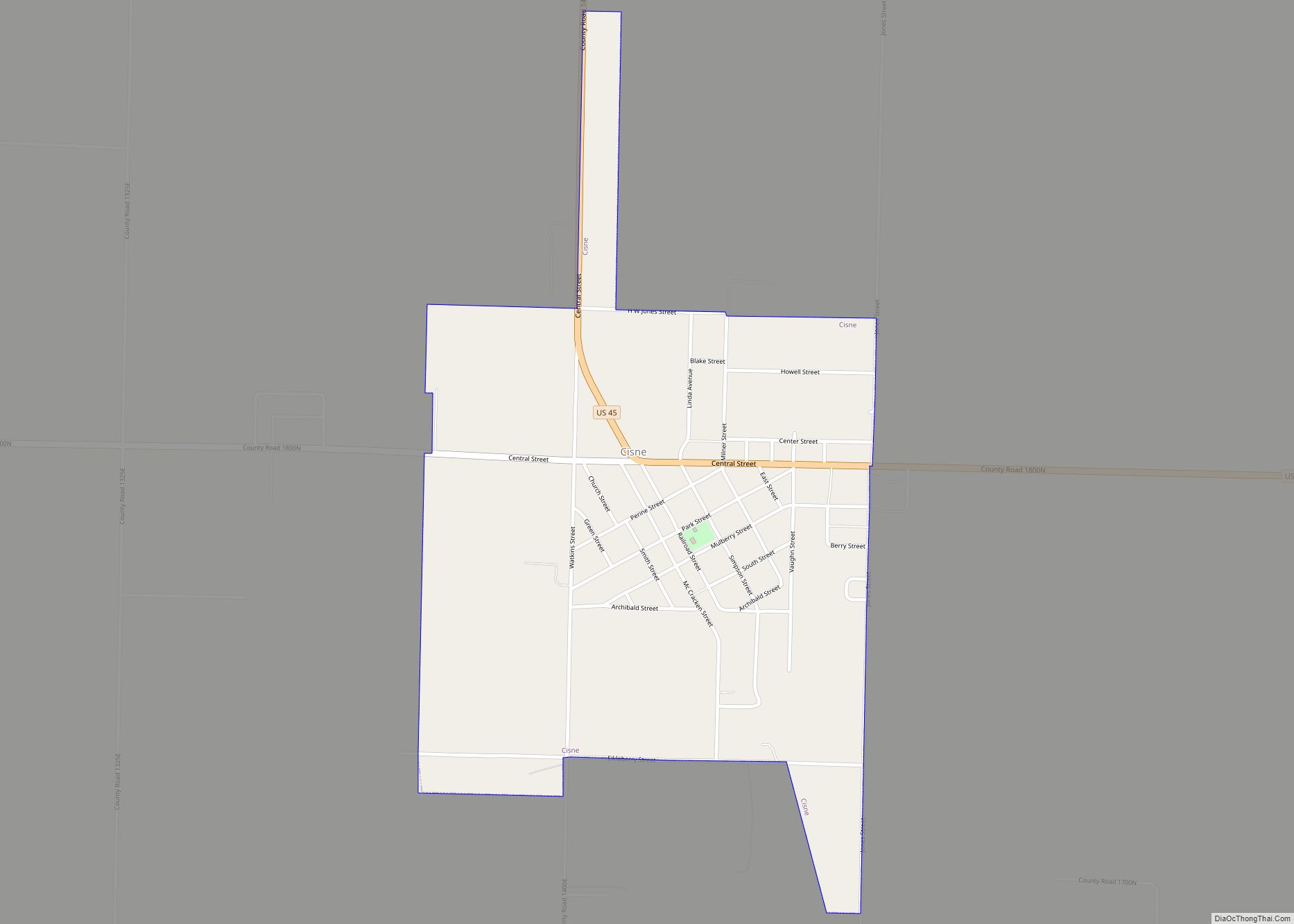
Cisne is a village in Wayne County, Illinois, United States. The population was 672 at the 2010 census. Cisne village overview: Name: Cisne village LSAD Code: 47 LSAD Description: village (suffix) State: Illinois County: Wayne County Elevation: 456 ft (139 m) Total Area: 0.63 sq mi (1.63 km²) Land Area: 0.63 sq mi (1.63 km²) Water Area: 0.00 sq mi (0.00 km²) Total Population: 634 Population ... Read more
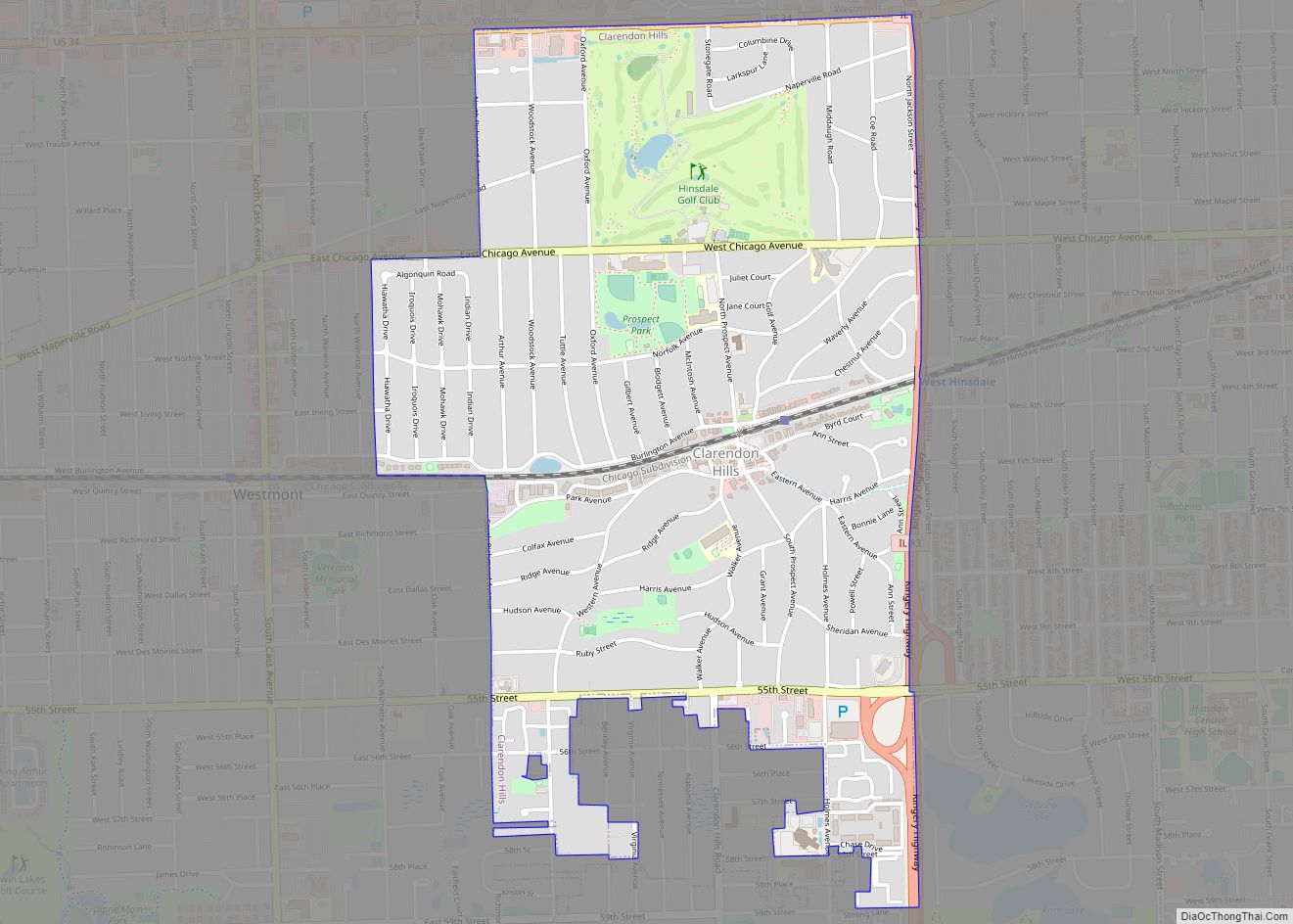
Clarendon Hills is a village in DuPage County, Illinois, United States. The population was 8,702 at the 2020 census. It is a south-west suburb of Chicago. Clarendon Hills village overview: Name: Clarendon Hills village LSAD Code: 47 LSAD Description: village (suffix) State: Illinois County: DuPage County Incorporated: 1924 Elevation: 728 ft (222 m) Total Area: 1.82 sq mi (4.71 km²) ... Read more
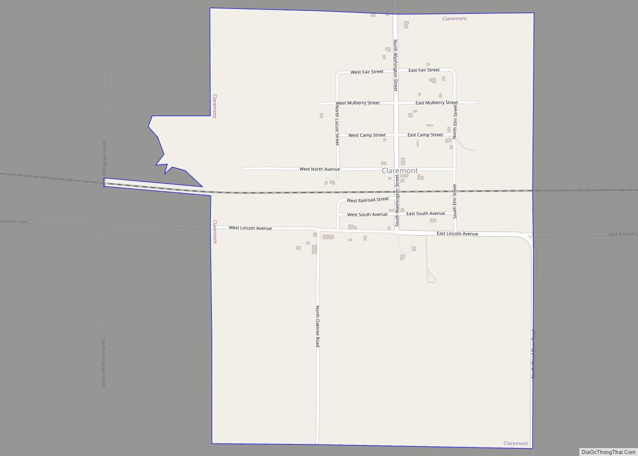
Claremont is a village in Richland County, Illinois, United States. The population was 212 at the 2000 census. Claremont village overview: Name: Claremont village LSAD Code: 47 LSAD Description: village (suffix) State: Illinois County: Richland County Elevation: 509 ft (155 m) Total Area: 0.79 sq mi (2.05 km²) Land Area: 0.79 sq mi (2.05 km²) Water Area: 0.00 sq mi (0.00 km²) Total Population: 161 Population ... Read more
Clayton is a village in Adams County, Illinois, United States. As of the 2020 census, the total population was 639 people, down from 709 at the 2010 census. It is part of the Quincy, IL–MO Micropolitan Statistical Area. Clayton village overview: Name: Clayton village LSAD Code: 47 LSAD Description: village (suffix) State: Illinois County: Adams ... Read more
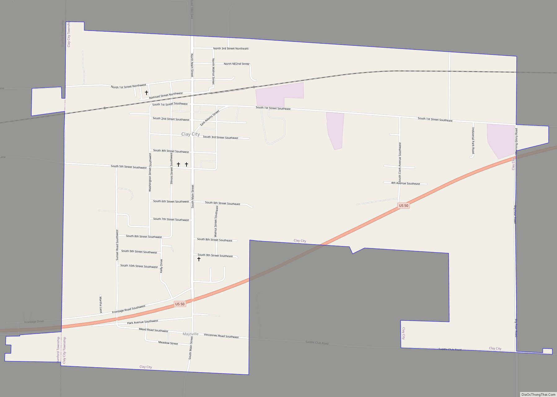
Clay City is a village in Clay County, Illinois, United States. The population was 847 at the 2020 census. Clay City was named for the Kentucky statesman Henry Clay. Clay City village overview: Name: Clay City village LSAD Code: 47 LSAD Description: village (suffix) State: Illinois County: Clay County Total Area: 1.78 sq mi (4.61 km²) Land Area: ... Read more
Cleveland is a village in Henry County, Illinois, United States. The population was 188 at the 2010 census, down from 253 in 2000. Cleveland village overview: Name: Cleveland village LSAD Code: 47 LSAD Description: village (suffix) State: Illinois County: Henry County Land Area: 0.29 sq mi (0.76 km²) Water Area: 0.00 sq mi (0.00 km²) Population Density: 554.42/sq mi (214.30/km²) Area code: ... Read more
Clear Lake is a village in Sangamon County, Illinois, United States. The population was 267 at the 2000 census. It is part of the Springfield, Illinois Metropolitan Statistical Area. Clear Lake village overview: Name: Clear Lake village LSAD Code: 47 LSAD Description: village (suffix) State: Illinois County: Sangamon County Total Area: 0.09 sq mi (0.24 km²) Land Area: ... Read more
Clinton is the largest city in DeWitt County, Illinois, United States. The population was 7,004 at the 2020 census. It is the county seat of DeWitt County. The city and the county are named for DeWitt Clinton, governor of New York, 1817–1823. Clinton Nuclear Generating Station is located six miles away on Clinton Lake. Clinton ... Read more
