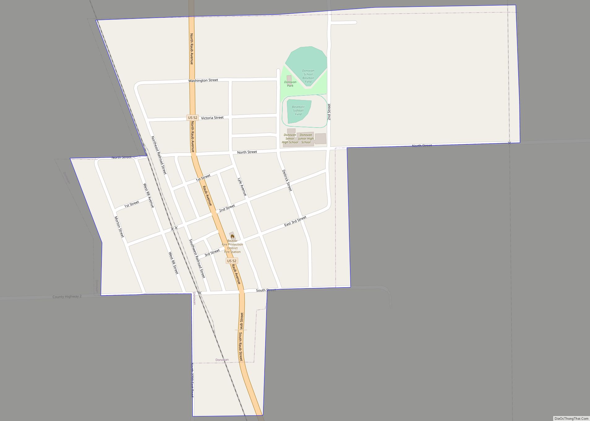
Donovan is a village in Beaver Township, Iroquois County, Illinois, United States. The population was 304 at the 2010 census. Donovan village overview: Name: Donovan village LSAD Code: 47 LSAD Description: village (suffix) State: Illinois County: Iroquois County Elevation: 673 ft (205 m) Total Area: 0.33 sq mi (0.85 km²) Land Area: 0.33 sq mi (0.85 km²) Water Area: 0.00 sq mi (0.00 km²) Total Population: ... Read more
Illinois Cities and Places
Dover is a village in Bureau County, Illinois, United States. The population was 135 at the 2020 census. It is part of the Ottawa Micropolitan Statistical Area. Dover village overview: Name: Dover village LSAD Code: 47 LSAD Description: village (suffix) State: Illinois County: Bureau County Elevation: 741 ft (226 m) Total Area: 0.29 sq mi (0.8 km²) Land Area: 0.28 sq mi ... Read more
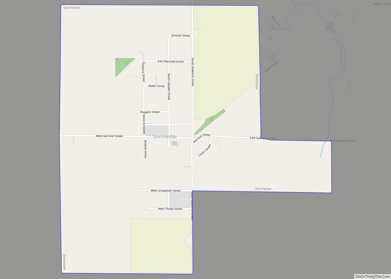
Dorchester is a village in Macoupin County, Illinois, United States. The population was 133 at the 2020 census. Dorchester village overview: Name: Dorchester village LSAD Code: 47 LSAD Description: village (suffix) State: Illinois County: Macoupin County Elevation: 659 ft (201 m) Total Area: 0.72 sq mi (1.87 km²) Land Area: 0.72 sq mi (1.87 km²) Water Area: 0.00 sq mi (0.00 km²) Total Population: 133 Population ... Read more
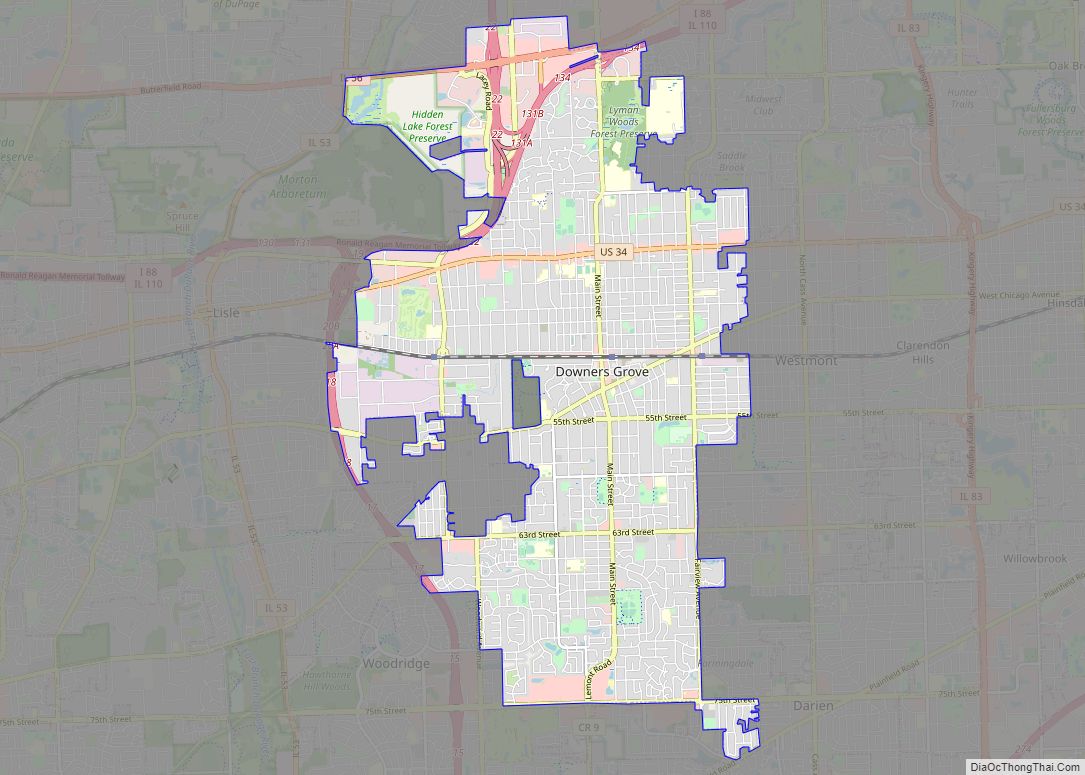
Downers Grove is a village in DuPage County, Illinois, United States. It was founded in 1832 by Pierce Downer, whose surname serves as the eponym for the village. Per the 2020 census, the population of the village was 50,247. It is a southwest suburb of Chicago located between I-88 and I-55. Downers Grove village overview: ... Read more
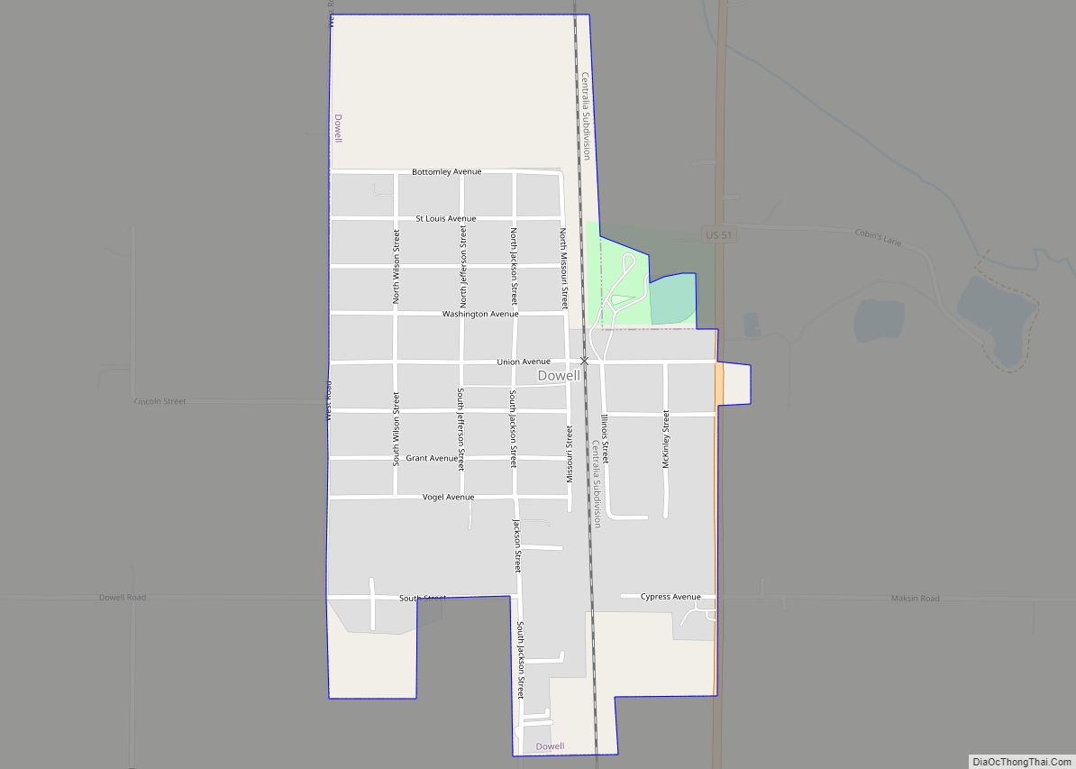
Dowell is a village in Jackson County, Illinois, United States. The population was estimated to be 385 at the 2020 census, down from 408 at the 2010 census. Dowell village overview: Name: Dowell village LSAD Code: 47 LSAD Description: village (suffix) State: Illinois County: Jackson County Founded: 1915 Elevation: 400 ft (100 m) Total Area: 0.39 sq mi (1.01 km²) ... Read more
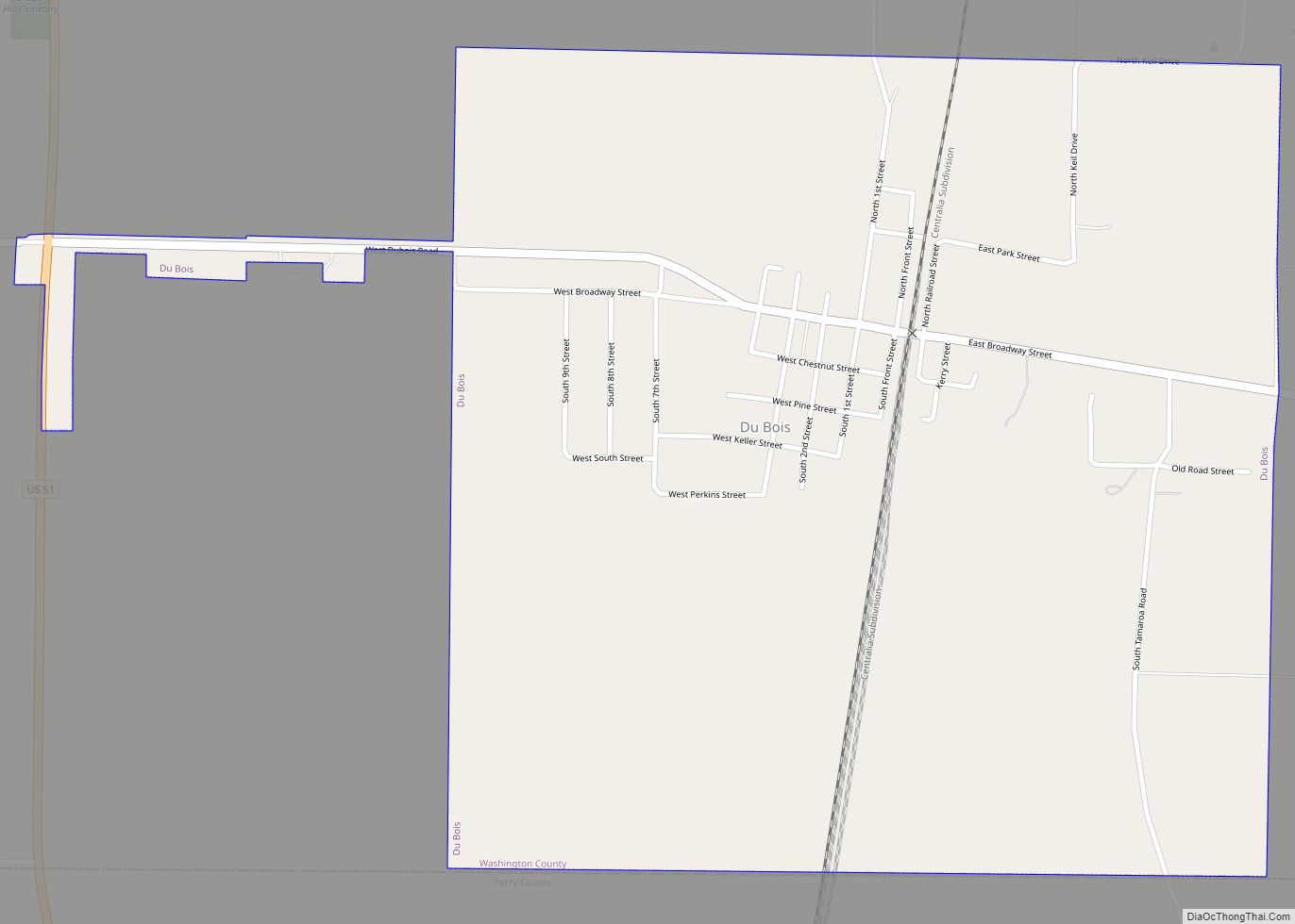
Du Bois is a village in Washington County, Illinois, United States. The population was 205 at the 2010 census and as of 2018, the population had declined to an estimated 150. Du Bois village overview: Name: Du Bois village LSAD Code: 47 LSAD Description: village (suffix) State: Illinois County: Washington County Elevation: 515 ft (157 m) Total ... Read more
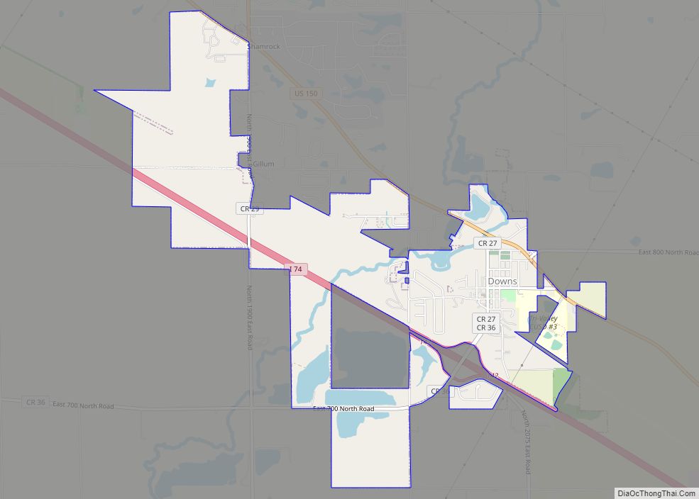
Downs is a village in McLean County, Illinois, United States. The population was 1,201 at the 2020 census, up from 1,005 in 2010. It is part of the Bloomington–Normal Metropolitan Statistical Area. Downs village overview: Name: Downs village LSAD Code: 47 LSAD Description: village (suffix) State: Illinois County: McLean County Elevation: 755 ft (230 m) Total Area: ... Read more
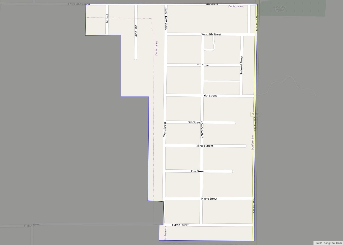
Dunfermline is a village in Fulton County, Illinois, United States. The population was 300 at the 2010 census, up from 262 at the 2000 census. Dunfermline is pronounced Done-ferm-lin. Dunfermline village overview: Name: Dunfermline village LSAD Code: 47 LSAD Description: village (suffix) State: Illinois County: Fulton County Elevation: 640 ft (200 m) Total Area: 0.15 sq mi (0.38 km²) Land ... Read more
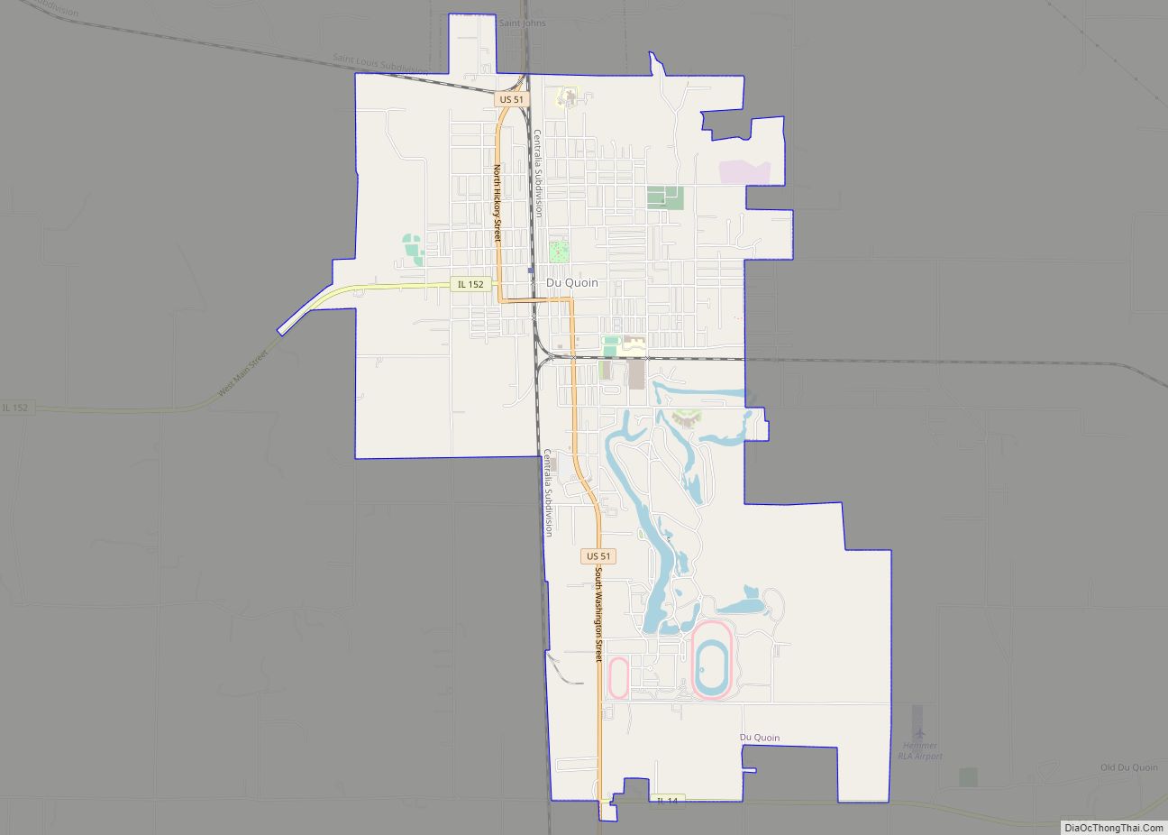
Du Quoin (/duːˈkɔɪn/ doo-KOYN) is a city in Perry County, Illinois. It is best known for hosting the annual DuQuoin State Fair and the Street Machine Nationals. The population is estimated at 5,761 in the 2020 census. Du Quoin city overview: Name: Du Quoin city LSAD Code: 25 LSAD Description: city (suffix) State: Illinois County: ... Read more
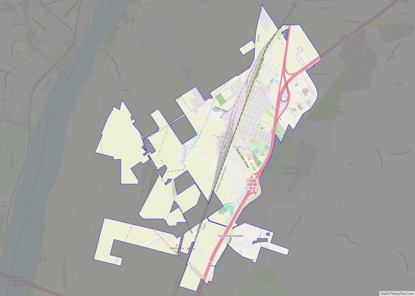
Dupo is a village in St. Clair County, Illinois, United States. The population was 4,138 at the 2010 census, an increase from 3,933 in 2000. The village was settled in about 1750 and was incorporated in 1907. Its modern name, adopted in the early 20th century, is shortened from Prairie du Pont (“Bridge Prairie”). Dupo ... Read more
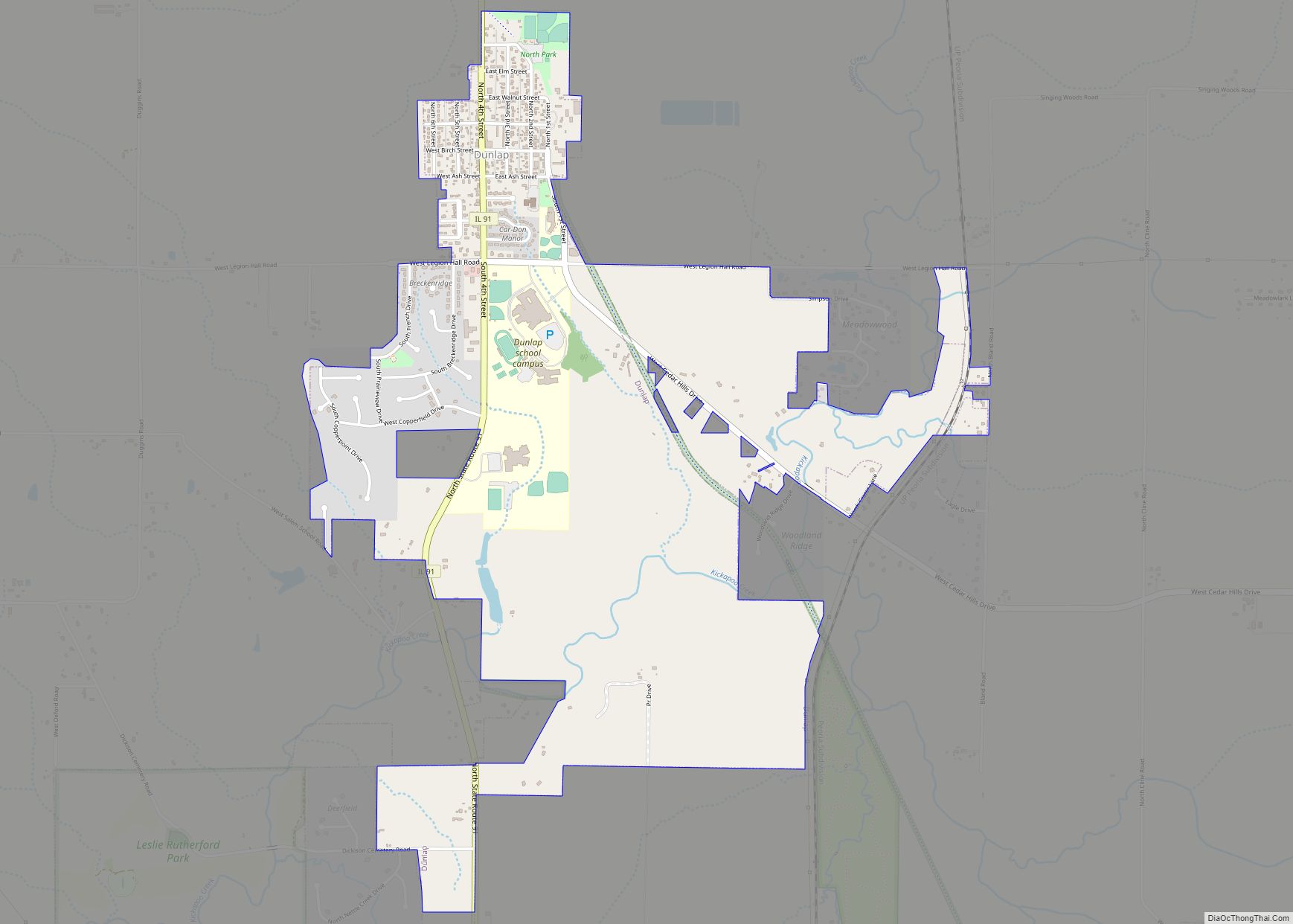
Dunlap is a village in Peoria County, Illinois, United States. Its population was 1,386 people as of the 2010 census. Dunlap is part of the Peoria metropolitan area and growth in the city of Peoria is extending towards the village. There are only a handful of businesses in the village’s 16 blocks. Dunlap village overview: ... Read more
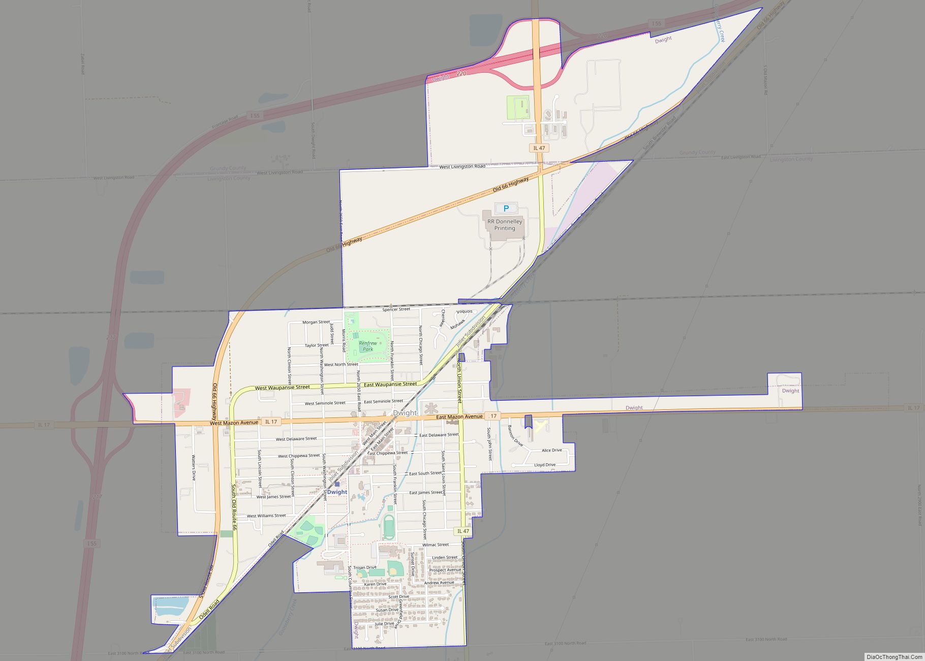
Dwight is a village located mainly in Livingston County, Illinois, with a small portion in Grundy County. The population was 4,032 at the 2020 census. Dwight contains an original stretch of U.S. Route 66, and from 1892 until 2016 continuously used a railroad station designed in 1891 by Henry Ives Cobb. Interstate 55 bypasses the ... Read more
