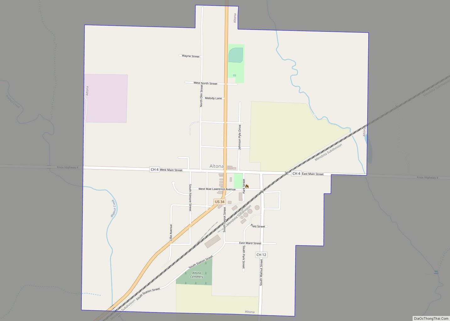
Map of Alsip village

Map of Alsip village

Alsip is a village in Cook County, Illinois, United States. The population was 19,063 at the 2020 census. It is part of the Chicago metropolitan area. Alsip was settled in the 1830s by German and Dutch farmers. The village is named after Frank Alsip, the owner of a brickyard that opened there in 1885. The … Read more

Map of Apple River village

Map of Apple River village

Apple River is a village in Jo Daviess County, Illinois, United States. The population was 366 at the 2010 census, down from 379 in 2000. Apple River village overview: Name: Apple River village LSAD Code: 47 LSAD Description: village (suffix) State: Illinois County: Jo Daviess County Elevation: 1,010 ft (310 m) Total Area: 0.70 sq mi (1.82 km²) Land Area: … Read more

Map of Apple Canyon Lake CDP

Map of Apple Canyon Lake CDP

Apple Canyon Lake is a census-designated place in Jo Daviess County, Illinois, United States. Its population was 558 as of the 2010 census. Apple Canyon Lake CDP overview: Name: Apple Canyon Lake CDP LSAD Code: 57 LSAD Description: CDP (suffix) State: Illinois County: Jo Daviess County Elevation: 853 ft (260 m) Total Area: 4.37 sq mi (11.32 km²) Land Area: … Read more

Map of Antioch village, Illinois

Map of Antioch village, Illinois

Antioch is a village in the U.S. state of Illinois. Antioch is part of the larger Antioch Township within Lake County. As of the 2020 census, the population was 14,622. The village is nestled into the Chain O’Lakes waterway system and borders the state of Wisconsin. Part of the Chicago metropolitan area, Antioch is located … Read more

Map of Annawan town

Map of Annawan town

Annawan is an incorporated town in Henry County, Illinois, United States. The population was 878 at the 2010 census. Annawan town overview: Name: Annawan town LSAD Code: 43 LSAD Description: town (suffix) State: Illinois County: Bureau County, Henry County Incorporated: March 31, 1869 (1869-03-31) Elevation: 646 ft (197 m) Total Area: 2.14 sq mi (5.55 km²) Land Area: 2.14 sq mi (5.55 km²) Water Area: 0.00 sq mi … Read more

Map of Annapolis city

Map of Annapolis CDP, Illinois

Annapolis is an unincorporated census-designated place (CDP) in Crawford County, Illinois, United States. Annapolis is 10 miles (16 km) north-northwest of Robinson. Annapolis has a post office with ZIP code 62413. Its population was 106 as of 2020. Annapolis CDP overview: Name: Annapolis CDP LSAD Code: 57 LSAD Description: CDP (suffix) State: Illinois County: Crawford County … Read more

Map of Anna city

Map of Anna city, Illinois

Anna is the largest community and retail trade center in Union County, Illinois, United States. Located in Southern Illinois, its population was 4,442 at the 2010 United States Census, a decline from 5,135 in 2000. It is known for being tied to its close neighbor Jonesboro, together known as Anna-Jonesboro. Anna is known for the … Read more

Map of Arlington Heights village

Map of Arlington Heights village, Illinois

Arlington Heights is a municipality in Cook County in the U.S. state of Illinois. A suburb of Chicago, it lies about 25 miles (40 km) northwest of the city’s downtown. Per the 2020 Census, the population was 77,676. Per the 2010 Census, it is the most populous community in the United States that is incorporated as … Read more

Map of Argenta village

Map of Argenta village

Argenta is a village in Macon County, Illinois, United States, whose population was 913 at the 2020 census. It is included in the Decatur, Illinois Metropolitan Statistical Area. Argenta village overview: Name: Argenta village LSAD Code: 47 LSAD Description: village (suffix) State: Illinois County: Macon County Elevation: 678 ft (207 m) Total Area: 0.65 sq mi (1.69 km²) Land Area: … Read more

Map of Arenzville village

Map of Arenzville village

Arenzville is a village in Cass County, Illinois, United States. The population was 367 at the 2020 census. Arenzville village overview: Name: Arenzville village LSAD Code: 47 LSAD Description: village (suffix) State: Illinois County: Cass County Elevation: 538 ft (164 m) Total Area: 0.77 sq mi (1.99 km²) Land Area: 0.77 sq mi (1.99 km²) Water Area: 0.00 sq mi (0.00 km²) Total Population: 367 Population … Read more

Map of Arcola city

Map of Arcola city, Illinois

Arcola is a city in Douglas County, Illinois, United States. The population was 2,927 at the 2020 census. The city was founded in 1855, when the Illinois Central Railroad was built through the county. The railroad itself was responsible for surveying, platting and founding the town. Arcola city overview: Name: Arcola city LSAD Code: 25 … Read more

Map of Ashton village, Illinois

Map of Ashton village, Illinois

Ashton is a village in Lee County, Illinois, United States. The population was 972 at the 2010 census, down from 1,142 in 2000. Ashton village overview: Name: Ashton village LSAD Code: 47 LSAD Description: village (suffix) State: Illinois County: Lee County Total Area: 0.67 sq mi (1.74 km²) Land Area: 0.67 sq mi (1.74 km²) Water Area: 0.00 sq mi (0.00 km²) Total Population: … Read more