Anna is the largest community and retail trade center in Union County, Illinois, United States. Located in Southern Illinois, its population was 4,442 at the 2010 United States Census, a decline from 5,135 in 2000. It is known for being tied to its close neighbor Jonesboro, together known as Anna-Jonesboro. Anna is known for the Choate Mental Health and Development Center, a state facility that opened in 1869.
| Name: | Anna city |
|---|---|
| LSAD Code: | 25 |
| LSAD Description: | city (suffix) |
| State: | Illinois |
| County: | Union County |
| Incorporated: | February 16, 1865 |
| Elevation: | 617 ft (188 m) |
| Total Area: | 3.70 sq mi (9.58 km²) |
| Land Area: | 3.68 sq mi (9.52 km²) |
| Water Area: | 0.02 sq mi (0.05 km²) |
| Total Population: | 4,303 |
| Population Density: | 1,170.25/sq mi (451.85/km²) |
| ZIP code: | 62906 |
| Area code: | 618 |
| FIPS code: | 1701543 |
| GNISfeature ID: | 2393961 |
| Website: | cityofanna.org |
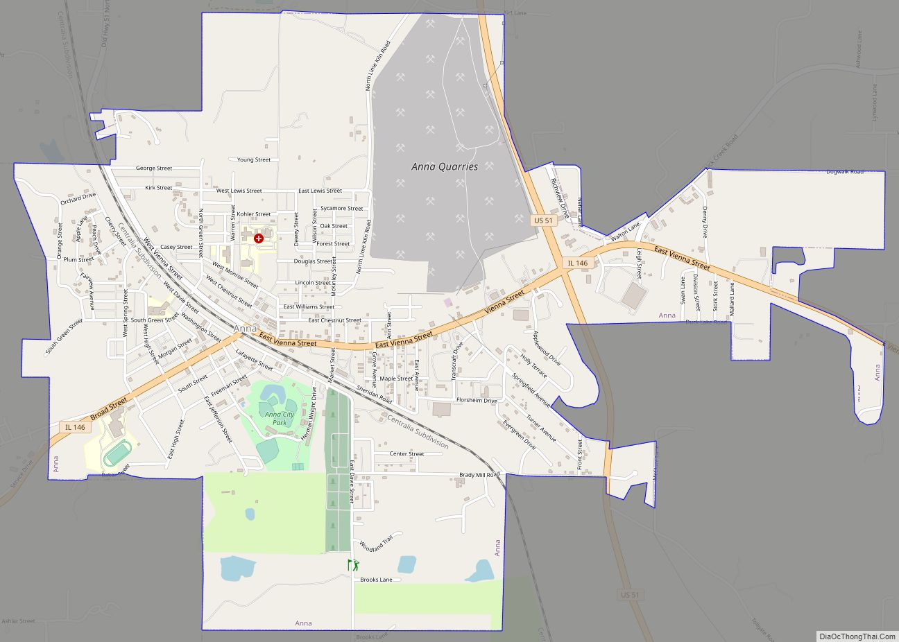
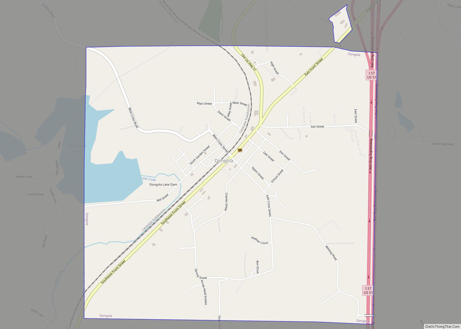
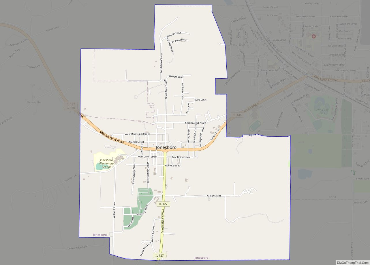
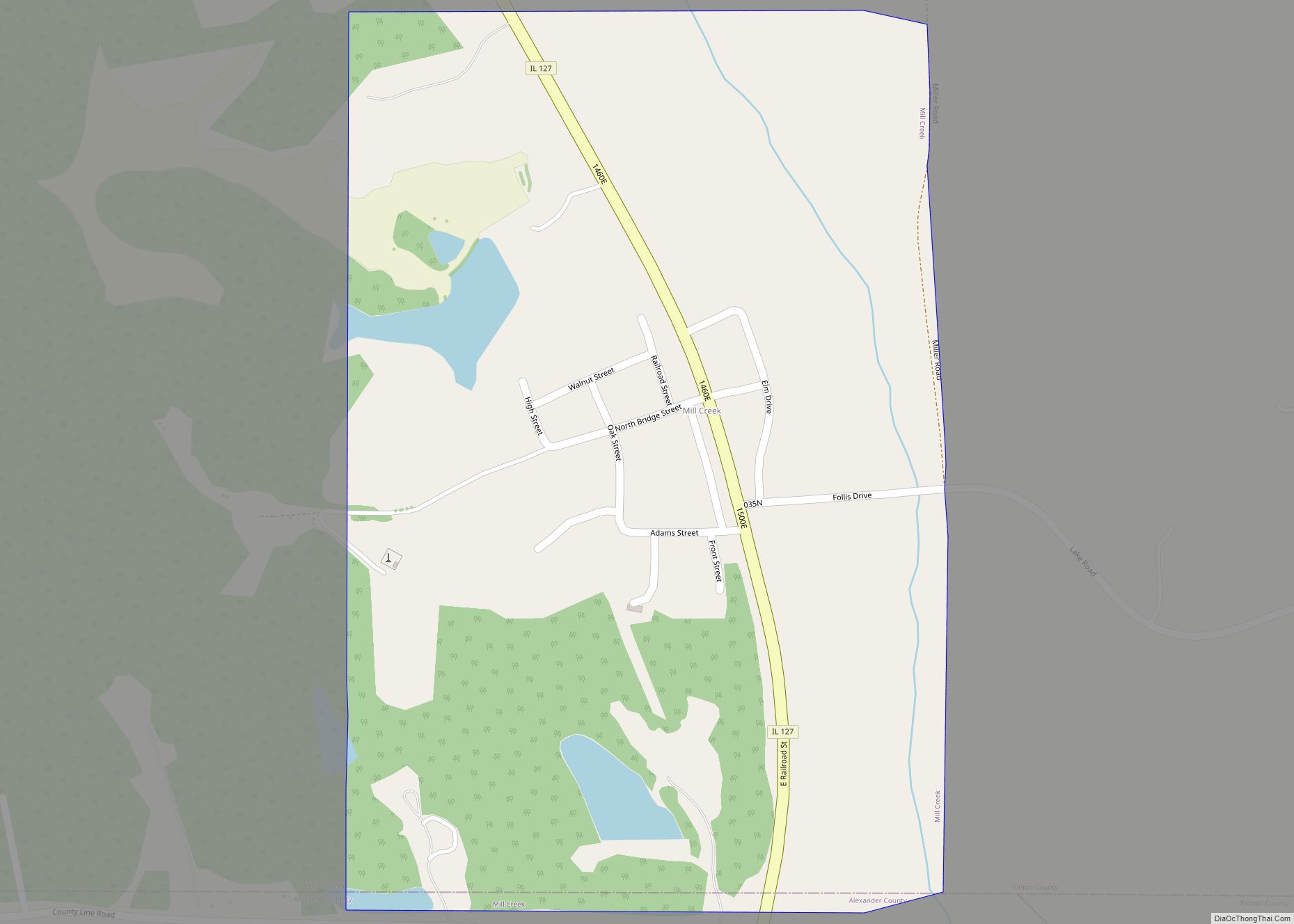
Online Interactive Map
Click on ![]() to view map in "full screen" mode.
to view map in "full screen" mode.
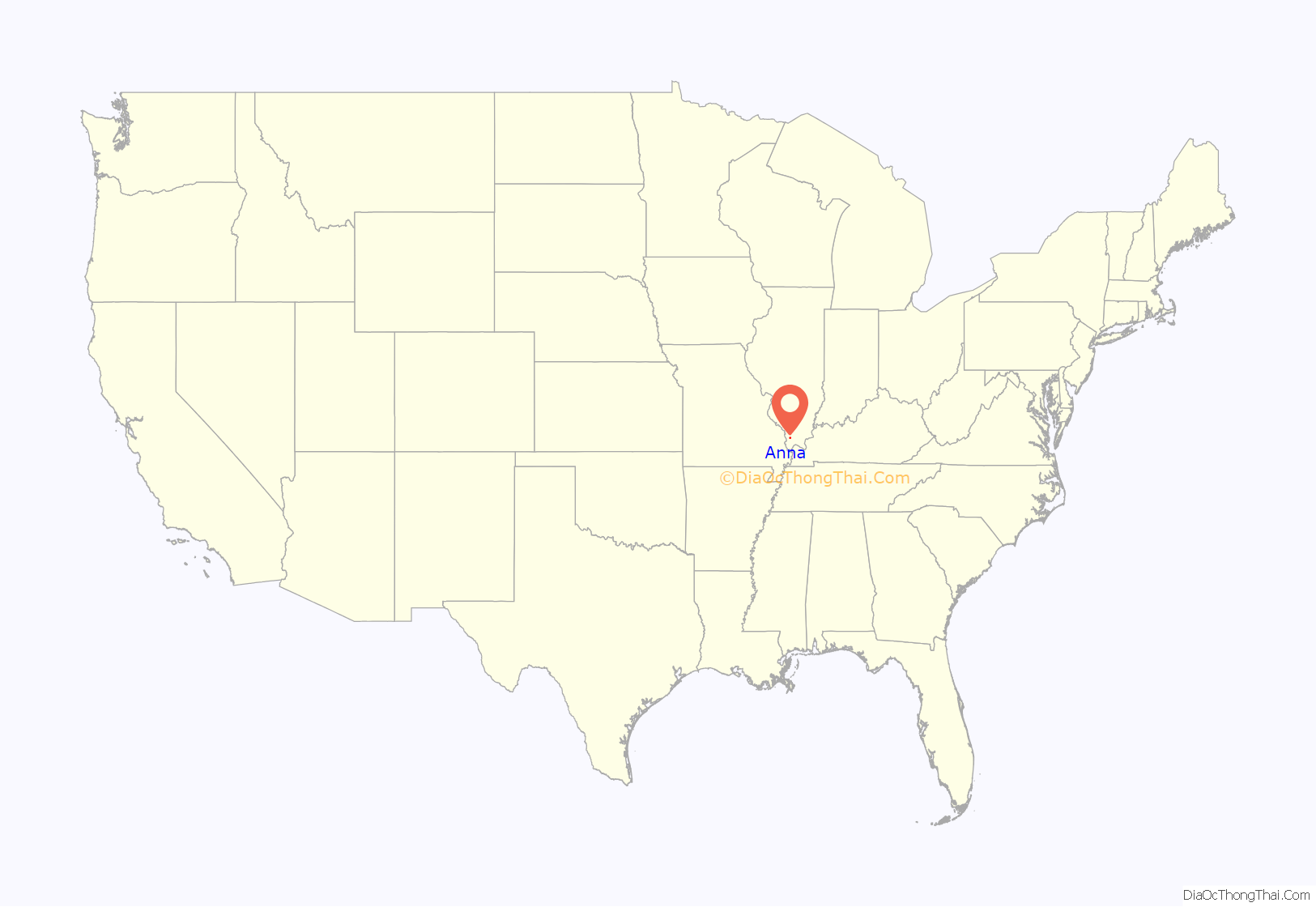
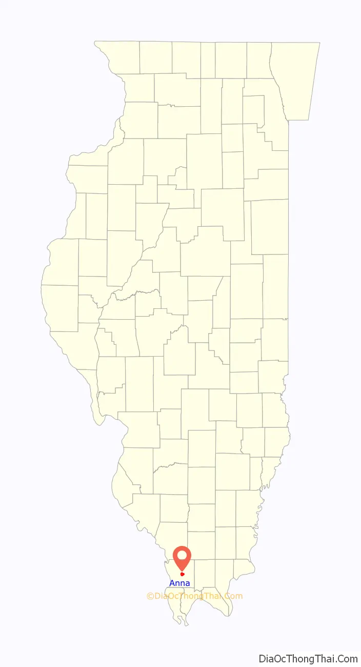
Anna location map. Where is Anna city?
History
Anna was platted on March 3, 1854, after the new Illinois Central Railroad established a station there. It was founded by Winstead Davie and named after Anna Davie, his wife. It was then incorporated on February 16, 1865.
The coming of the railroad can be credited for prompting the founding of the City of Anna, although, from the time of the George Rogers Clark expedition into Southern Illinois country, emigrants recognized its agricultural possibilities. Centrally located in Anna Precinct of Union County, Anna was established by ordinance following the election of Trustees in 1855, although the plot was recorded in the county records on March 3, 1854. The area’s elevation and fertile soil have made fruit farming—particularly the growth of grapes for winemaking—one of the area’s principal businesses. For the purpose of farming, fruit growing, gardening, and dairying, the lands in and around Anna are not surpassed in Southern Illinois. The precinct in which Anna lies is situated on the divide between the waters of the Ohio and Mississippi Rivers and is well drained by the Cache, Cypress, and Big Creeks. Many cool springs of water aid materially in cattle farming in this area.
In 1859, brothers Cornwall and Wallace Kirkpatrick started Anna Pottery in Anna. Their work became well-known and later, collectors’ items; one of their most descriptive pieces was a pig from which wine could be consumed. The business ran until 1900, according to an exhibit at the Union County Historical Society Museum in Cobden.
During the American Civil War, Camp Anna in 1862 was the mustering and training location for some Illinois Infantry regiments, including the 81st, 109th, and 110th. There have been various commemorations ever since, including: 2013 and 2022.
Sentiments in Union County for the north and south were clearly divided during the war. Contemporary newspapers were blatantly political. The Anna Democrat continued publication, while the Jonesboro Gazette was denied its constitutional right to freedom of the press from 15 May 1863 until it was allowed to resume publication on 5 March 1864. The newspapers were consolidated to form The Gazette-Democrat on 26 October 1939.
Anna is home to the site of the Union County Fair, which started in 1880 and continues today.
In 1909, town residents attempted to drive out the black families who lived in Anna, after the lynching of William “Froggie” James in the nearby town of Cairo, Illinois for the rape and murder of Anna resident Anna Pelley. Anna was historically a sundown town, in which African Americans were excluded from living in the town’s limits. Though the town was named after Anna Davie, the wife of the town’s founder, some outsiders believed that the town’s name was an acronym for “Ain’t No Niggers Allowed”. The town has become infamous for it by its portrayal in literature and film. The phrase is still well-known, with few non-white residents owing in part to its historical reputation.
The Stinson Memorial Library is a public library located at 409 South Main Street in Anna, Illinois. The library was designed by Walter Burley Griffin, an understudy to Frank Lloyd Wright, in 1913 and constructed in 1913–14. It was added to the National Register of Historic Places on June 9, 1978.
Lewis Bakeries, the makers of Bunny Bread, was founded in 1925. Lewis started the company with a $300 loan against his mother’s house, and by 1987, the company was reportedly earning $80 million in annual sales. Founder Jack Lewis died in September 2001 at the age of 91. Bunny Bread itself was created in 1947, according to the Bunny Bread website.
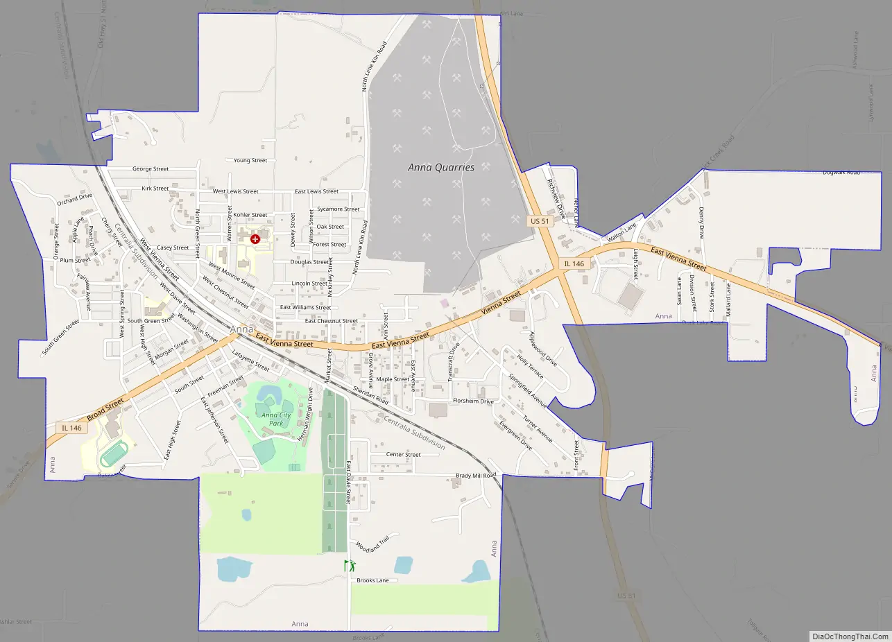
Anna Road Map
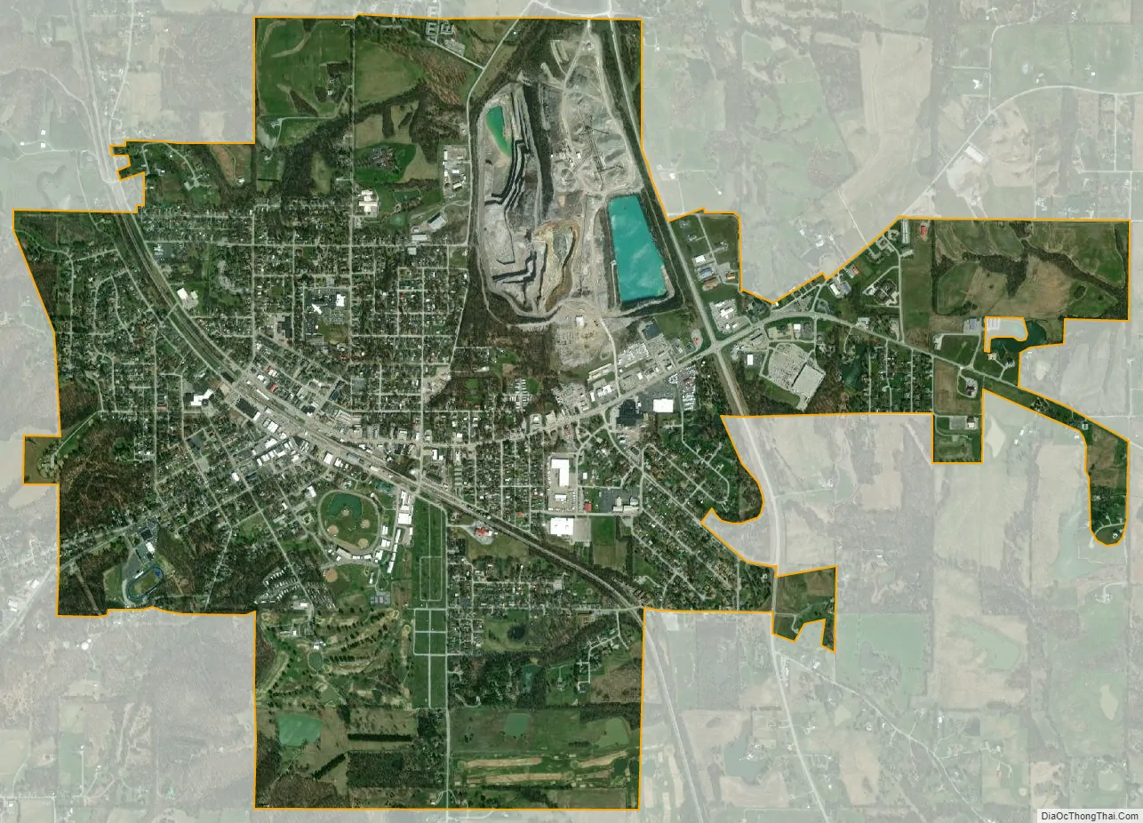
Anna city Satellite Map
Geography
Anna is located at 37°27′40″N 89°14′20″W / 37.46111°N 89.23889°W / 37.46111; -89.23889.
According to the 2010 census, Anna has a total area of 3.519 square miles (9.11 km), of which 3.5 sq mi (9.06 km) (or 99.46%) is land and 0.019 sq mi (0.05 km) (or 0.54%) is water.
See also
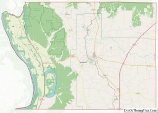
Map of Illinois State and its subdivision:- Adams
- Alexander
- Bond
- Boone
- Brown
- Bureau
- Calhoun
- Carroll
- Cass
- Champaign
- Christian
- Clark
- Clay
- Clinton
- Coles
- Cook
- Crawford
- Cumberland
- De Kalb
- De Witt
- Douglas
- Dupage
- Edgar
- Edwards
- Effingham
- Fayette
- Ford
- Franklin
- Fulton
- Gallatin
- Greene
- Grundy
- Hamilton
- Hancock
- Hardin
- Henderson
- Henry
- Iroquois
- Jackson
- Jasper
- Jefferson
- Jersey
- Jo Daviess
- Johnson
- Kane
- Kankakee
- Kendall
- Knox
- La Salle
- Lake
- Lake Michigan
- Lawrence
- Lee
- Livingston
- Logan
- Macon
- Macoupin
- Madison
- Marion
- Marshall
- Mason
- Massac
- McDonough
- McHenry
- McLean
- Menard
- Mercer
- Monroe
- Montgomery
- Morgan
- Moultrie
- Ogle
- Peoria
- Perry
- Piatt
- Pike
- Pope
- Pulaski
- Putnam
- Randolph
- Richland
- Rock Island
- Saint Clair
- Saline
- Sangamon
- Schuyler
- Scott
- Shelby
- Stark
- Stephenson
- Tazewell
- Union
- Vermilion
- Wabash
- Warren
- Washington
- Wayne
- White
- Whiteside
- Will
- Williamson
- Winnebago
- Woodford
- Alabama
- Alaska
- Arizona
- Arkansas
- California
- Colorado
- Connecticut
- Delaware
- District of Columbia
- Florida
- Georgia
- Hawaii
- Idaho
- Illinois
- Indiana
- Iowa
- Kansas
- Kentucky
- Louisiana
- Maine
- Maryland
- Massachusetts
- Michigan
- Minnesota
- Mississippi
- Missouri
- Montana
- Nebraska
- Nevada
- New Hampshire
- New Jersey
- New Mexico
- New York
- North Carolina
- North Dakota
- Ohio
- Oklahoma
- Oregon
- Pennsylvania
- Rhode Island
- South Carolina
- South Dakota
- Tennessee
- Texas
- Utah
- Vermont
- Virginia
- Washington
- West Virginia
- Wisconsin
- Wyoming