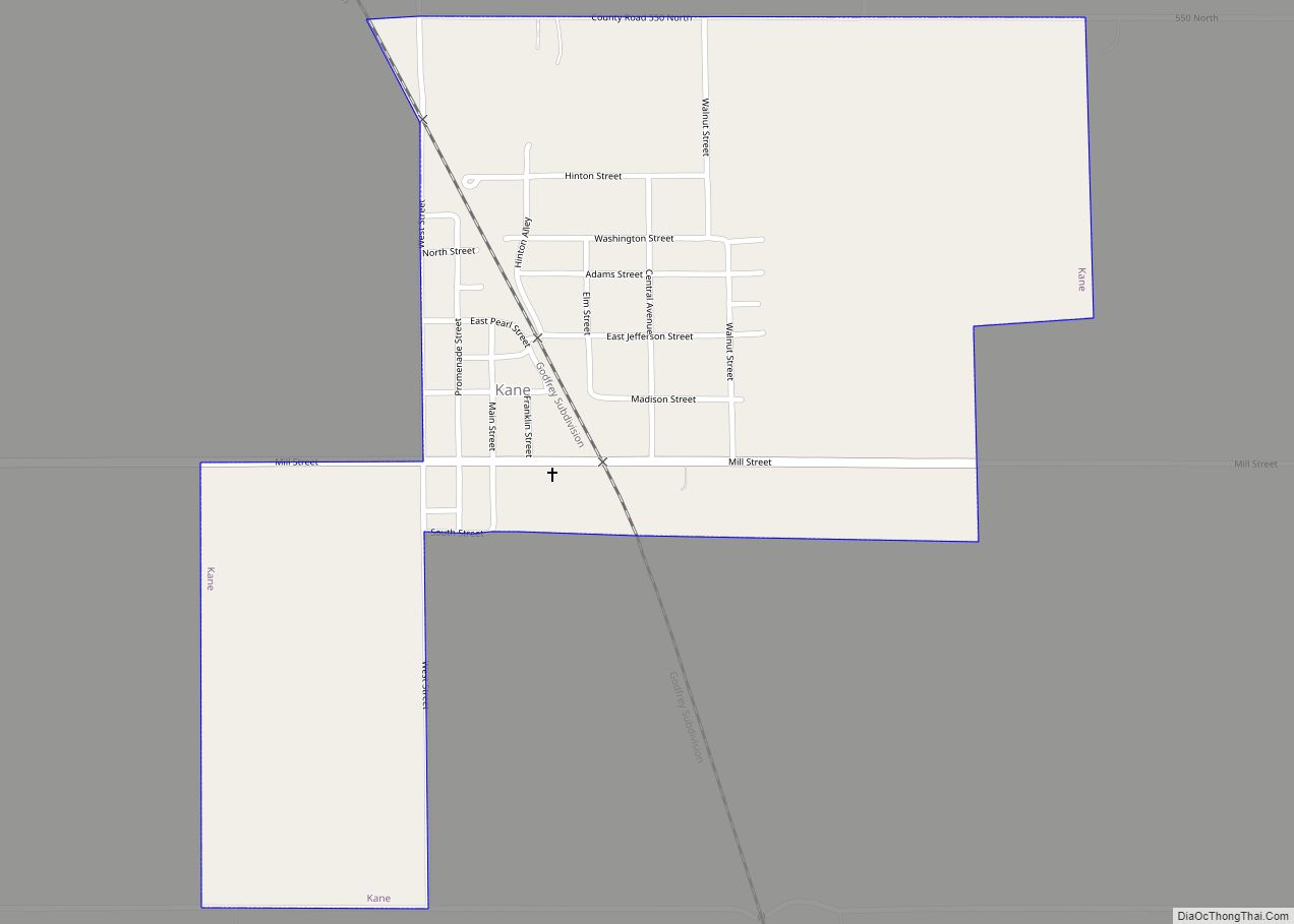
Kane is a village in Greene County, Illinois, United States. The population was 438 at the 2010 census. Kane village overview: Name: Kane village LSAD Code: 47 LSAD Description: village (suffix) State: Illinois County: Greene County Elevation: 558 ft (170 m) Total Area: 0.54 sq mi (1.41 km²) Land Area: 0.54 sq mi (1.41 km²) Water Area: 0.00 sq mi (0.00 km²) Total Population: 296 Population ... Read more
Illinois Cities and Places
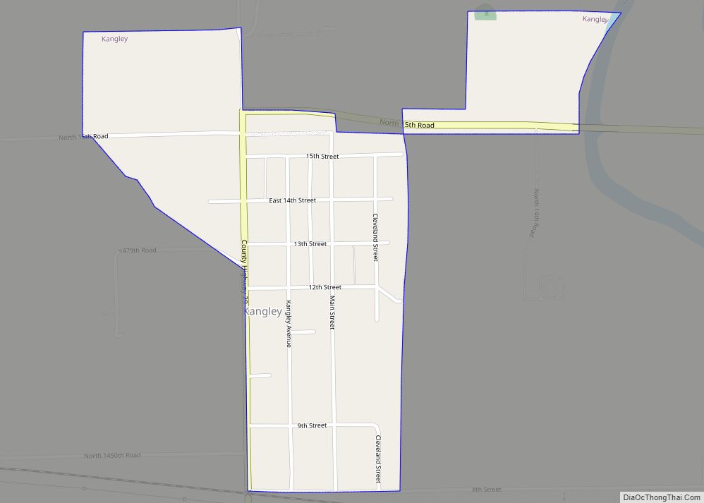
Kangley is a village in LaSalle County, Illinois, United States. The population was 235 at the 2020 census, down from 251 at the 2010 census. It is part of the Ottawa Micropolitan Statistical Area. It is a part of the geographic region known as Streatorland. Kangley village overview: Name: Kangley village LSAD Code: 47 LSAD ... Read more
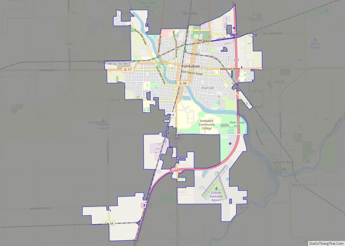
Kankakee /ˌkæŋkəˈkiː/ is a city in and the county seat of Kankakee County, Illinois, United States. As of 2020, the city’s population was 24,052. Kankakee is a principal city of the Kankakee-Bourbonnais-Bradley Metropolitan Statistical Area. It serves as an anchor city in the rural plains outside Chicago, similar to Aurora and Joliet. Kankakee city overview: ... Read more
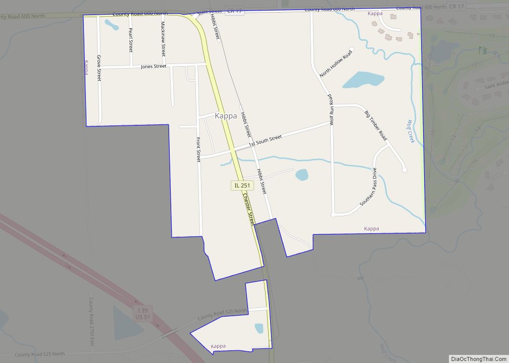
Kappa is a village in Woodford County, Illinois, United States. The population was 227 at the 2010 census, up from 170 in 2000. It is part of the Peoria, Illinois Metropolitan Statistical Area. In 1833 Thomas Dixon became the first settler in the Kappa area. Over the next few years, other settlers moved in around ... Read more
Kansas is a village in Kansas Township, Edgar County, Illinois. The population was 670 at the 2020 census. Kansas village overview: Name: Kansas village LSAD Code: 47 LSAD Description: village (suffix) State: Illinois County: Edgar County Elevation: 715 ft (218 m) Total Area: 1.02 sq mi (2.65 km²) Land Area: 1.02 sq mi (2.65 km²) Water Area: 0.00 sq mi (0.00 km²) Total Population: 670 Population ... Read more
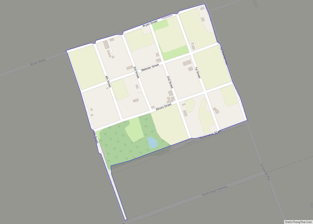
Kaskaskia is a village in Randolph County, Illinois. Having been inhabited by indigenous peoples, it was settled by France as part of the Illinois Country. It was named for the Kaskaskia people. Its population peaked at about 7,000 in the 18th century, when it was a regional center. During the American Revolutionary War, the town, ... Read more
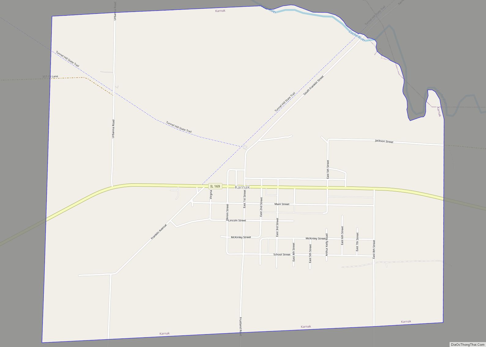
Karnak is a village in Pulaski County, Illinois, United States. The population was 499 at the 2010 census. Karnak village overview: Name: Karnak village LSAD Code: 47 LSAD Description: village (suffix) State: Illinois County: Pulaski County Elevation: 341 ft (104 m) Total Area: 1.81 sq mi (4.69 km²) Land Area: 1.81 sq mi (4.68 km²) Water Area: 0.00 sq mi (0.01 km²) Total Population: 430 Population ... Read more
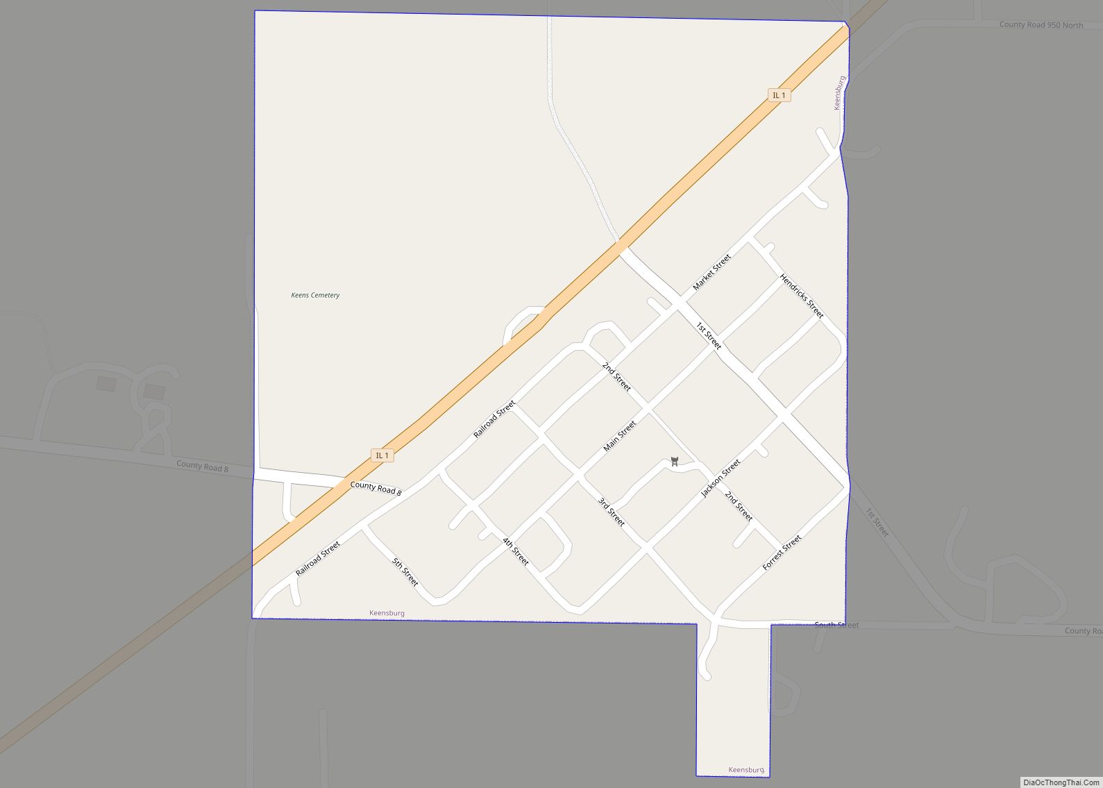
Keensburg is a village in Coffee Precinct, Wabash County, Illinois. The population was 192 at the 2010 census. Keensburg village overview: Name: Keensburg village LSAD Code: 47 LSAD Description: village (suffix) State: Illinois County: Wabash County Elevation: 423 ft (129 m) Total Area: 0.26 sq mi (0.67 km²) Land Area: 0.26 sq mi (0.67 km²) Water Area: 0.00 sq mi (0.00 km²) Total Population: 174 Population ... Read more
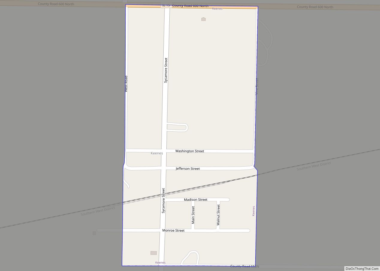
Keenes is a village in Wayne County, Illinois, United States. The population was 99 at the 2000 census. Keenes village overview: Name: Keenes village LSAD Code: 47 LSAD Description: village (suffix) State: Illinois County: Wayne County Elevation: 449 ft (137 m) Total Area: 0.13 sq mi (0.34 km²) Land Area: 0.13 sq mi (0.34 km²) Water Area: 0.00 sq mi (0.00 km²) Total Population: 50 Population ... Read more
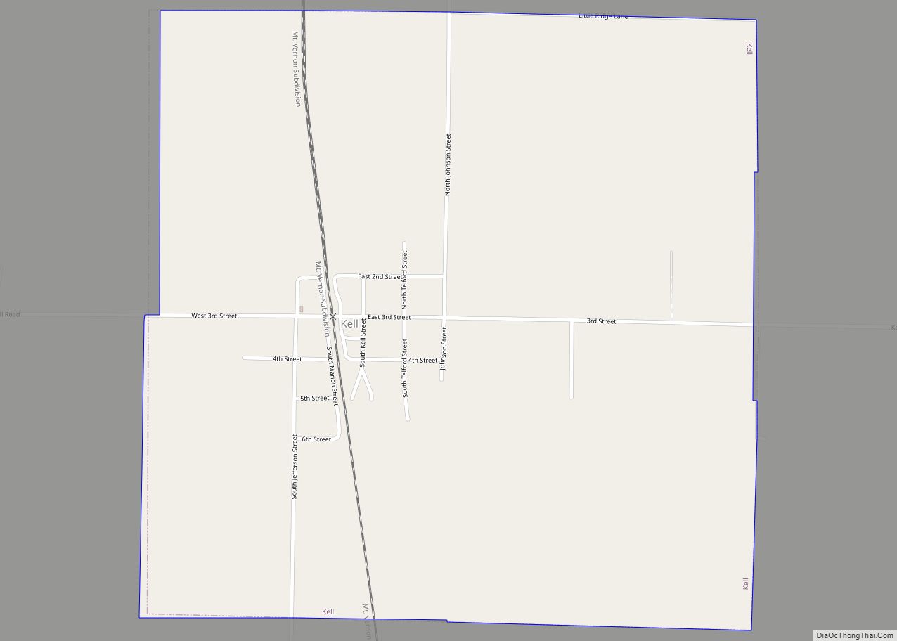
Kell is a village in Marion County, Illinois, United States. The population was 173 at the 2020 census, down from 219 in 2010. Kell village overview: Name: Kell village LSAD Code: 47 LSAD Description: village (suffix) State: Illinois County: Marion County Elevation: 614 ft (187 m) Total Area: 1.00 sq mi (2.60 km²) Land Area: 1.00 sq mi (2.60 km²) Water Area: 0.00 sq mi ... Read more
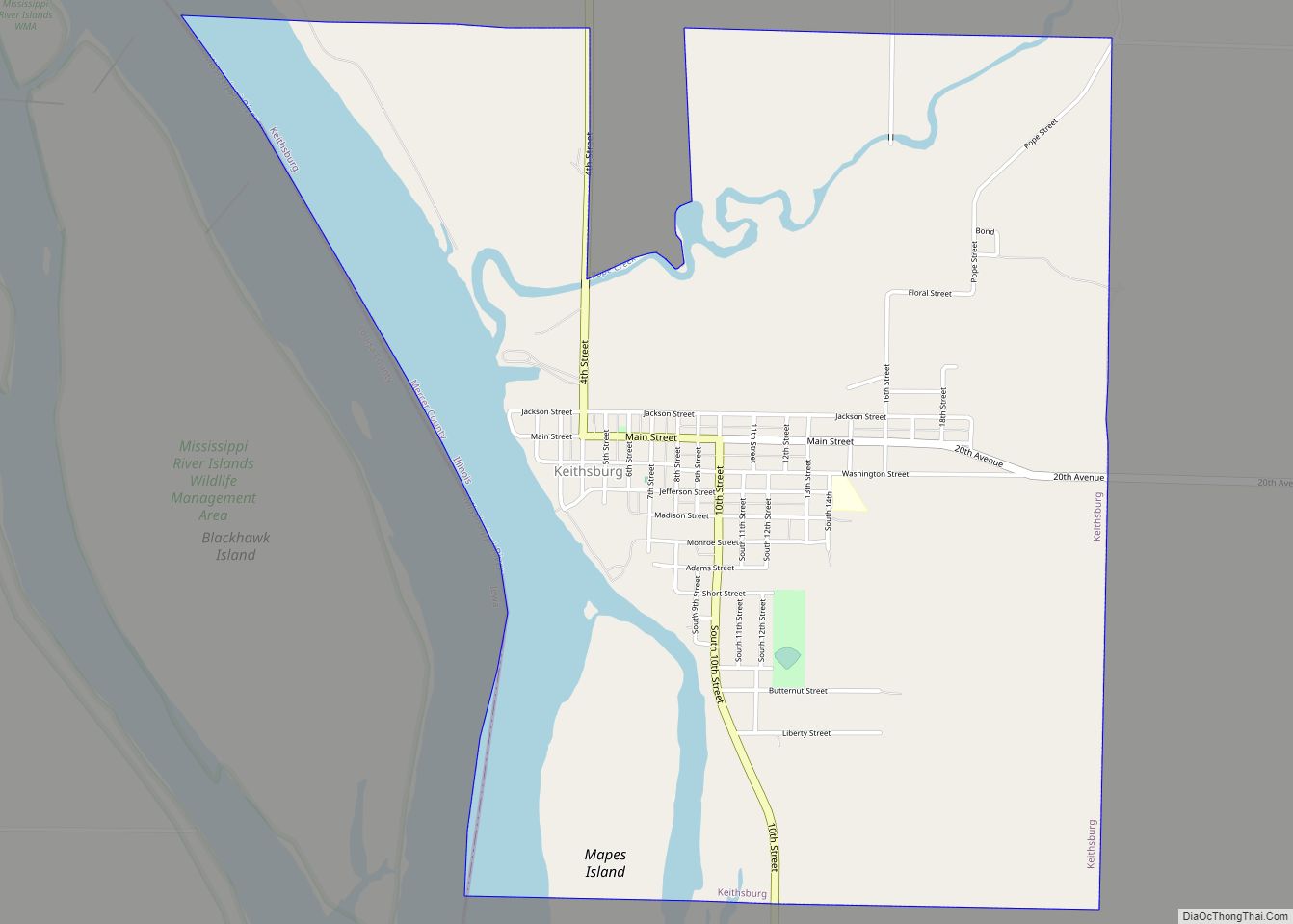
Keithsburg is a city in Mercer County, Illinois, United States, on the Mississippi River. The population was 550 at the 2020 census, down from 609 in 2010. It was named for Robert Keith, a pioneer settler. Keithsburg city overview: Name: Keithsburg city LSAD Code: 25 LSAD Description: city (suffix) State: Illinois County: Mercer County Elevation: ... Read more
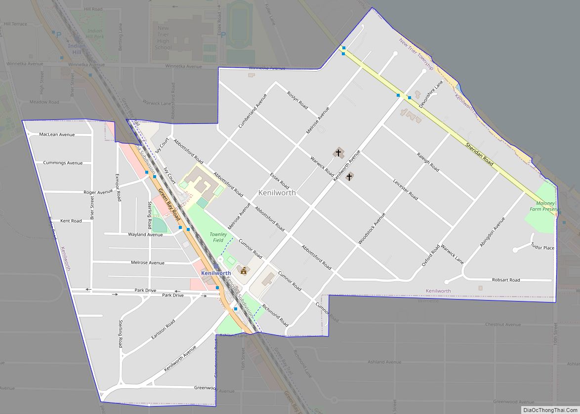
Kenilworth is a village in Cook County, Illinois, United States, 15 miles (24 km) north of downtown Chicago. As of the 2020 census it had a population of 2,514. It is the newest of the nine suburban North Shore communities bordering Lake Michigan, and is one of those developed as a planned community. In 2018, Kenilworth ... Read more
