Kankakee /ˌkæŋkəˈkiː/ is a city in and the county seat of Kankakee County, Illinois, United States. As of 2020, the city’s population was 24,052. Kankakee is a principal city of the Kankakee-Bourbonnais-Bradley Metropolitan Statistical Area. It serves as an anchor city in the rural plains outside Chicago, similar to Aurora and Joliet.
| Name: | Kankakee city |
|---|---|
| LSAD Code: | 25 |
| LSAD Description: | city (suffix) |
| State: | Illinois |
| County: | Kankakee County |
| Elevation: | 656 ft (200 m) |
| Total Area: | 15.62 sq mi (40.44 km²) |
| Land Area: | 15.14 sq mi (39.20 km²) |
| Water Area: | 0.48 sq mi (1.24 km²) |
| Total Population: | 24,052 |
| Population Density: | 1,588.95/sq mi (613.51/km²) |
| ZIP code: | 60901 |
| FIPS code: | 1738934 |
| GNISfeature ID: | 411300 |
| Website: | www.citykankakee-il.gov |
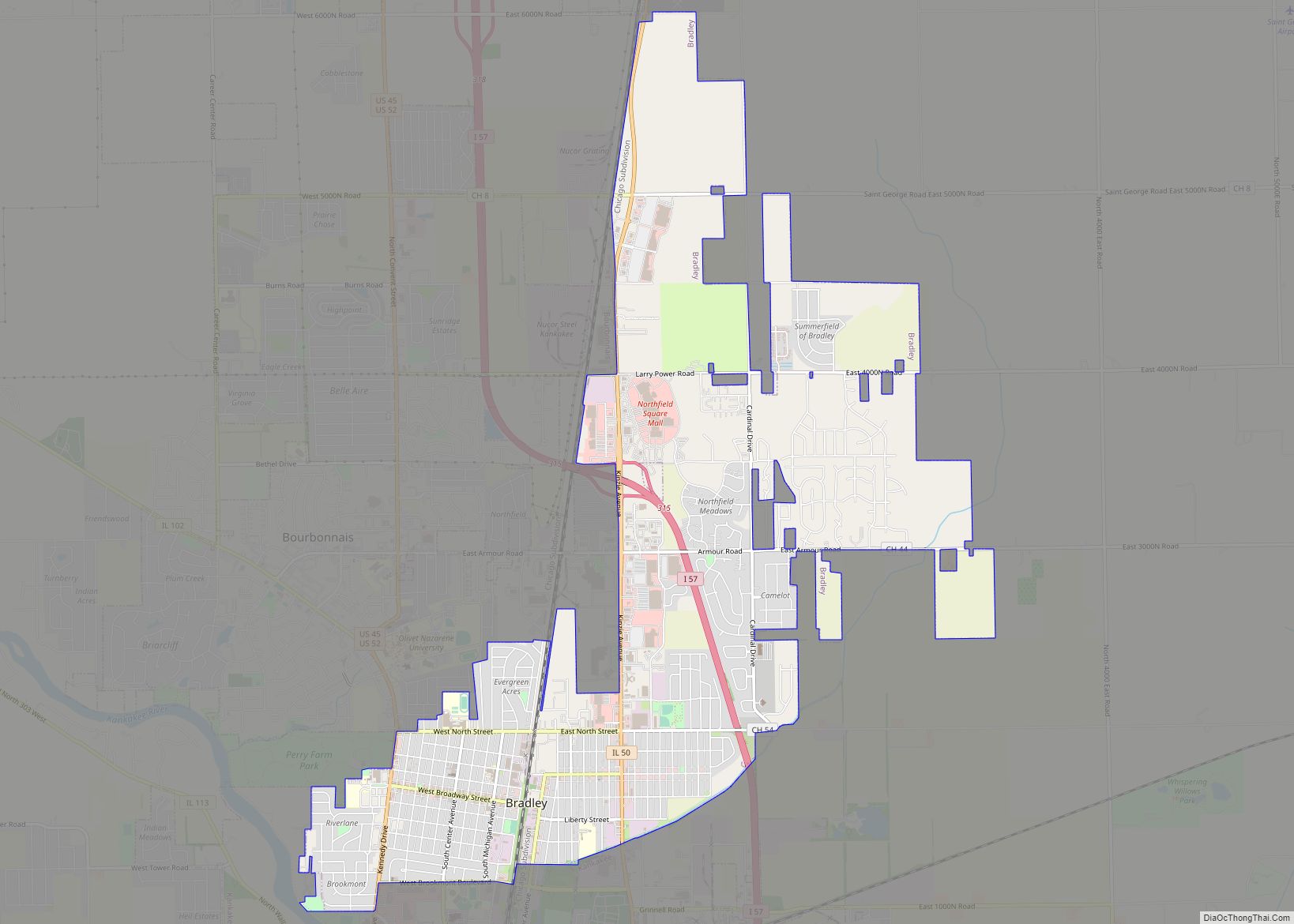
Online Interactive Map
Click on ![]() to view map in "full screen" mode.
to view map in "full screen" mode.
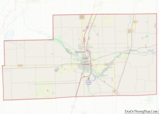
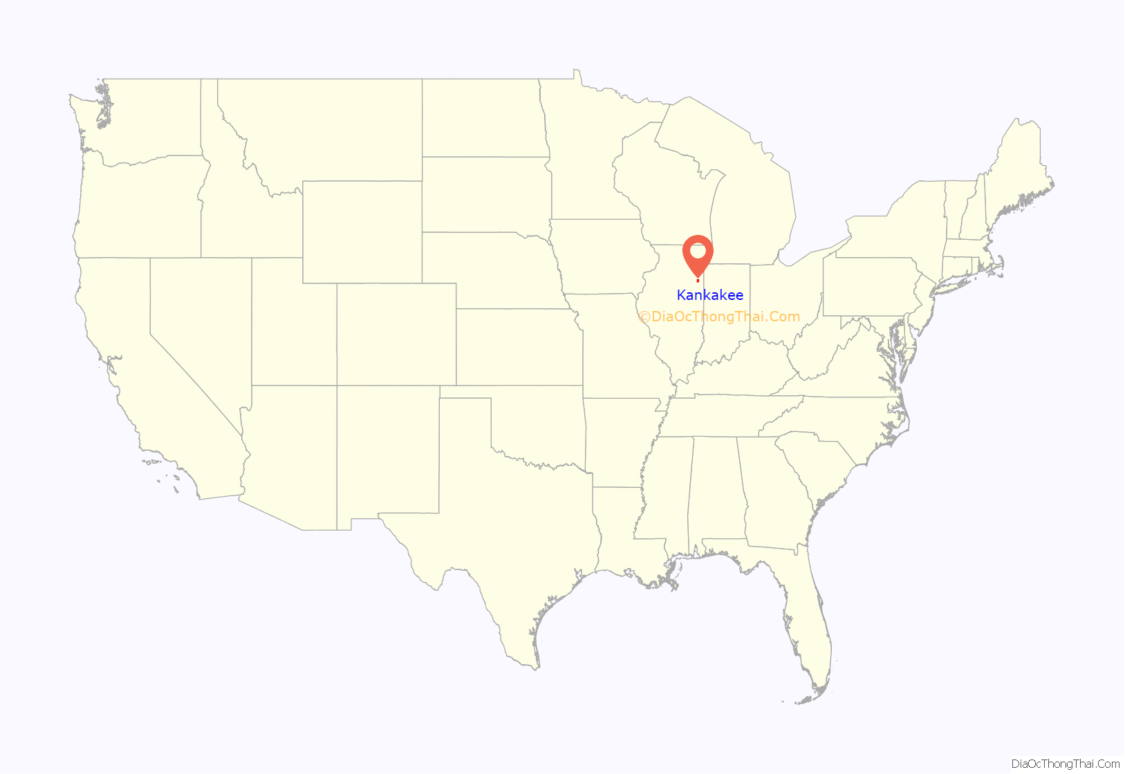
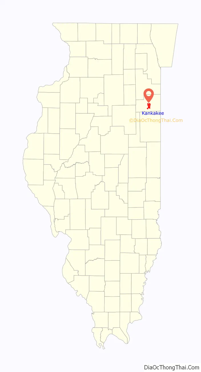
Kankakee location map. Where is Kankakee city?
History
The city’s name is probably derived from a corrupted version of the Miami-Illinois word teeyaahkiki, meaning: “Open country/exposed land/land in open/land exposed to view”, in reference to the area’s prior status as a marsh. Kankakee was founded in 1854.
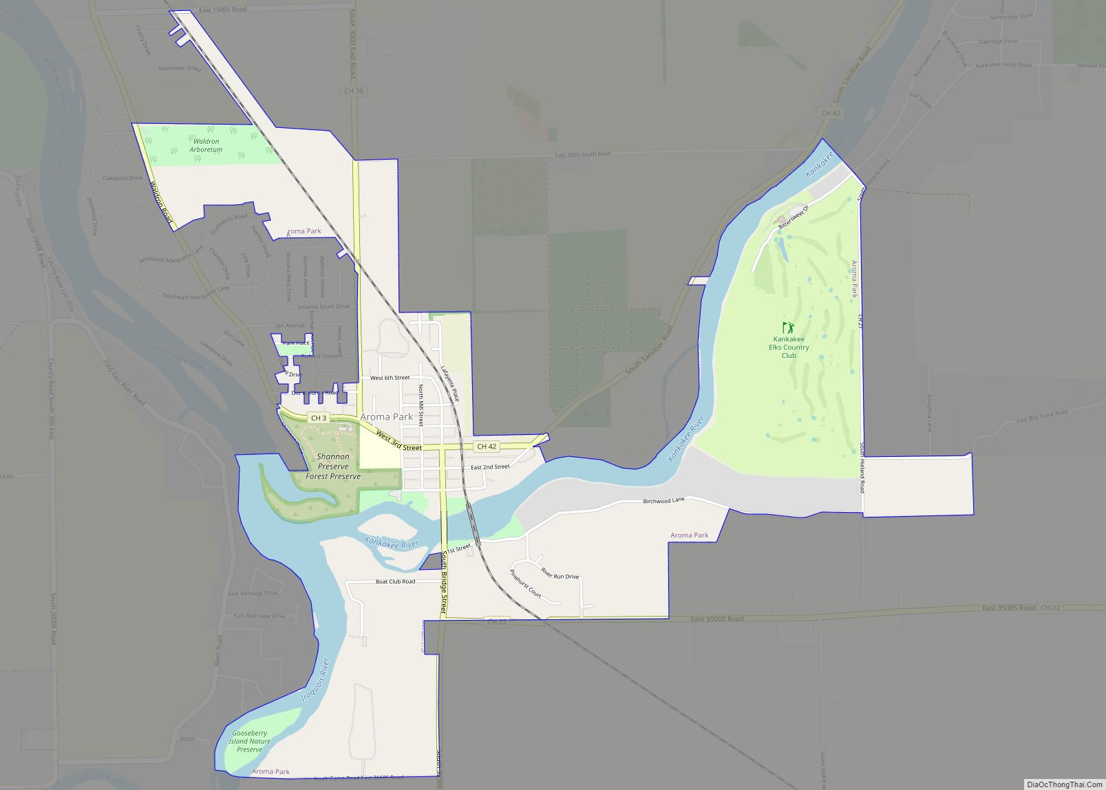
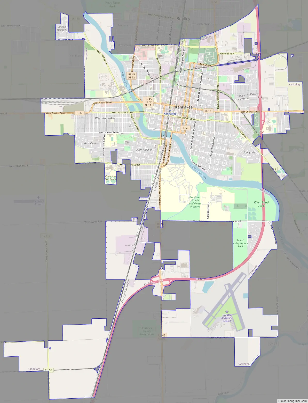
Kankakee Road Map
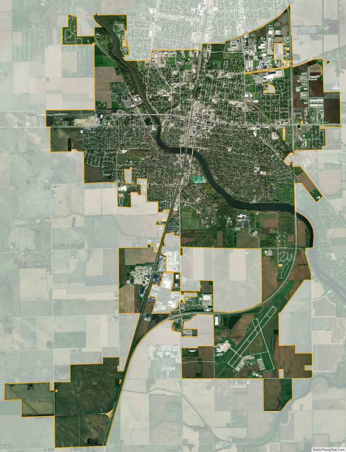
Kankakee city Satellite Map
Geography
According to the 2010 census, Kankakee has a total area of 14.62 square miles (37.87 km), of which 14.14 square miles (36.62 km) (or 96.72%) is land and 0.48 square miles (1.24 km) (or 3.28%) is water.
The Kankakee River runs through Kankakee. It is approximately 133 miles long and serves as a major attraction and defining landmark of Kankakee. The river water is refined at the Kankakee water company, and electricity is generated at the Kankakee River Dam, providing vital resources to the community. Its winding path, including inlets and eddies, creates desirable fishing conditions for outdoor enthusiasts.
Climate
See also
Map of Illinois State and its subdivision:- Adams
- Alexander
- Bond
- Boone
- Brown
- Bureau
- Calhoun
- Carroll
- Cass
- Champaign
- Christian
- Clark
- Clay
- Clinton
- Coles
- Cook
- Crawford
- Cumberland
- De Kalb
- De Witt
- Douglas
- Dupage
- Edgar
- Edwards
- Effingham
- Fayette
- Ford
- Franklin
- Fulton
- Gallatin
- Greene
- Grundy
- Hamilton
- Hancock
- Hardin
- Henderson
- Henry
- Iroquois
- Jackson
- Jasper
- Jefferson
- Jersey
- Jo Daviess
- Johnson
- Kane
- Kankakee
- Kendall
- Knox
- La Salle
- Lake
- Lake Michigan
- Lawrence
- Lee
- Livingston
- Logan
- Macon
- Macoupin
- Madison
- Marion
- Marshall
- Mason
- Massac
- McDonough
- McHenry
- McLean
- Menard
- Mercer
- Monroe
- Montgomery
- Morgan
- Moultrie
- Ogle
- Peoria
- Perry
- Piatt
- Pike
- Pope
- Pulaski
- Putnam
- Randolph
- Richland
- Rock Island
- Saint Clair
- Saline
- Sangamon
- Schuyler
- Scott
- Shelby
- Stark
- Stephenson
- Tazewell
- Union
- Vermilion
- Wabash
- Warren
- Washington
- Wayne
- White
- Whiteside
- Will
- Williamson
- Winnebago
- Woodford
- Alabama
- Alaska
- Arizona
- Arkansas
- California
- Colorado
- Connecticut
- Delaware
- District of Columbia
- Florida
- Georgia
- Hawaii
- Idaho
- Illinois
- Indiana
- Iowa
- Kansas
- Kentucky
- Louisiana
- Maine
- Maryland
- Massachusetts
- Michigan
- Minnesota
- Mississippi
- Missouri
- Montana
- Nebraska
- Nevada
- New Hampshire
- New Jersey
- New Mexico
- New York
- North Carolina
- North Dakota
- Ohio
- Oklahoma
- Oregon
- Pennsylvania
- Rhode Island
- South Carolina
- South Dakota
- Tennessee
- Texas
- Utah
- Vermont
- Virginia
- Washington
- West Virginia
- Wisconsin
- Wyoming