Assumption is a city in Christian County, Illinois, United States. The population was 1,155 as of the 2020 census. Assumption city overview: Name: Assumption city LSAD Code: 25 LSAD Description: city (suffix) State: Illinois County: Christian County Elevation: 640 ft (200 m) Total Area: 0.99 sq mi (2.56 km²) Land Area: 0.99 sq mi (2.56 km²) Water Area: 0.00 sq mi (0.00 km²) Total Population: 1,155 ... Read more
Illinois Cities and Places
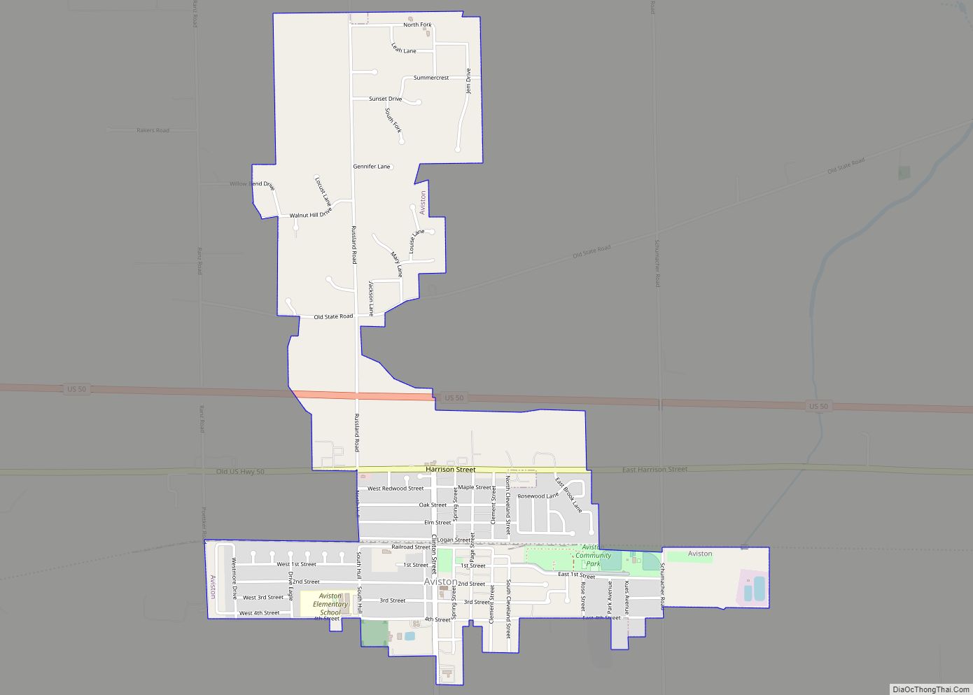
Aviston is a village in Clinton County, Illinois, United States. The population was 2,340 at the 2020 census, up from 1,945 at the 2010 census. Aviston village overview: Name: Aviston village LSAD Code: 47 LSAD Description: village (suffix) State: Illinois County: Clinton County Elevation: 466 ft (142 m) Total Area: 1.60 sq mi (4.14 km²) Land Area: 1.60 sq mi (4.14 km²) Water ... Read more
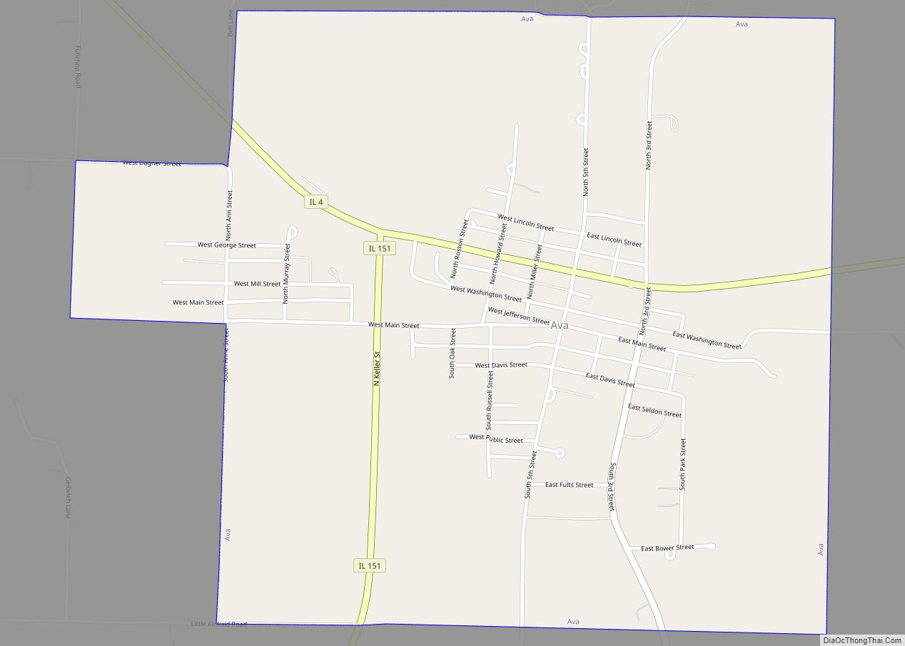
Ava is a city in northwest Jackson County, Illinois, United States. The population was 654 at the 2010 census. Ava city overview: Name: Ava city LSAD Code: 25 LSAD Description: city (suffix) State: Illinois County: Jackson County Elevation: 610 ft (190 m) Total Area: 1.07 sq mi (2.76 km²) Land Area: 1.06 sq mi (2.74 km²) Water Area: 0.01 sq mi (0.02 km²) Total Population: 553 ... Read more
Augusta is a village in southeast Hancock County, Illinois, United States. The population was 587 at the 2010 census, down from 657 at the 2000 census. It is located near Weinberg-King State Park. Augusta village overview: Name: Augusta village LSAD Code: 47 LSAD Description: village (suffix) State: Illinois County: Hancock County Elevation: 666 ft (203 m) Total ... Read more
Auburn is a city in Sangamon County, Illinois, United States. The population was 4,771 at the 2010 census, and 4,681 in 2018. It is part of the Springfield, Illinois Metropolitan Statistical Area. Auburn city overview: Name: Auburn city LSAD Code: 25 LSAD Description: city (suffix) State: Illinois County: Sangamon County Elevation: 610 ft (190 m) Total Area: ... Read more
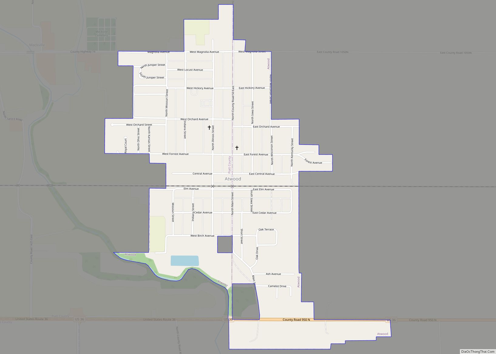
Atwood is a village in Douglas and Piatt counties in Illinois, United States. Main Street runs along the county line with Douglas County to the east and Piatt County to the west. The population was 1,116 at the 2020 census. Atwood village overview: Name: Atwood village LSAD Code: 47 LSAD Description: village (suffix) State: Illinois ... Read more
Atlanta (formerly Xenia) is a city in Logan County, Illinois, United States. The population was 1,692 at the 2010 census. Atlanta city overview: Name: Atlanta city LSAD Code: 25 LSAD Description: city (suffix) State: Illinois County: Logan County Elevation: 719 ft (219 m) Total Area: 1.26 sq mi (3.26 km²) Land Area: 1.25 sq mi (3.24 km²) Water Area: 0.01 sq mi (0.02 km²) Total Population: ... Read more
Bartlett is a village located in Cook, DuPage and Kane counties, Illinois. A small parcel on the western border is in Kane County. The population was 41,105 at the 2020 census. Bartlett village overview: Name: Bartlett village LSAD Code: 47 LSAD Description: village (suffix) State: Illinois County: Cook County, DuPage County, Kane County Incorporated: 1891 ... Read more
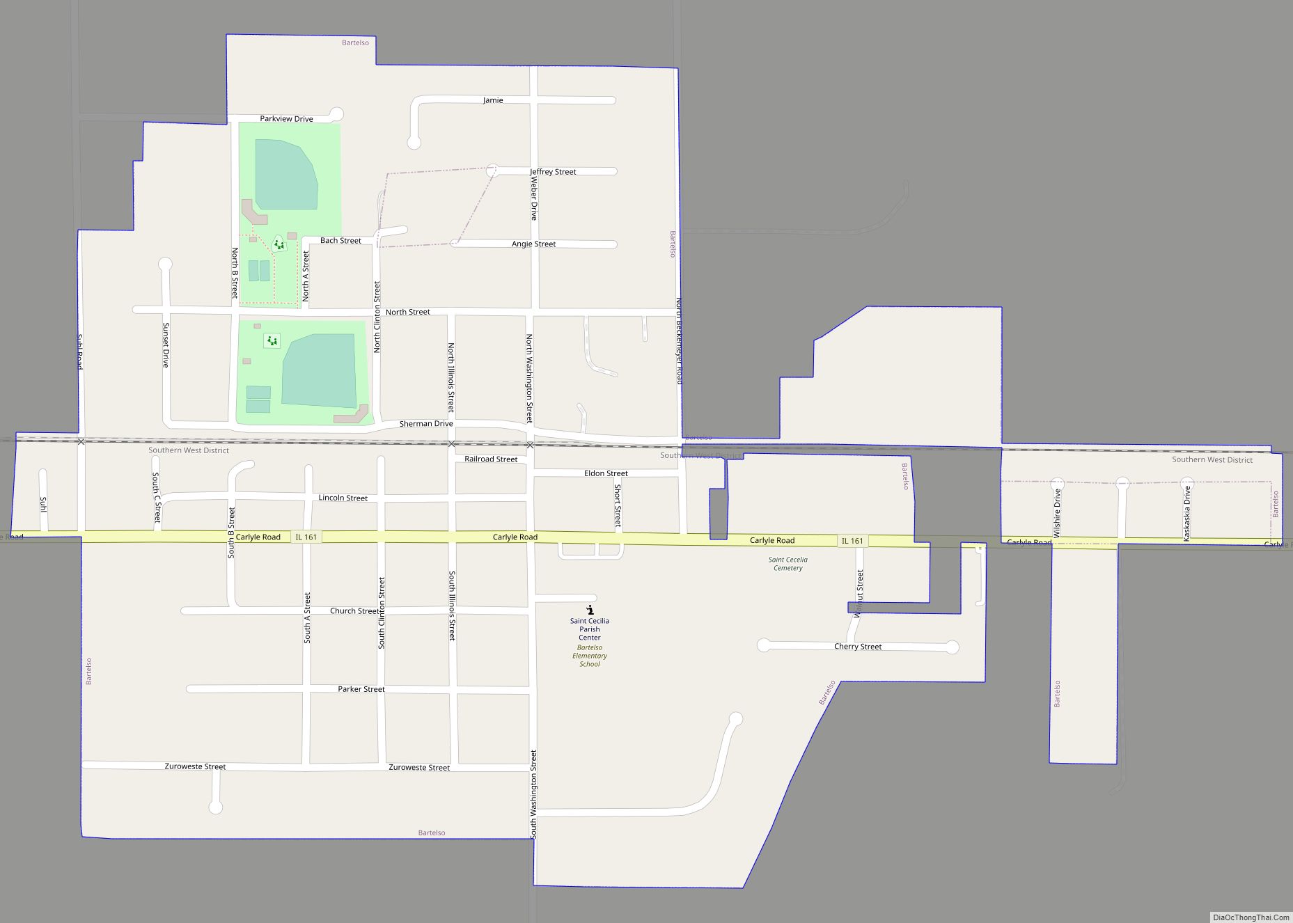
Bartelso is a village in Clinton County, Illinois, United States. The population was 635 at the 2020 census, up from 595 at the 2010 census. Bartelso village overview: Name: Bartelso village LSAD Code: 47 LSAD Description: village (suffix) State: Illinois County: Clinton County Elevation: 449 ft (137 m) Total Area: 0.66 sq mi (1.70 km²) Land Area: 0.66 sq mi (1.70 km²) Water ... Read more
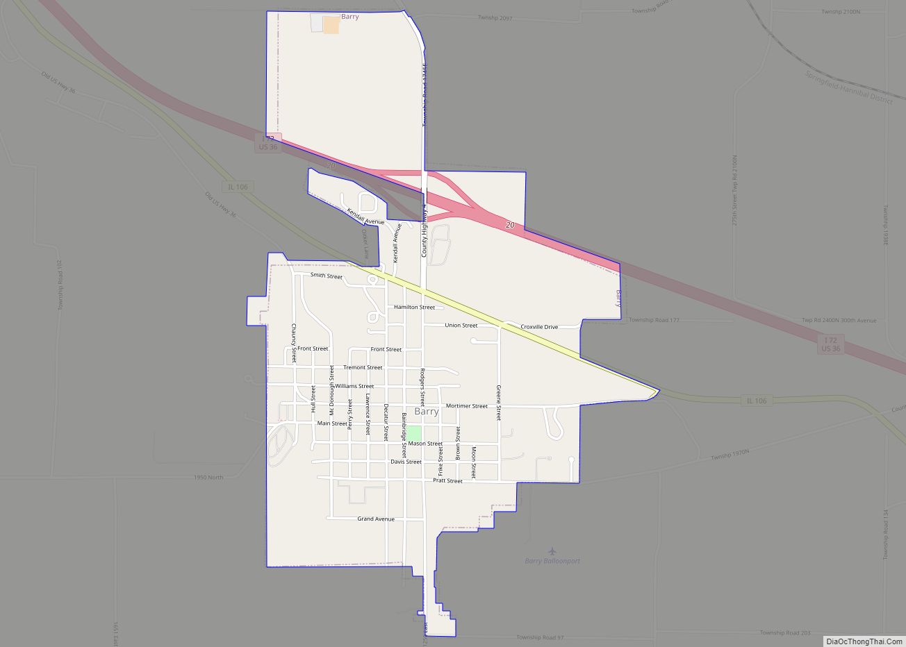
Barry (formerly Worcester) is a city in Pike County, Illinois, United States. The population was 1,318 at the 2010 census, down from 1,368 in 2000. Barry city overview: Name: Barry city LSAD Code: 25 LSAD Description: city (suffix) State: Illinois County: Pike County Elevation: 673 ft (205 m) Total Area: 1.43 sq mi (3.71 km²) Land Area: 1.43 sq mi (3.71 km²) Water ... Read more
Barrington is a village in Cook County and Lake County, Illinois, United States. The population was 10,722 at the 2020 census. A northwest suburb of Chicago, the area features wetlands, forest preserves, parks, and horse trails in a country-suburban setting. Barrington is part of the Chicago metropolitan area and serves as the hub of activity ... Read more
Barrington Hills is a village located about 40 miles (64 km) northwest of Chicago in the U.S. state of Illinois. Per the 2020 census, the population was 4,114. It straddles approximately 29 square miles (75 km) over four counties, Cook, Kane, Lake, and McHenry. The Village of Barrington Hills was incorporated in 1957. The suburban village is ... Read more

