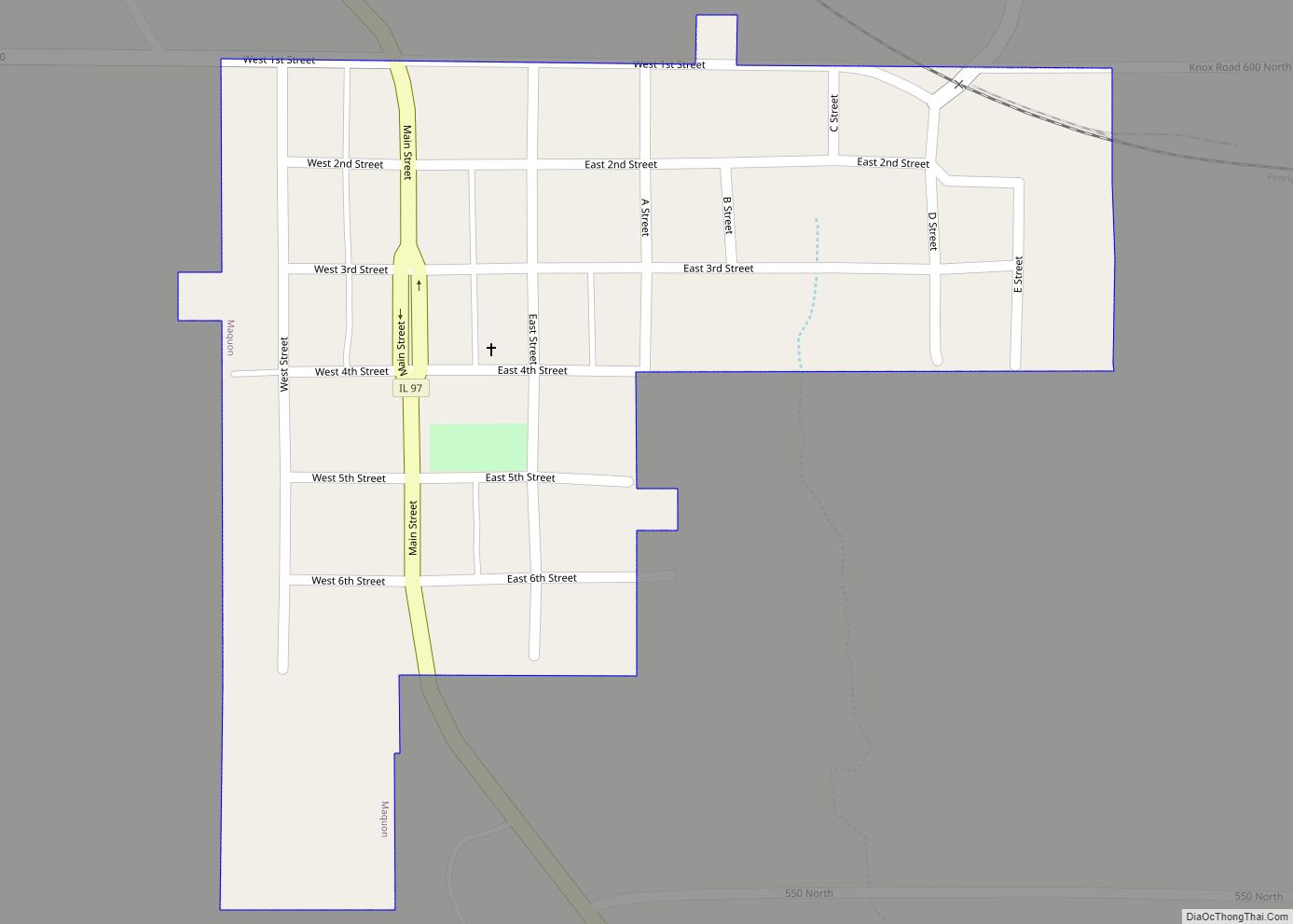
Maquon is a village in Knox County, Illinois, United States. The population was 218 at the 2020 census. It is part of the Galesburg Micropolitan Statistical Area. Maquon village overview: Name: Maquon village LSAD Code: 47 LSAD Description: village (suffix) State: Illinois County: Knox County Elevation: 623 ft (190 m) Total Area: 0.16 sq mi (0.42 km²) Land Area: 0.16 sq mi ... Read more
Illinois Cities and Places
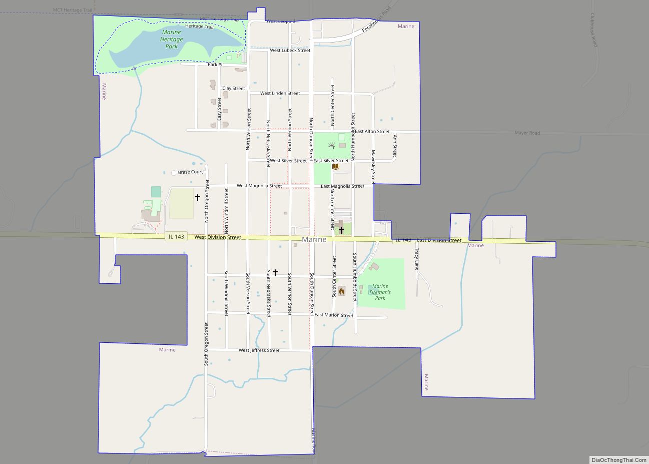
Marine is a village in Madison County, Illinois, United States. The population was 912 at the 2020 census. Marine village overview: Name: Marine village LSAD Code: 47 LSAD Description: village (suffix) State: Illinois County: Madison County Elevation: 522 ft (159 m) Total Area: 0.70 sq mi (1.83 km²) Land Area: 0.70 sq mi (1.83 km²) Water Area: 0.00 sq mi (0.00 km²) Total Population: 912 Population ... Read more
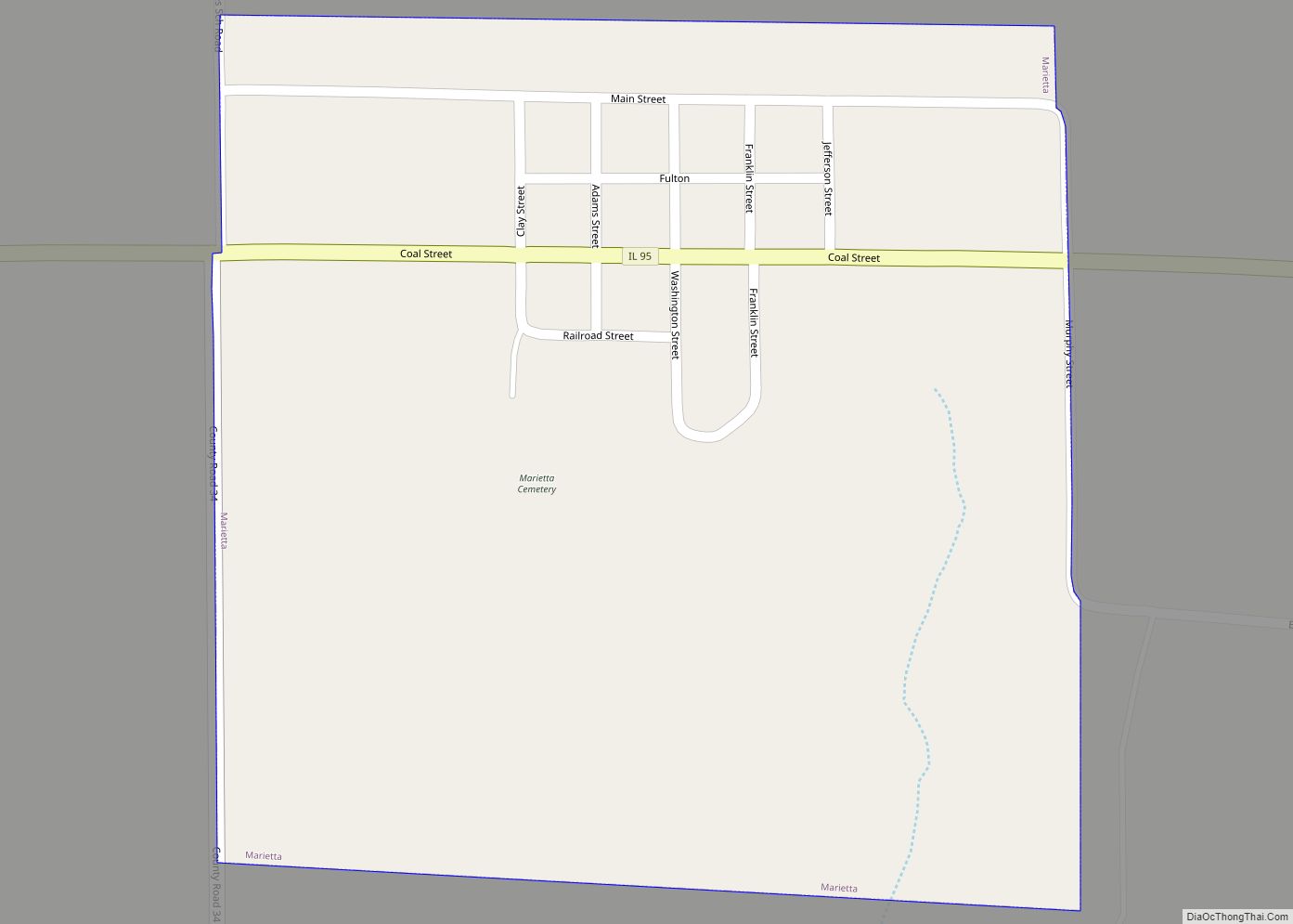
Marietta is a village in Fulton County, Illinois, United States. The population was 112 at the 2010 census, down from 150 at the 2000 census. Marietta village overview: Name: Marietta village LSAD Code: 47 LSAD Description: village (suffix) State: Illinois County: Fulton County Elevation: 637 ft (194 m) Total Area: 0.27 sq mi (0.71 km²) Land Area: 0.27 sq mi (0.71 km²) Water ... Read more
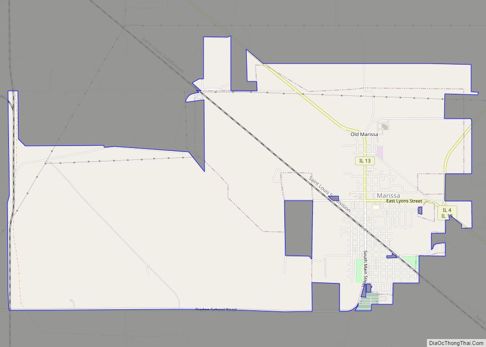
Marissa is a village in St. Clair County, Illinois, United States. The population was 1,979 at the 2010 census. Marissa village overview: Name: Marissa village LSAD Code: 47 LSAD Description: village (suffix) State: Illinois County: St. Clair County Elevation: 413 ft (126 m) Total Area: 7.94 sq mi (20.57 km²) Land Area: 7.21 sq mi (18.68 km²) Water Area: 0.73 sq mi (1.88 km²) Total Population: ... Read more
Marion is a city in Williamson and Johnson Counties, Illinois, United States, and is the county seat of Williamson County. The population was 16,855 at the 2020 census. It is part of a dispersed urban area that developed out of the early 20th-century coal fields. Today Marion serves as the largest retail trade center in ... Read more
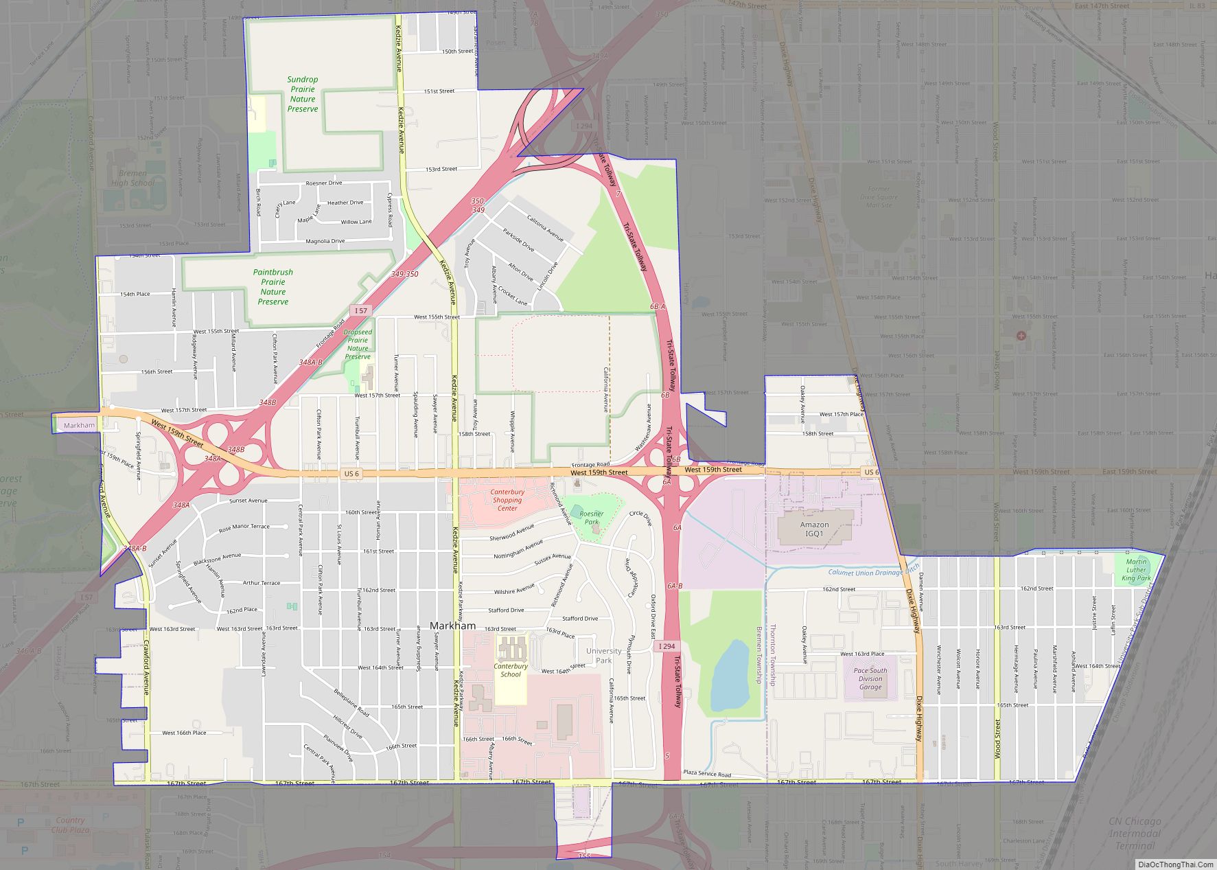
Markham is a city and a south suburb of Chicago in Cook County, Illinois, United States. The population was 11,661 at the 2020 census. Markham city overview: Name: Markham city LSAD Code: 25 LSAD Description: city (suffix) State: Illinois County: Cook County Incorporated: 1925 Total Area: 5.41 sq mi (14.00 km²) Land Area: 5.41 sq mi (14.00 km²) Water Area: 0.00 sq mi ... Read more
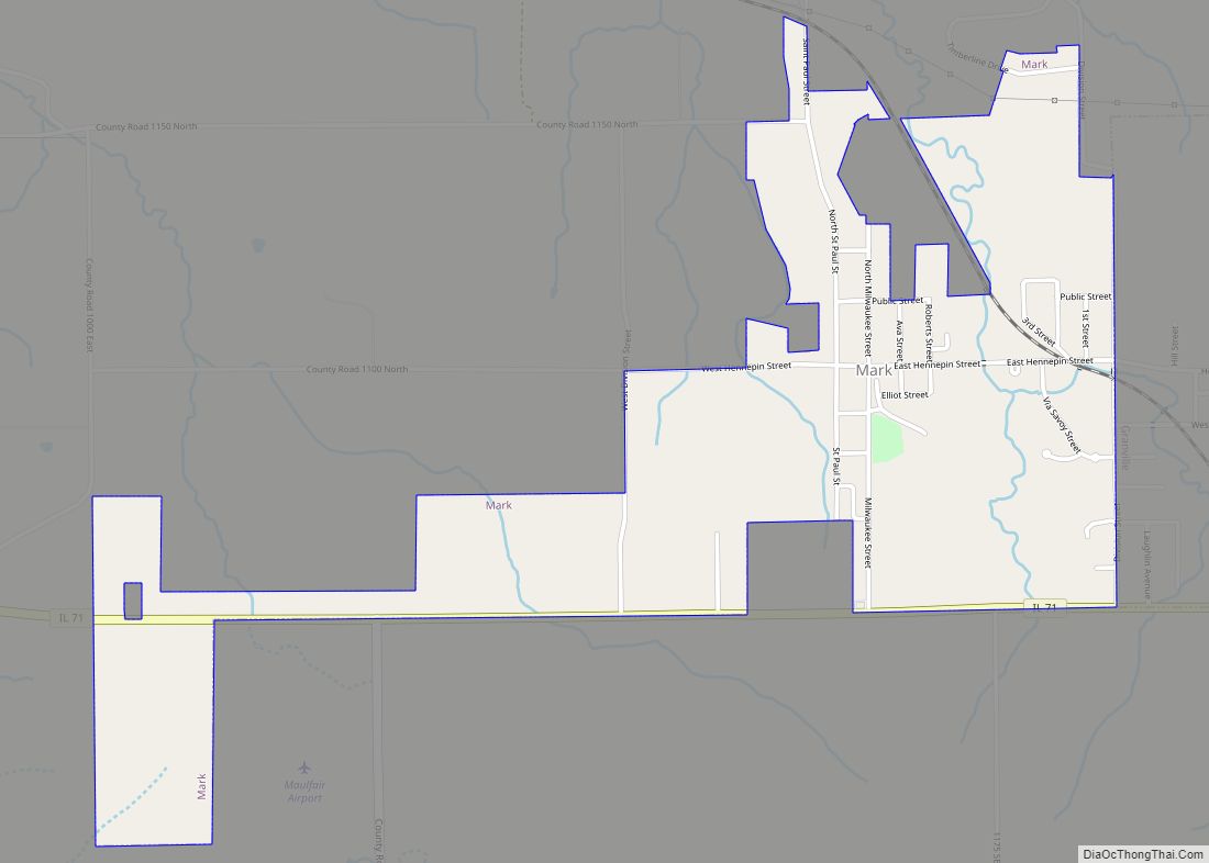
Mark is a village in Putnam County, Illinois, United States. The population was 555 at the 2010 census, up from 491 in 2000. It is part of the Ottawa Micropolitan Statistical Area. It maintains close ties to neighboring Granville, Illinois. Mark village overview: Name: Mark village LSAD Code: 47 LSAD Description: village (suffix) State: Illinois ... Read more
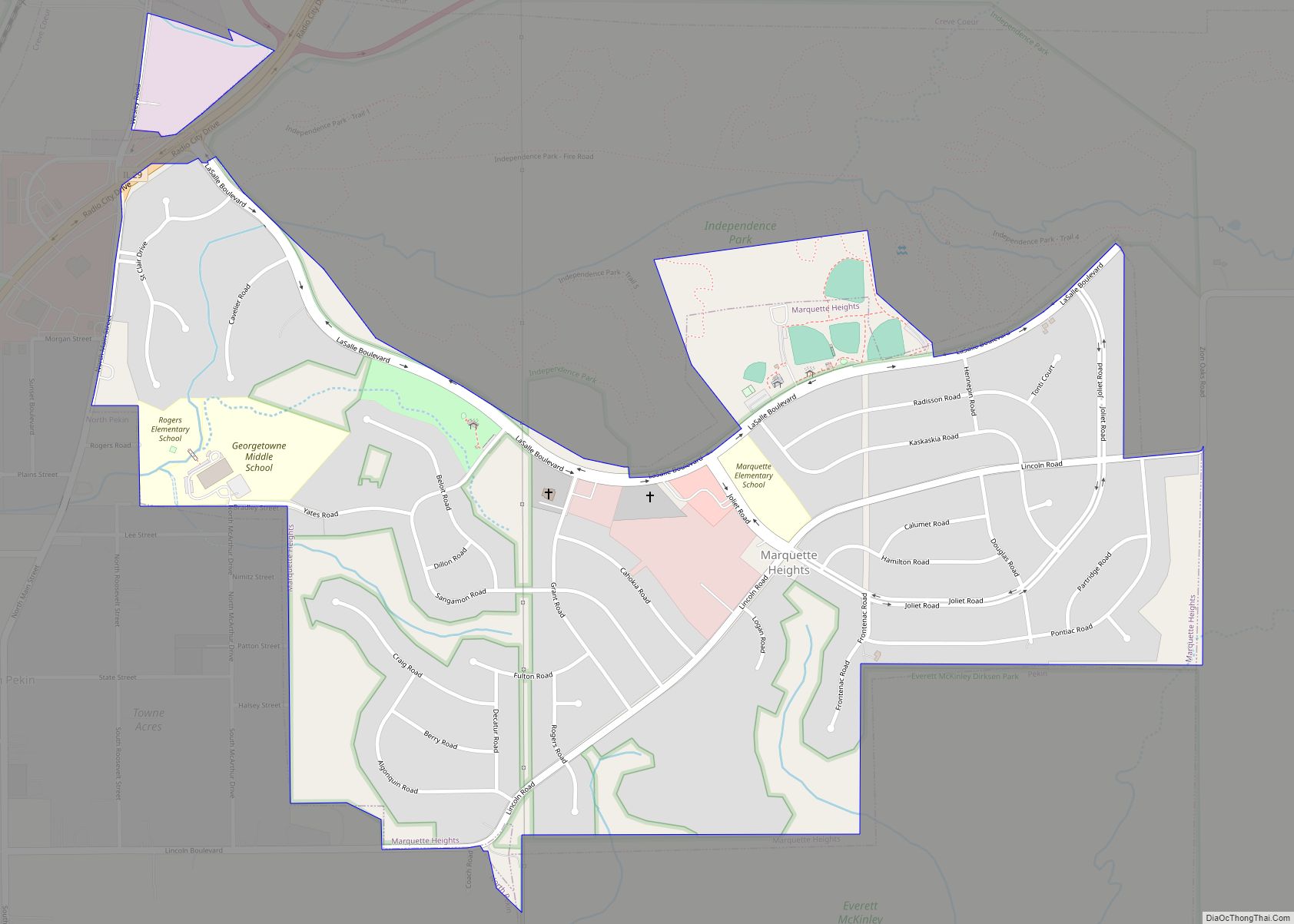
Marquette Heights is a city in Tazewell County, Illinois, United States. The population was 2,824 at the 2010 census. Marquette Heights is a suburb of Peoria and is part of the Peoria, Illinois Metropolitan Statistical Area. Marquette Heights city overview: Name: Marquette Heights city LSAD Code: 25 LSAD Description: city (suffix) State: Illinois County: Tazewell ... Read more
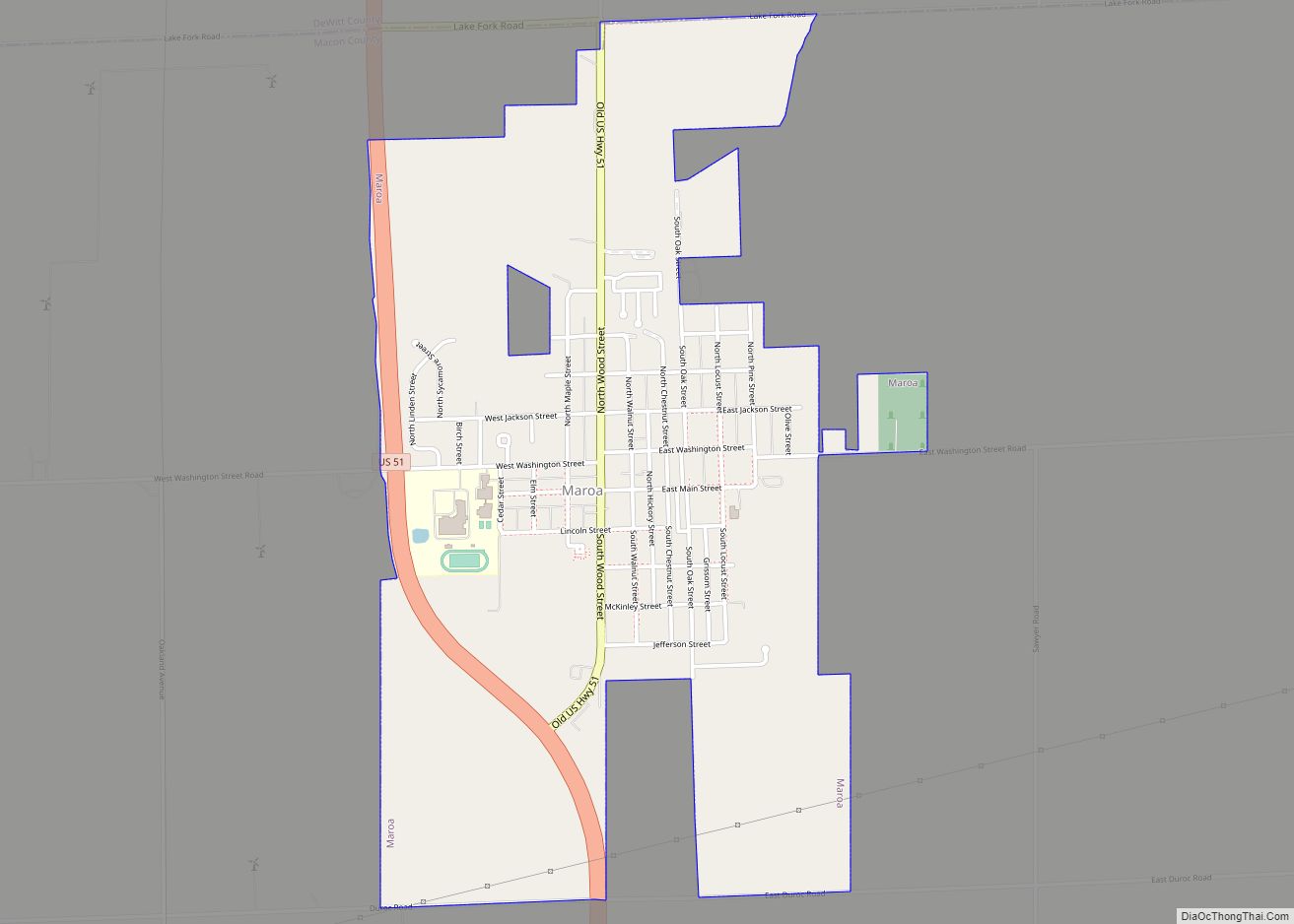
Maroa is a city in Macon County, Illinois, United States. Its population was 1,577 at the 2020 census, down from 1,801 in 2010. It is included in the Decatur, Illinois Metropolitan Statistical Area. Maroa city overview: Name: Maroa city LSAD Code: 25 LSAD Description: city (suffix) State: Illinois County: Macon County Elevation: 718 ft (219 m) Total ... Read more
Marshall is a city in and the county seat of Clark County, Illinois, United States, located approximately 20 miles (32 km) west of Terre Haute, Indiana. The population was 3,947 at the 2020 census. Marshall city overview: Name: Marshall city LSAD Code: 25 LSAD Description: city (suffix) State: Illinois County: Clark County Founded: 1835 Elevation: 620 ft ... Read more
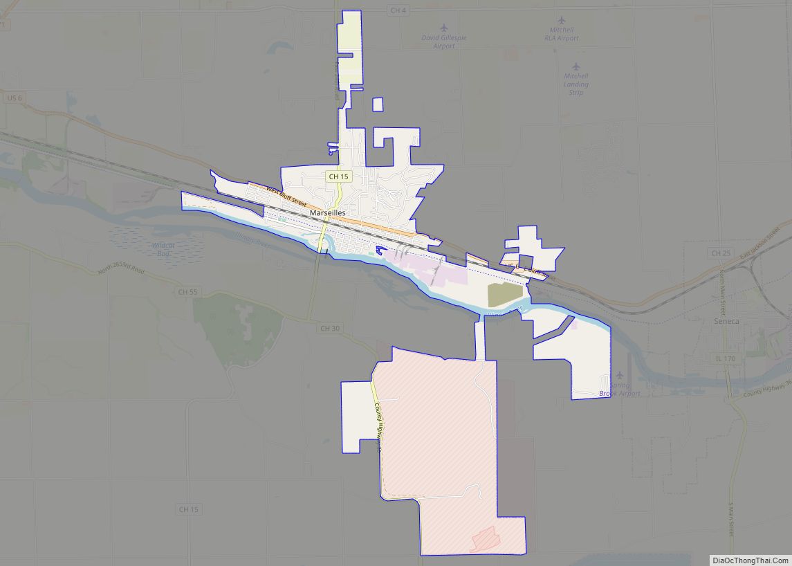
Marseilles (/mɑːrˈseɪlz/ mar-SAYLZ) is a city in LaSalle County, Illinois, United States. An Illinois River town, the population was 4,845 at the 2020 census, down from 5,094 at the 2010 census. It is part of the Ottawa, IL Micropolitan Statistical Area. Marseilles city overview: Name: Marseilles city LSAD Code: 25 LSAD Description: city (suffix) State: ... Read more
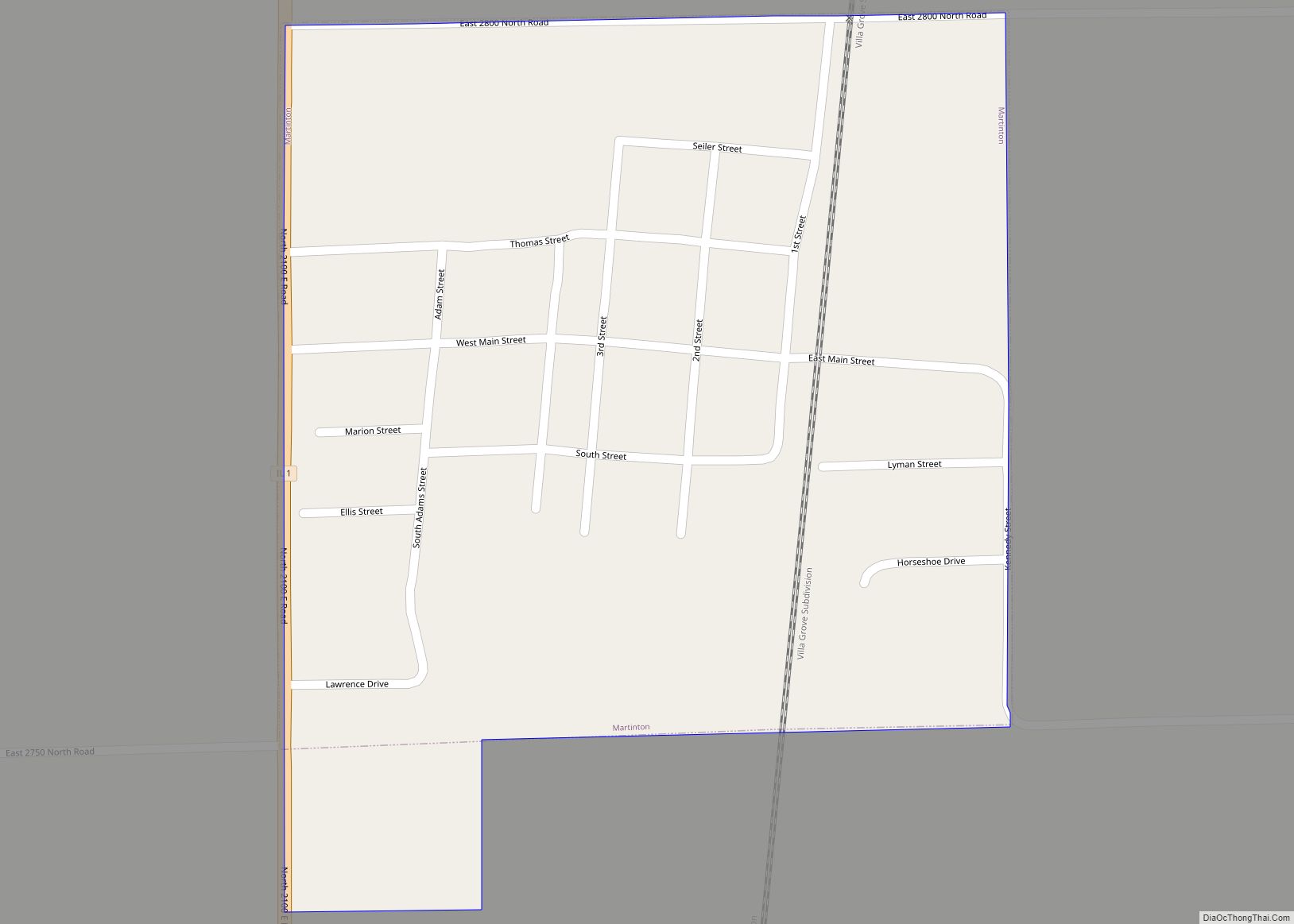
Martinton is a village in Martinton Township, Iroquois County, Illinois, United States. The population was 381 at the 2010 census. Martinton village overview: Name: Martinton village LSAD Code: 47 LSAD Description: village (suffix) State: Illinois County: Iroquois County Elevation: 627 ft (191 m) Total Area: 0.27 sq mi (0.71 km²) Land Area: 0.27 sq mi (0.71 km²) Water Area: 0.00 sq mi (0.00 km²) Total Population: ... Read more
