Marion is a city in Williamson and Johnson Counties, Illinois, United States, and is the county seat of Williamson County. The population was 16,855 at the 2020 census. It is part of a dispersed urban area that developed out of the early 20th-century coal fields.
Today Marion serves as the largest retail trade center in Southern Illinois with its central location along Interstate 57 and Illinois Route 13. It was dubbed the “Hub of the Universe” by former mayor Robert L. Butler.
The city is part of the Marion-Herrin Micropolitan Area and is a part of the Carbondale-Marion-Herrin, Illinois Combined Statistical Area with 123,272 residents, the sixth most populous Combined statistical area in Illinois.
| Name: | Marion city |
|---|---|
| LSAD Code: | 25 |
| LSAD Description: | city (suffix) |
| State: | Illinois |
| County: | Johnson County, Williamson County |
| Founded: | August 21, 1839 |
| Elevation: | 440 ft (130 m) |
| Total Area: | 14.62 sq mi (37.86 km²) |
| Land Area: | 14.40 sq mi (37.30 km²) |
| Water Area: | 0.22 sq mi (0.56 km²) 1.42% |
| Total Population: | 16,855 |
| Population Density: | 1,170.24/sq mi (451.83/km²) |
| ZIP code: | 62959 |
| Area code: | 618 |
| FIPS code: | 1746916 |
| GNISfeature ID: | 2395010 |
| Website: | cityofmarionil.gov |
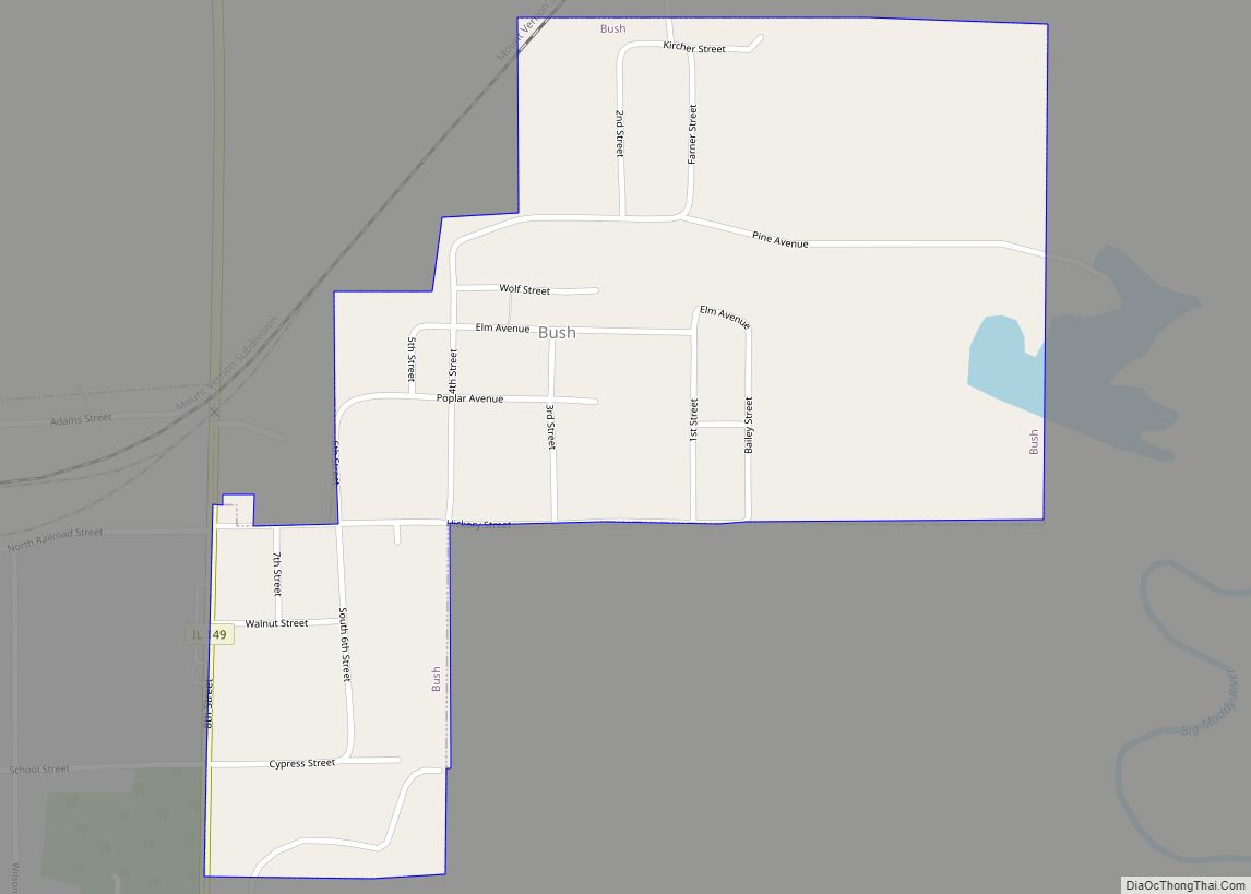
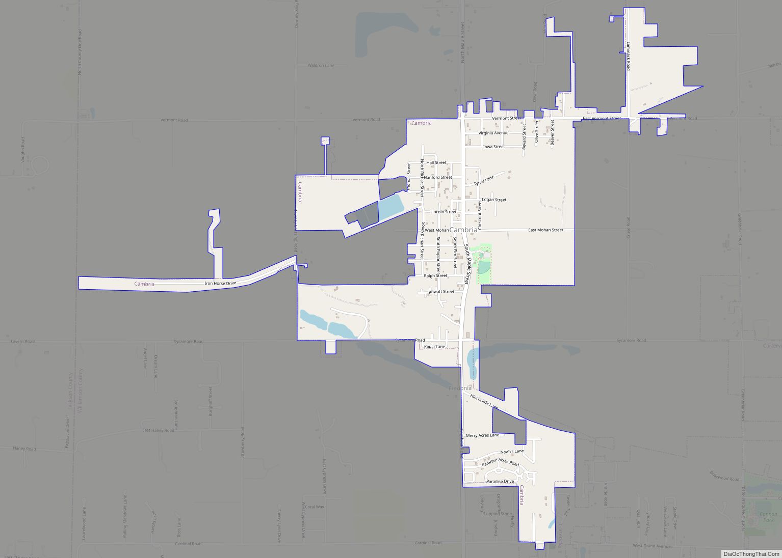
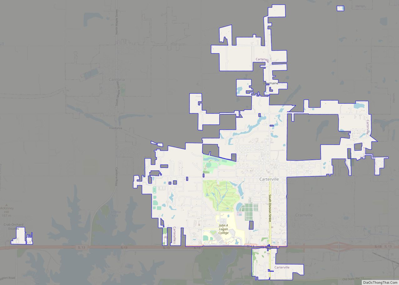
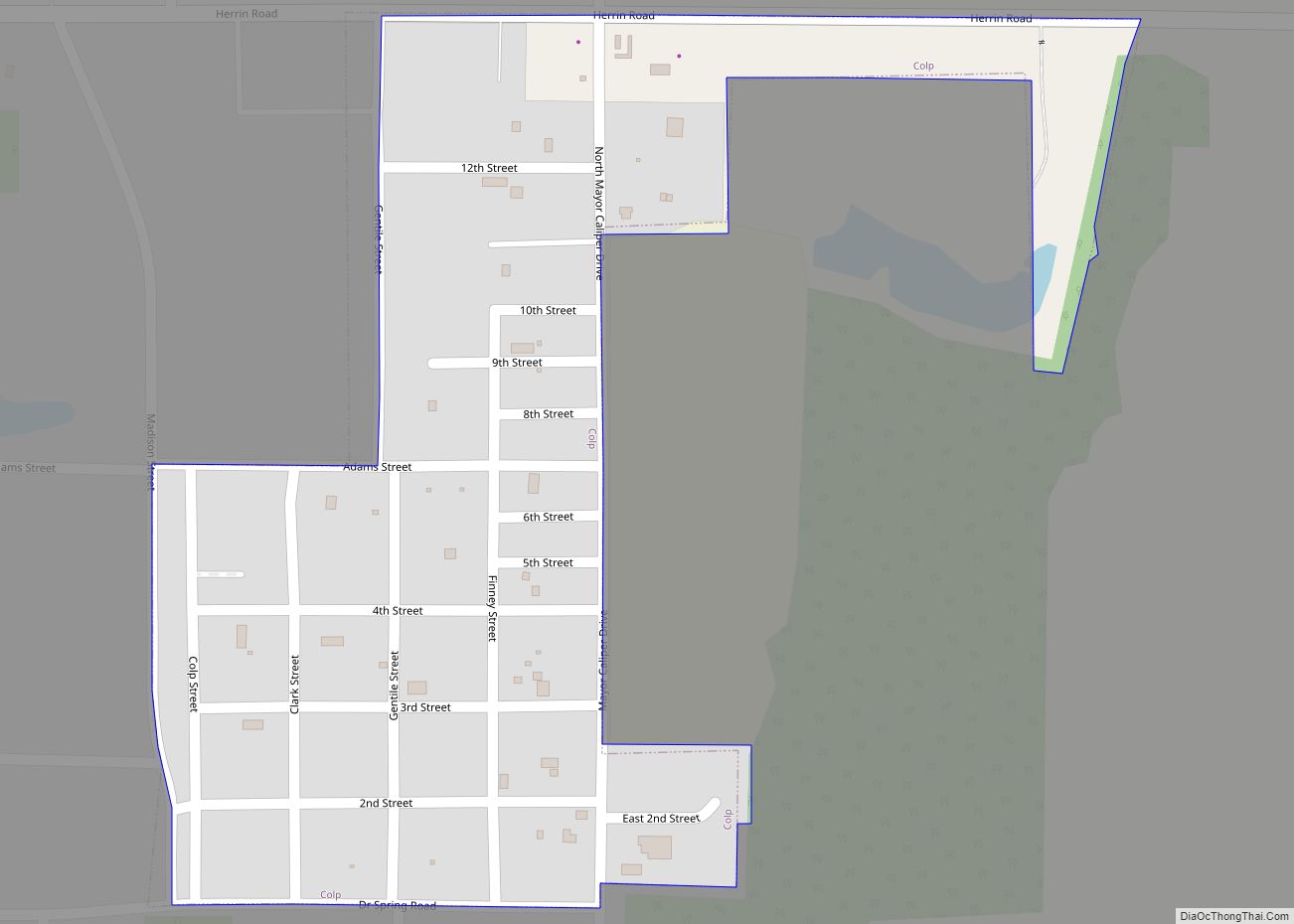
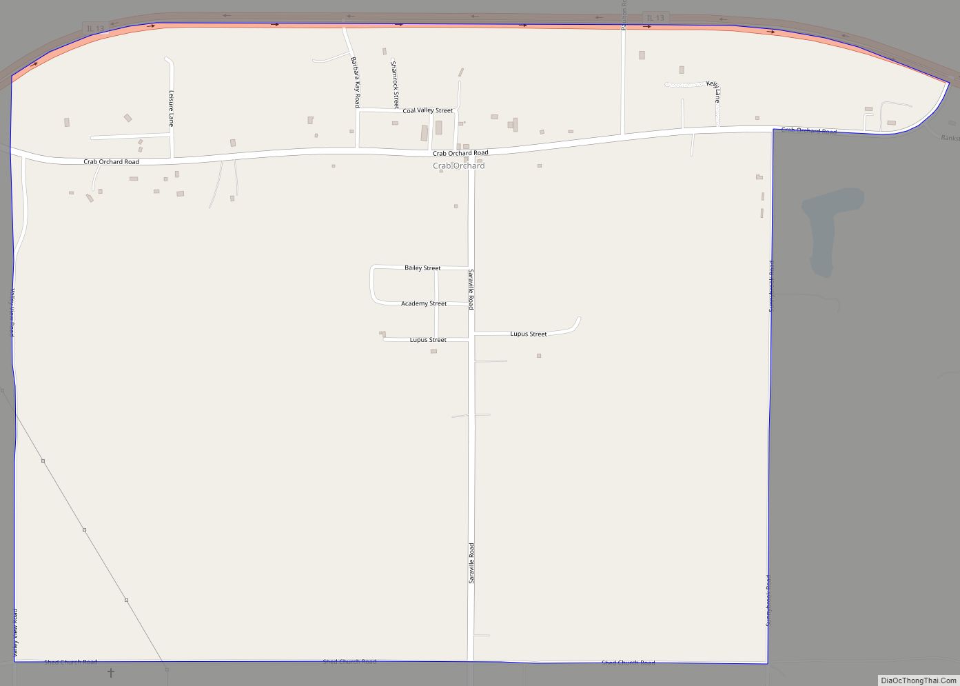
Online Interactive Map
Click on ![]() to view map in "full screen" mode.
to view map in "full screen" mode.
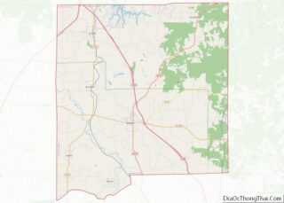
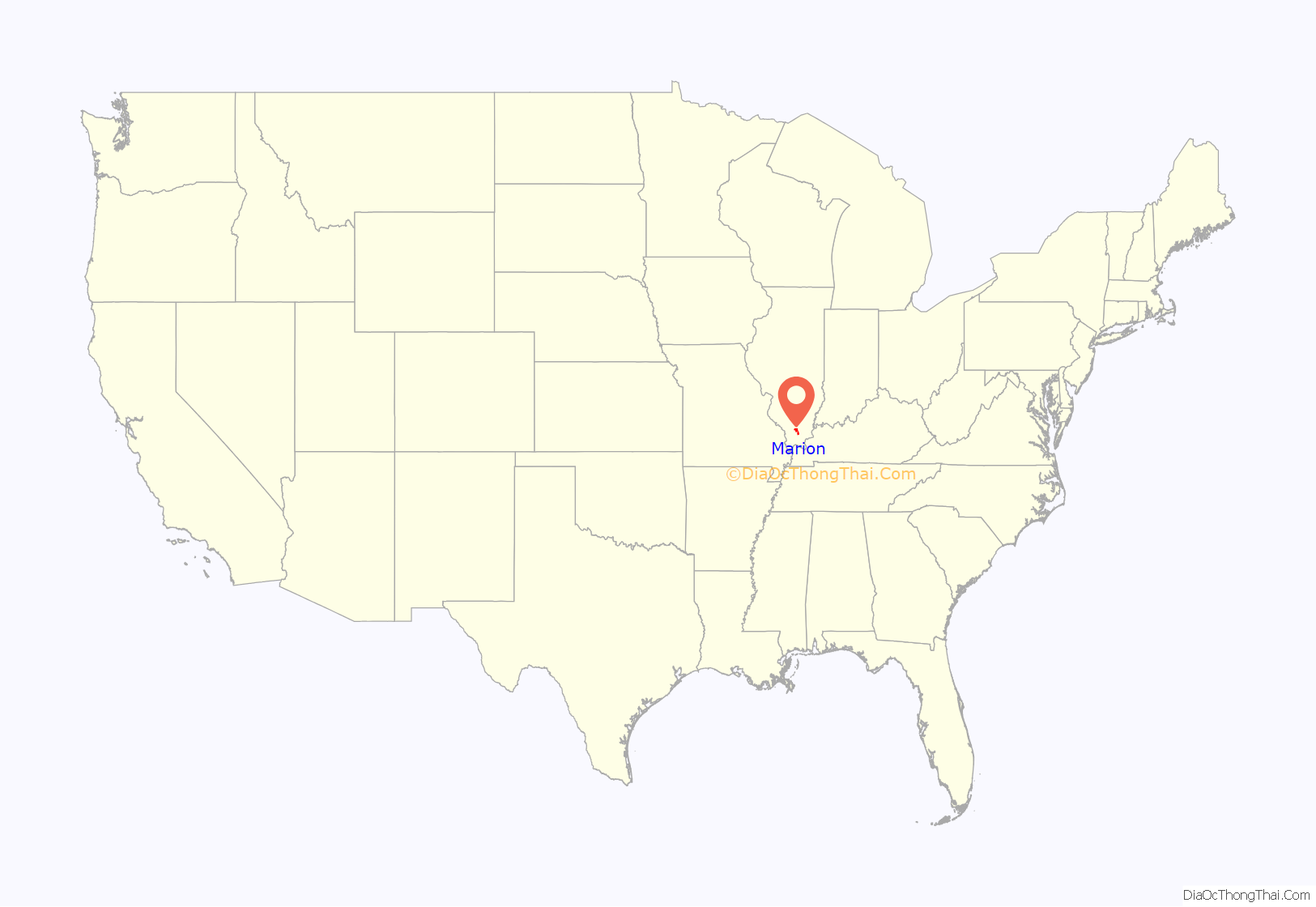
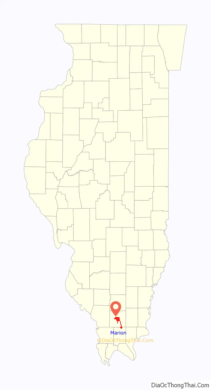
Marion location map. Where is Marion city?
History
Following the creation of Williamson County out of the south half of Franklin County by the Illinois General Assembly, three commissioners appointed by the lawmakers met at Bainbridge, Illinois, on August 19, 1839, for the purpose of locating a new county seat as close to the center of the county as possible. The next day, August 20, they laid out a town of 20 acres (81,000 m) with a public square about one-quarter of a mile east of the county’s center, but a point on top of a slight hill of 448 feet (137 m) above sea level. The site sat in a small open grassland known as Poor Prairie. For a name, they chose Marion to honor American Revolutionary War hero Gen. Francis “Swamp Fox” Marion.
William and Bethany Benson had entered the quarter-quarter section of land that contained the future site of Marion just the previous year on September 8, 1838. He had lived in the county at least since 1817, and was the first settler to enter land in Poor Prairie. At the time the commissioners platted Marion, he had a small crop of corn and wheat growing over what became the public square.
The Williamson County Court organized in Marion on October 7, 1839, at the Benson log cabin. Overflow crowds had to use pumpkins for stools. The federal government established a post office at Marion on January 30, 1840, and the legislature incorporated the community as a city on February 24, 1841.
1982 tornado
On May 29, 1982, one of the larger tornadoes in Illinois history, rated F4, hit the city of Marion and Williamson County. Ten people died and 200 people were injured after this tornado ripped across a 17-mile (27 km) stretch. The Shawnee Village apartment complex was destroyed, and the Marion Ford-Mercury dealership sustained heavy damage. This tornado caused between $85 million and $100 million in damages. A memorial to the ten people who perished that day was later erected on the south side of Tower Square Plaza.
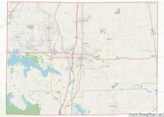
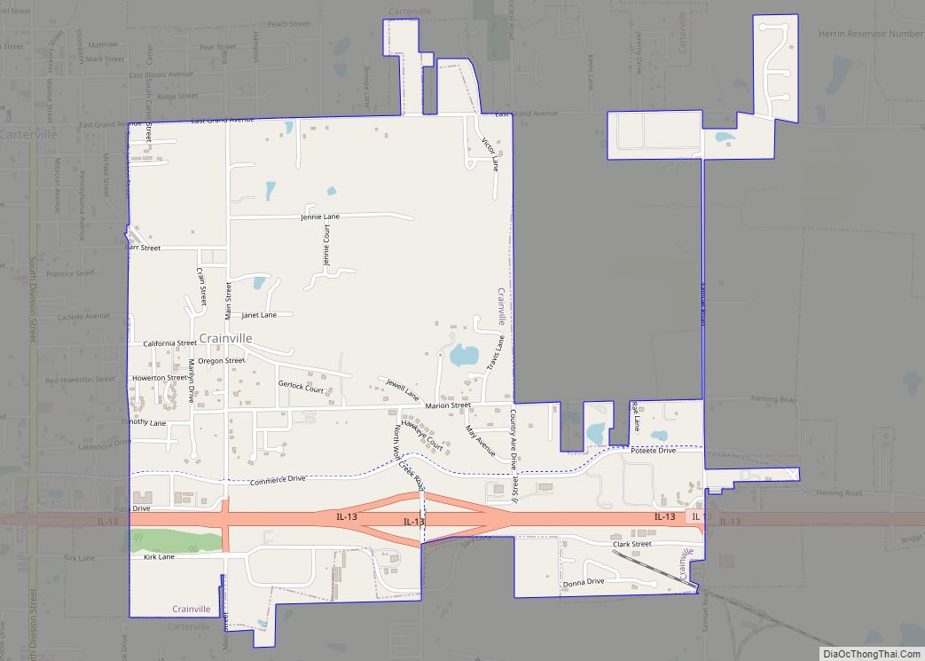
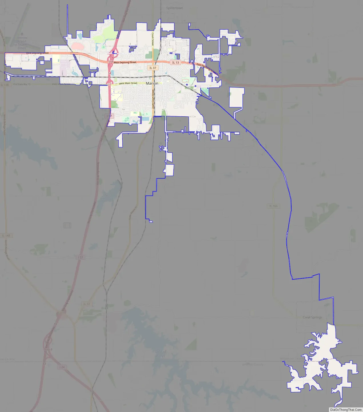
Marion Road Map
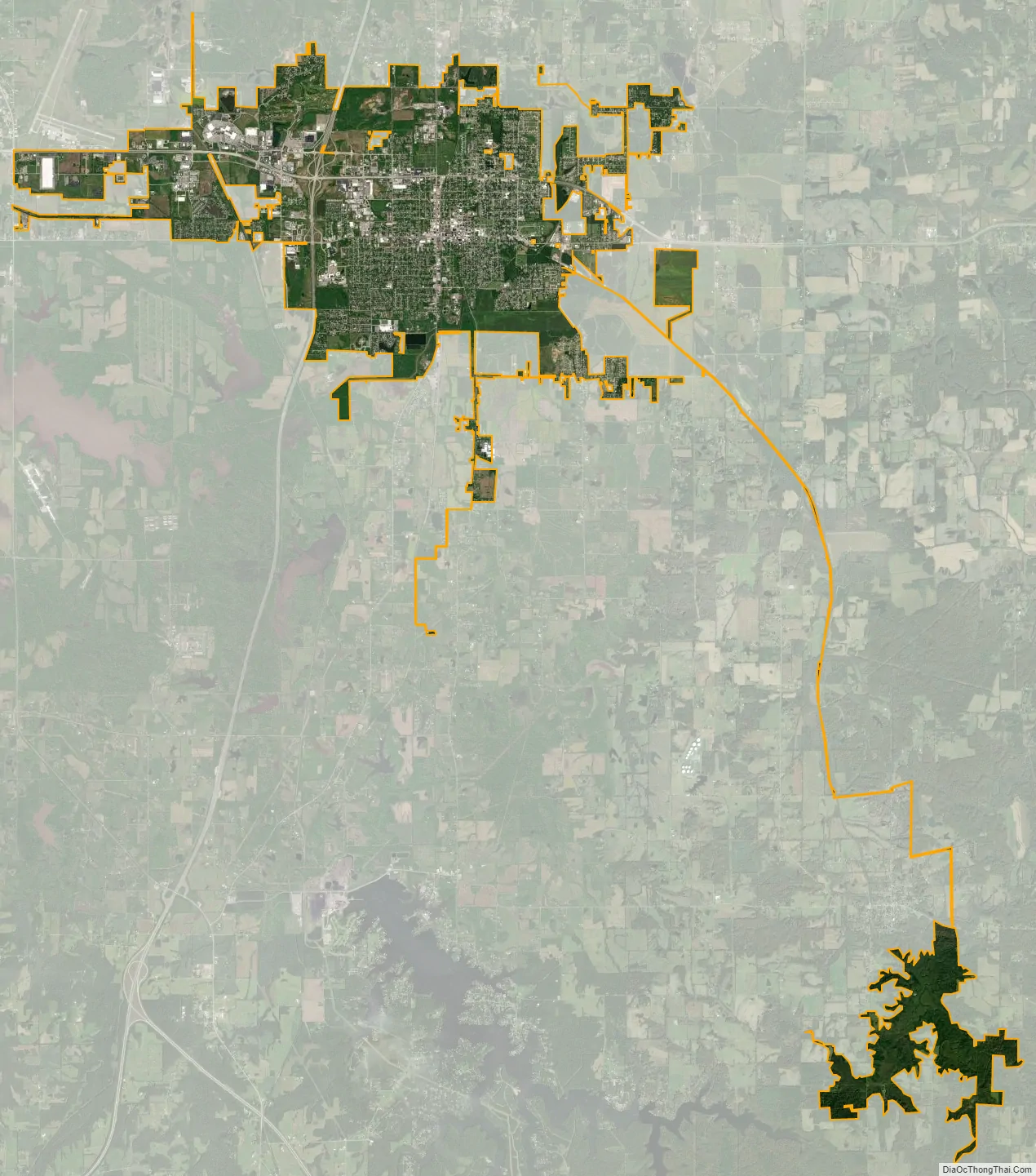
Marion city Satellite Map
Geography
Marion is in central Williamson County, with a narrow strip of city limits extending south beyond Creal Springs to the valley of Sugar Creek in Johnson County. Marion is 44 miles (71 km) south of Mount Vernon, Illinois, and 57 miles (92 km) north of Paducah, Kentucky. Carbondale is 17 miles (27 km) to the west, and Harrisburg is 22 miles (35 km) to the east.
According to the 2010 census, Marion has a total area of 16.217 square miles (42.00 km), of which 15.99 square miles (41.41 km) (or 98.6%) is land and 0.227 square miles (0.59 km) (or 1.4%) is water.
See also
Map of Illinois State and its subdivision:- Adams
- Alexander
- Bond
- Boone
- Brown
- Bureau
- Calhoun
- Carroll
- Cass
- Champaign
- Christian
- Clark
- Clay
- Clinton
- Coles
- Cook
- Crawford
- Cumberland
- De Kalb
- De Witt
- Douglas
- Dupage
- Edgar
- Edwards
- Effingham
- Fayette
- Ford
- Franklin
- Fulton
- Gallatin
- Greene
- Grundy
- Hamilton
- Hancock
- Hardin
- Henderson
- Henry
- Iroquois
- Jackson
- Jasper
- Jefferson
- Jersey
- Jo Daviess
- Johnson
- Kane
- Kankakee
- Kendall
- Knox
- La Salle
- Lake
- Lake Michigan
- Lawrence
- Lee
- Livingston
- Logan
- Macon
- Macoupin
- Madison
- Marion
- Marshall
- Mason
- Massac
- McDonough
- McHenry
- McLean
- Menard
- Mercer
- Monroe
- Montgomery
- Morgan
- Moultrie
- Ogle
- Peoria
- Perry
- Piatt
- Pike
- Pope
- Pulaski
- Putnam
- Randolph
- Richland
- Rock Island
- Saint Clair
- Saline
- Sangamon
- Schuyler
- Scott
- Shelby
- Stark
- Stephenson
- Tazewell
- Union
- Vermilion
- Wabash
- Warren
- Washington
- Wayne
- White
- Whiteside
- Will
- Williamson
- Winnebago
- Woodford
- Alabama
- Alaska
- Arizona
- Arkansas
- California
- Colorado
- Connecticut
- Delaware
- District of Columbia
- Florida
- Georgia
- Hawaii
- Idaho
- Illinois
- Indiana
- Iowa
- Kansas
- Kentucky
- Louisiana
- Maine
- Maryland
- Massachusetts
- Michigan
- Minnesota
- Mississippi
- Missouri
- Montana
- Nebraska
- Nevada
- New Hampshire
- New Jersey
- New Mexico
- New York
- North Carolina
- North Dakota
- Ohio
- Oklahoma
- Oregon
- Pennsylvania
- Rhode Island
- South Carolina
- South Dakota
- Tennessee
- Texas
- Utah
- Vermont
- Virginia
- Washington
- West Virginia
- Wisconsin
- Wyoming