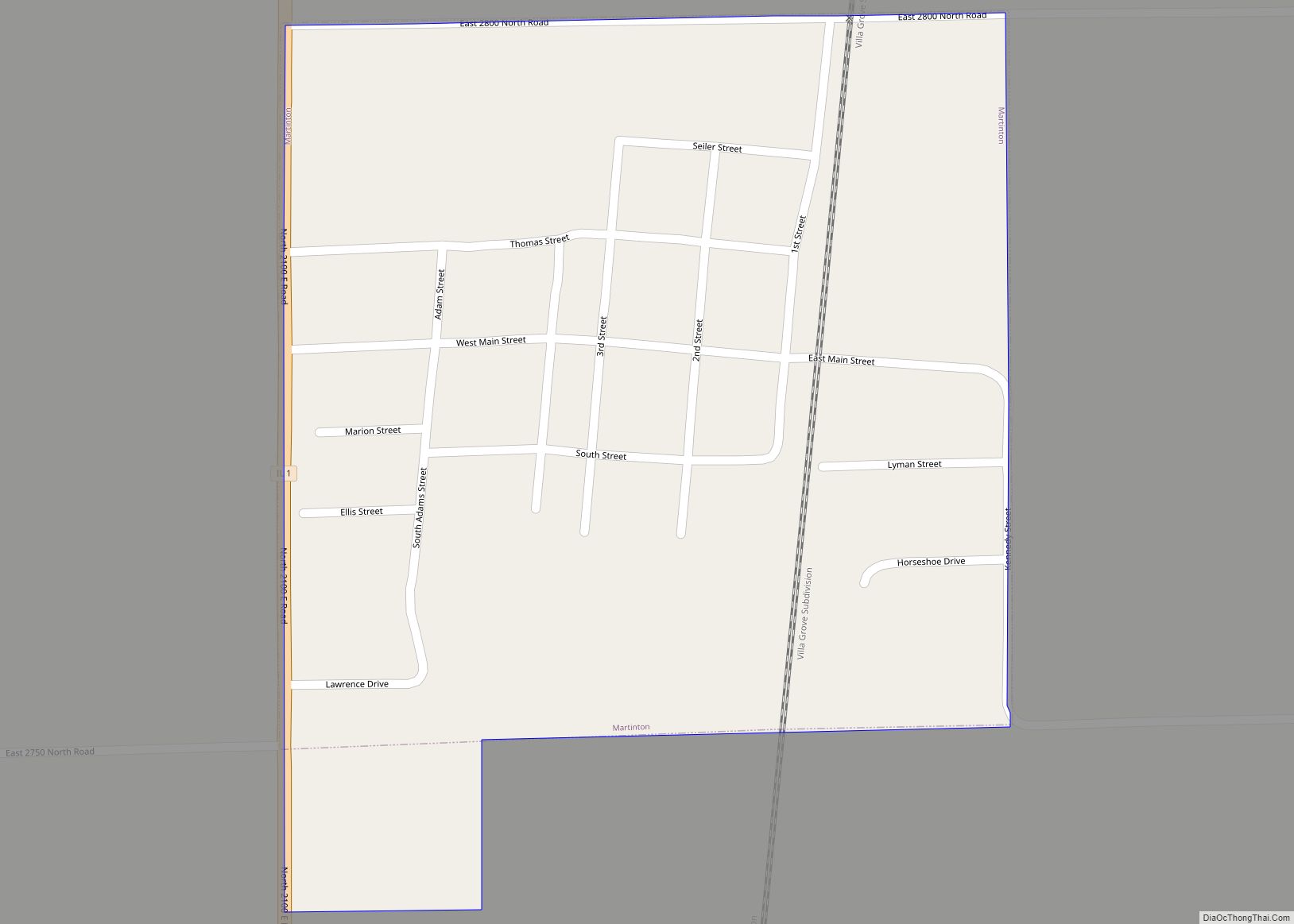
Martinton is a village in Martinton Township, Iroquois County, Illinois, United States. The population was 381 at the 2010 census. Martinton village overview: Name: Martinton village LSAD Code: 47 LSAD Description: village (suffix) State: Illinois County: Iroquois County Elevation: 627 ft (191 m) Total Area: 0.27 sq mi (0.71 km²) Land Area: 0.27 sq mi (0.71 km²) Water Area: 0.00 sq mi (0.00 km²) Total Population: ... Read more
Illinois Cities and Places
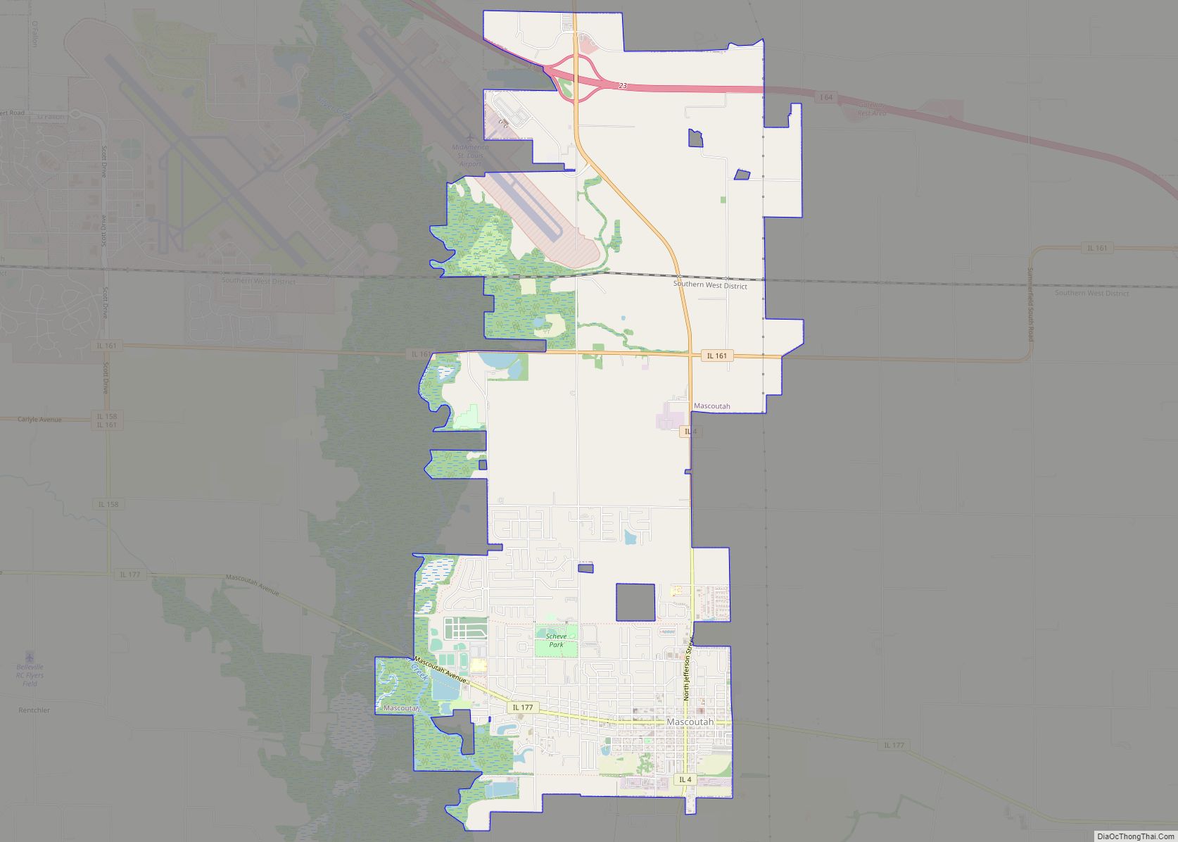
Mascoutah is a city in St. Clair County, Illinois, United States, named for the Mascoutens, a tribe of the Michigan Indians. The population was 7,483 at the 2010 census. According to the US Census Bureau, the population was estimated at 7,994 in 2019. Mascoutah city overview: Name: Mascoutah city LSAD Code: 25 LSAD Description: city ... Read more
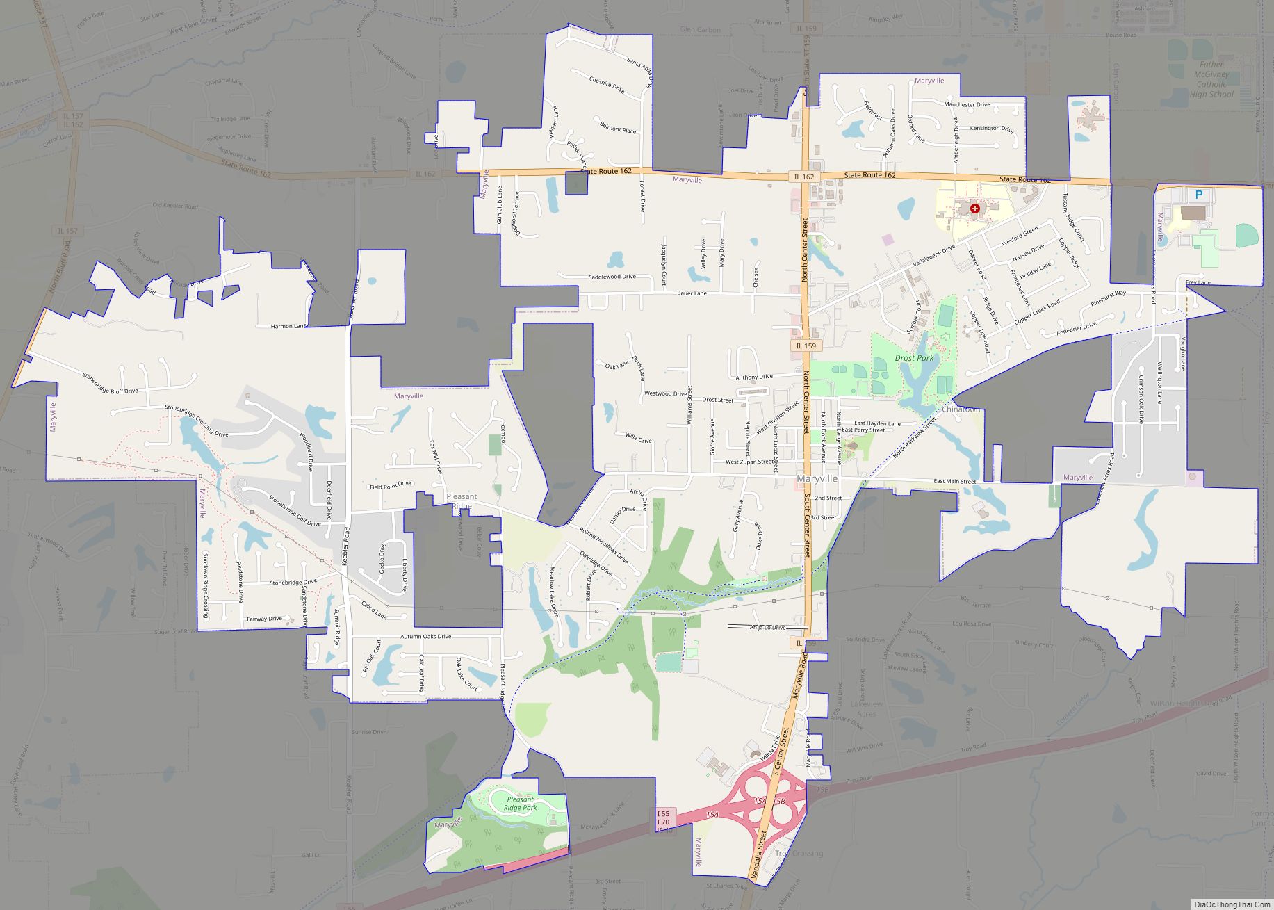
Maryville is a village in Madison County, Illinois, United States. The population was 8,221 at the 2020 census, up from 7,487 in 2010. Maryville village overview: Name: Maryville village LSAD Code: 47 LSAD Description: village (suffix) State: Illinois County: Madison County Elevation: 568 ft (173 m) Total Area: 5.76 sq mi (14.93 km²) Land Area: 5.68 sq mi (14.72 km²) Water Area: 0.08 sq mi ... Read more
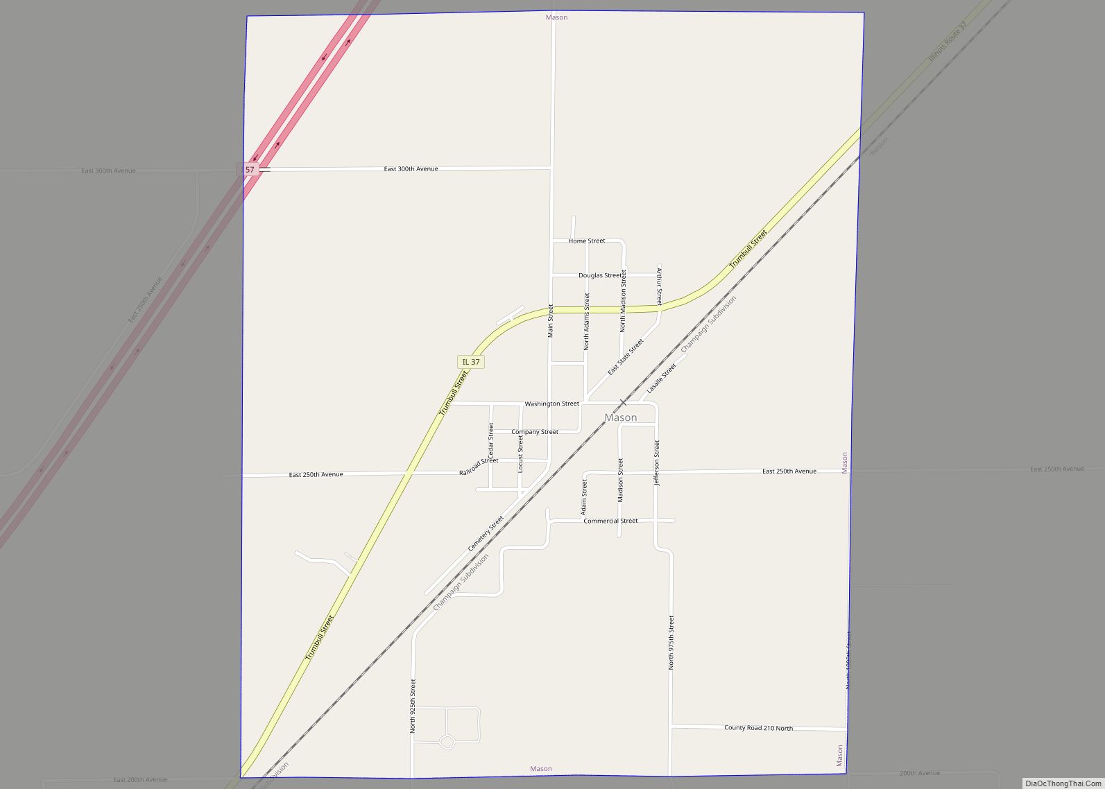
Mason is an incorporated town in Effingham County, Illinois, United States. The population was 345 at the 2010 census, down from 396 at the 2000 census. It was named after Roswell Mason, an official of the Illinois Central Railroad. Mason is part of the Effingham, IL Micropolitan Statistical Area. Mason town overview: Name: Mason town ... Read more
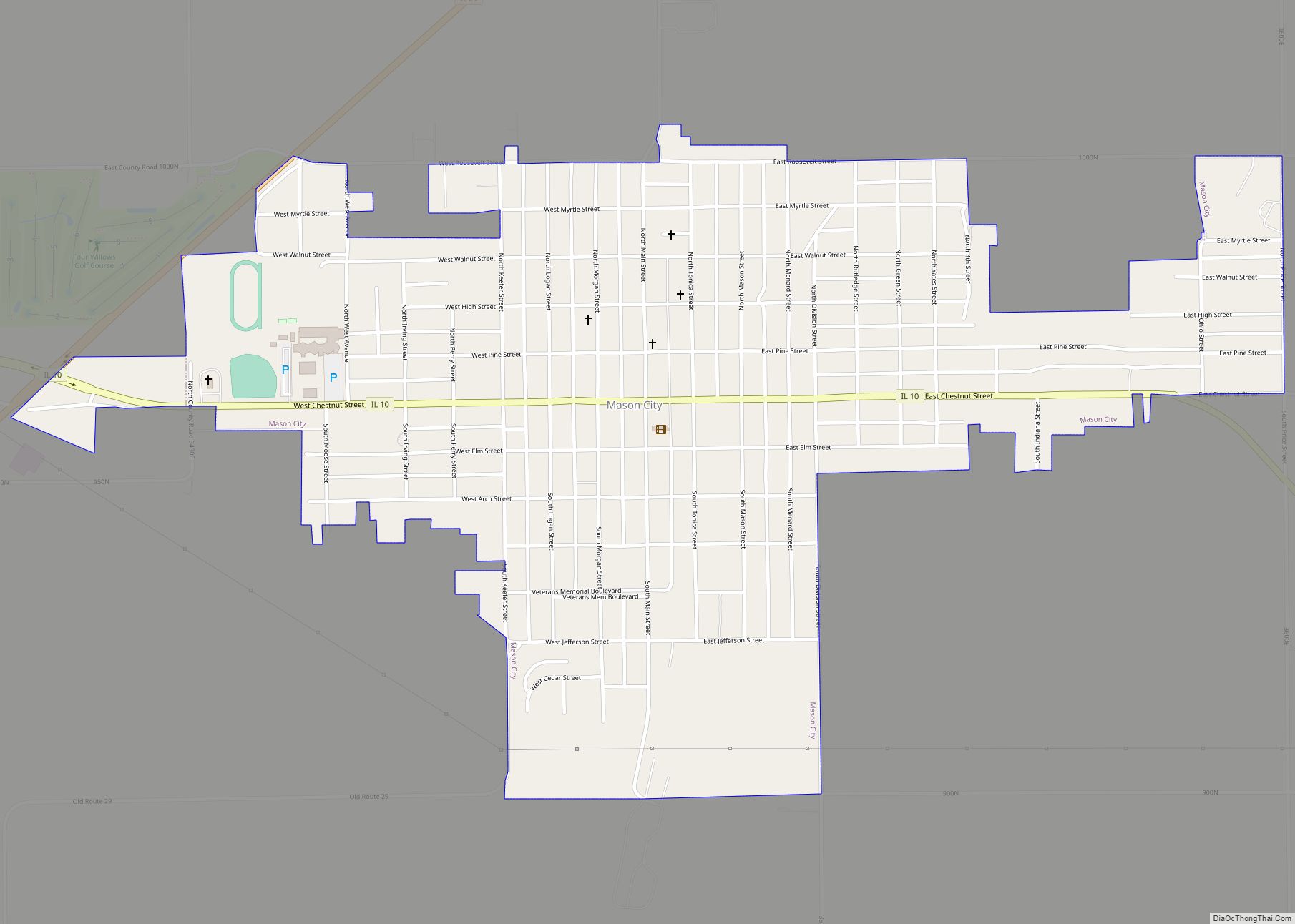
Mason City is a city in Mason County, Illinois, United States. The population was 2,077 at the 2020 census, down from 2,343 in 2010. Mason City city overview: Name: Mason City city LSAD Code: 25 LSAD Description: city (suffix) State: Illinois County: Mason County Elevation: 581 ft (177 m) Total Area: 1.01 sq mi (2.62 km²) Land Area: 1.01 sq mi (2.62 km²) ... Read more
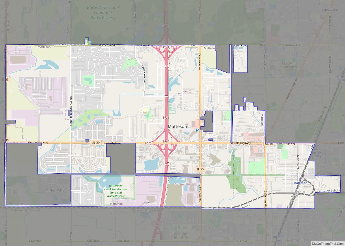
Matteson (/ˈmætɪsən/) is a village in Cook County, Illinois, United States. The population was 19,073 at the 2020 census. It is a suburb of Chicago. Matteson village overview: Name: Matteson village LSAD Code: 47 LSAD Description: village (suffix) State: Illinois County: Cook County, Will County Incorporated: 1889 Total Area: 9.32 sq mi (24.14 km²) Land Area: 9.29 sq mi (24.05 km²) ... Read more
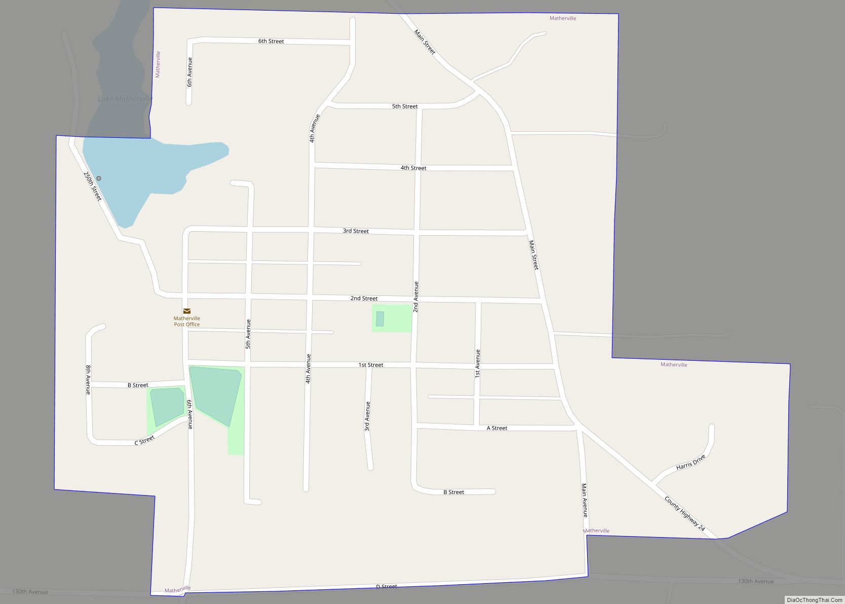
Matherville is a village in Mercer County, Illinois, United States. The population was 707 at the 2020 census. Matherville village overview: Name: Matherville village LSAD Code: 47 LSAD Description: village (suffix) State: Illinois County: Mercer County Elevation: 750 ft (230 m) Total Area: 0.40 sq mi (1.03 km²) Land Area: 0.39 sq mi (1.01 km²) Water Area: 0.01 sq mi (0.02 km²) Total Population: 707 Population ... Read more
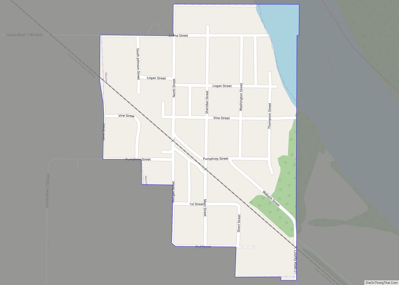
Maunie is a village in White County, Illinois, United States. The population was 177 at the 2000 census. Maunie village overview: Name: Maunie village LSAD Code: 47 LSAD Description: village (suffix) State: Illinois County: White County Elevation: 371 ft (113 m) Total Area: 0.17 sq mi (0.43 km²) Land Area: 0.16 sq mi (0.41 km²) Water Area: 0.01 sq mi (0.02 km²) Total Population: 91 Population ... Read more
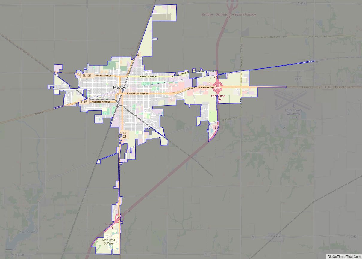
Mattoon (/ˈmæt.tun/ MAT-toon) is a city in Coles County, Illinois, United States. The population was 16,870 as of the 2020 census. The city is home to Lake Land College and has close ties with its neighbor, Charleston. Both are principal cities of the Charleston–Mattoon Micropolitan Statistical Area. Mattoon city overview: Name: Mattoon city LSAD Code: ... Read more
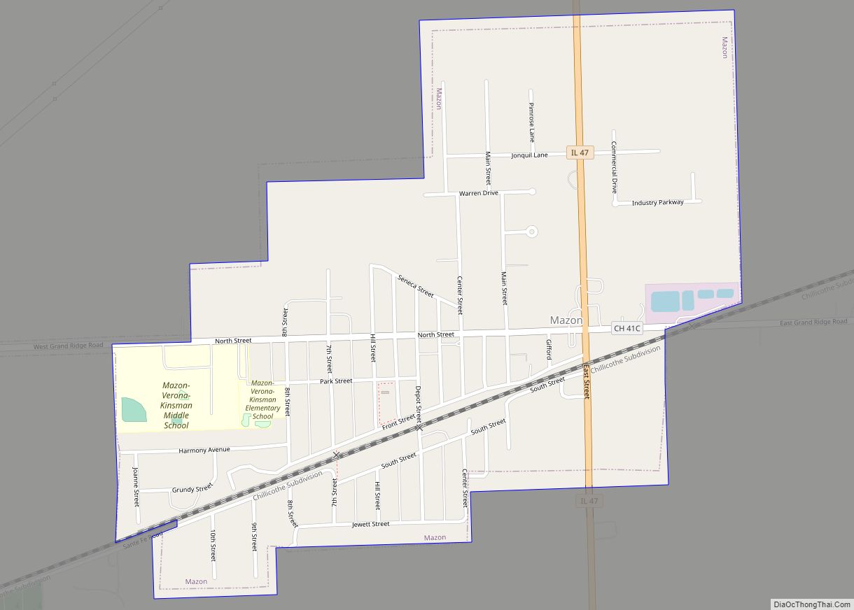
Mazon (məˈzɒn/) is a village in Mazon Township, Grundy County, Illinois, United States. The name derives from the Potawatomi word for “nettles” (mzan). The population was 1,015 at the 2010 census. The center of population of Illinois is located in Mazon. Illinois’ State Fossil, the unique and bizarre Tully Monster was first found in nearby ... Read more
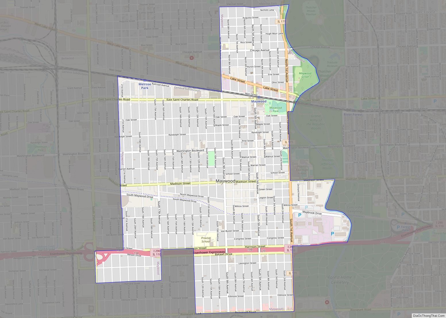
Maywood is a village in Proviso Township, Cook County, Illinois, United States in the Chicago metropolitan area. It was founded on April 6, 1869, and organized October 22, 1881. The population was 23,512 at the 2020 United States Census. Maywood village overview: Name: Maywood village LSAD Code: 47 LSAD Description: village (suffix) State: Illinois County: ... Read more
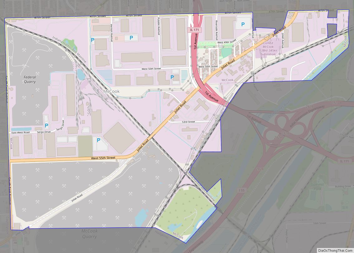
McCook is a village in Cook County, Illinois, United States, and is an industrial suburb of Chicago. As of the 2020 census, the village population was 249, which is the lowest population of all municipalities in the county. McCook village overview: Name: McCook village LSAD Code: 47 LSAD Description: village (suffix) State: Illinois County: Cook ... Read more
