Map of Mount Morris village

Map of Mount Morris village, Illinois

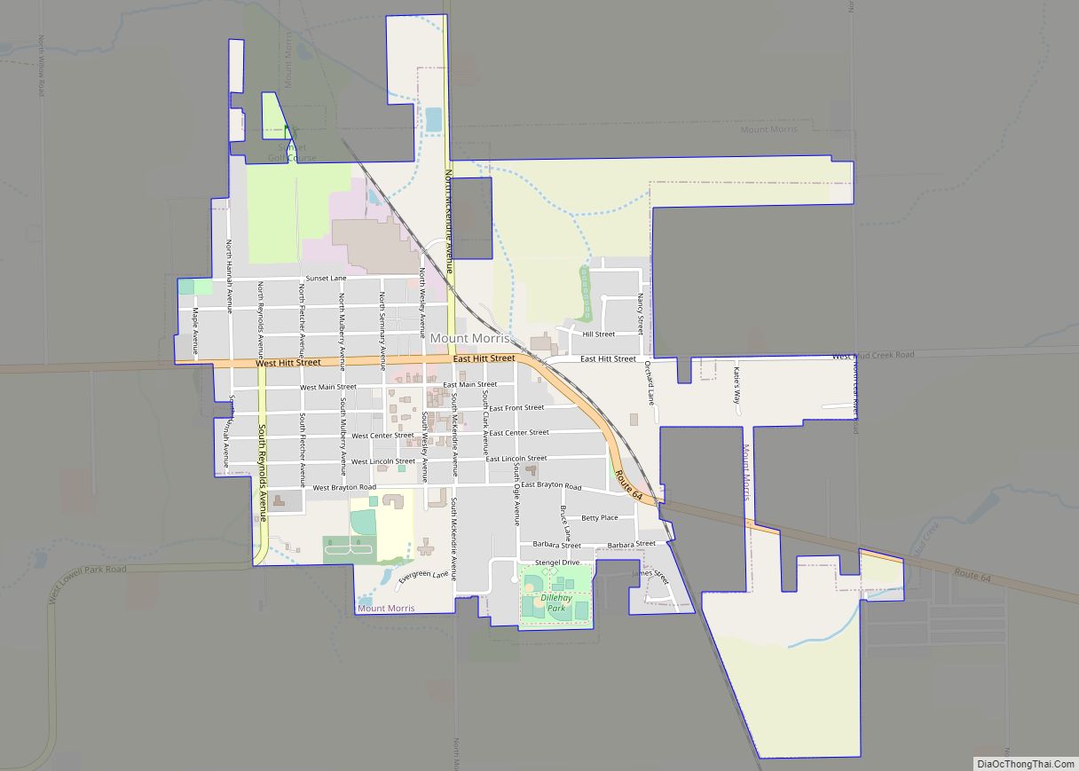
Mount Morris is a village in Mount Morris Township, Ogle County, Illinois, United States. The population was 2,998 at the 2010 census, down from 3,013 in 2000. Mount Morris village overview: Name: Mount Morris village LSAD Code: 47 LSAD Description: village (suffix) State: Illinois County: Ogle County Elevation: 909 ft (277 m) Total Area: 1.56 sq mi (4.04 km²) Land … Read more

Map of Mount Pulaski city

Map of Mount Pulaski city

Mount Pulaski is a city in Logan County, Illinois, United States. The population was 1,566 at the 2010 census, and 1,481 at a 2018 estimate. It is the home of the Mount Pulaski Courthouse State Historic Site. The city is named in honor of Polish Revolutionary War hero Casimir Pulaski. Mount Pulaski has one high … Read more

Map of Mount Prospect village

Map of Mount Prospect village

Mount Prospect is a village in Elk Grove and Wheeling Townships in Cook County, Illinois, about 20 miles (32 km) northwest of downtown Chicago, and approximately 4 miles north of O’Hare International Airport. As of the 2020 census, the village had a total population of 56,852. Mount Prospect village overview: Name: Mount Prospect village LSAD Code: … Read more

Map of Mount Vernon city, Illinois

Map of Mount Vernon city, Illinois

Mount Vernon is a city in and the county seat of Jefferson County, Illinois, United States. The population was 14,600 at the 2020 census. Mount Vernon is the principal city of the Mount Vernon Micropolitan Statistical Area, which includes all of Jefferson and Hamilton counties. Mount Vernon city overview: Name: Mount Vernon city LSAD Code: … Read more

Map of Mount Sterling city, Illinois

Map of Mount Sterling city, Illinois

Mount Sterling is a city in and the county seat of Brown County, Illinois, United States. The population was 2,006 at the 2020 census. Foodservice distributor Dot Foods is based in Mount Sterling. Mount Sterling city overview: Name: Mount Sterling city LSAD Code: 25 LSAD Description: city (suffix) State: Illinois County: Brown County Elevation: 735 ft … Read more

Map of Moweaqua village

Map of Moweaqua village

Moweaqua is a village in Shelby and Christian counties, Illinois, United States. The population was 1,764 at the 2020 census. Moweaqua village overview: Name: Moweaqua village LSAD Code: 47 LSAD Description: village (suffix) State: Illinois County: Christian County, Shelby County Elevation: 633 ft (193 m) Total Area: 2.30 sq mi (5.95 km²) Land Area: 2.30 sq mi (5.95 km²) Water Area: 0.00 sq mi (0.00 km²) … Read more

Map of Mount Zion village, Illinois

Map of Mount Zion village, Illinois

Mount Zion is a village in Macon County, Illinois, United States. The population was 6,019 at the 2020 census. Mount Zion village overview: Name: Mount Zion village LSAD Code: 47 LSAD Description: village (suffix) State: Illinois County: Macon County Founded: 1881 Elevation: 690 ft (210 m) Total Area: 4.28 sq mi (11.1 km²) Land Area: 4.28 sq mi (11.1 km²) Water Area: 0.00 sq mi … Read more

Map of Mulberry Grove village

Map of Mulberry Grove village

Mulberry Grove is a village in eastern Bond County, Illinois, United States. The population was 520 at the 2020 census. Mulberry Grove village overview: Name: Mulberry Grove village LSAD Code: 47 LSAD Description: village (suffix) State: Illinois County: Bond County Incorporated: 1857 Elevation: 548 ft (167 m) Total Area: 1.02 sq mi (2.66 km²) Land Area: 1.02 sq mi (2.63 km²) Water Area: … Read more

Map of Muddy village

Map of Muddy village, Illinois

Muddy is a small incorporated village located in the Harrisburg Township in Saline County, Illinois, United States. The population was 78 at the 2000 census. Muddy village overview: Name: Muddy village LSAD Code: 47 LSAD Description: village (suffix) State: Illinois County: Saline County Total Area: 0.30 sq mi (0.79 km²) Land Area: 0.30 sq mi (0.78 km²) Water Area: 0.00 sq mi (0.00 km²) … Read more

Map of Mulkeytown CDP

Map of Mulkeytown CDP

Mulkeytown is an unincorporated and census-designated place in Franklin County, Illinois, United States. As of the 2010 census it had a population of 175. Mulkeytown CDP overview: Name: Mulkeytown CDP LSAD Code: 57 LSAD Description: CDP (suffix) State: Illinois County: Franklin County Elevation: 449 ft (137 m) Total Area: 0.28 sq mi (0.71 km²) Land Area: 0.28 sq mi (0.71 km²) Water Area: … Read more

Map of Muncie village

Map of Muncie village, Illinois

Muncie is a village in Oakwood Township, Vermilion County, Illinois, United States. It is part of the Danville, Illinois Metropolitan Statistical Area. The population was 155 at the 2000 census. Muncie village overview: Name: Muncie village LSAD Code: 47 LSAD Description: village (suffix) State: Illinois County: Vermilion County Elevation: 643 ft (196 m) Total Area: 0.18 sq mi (0.46 km²) … Read more

Map of Murphysboro city

Map of Murphysboro city

Murphysboro is a city in and the county seat of Jackson County, Illinois, United States. The population was 7,093 at the 2020 census. The city is part of the Metro Lakeland area. The mayor of Murphysboro is Will Stephens. The government consists of the mayor and 10 city aldermen. Murphysboro city overview: Name: Murphysboro city … Read more