Murphysboro is a city in and the county seat of Jackson County, Illinois, United States. The population was 7,093 at the 2020 census. The city is part of the Metro Lakeland area. The mayor of Murphysboro is Will Stephens. The government consists of the mayor and 10 city aldermen.
| Name: | Murphysboro city |
|---|---|
| LSAD Code: | 25 |
| LSAD Description: | city (suffix) |
| State: | Illinois |
| County: | Jackson County |
| Founded: | 1843 |
| Elevation: | 410 ft (120 m) |
| Total Area: | 5.33 sq mi (13.81 km²) |
| Land Area: | 5.25 sq mi (13.59 km²) |
| Water Area: | 0.09 sq mi (0.22 km²) |
| Total Population: | 7,093 |
| Population Density: | 1,351.56/sq mi (521.86/km²) |
| Area code: | 618 |
| FIPS code: | 1751453 |
| GNISfeature ID: | 2395141 |
| Website: | http://www.murphysboro.com |
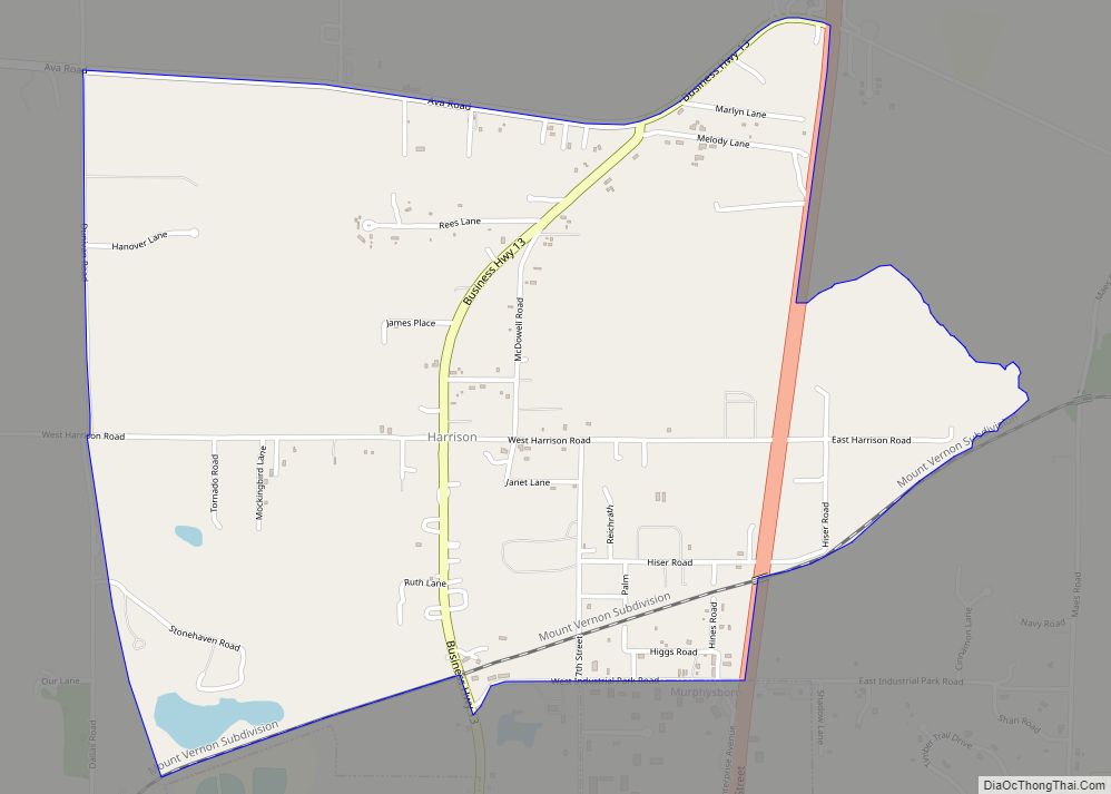
Online Interactive Map
Click on ![]() to view map in "full screen" mode.
to view map in "full screen" mode.
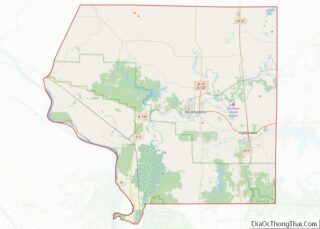
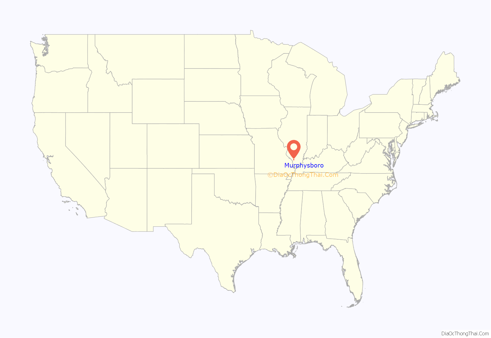
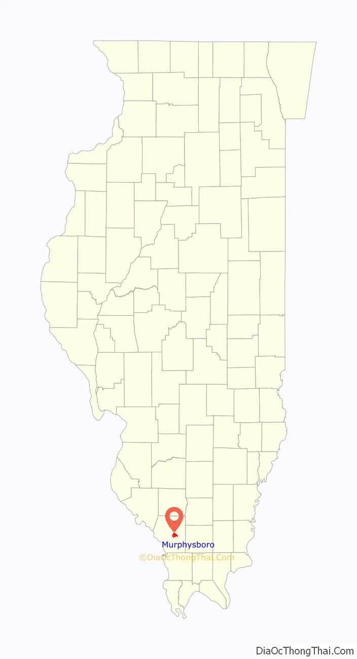
Murphysboro location map. Where is Murphysboro city?
History
Established in September 1843, Murphysboro is the second county seat of Jackson County. Its birth is tied to the disastrous fire that destroyed the courthouse in the first county seat, Brownsville. The fire proved to be the catalyst to move the county seat to a more central location. The name was decided for the new town when William C. Murphy’s name was drawn from a hat containing the names of the three commissioners who chose the new location, a 20-acre (81,000 m) tract of land donated by Dr. John Logan and Elizabeth Logan.
The son of the site’s donors, Major General John A. Logan, later became a volunteer general in the Civil War. General Logan is also remembered for a distinguished political career, serving as Illinois’ US Senator from 1871-1877 and 1880–1886, as well as for running for Vice President in 1884. At the time of his death he was considered a presidential hopeful. Logan’s greatest legacy, however, is his creation of Memorial Day as a national holiday.
The economy of Murphysboro was based on coal for many of its growing years. It was also important in industry and transportation.
On March 18, 1925, at around 2:30 pm, 234 people were killed when the Tri-State tornado hit Murphysboro. This number exceeds the death toll of any single community in a tornado event in U.S. history. Murphysboro was essentially destroyed. Another F4 affected the area on December 18, 1957, causing intense damage to the southeast portion of the town.
The Murphysboro Women’s Club established the town’s public library in 1925. The first library was the former home of Sarah “Sallie” Oliver Logan, opening in 1938. This library was replaced with the current location, Sallie Logan Public Library, in 1975.
On May 8, 2009 a derecho windstorm destroyed houses, brought down power lines, and left the town without electricity for a week. One man was killed by a falling tree limb. The surrounding woodlands and recreational trails were heavily impacted. This event is colloquially remembered as the “May 8th storm” or simply “May 8th.”
In 2017, the total solar eclipse of August 21, 2017 had its point of longest duration (2 minutes, 41.7 seconds) near Murphysboro, at a point about 8 kilometers to the southeast (89.4030 degrees west longitude, 37.69335 degrees north latitude) in Giant City State Park.
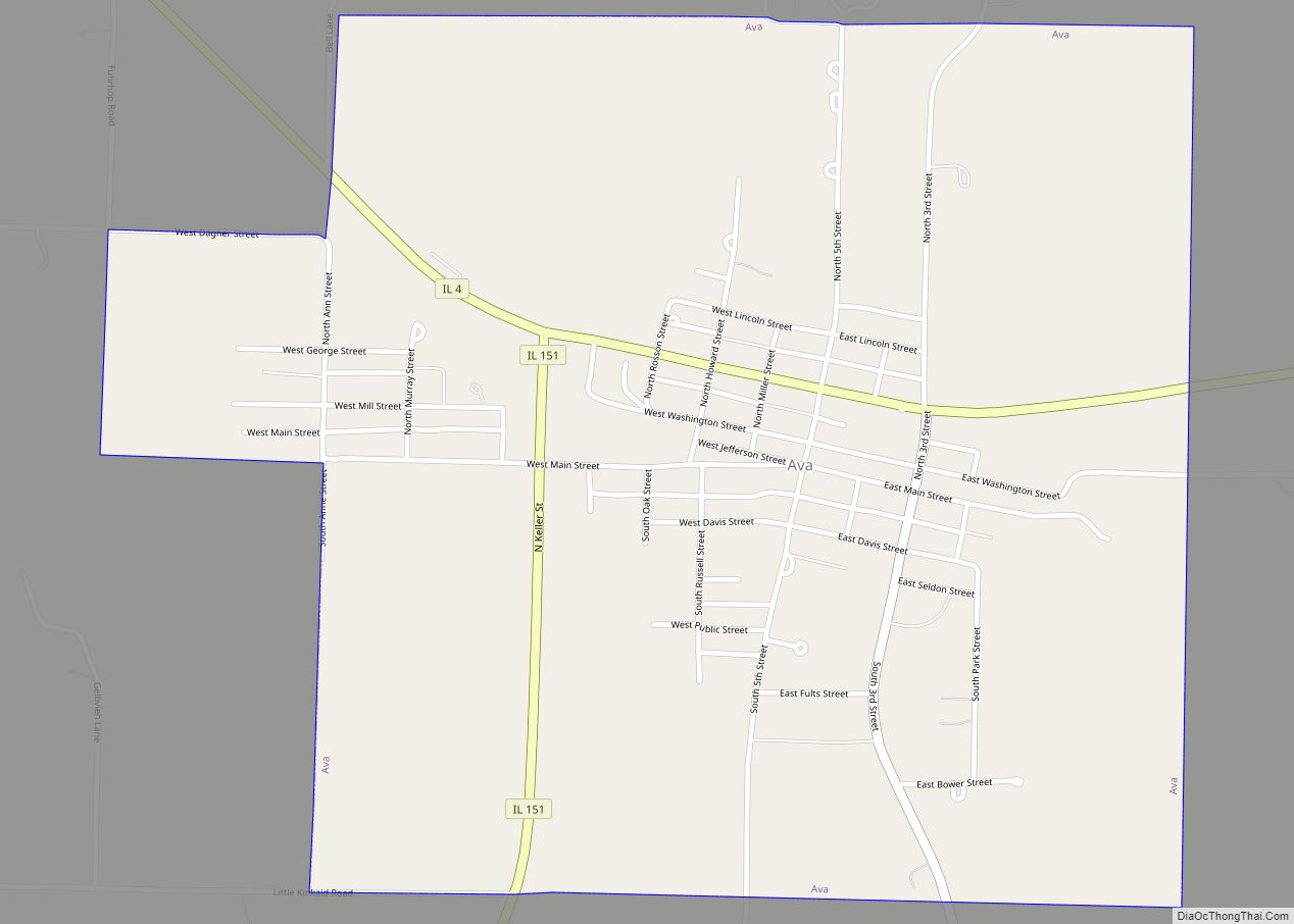
Murphysboro Road Map
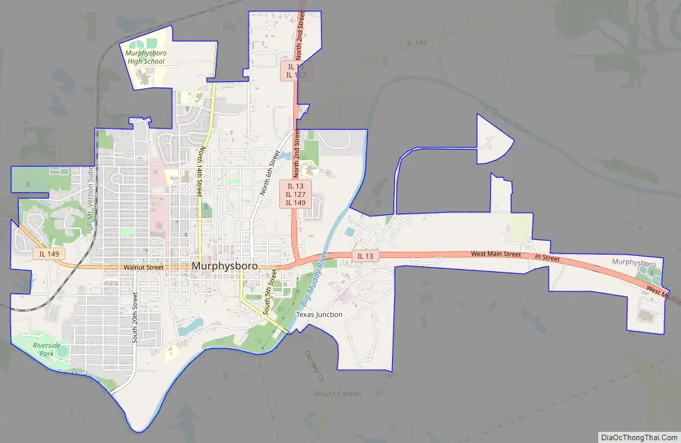
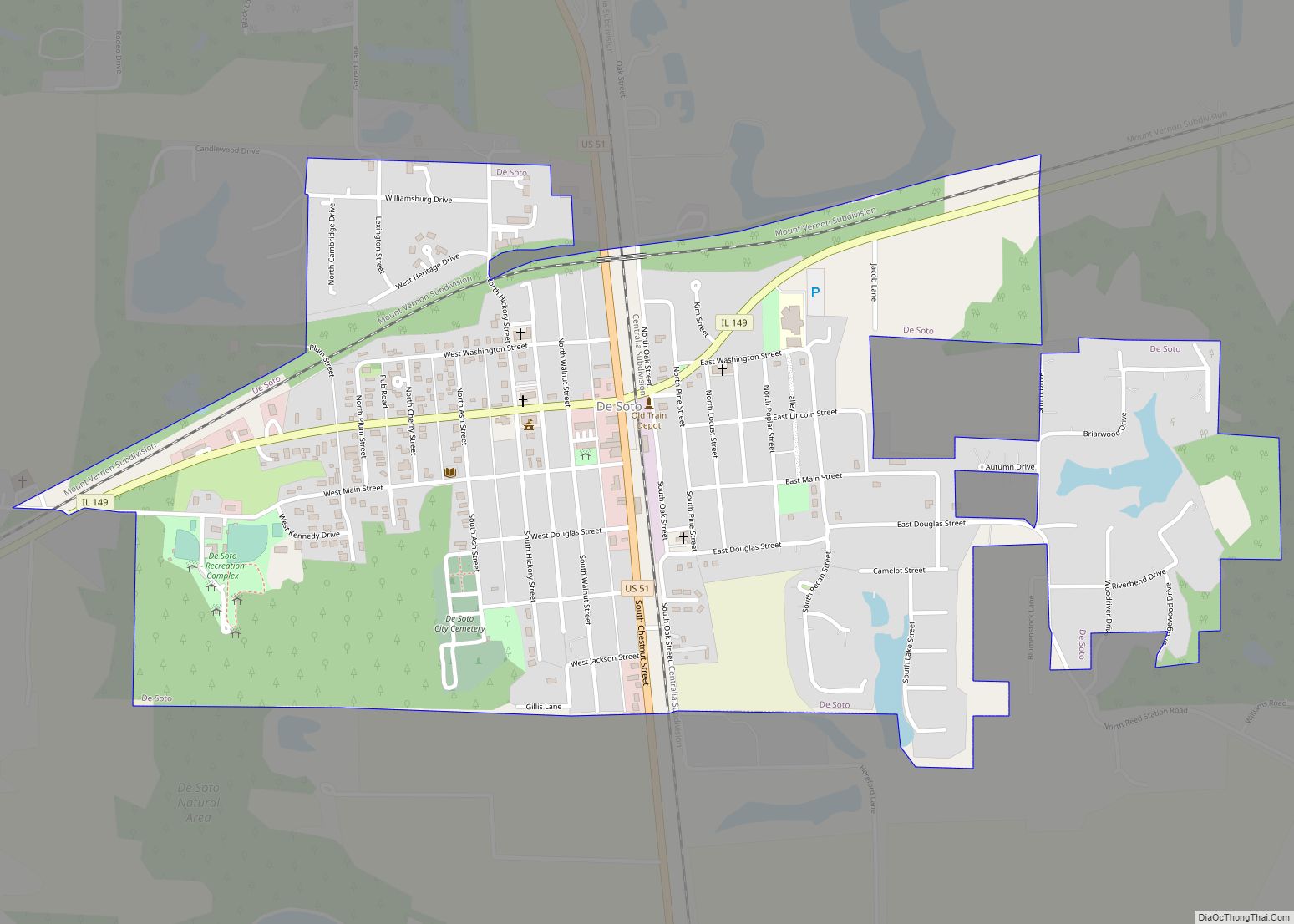
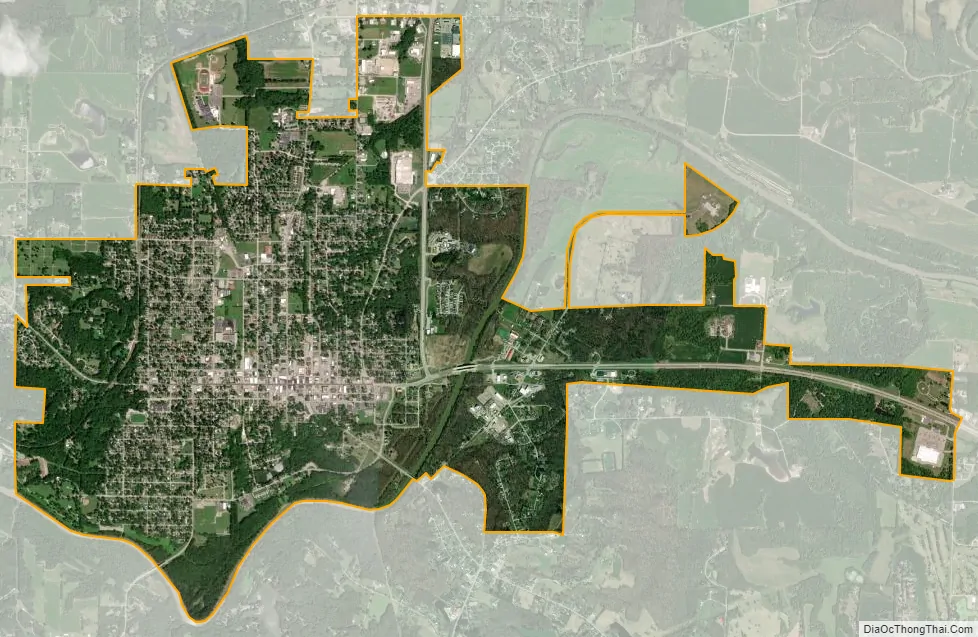
Murphysboro city Satellite Map
Geography
Murphysboro is located at 37°46′2″N 89°20′14″W / 37.76722°N 89.33722°W / 37.76722; -89.33722 (37.767245, -89.337346).
According to the 2010 census, Murphysboro has a total area of 5.235 square miles (13.56 km), of which 5.15 square miles (13.34 km) (or 98.38%) is land and 0.085 square miles (0.22 km) (or 1.62%) is water.
Murphysboro is located 5 miles (8.0 km) southeast of Kinkaid Lake. Although Murphysboro is only 10 miles east of the Mississippi River, the nearest access point to the river is in Grand Tower, a roughly 30 minute drive southwest.
As part of the humid subtropical climate (Köppen climate classification Cfa), Murphysboro can grow a small number of cold hardy palm trees that can live year-round, and can be found sparingly around the municipality.
See also
Map of Illinois State and its subdivision:- Adams
- Alexander
- Bond
- Boone
- Brown
- Bureau
- Calhoun
- Carroll
- Cass
- Champaign
- Christian
- Clark
- Clay
- Clinton
- Coles
- Cook
- Crawford
- Cumberland
- De Kalb
- De Witt
- Douglas
- Dupage
- Edgar
- Edwards
- Effingham
- Fayette
- Ford
- Franklin
- Fulton
- Gallatin
- Greene
- Grundy
- Hamilton
- Hancock
- Hardin
- Henderson
- Henry
- Iroquois
- Jackson
- Jasper
- Jefferson
- Jersey
- Jo Daviess
- Johnson
- Kane
- Kankakee
- Kendall
- Knox
- La Salle
- Lake
- Lake Michigan
- Lawrence
- Lee
- Livingston
- Logan
- Macon
- Macoupin
- Madison
- Marion
- Marshall
- Mason
- Massac
- McDonough
- McHenry
- McLean
- Menard
- Mercer
- Monroe
- Montgomery
- Morgan
- Moultrie
- Ogle
- Peoria
- Perry
- Piatt
- Pike
- Pope
- Pulaski
- Putnam
- Randolph
- Richland
- Rock Island
- Saint Clair
- Saline
- Sangamon
- Schuyler
- Scott
- Shelby
- Stark
- Stephenson
- Tazewell
- Union
- Vermilion
- Wabash
- Warren
- Washington
- Wayne
- White
- Whiteside
- Will
- Williamson
- Winnebago
- Woodford
- Alabama
- Alaska
- Arizona
- Arkansas
- California
- Colorado
- Connecticut
- Delaware
- District of Columbia
- Florida
- Georgia
- Hawaii
- Idaho
- Illinois
- Indiana
- Iowa
- Kansas
- Kentucky
- Louisiana
- Maine
- Maryland
- Massachusetts
- Michigan
- Minnesota
- Mississippi
- Missouri
- Montana
- Nebraska
- Nevada
- New Hampshire
- New Jersey
- New Mexico
- New York
- North Carolina
- North Dakota
- Ohio
- Oklahoma
- Oregon
- Pennsylvania
- Rhode Island
- South Carolina
- South Dakota
- Tennessee
- Texas
- Utah
- Vermont
- Virginia
- Washington
- West Virginia
- Wisconsin
- Wyoming