Mount Zion is a village in Macon County, Illinois, United States. The population was 6,019 at the 2020 census.
| Name: | Mount Zion village |
|---|---|
| LSAD Code: | 47 |
| LSAD Description: | village (suffix) |
| State: | Illinois |
| County: | Macon County |
| Founded: | 1881 |
| Elevation: | 690 ft (210 m) |
| Total Area: | 4.28 sq mi (11.1 km²) |
| Land Area: | 4.28 sq mi (11.1 km²) |
| Water Area: | 0.00 sq mi (0.0 km²) |
| Total Population: | 6,019 |
| Population Density: | 1,414.57/sq mi (546.22/km²) |
| ZIP code: | 62549 |
| Area code: | 217 |
| FIPS code: | 1751206 |
| Website: | www.mtzion.com |
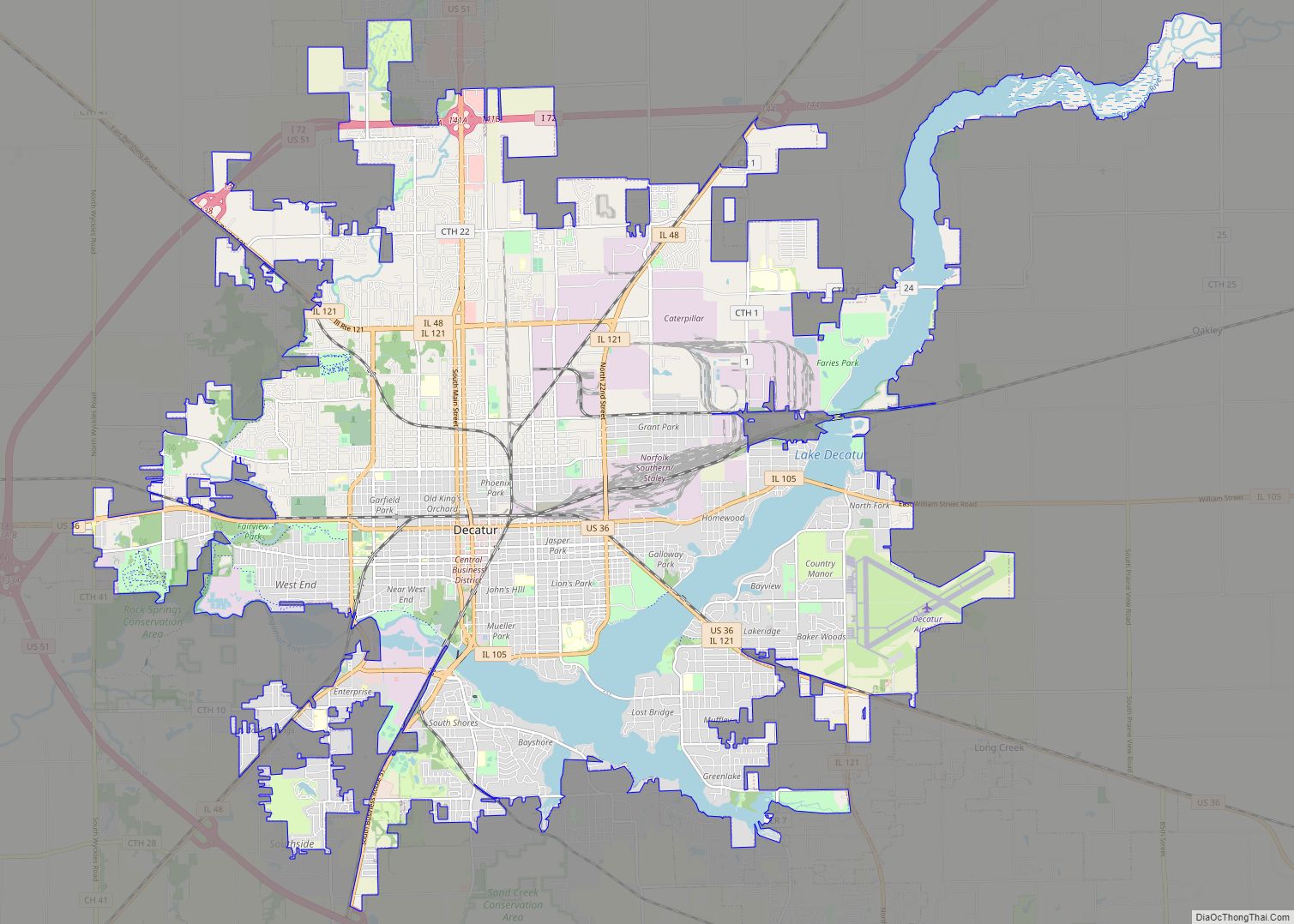
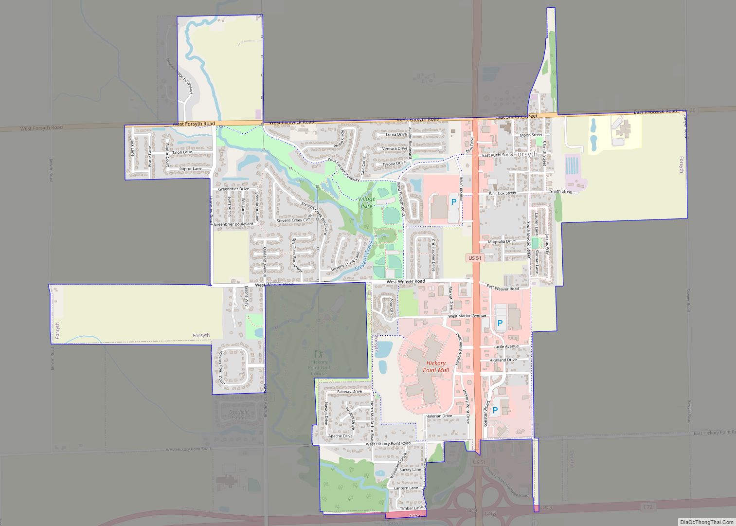
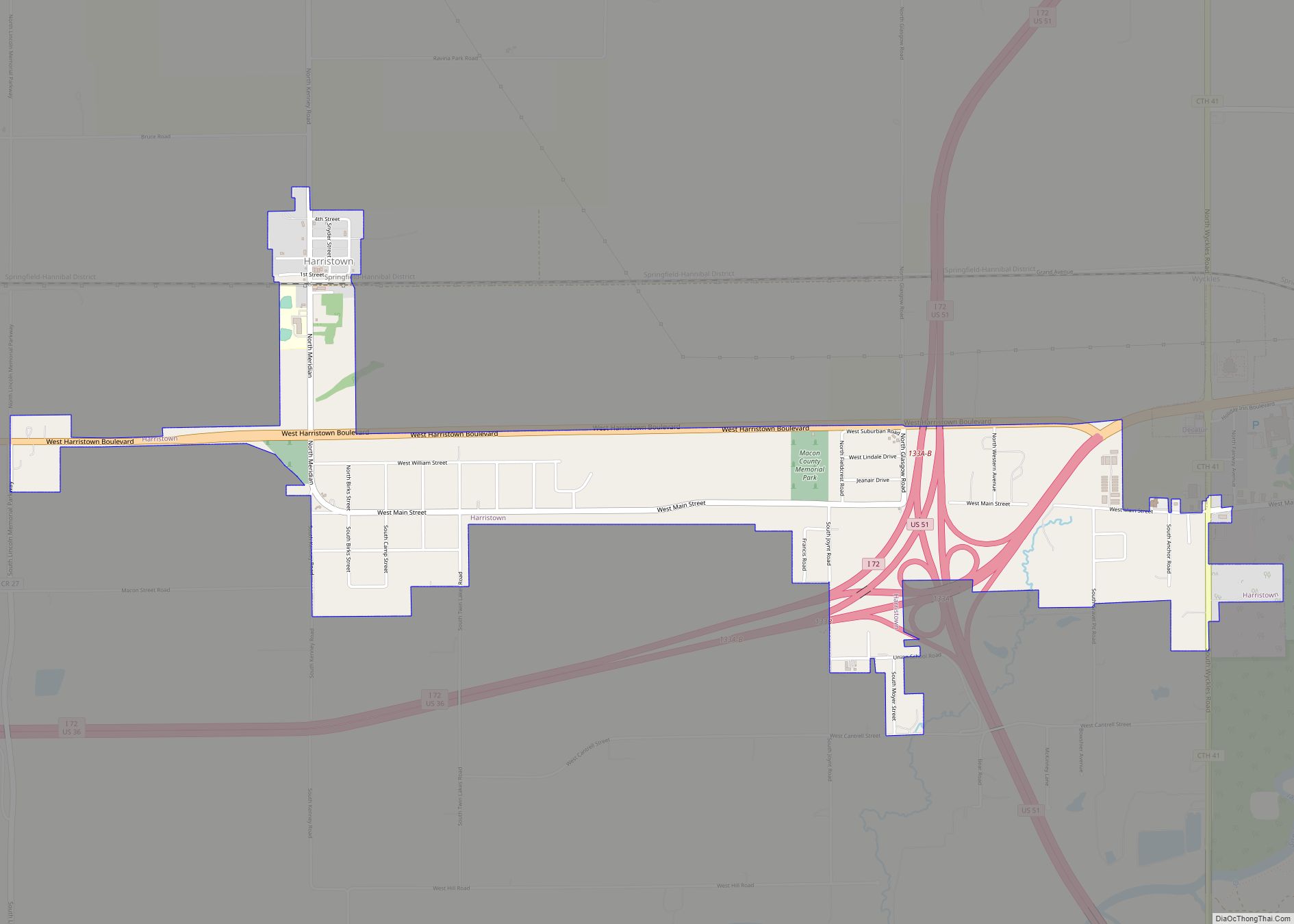
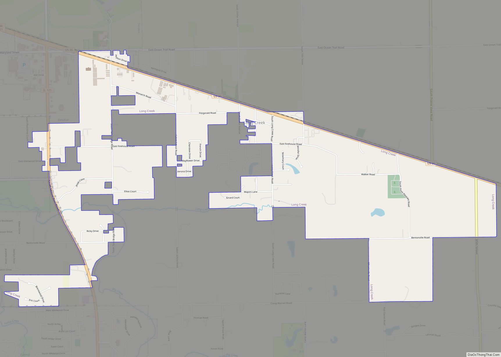
Online Interactive Map
Click on ![]() to view map in "full screen" mode.
to view map in "full screen" mode.
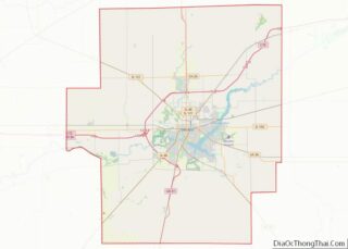
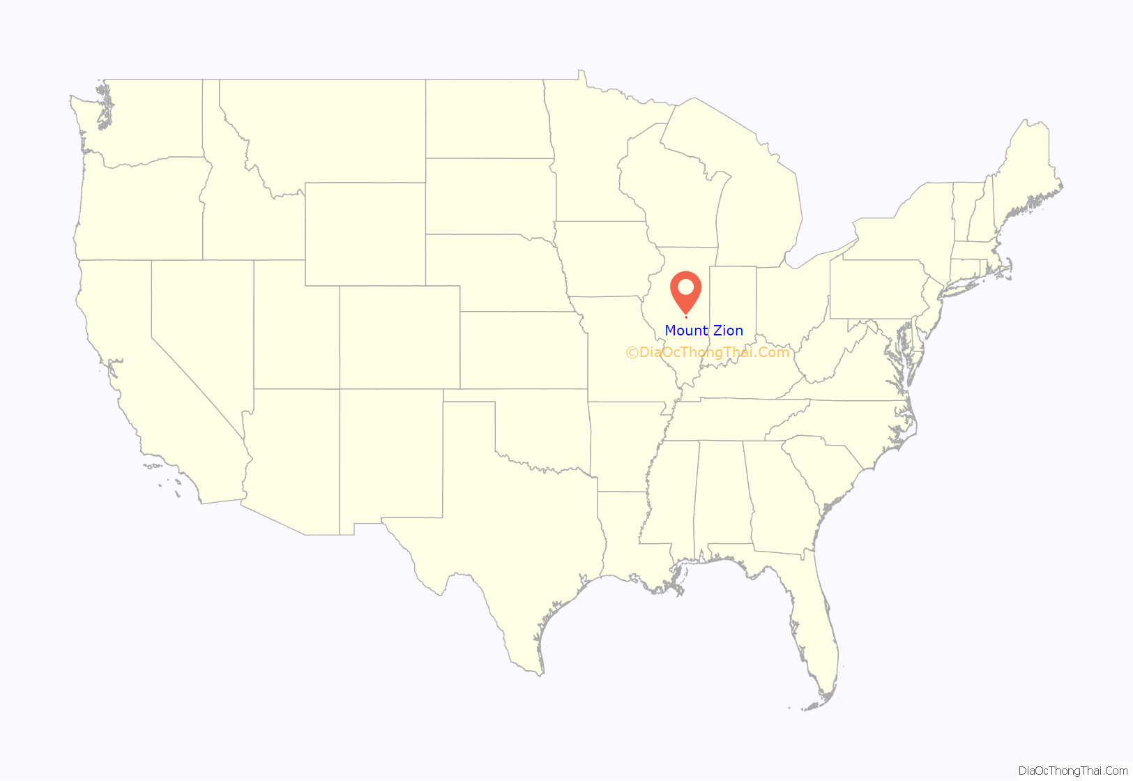
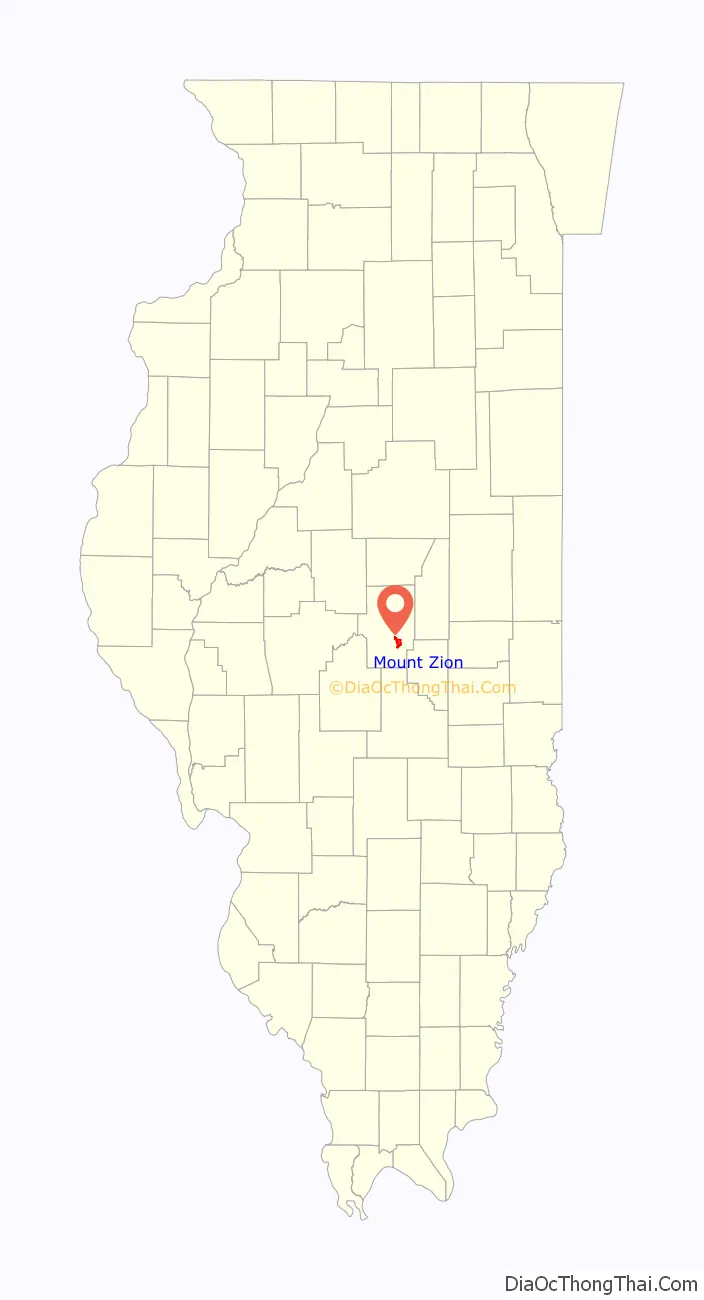
Mount Zion location map. Where is Mount Zion village?
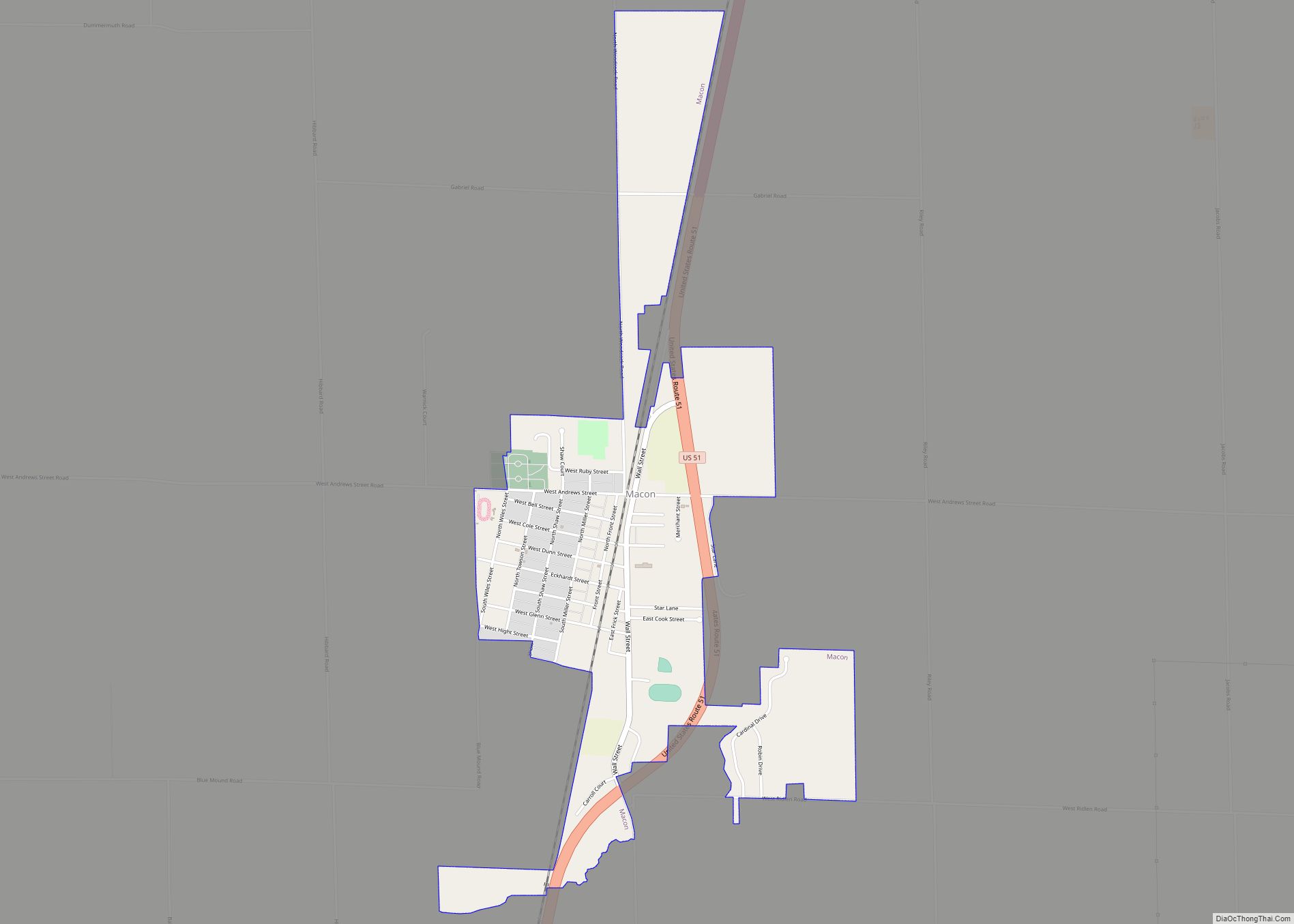
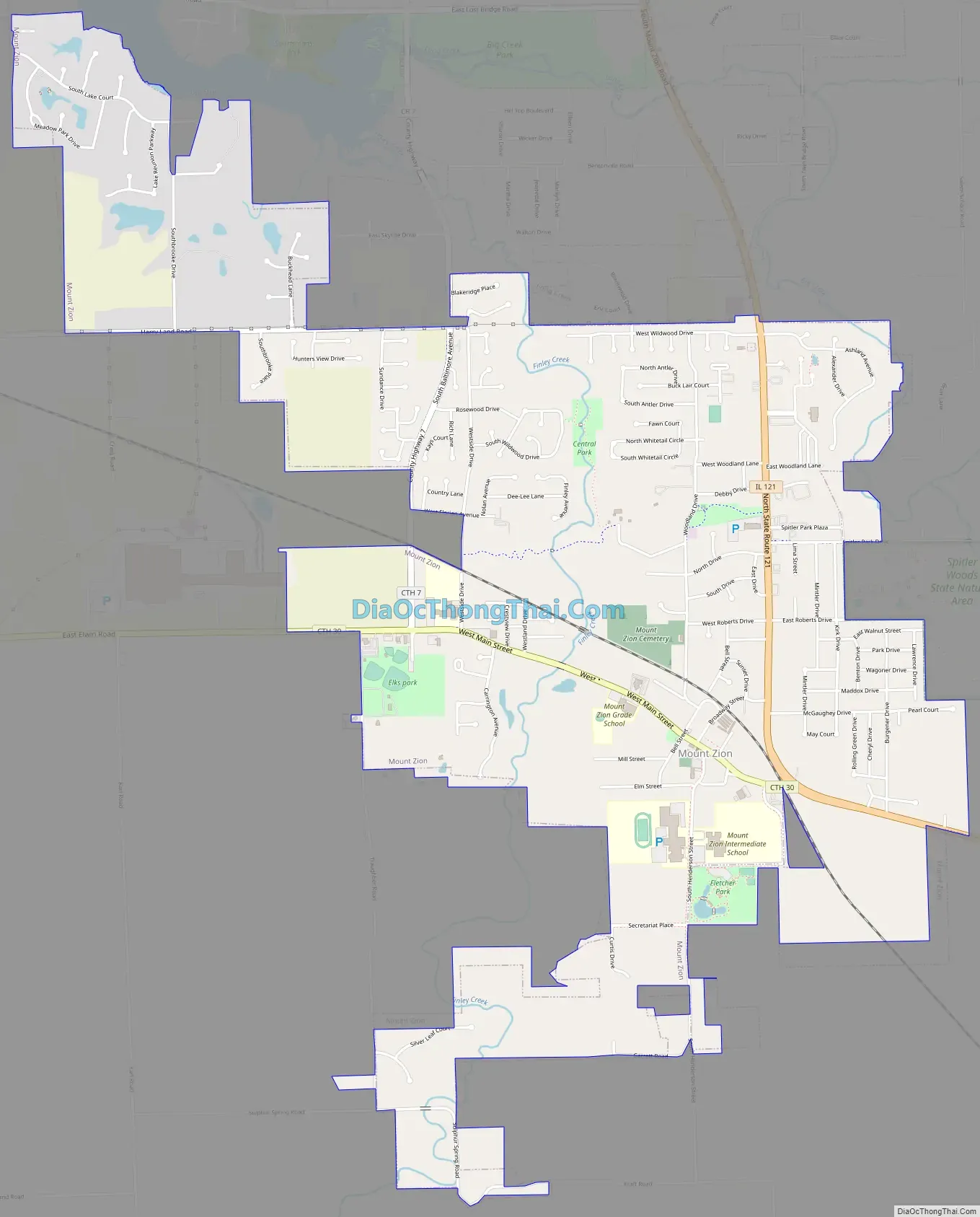
Mount Zion Road Map
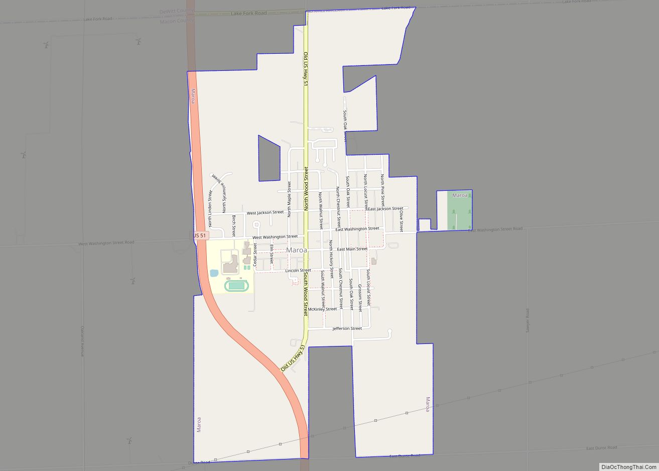
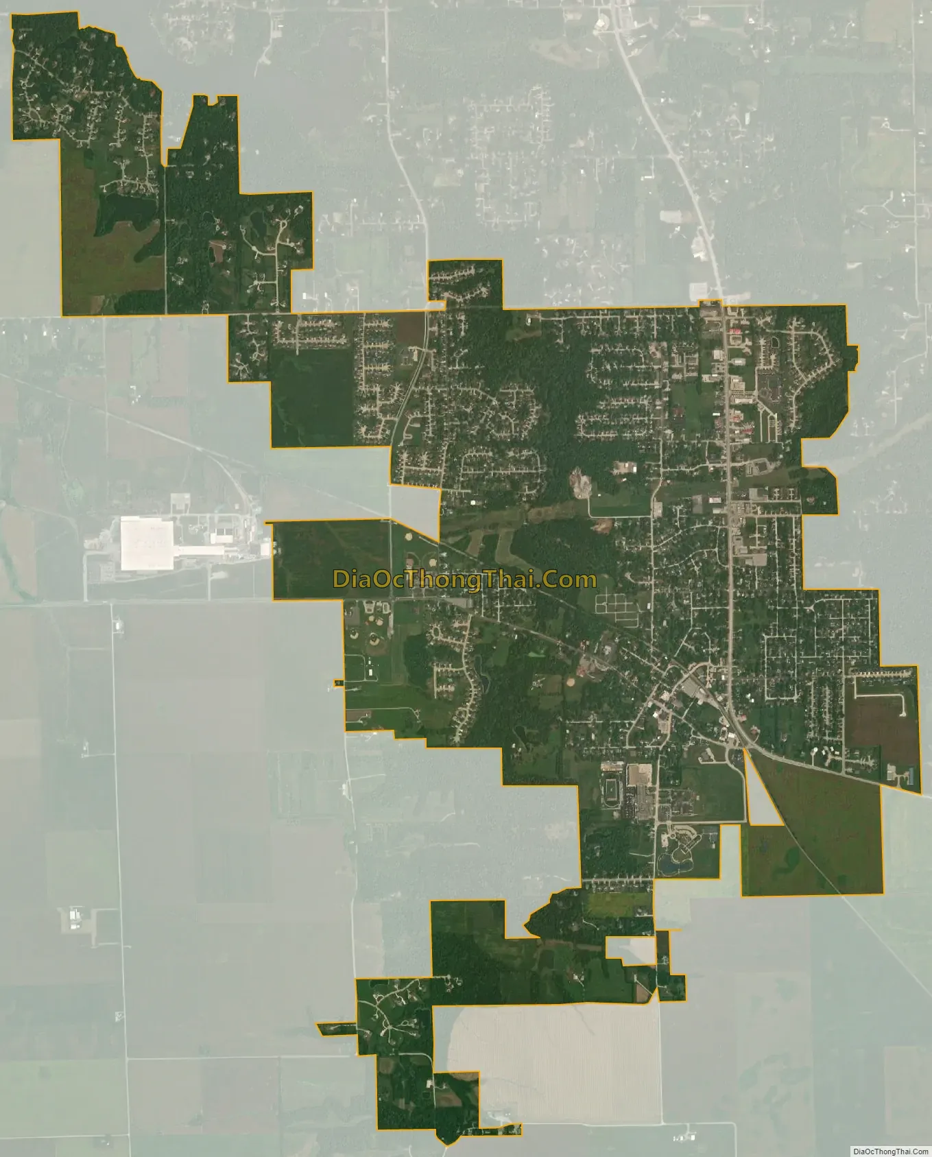
Mount Zion city Satellite Map
Geography
Mount Zion is located in southeastern Macon County at 39°46′41″N 88°52′43″W / 39.77806°N 88.87861°W / 39.77806; -88.87861 (39.777967, -88.878614). It is bordered to the northwest by the city of Decatur, the county seat, and to the north by the village of Long Creek. Illinois Route 121 passes through the village, leading northwest 8 miles (13 km) to the center of Decatur and southeast 19 miles (31 km) to Sullivan.
According to the U.S. Census Bureau, the village of Mount Zion has a total area of 4.28 square miles (11.1 km), of which 0.003 square miles (1.9 acres), or 0.07%, are water. The village is drained to the north by Finley Creek and Big Creek, part of the Sangamon River watershed.
See also
Map of Illinois State and its subdivision:- Adams
- Alexander
- Bond
- Boone
- Brown
- Bureau
- Calhoun
- Carroll
- Cass
- Champaign
- Christian
- Clark
- Clay
- Clinton
- Coles
- Cook
- Crawford
- Cumberland
- De Kalb
- De Witt
- Douglas
- Dupage
- Edgar
- Edwards
- Effingham
- Fayette
- Ford
- Franklin
- Fulton
- Gallatin
- Greene
- Grundy
- Hamilton
- Hancock
- Hardin
- Henderson
- Henry
- Iroquois
- Jackson
- Jasper
- Jefferson
- Jersey
- Jo Daviess
- Johnson
- Kane
- Kankakee
- Kendall
- Knox
- La Salle
- Lake
- Lake Michigan
- Lawrence
- Lee
- Livingston
- Logan
- Macon
- Macoupin
- Madison
- Marion
- Marshall
- Mason
- Massac
- McDonough
- McHenry
- McLean
- Menard
- Mercer
- Monroe
- Montgomery
- Morgan
- Moultrie
- Ogle
- Peoria
- Perry
- Piatt
- Pike
- Pope
- Pulaski
- Putnam
- Randolph
- Richland
- Rock Island
- Saint Clair
- Saline
- Sangamon
- Schuyler
- Scott
- Shelby
- Stark
- Stephenson
- Tazewell
- Union
- Vermilion
- Wabash
- Warren
- Washington
- Wayne
- White
- Whiteside
- Will
- Williamson
- Winnebago
- Woodford
- Alabama
- Alaska
- Arizona
- Arkansas
- California
- Colorado
- Connecticut
- Delaware
- District of Columbia
- Florida
- Georgia
- Hawaii
- Idaho
- Illinois
- Indiana
- Iowa
- Kansas
- Kentucky
- Louisiana
- Maine
- Maryland
- Massachusetts
- Michigan
- Minnesota
- Mississippi
- Missouri
- Montana
- Nebraska
- Nevada
- New Hampshire
- New Jersey
- New Mexico
- New York
- North Carolina
- North Dakota
- Ohio
- Oklahoma
- Oregon
- Pennsylvania
- Rhode Island
- South Carolina
- South Dakota
- Tennessee
- Texas
- Utah
- Vermont
- Virginia
- Washington
- West Virginia
- Wisconsin
- Wyoming